Elevation of Tipp City, OH, USA
Location: United States > Ohio > Miami County > Monroe Township > Tipp City >
Longitude: -84.122403
Latitude: 39.9350959
Elevation: 291m / 955feet
Barometric Pressure: 98KPa
Elevation Map:
Satellite Map:
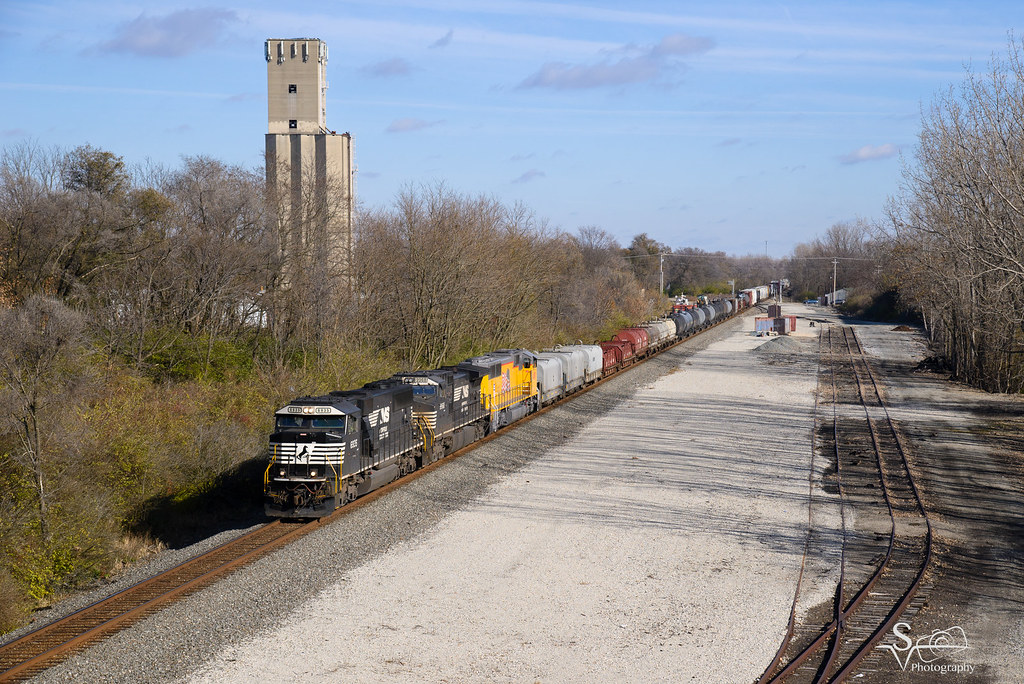
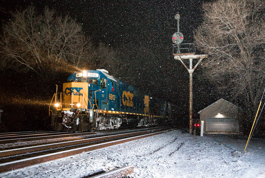
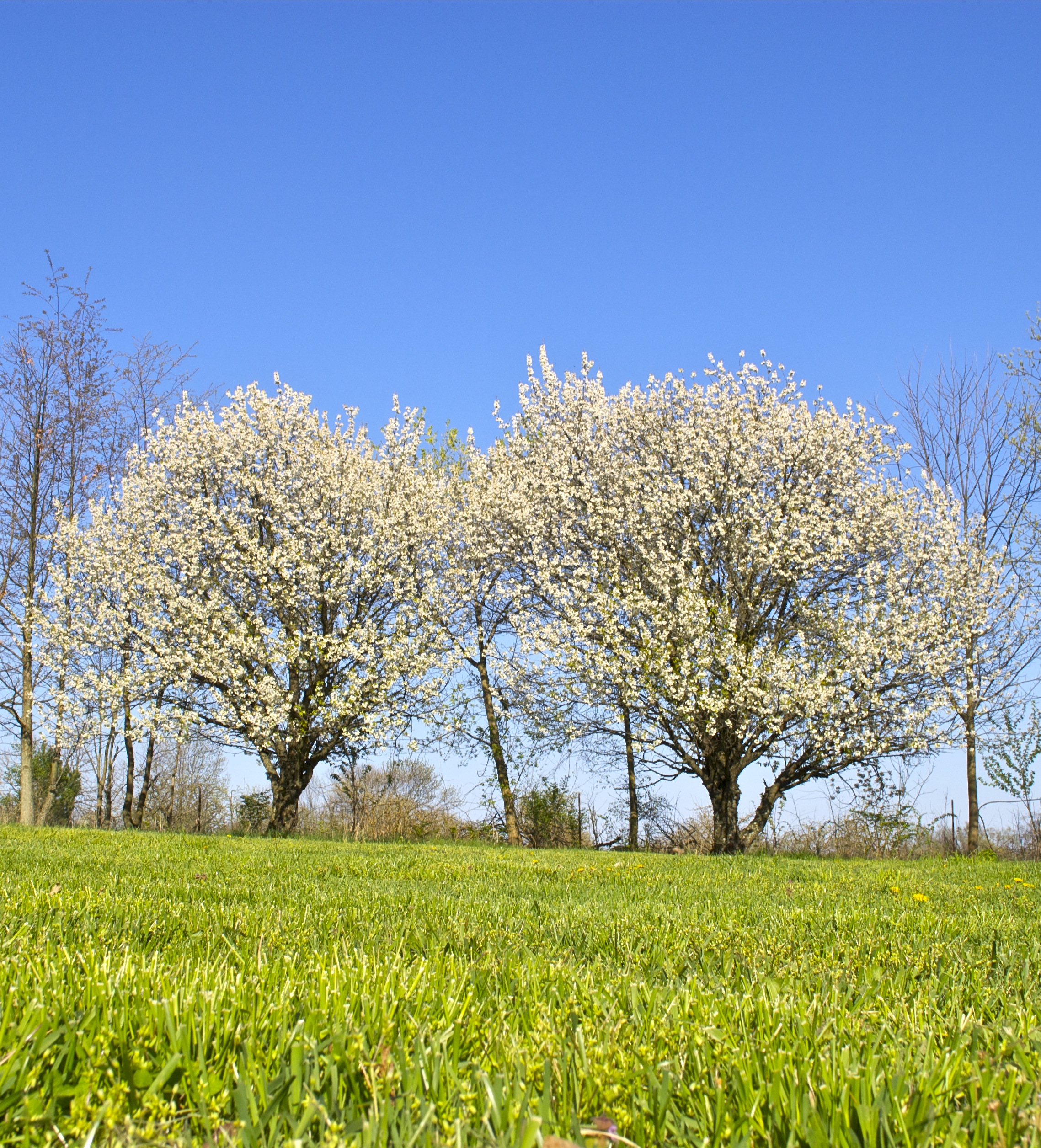
Related Photos:
What Once Was.

It Sleeps Next To Me Nightly

View from cockpit

A view from the cockpit of the Huey

View from Cockpit with C-5 in Background

Main Street View
Merry Christmas!

o star of bethlehem
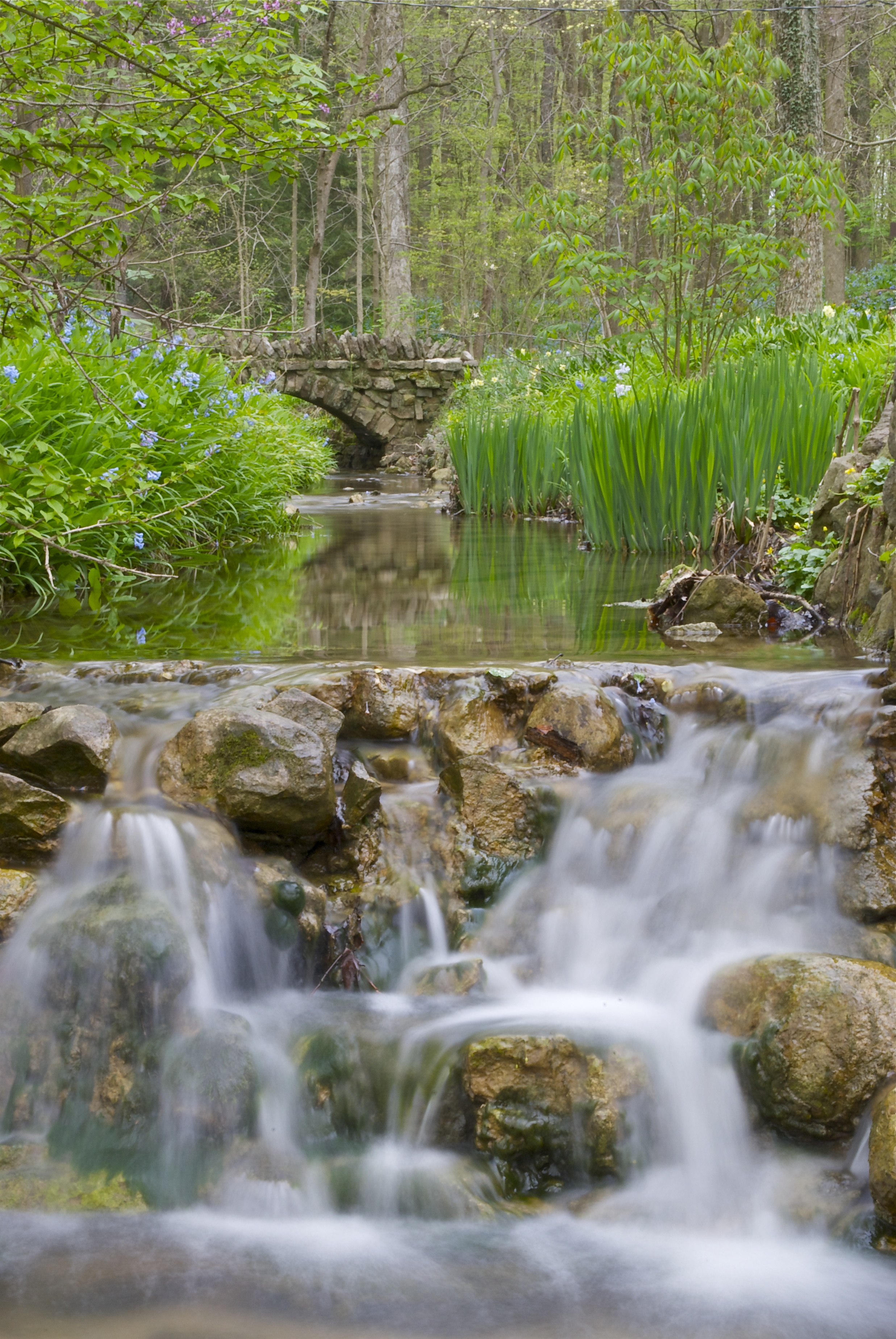
Spring Time Aulwood Stream

Flowering Tree

Last of Autumn #2
Earth Day 2013
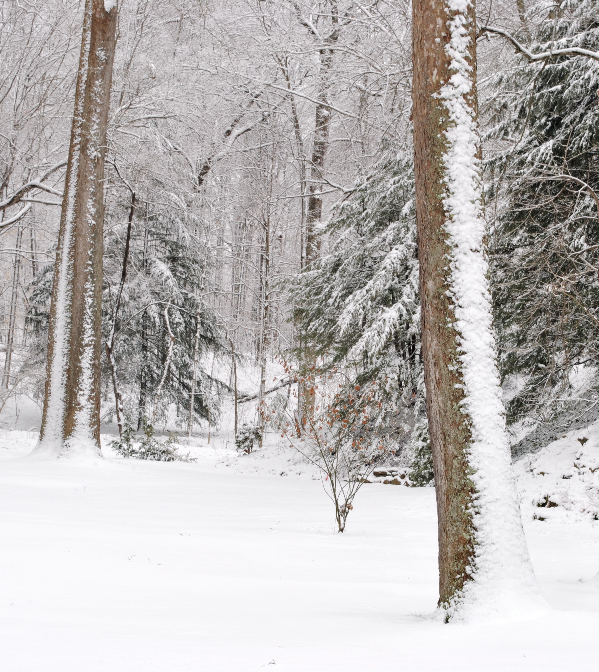
Winter Wonderland
Dayton Air Show 2010~174
Purple Trail

Early Evening at Aullwood Gardens

Ice Fishers at Eastwood MetroPark
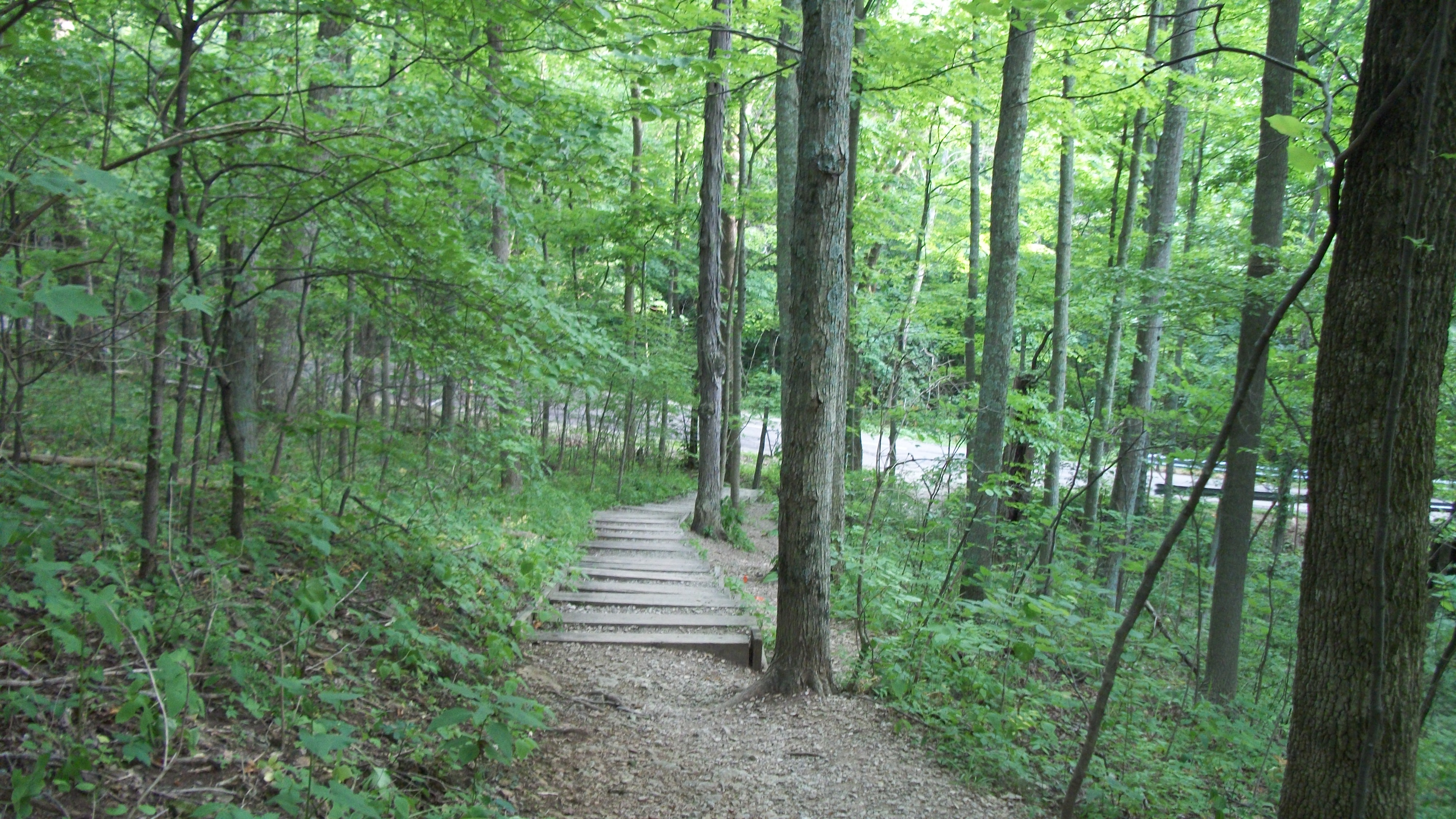
Purple Trail

self portrait
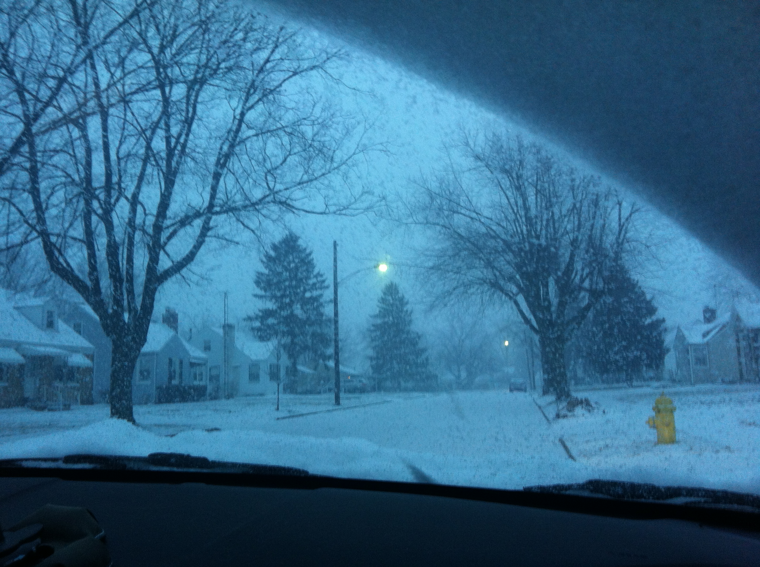
2013-01-25 snow IMG_0991 on our street in Vandalia
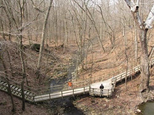
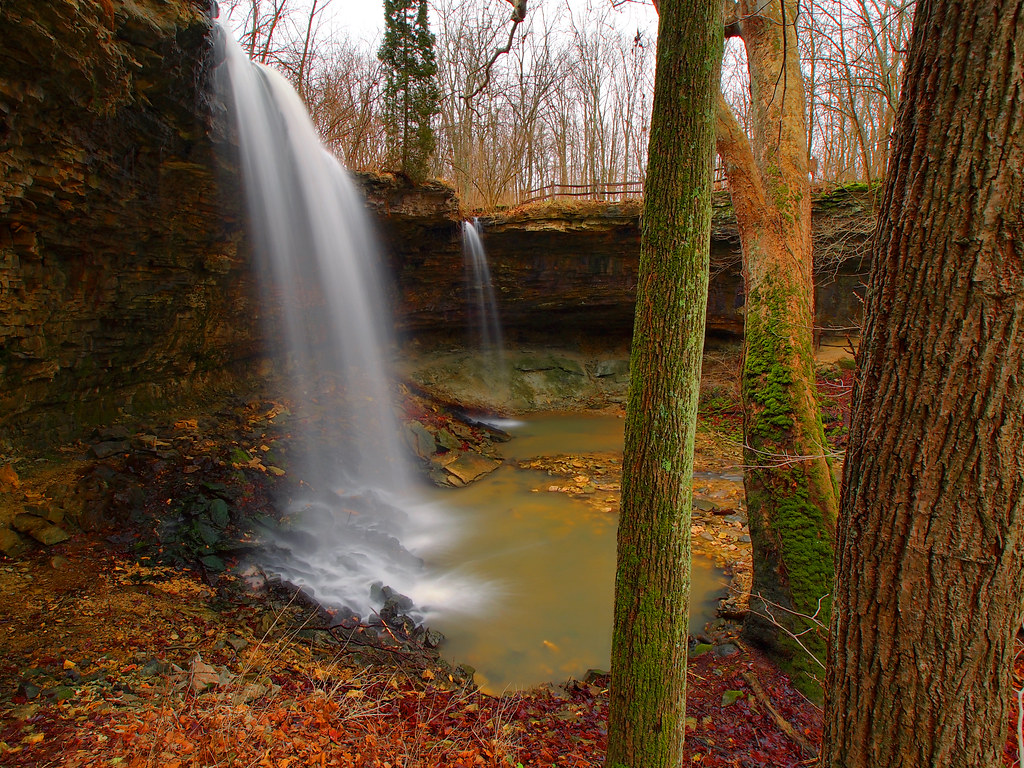
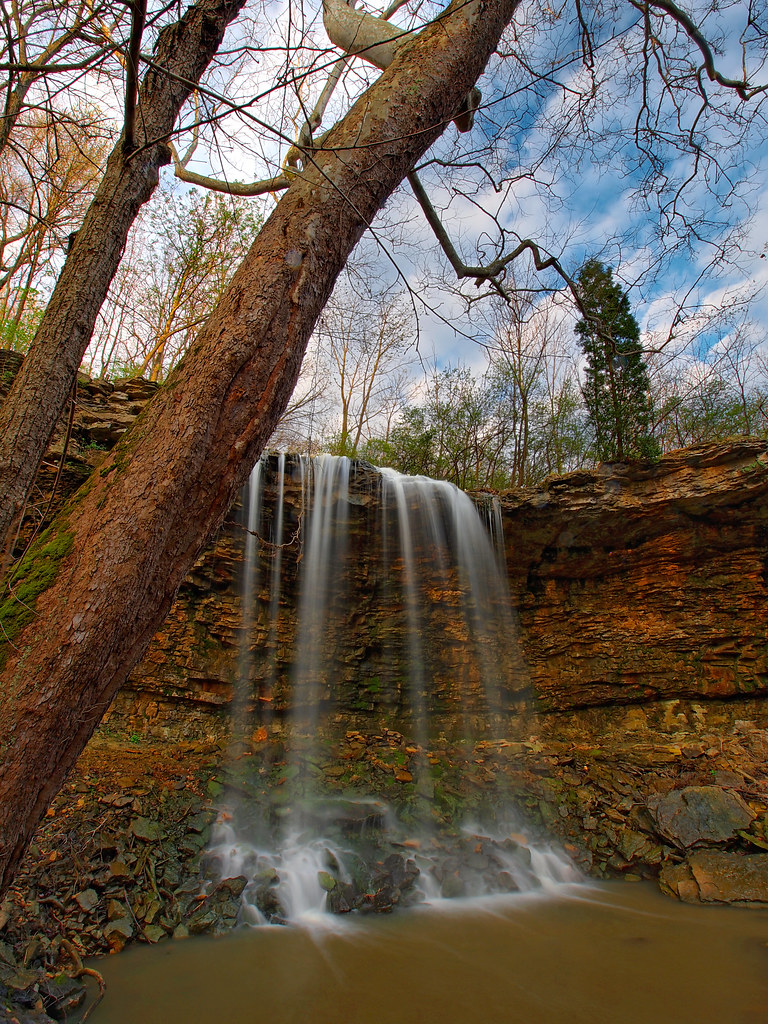
Charleston Falls, directly above the falls

Park4-2

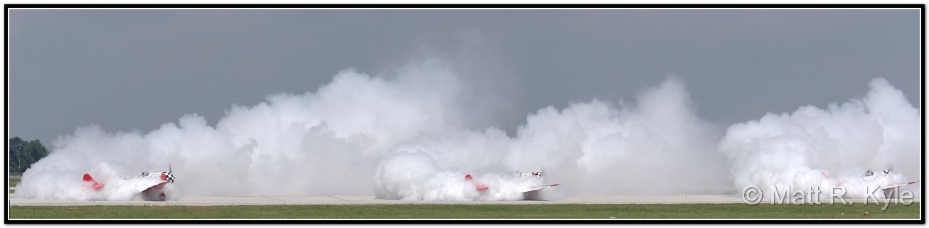
More Boom!
Two For One
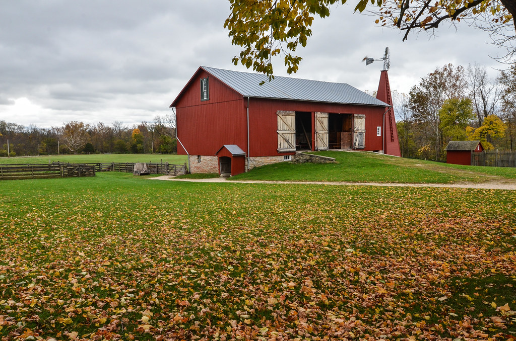
Carriage Hill Farm 2

Frosted Prairie
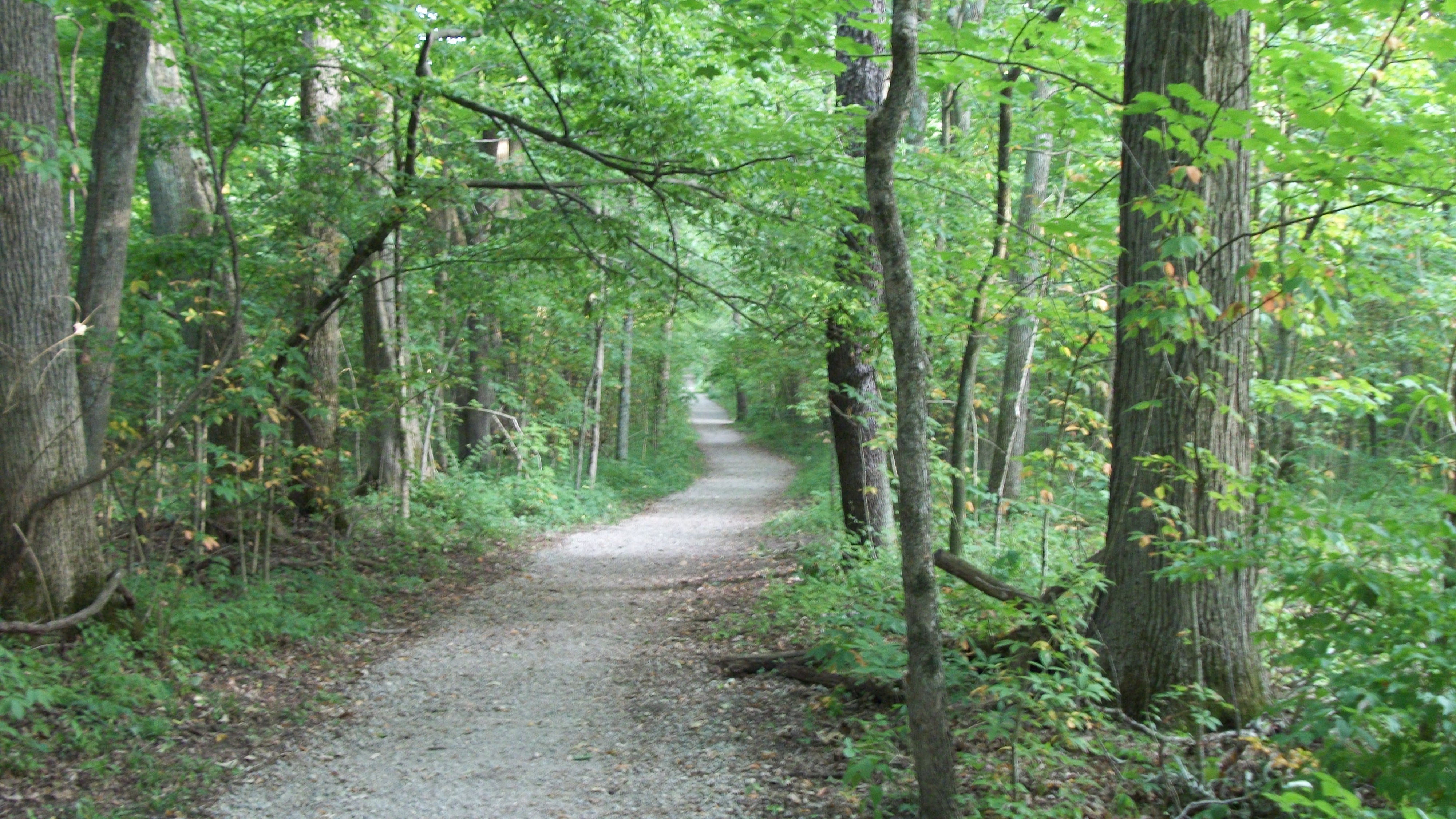
Purple Trail
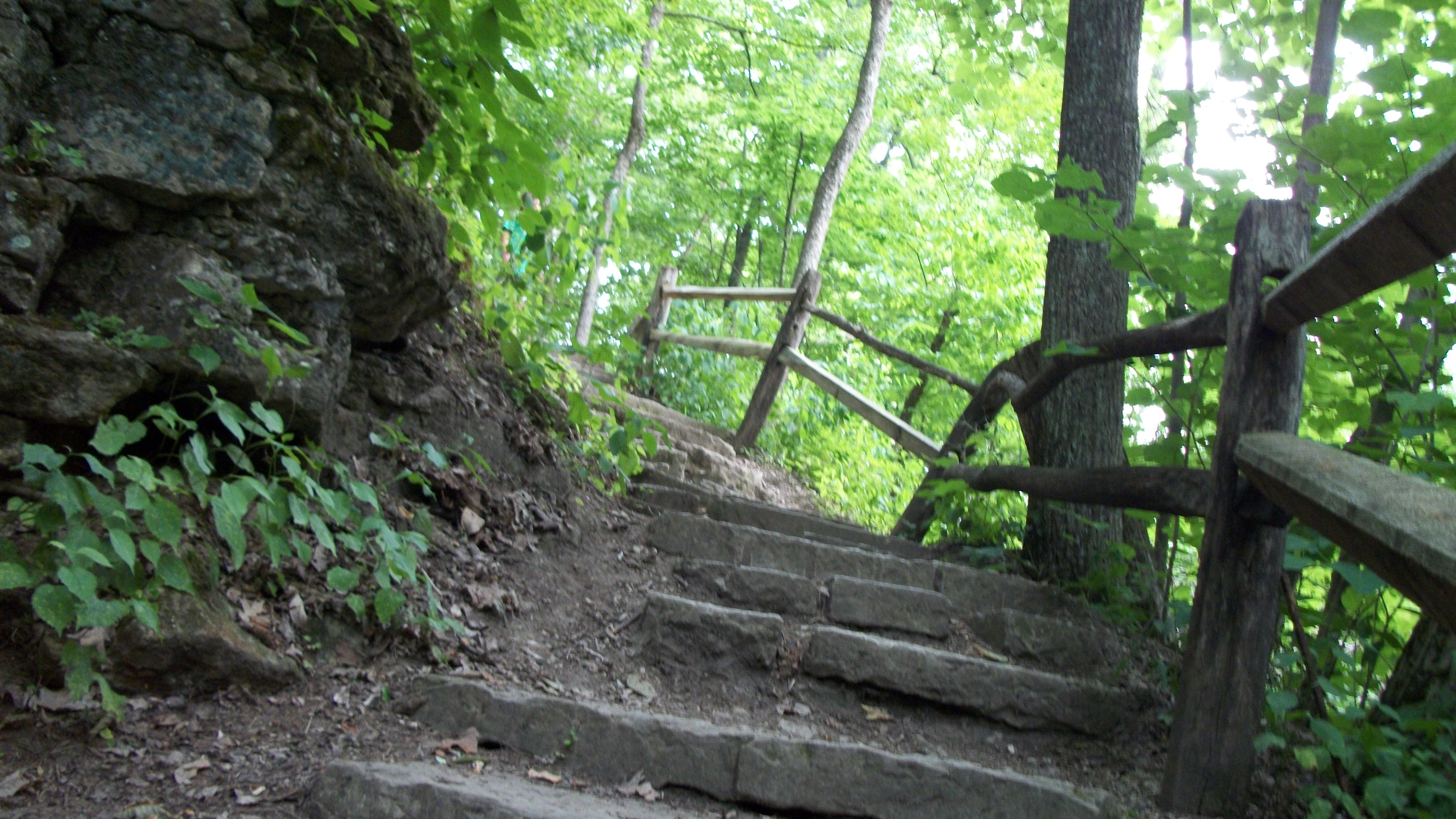
A Step Above

November sunset
Picture 107

Foggy Flock

Farmer 2

Ohio Bicentennial Barn
Picture 104

Aullwood Gardens 5-19-2012

Picture 099

Sunset Over the Pasture
Huffman Prairie: Lab of the Wright Brothers

Blue Tiny Horizon
Topographic Map of Tipp City, OH, USA
Find elevation by address:

Places near Tipp City, OH, USA:
OH-, Tipp City, OH, USA
4831 S Rudy Rd
4821 S Rudy Rd
7568 Oh-201
Bethel Township
745 Baneberry Ct
Tipp City
S 4th St, Tipp City, OH, USA
Applewood Dr, New Carlisle, OH, USA
Silverlake Estates
Monroe Township
New Carlisle
7805 Peters Rd
6400 Peters Rd
2320 S Co Rd 25a
3680 Oh-55
1 S Main St, West Milton, OH, USA
4319 E Casstown Clark Rd
Casstown
3 Troy Pike
Recent Searches:
- Elevation of Congressional Dr, Stevensville, MD, USA
- Elevation of Bellview Rd, McLean, VA, USA
- Elevation of Stage Island Rd, Chatham, MA, USA
- Elevation of Shibuya Scramble Crossing, 21 Udagawacho, Shibuya City, Tokyo -, Japan
- Elevation of Jadagoniai, Kaunas District Municipality, Lithuania
- Elevation of Pagonija rock, Kranto 7-oji g. 8"N, Kaunas, Lithuania
- Elevation of Co Rd 87, Jamestown, CO, USA
- Elevation of Tenjo, Cundinamarca, Colombia
- Elevation of Côte-des-Neiges, Montreal, QC H4A 3J6, Canada
- Elevation of Bobcat Dr, Helena, MT, USA