Elevation map of Tinsukia, Assam, India
Location: India > Assam >
Longitude: 95.6457951
Latitude: 27.529131
Elevation: 141m / 463feet
Barometric Pressure: 100KPa
Elevation Map:
Satellite Map:
Related Photos:

A lovely evening at Rupai Siding, Doomdooma

Take some time and be still. Else, you will blur into a mechanical existence. #sunset #photooftheday #landscape #colourperfection #nature #vscogrid #loaded_lenses #convexmedia #convexrevolution #natgeo #incredible_India #indiapictures #oyemystories #de
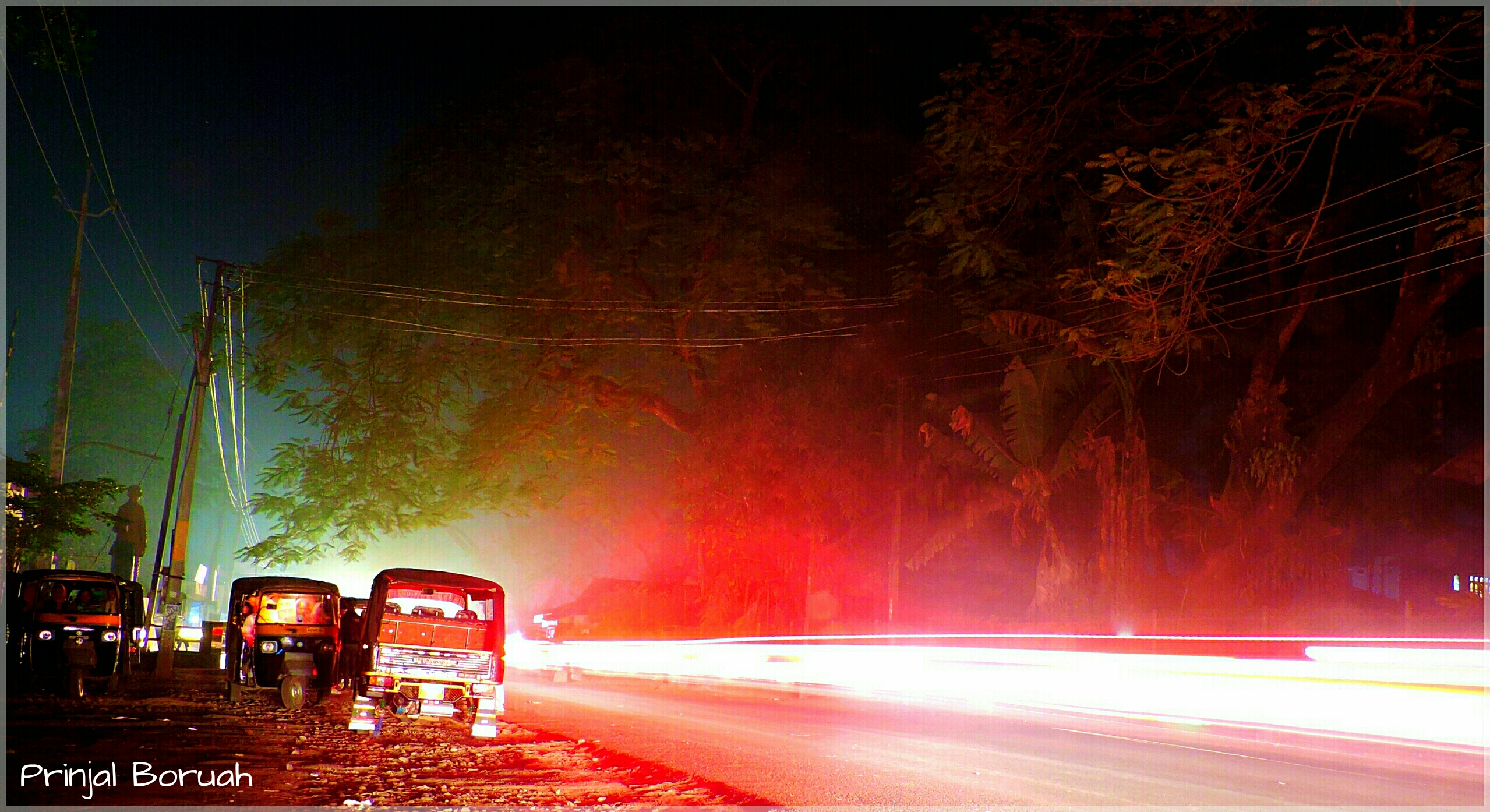
Doomdooma Rickshaw Stand at Night
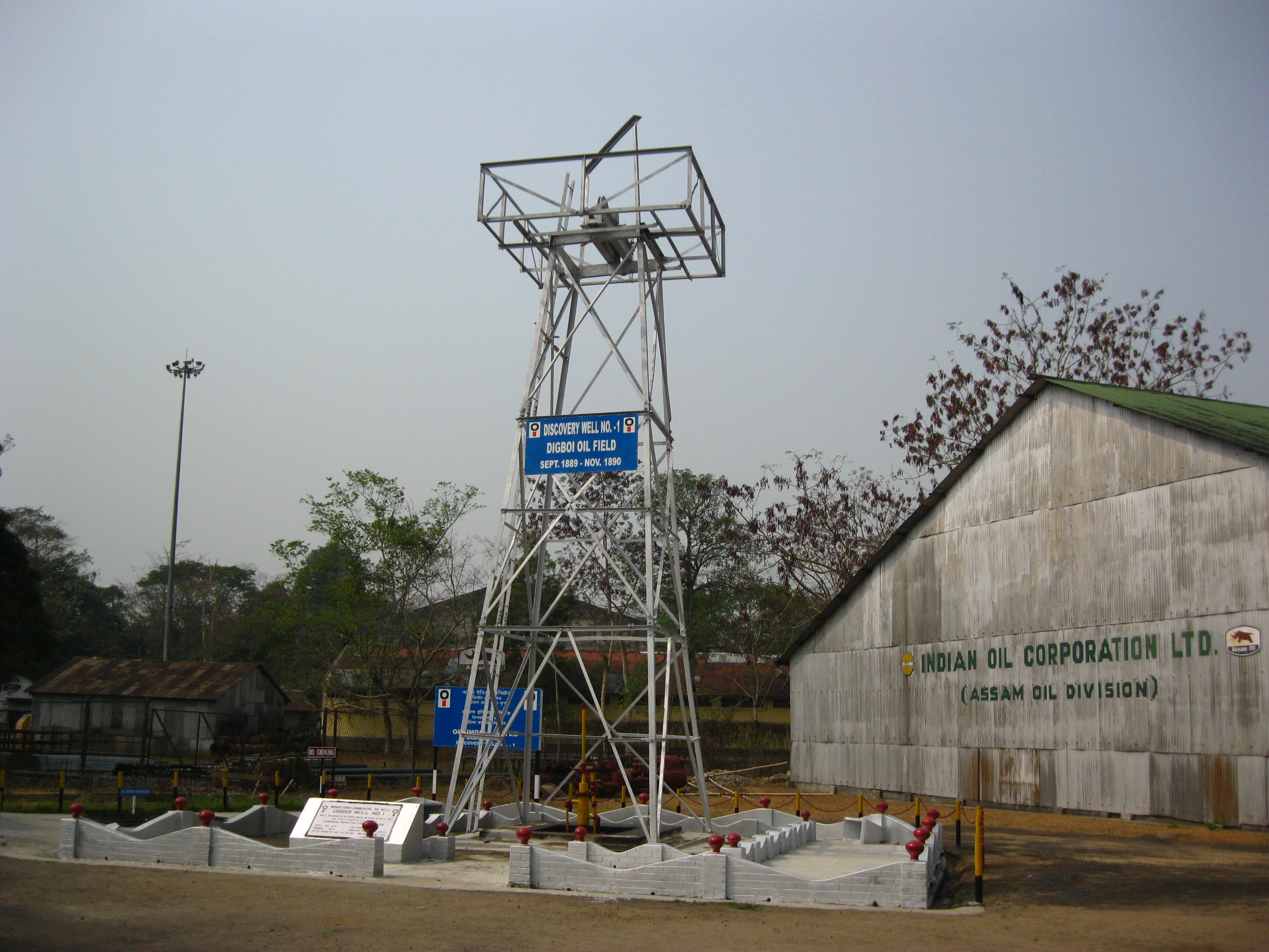
Well No. 1

Rockstar bikers
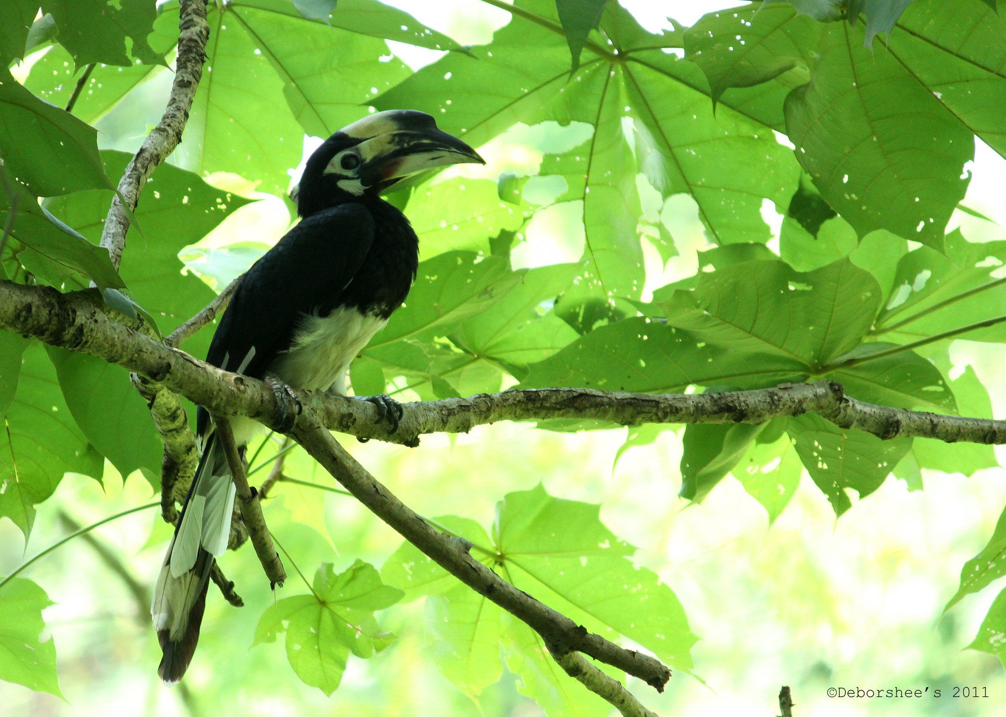
oriental pied hornbill
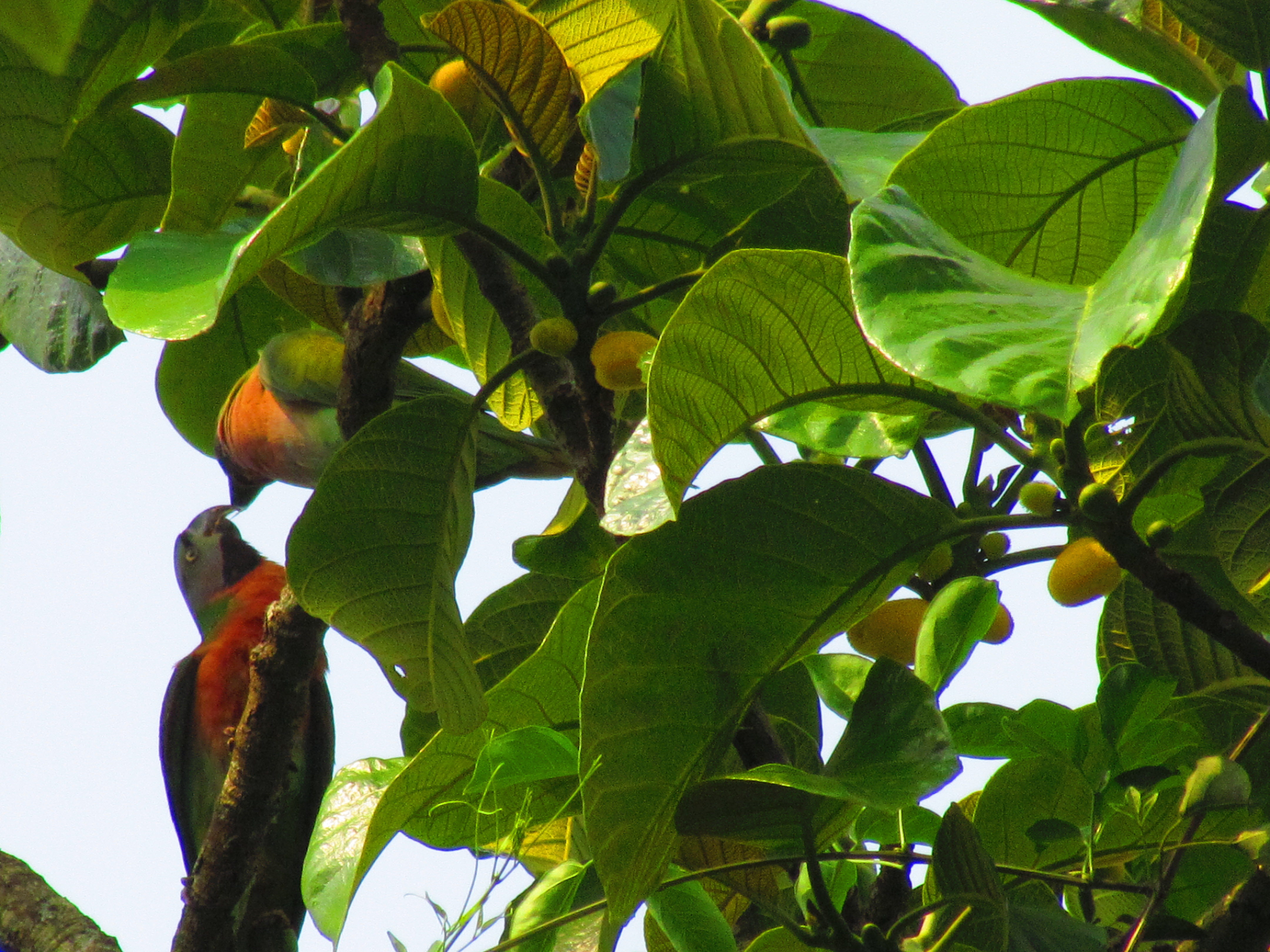
PARROTS AT DIGBOI ASSAM
Topographic Map of Tinsukia, Assam, India
Find elevation by address:

Places in Tinsukia, Assam, India:
Places near Tinsukia, Assam, India:
Recent Searches:
- Elevation of Pykes Down, Ivybridge PL21 0BY, UK
- Elevation of Jalan Senandin, Lutong, Miri, Sarawak, Malaysia
- Elevation of Bilohirs'k
- Elevation of 30 Oak Lawn Dr, Barkhamsted, CT, USA
- Elevation of Luther Road, Luther Rd, Auburn, CA, USA
- Elevation of Unnamed Road, Respublika Severnaya Osetiya — Alaniya, Russia
- Elevation of Verkhny Fiagdon, North Ossetia–Alania Republic, Russia
- Elevation of F. Viola Hiway, San Rafael, Bulacan, Philippines
- Elevation of Herbage Dr, Gulfport, MS, USA
- Elevation of Lilac Cir, Haldimand, ON N3W 2G9, Canada