Elevation of Tinmouth, VT, USA
Location: United States > Vermont > Rutland County >
Longitude: -73.049550
Latitude: 43.448682
Elevation: 380m / 1247feet
Barometric Pressure: 97KPa
Elevation Map:
Satellite Map:
Related Photos:
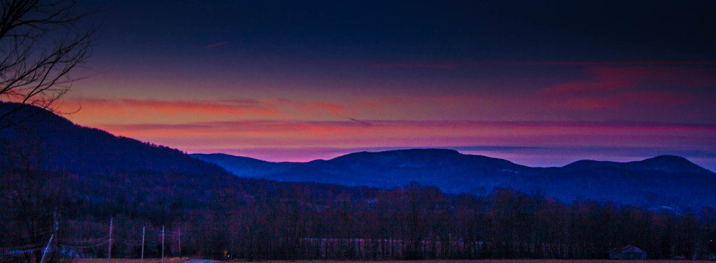
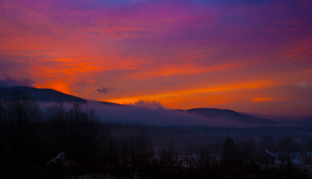
Pink Sunrise
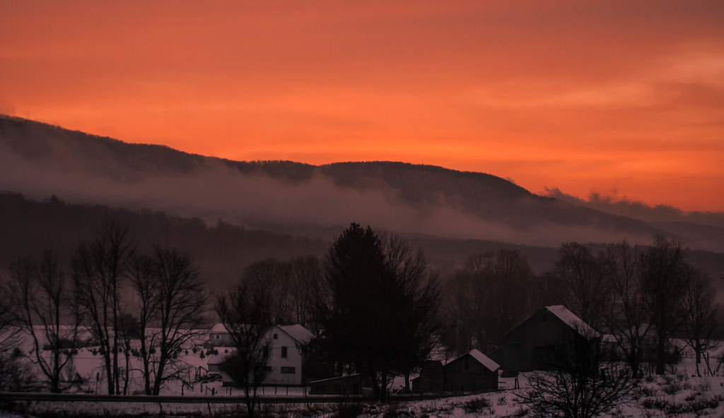
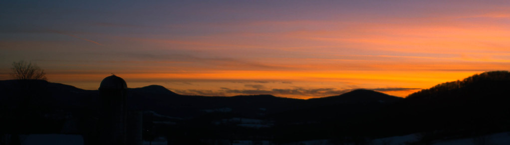
Pawlet Sunrise
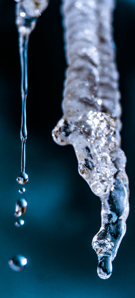
Ice Droplets
Pawlet Sunrise
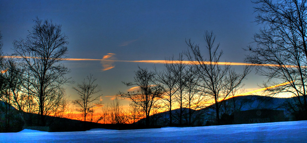
Sunset Glow
A Little bit of color

Through the Branches

After The Storm

Over The Lake
By The River

Sunrise Over the mountain

Starry night
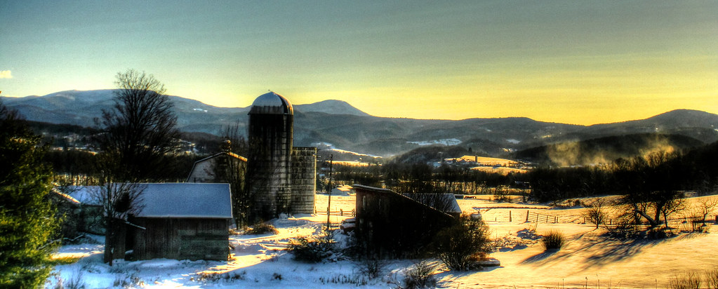
Barn at Sunrise
Misty Sunrise

10/22/12 sunset III

Before sunset

On Fire
Winter Light

Winter Shadows
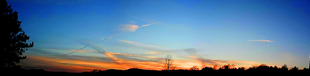
Strips of colors
Sunset Panorama
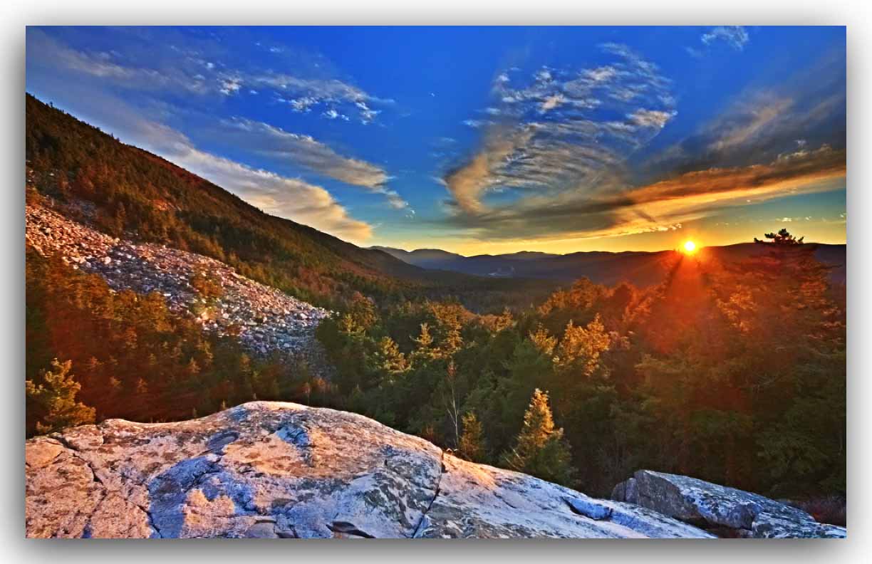
White Rocks Sunset - HDR

White Rocks Overlook
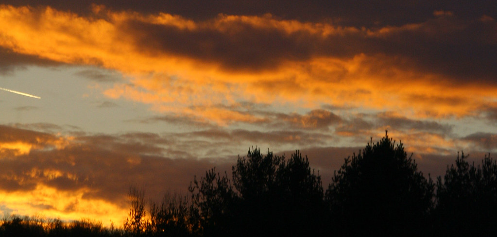
10/22/12 sunset II

Orange sunset (Explored)
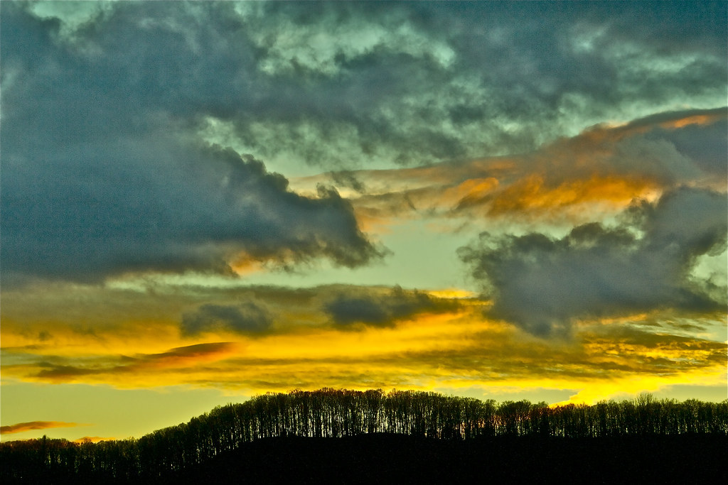
Orange and blue (explored)
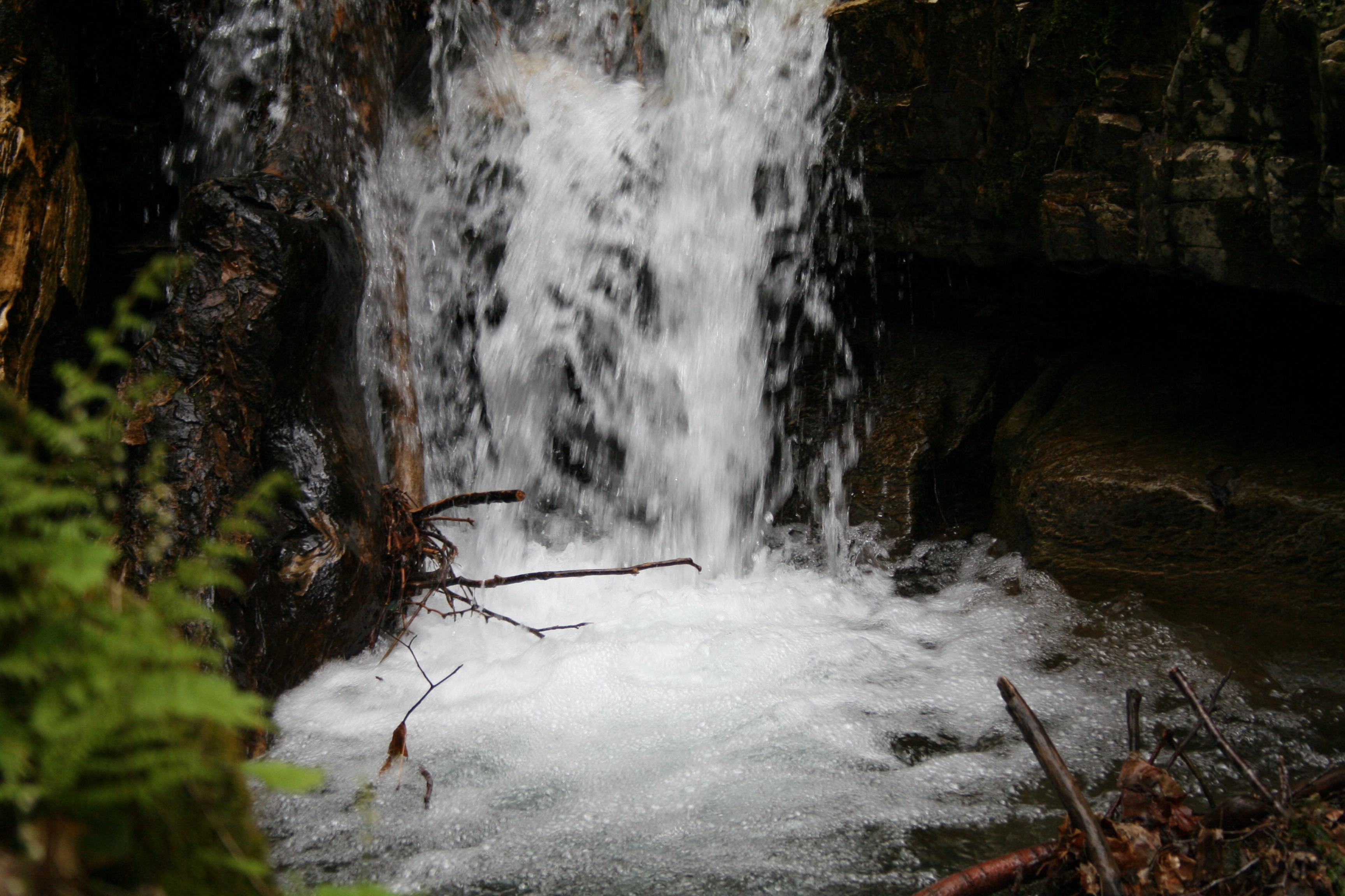
The Waterfall

Barn at sunset(Explored)
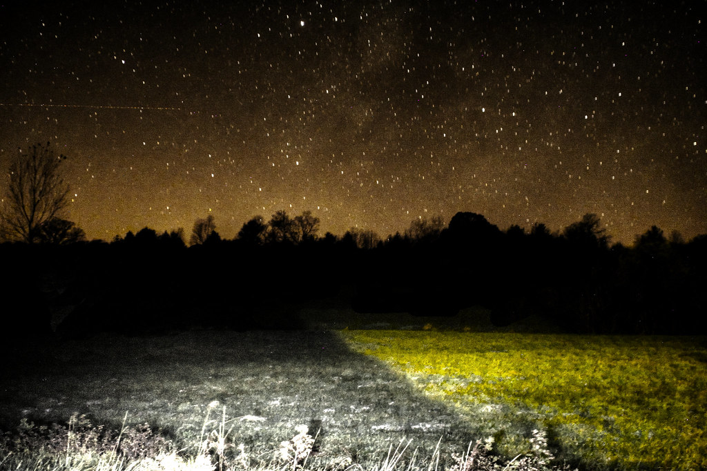
Night Sky
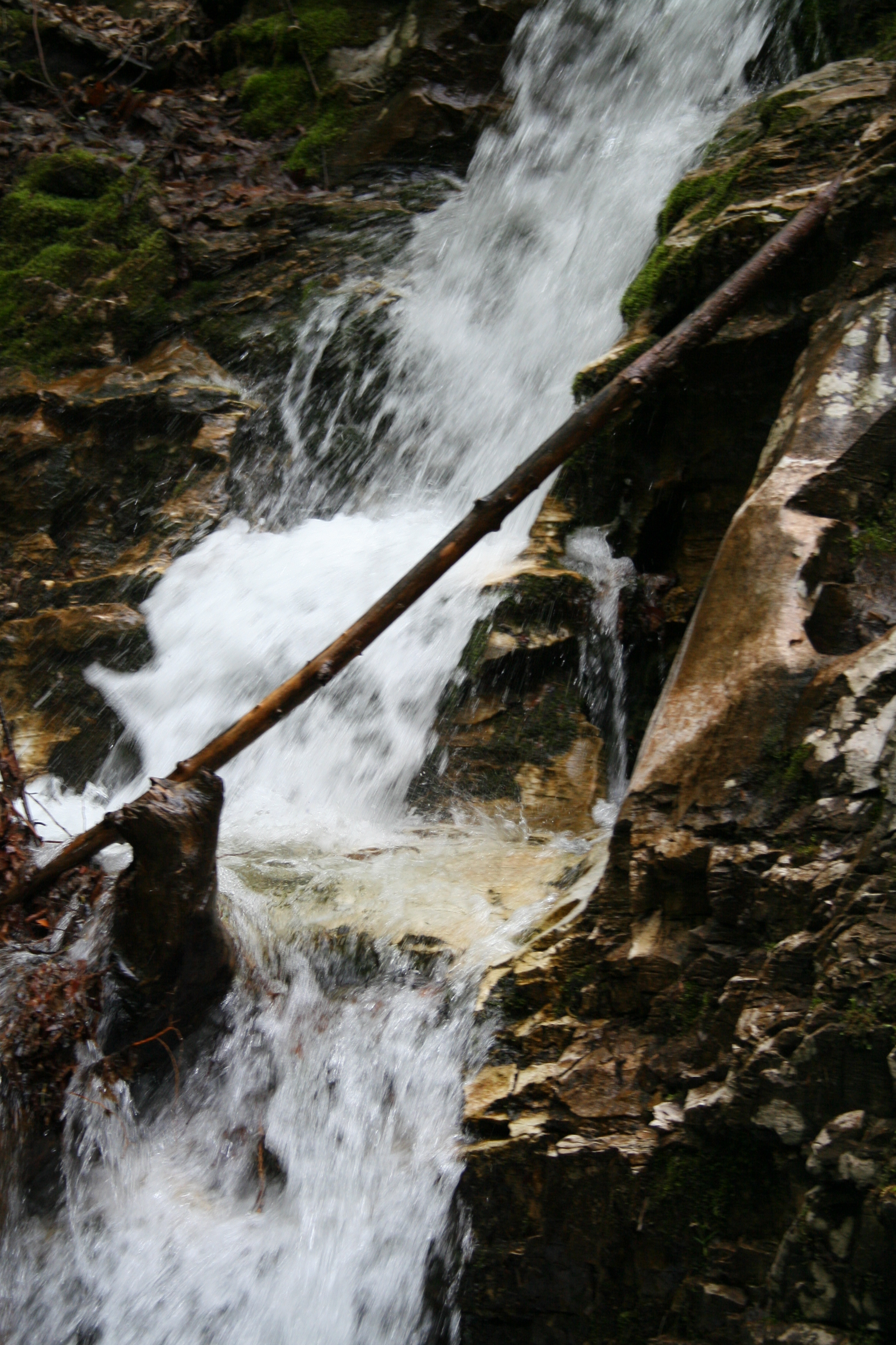
The Waterfall
Topographic Map of Tinmouth, VT, USA
Find elevation by address:

Places near Tinmouth, VT, USA:
857 W Hill Rd
130 Dudley Rd
4 Irish Ln
119 Mc Garron Rd
Green Hill Cemetery
25 River St
Wallingford
Wallingford
Middletown Springs
North End Drive
49 Hammond Ln
3928 Walker Mountain Rd
300 North St
338 Scotts Rd
Sugar Hill Road
401 Innovation Drive
Boardman Hill
Rutland Southern Vermont Regional Airport
Clarendon
Airport Rd, North Clarendon, VT, USA
Recent Searches:
- Elevation of Rojo Ct, Atascadero, CA, USA
- Elevation of Flagstaff Drive, Flagstaff Dr, North Carolina, USA
- Elevation of Avery Ln, Lakeland, FL, USA
- Elevation of Woolwine, VA, USA
- Elevation of Lumagwas Diversified Farmers Multi-Purpose Cooperative, Lumagwas, Adtuyon, RV32+MH7, Pangantucan, Bukidnon, Philippines
- Elevation of Homestead Ridge, New Braunfels, TX, USA
- Elevation of Orchard Road, Orchard Rd, Marlborough, NY, USA
- Elevation of 12 Hutchinson Woods Dr, Fletcher, NC, USA
- Elevation of Holloway Ave, San Francisco, CA, USA
- Elevation of Norfolk, NY, USA