Elevation of Tinian, CNMI
Location: Northern Mariana Islands >
Longitude: 145.635657
Latitude: 15.0043455
Elevation: 74m / 243feet
Barometric Pressure: 100KPa
Elevation Map:
Satellite Map:
Related Photos:

KD's World Tour - House of Taga
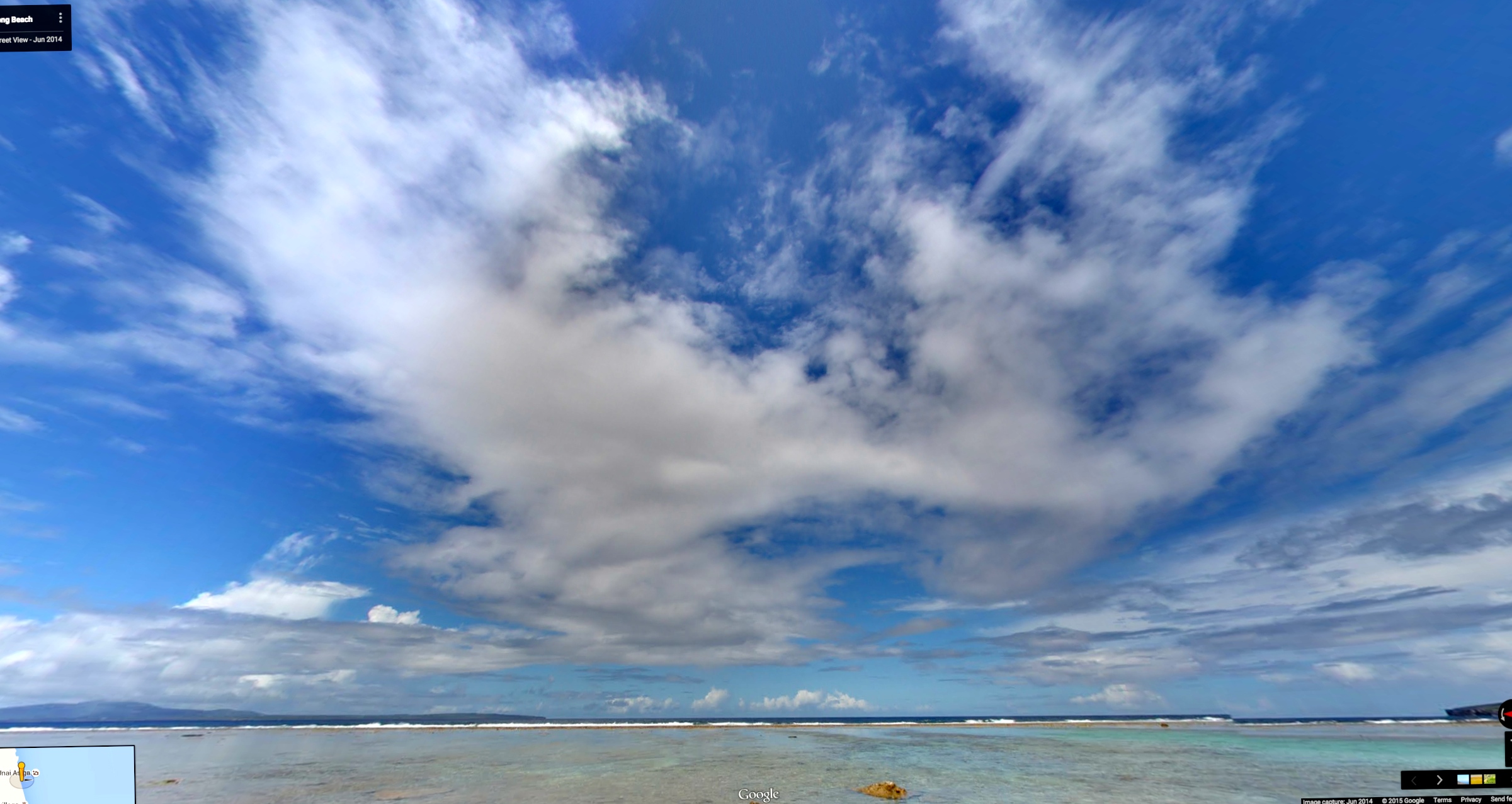
KD's World Tour - Tinian

KD's World Tour - Tinian
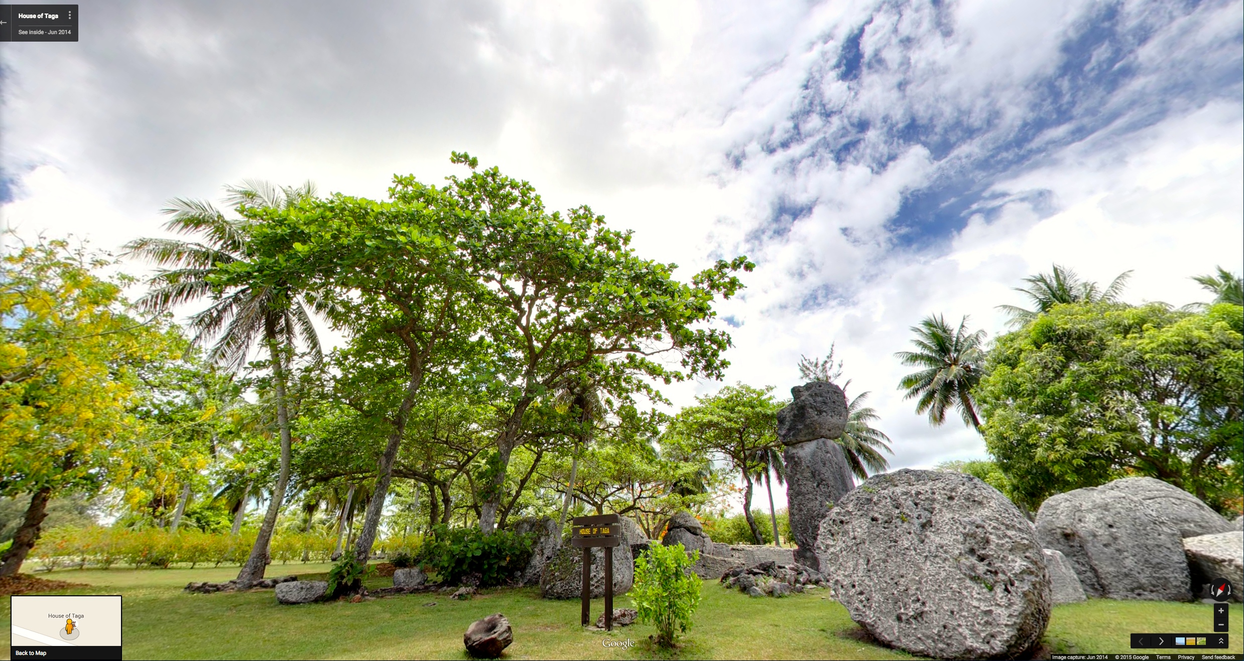
KD's World Tour - House of Taga
KD's World Tour - Tinian
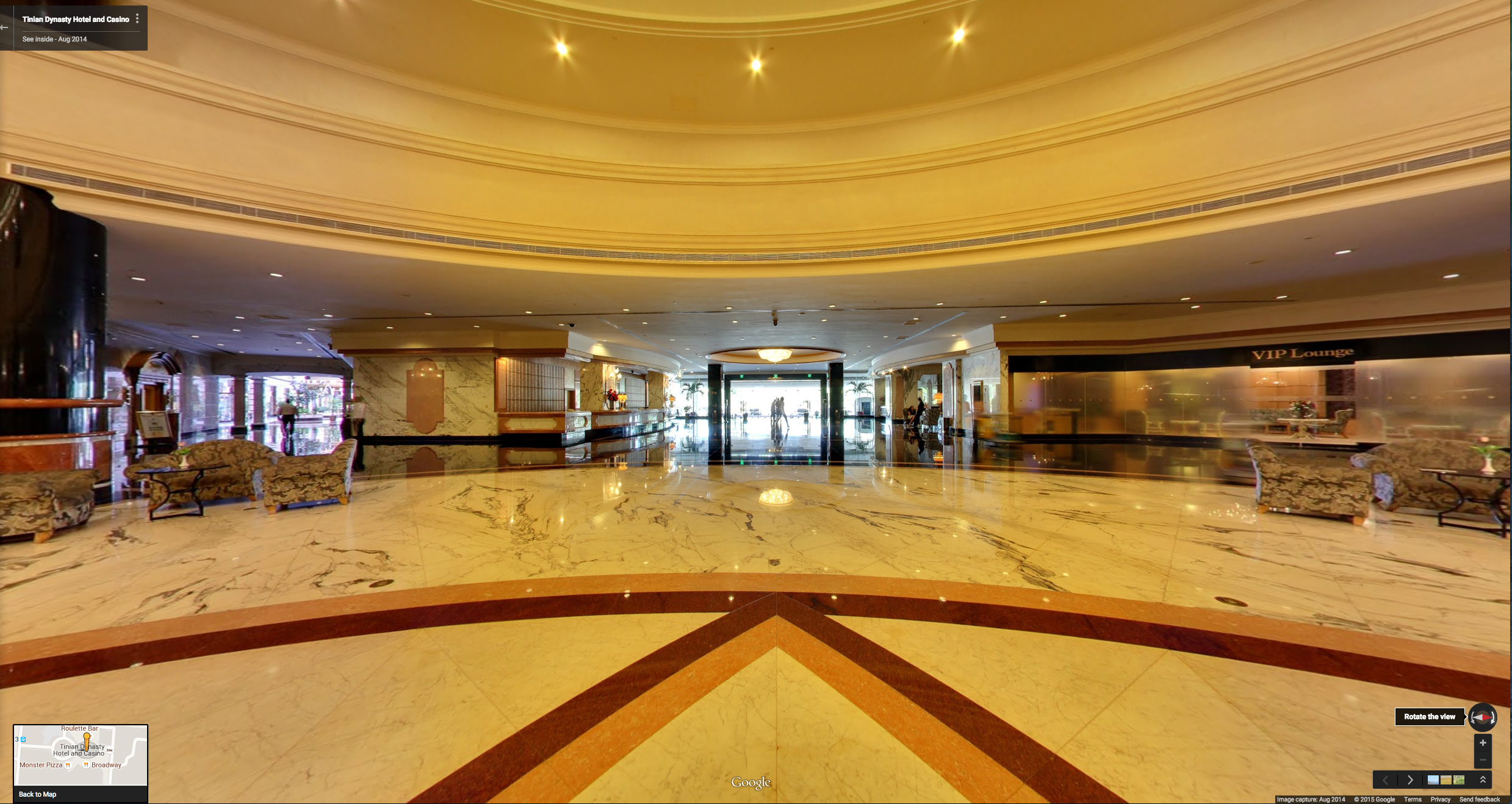
KD's World Tour - Tinian Dynasty Hotel and Casino
KD's World Tour - Doorway to Heaven

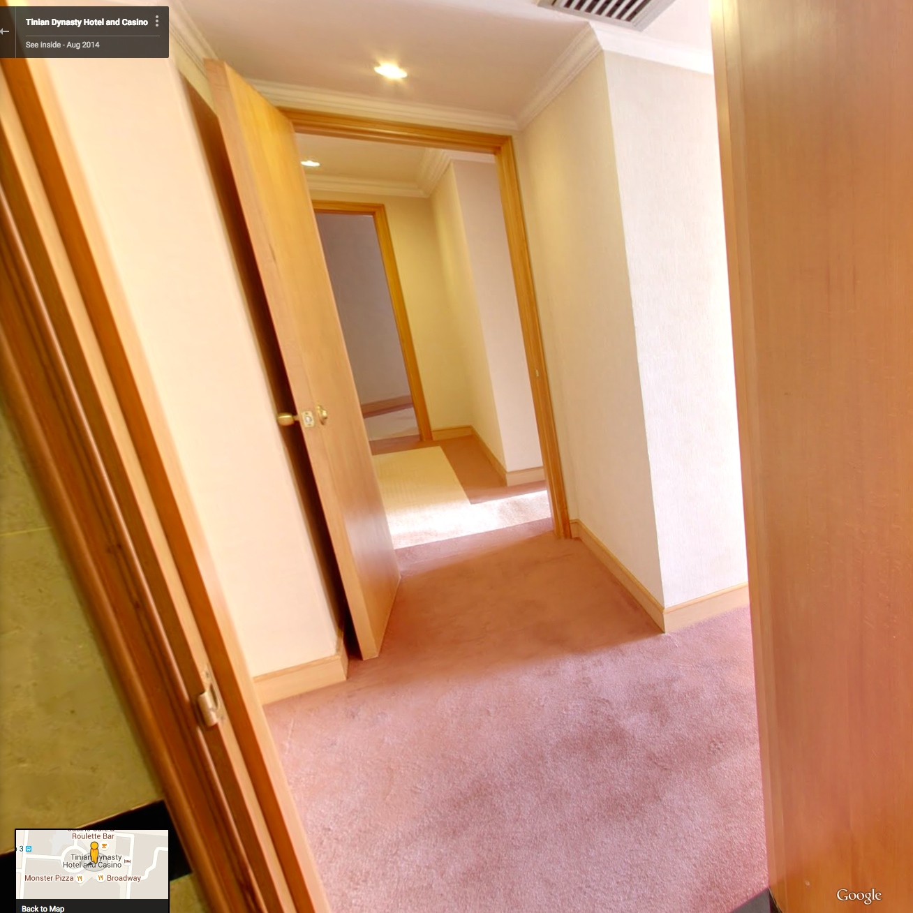
KD's World Tour - Tinian Dynasty Hotel and Casino

KD's World Tour - Tinian Dynasty Hotel and Casino

KD's World Tour - Tinian Dynasty Hotel and Casino

KD's World Tour - Tinian Dynasty Hotel and Casino

KD's World Tour - Tinian Dynasty Hotel and Casino

Saipan Rainbow, viewed from Tinian
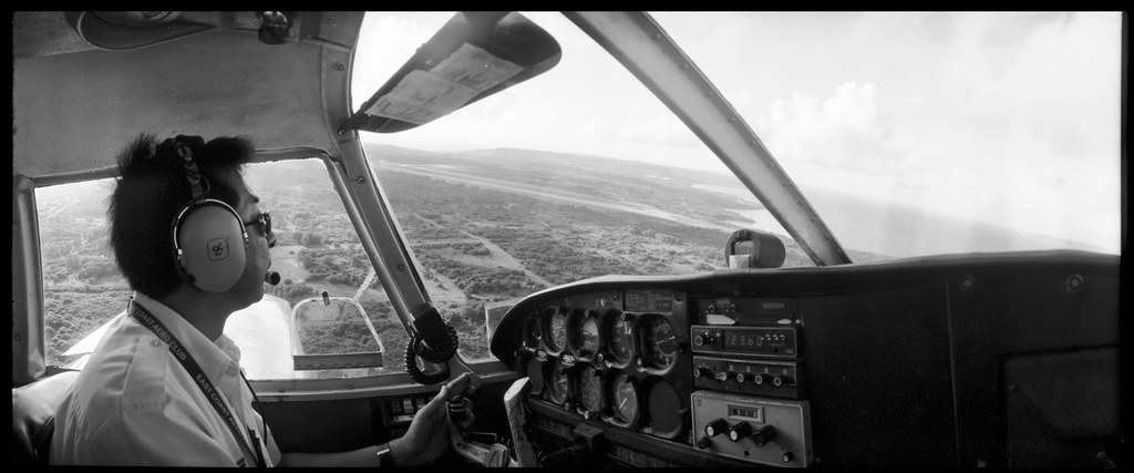
Jun Shimada (Freedom Air) on aproach to Tinian
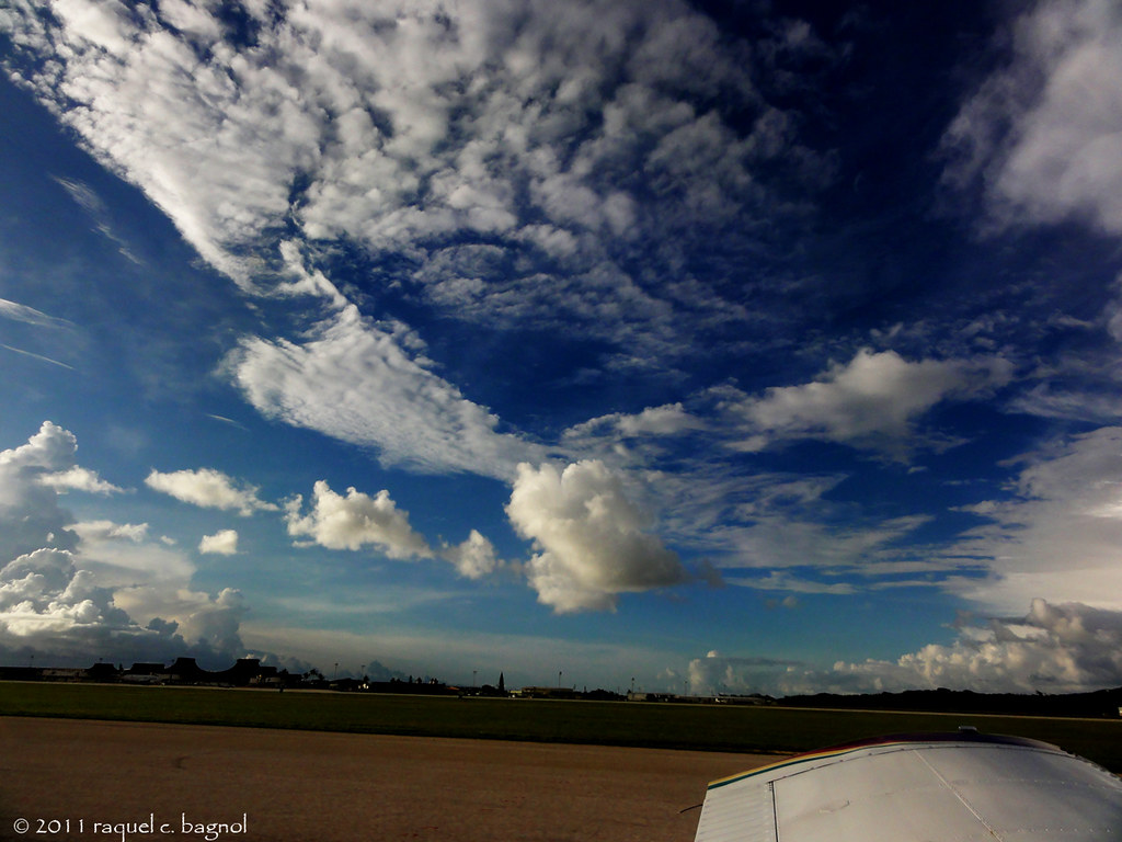
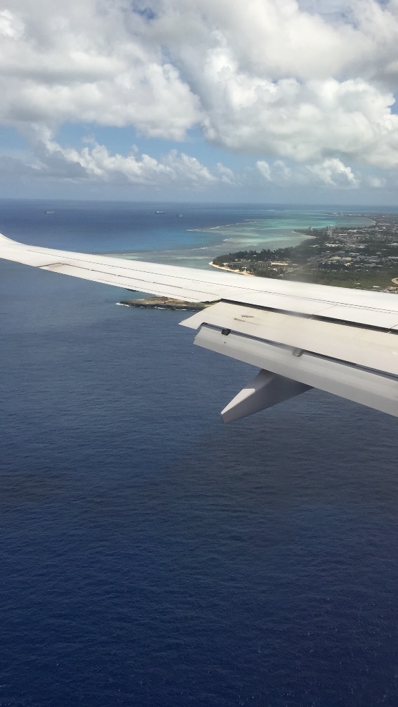
wing tip and clouds

Tinian North Field Aerial View

Tinian Tyre Traders
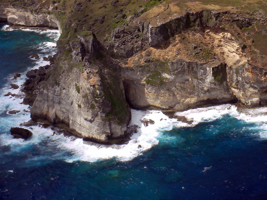
View from Suicide Cliff Tinian
Tinian island
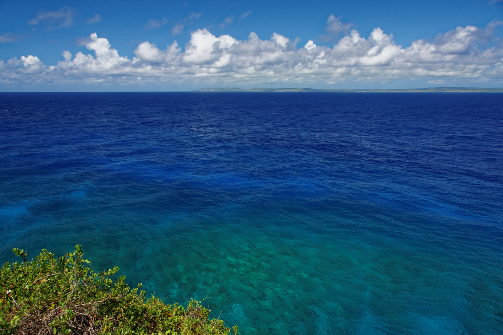
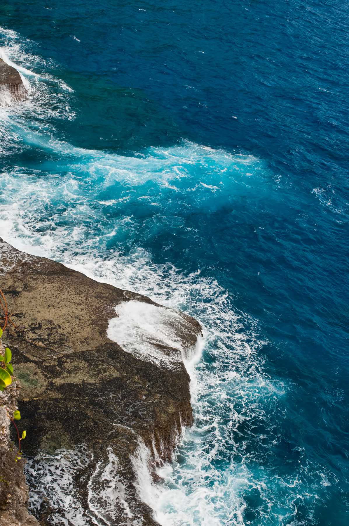
Blue Ocean
Tinian Island
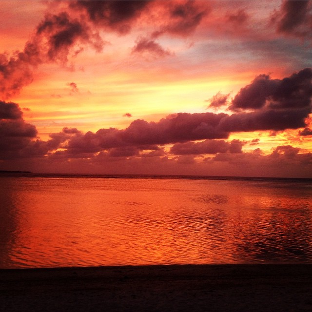
The sunset at PIC today was unreal. #sunset #beach #ocean #saipan #cnmi #marianas

OBYAN BEACH

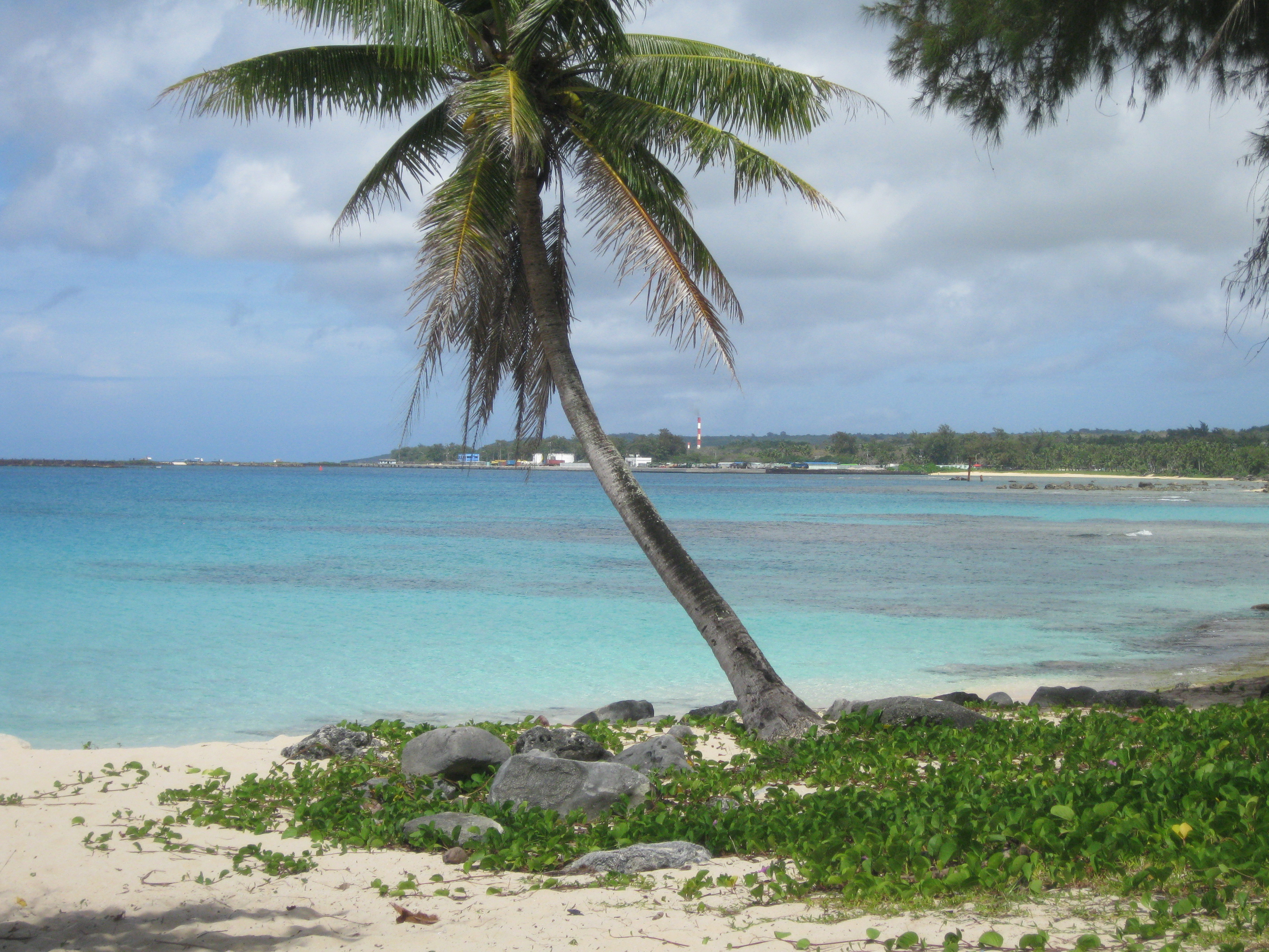
San Antonio Beach

White Beach Comparison, Tinian

NKK Shrine Remains, Tinian Island
flying to Guam to Saipan (35)
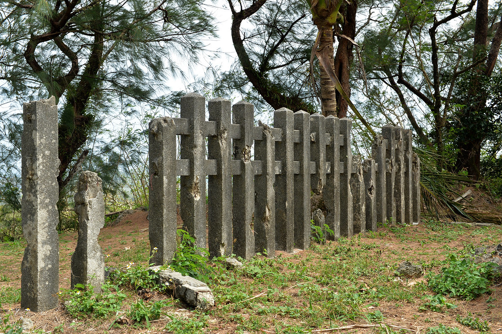
Mt. Lasso Shinto rear fence
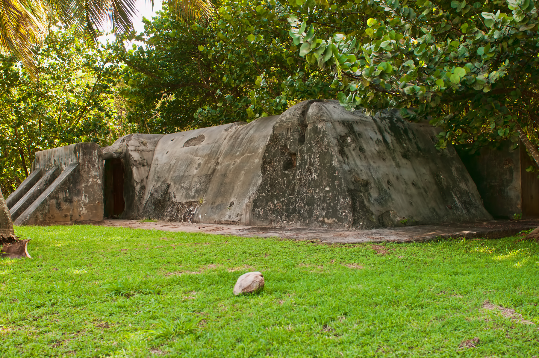
Japanese Air Raid Shelter Ushi Field
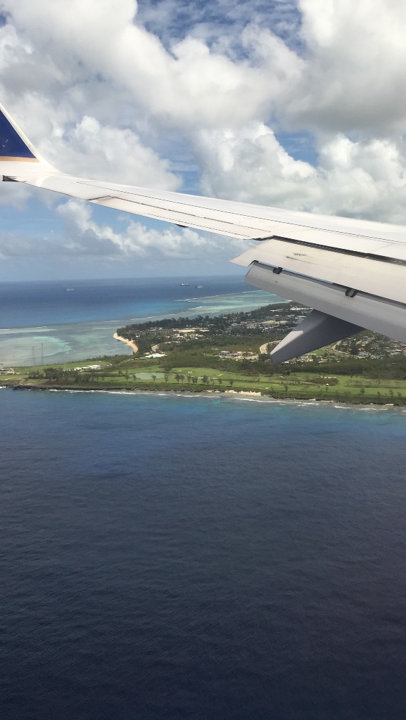
flying to Guam to Saipan (37)

flying to Guam to Saipan (39)
Topographic Map of Tinian, CNMI
Find elevation by address:

Places near Tinian, CNMI:
Recent Searches:
- Elevation of Felindre, Swansea SA5 7LU, UK
- Elevation of Leyte Industrial Development Estate, Isabel, Leyte, Philippines
- Elevation of W Granada St, Tampa, FL, USA
- Elevation of Pykes Down, Ivybridge PL21 0BY, UK
- Elevation of Jalan Senandin, Lutong, Miri, Sarawak, Malaysia
- Elevation of Bilohirs'k
- Elevation of 30 Oak Lawn Dr, Barkhamsted, CT, USA
- Elevation of Luther Road, Luther Rd, Auburn, CA, USA
- Elevation of Unnamed Road, Respublika Severnaya Osetiya — Alaniya, Russia
- Elevation of Verkhny Fiagdon, North Ossetia–Alania Republic, Russia