Elevation map of Timiskaming District, ON, Canada
Location: Canada > Ontario >
Longitude: -80.319490
Latitude: 47.8308027
Elevation: 298m / 978feet
Barometric Pressure: 98KPa
Elevation Map:
Satellite Map:
Related Photos:
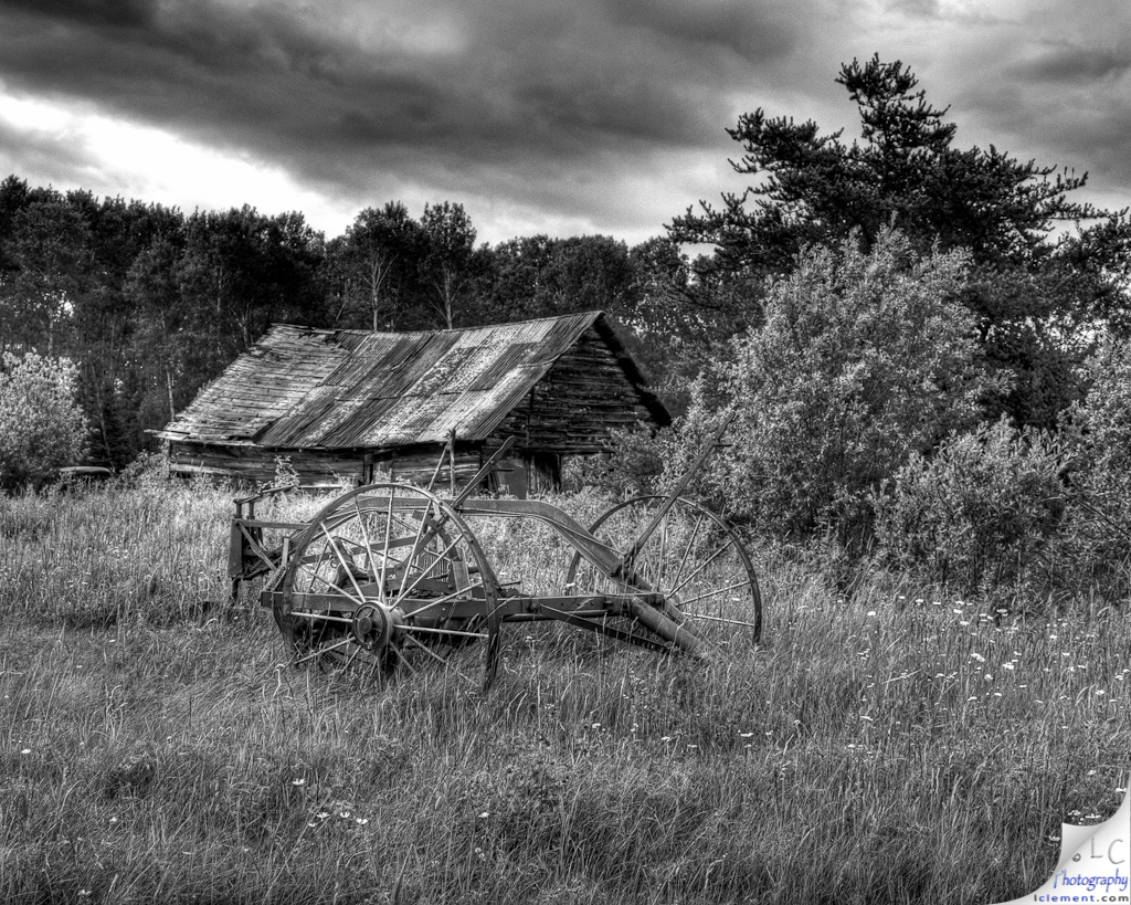
Old Barn
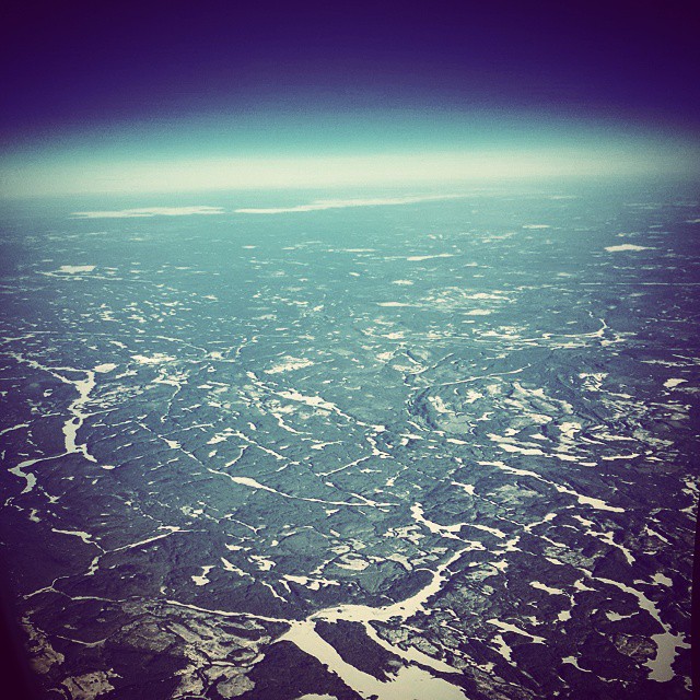
Oh, Canada...
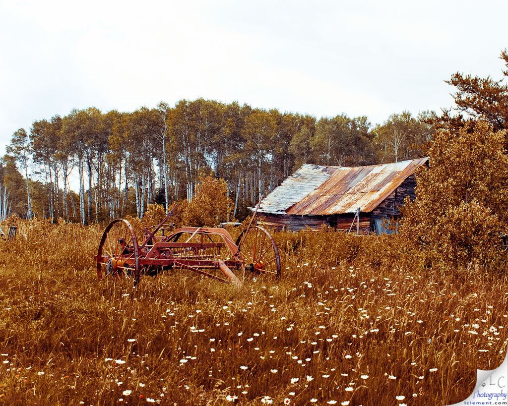
Old Barn - v2

Morning on the Montreal River

Camp Trails
Topographic Map of Timiskaming District, ON, Canada
Find elevation by address:

Places in Timiskaming District, ON, Canada:
Kirkland Lake
Matachewan
Chamberlain
Temiskaming Shores
Timiskaming, Unorganized, West Part
Dymond
Englehart
Larder Lake
P0k 1x0
P0j 1b0
Thornloe
Gowganda
Cobalt
Coleman
Places near Timiskaming District, ON, Canada:
P0k 1m0
Matachewan
Bernard St, Matachewan, ON P0K 1M0, Canada
P0k 1s0
Sesekinika
Arctic Watershed
Matachewan
P0k 1r0
Holtyre
Black River-matheson
Matheson
Moffat Rd, Iroquois Falls, ON P0K 1G0, Canada
335 On-67
P0n 1h0
Iroquois Falls
Wings Rd, Iroquois Falls, ON P0K 1G0, Canada
Conley St S, Porcupine, ON P0N 1C0, Canada
Porcupine
Dunn Ave, South Porcupine, ON P0N 1H0, Canada
128 Renison Ave
Recent Searches:
- Elevation of Corso Fratelli Cairoli, 35, Macerata MC, Italy
- Elevation of Tallevast Rd, Sarasota, FL, USA
- Elevation of 4th St E, Sonoma, CA, USA
- Elevation of Black Hollow Rd, Pennsdale, PA, USA
- Elevation of Oakland Ave, Williamsport, PA, USA
- Elevation of Pedrógão Grande, Portugal
- Elevation of Klee Dr, Martinsburg, WV, USA
- Elevation of Via Roma, Pieranica CR, Italy
- Elevation of Tavkvetili Mountain, Georgia
- Elevation of Hartfords Bluff Cir, Mt Pleasant, SC, USA