Elevation of Timergara, Lower Dir, Khyber Pakhtunkhwa, Pakistan
Location: Pakistan > Khyber Pakhtunkhwa > Lower Dir >
Longitude: 71.9045649
Latitude: 34.7598836
Elevation: 1137m / 3730feet
Barometric Pressure: 88KPa
Elevation Map:
Satellite Map:
Related Photos:
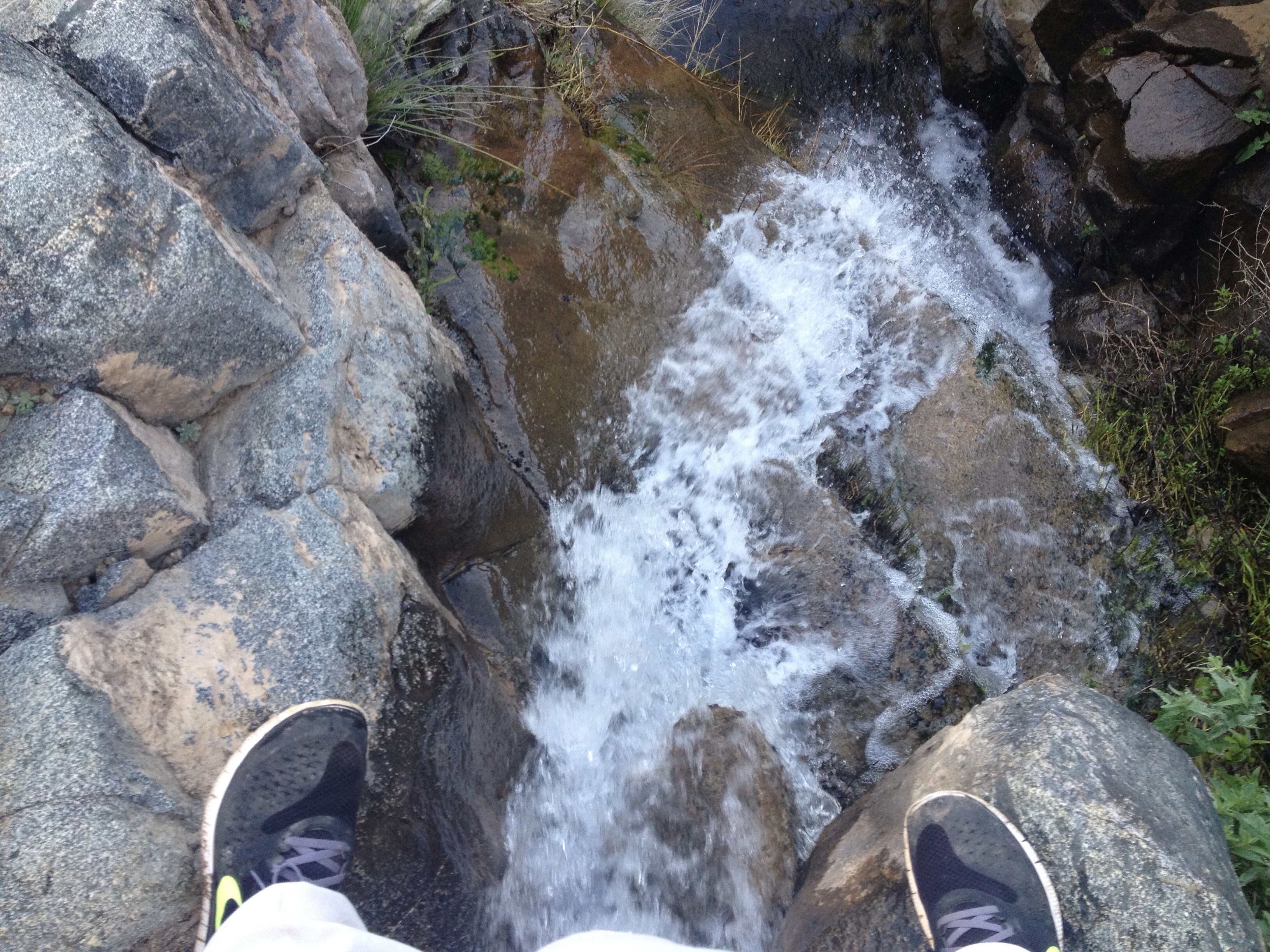
Water fall

Academic Block University Of Malakand. ..
Topographic Map of Timergara, Lower Dir, Khyber Pakhtunkhwa, Pakistan
Find elevation by address:

Places in Timergara, Lower Dir, Khyber Pakhtunkhwa, Pakistan:
Places near Timergara, Lower Dir, Khyber Pakhtunkhwa, Pakistan:
Lower Dir
Osakai
Timergara
Bypass Road
Batkhela
Chakdara
River Swat View Point
Chakdara Fort
University Of Malakand
Dir Lower
Toormang
Swat Ranizai
Lalqila Maidan
Maidan
Dargai
Asbanr
Malakand
Wari
Kakad
Darora
Recent Searches:
- Elevation of 15th Ave SE, St. Petersburg, FL, USA
- Elevation of Beall Road, Beall Rd, Florida, USA
- Elevation of Leguwa, Nepal
- Elevation of County Rd, Enterprise, AL, USA
- Elevation of Kolchuginsky District, Vladimir Oblast, Russia
- Elevation of Shustino, Vladimir Oblast, Russia
- Elevation of Lampiasi St, Sarasota, FL, USA
- Elevation of Elwyn Dr, Roanoke Rapids, NC, USA
- Elevation of Congressional Dr, Stevensville, MD, USA
- Elevation of Bellview Rd, McLean, VA, USA