Elevation of Timbrell, QC G0X, Canada
Location: Canada > Québec > Le Haut-saint-maurice >
Longitude: -74.764915
Latitude: 47.968393
Elevation: 427m / 1401feet
Barometric Pressure: 96KPa
Elevation Map:
Satellite Map:
Related Photos:
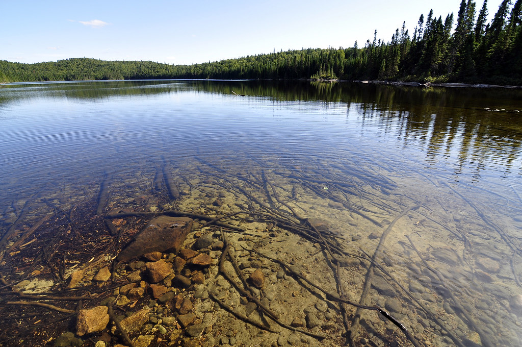
Northern Quebec fishing lake
Topographic Map of Timbrell, QC G0X, Canada
Find elevation by address:

Places near Timbrell, QC G0X, Canada:
Recent Searches:
- Elevation of Zimmer Trail, Pennsylvania, USA
- Elevation of 87 Kilmartin Ave, Bristol, CT, USA
- Elevation of Honghe National Nature Reserve, QP95+PJP, Tongjiang, Heilongjiang, Jiamusi, Heilongjiang, China
- Elevation of Hercules Dr, Colorado Springs, CO, USA
- Elevation of Szlak pieszy czarny, Poland
- Elevation of Griffing Blvd, Biscayne Park, FL, USA
- Elevation of Kreuzburger Weg 13, Düsseldorf, Germany
- Elevation of Gateway Blvd SE, Canton, OH, USA
- Elevation of East W.T. Harris Boulevard, E W.T. Harris Blvd, Charlotte, NC, USA
- Elevation of West Sugar Creek, Charlotte, NC, USA