Elevation of Timboiwo, Kenya
Location: Kenya > Baringo County >
Longitude: 35.8
Latitude: 0.416667
Elevation: 2179m / 7149feet
Barometric Pressure: 78KPa
Elevation Map:
Satellite Map:
Related Photos:
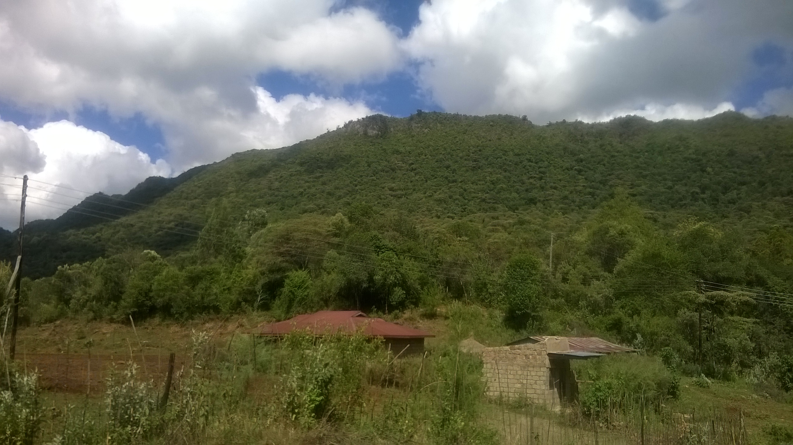
WP_20140408_005

IMG_0721

Yellow-breasted Apalis (Apalis flavida)
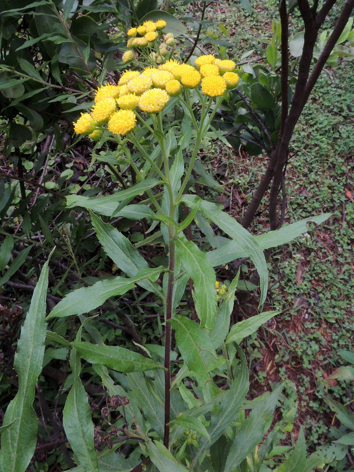
Conyza newii
Topographic Map of Timboiwo, Kenya
Find elevation by address:

Places near Timboiwo, Kenya:
Kabarnet
Baringo County
Kabartonjo
Rimoi
Kipkabus
Lake Baringo
Lake Bogoria
Kaptagat
Eldama Ravine
Yatya
Iten
Zenna Flower Farm
Uasin Gishu County
St. Luke Hospital
The Hill School
Pioneer
Eldoret
Chebara
Chepkum
Manguo
Recent Searches:
- Elevation of Bilohirs'k
- Elevation of 30 Oak Lawn Dr, Barkhamsted, CT, USA
- Elevation of Luther Road, Luther Rd, Auburn, CA, USA
- Elevation of Unnamed Road, Respublika Severnaya Osetiya — Alaniya, Russia
- Elevation of Verkhny Fiagdon, North Ossetia–Alania Republic, Russia
- Elevation of F. Viola Hiway, San Rafael, Bulacan, Philippines
- Elevation of Herbage Dr, Gulfport, MS, USA
- Elevation of Lilac Cir, Haldimand, ON N3W 2G9, Canada
- Elevation of Harrod Branch Road, Harrod Branch Rd, Kentucky, USA
- Elevation of Wyndham Grand Barbados Sam Lords Castle All Inclusive Resort, End of Belair Road, Long Bay, Bridgetown Barbados