Elevation of Timberlake Trail, Rogers, AR, USA
Location: United States > Arkansas > Benton County > Township 2 >
Longitude: -93.995761
Latitude: 36.3164997
Elevation: 368m / 1207feet
Barometric Pressure: 97KPa
Elevation Map:
Satellite Map:
Related Photos:

Drawing clouds

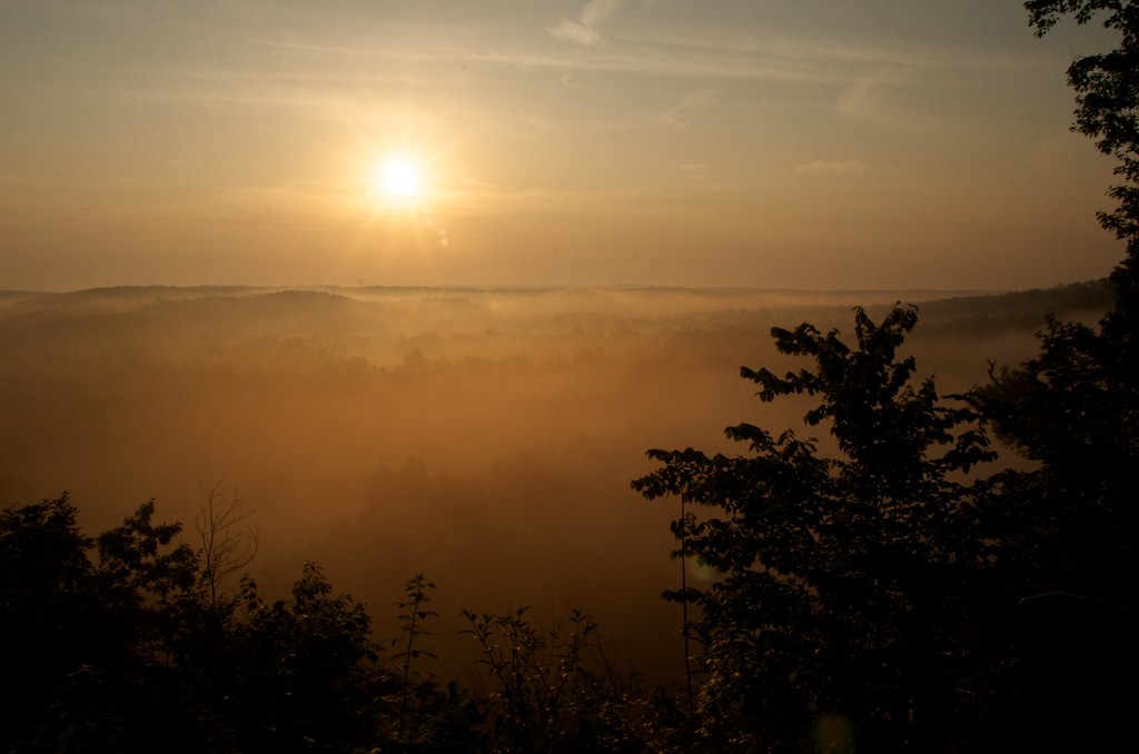
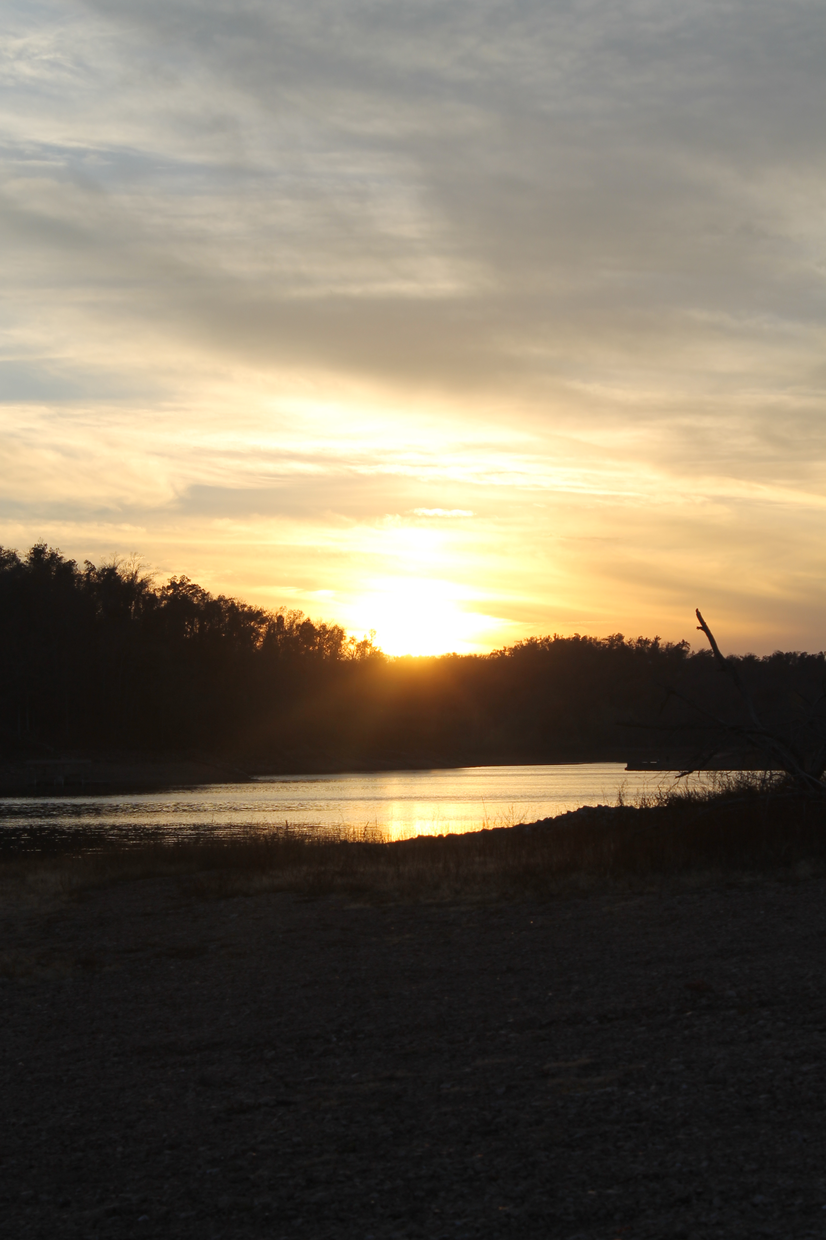
Magical Evening

Teach a man how to fish and..

War Eagle Creek Top View Direct
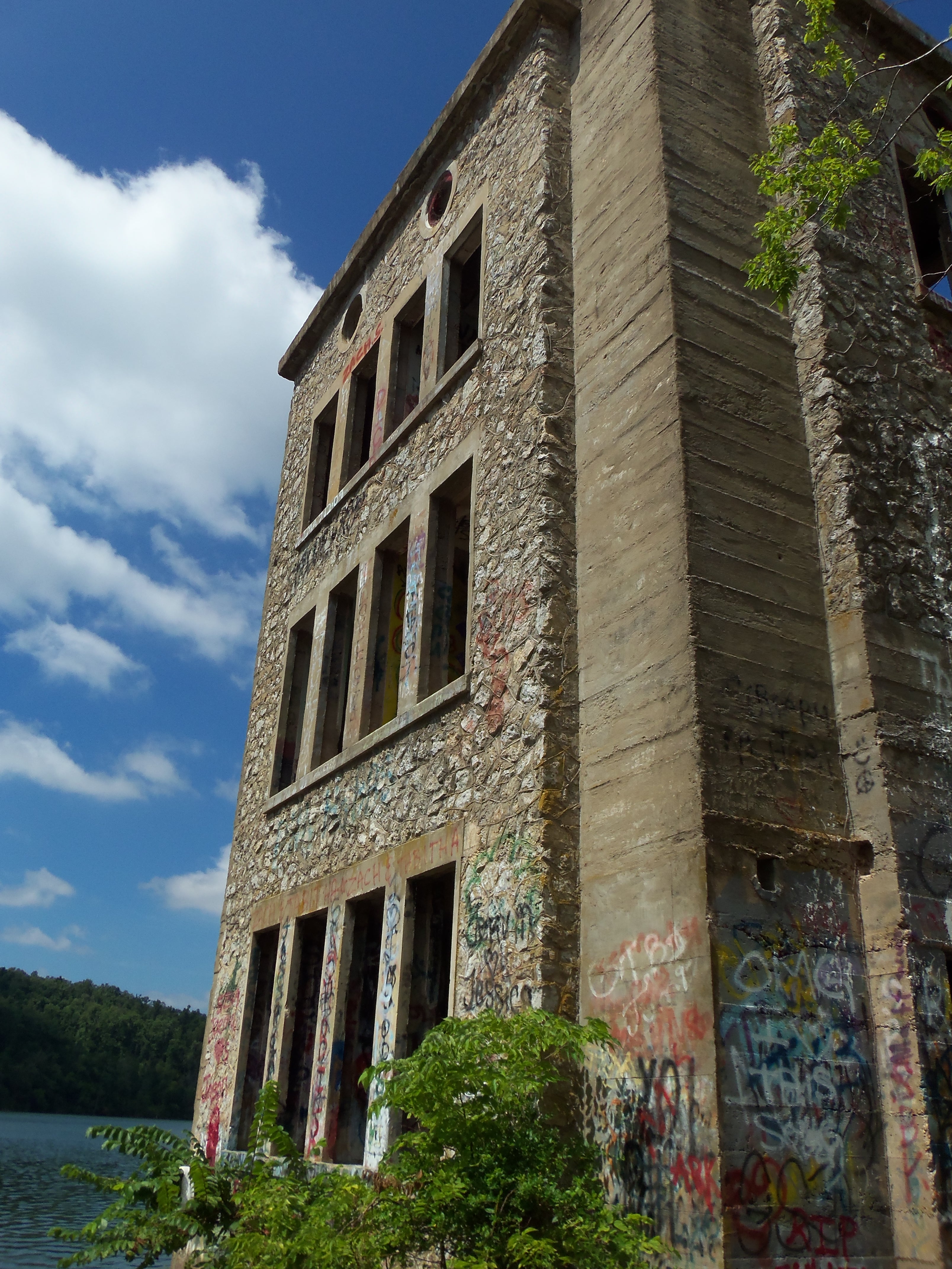
tower view
Oklahoma Row Tower Overlook

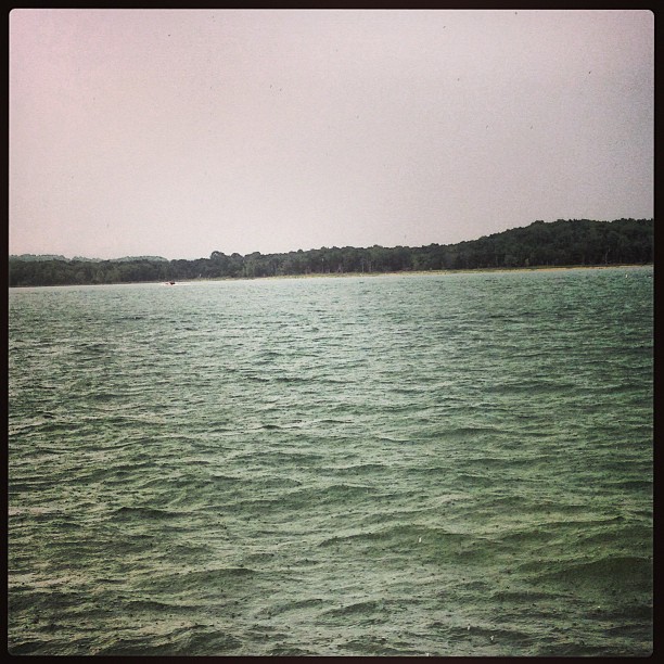
"That View" @ Beaver Lake, Rogers, Arkansas
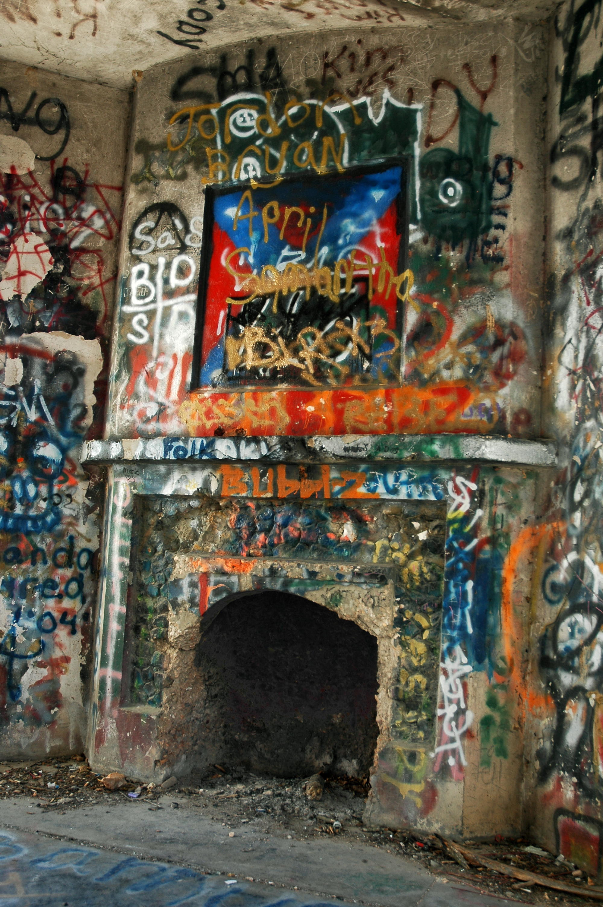
Oklahoma Row Fireplace
What a view

War Eagle, a Working Water Mill
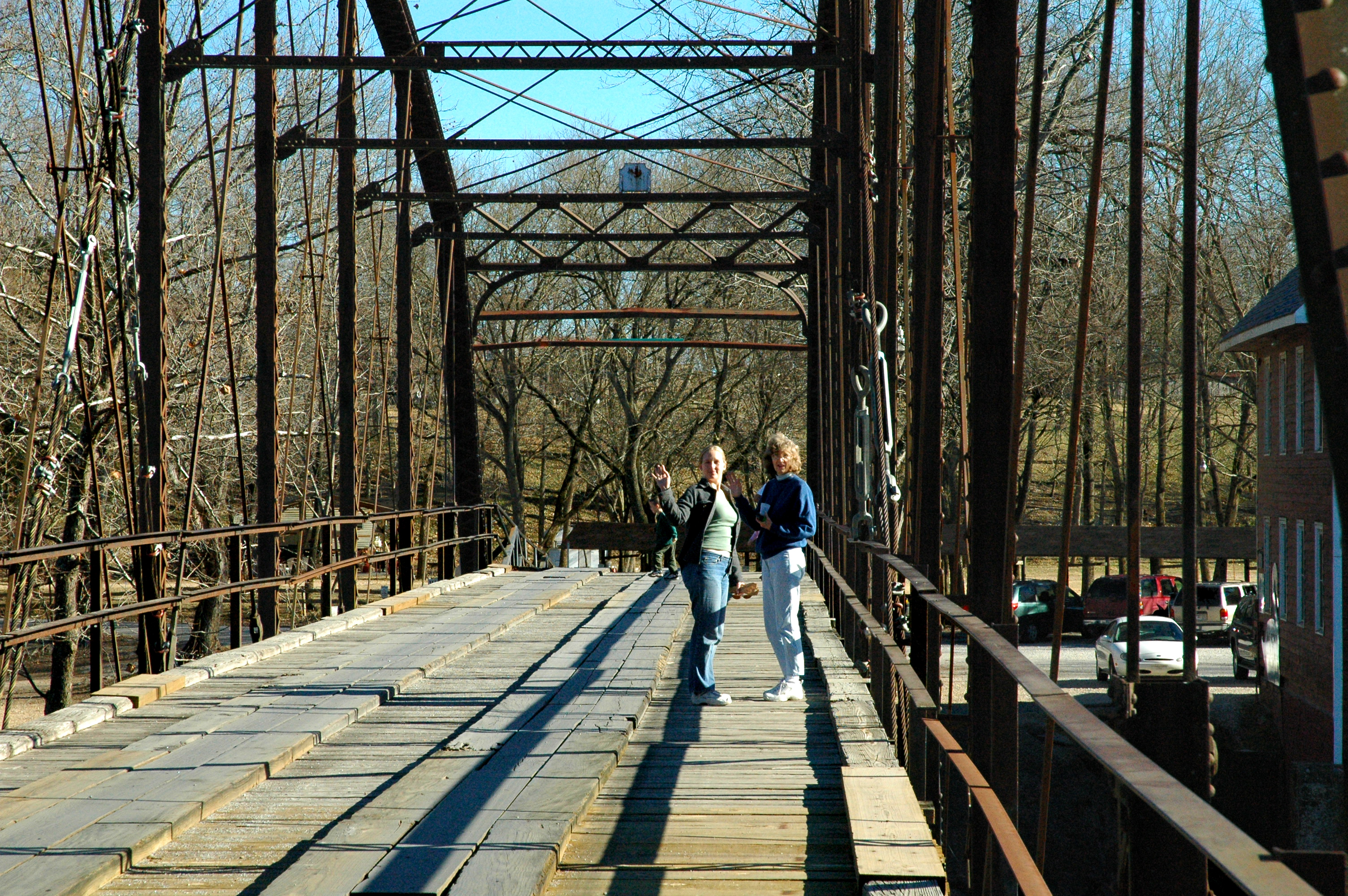
On War Eagle Bridge
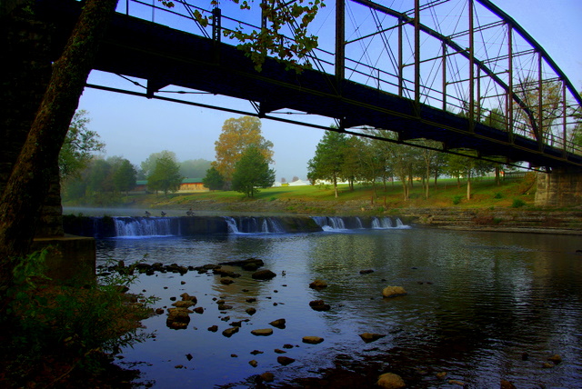
War Eagle Bridge
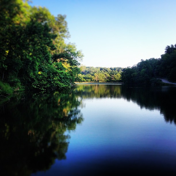
View Opening Up
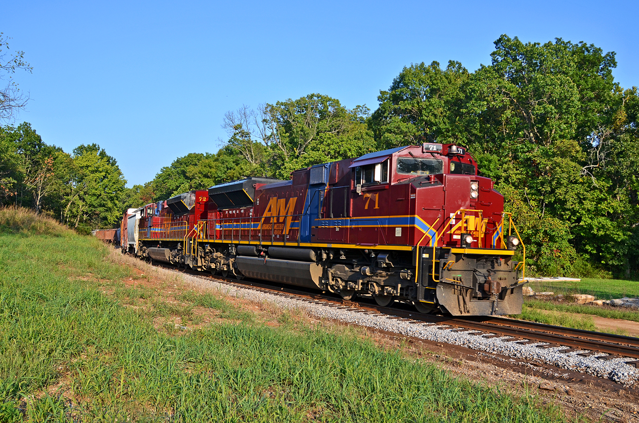
A&M SD70ACe-71, 72 S/B MT at Garfield, AR.

Pea Ridge - Elkhorn Tavern
Elkhorn Tavern - rear view

Dead End...

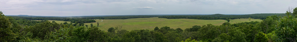
Pea Ridge East Ov Pano1
View from Whitney Mtn.

Lowell Field 4

Lowell Field 5

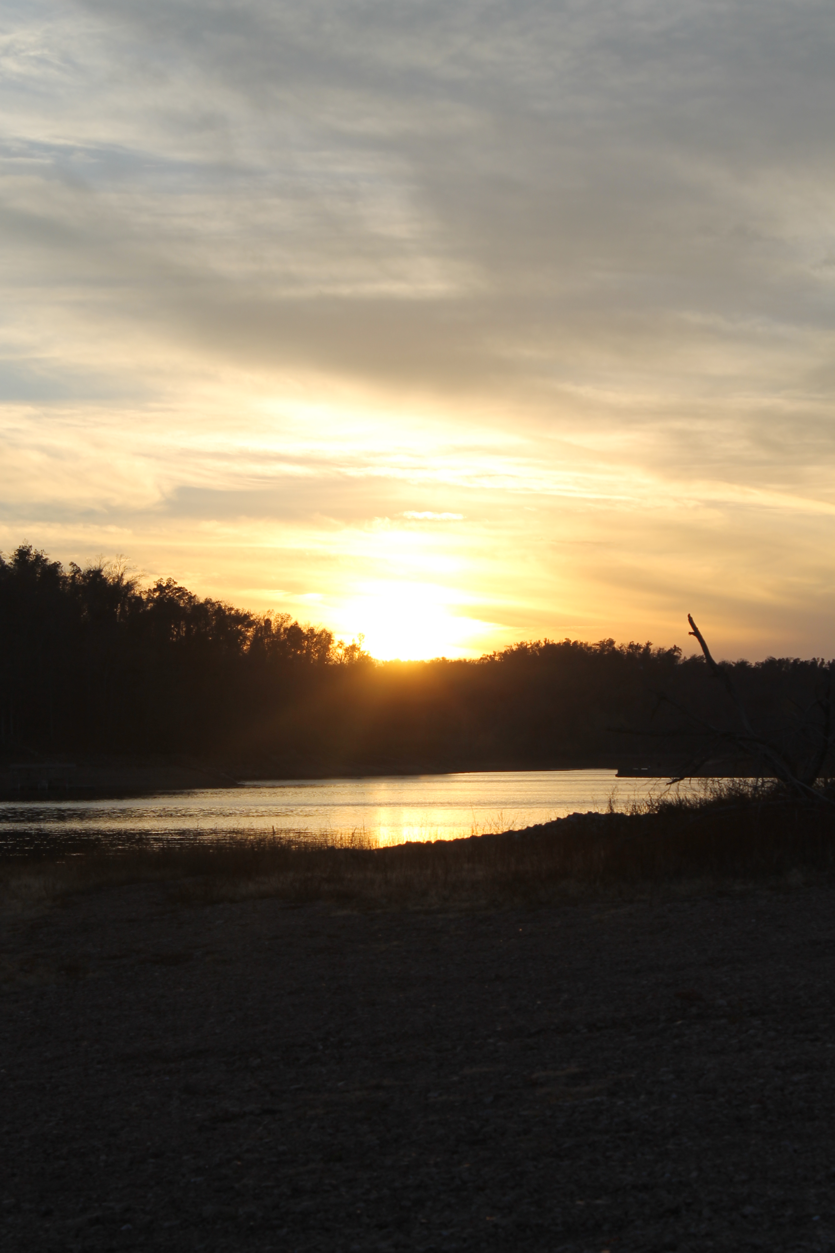
Lightning at Sunset
Rains is gone!! #lake day!!
#lake day over

Lowell Field 3

Lowell Field 8

Looking forward to...

Good morning

Lowell Field 6
Rain rain go away!!

Lowell Field 2

Close enough to get wet
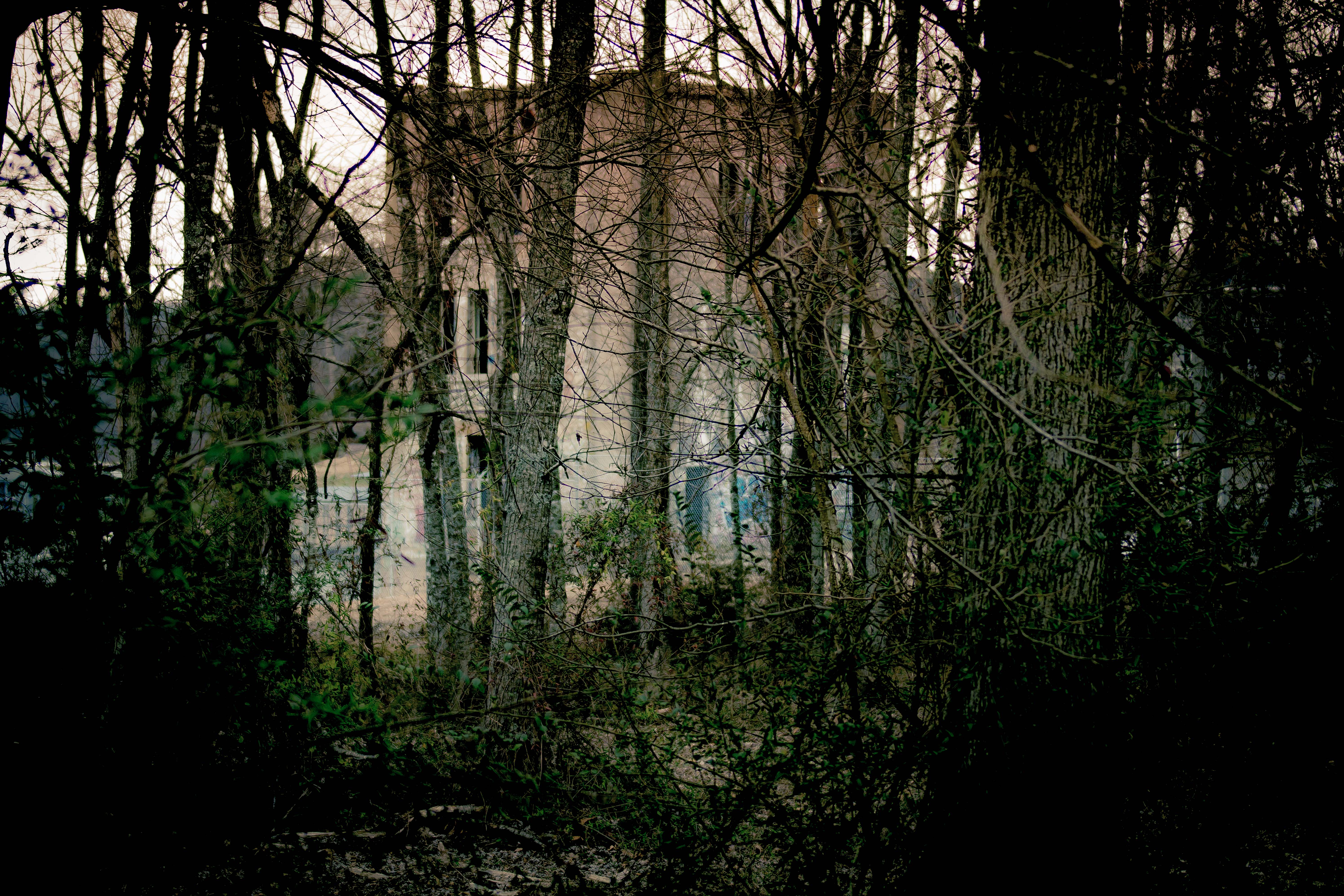
Castles in the woods
#lakeatlanta #fishing
Camera 11.10.12 344
Camera 11.10.12 345

Dixieland Sun

Camera 11.10.12 347
Trip to NW Arkansas

Old Road West of Pratt's Field
Topographic Map of Timberlake Trail, Rogers, AR, USA
Find elevation by address:

Places near Timberlake Trail, Rogers, AR, USA:
1 Rivercliff Rd, Rogers, AR, USA
19 Morocco Dr, Rogers, AR, USA
Pullum Place Rd, Rogers, AR, USA
8497 Apache Trail
Larue Rd, Rogers, AR, USA
Township 2
Mockingbird Lane
Sullins Ct, Rogers, AR, USA
Beaver Lake Lodge
8463 Tanglewood Rd
15348 Lakeway Dr
Lakeview Dr, Lowell, AR, USA
Bettis Hill Rd, Rogers, AR, USA
Twin Coves Rd, Rogers, AR, USA
Oklahoma Dr, Rogers, AR, USA
Recreation Dr, Lowell, AR, USA
2620 Pleasant Ridge Rd
101 Woodrock Ln
101 E Linden St
Las Palmas
Recent Searches:
- Elevation of Tenjo, Cundinamarca, Colombia
- Elevation of Côte-des-Neiges, Montreal, QC H4A 3J6, Canada
- Elevation of Bobcat Dr, Helena, MT, USA
- Elevation of Zu den Ihlowbergen, Althüttendorf, Germany
- Elevation of Badaber, Peshawar, Khyber Pakhtunkhwa, Pakistan
- Elevation of SE Heron Loop, Lincoln City, OR, USA
- Elevation of Slanický ostrov, 01 Námestovo, Slovakia
- Elevation of Spaceport America, Co Rd A, Truth or Consequences, NM, USA
- Elevation of Warwick, RI, USA
- Elevation of Fern Rd, Whitmore, CA, USA