Elevation of Timber Mountain, California, USA
Location: United States > California > Mount Baldy >
Longitude: -117.59310
Latitude: 34.2450059
Elevation: 2437m / 7995feet
Barometric Pressure: 75KPa
Elevation Map:
Satellite Map:
Related Photos:
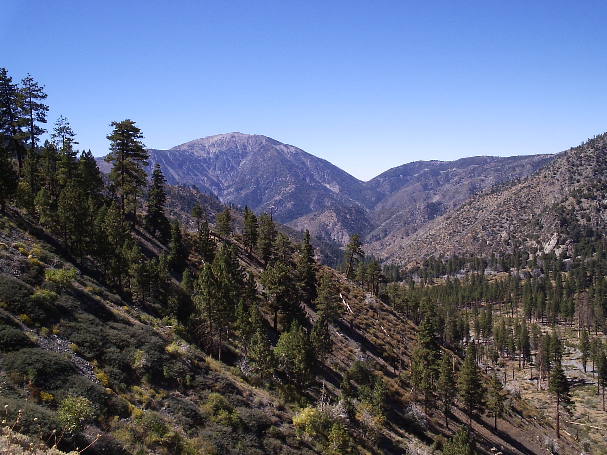
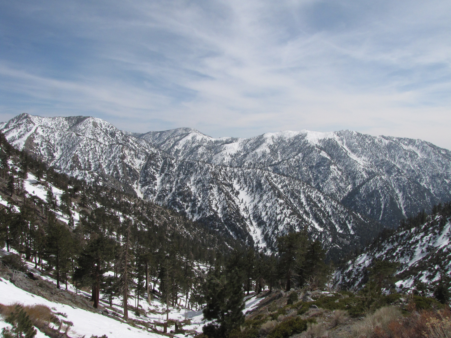
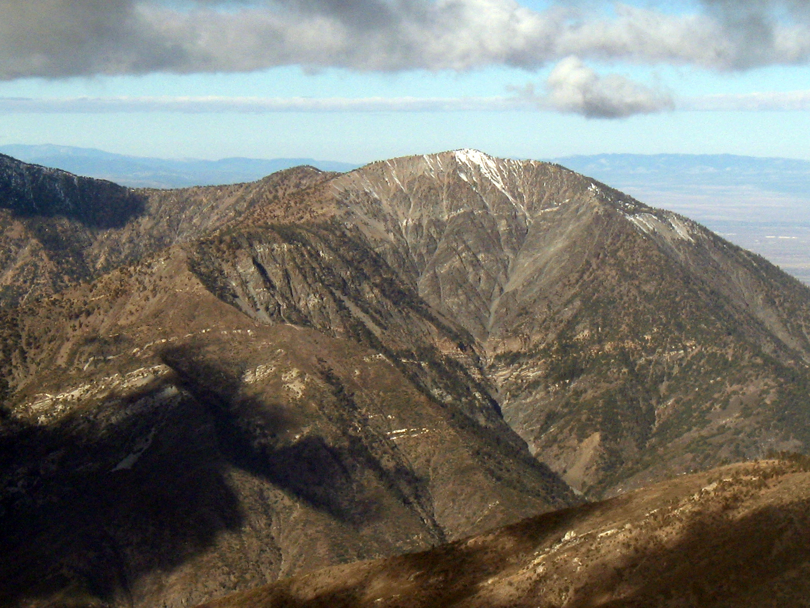
Telegraph Peak from Sugarloaf

Afternoon Haze, Suglarloaf Mountain
A Lofty View

Blue Haze, Sugarloaf Peak

View from top of Mount Baldy
BNSF 7767 East @ Hill 582, Cajon Pass, CA
Mount Harwood
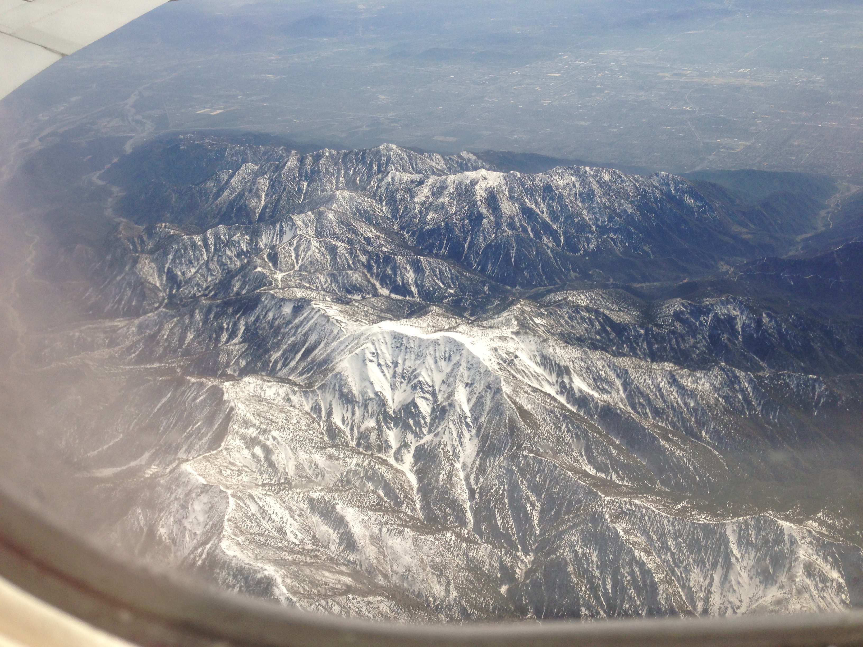
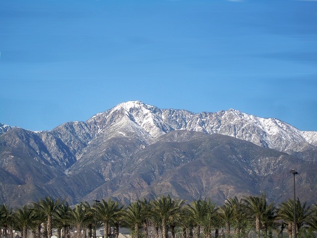
Mt. Baldy first snow
Mount Baden-Powell
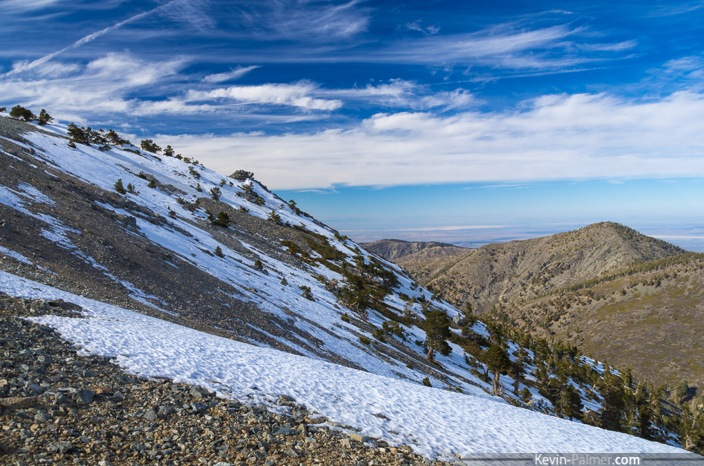
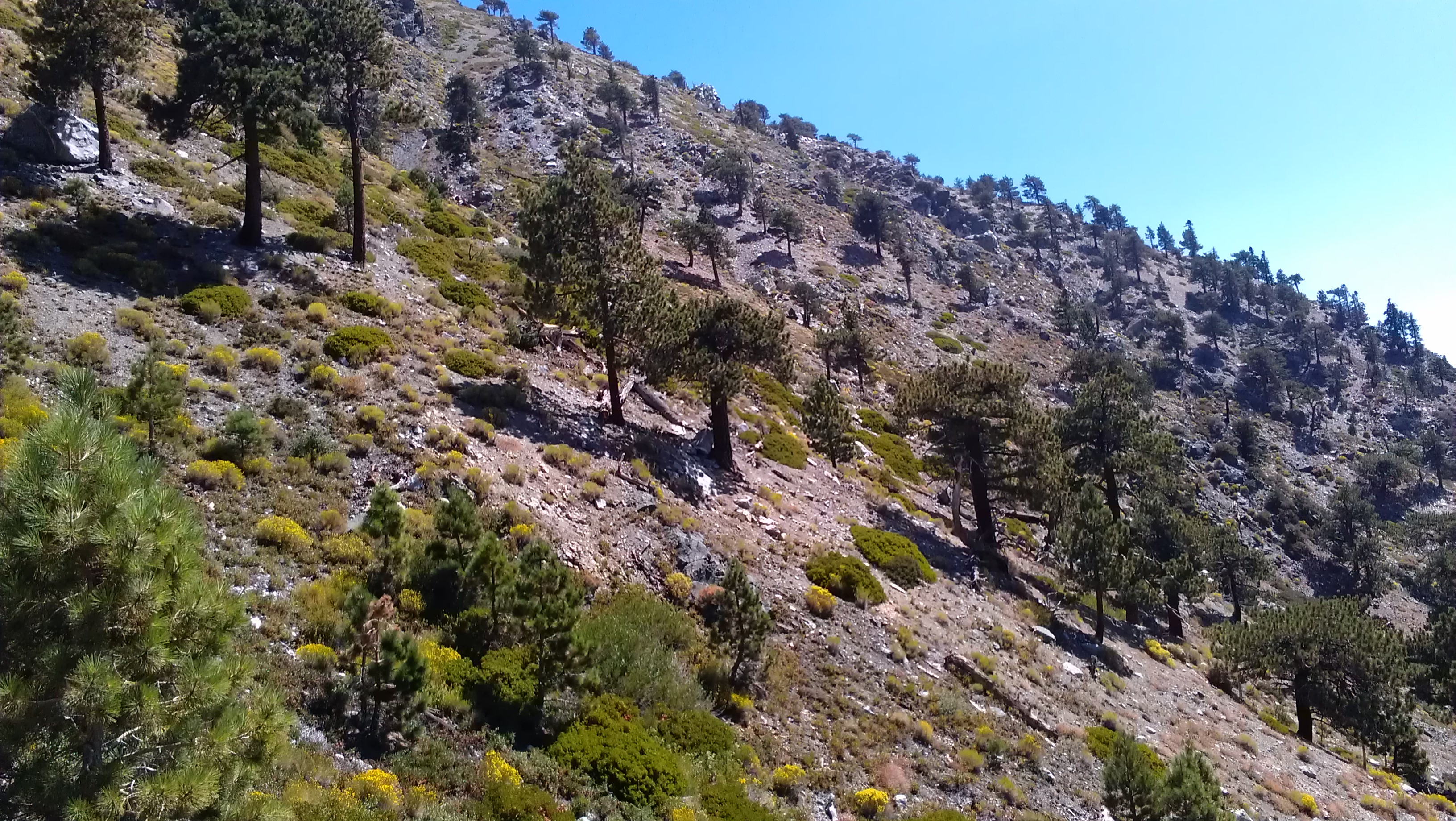
North Slope
Colorado Mountains
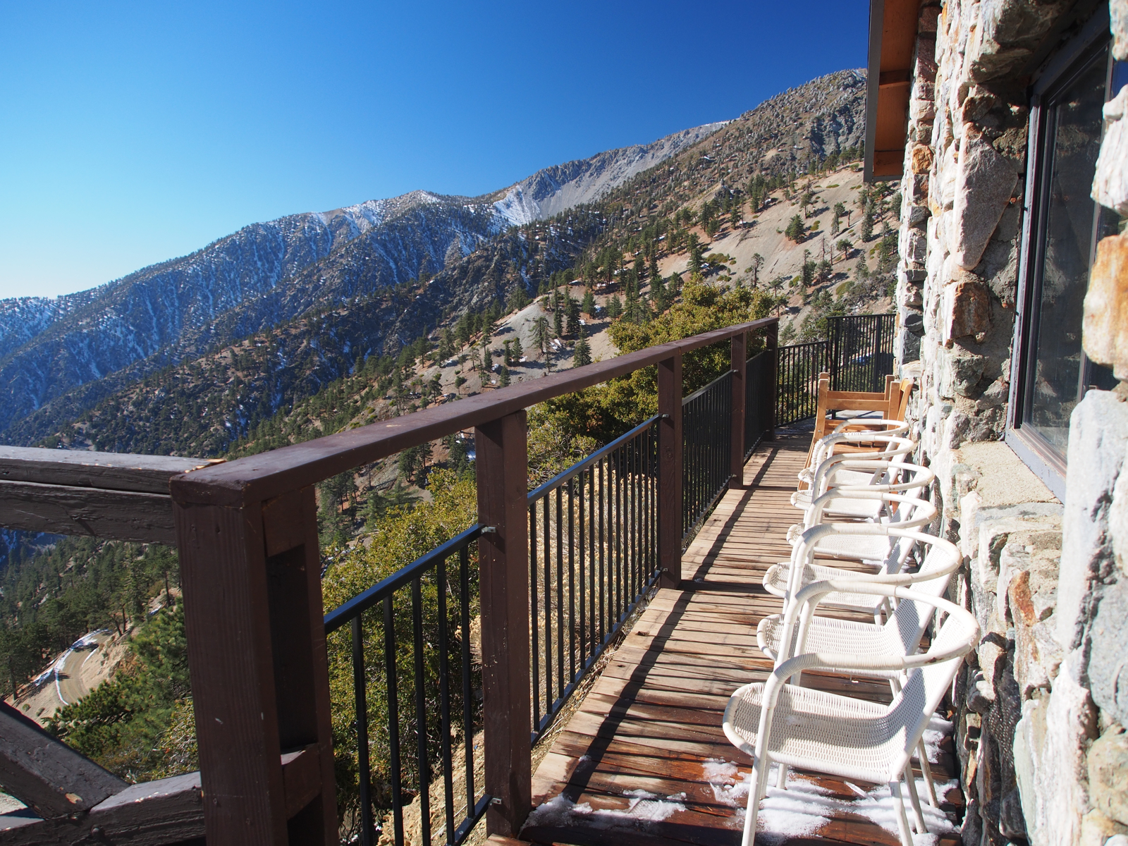
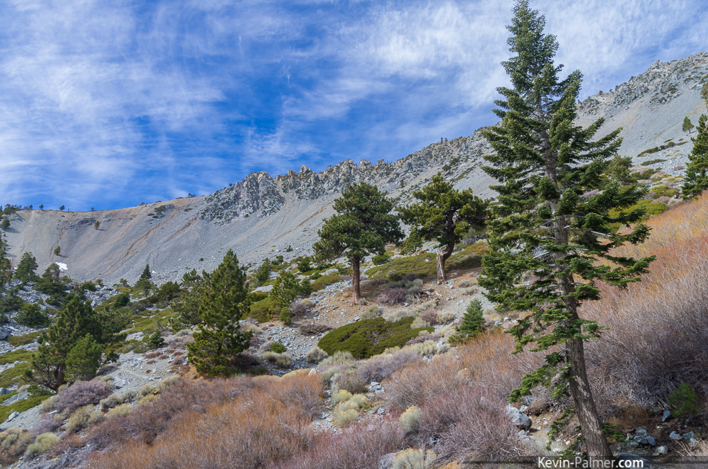
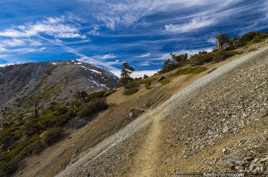
View from the Ski Hut
Cucamonga Peak
Baldy Bowl

Mount Baldy, New Years Eve 2013
The View
View from hike to top of Mount Baldy

Rancho Cucamonga View
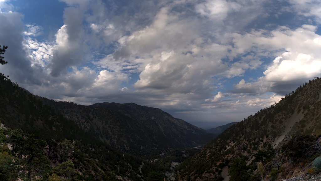
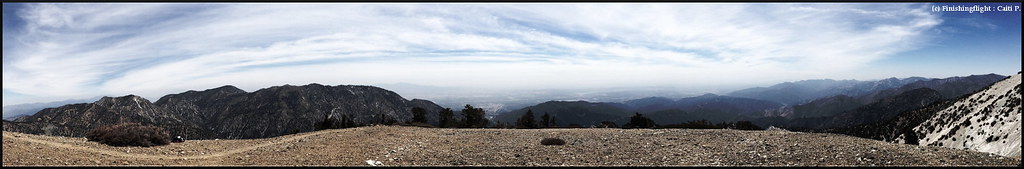
088 Panorama view of morning monsoonal clouds above San Antonio Canyon on the Ski Hut Trail
Slip and Slide
Mt Baden-Powell
Topographic Map of Timber Mountain, California, USA
Find elevation by address:

Places near Timber Mountain, California, USA:
Cucamonga Peak
Mt. Baldy Ski Lifts
Icehouse Canyon Trailhead
Mt Baldy Lodge
6777 Mt Baldy Rd
Mount Baldy
2 Oak Dr
8 Oak Dr
14 Oak Dr
11 Oak Dr
10 Oak Dr
9922 Santina St
4949 Klusman Ave
4988 Laredo Pl
5178 Hermosa Ave
8947 Laramie Dr
9575 Hidden Farm Rd
10154 Whispering Forest Dr
10079 Copper Mountain Ct
9079 Appaloosa Ct
Recent Searches:
- Elevation of Corso Fratelli Cairoli, 35, Macerata MC, Italy
- Elevation of Tallevast Rd, Sarasota, FL, USA
- Elevation of 4th St E, Sonoma, CA, USA
- Elevation of Black Hollow Rd, Pennsdale, PA, USA
- Elevation of Oakland Ave, Williamsport, PA, USA
- Elevation of Pedrógão Grande, Portugal
- Elevation of Klee Dr, Martinsburg, WV, USA
- Elevation of Via Roma, Pieranica CR, Italy
- Elevation of Tavkvetili Mountain, Georgia
- Elevation of Hartfords Bluff Cir, Mt Pleasant, SC, USA