Elevation of Timber Ln, Trinidad, CO, USA
Location: United States > Colorado > Las Animas County > Trinidad >
Longitude: -104.59619
Latitude: 37.2858701
Elevation: 2094m / 6870feet
Barometric Pressure: 79KPa
Elevation Map:
Satellite Map:
Related Photos:

Trinidad, Colorado Gargoyles
day7-4
day7-5
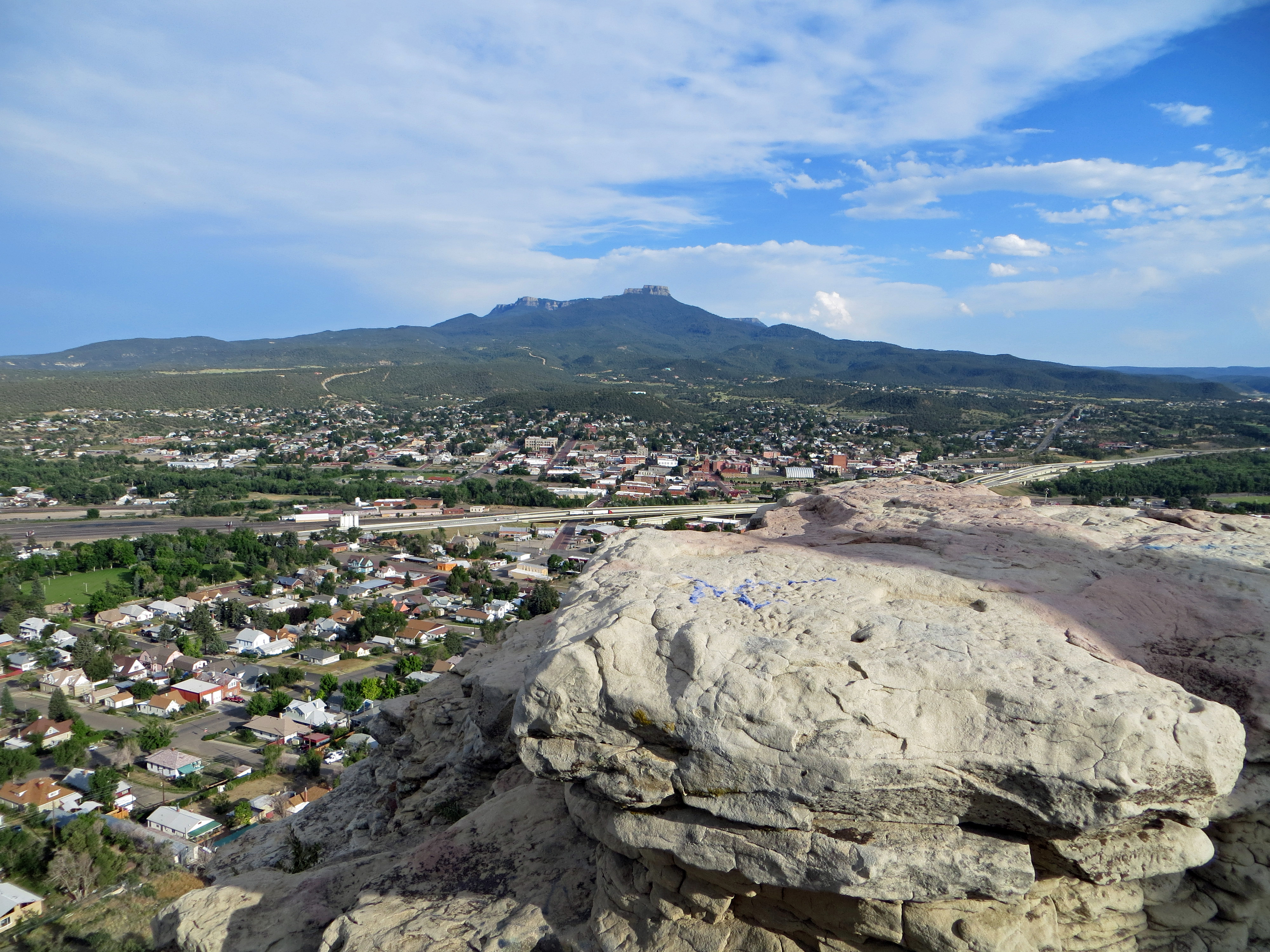
Simpson's Rest View
day7-3
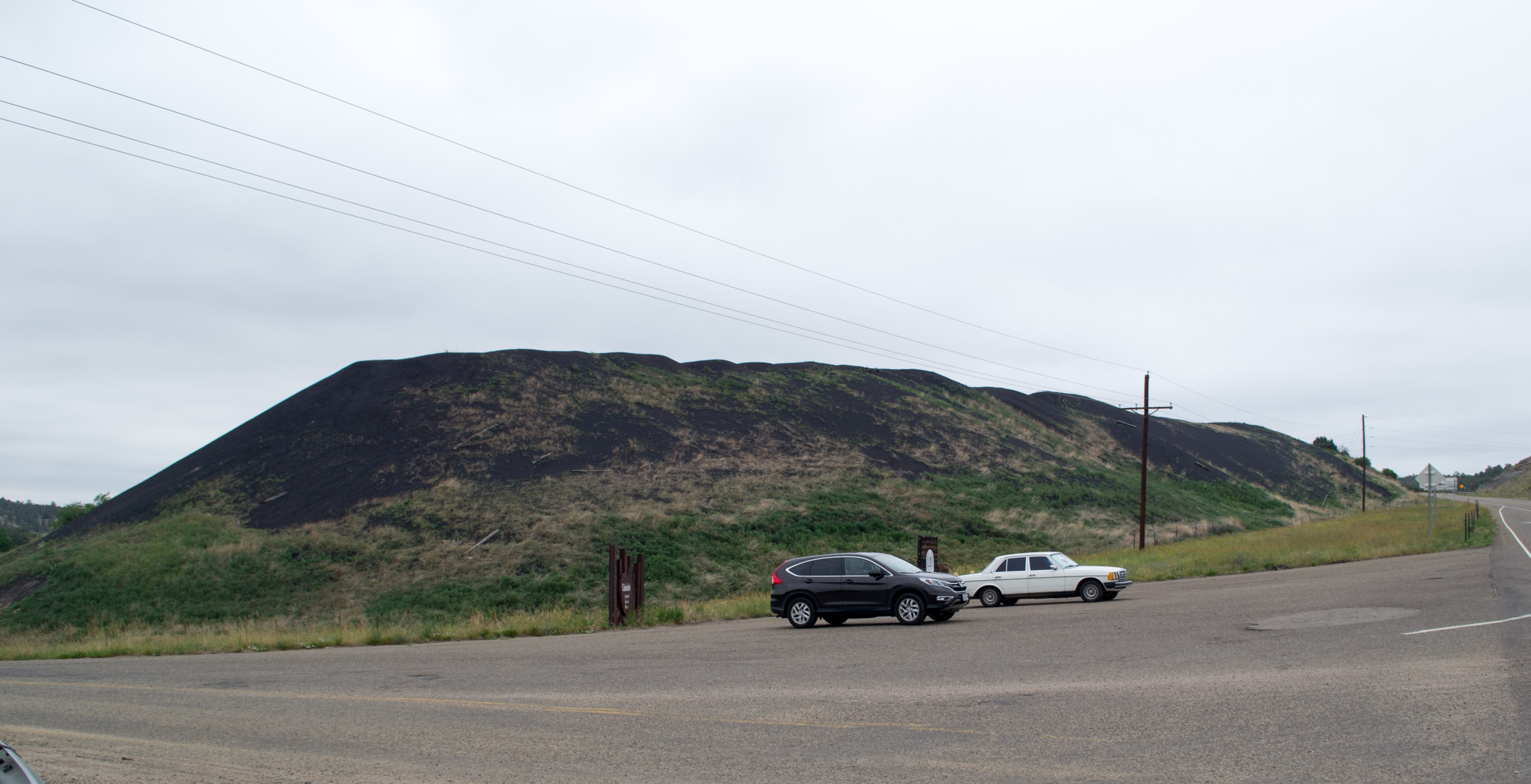
Cokedale Historic Dist, CO slag pile (# 0064)
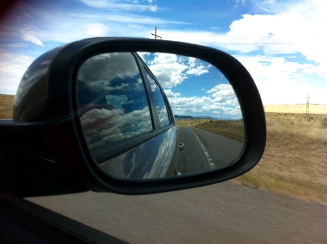
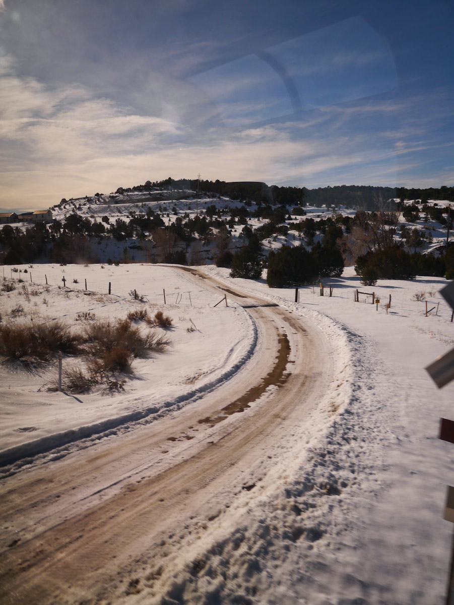
Mountains in the rear view.
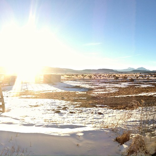
The sun is headed behind the...

A view that never gets old...
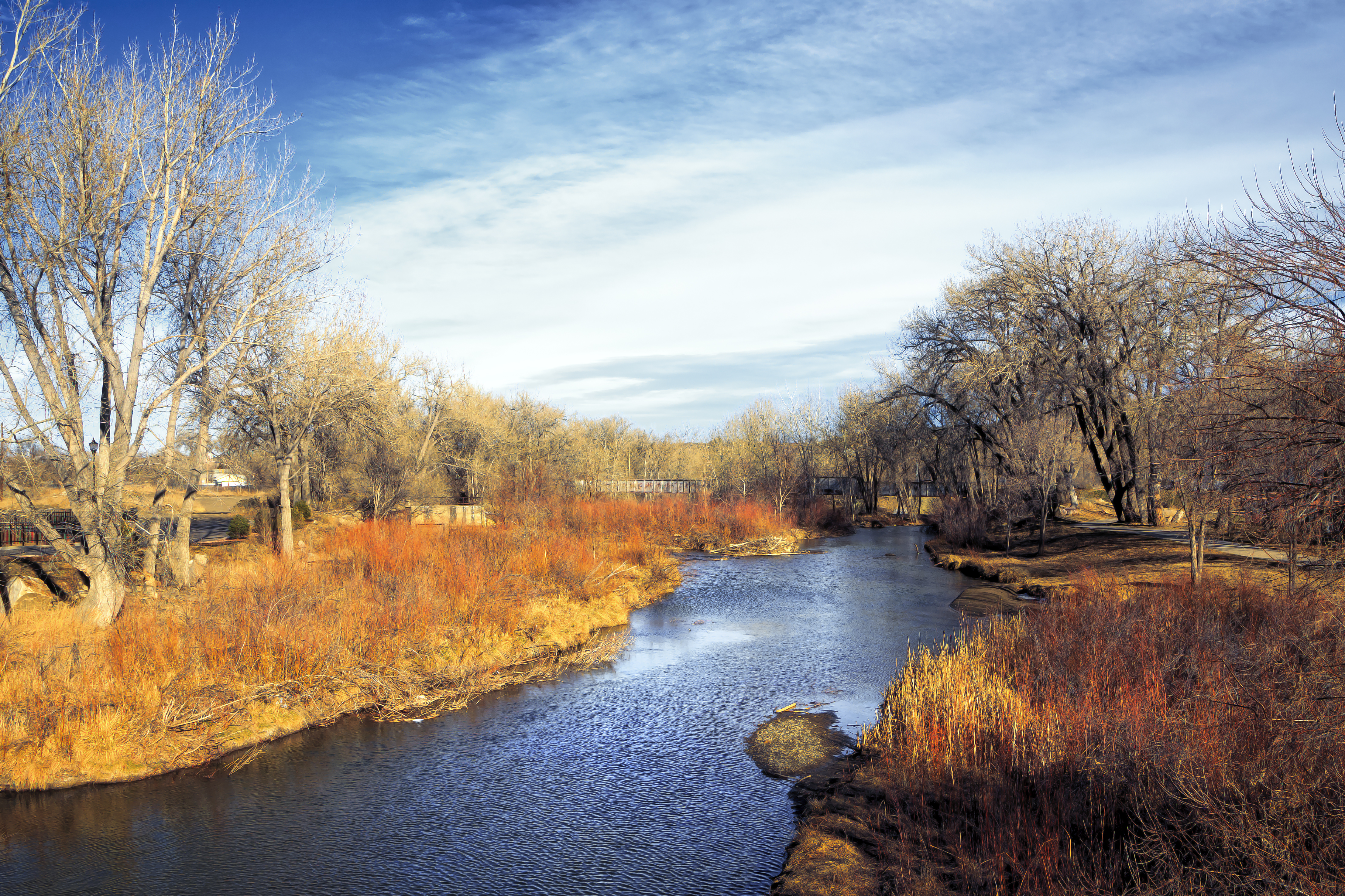
Purgatoire River
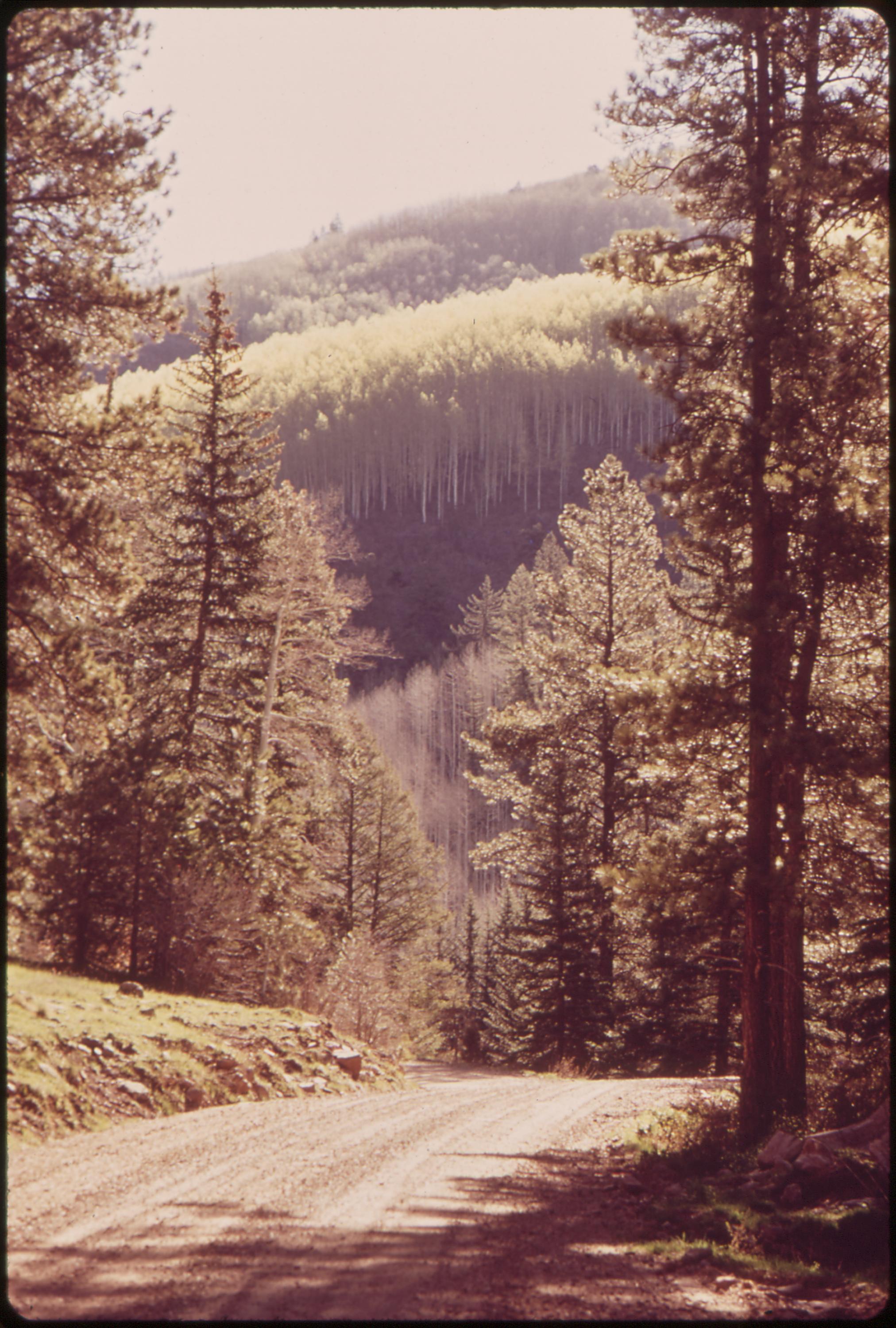
Forest road near West Dolores River, 05/1972.
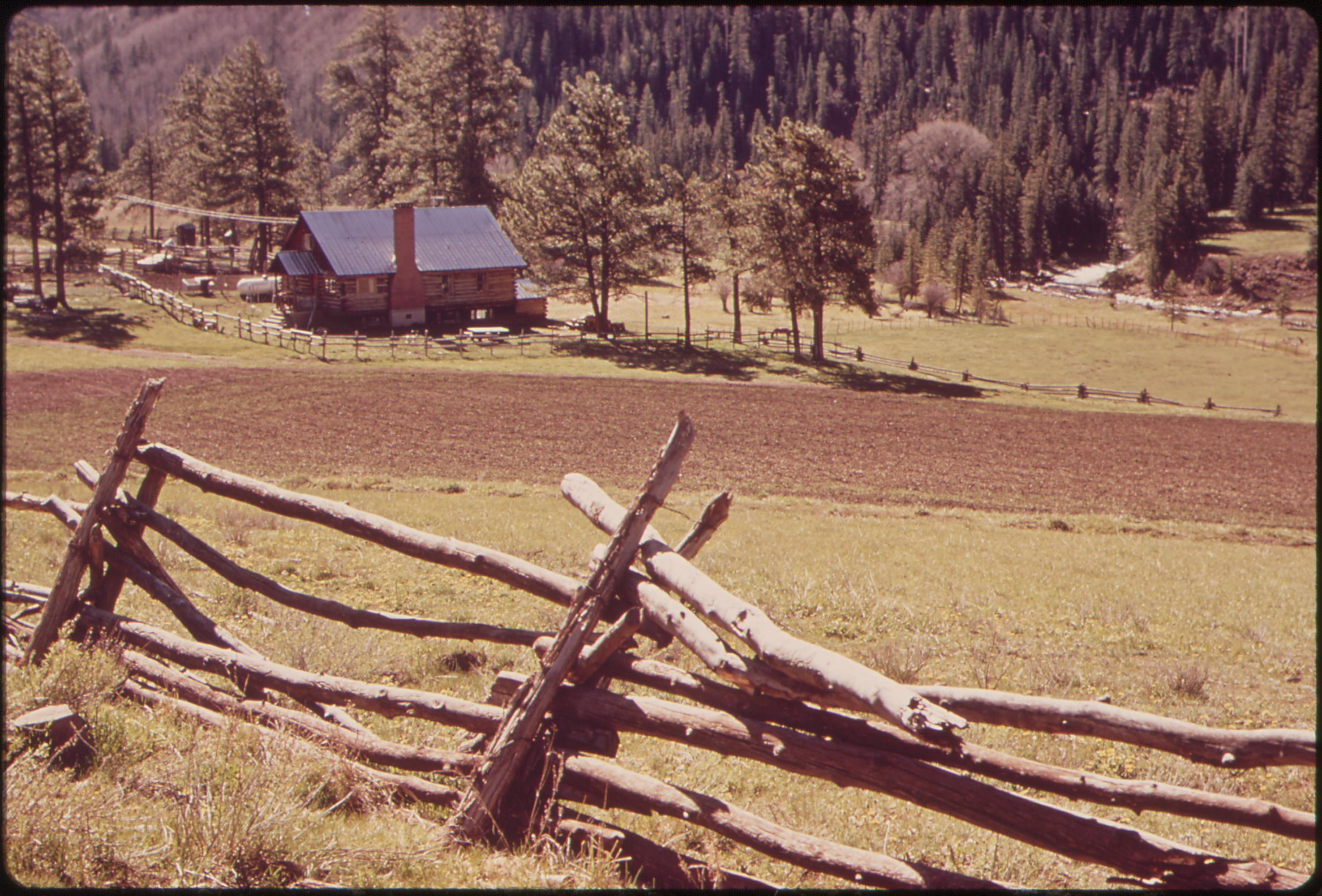
Ranch, 04/1972.
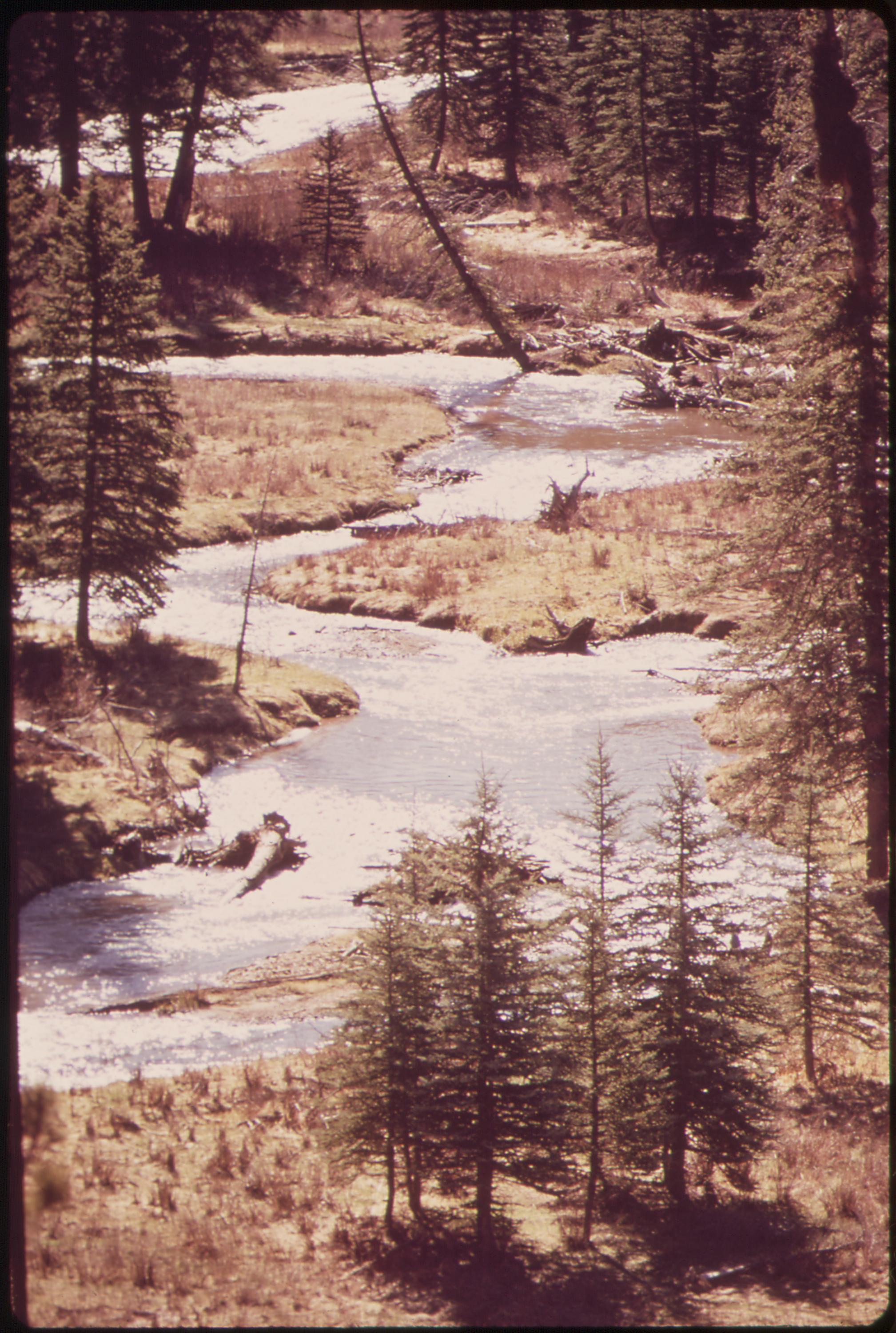
West Dolores River, 05/1972.

Moon over forest, 05/1972.
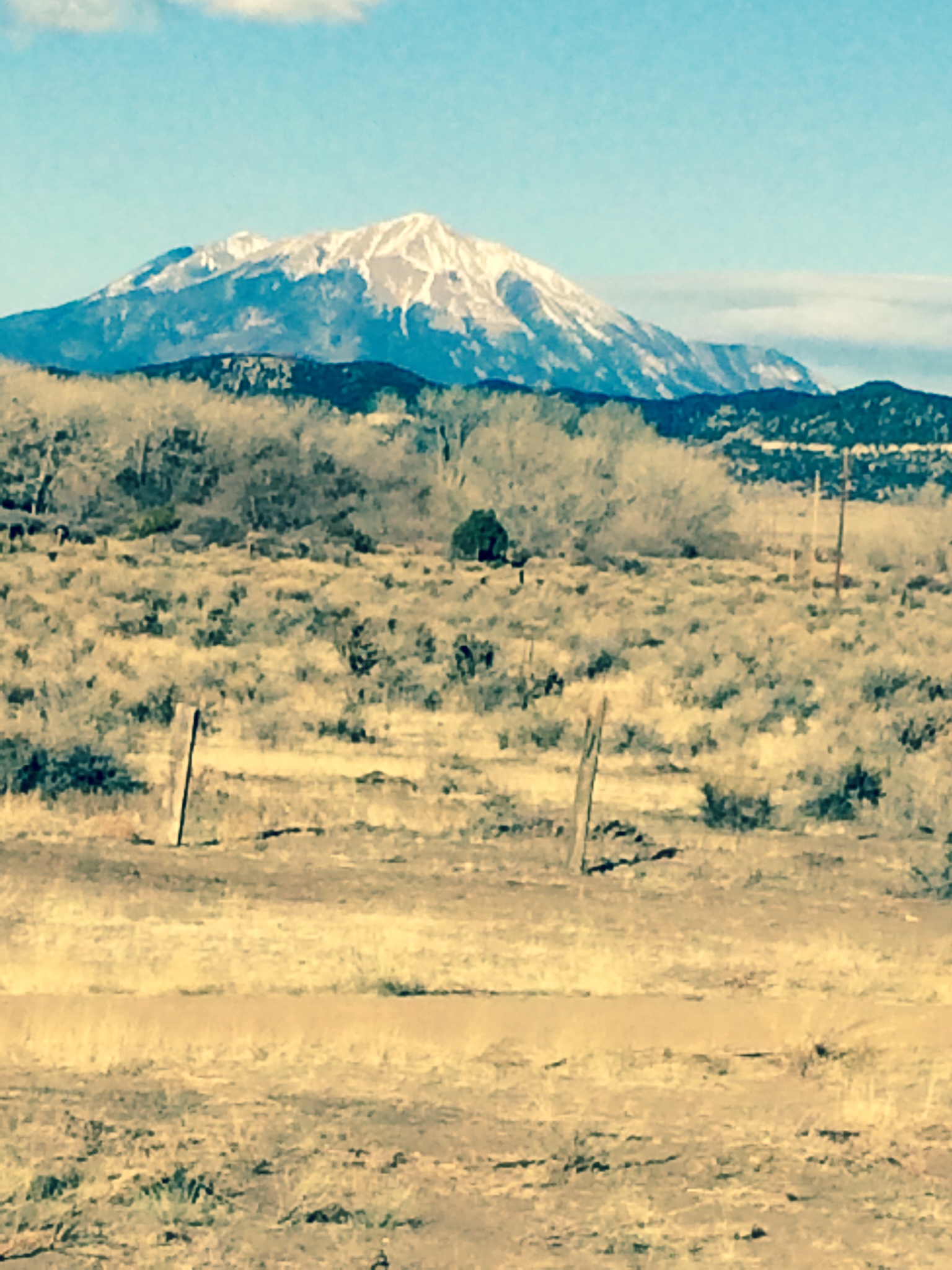
Spanish Peaks, Colorado
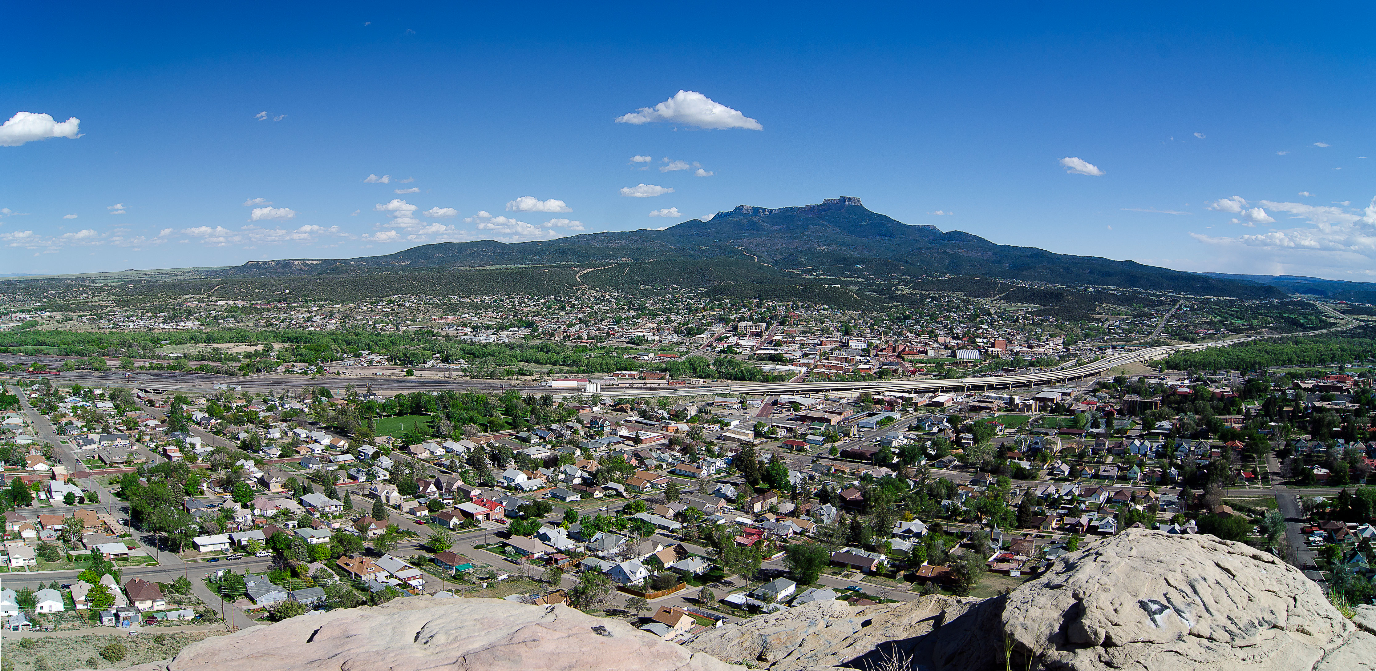
Trinidad, Colorado_Panorama

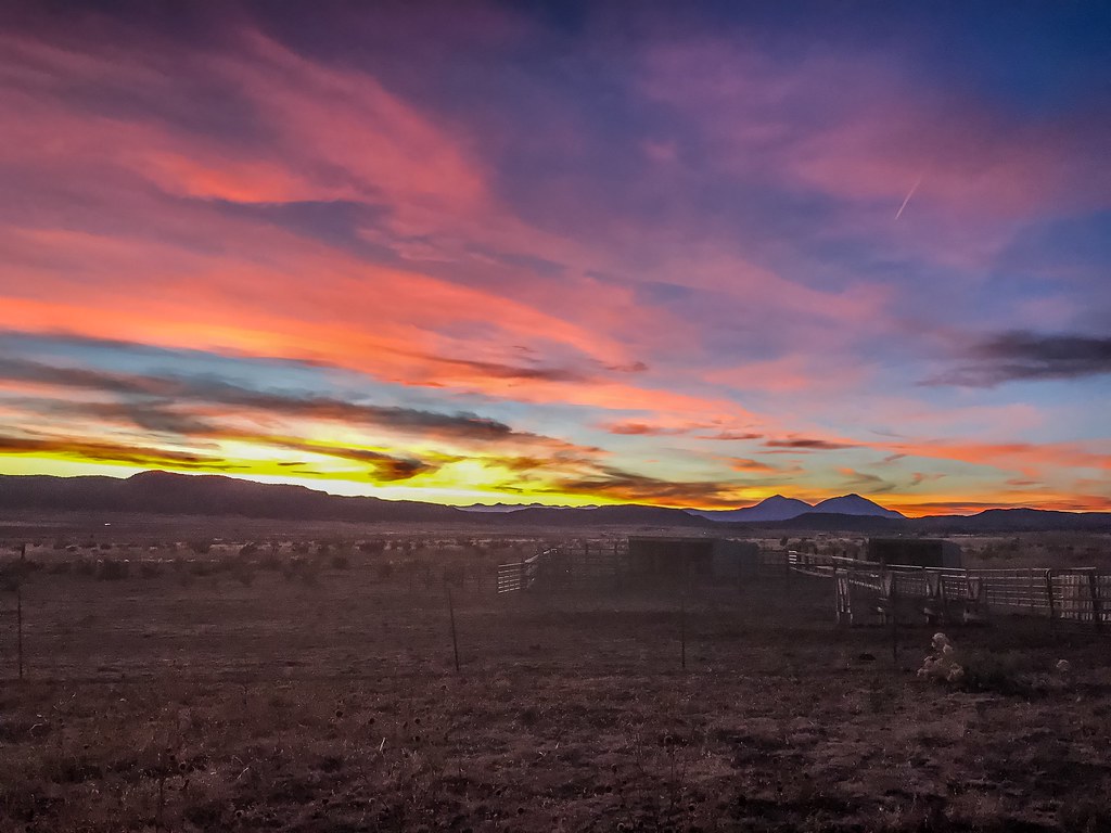
January Sunset
Thanksgiving at home 2017.
IMG_1070-adj
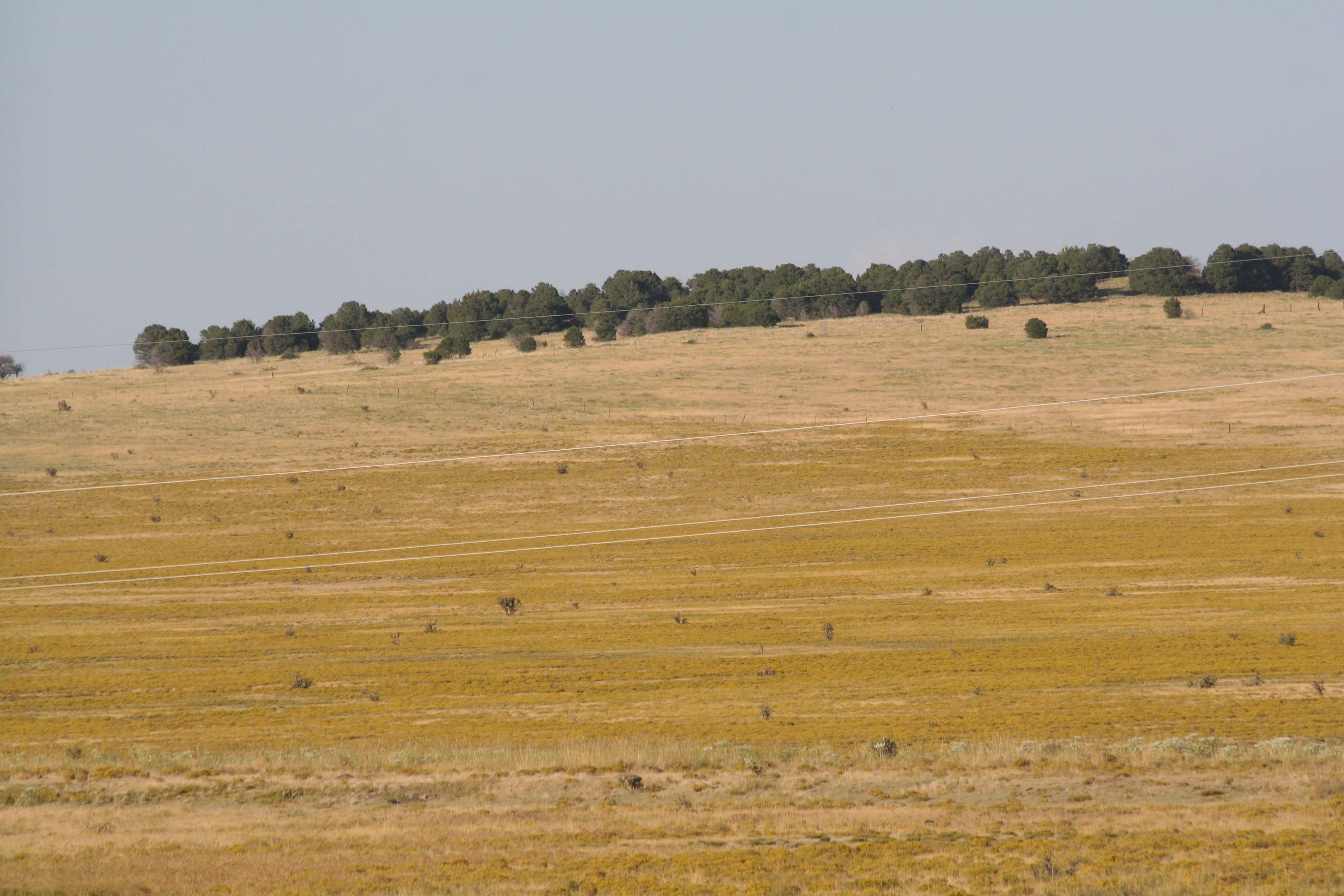
Fields of Gold
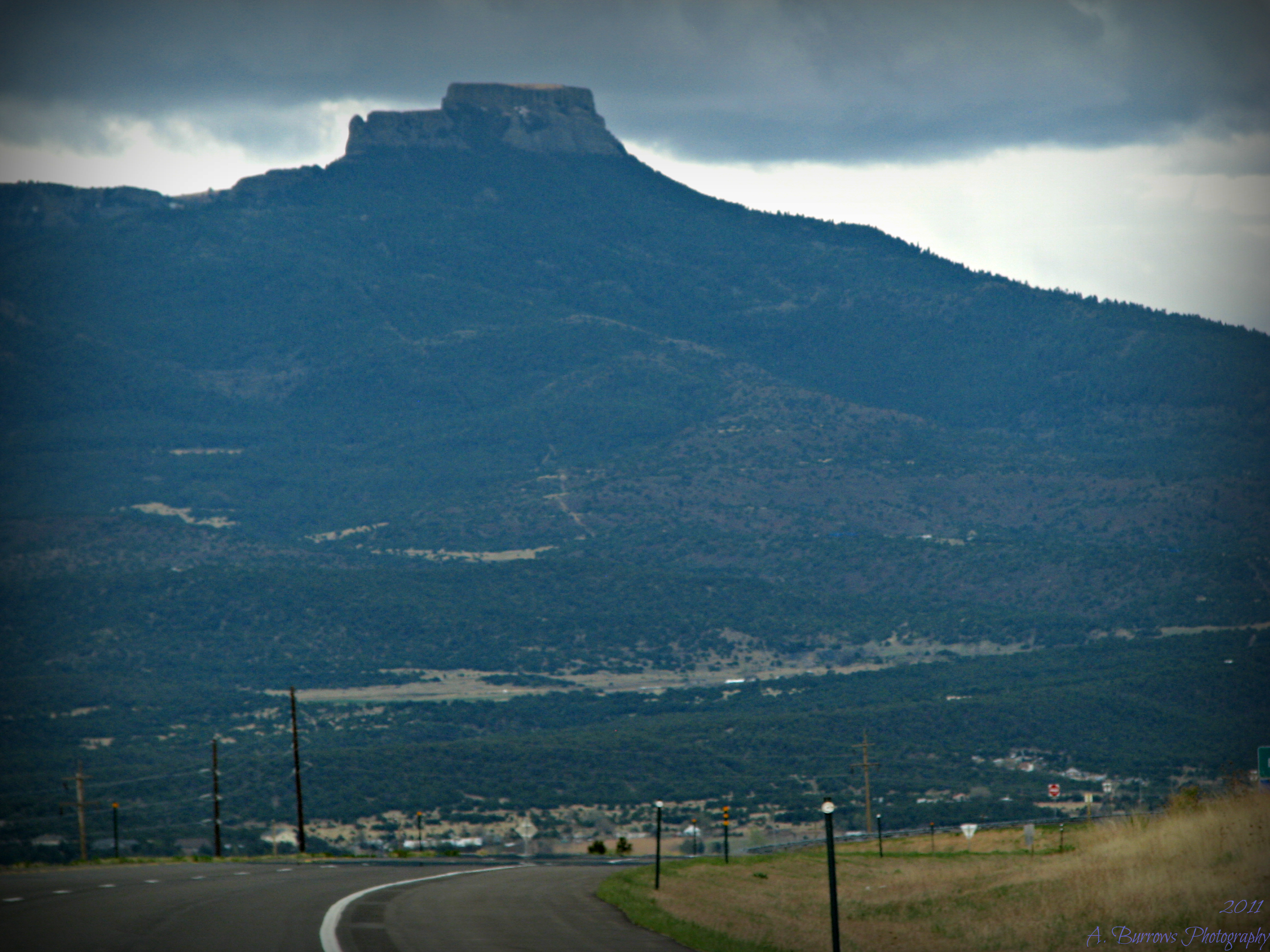
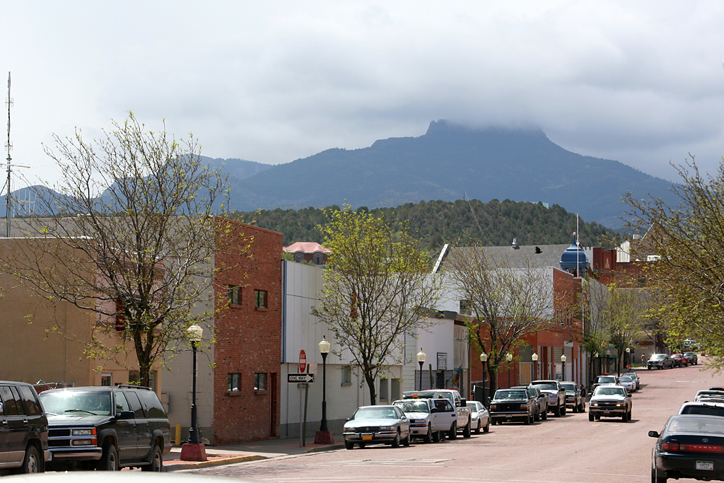
Entering Trinidad with Fisher's Peak
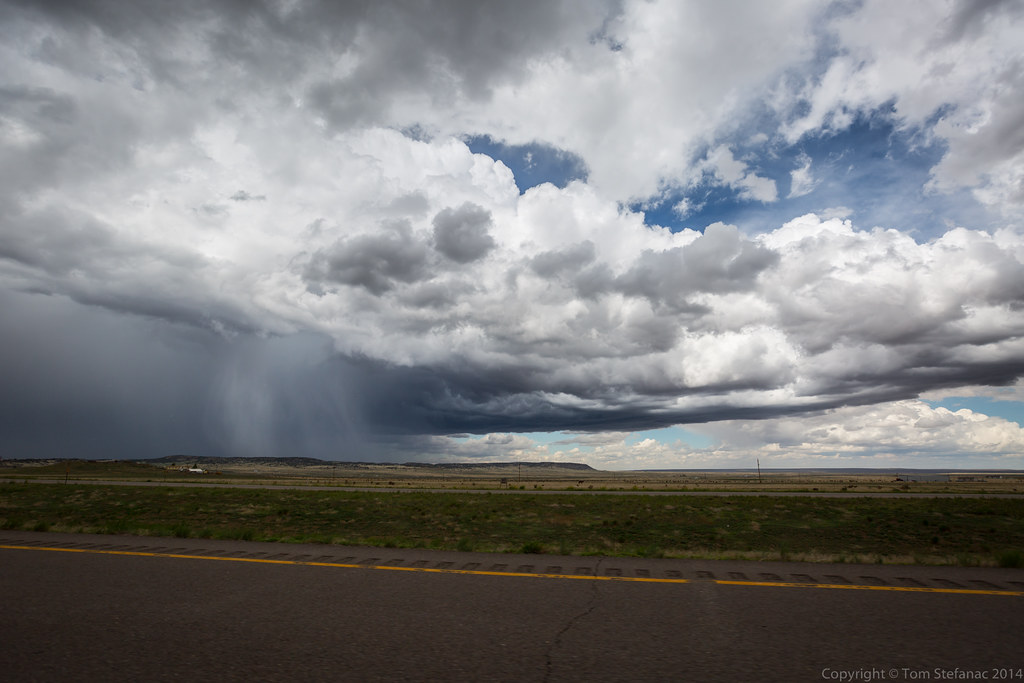
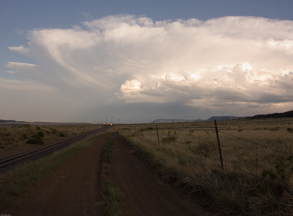
Clouds and Rain
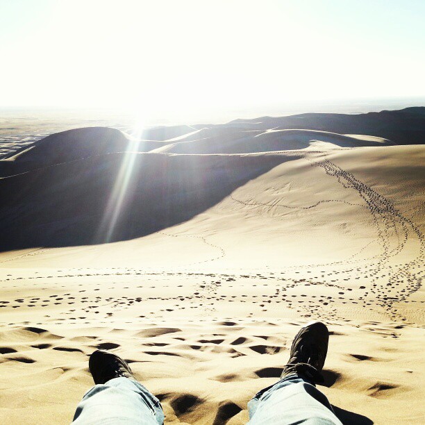
What a climb.

A City in the Clouds (Hipstamatic Contest Entry)

Bursting Forth (Hipstamatic Contest Entry)
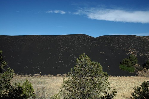
Mountains of Coal, Cokedale, Colorado
Crossing County Road 20.8
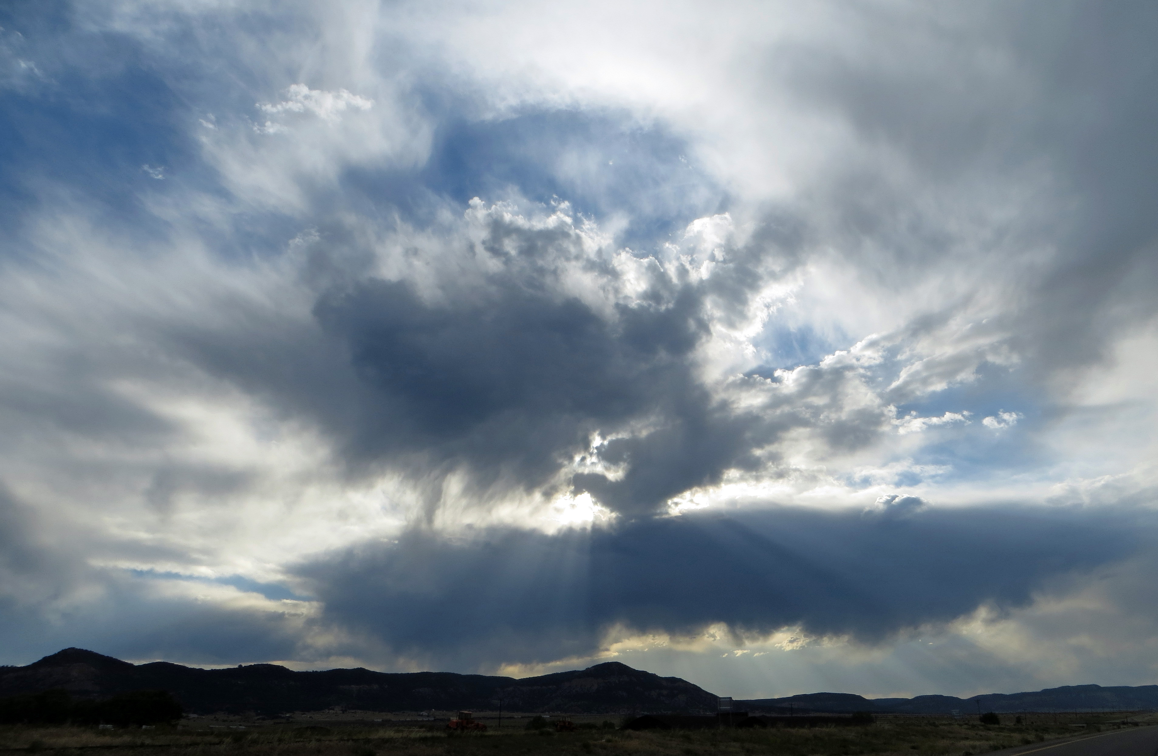
Western Clouds
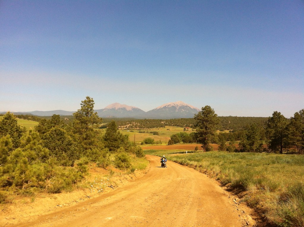
trans am trail CO

Interstate 25 in southern Colorado
Topographic Map of Timber Ln, Trinidad, CO, USA
Find elevation by address:

Places near Timber Ln, Trinidad, CO, USA:
31300 Timber Canyon Rd
32017 Big View Dr
20722 Tollerburg Rd
20610 Old Wagon Trail Rd
17890 Co Rd 51
17890 Co Rd 51
25520 Ridgeline Dr
Ridgeline Drive
21540 Ridgeline Dr
20401 County Rd 40.2
20401 County Rd 40.2
25453 Overlook Dr
24251 Wildcat Rd
26350 County Rd 43.7
County Road 43.7
County Rd 56.3, Aguilar, CO, USA
Aguilar
24215 Trujillo Creek Rd
Lynn
24215 Trujillo Creek Ranch Rd
Recent Searches:
- Elevation of Hercules Dr, Colorado Springs, CO, USA
- Elevation of Szlak pieszy czarny, Poland
- Elevation of Griffing Blvd, Biscayne Park, FL, USA
- Elevation of Kreuzburger Weg 13, Düsseldorf, Germany
- Elevation of Gateway Blvd SE, Canton, OH, USA
- Elevation of East W.T. Harris Boulevard, E W.T. Harris Blvd, Charlotte, NC, USA
- Elevation of West Sugar Creek, Charlotte, NC, USA
- Elevation of Wayland, NY, USA
- Elevation of Steadfast Ct, Daphne, AL, USA
- Elevation of Lagasgasan, X+CQH, Tiaong, Quezon, Philippines