Elevation of Timbdi, Gujarat, India
Location: India > Gujarat > Rajkot >
Longitude: 70.8446979
Latitude: 22.8717643
Elevation: 44m / 144feet
Barometric Pressure: 101KPa
Elevation Map:
Satellite Map:
Related Photos:
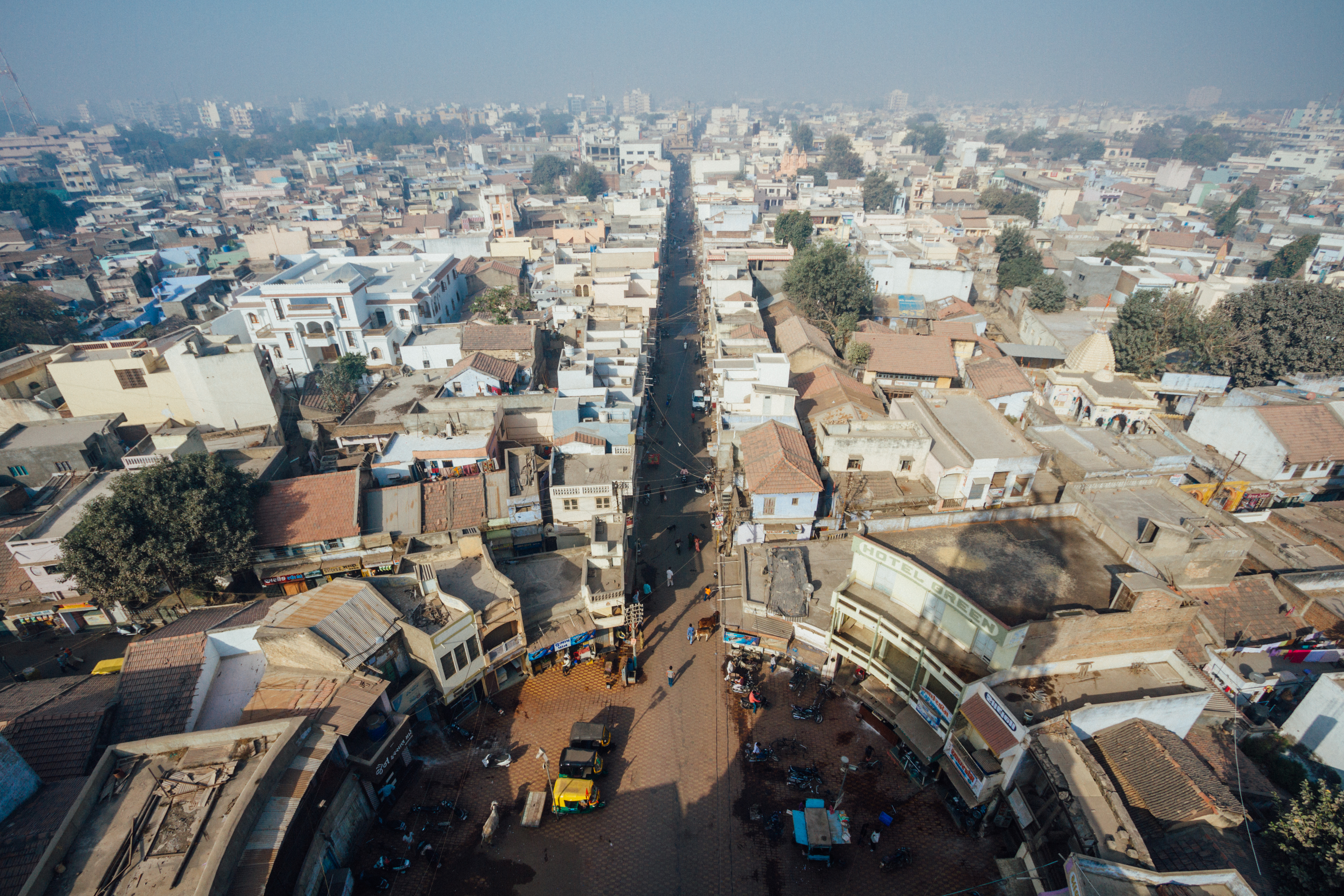
View From Morbi Palace Gate Tower

#tree #sun #light #creativity #nature #natural #beauty

Back light magic
Topographic Map of Timbdi, Gujarat, India
Find elevation by address:

Places near Timbdi, Gujarat, India:
Recent Searches:
- Elevation of Hercules Dr, Colorado Springs, CO, USA
- Elevation of Szlak pieszy czarny, Poland
- Elevation of Griffing Blvd, Biscayne Park, FL, USA
- Elevation of Kreuzburger Weg 13, Düsseldorf, Germany
- Elevation of Gateway Blvd SE, Canton, OH, USA
- Elevation of East W.T. Harris Boulevard, E W.T. Harris Blvd, Charlotte, NC, USA
- Elevation of West Sugar Creek, Charlotte, NC, USA
- Elevation of Wayland, NY, USA
- Elevation of Steadfast Ct, Daphne, AL, USA
- Elevation of Lagasgasan, X+CQH, Tiaong, Quezon, Philippines