Elevation of Tim St, Russellville, AL, USA
Location: United States > Alabama > Franklin County > Russellville >
Longitude: -87.722349
Latitude: 34.5318527
Elevation: 273m / 896feet
Barometric Pressure: 98KPa
Elevation Map:
Satellite Map:
Related Photos:

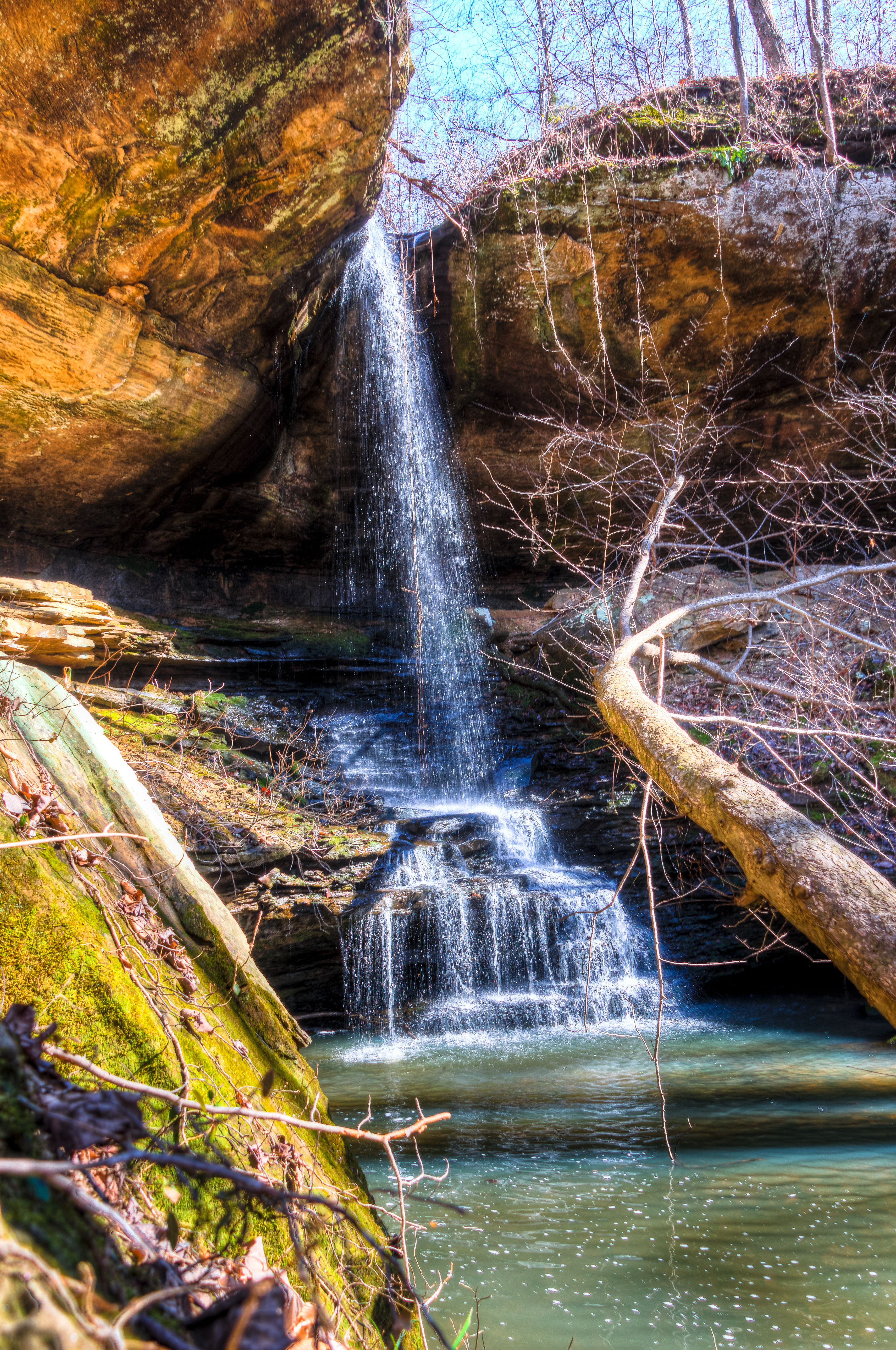
Cane Creek Canyon
Cane Creek Nature Preserve
Cane Creek Nature Preserve
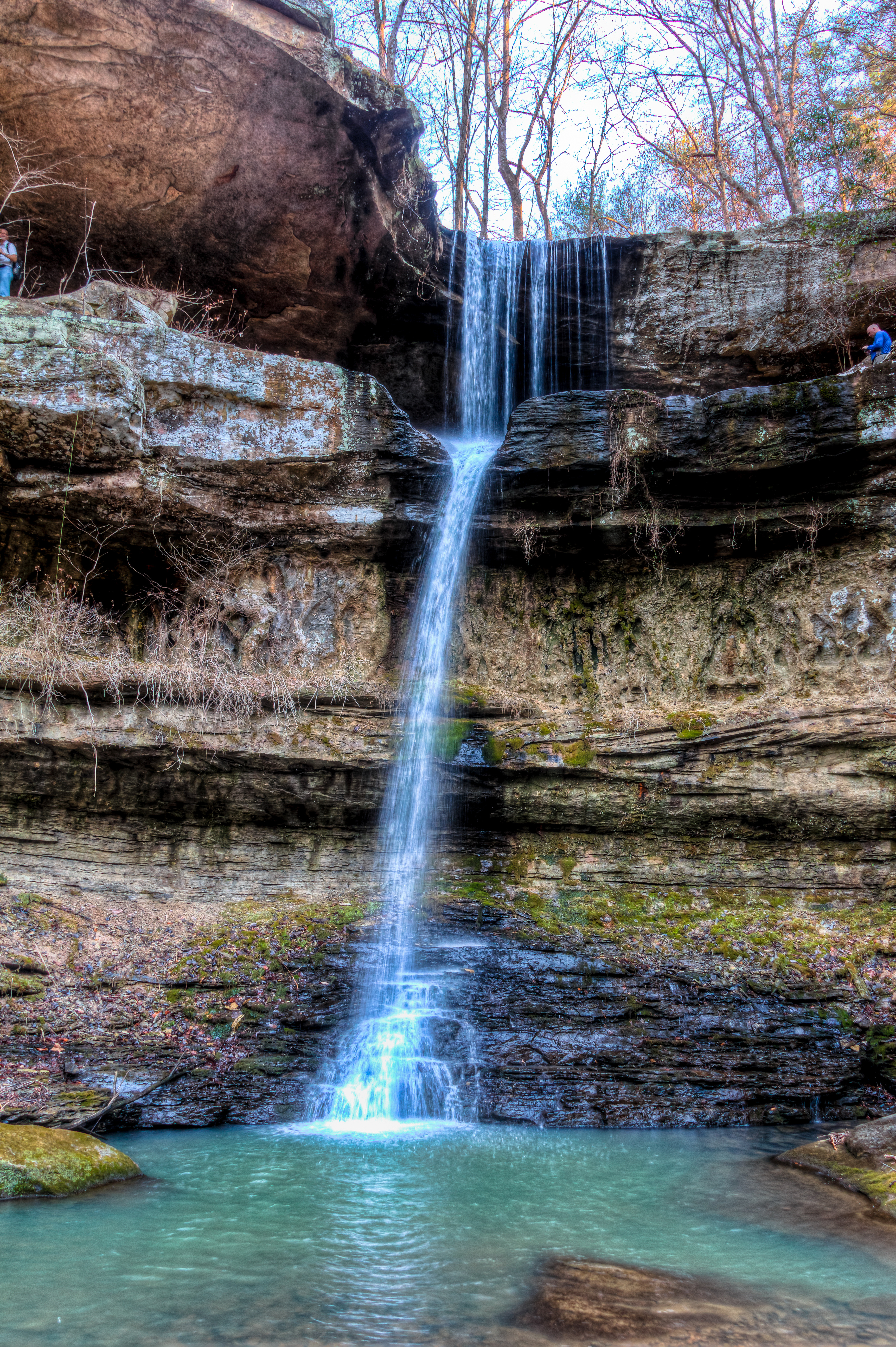
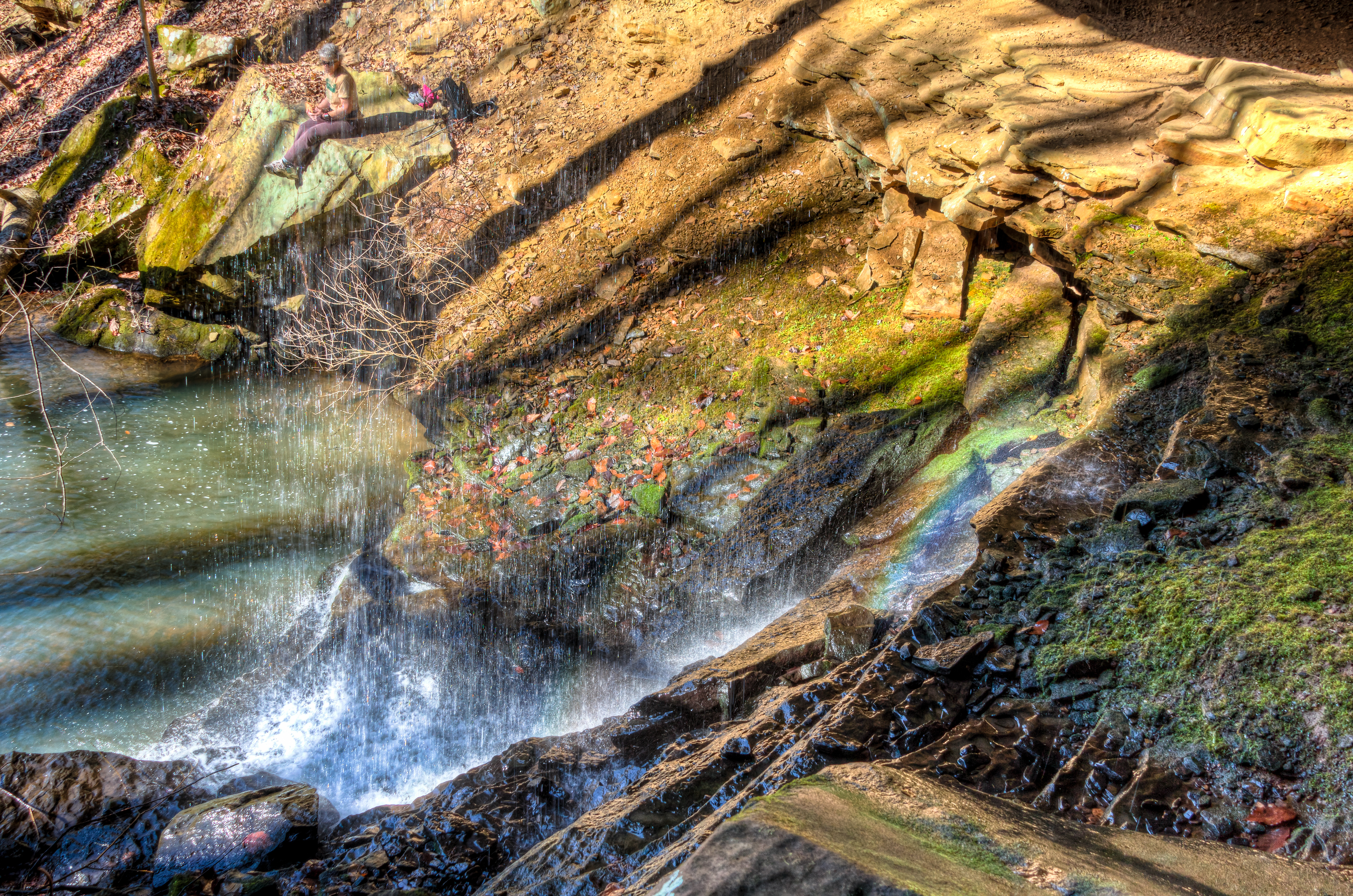
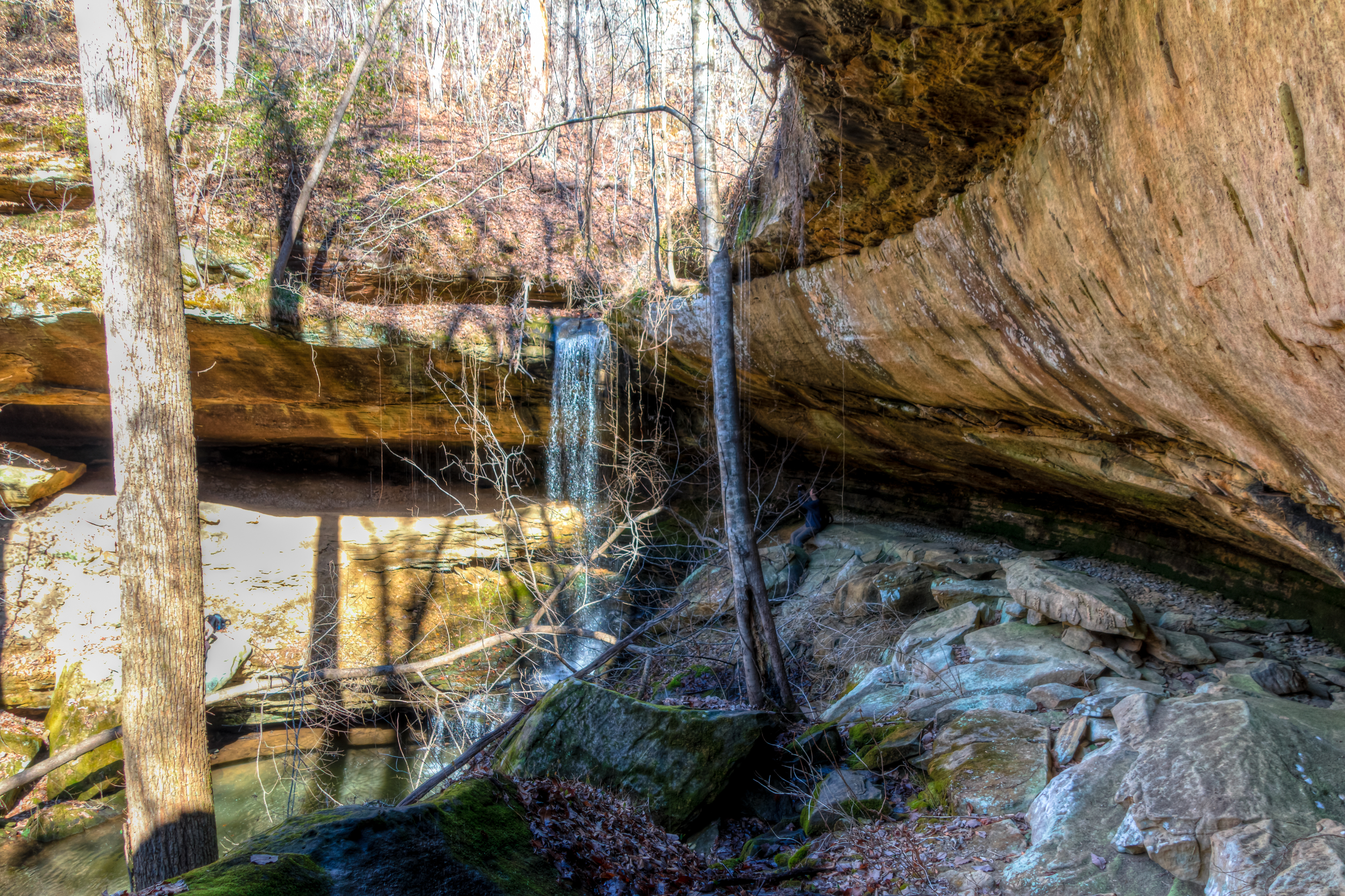
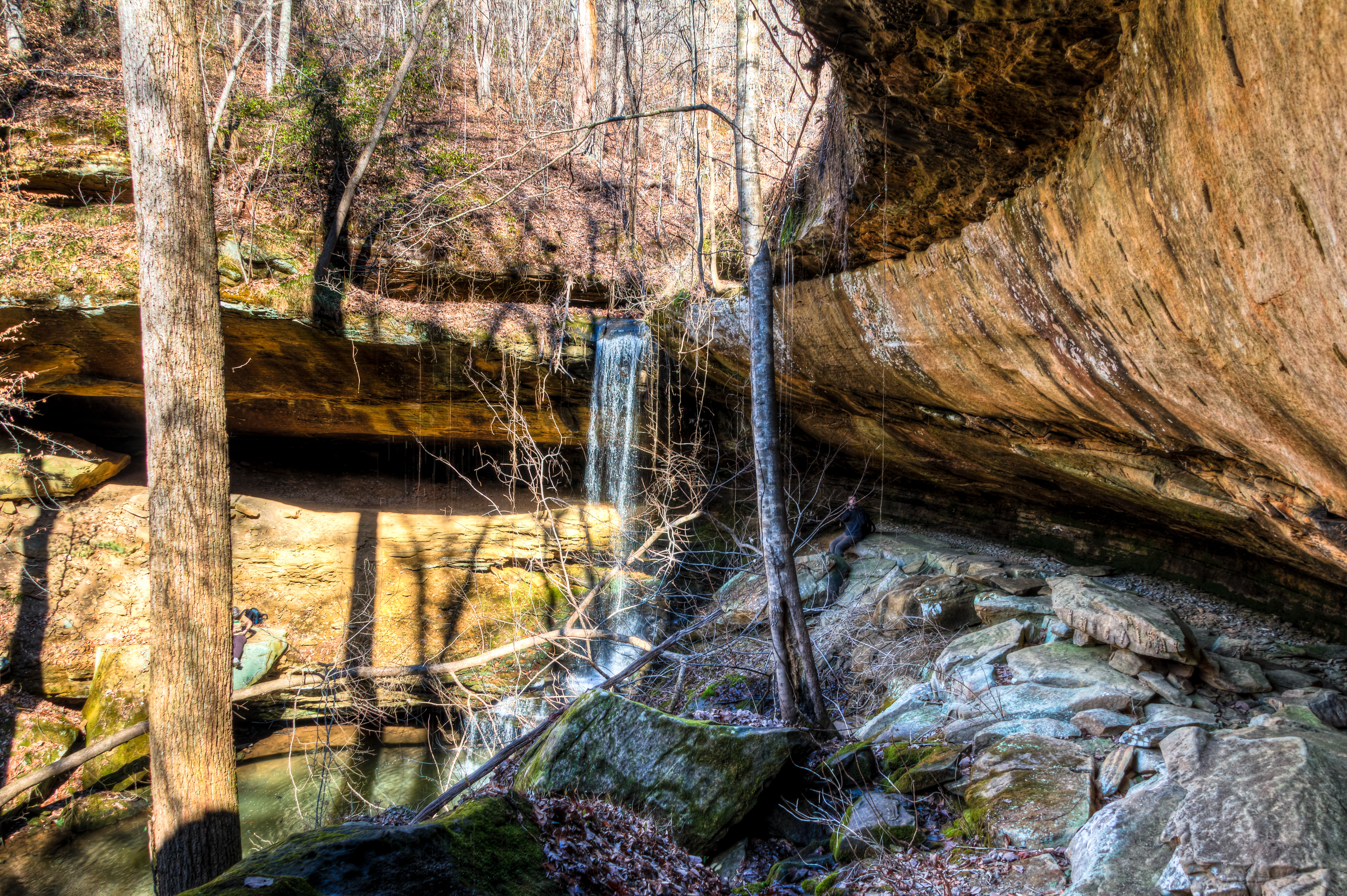
Lower Caney Creek Falls
Cane Creek Nature Preserve
Cane Creek Nature Preserve
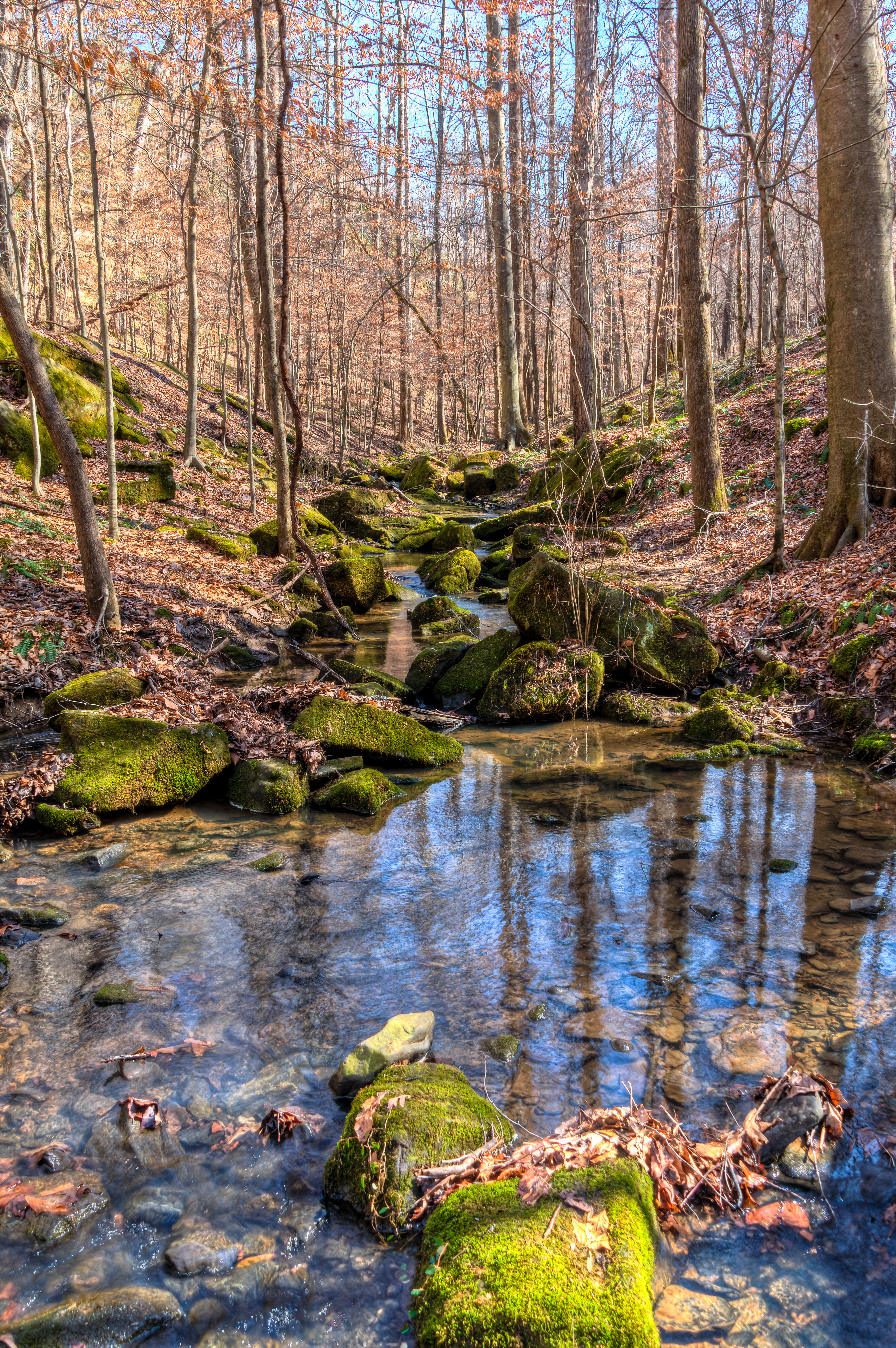
Cane Creek Nature Preserve

2014 November 10 Traveling Hwy 24 East toward Moulton Al
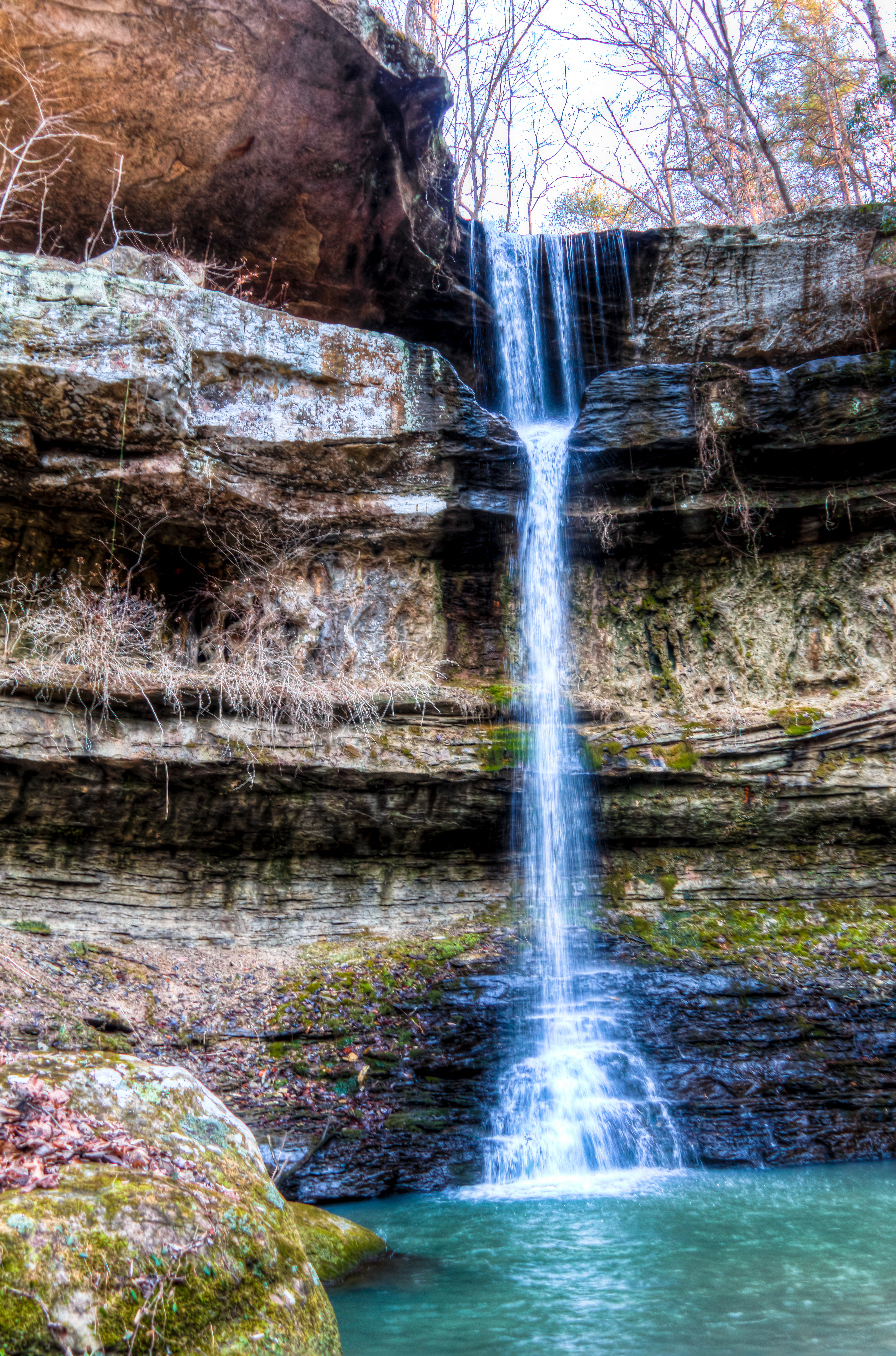
Cane Creek Nature Preserve
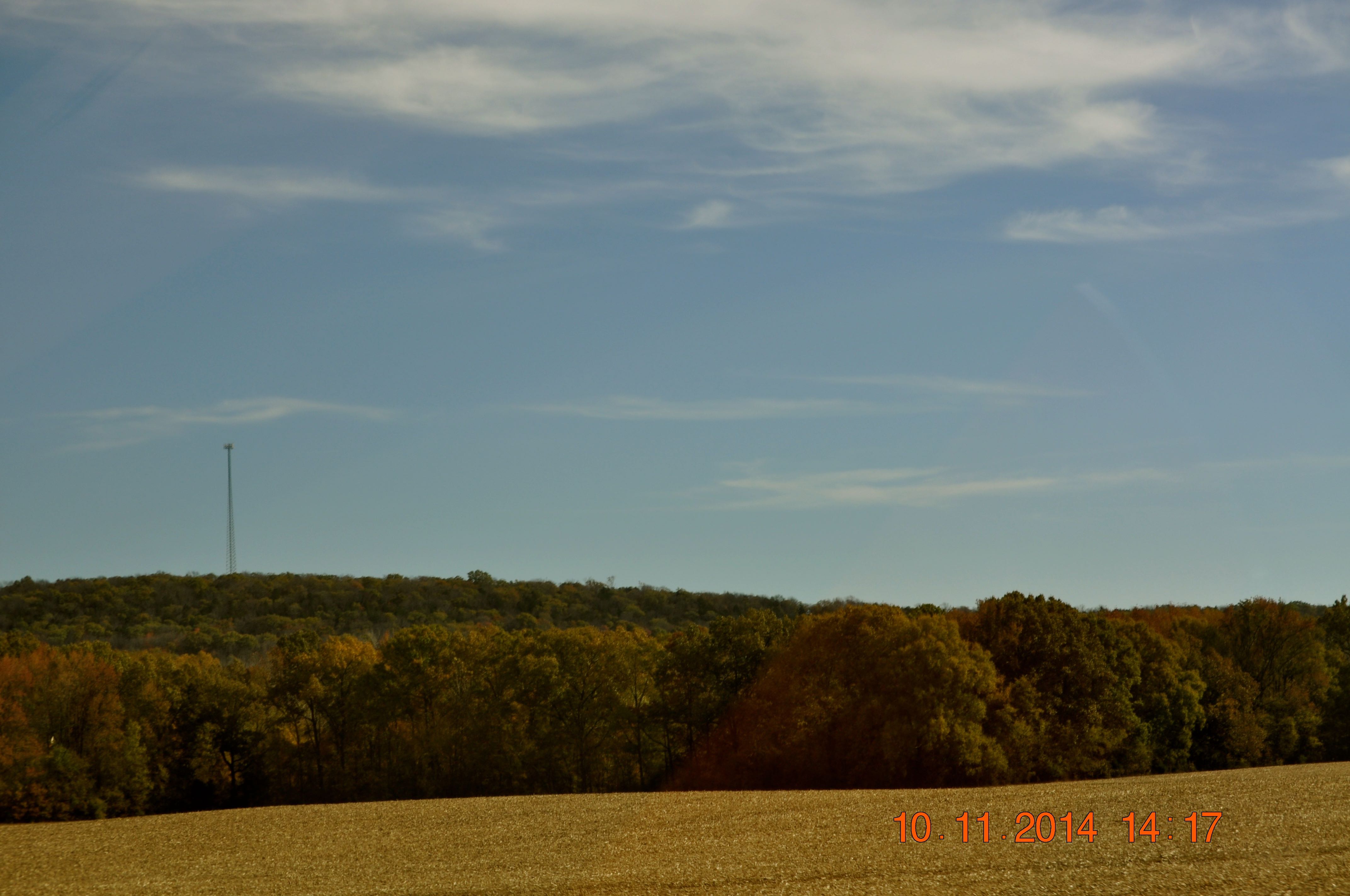
2014 November 10 Traveling Hwy 24 East toward Moulton Al
Cane Creek Nature Preserve
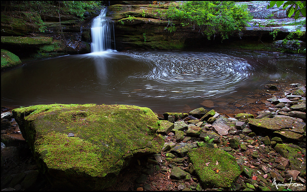
Cane Creek Canyon Nature Preserve
Cane Creek Nature Preserve
Cane Creek Nature Preserve
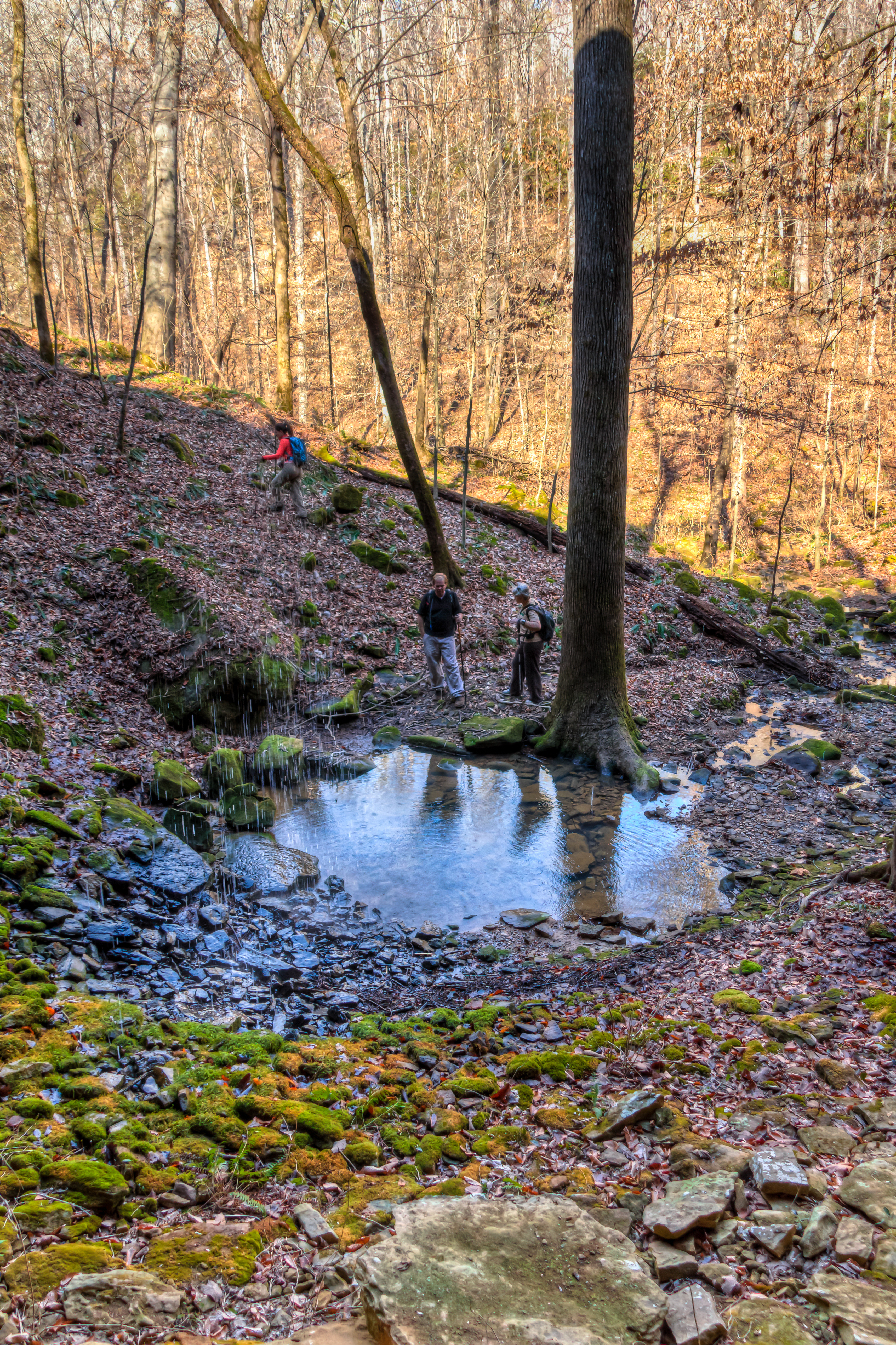
Cane Creek Nature Preserve

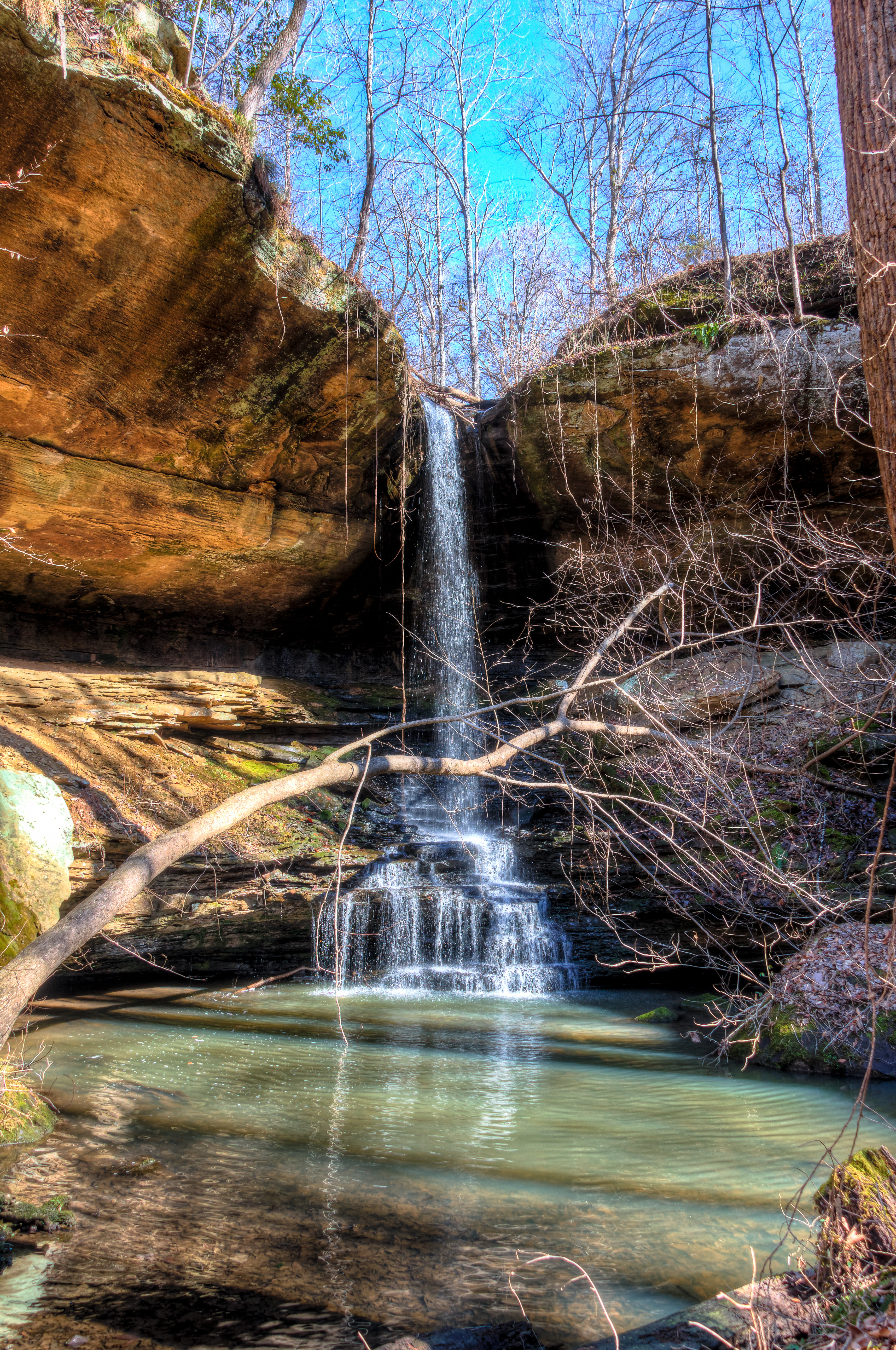
Under Crooked Oak
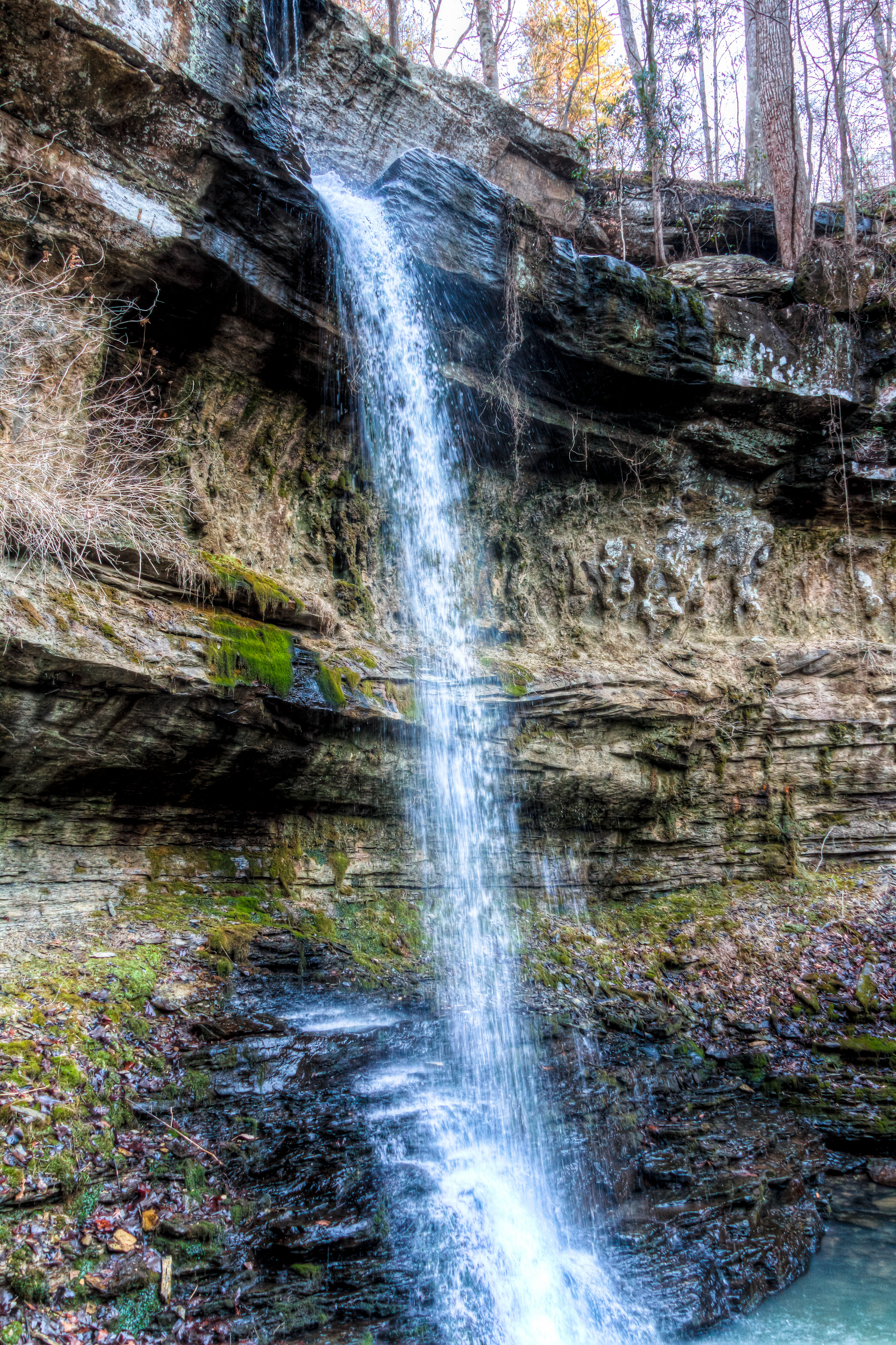
Cane Creek Nature Preserve
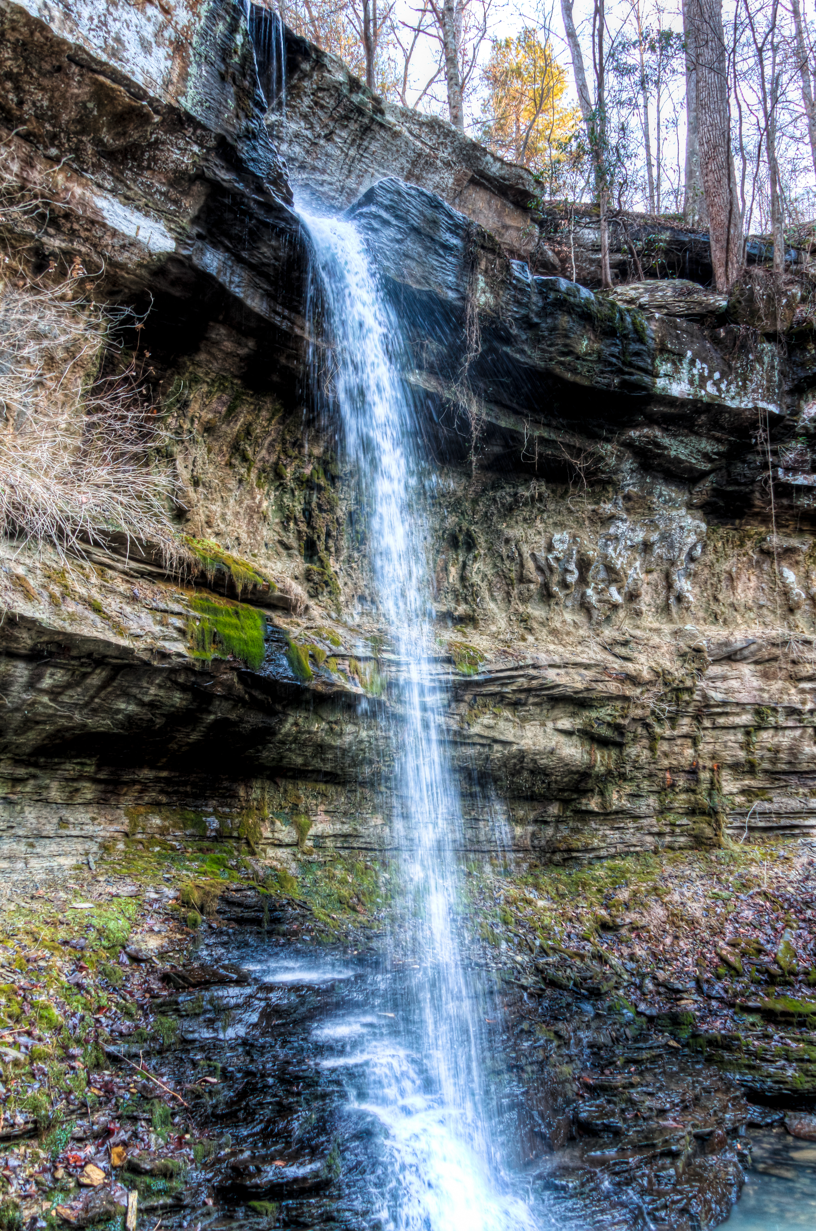
Cane Creek Nature Preserve
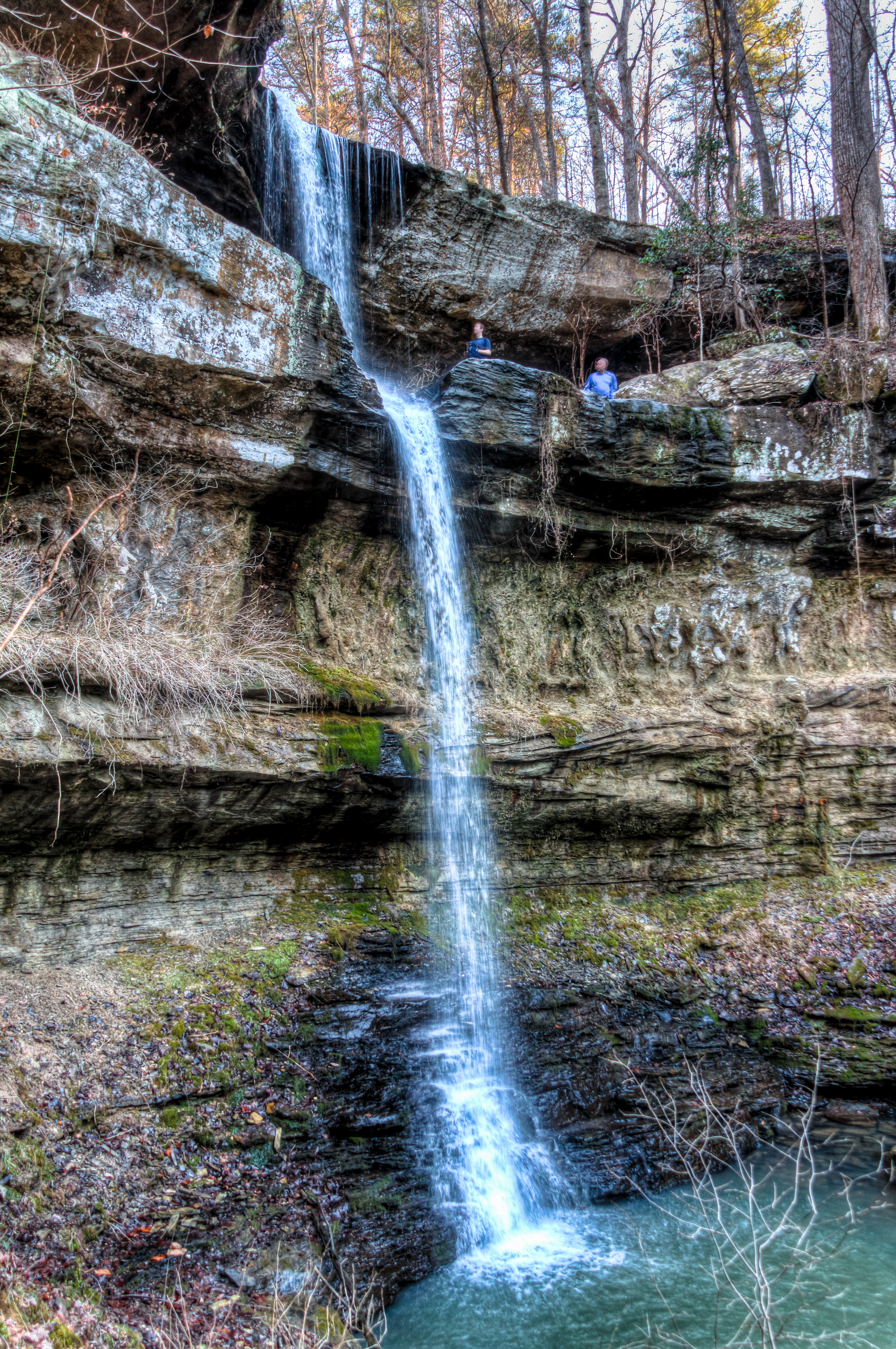
Cane Creek Nature Preserve
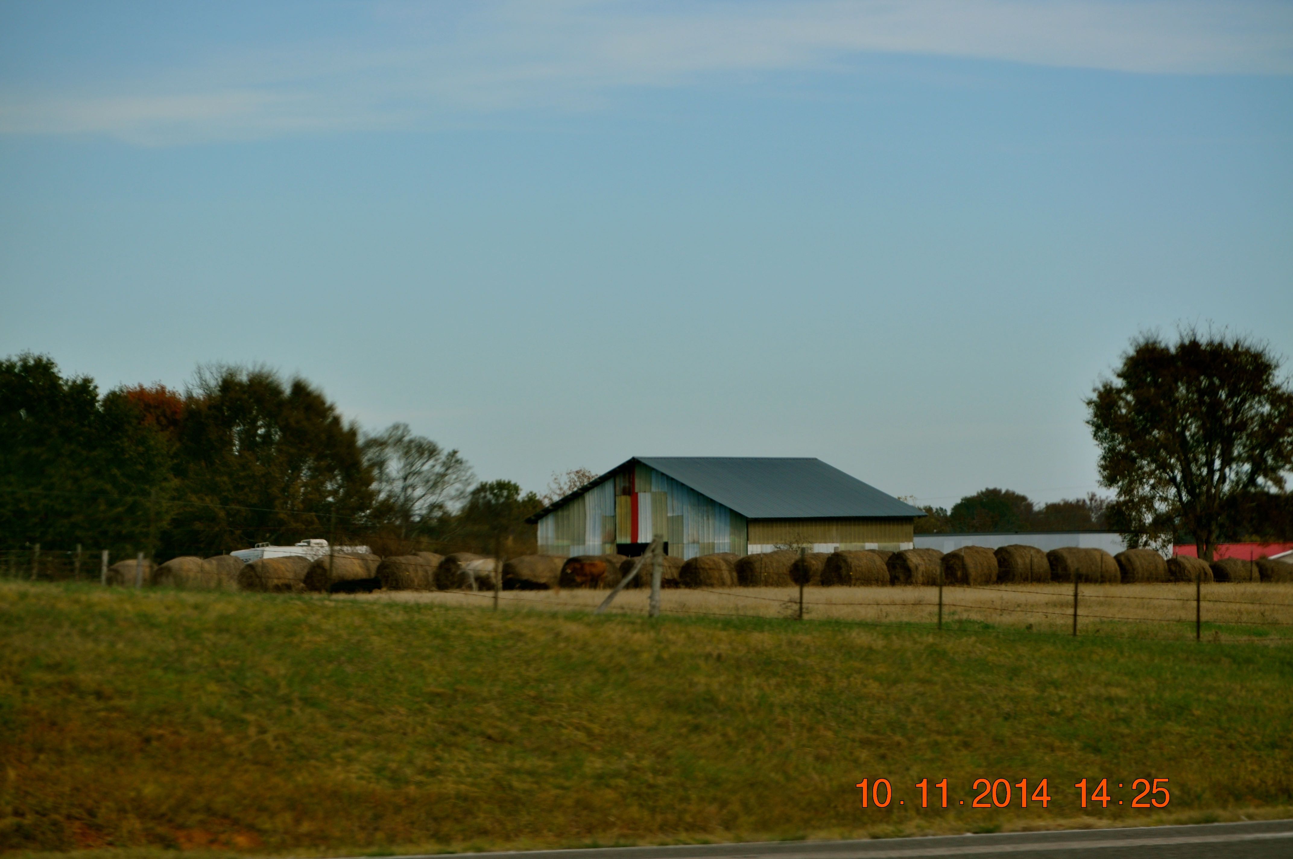
2014 November 10 Traveling Hwy 24 East toward Moulton Al
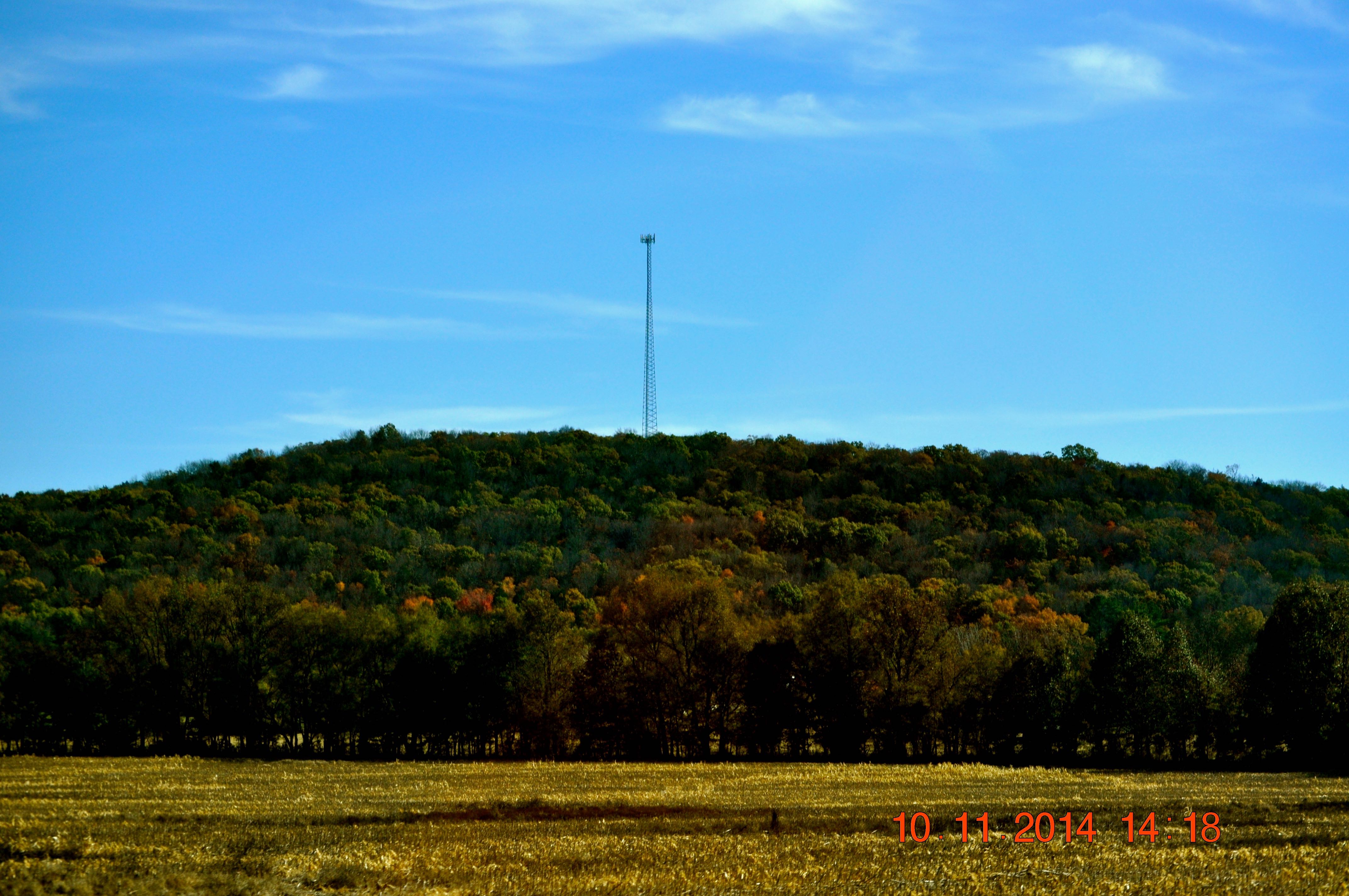
2014 November 10 Traveling Hwy 24 East toward Moulton Al
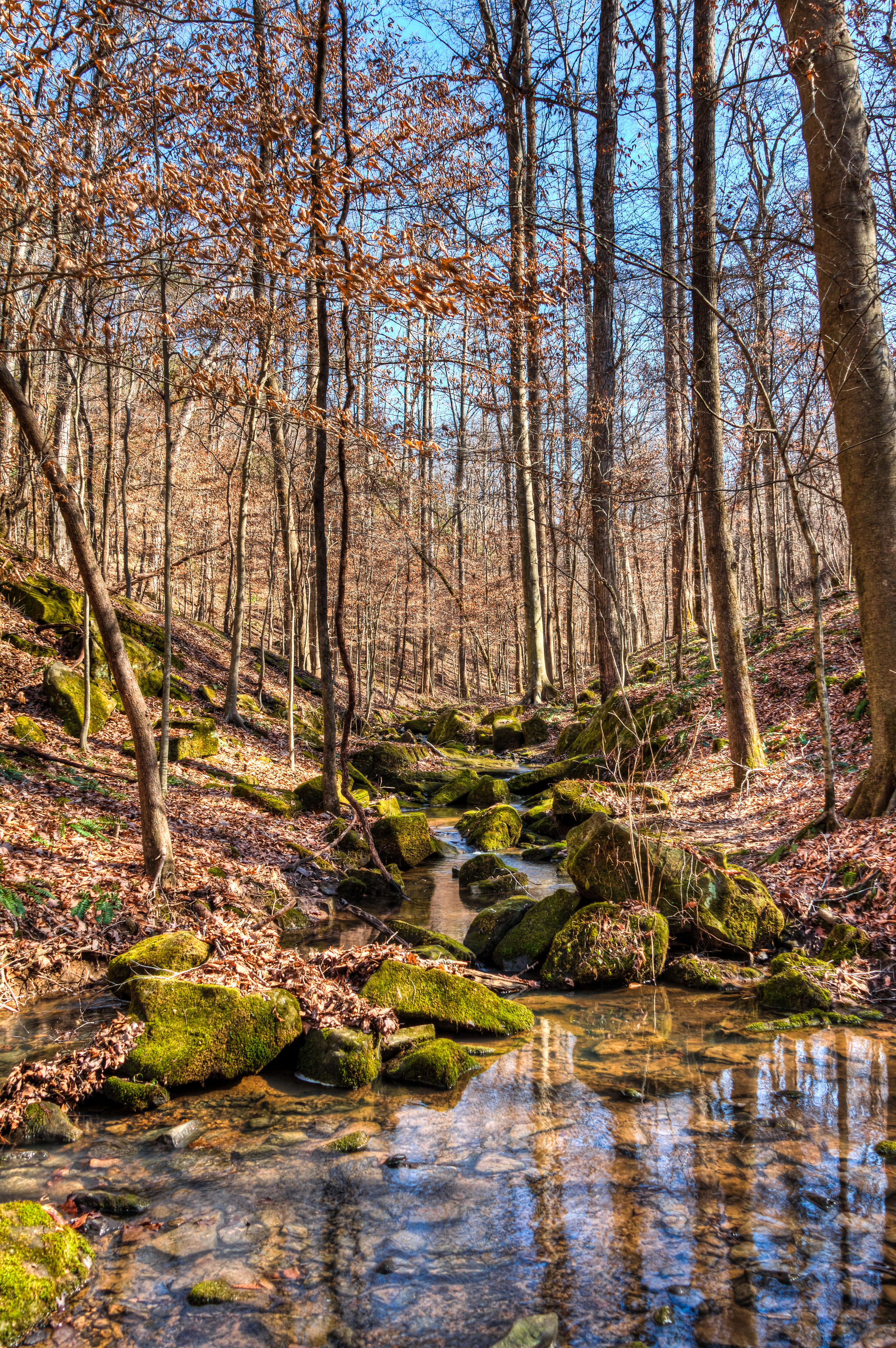
Cane Creek Nature Preserve
Topographic Map of Tim St, Russellville, AL, USA
Find elevation by address:

Places near Tim St, Russellville, AL, USA:
407 Tim St
Russellville
512 W Madison St
Polk St, Russellville, AL, USA
County Rd 48, Russellville, AL, USA
Mountain Star Rd, Russellville, AL, USA
Littleville
1350 Lime Rock Rd
Little Egypt Rd, Tuscumbia, AL, USA
US-43, Russellville, AL, USA
810 Little Egypt Rd
Little Egypt Road
1287 County Rd 177
1099 Frankfort Rd
195 Wayne Dr
Co Rd 55, Tuscumbia, AL, USA
New Bethel Rd, Tuscumbia, AL, USA
6847 Us-43
Colbert Heights High School
Spruce Pine
Recent Searches:
- Elevation of SW 57th Ave, Portland, OR, USA
- Elevation of Crocker Dr, Vacaville, CA, USA
- Elevation of Pu Ngaol Community Meeting Hall, HWHM+3X7, Krong Saen Monourom, Cambodia
- Elevation of Royal Ontario Museum, Queens Park, Toronto, ON M5S 2C6, Canada
- Elevation of Groblershoop, South Africa
- Elevation of Power Generation Enterprises | Industrial Diesel Generators, Oak Ave, Canyon Country, CA, USA
- Elevation of Chesaw Rd, Oroville, WA, USA
- Elevation of N, Mt Pleasant, UT, USA
- Elevation of 6 Rue Jules Ferry, Beausoleil, France
- Elevation of Sattva Horizon, 4JC6+G9P, Vinayak Nagar, Kattigenahalli, Bengaluru, Karnataka, India