Elevation of Tilakpur, Bihar, India
Location: India > Bihar > Bhagalpur >
Longitude: 86.7856208
Latitude: 25.2474566
Elevation: 39m / 128feet
Barometric Pressure: 101KPa
Elevation Map:
Satellite Map:
Related Photos:

Guys on Saraswadi Festival

Brother and Sister at Bateshwarsthan, Bihar, India
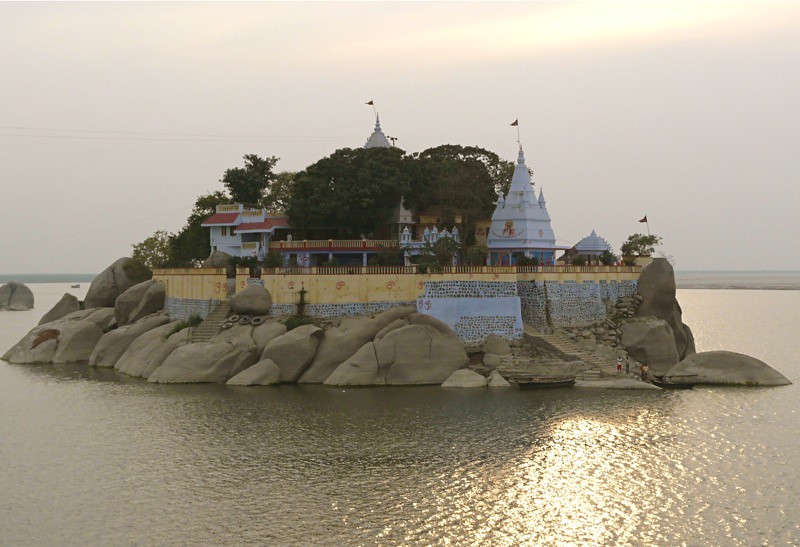
Ganges Temple Island near Bateshwarsthan, Bihar, India
Topographic Map of Tilakpur, Bihar, India
Find elevation by address:

Places near Tilakpur, Bihar, India:
Akbarnagar
Khanpur Lake.
English Khanpur
Bhagalpur
Lodipur Khurd
Gopalpur
Munger
Ismail Pur
Banka
Banka
Nagi Dam Pahar
Jhajha
Lakhisarai
Jamui
Poraiyahat Police Station
Lakhisarai
Pareya Hat
Saraiyahat
Mohanpur
Katban Chhit
Recent Searches:
- Elevation of Groblershoop, South Africa
- Elevation of Power Generation Enterprises | Industrial Diesel Generators, Oak Ave, Canyon Country, CA, USA
- Elevation of Chesaw Rd, Oroville, WA, USA
- Elevation of N, Mt Pleasant, UT, USA
- Elevation of 6 Rue Jules Ferry, Beausoleil, France
- Elevation of Sattva Horizon, 4JC6+G9P, Vinayak Nagar, Kattigenahalli, Bengaluru, Karnataka, India
- Elevation of Great Brook Sports, Gold Star Hwy, Groton, CT, USA
- Elevation of 10 Mountain Laurels Dr, Nashua, NH, USA
- Elevation of 16 Gilboa Ln, Nashua, NH, USA
- Elevation of Laurel Rd, Townsend, TN, USA