Elevation of Tiflet, Morocco
Location: Morocco > Rabat-salé-kénitra > Khemisset Province >
Longitude: -6.3207151
Latitude: 33.8954803
Elevation: 344m / 1129feet
Barometric Pressure: 97KPa
Elevation Map:
Satellite Map:
Related Photos:

Khemisset Province

Morocco - 935

Morocco - 937

On the road again Blue Agriculture Clear Sky Clear Sky Field Nature Rural Scene Growth Grass On The Road On The Road Again Travelling Mobilephotography Shootermag AMPt_community Vscocam VSCO Snapshots Of Life Snapseed AndroidPhotography Casual Visual Wit

Morocco-20131123-00076(iPhone 5)

Marokko 589

Cork oak bark drying, Meknes Morocco
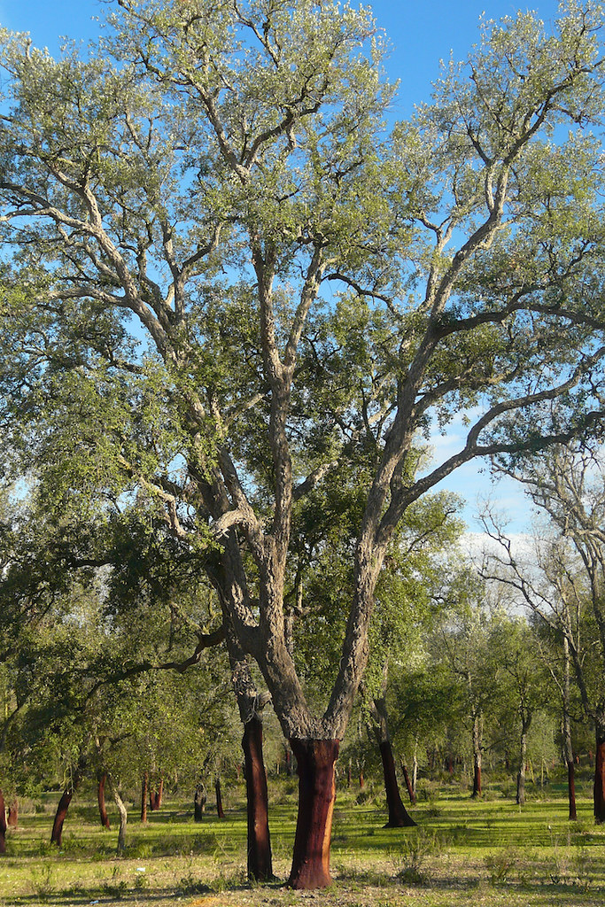
Cork oak with stripped bark, Meknes Morocco

Μαρόκο 143
Topographic Map of Tiflet, Morocco
Find elevation by address:

Places near Tiflet, Morocco:
Ait Belkacem
Khemisset Province
Ait Ichou
Ait Ichou
Rabat-salé-kénitra
Sale Al Jadida
Kenitra
Kenitra
Rabat - Sale Airport
Sale
Salé
Sidi Taibi
Bouknadel
Unnamed Road
Bafra Military Airport
Royal Golf De Dar Es Salam
Rabat
Sidi Slimane
Les Moulins Ain Attig
Temara
Recent Searches:
- Elevation of Lampiasi St, Sarasota, FL, USA
- Elevation of Elwyn Dr, Roanoke Rapids, NC, USA
- Elevation of Congressional Dr, Stevensville, MD, USA
- Elevation of Bellview Rd, McLean, VA, USA
- Elevation of Stage Island Rd, Chatham, MA, USA
- Elevation of Shibuya Scramble Crossing, 21 Udagawacho, Shibuya City, Tokyo -, Japan
- Elevation of Jadagoniai, Kaunas District Municipality, Lithuania
- Elevation of Pagonija rock, Kranto 7-oji g. 8"N, Kaunas, Lithuania
- Elevation of Co Rd 87, Jamestown, CO, USA
- Elevation of Tenjo, Cundinamarca, Colombia