Elevation of Tierra Heights Rd, Redding, CA, USA
Location: United States > California > Shasta County > Redding >
Longitude: -122.32761
Latitude: 40.6795437
Elevation: 229m / 751feet
Barometric Pressure: 99KPa
Elevation Map:
Satellite Map:
Related Photos:

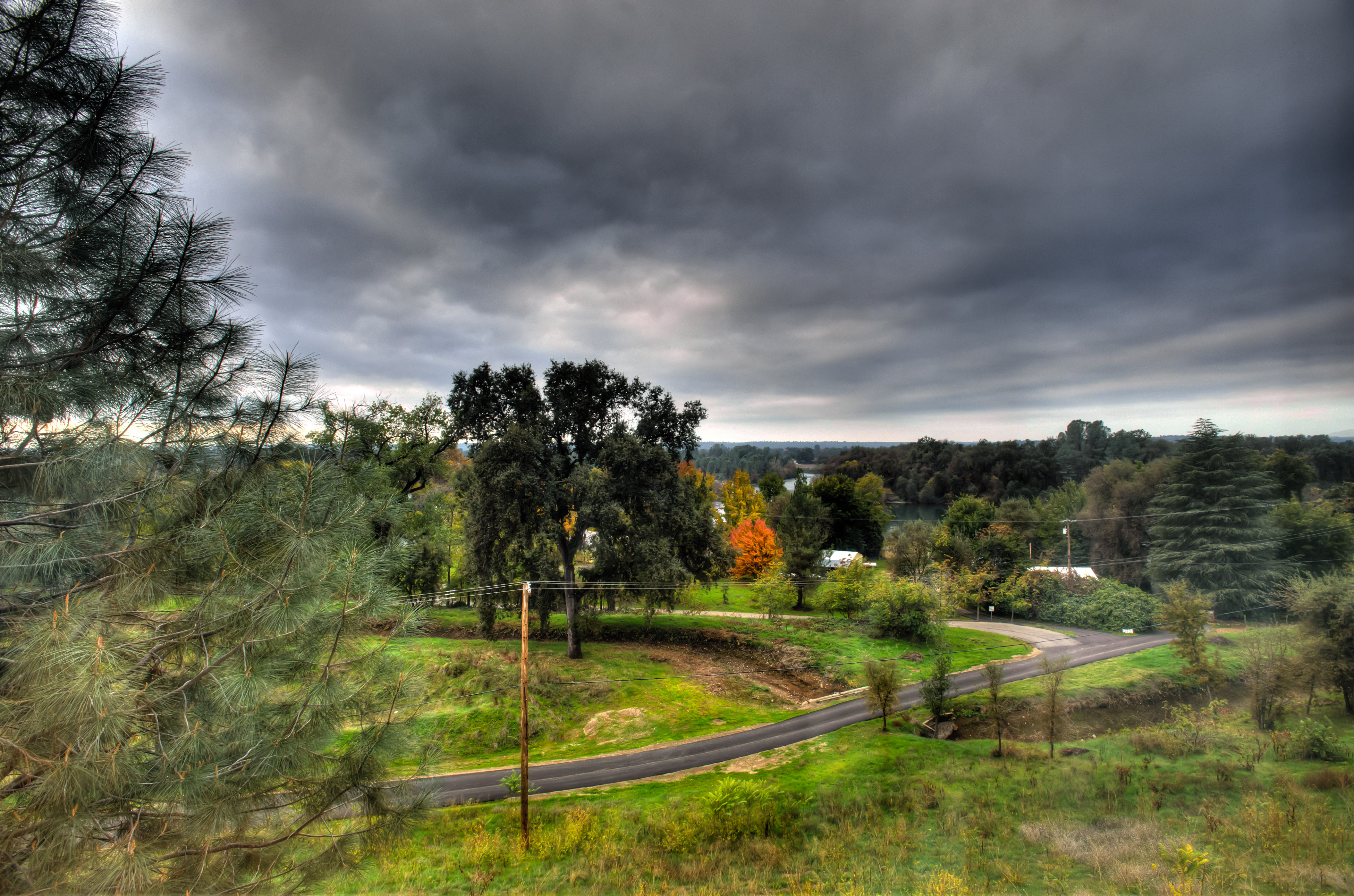
Sundial Bridge Lightning, The Sundial Bridge, Redding, CA

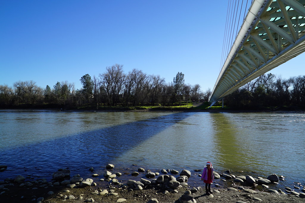
Sundial Bridge at Turtle Bay
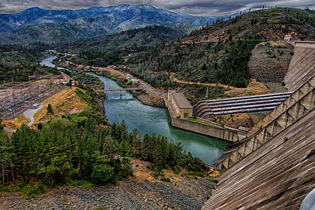
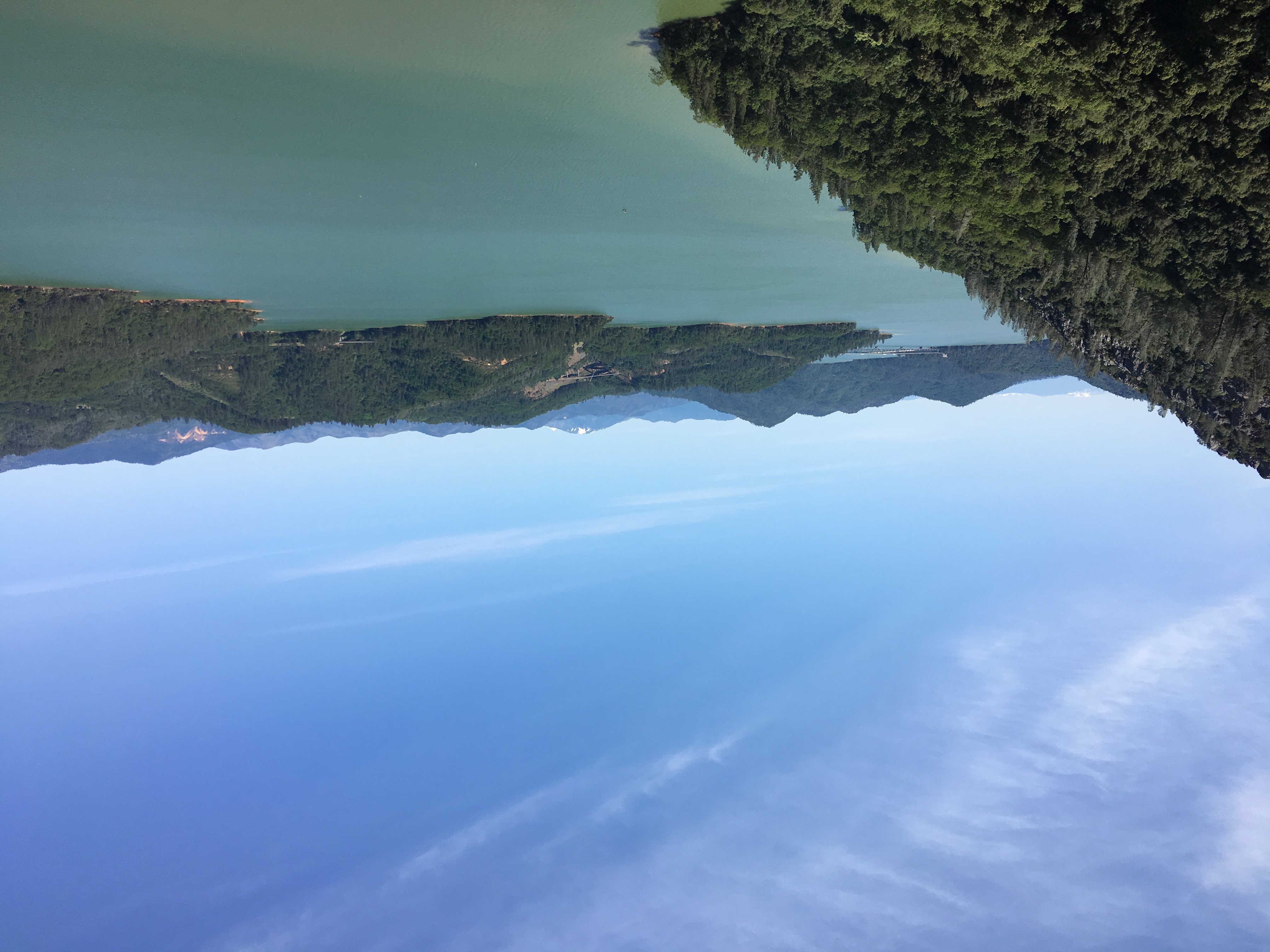
Shasta Dam Overlook 1533
Sundial Bridge, Redding

Self Portrait - 1
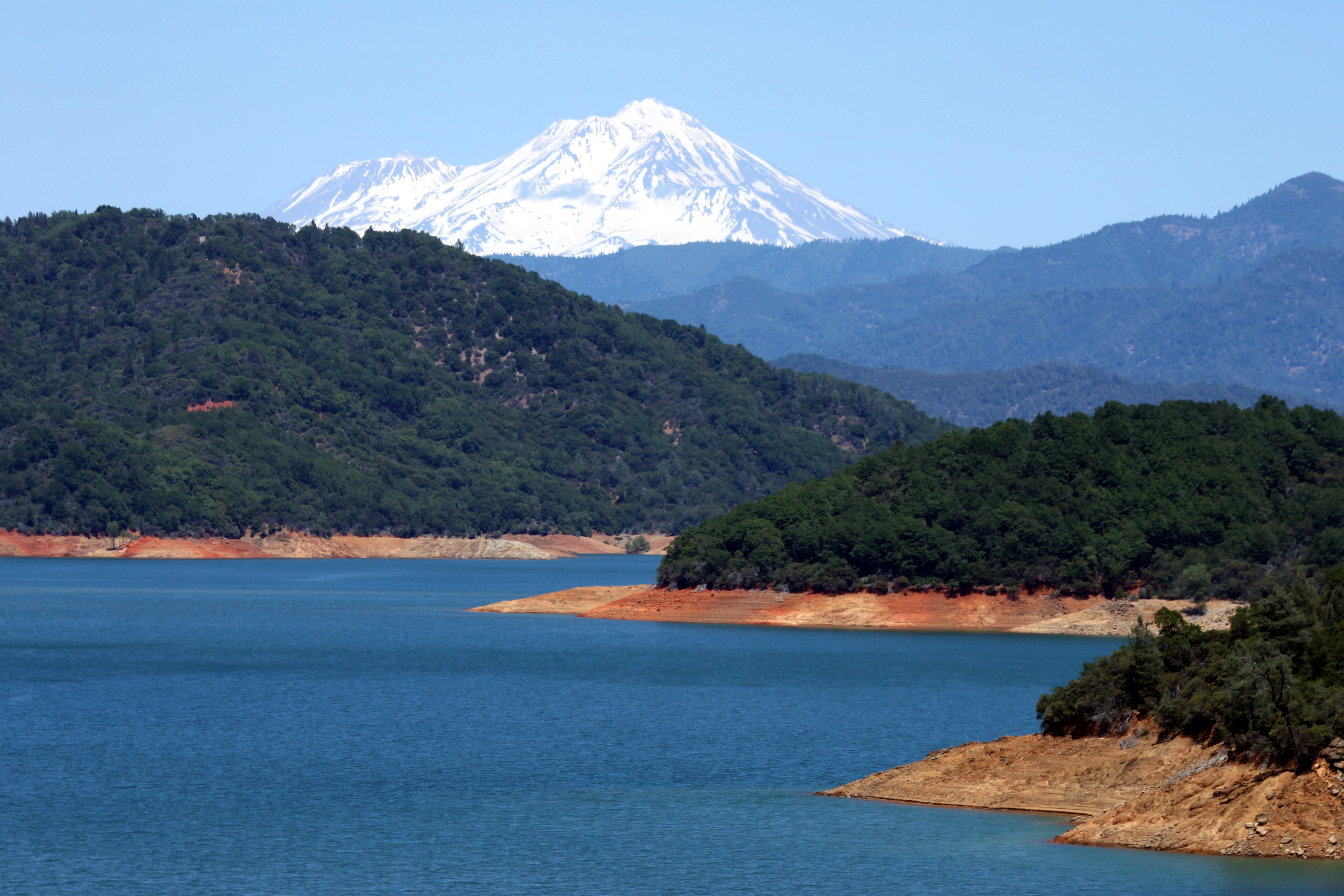
Mount Shasta

Mt. Shasta

Mt Lassen on the horizon

CHP - (135) Redding area N976HP
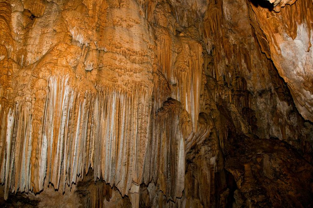
Inside the Caves

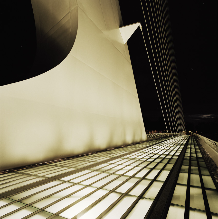
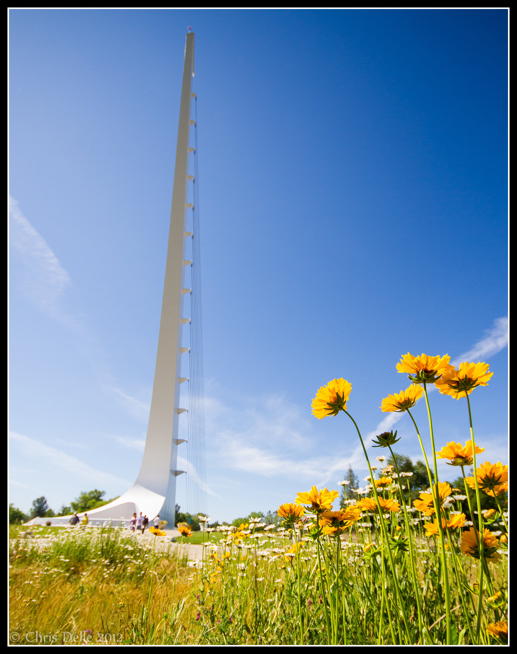
Calatrava's Sundial Bridge, Redding, California

Changed hotels. Here's the view from the room - sunset on the Sacramento River. #roadtrip #redding #california #hotel #view #Sacramento #river #instagold #instagood #instagram #igdaily #igaddicts #ipodtouch #ipod

Sunset over Sacramento River

Self Portrait - 3

View just now from the hotel room. #sunset #colorful #clouds #sky #evening #winter #redding #california #roadtrip #Creation #beauty #ipod #ipodtouch #igdaily #igaddicts #instagold #instagood #instagram

Mt. Shasta
Morning View

Self Portrait - 2

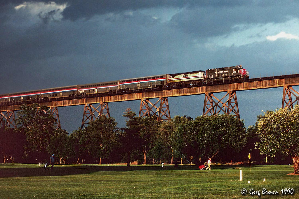
Redding, CASD59MX-UP 9900

Roberts_68 Sundial Bridge

UP9921-9900-9924
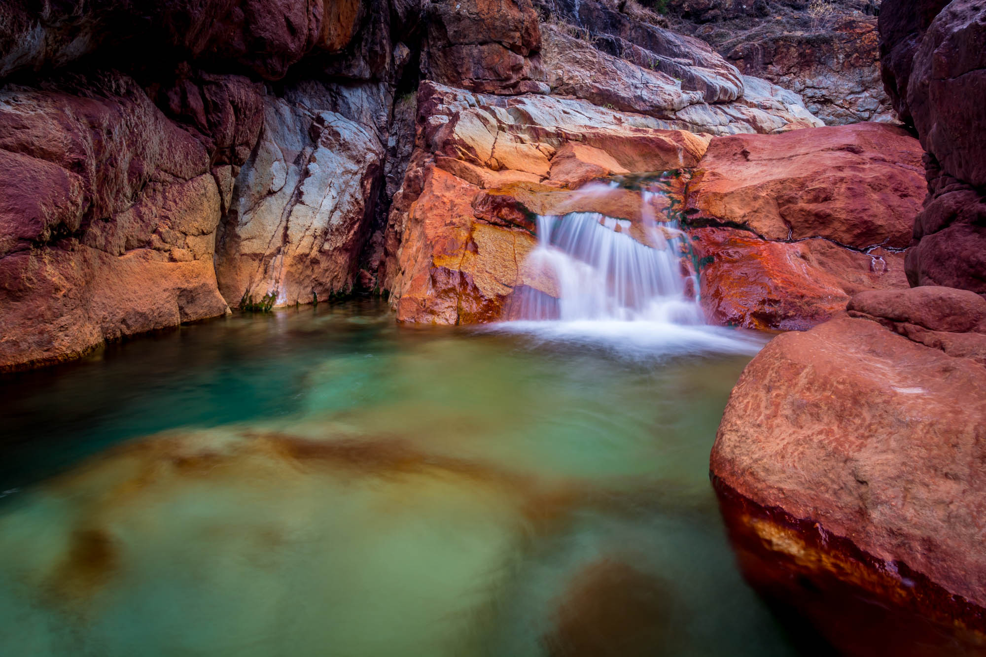
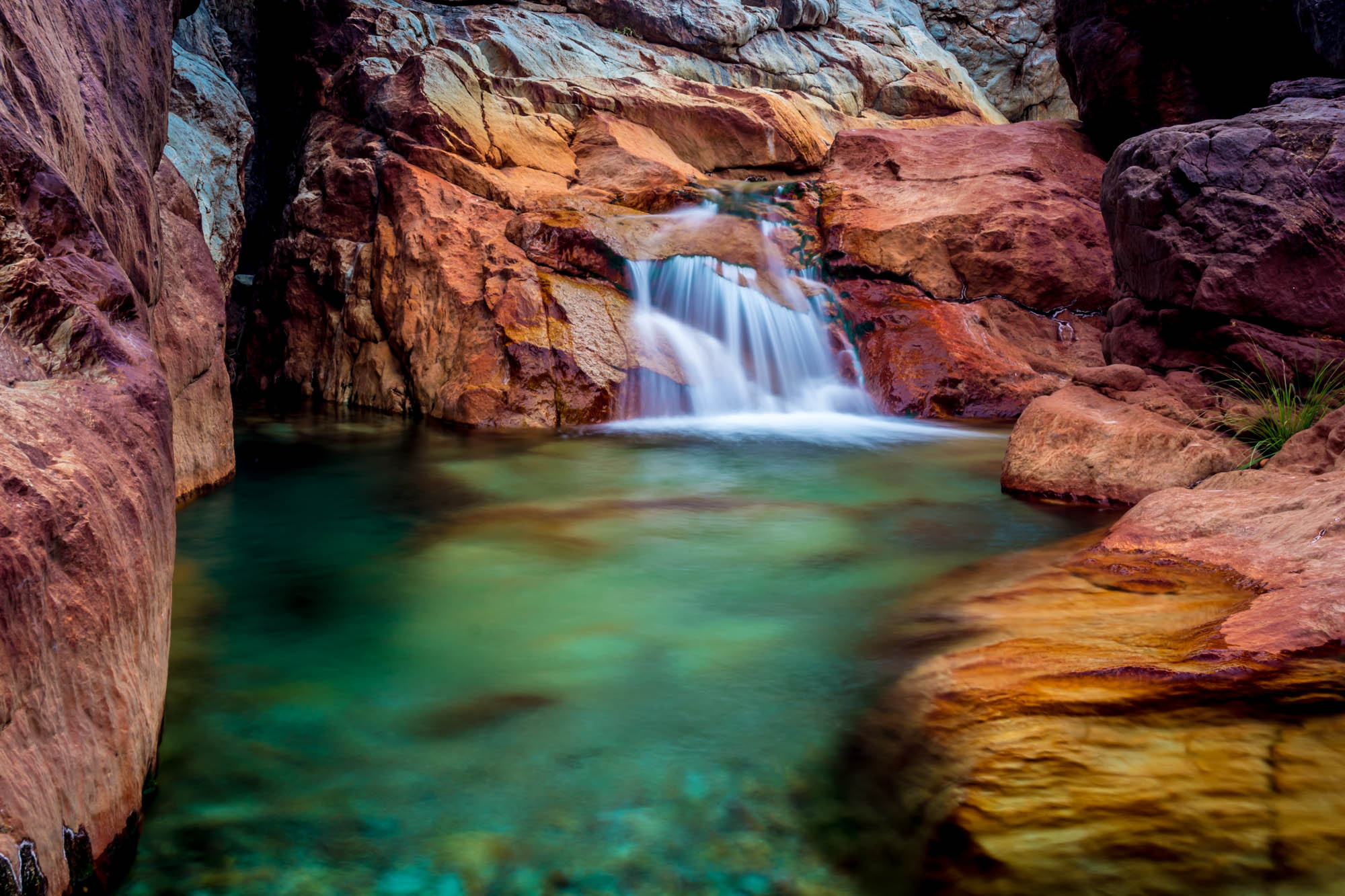
Crystal Clear - Shasta National Forest, CA, USA
Tears of Solitude
John iPhone Oct 25 2018 2018-08-17 023
Almost there

Hipstamatic Jones Valley
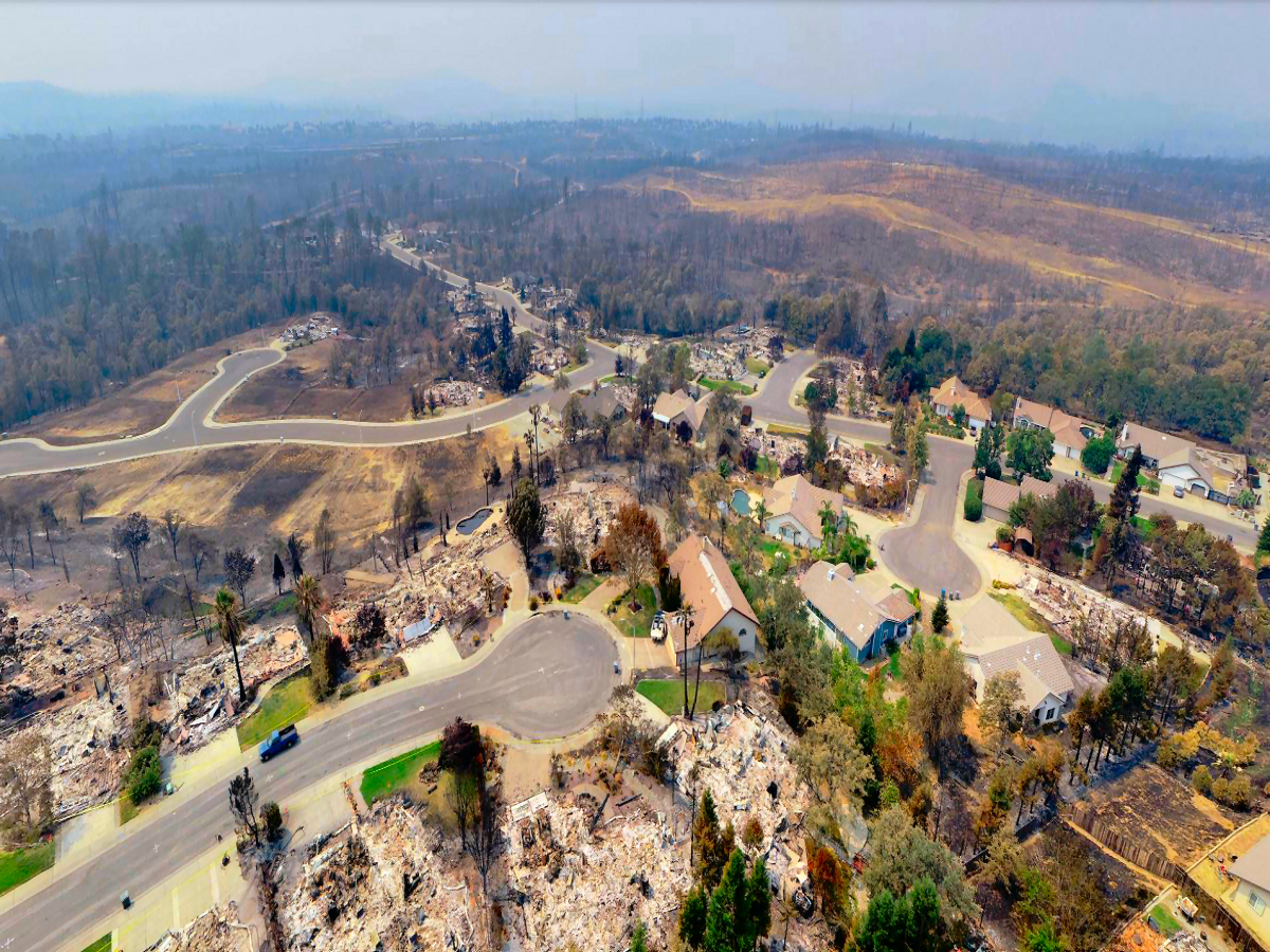
SERVPRO-Fire-Water-Damage-Biohazard-Cleaning-Restoration-Company-Redding-California-Photos-131
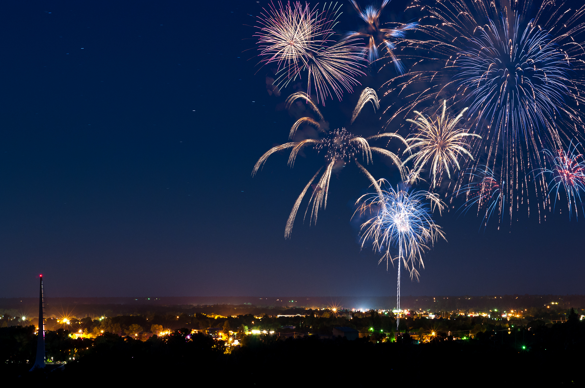
Redding 4th of July Fireworks

on a street nearby......#mylittleworld #horizon #landscape. #skyblazing
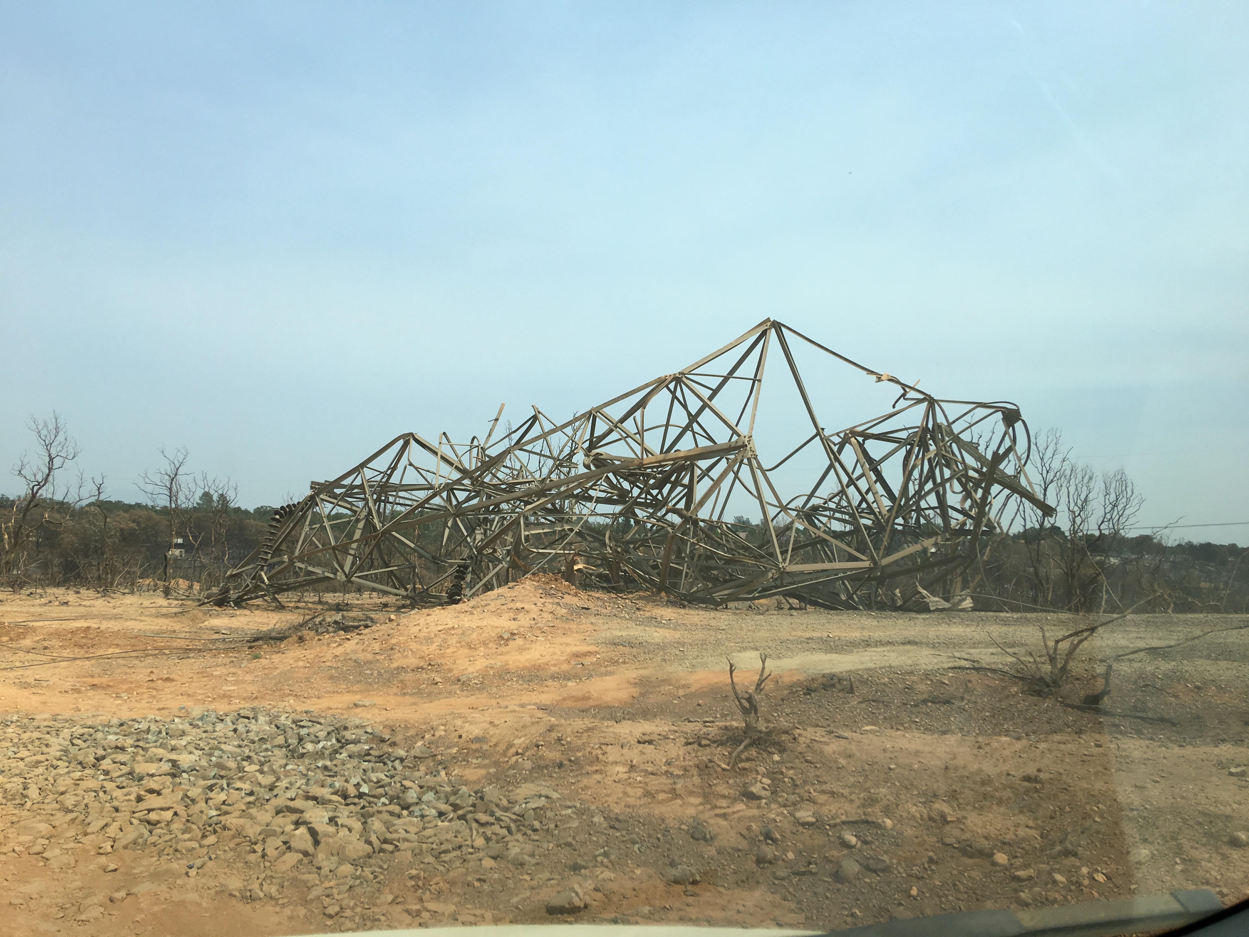
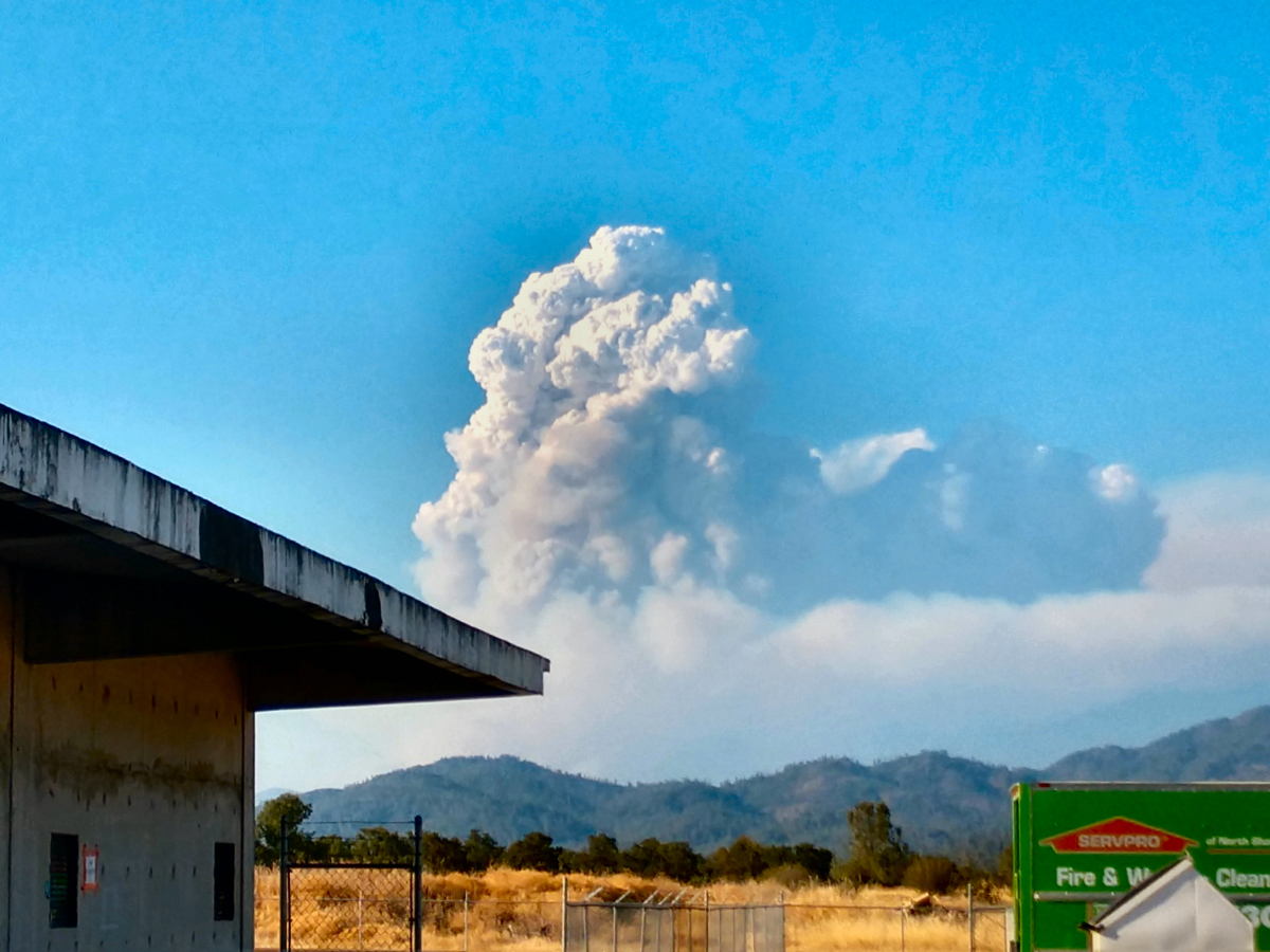
Carr-Fire-Redding-California-July-2018-19
Lights/abstract
46. Lake Shasta Caverns, Shasta, California

Sundial Bridge
Sunrise at Simpson [03.29.13]

Lake Sentinel
Shasta Dam Boulevard [03.28.13]
Sundial Spring

Flower Save the Hours
Mount Shasta

A Path of Exploration and Learning - Turtle Bay Exploration Park - Redding, Shasta County, California
Topographic Map of Tierra Heights Rd, Redding, CA, USA
Find elevation by address:

Places near Tierra Heights Rd, Redding, CA, USA:
19614 Natalie Way
Union School Road
10527 Bear Mountain Rd
13630 Echo Hill Rd
13656 Echo Hill Rd
13278 Bear Mountain Rd
1517 Bear Mountain Rd
1517 Bear Mountain Rd
14284 Indian Acres Trail
12763 Encanto Way
12616 Los Osos St
12600 Akrich St
Flintstone Road
Bass Drive
13416 Luna Dr
Mountain Gate
19517 Tunnel Rd
Grey Rock Way, Redding, CA, USA
20920 Dorothy Ln
13706 Four Oaks Ct
Recent Searches:
- Elevation of 64 Danakas Dr, Winnipeg, MB R2C 5N7, Canada
- Elevation of 4 Vale Rd, Sheffield S3 9QX, UK
- Elevation of Keene Point Drive, Keene Point Dr, Grant, AL, USA
- Elevation of State St, Zanesville, OH, USA
- Elevation of Austin Stone Dr, Haslet, TX, USA
- Elevation of Bydgoszcz, Poland
- Elevation of Bydgoszcz, Poland
- Elevation of Calais Dr, Del Mar, CA, USA
- Elevation of Placer Mine Ln, West Jordan, UT, USA
- Elevation of E 63rd St, New York, NY, USA