Elevation map of Tierra del Fuego, Magallanes y la Antártica Chilena Region, Chile
Location: Chile > Magallanes Y La Antártica Chilena Region > Tierra Del Fuego Province >
Longitude: -70
Latitude: -54
Elevation: 169m / 554feet
Barometric Pressure: 99KPa
Elevation Map:
Satellite Map:
Related Photos:
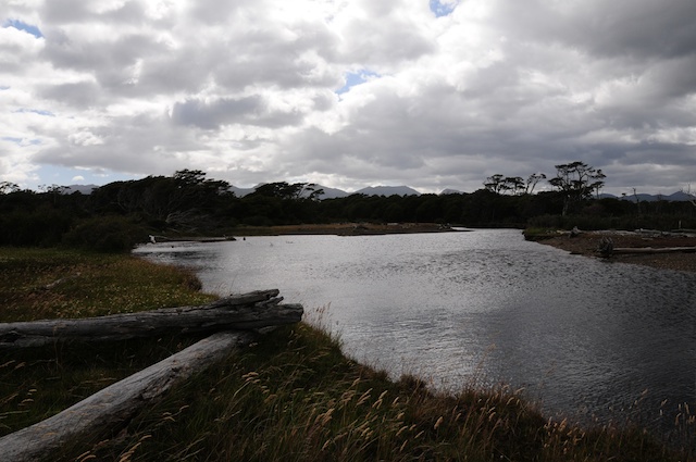
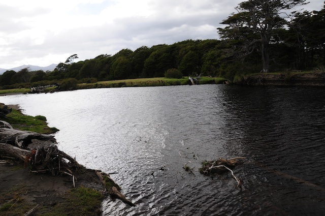
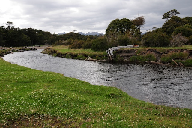
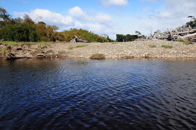
BCW_5637
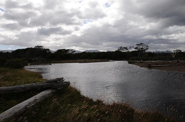
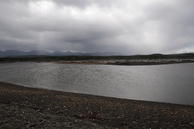
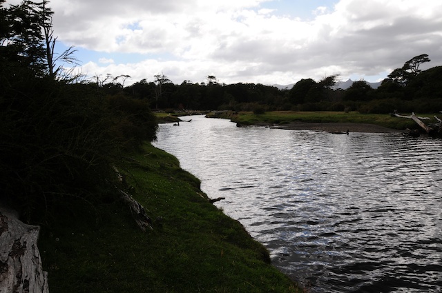
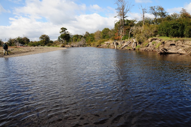
BCW_5638

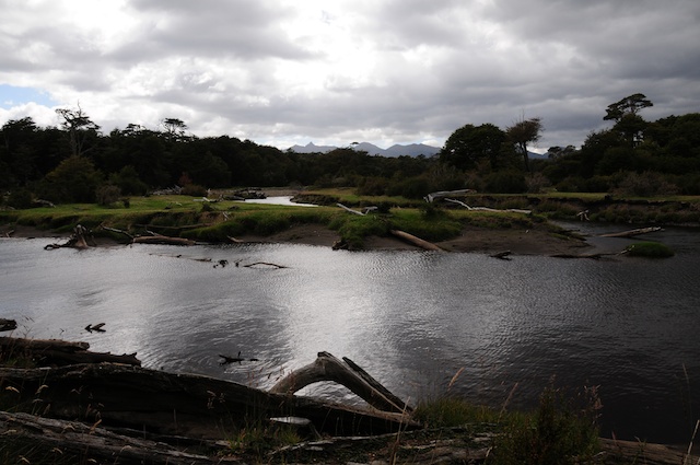
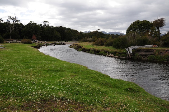
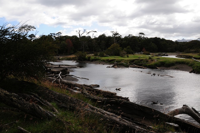
BCW_5636

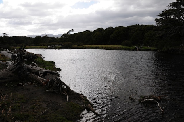
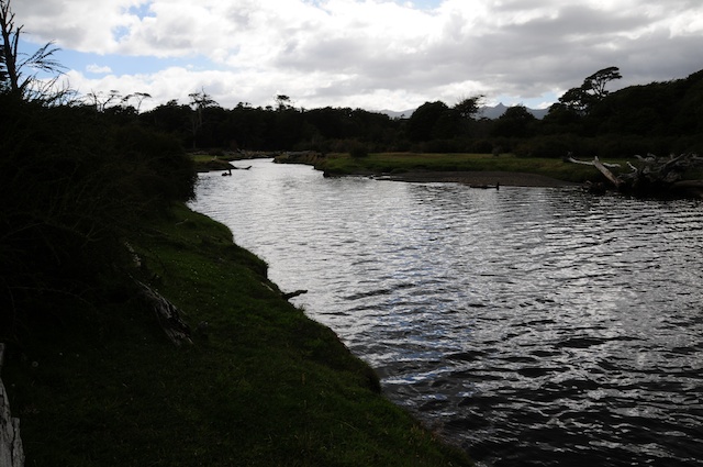
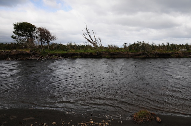
BCW_5775
BCW_5670
BCW_5659
BCW_5658
BCW_5590

BCW_5591

BCW_5651
BCW_5682
BCW_5664

BCW_5631
BCW_5681
BCW_5665
BCW_5672

BCW_5588

BCW_5784
BCW_5649
BCW_5783
BCW_5785
Topographic Map of Tierra del Fuego, Magallanes y la Antártica Chilena Region, Chile
Find elevation by address:

Places near Tierra del Fuego, Magallanes y la Antártica Chilena Region, Chile:
Recent Searches:
- Elevation of 3 Nestling Wood Dr, Long Valley, NJ, USA
- Elevation of Ilungu, Tanzania
- Elevation of Yellow Springs Road, Yellow Springs Rd, Chester Springs, PA, USA
- Elevation of Rēzekne Municipality, Latvia
- Elevation of Plikpūrmaļi, Vērēmi Parish, Rēzekne Municipality, LV-, Latvia
- Elevation of 2 Henschke Ct, Caboolture QLD, Australia
- Elevation of Redondo Ave, Long Beach, CA, USA
- Elevation of Sadovaya Ulitsa, 20, Rezh, Sverdlovskaya oblast', Russia
- Elevation of Ulitsa Kalinina, 79, Rezh, Sverdlovskaya oblast', Russia
- Elevation of 72-31 Metropolitan Ave, Middle Village, NY, USA