Elevation of Tidemaster Homeowners Association, S Ocean Blvd, North Myrtle Beach, SC, USA
Location: United States > South Carolina > Horry County > North Myrtle Beach >
Longitude: -78.678783
Latitude: 33.81592
Elevation: 3m / 10feet
Barometric Pressure: 101KPa
Elevation Map:
Satellite Map:
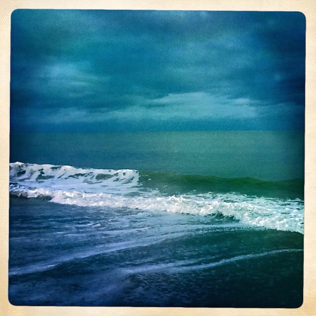
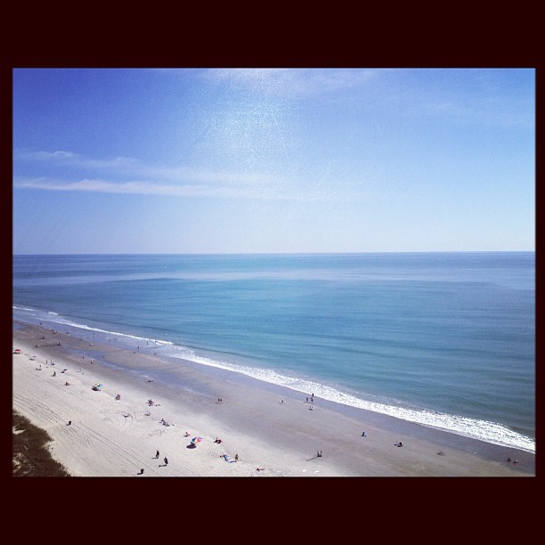
Related Photos:

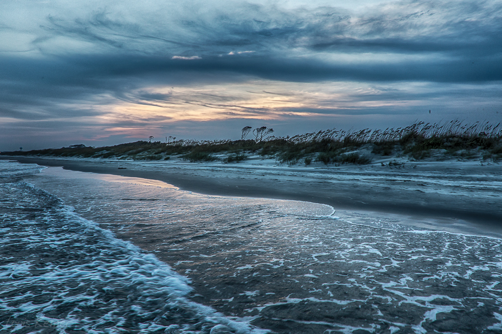
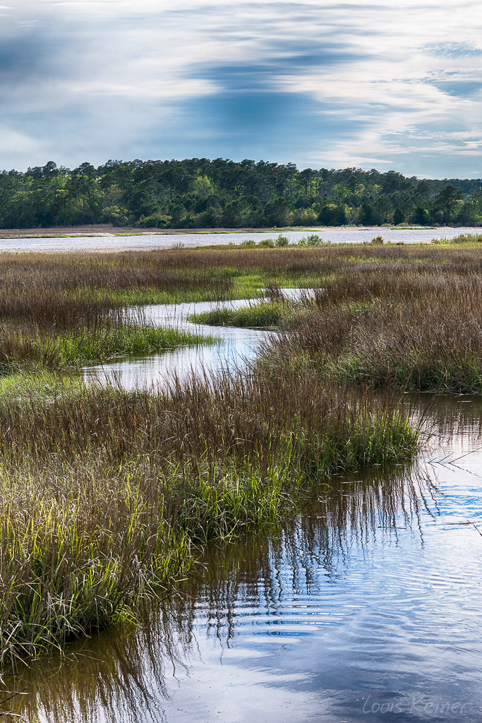
Day 901 - Sunset Over The Marsh
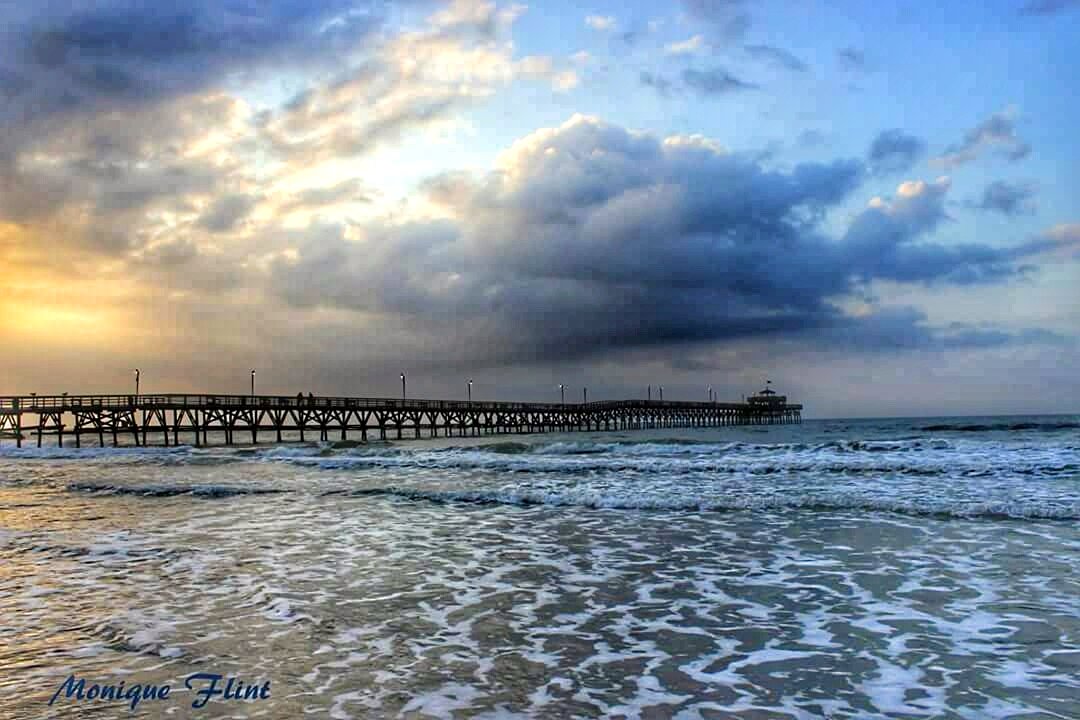
Morning at the Pier

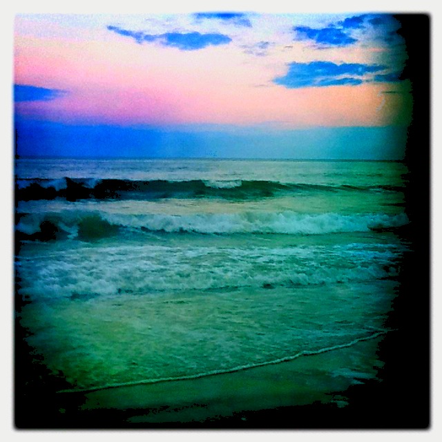
Great way to start the day #sunrise
Beach gallery-1

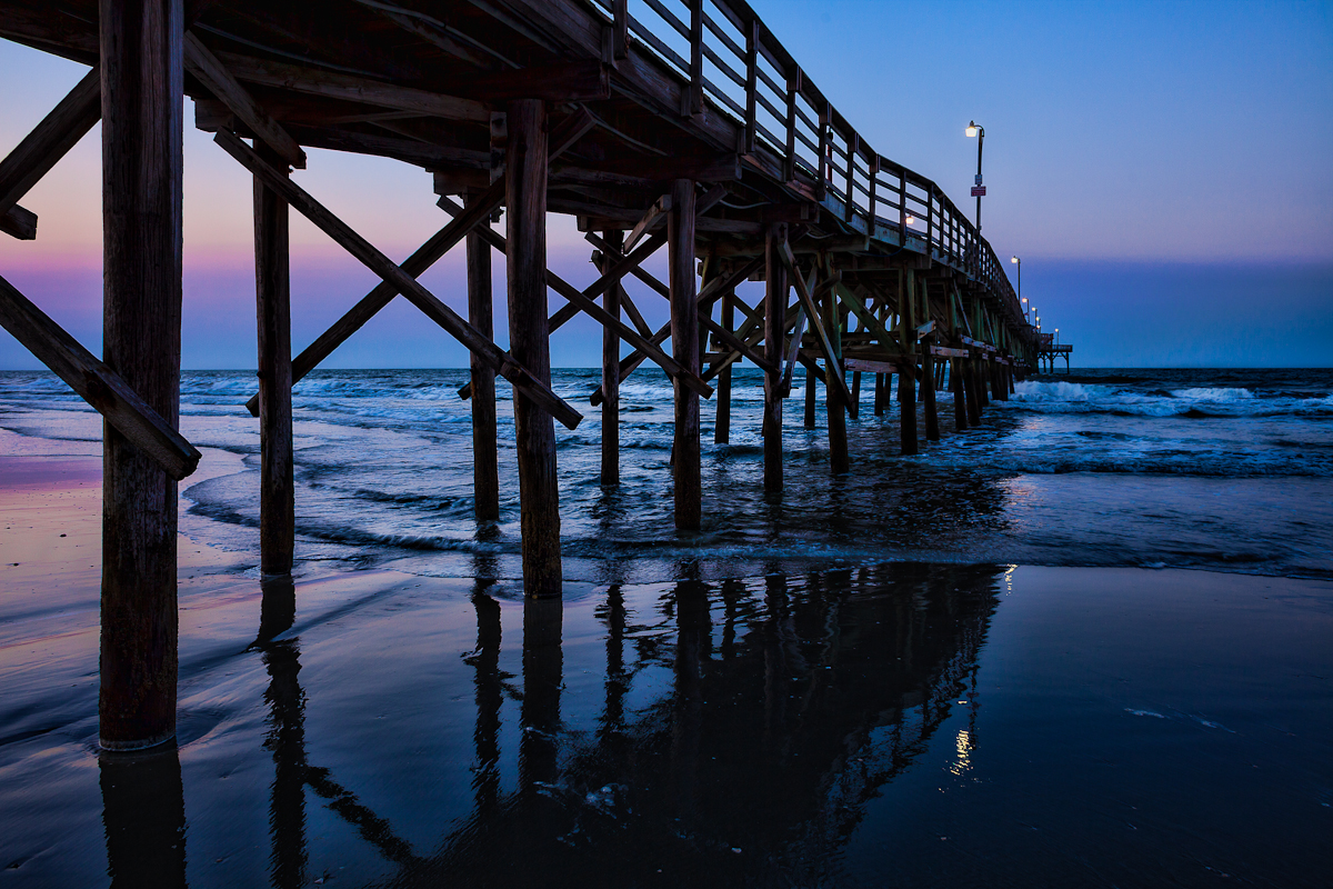
Under the Pier
Cherry Grove Pier
LK_20140727_0101_HDR-sm
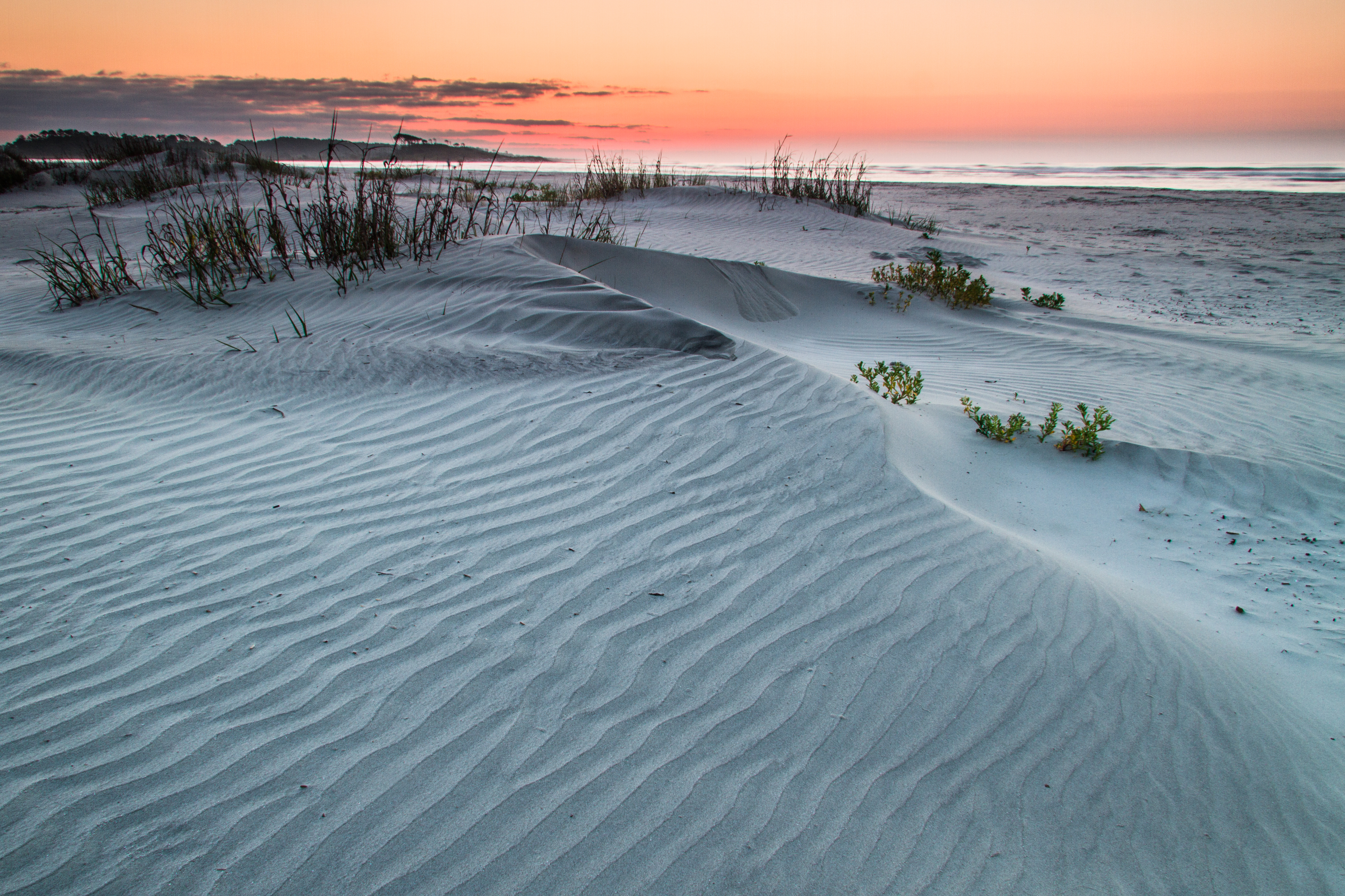
ripples-1
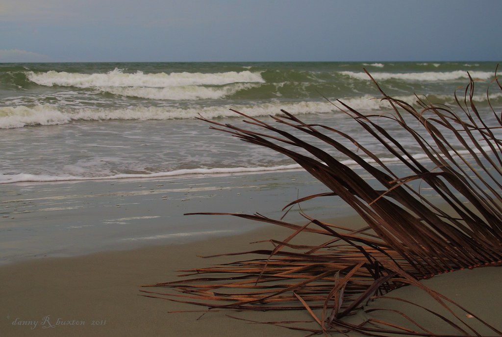
Beachcombing 265/365

A wave crashes along the NC/SC boundary
LK_20170408_0170_HDR-sm

LK_20140605_0035_HDR-sm

"Super" moon on May 5, 2012

It will all be under water soon.

Camera Roll-11017
Camera Roll-10046
The Beach

Cherry Grove Fishing Pier

Cold day on the #beach is better than a day at work.
#baywatch #myrtlebeach #vacation
2011-10-30-Myrtle-299
Topographic Map of Tidemaster Homeowners Association, S Ocean Blvd, North Myrtle Beach, SC, USA
Find elevation by address:

Places near Tidemaster Homeowners Association, S Ocean Blvd, North Myrtle Beach, SC, USA:
North Myrtle Beach
522 Hillside Dr S
405 6th Ave S
210 Hillside Dr S
431 7th Ave S
431 7th Ave S
208 9th Ave S
503 2nd Ave S
922 Persimmon Ln
Belle Grove Plantation
Ocean Oaks
522 7th Ave S
600 6th Ave S
603 3rd Ave S
603a 3rd Ave S
708 Shell Creek Cir
612 3rd Ave S
803 N Ocean Blvd
903 N Ocean Blvd
2nd Avenue South
Recent Searches:
- Elevation of Tenjo, Cundinamarca, Colombia
- Elevation of Côte-des-Neiges, Montreal, QC H4A 3J6, Canada
- Elevation of Bobcat Dr, Helena, MT, USA
- Elevation of Zu den Ihlowbergen, Althüttendorf, Germany
- Elevation of Badaber, Peshawar, Khyber Pakhtunkhwa, Pakistan
- Elevation of SE Heron Loop, Lincoln City, OR, USA
- Elevation of Slanický ostrov, 01 Námestovo, Slovakia
- Elevation of Spaceport America, Co Rd A, Truth or Consequences, NM, USA
- Elevation of Warwick, RI, USA
- Elevation of Fern Rd, Whitmore, CA, USA