Elevation map of Tianjin, China
Location: China >
Longitude: 117.361647
Latitude: 39.3433574
Elevation: 4m / 13feet
Barometric Pressure: 101KPa
Elevation Map:
Satellite Map:
Related Photos:

sunset @七里海国家湿地公园

Visa Run 2009 -008
20151114-_DSC6219.jpg

20151114-_DSC6231.jpg

Tianjin - China, 2009

Benz 驾到

last working day in DC before CNY happy new year #CNY#ig_captures_hdr #ig_worldclub #ig_captures #likesphotogram #likeforfollow #McgPro #Magicpic #mychinagram #captchina #wu_china #worldingram

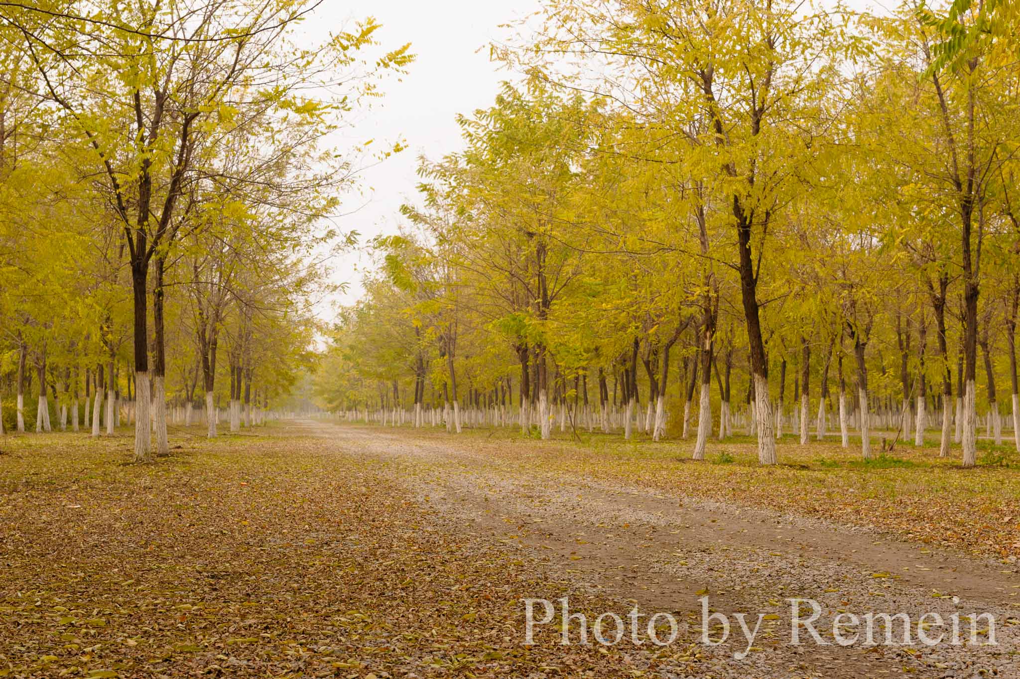
20151114-_DSC6240.jpg

20151114-_DSC6230.jpg

20151114-_DSC6227.jpg

2013 Denmark 07 06 180

IMG_1431-1

IMG_1406-1
IMG_1414-1

IMG_1425-1

❄⛄❄⛄
Topographic Map of Tianjin, China
Find elevation by address:

Places in Tianjin, China:
Places near Tianjin, China:
Recent Searches:
- Elevation of W Prive Cir, Delray Beach, FL, USA
- Elevation of S Layton Cir W, Layton, UT, USA
- Elevation of F36W+3M, Mussoorie, Uttarakhand, India
- Elevation of Fairland Ave, Fairhope, AL, USA
- Elevation of Sunset Dr, Richmond, VA, USA
- Elevation of Grodna District, Hrodna Region, Belarus
- Elevation of Hrodna, Hrodna Region, Belarus
- Elevation of Sandia Derby Estates, Tijeras, NM, USA
- Elevation of 23 Sunrise View Ct, Tijeras, NM, USA
- Elevation of Lytham Ln, Katy, TX, USA