Elevation of Thurston Peaks North, California, USA
Location: United States > California > Big Bar >
Longitude: -123.22222
Latitude: 40.9244444
Elevation: 2249m / 7379feet
Barometric Pressure: 77KPa
Elevation Map:
Satellite Map:
Related Photos:
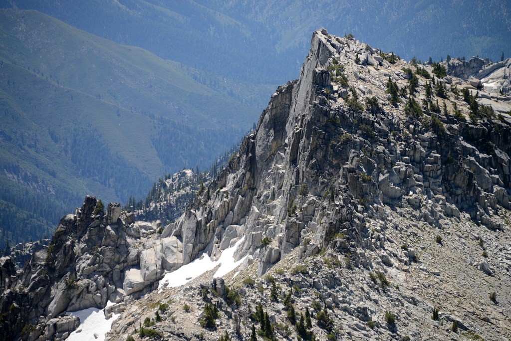
Wedding Cake as view from Mount Thomposon, Trinity Alps Wilderness, California
Topographic Map of Thurston Peaks North, California, USA
Find elevation by address:

Places near Thurston Peaks North, California, USA:
Canyon Creek Rd, Junction City, CA, USA
14 HC 65, Burnt Ranch, CA, USA
Little Granite Peak
Sawtooth Mountain
Caribou Rd, Forks of Salmon, CA, USA
Cecilville Rd, Forks of Salmon, CA, USA
Ironside Mountain
East Fork Campground
Burnt Ranch
Caribou Mountain
Packers Peak
CA-, Burnt Ranch, CA, USA
North Trinity Mountain
Trinity Mountain Meadow Resort
1750 Trinity Alps Rd
Trinity Alps Rd, Trinity Center, CA, USA
210 Quinby Rd
Forks Of Salmon
Gibson Peak
Salyer
Recent Searches:
- Elevation of Corso Fratelli Cairoli, 35, Macerata MC, Italy
- Elevation of Tallevast Rd, Sarasota, FL, USA
- Elevation of 4th St E, Sonoma, CA, USA
- Elevation of Black Hollow Rd, Pennsdale, PA, USA
- Elevation of Oakland Ave, Williamsport, PA, USA
- Elevation of Pedrógão Grande, Portugal
- Elevation of Klee Dr, Martinsburg, WV, USA
- Elevation of Via Roma, Pieranica CR, Italy
- Elevation of Tavkvetili Mountain, Georgia
- Elevation of Hartfords Bluff Cir, Mt Pleasant, SC, USA