Elevation of Thunders Rd, Cranbrook, BC V1C, Canada
Location: Canada > British Columbia > East Kootenay > East Kootenay C >
Longitude: -115.86296
Latitude: 49.6029253
Elevation: 888m / 2913feet
Barometric Pressure: 91KPa
Elevation Map:
Satellite Map:
Related Photos:
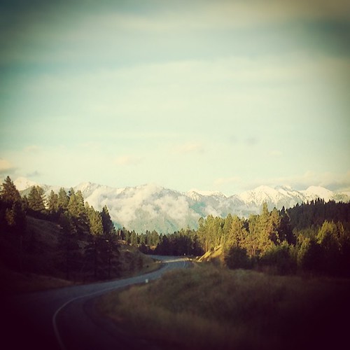
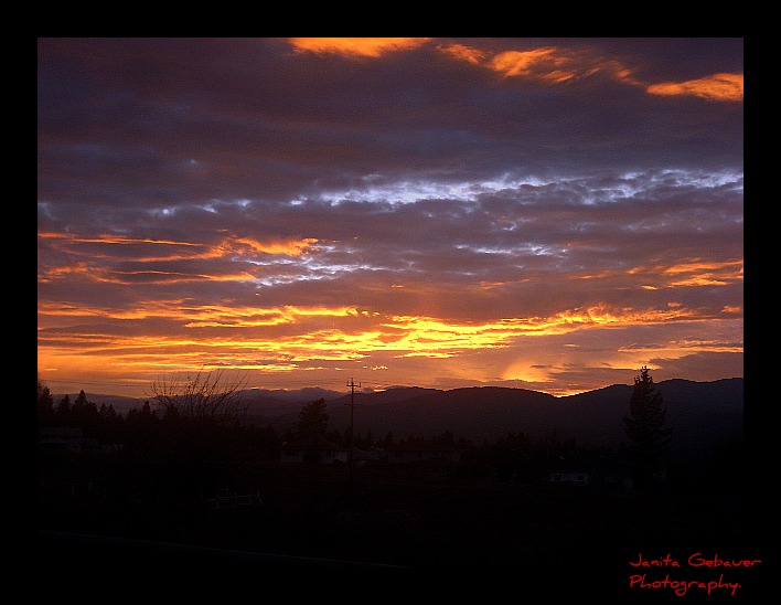
If this #view is any indication, it's going to be an amazing couple days. #beautifulbc #photographersdream #landscape #2fliesbc #Cranbrook
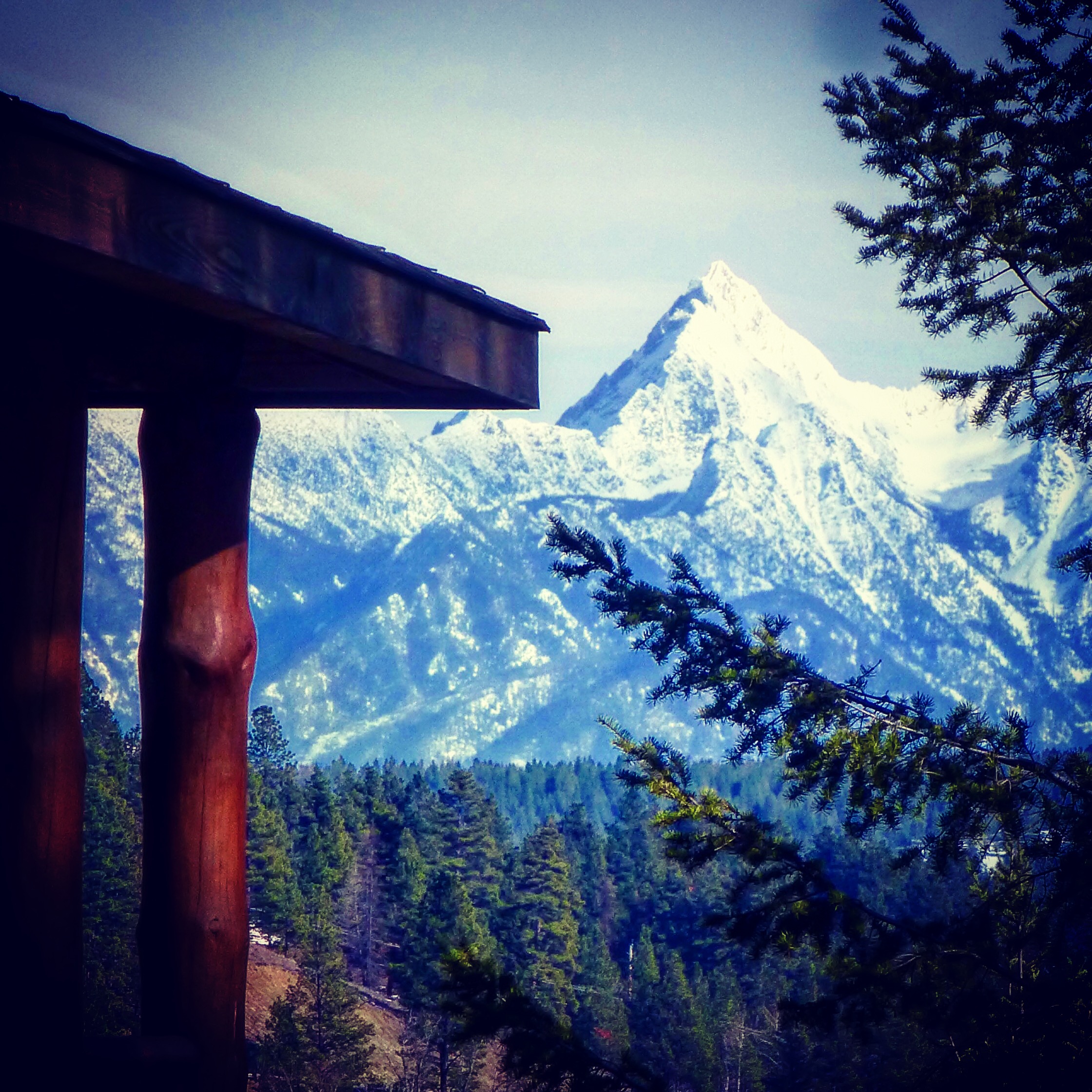
Cabin With a View

Isadore Canyon Trail

Front View

Unfiltered office with a view
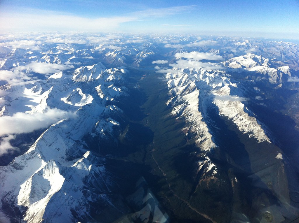
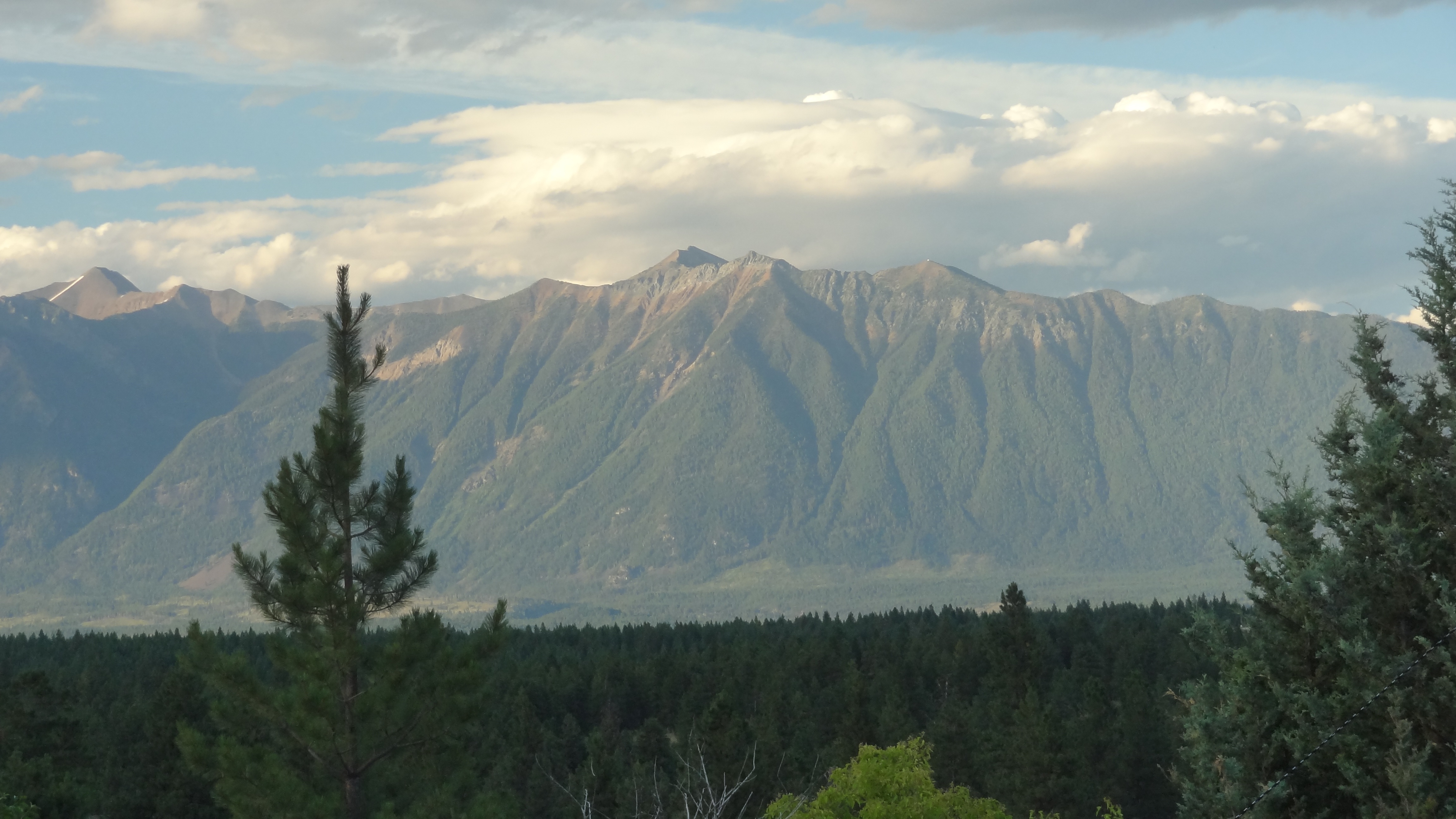
Mountains as Far as The Eye Can See
koot10c19 Scenic Highway 3 Signs, Cranbrook BC 2010

Canadian Rockies Int'l Airport
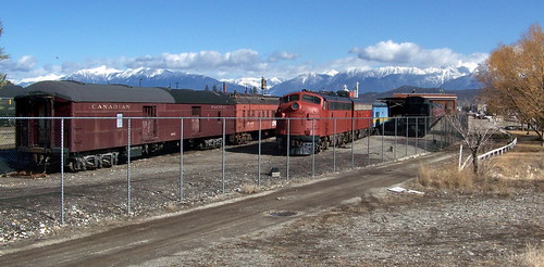
koot10c30 Railway Museum Trains, Cranbrook BC 2010
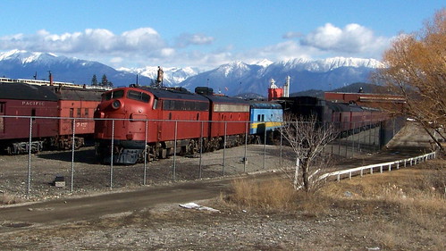
koot10c28 Railway Museum Trains, Cranbrook BC 2010

(280/366) A Round of Golf in the Shadow of Mount Fischer
Side View
View 1

Powder Highway road trip
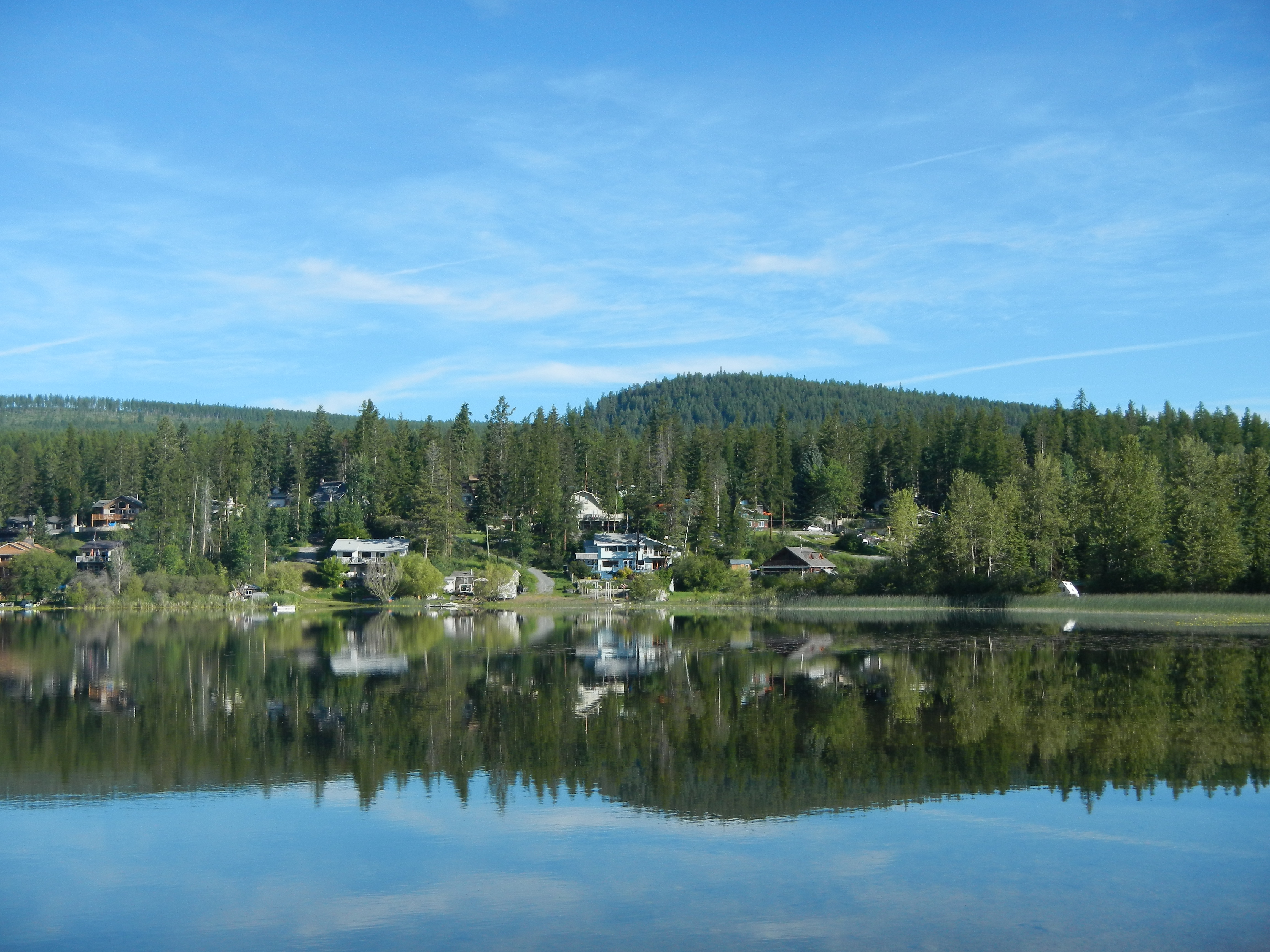
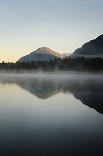
Lake view
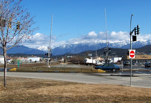
koot10c20 Scenic Highway 3, Cranbrook BC 2010
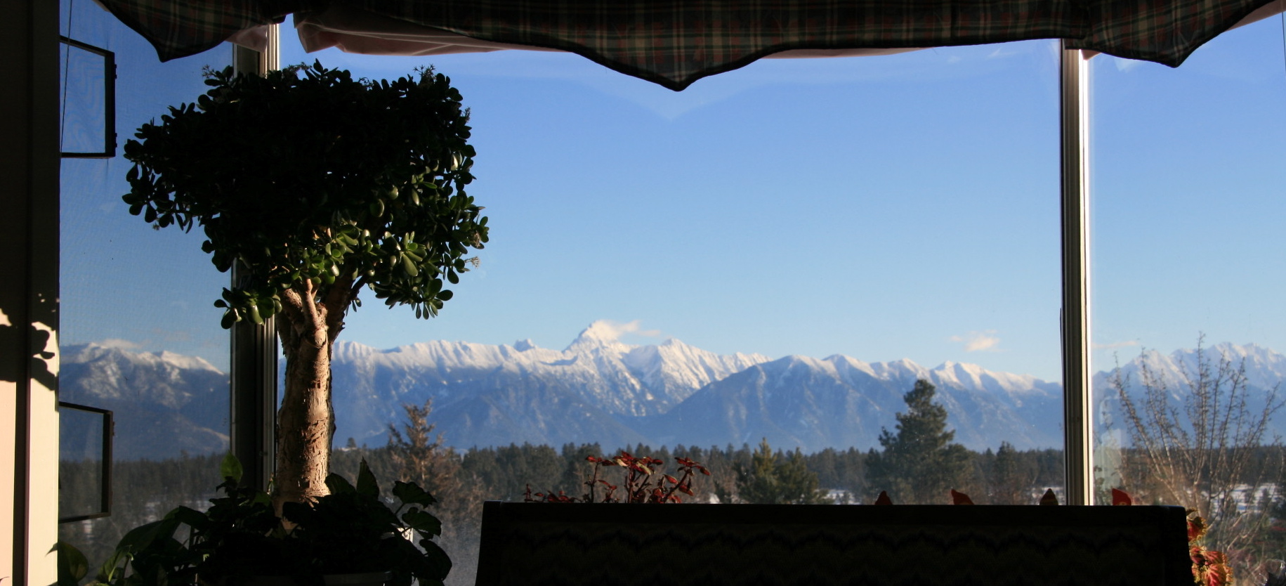
View from Living Room
view from house
koot10c21 Monashee View, Cranbrook BC 2010

view NW
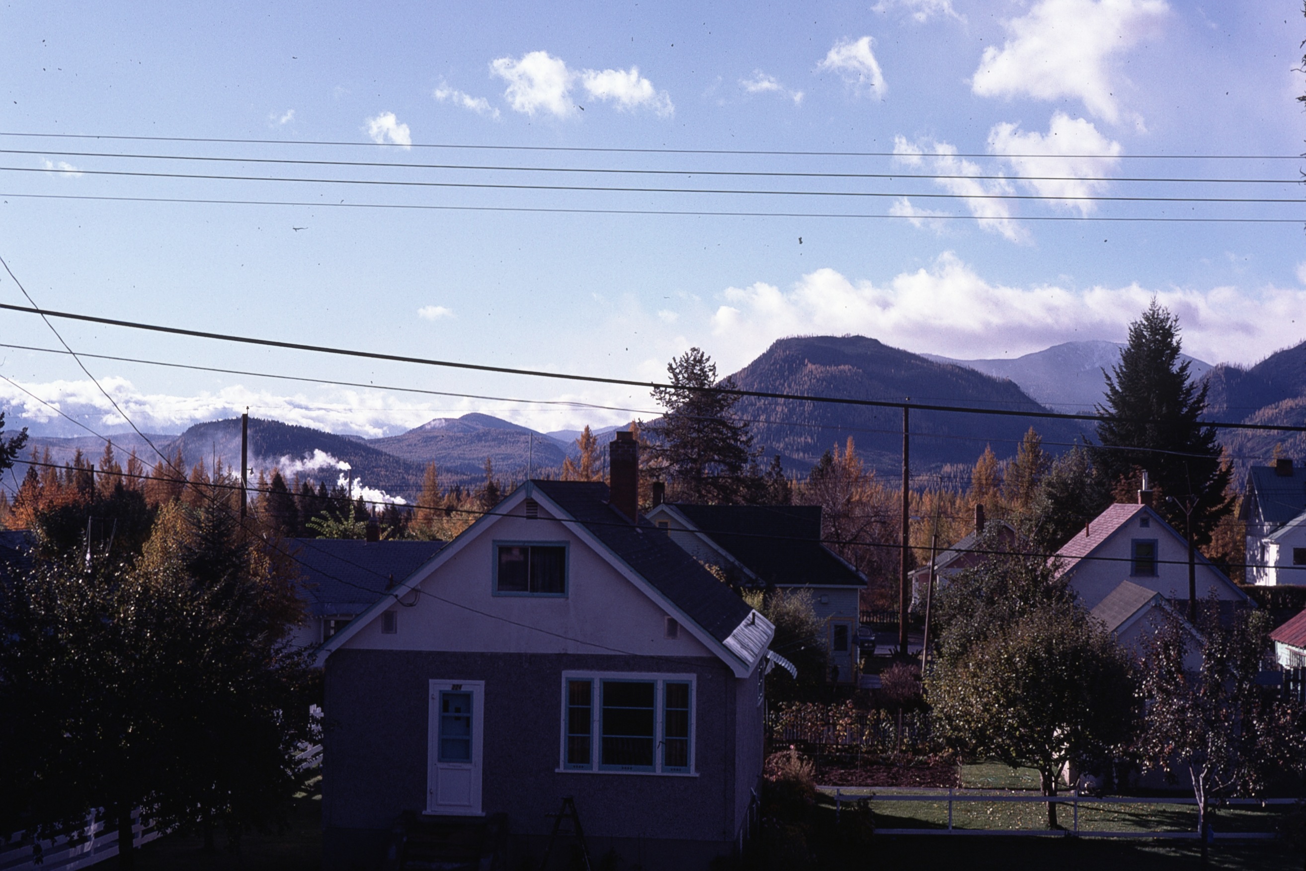
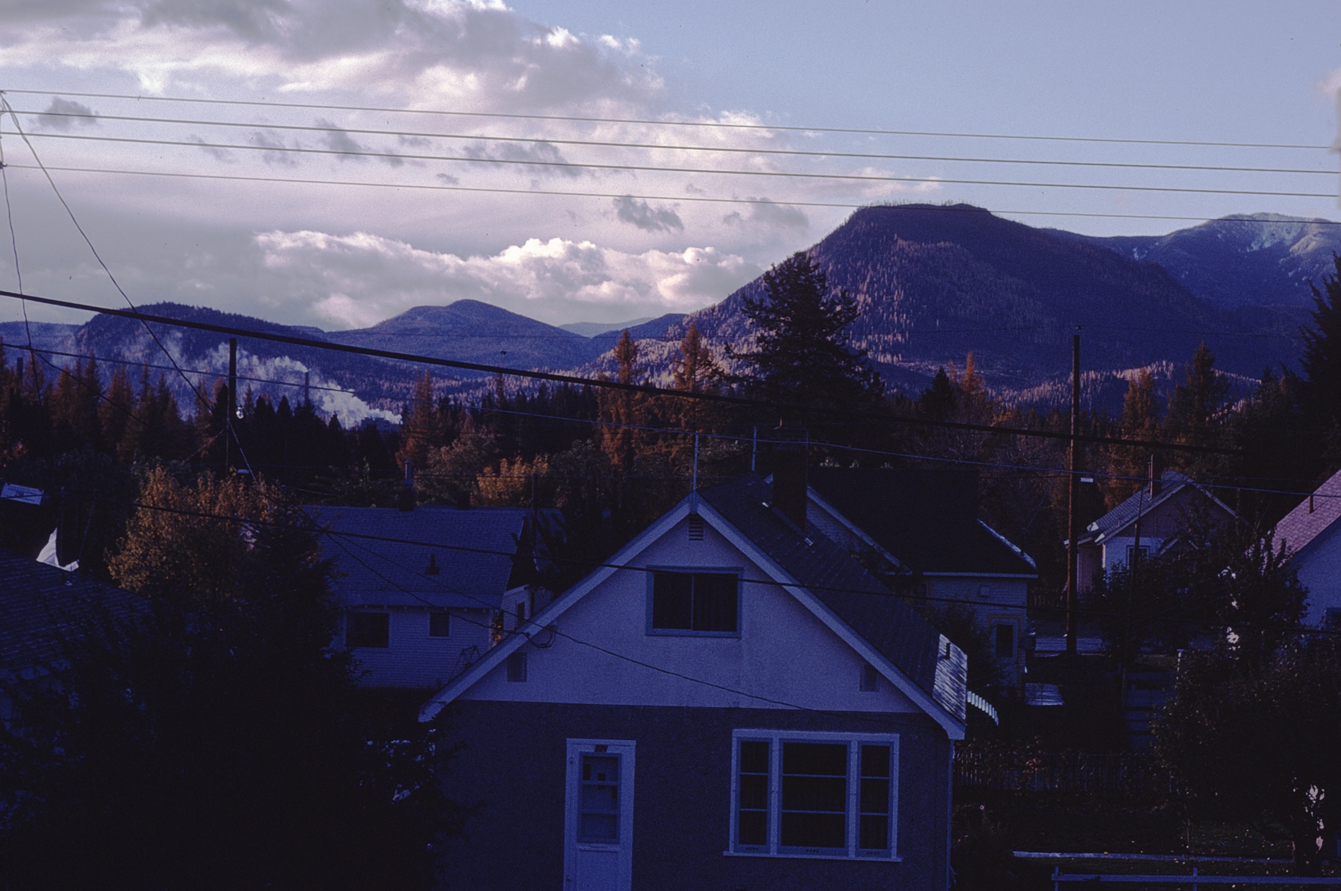
fall view from house
Tree.
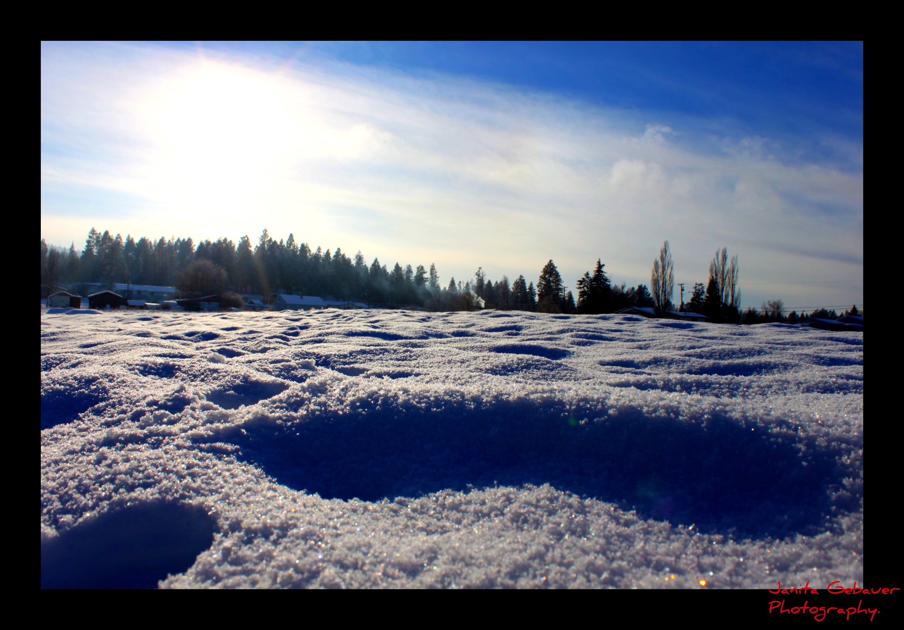
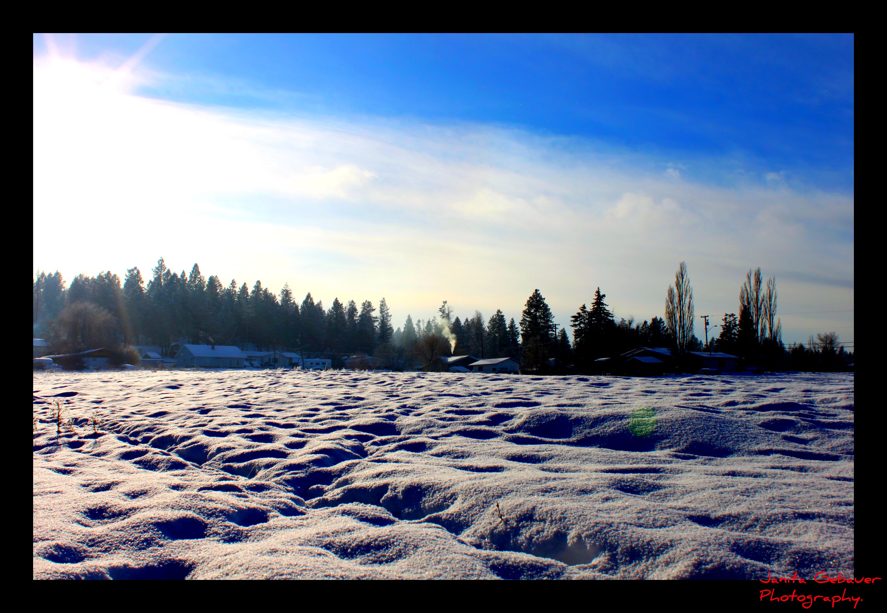
Winter sun.
♥

light safari
Lakit Mountain from Clearview Road
horseshoe lake

If I could melt your heart
Canada First Week
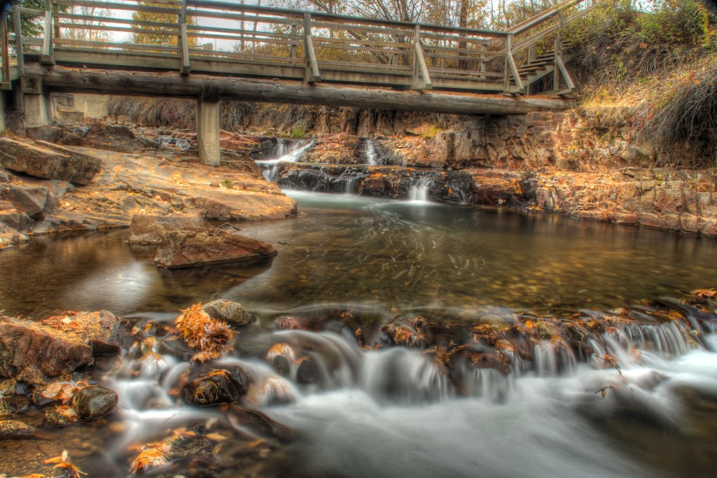
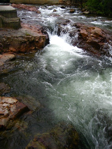
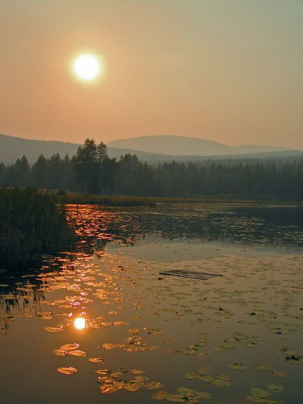
Marysville Falls
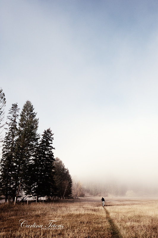
Walk On

CP 8664 South, crossing St Mary's River. Kimberley Sub (April 1972)

Mount Baker Cheers.
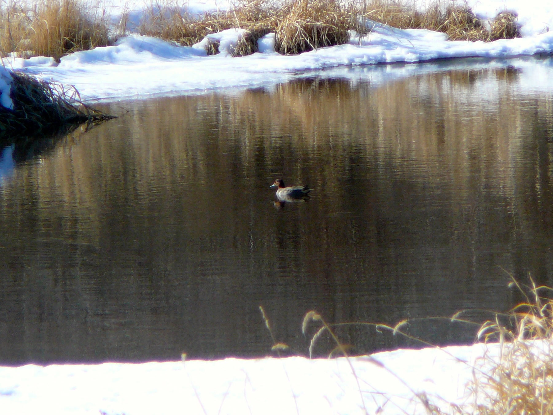
Green-winged Teal
I'm not a landscape photographer

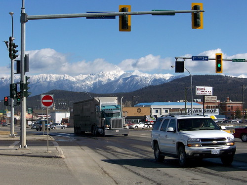
Crowsnest Highway
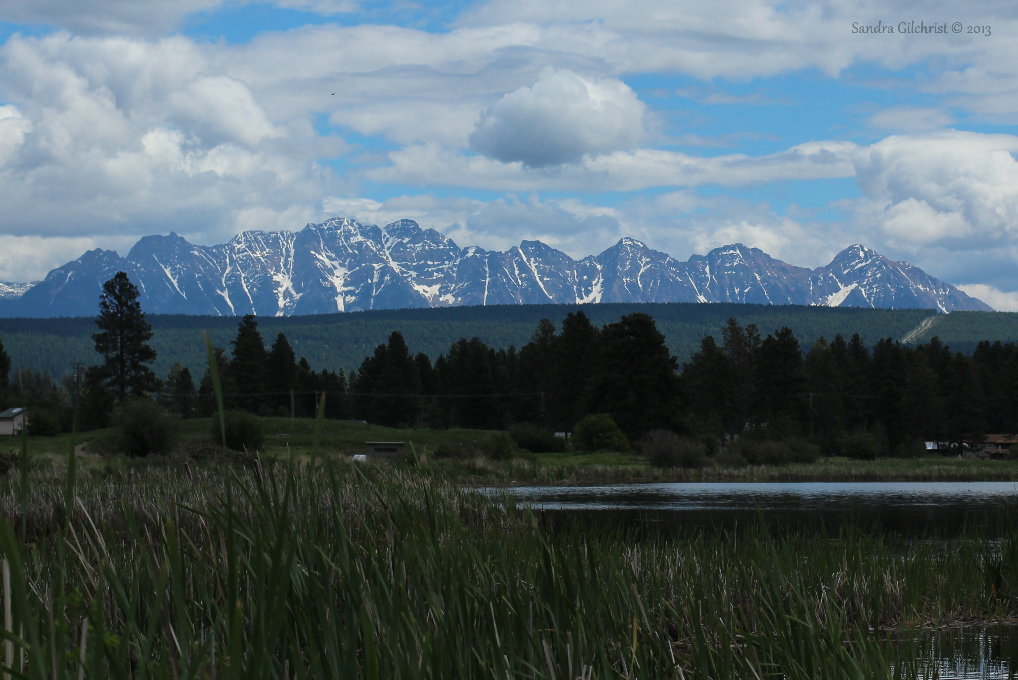
Elizabeth Lake, Cranbrook BC

Marysville Falls
High noon
Topographic Map of Thunders Rd, Cranbrook, BC V1C, Canada
Find elevation by address:

Places near Thunders Rd, Cranbrook, BC V1C, Canada:
Wycliffe Park Rd, Cranbrook, BC V1C 7C3, Canada
Canadian Rockies International Airport
V1c 0c2
906 307 Ave
Marysville
8164 Bc-95a
771 303 St
771 303 St
711 304 St
Marysville Falls Trail
Ave, Kimberley, BC V1A 3G6, Canada
Mission Road, Cranbrook, BC V1C, Canada
1642 Manor Rd
610 Knighton Rd
1437 Summer Rd
Blarchmont
343 Ritchie St
235 Burdett St
255 Hannay St
71 Morrison Rd
Recent Searches:
- Elevation of East W.T. Harris Boulevard, E W.T. Harris Blvd, Charlotte, NC, USA
- Elevation of West Sugar Creek, Charlotte, NC, USA
- Elevation of Wayland, NY, USA
- Elevation of Steadfast Ct, Daphne, AL, USA
- Elevation of Lagasgasan, X+CQH, Tiaong, Quezon, Philippines
- Elevation of Rojo Ct, Atascadero, CA, USA
- Elevation of Flagstaff Drive, Flagstaff Dr, North Carolina, USA
- Elevation of Avery Ln, Lakeland, FL, USA
- Elevation of Woolwine, VA, USA
- Elevation of Lumagwas Diversified Farmers Multi-Purpose Cooperative, Lumagwas, Adtuyon, RV32+MH7, Pangantucan, Bukidnon, Philippines