Elevation of Thunderbird Way, Port Hardy, BC V0N 2P0, Canada
Location: Canada > British Columbia > Mount Waddington > Port Hardy >
Longitude: -127.49994
Latitude: 50.7239886
Elevation: 27m / 89feet
Barometric Pressure: 101KPa
Elevation Map:
Satellite Map:
Related Photos:

South view

Sea Gull In-flight Side View

Start up Smoke
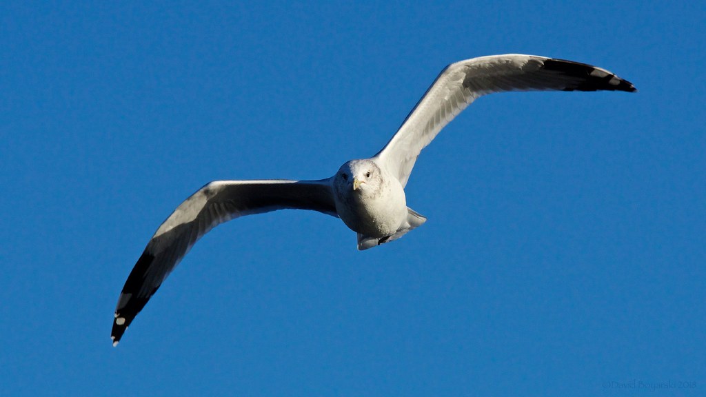
Sea Gull In-flight Head-On View
North view
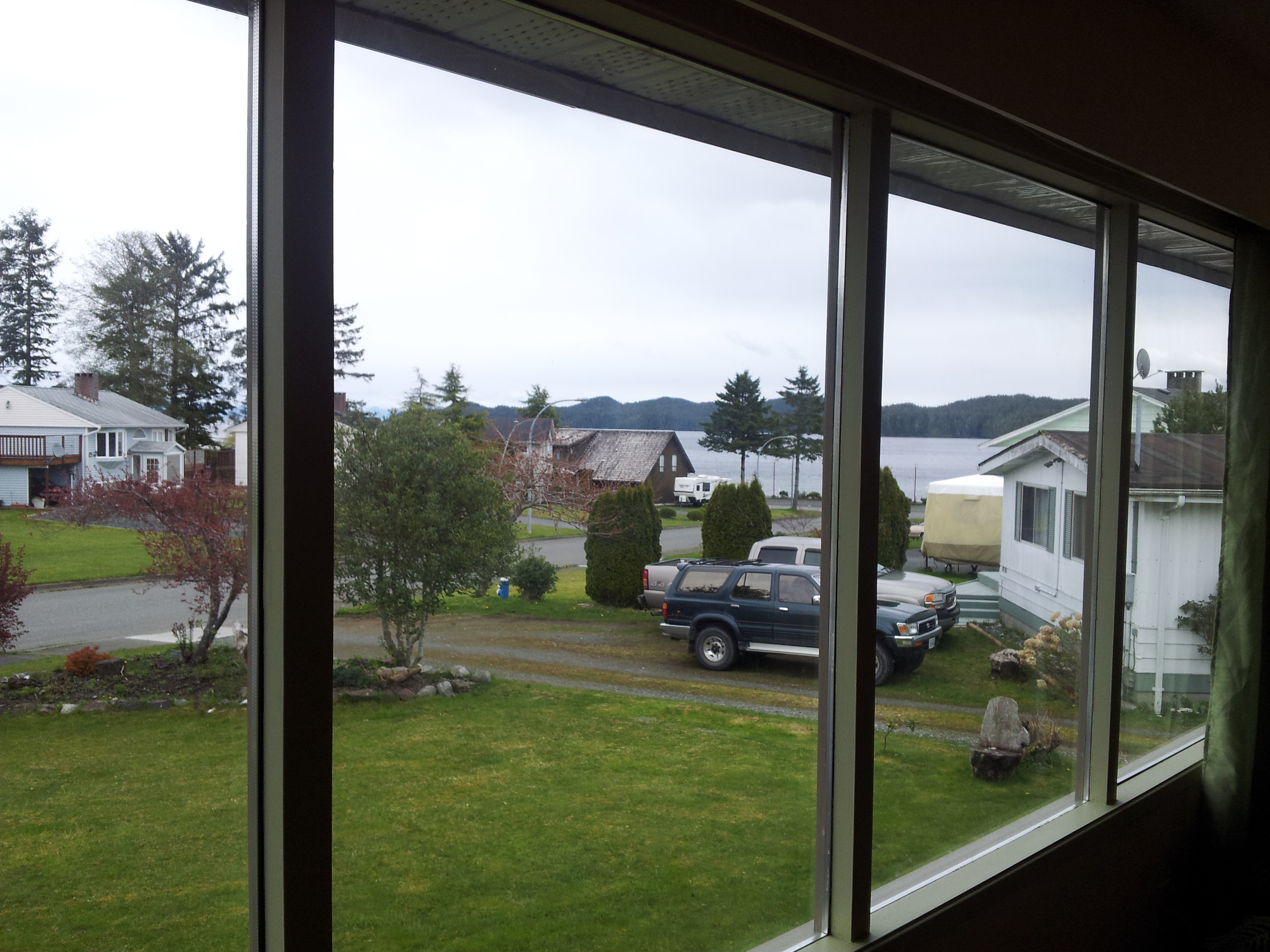
view from living room

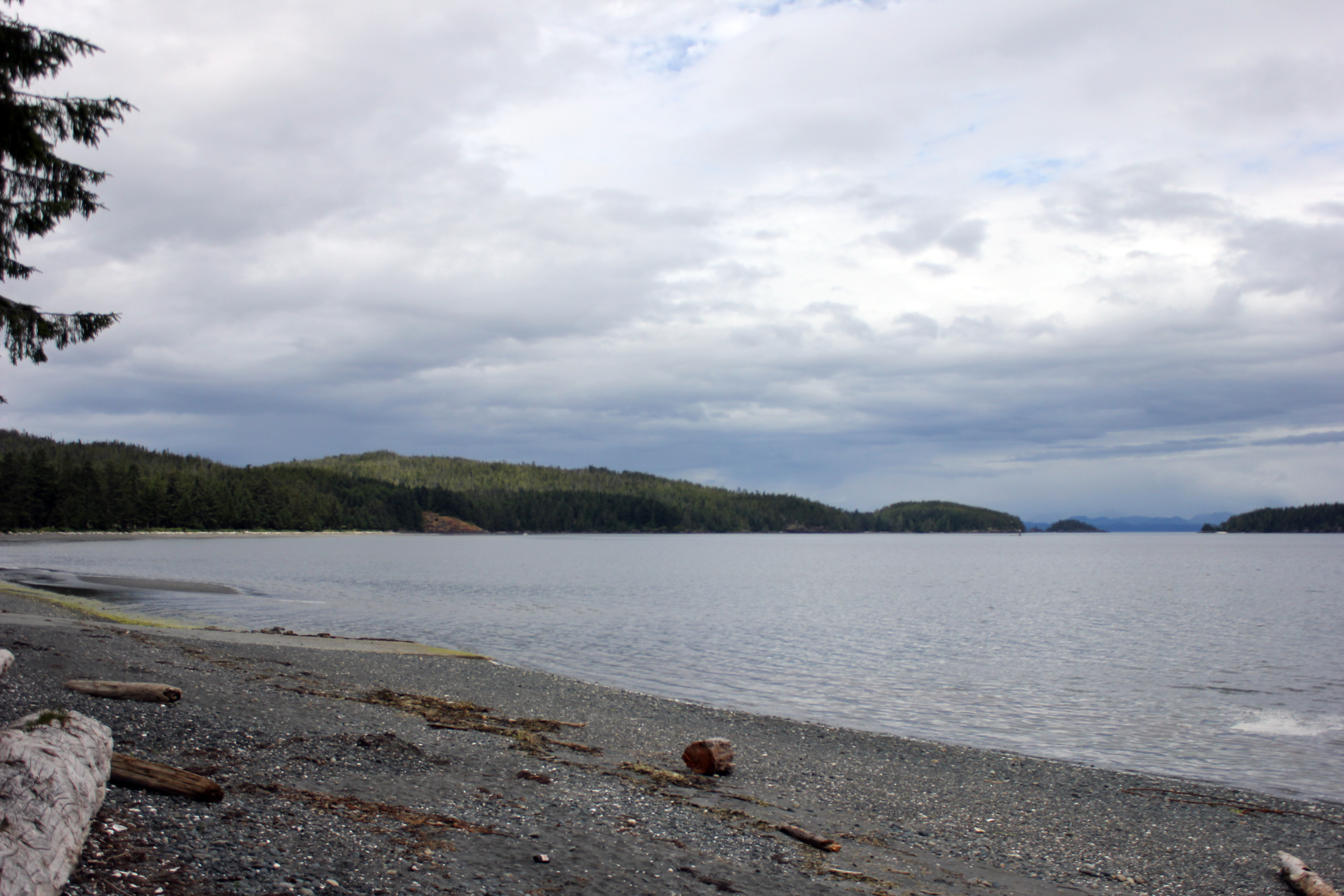
View to Bramham Island in Port Hardy (Vancouver Island BC) Canada

View to Bramham Island in Port Hardy (Vancouver Island BC) Canada
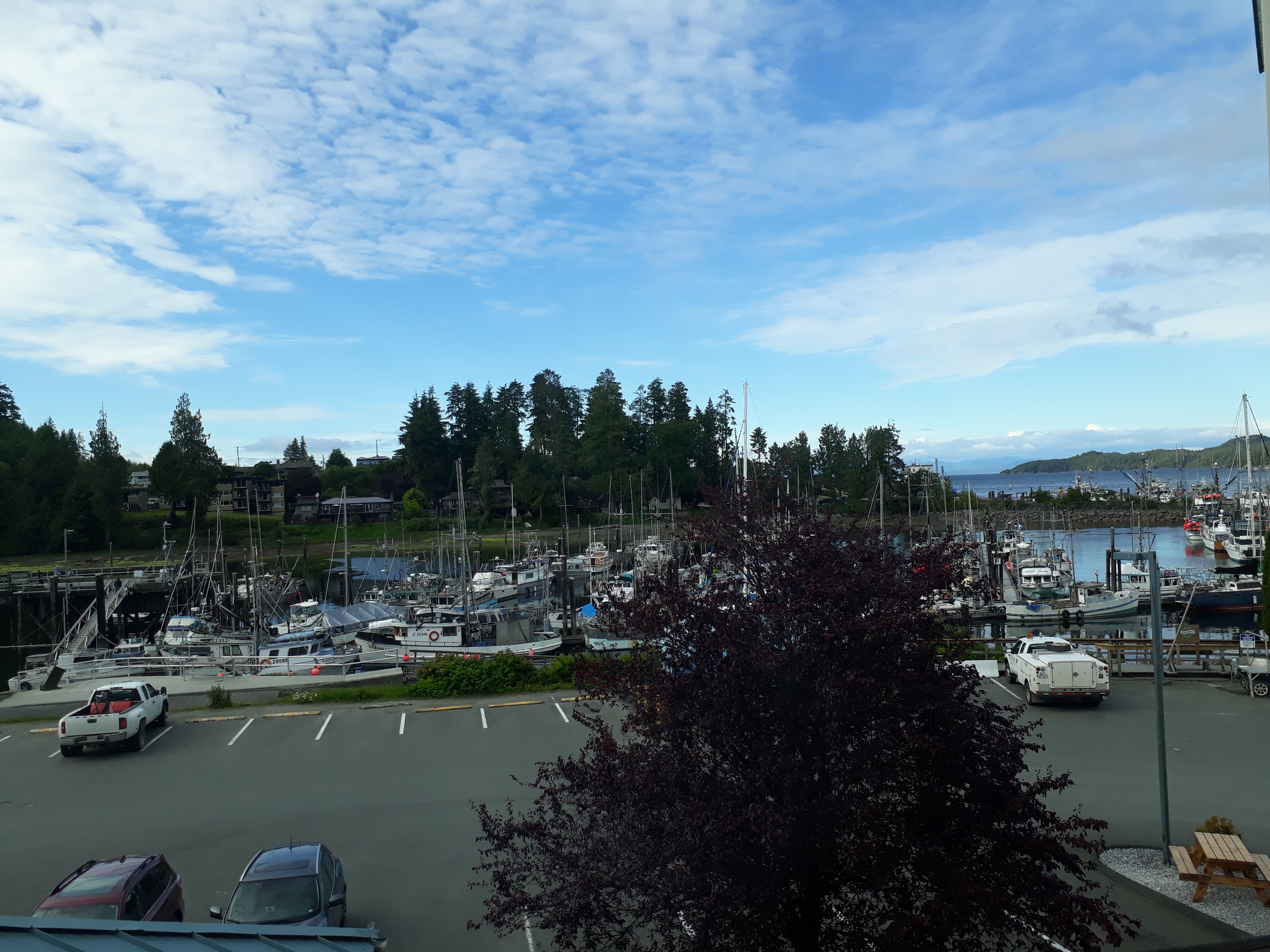
View from Quarterdeck Inn, Port Hardy
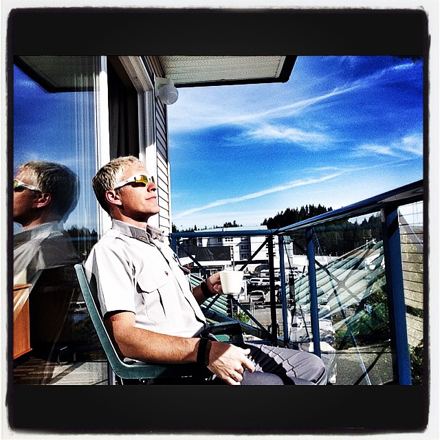
Enjoying the beautiful ocean view having a morning coffee before going to meet all my passengers today for work. Amazing hotel. Amazing view. Beautiful day for a drive from Port Hardy BC to Nanaimo BC #GoGreyhound
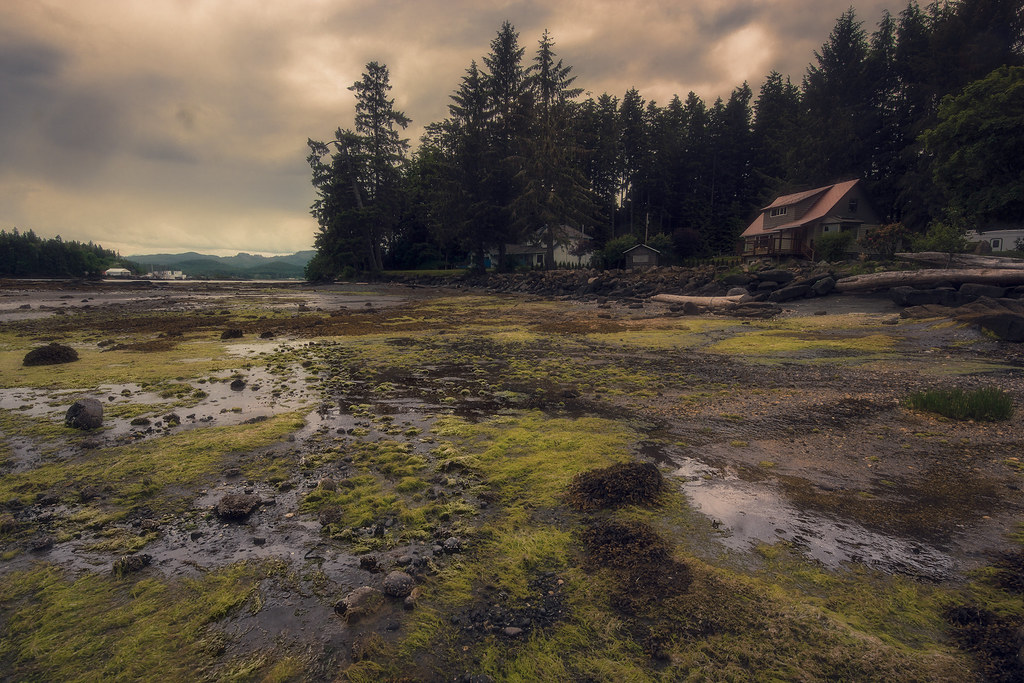
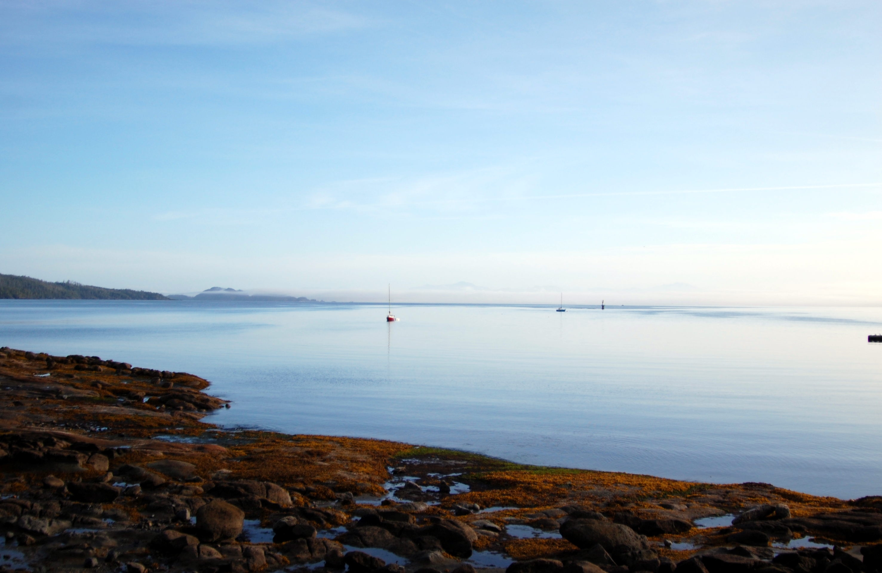
Low tide at Port Hardy
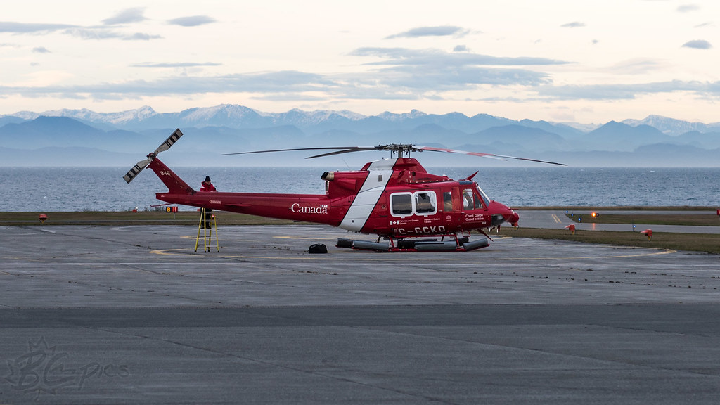
C-GCKQ - Canadian Coast Guard - Bell 412EP
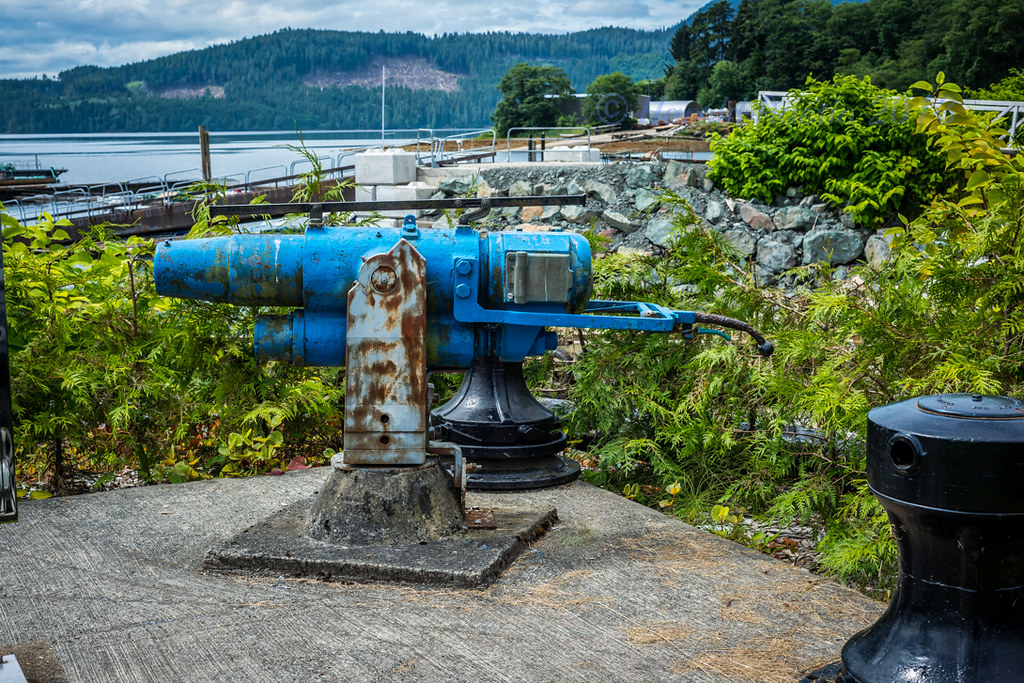
Harpoon Gun

Water rocks, Day 92 of 365
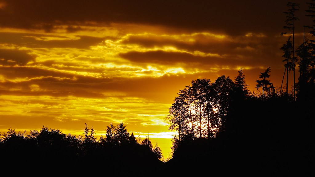
Glorious dawn

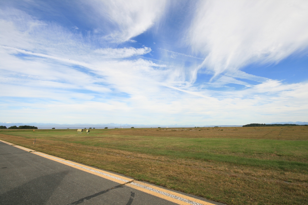
Storey's Beach
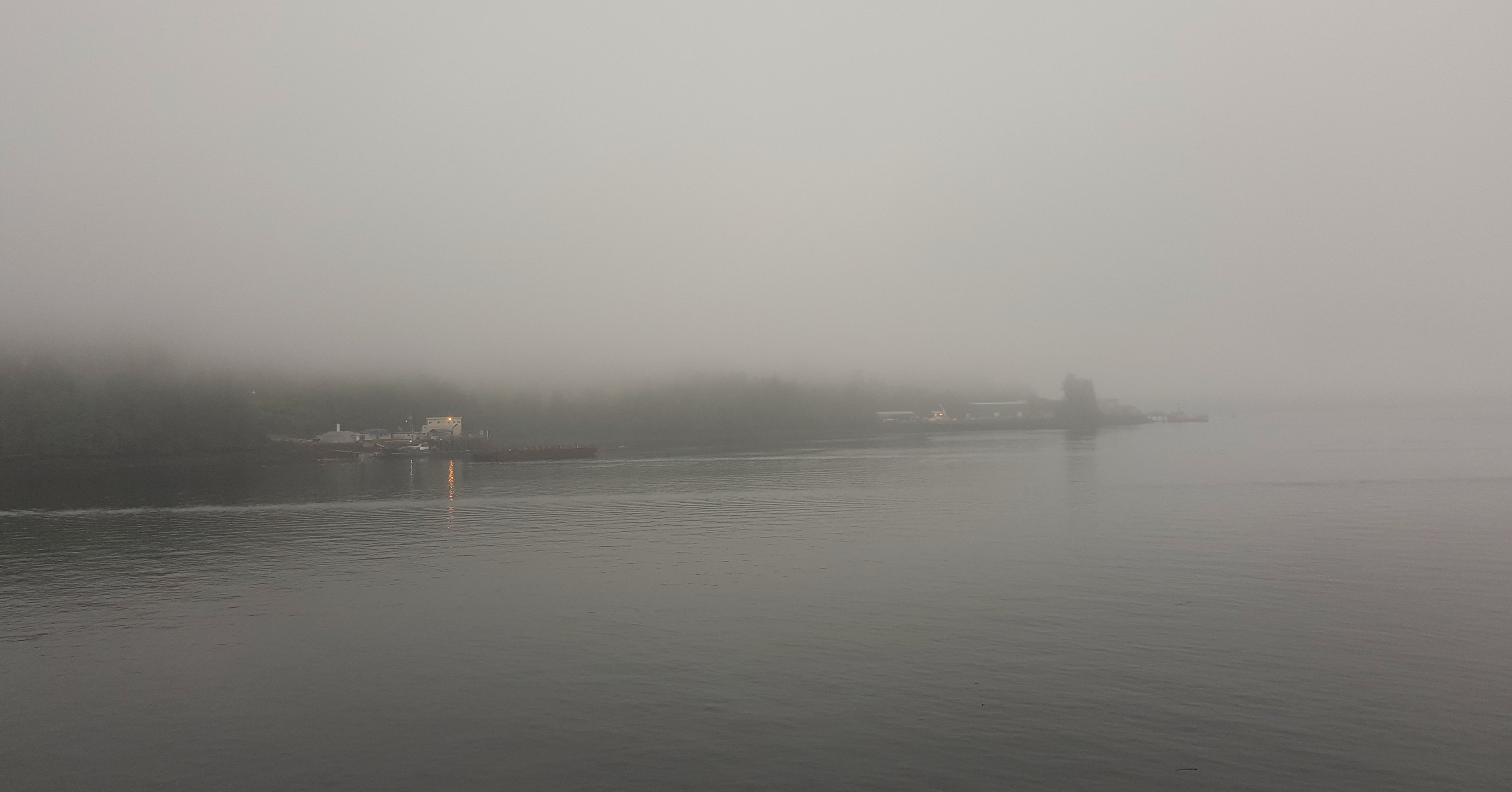
Foggy morning.
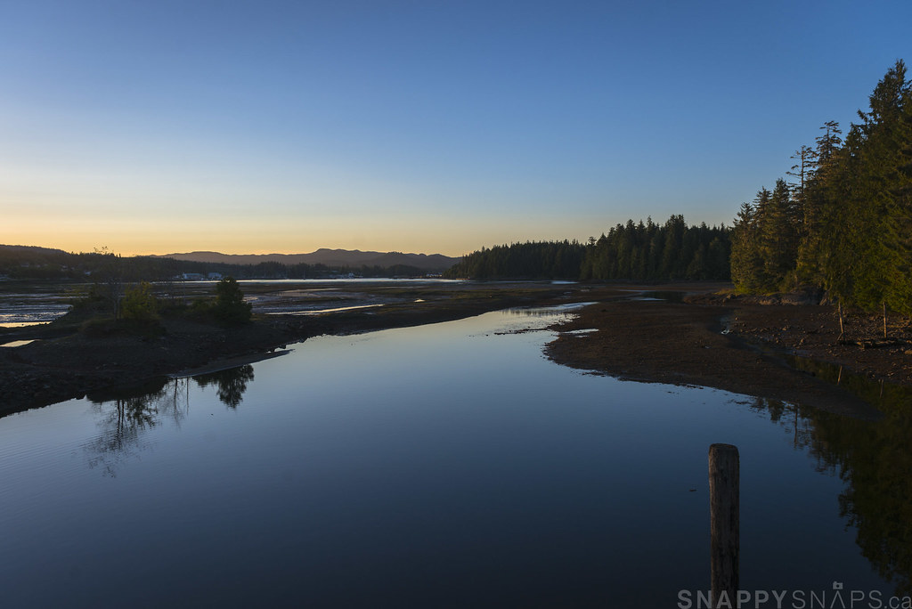
Port Hardy, BC Estuary

Prince Hardy Night Port
Coast (1)

Sunrise at Port Hardy

Alkan2017-105

Nobody breathe!
Port Hardy
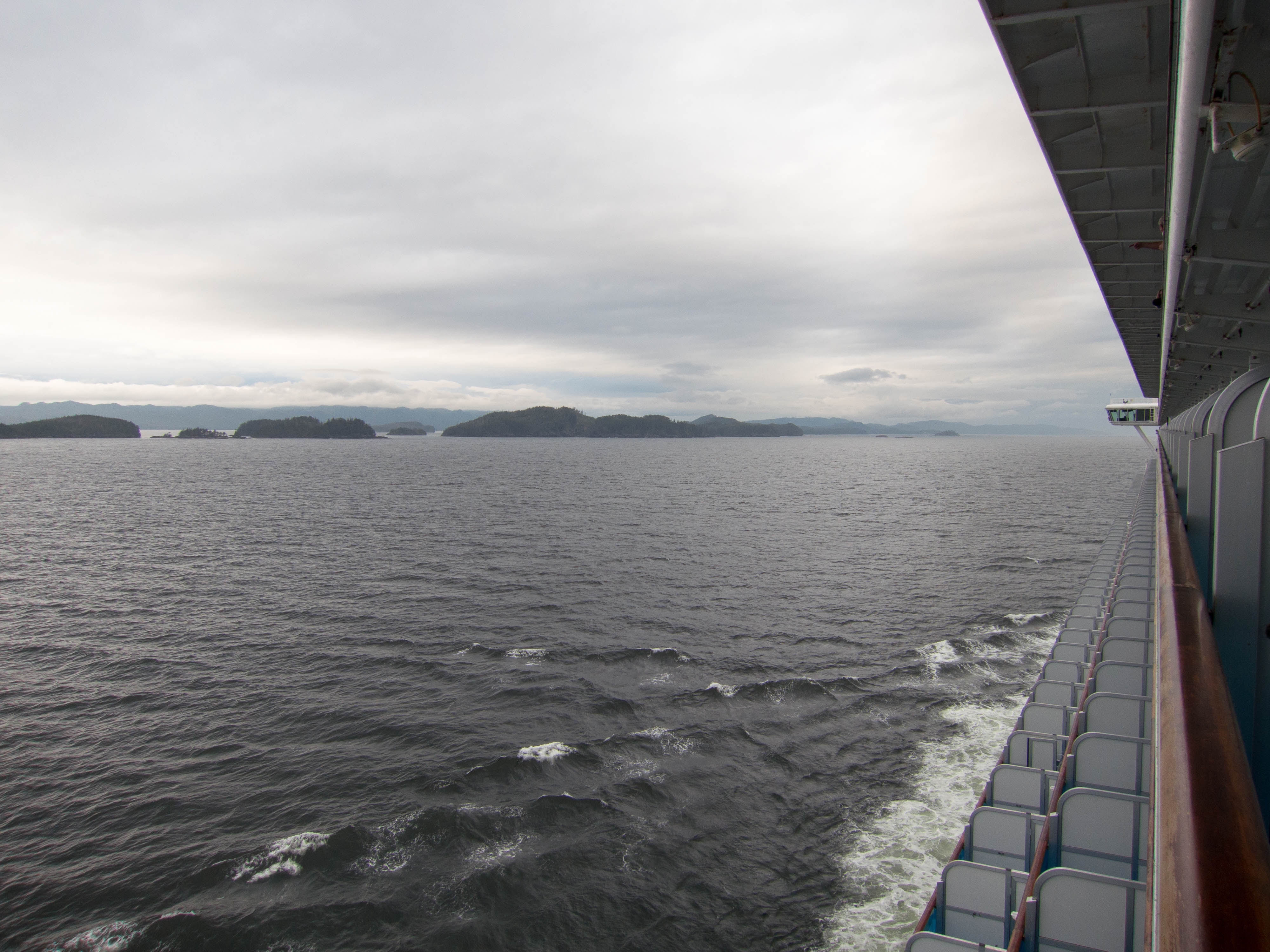
2014 Alaska Cruise

Auf See zwischen Ketchikan und Vancouver

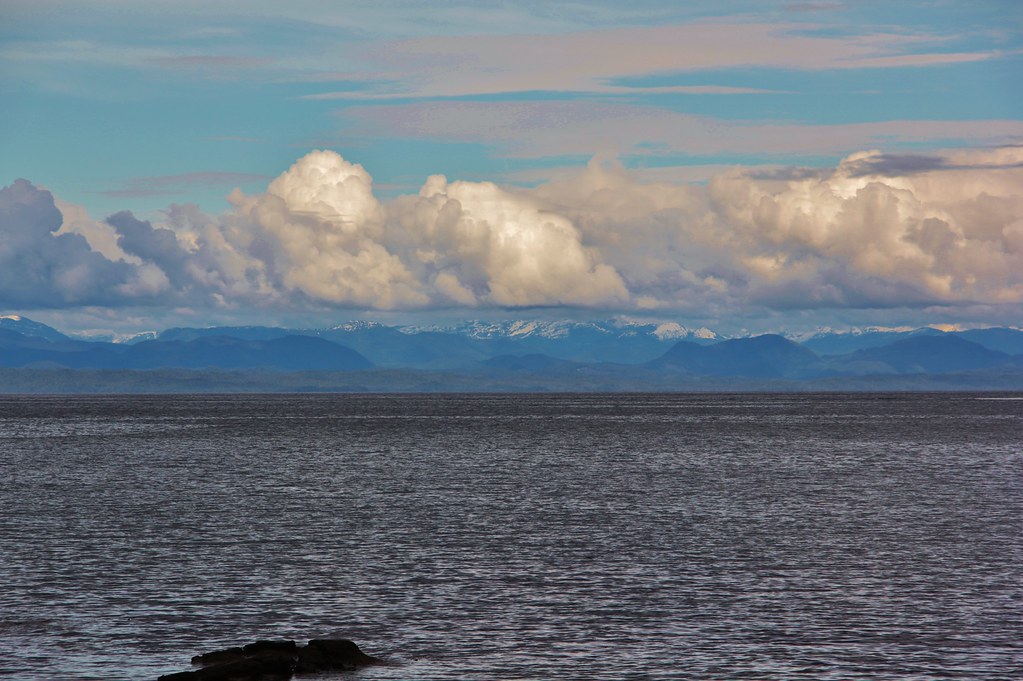
B.C. Mainland
Streaking, Day 93 of 365
Topographic Map of Thunderbird Way, Port Hardy, BC V0N 2P0, Canada
Find elevation by address:

Places near Thunderbird Way, Port Hardy, BC V0N 2P0, Canada:
Copper Drive
Port Hardy
7640 Eagle Crescent
7640 Eagle Crescent
7640 Eagle Crescent
7640 Eagle Crescent
7640 Eagle Crescent
7640 Eagle Crescent
7640 Eagle Crescent
7640 Eagle Crescent
7640 Eagle Crescent
7450 Rupert St
Main Street
7460 Eagle Crescent
7220 Highview Rd
7205 Market St
Mayors Way
Scott Street
6264 Jensen Cove Rd
6264 Jensen Cove Rd
Recent Searches:
- Elevation of 12 Hutchinson Woods Dr, Fletcher, NC, USA
- Elevation of Holloway Ave, San Francisco, CA, USA
- Elevation of Norfolk, NY, USA
- Elevation of - San Marcos Pass Rd, Santa Barbara, CA, USA
- Elevation of th Pl SE, Issaquah, WA, USA
- Elevation of 82- D Rd, Captain Cook, HI, USA
- Elevation of Harlow CM20 2PR, UK
- Elevation of Shenyang Agricultural University, Dong Ling Lu, Shen He Qu, Shen Yang Shi, Liao Ning Sheng, China
- Elevation of Alpha Dr, Melbourne, FL, USA
- Elevation of Hiroshima University, 1-chōme-3-2 Kagamiyama, Higashihiroshima, Hiroshima -, Japan