Elevation of Thunder Creek, SK S0H 0V0, Canada
Location: Canada > Saskatchewan > Division No. 7 > Enfield No. 194 >
Longitude: -106.58645
Latitude: 50.6500296
Elevation: 601m / 1972feet
Barometric Pressure: 94KPa
Elevation Map:
Satellite Map:
Related Photos:
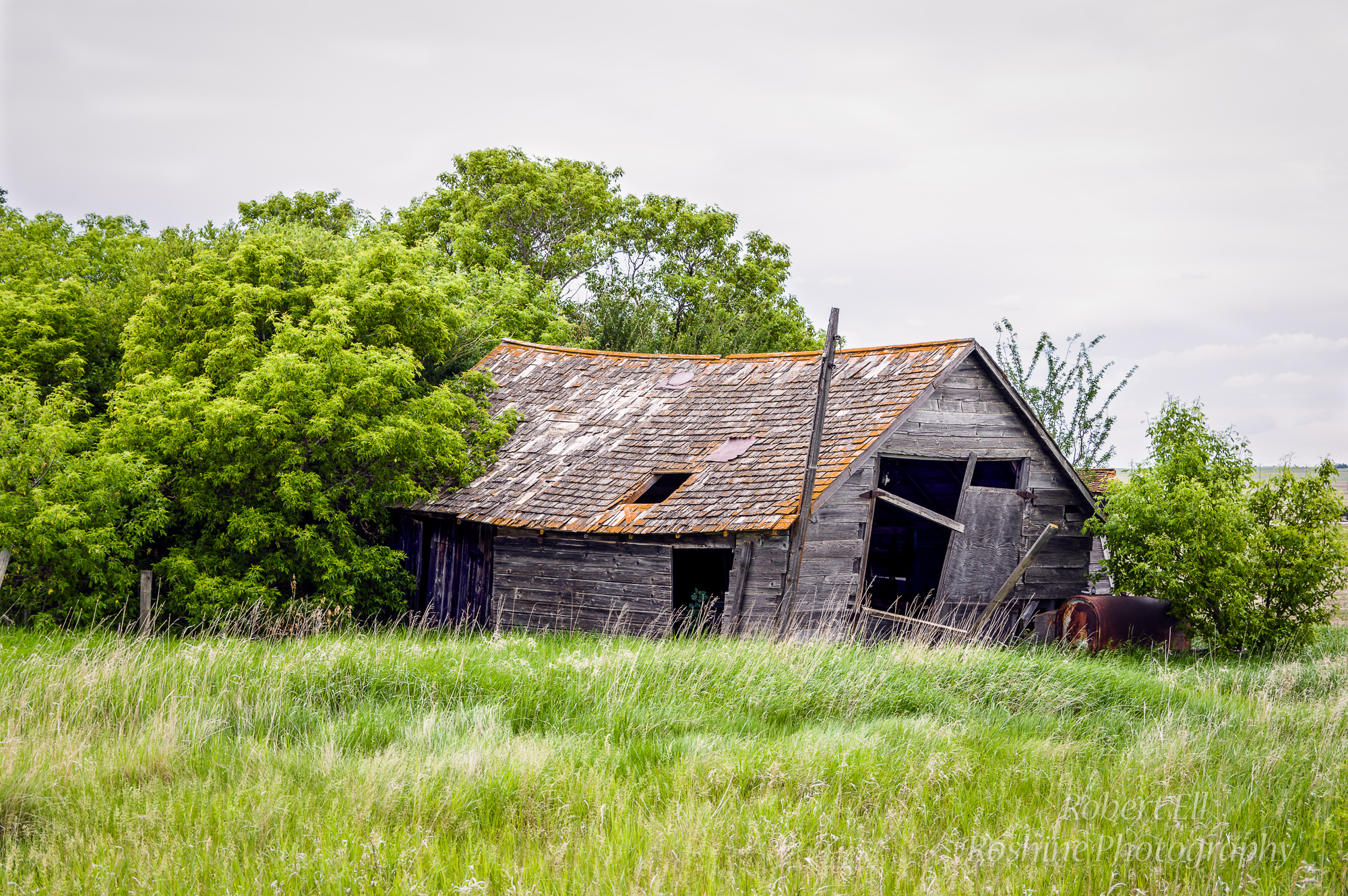
Shed in the Backyard
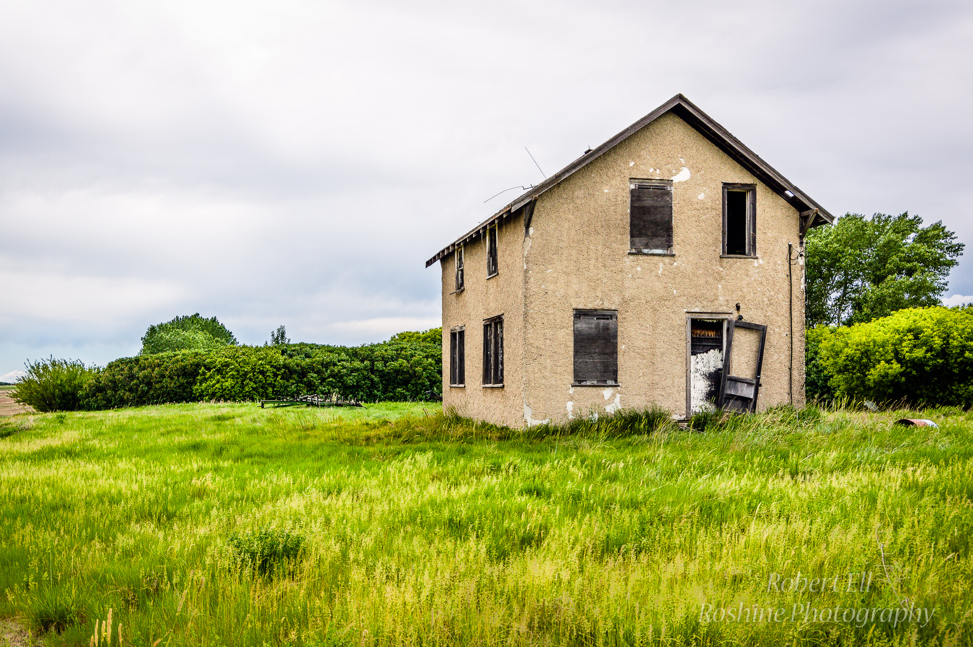
Old Stucco Home
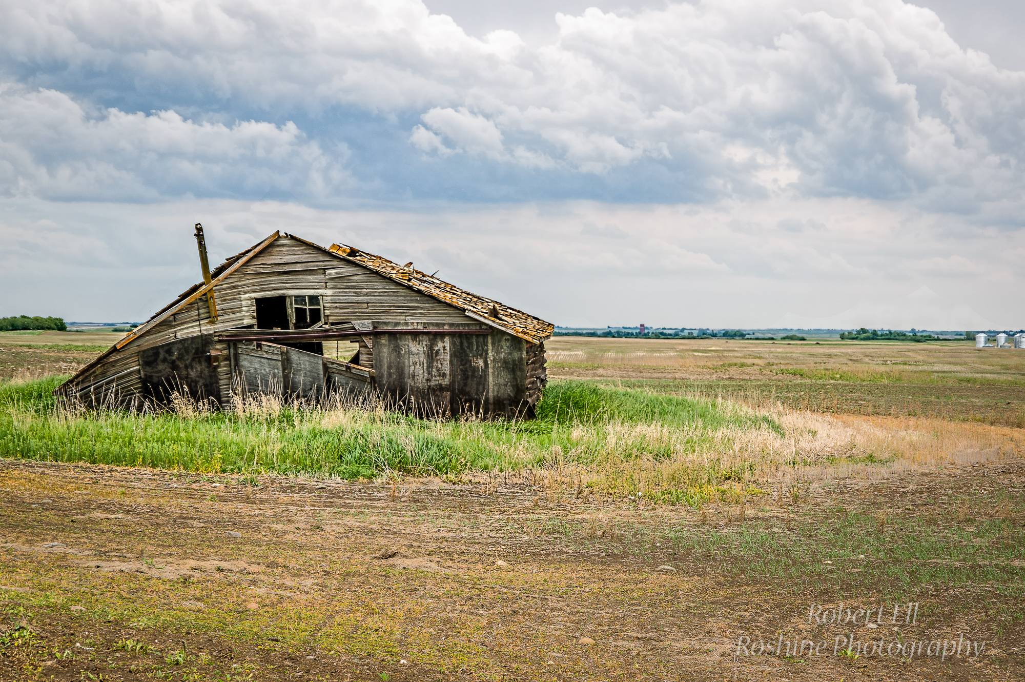
Fallen in the Field
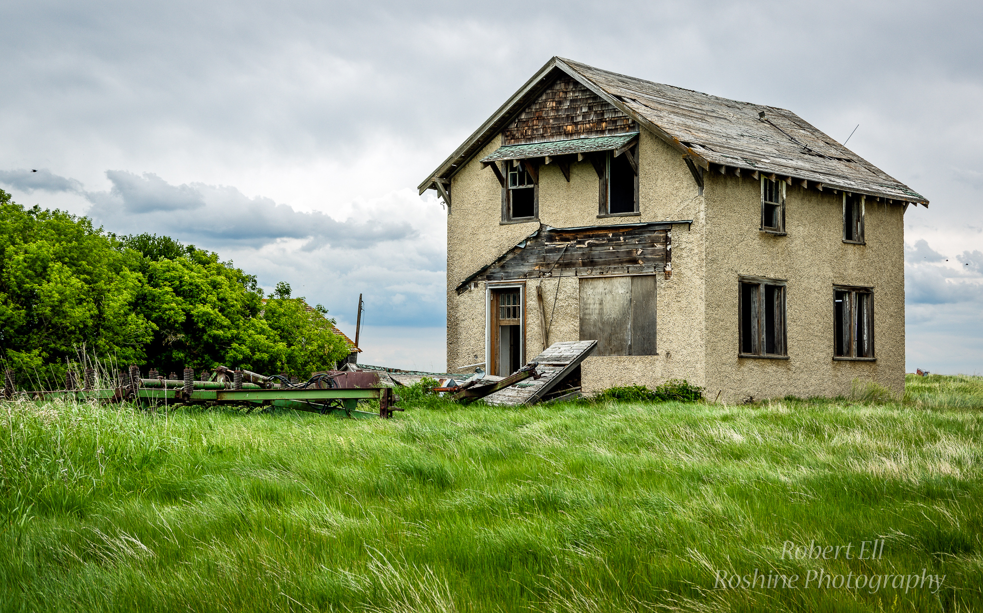
Machinery and Home

Kaili lindström
Topographic Map of Thunder Creek, SK S0H 0V0, Canada
Find elevation by address:

Places near Thunder Creek, SK S0H 0V0, Canada:
Enfield No. 194
Central Butte
Assiniboia St, Eyebrow, SK S0H 1L0, Canada
Eyebrow
Elbow
Minto St, Elbow, SK S0H 1J0, Canada
Brownlee
Herbert St, Brownlee, SK S0H 0M0, Canada
Loreburn
Loreburn No. 254
Glenside Post Office
419 Railway Ave
Glenside
32 6th St, Bladworth, SK S0G 0J0, Canada
Bladworth
Glenside Cemetery
Kenaston
4th St, Kenaston, SK S0G 2N0, Canada
Lincoln St, Hanley, SK S0G 2E0, Canada
13 Summerfeldt Dr, Dundurn, SK S0K 1K0, Canada
Recent Searches:
- Elevation of Unnamed Road, Respublika Severnaya Osetiya — Alaniya, Russia
- Elevation of Verkhny Fiagdon, North Ossetia–Alania Republic, Russia
- Elevation of F. Viola Hiway, San Rafael, Bulacan, Philippines
- Elevation of Herbage Dr, Gulfport, MS, USA
- Elevation of Lilac Cir, Haldimand, ON N3W 2G9, Canada
- Elevation of Harrod Branch Road, Harrod Branch Rd, Kentucky, USA
- Elevation of Wyndham Grand Barbados Sam Lords Castle All Inclusive Resort, End of Belair Road, Long Bay, Bridgetown Barbados
- Elevation of Iga Trl, Maggie Valley, NC, USA
- Elevation of N Co Rd 31D, Loveland, CO, USA
- Elevation of Lindever Ln, Palmetto, FL, USA