Elevation of Thornburg Peak, Markleeville, CA, USA
Location: United States > California > Markleeville >
Longitude: -119.84962
Latitude: 38.6496292
Elevation: 2603m / 8540feet
Barometric Pressure: 74KPa
Elevation Map:
Satellite Map:
Related Photos:
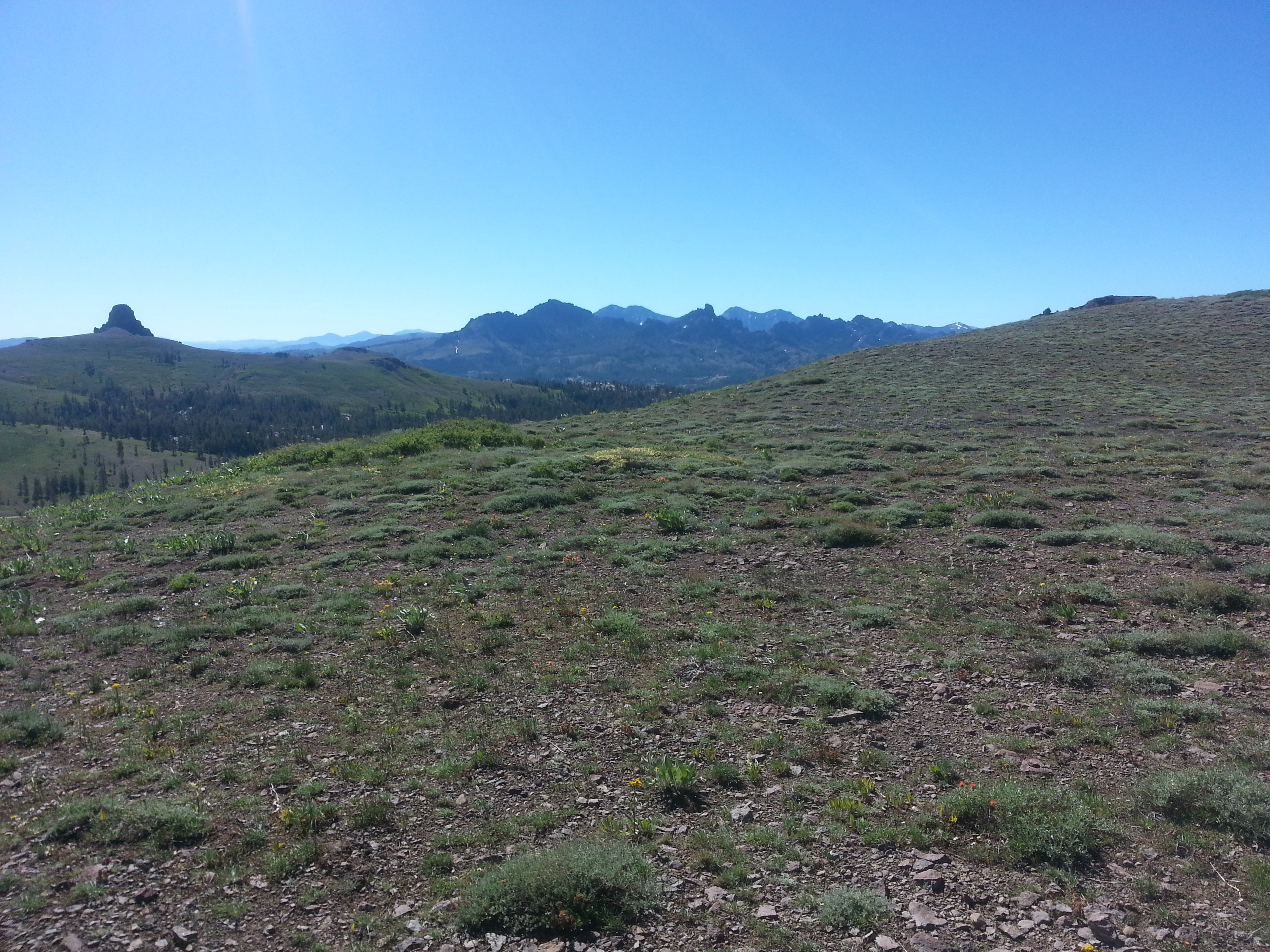
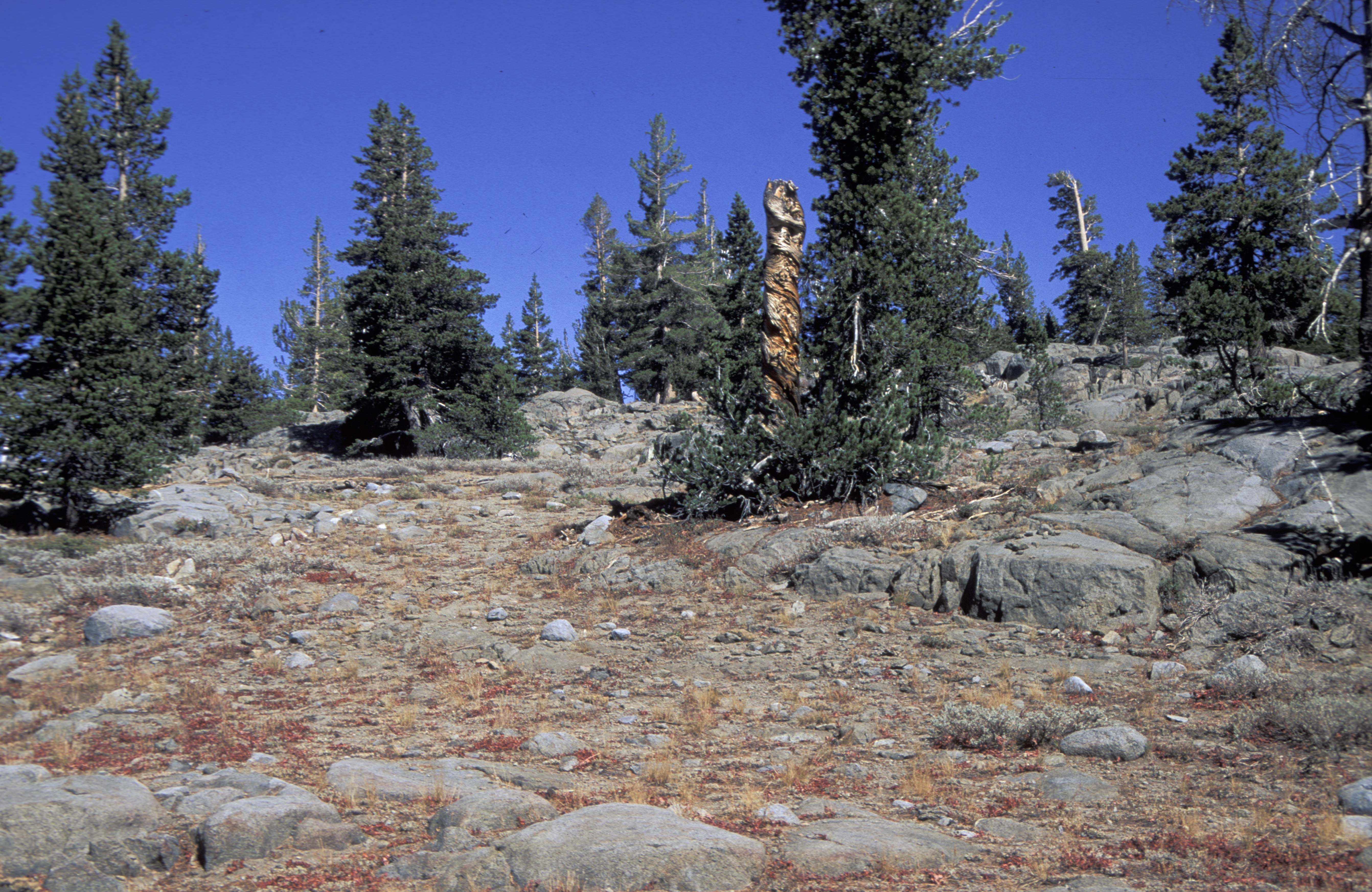
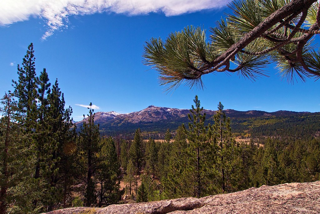
View SE to Raymond peak
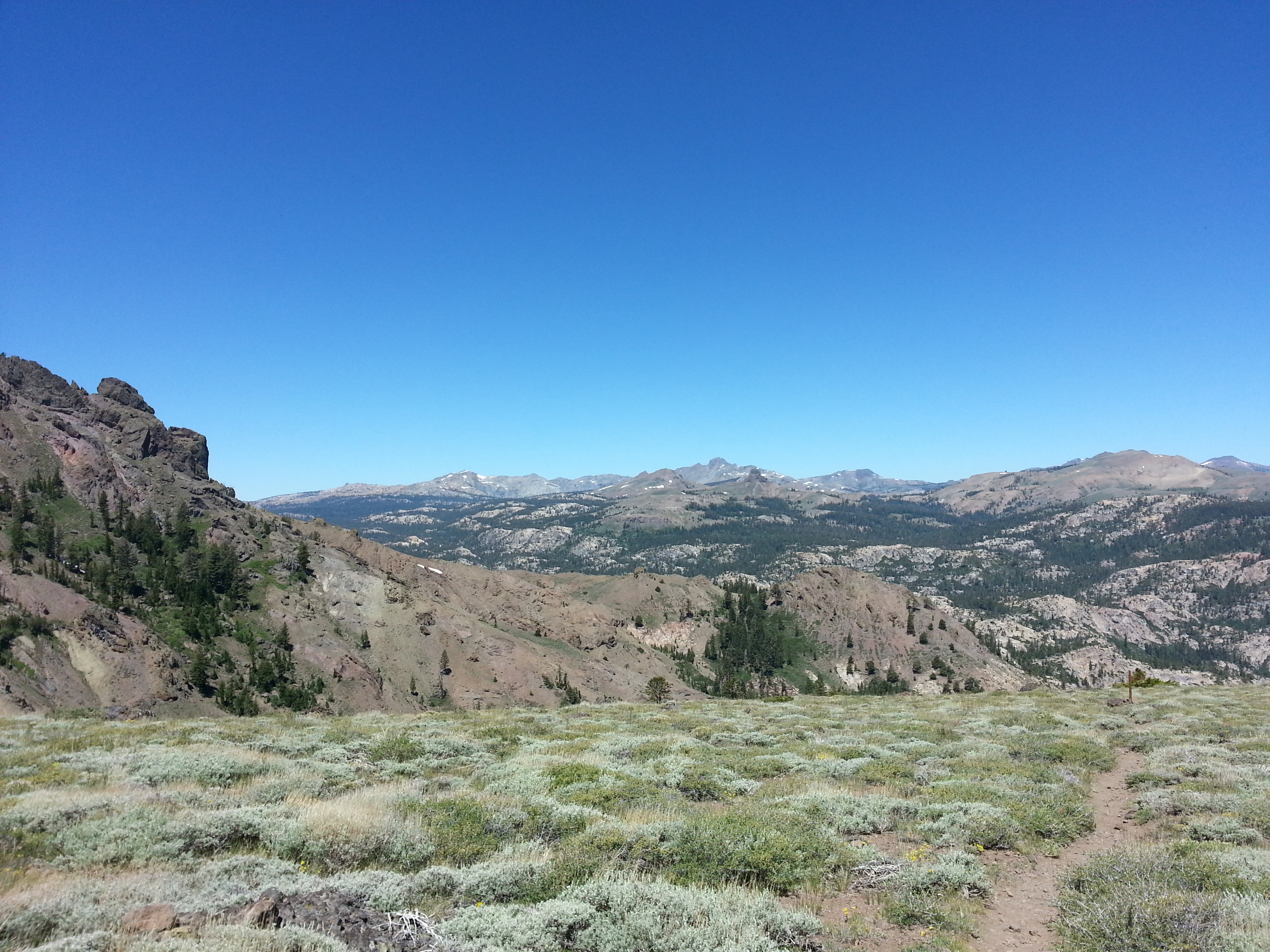
First view to Roundtop
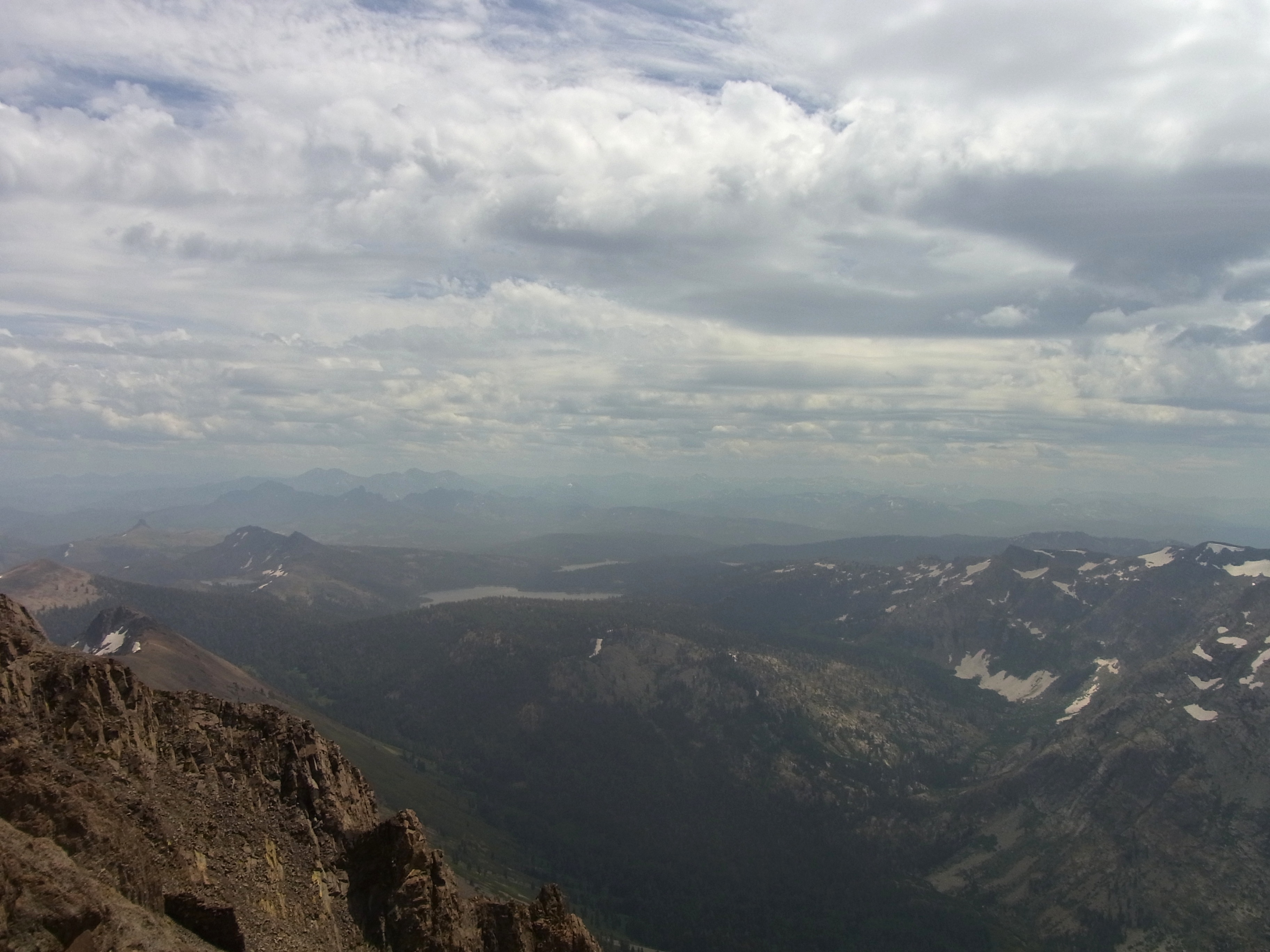
Round top hazy view south
Carson_Pass_Alpine_Cty_CA_2006_07_02_001.jpg
view, trees, Carson Pass, Lake Tahoe, CA 2002_09 001.jpg
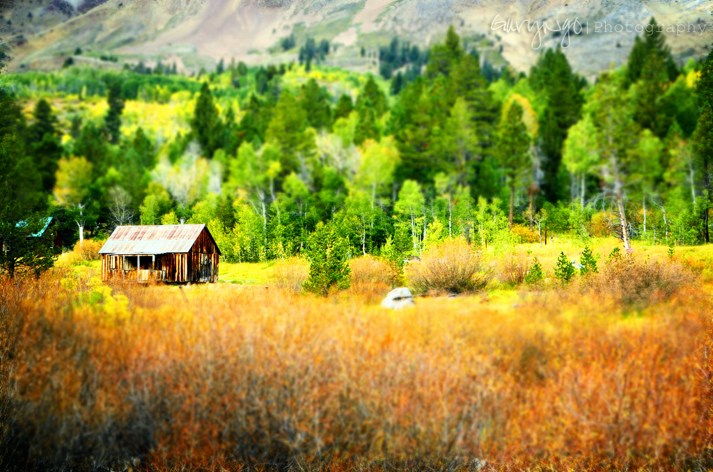
Autumn Painting
Burnside Lake, California

View from Winnemucca Lake Trail
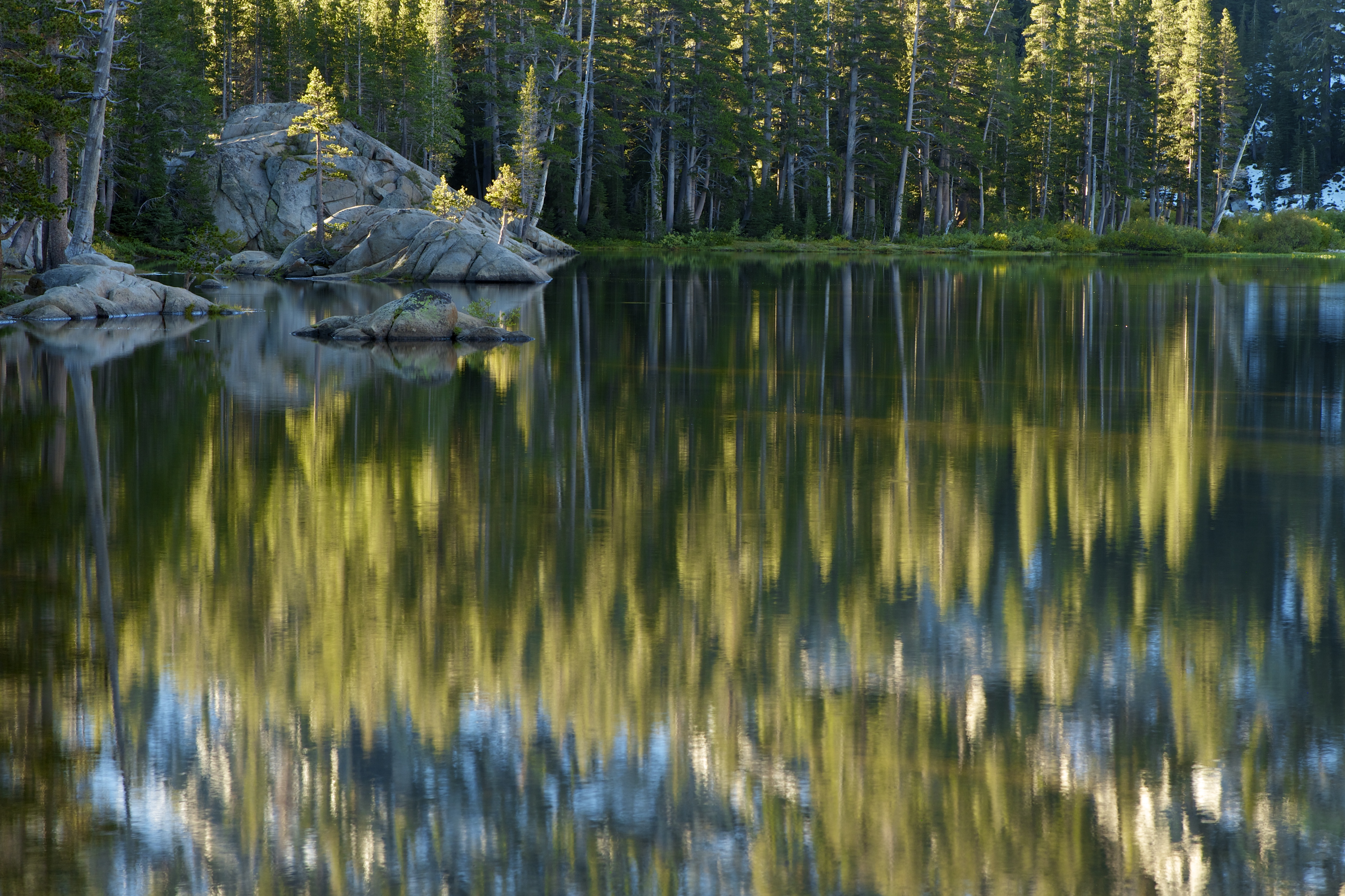
Sun Streaks and Reflected Forest
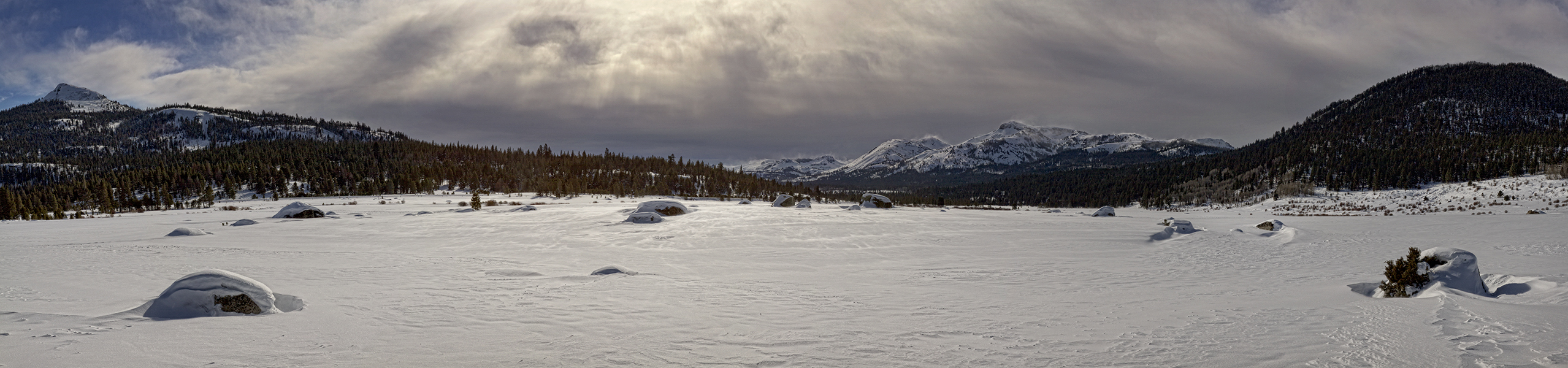
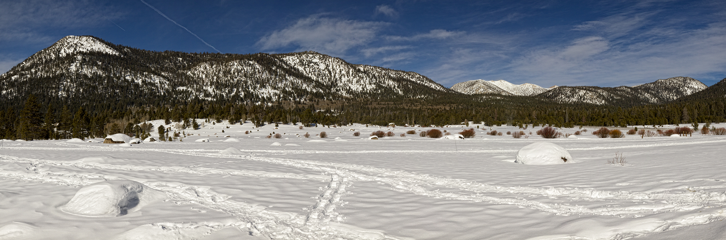
Snowy Landscape Panorama
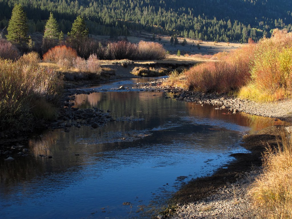
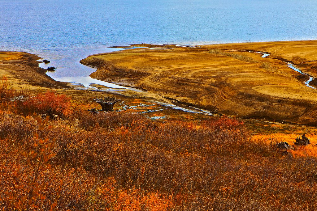
Stream of Dreams
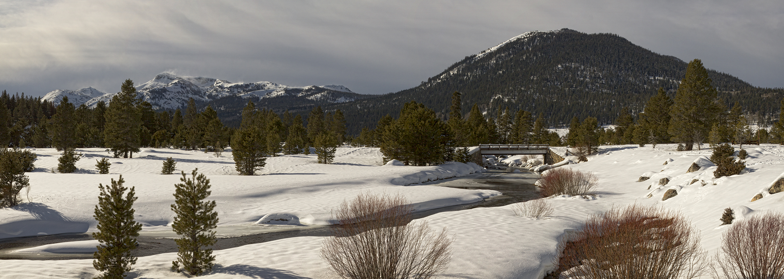
Snowy Bridge Panorama
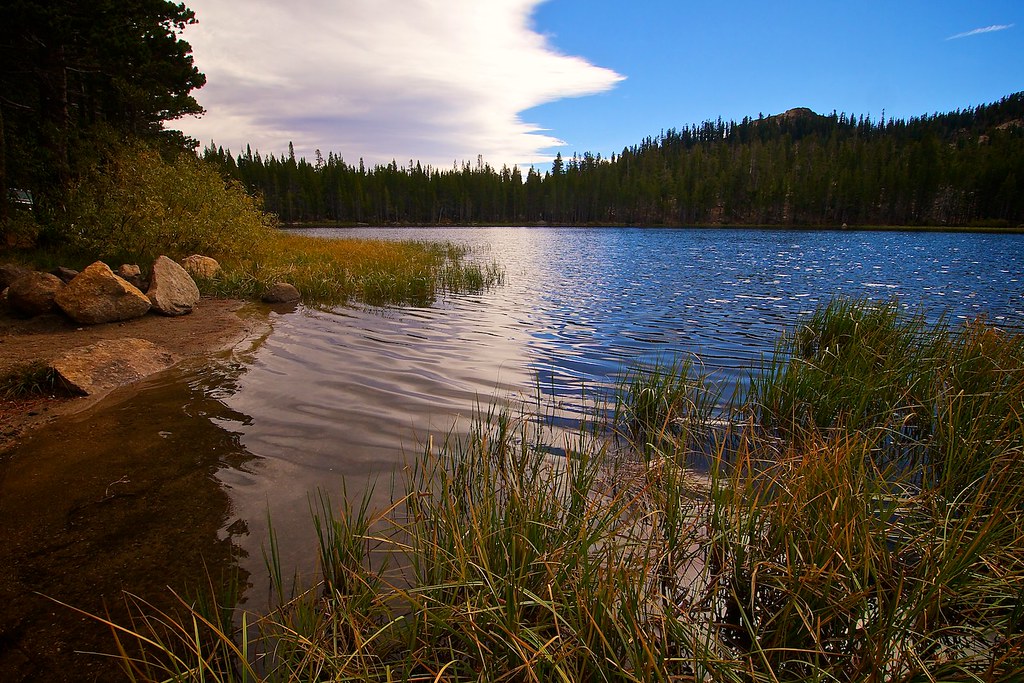
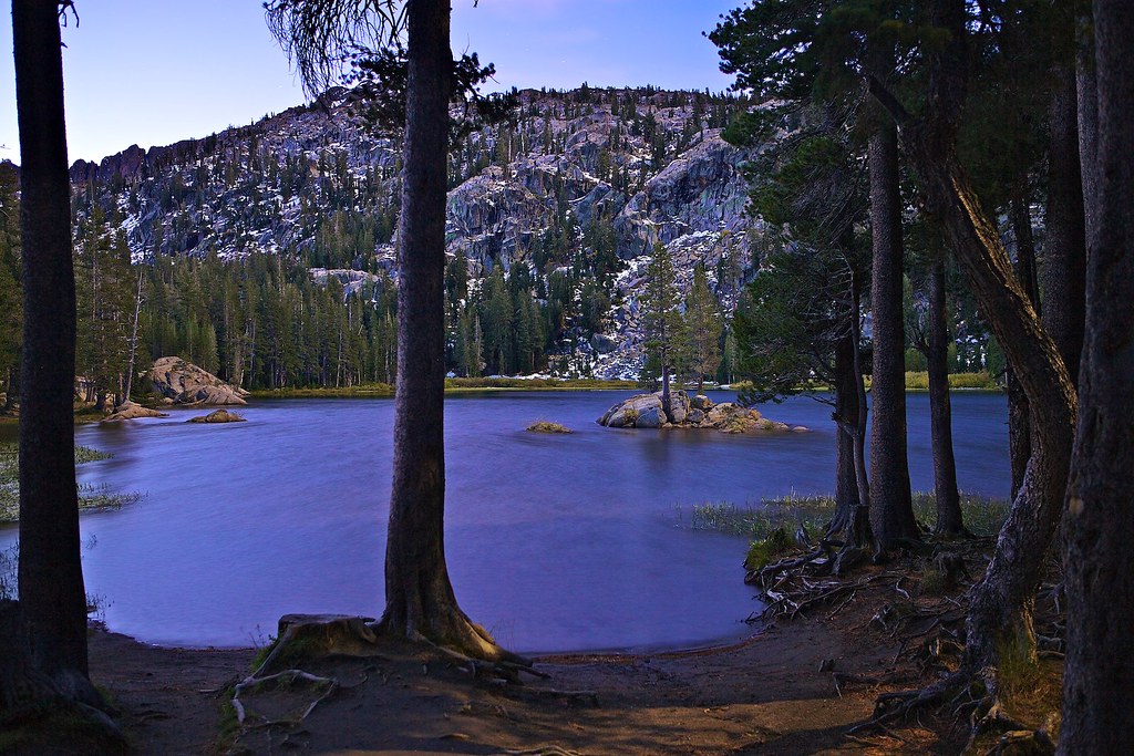
Red Lake
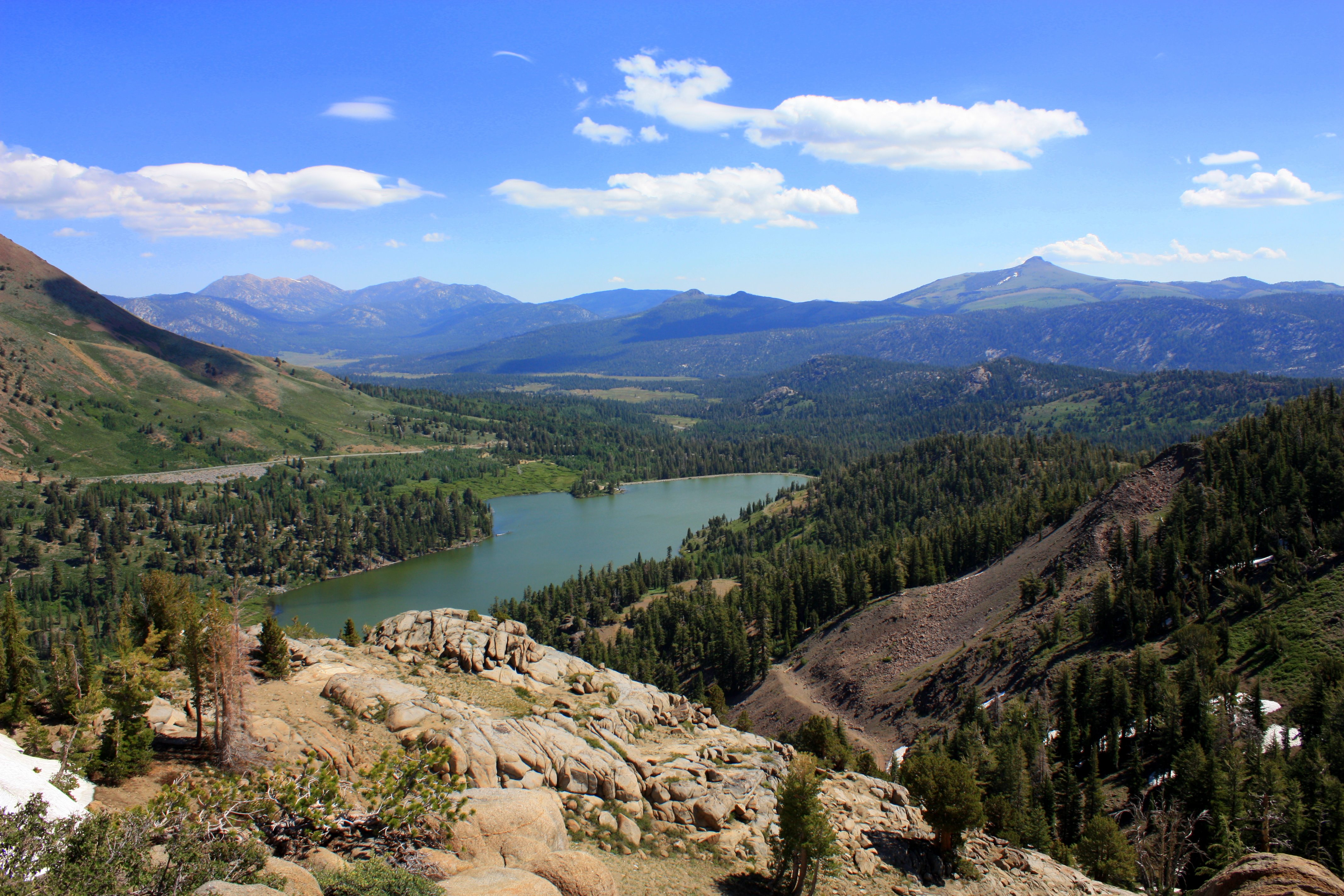
The View Beyond

Wind Across Red Lake
Red Lake, Alpine County
Upper Blue Lake_1
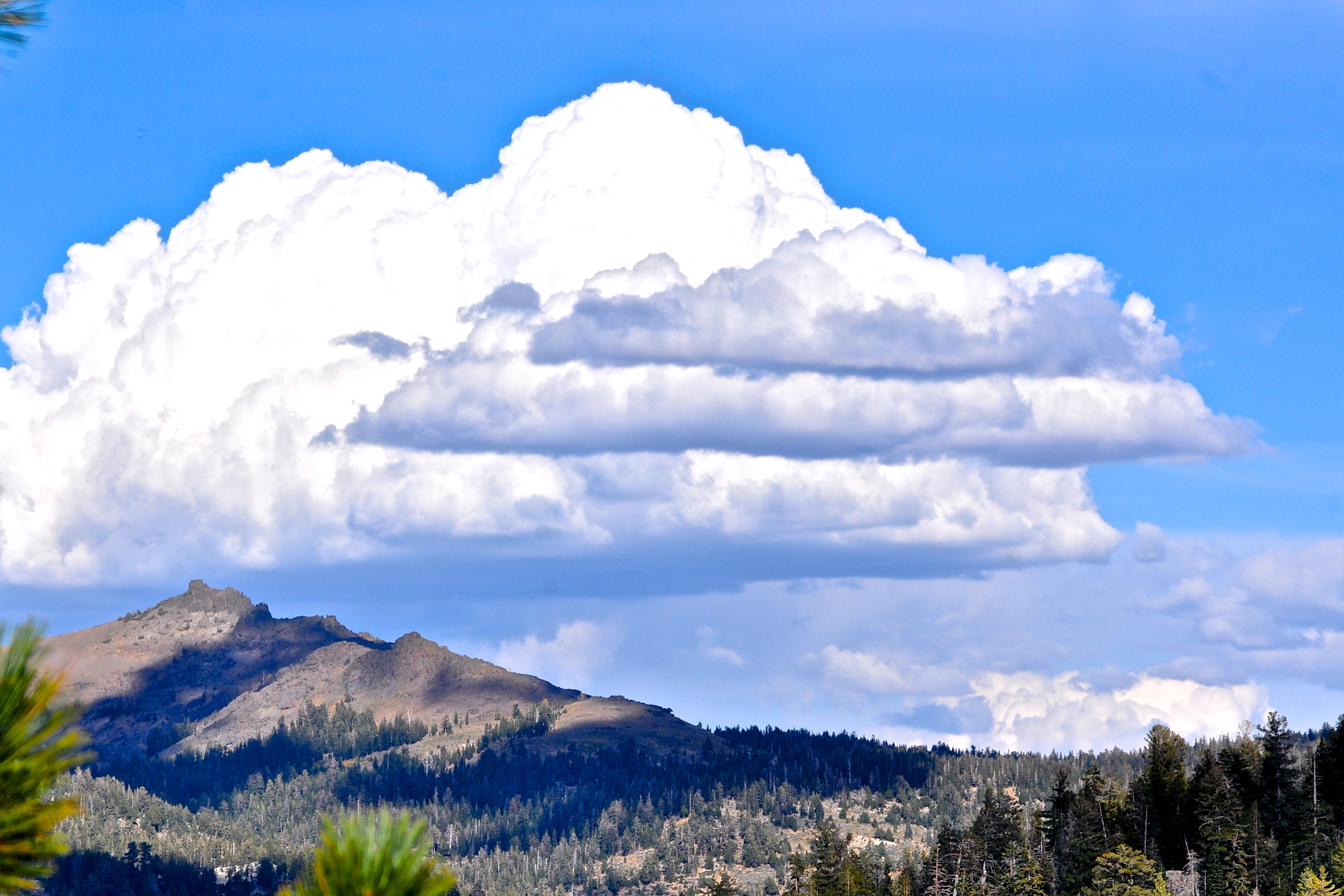
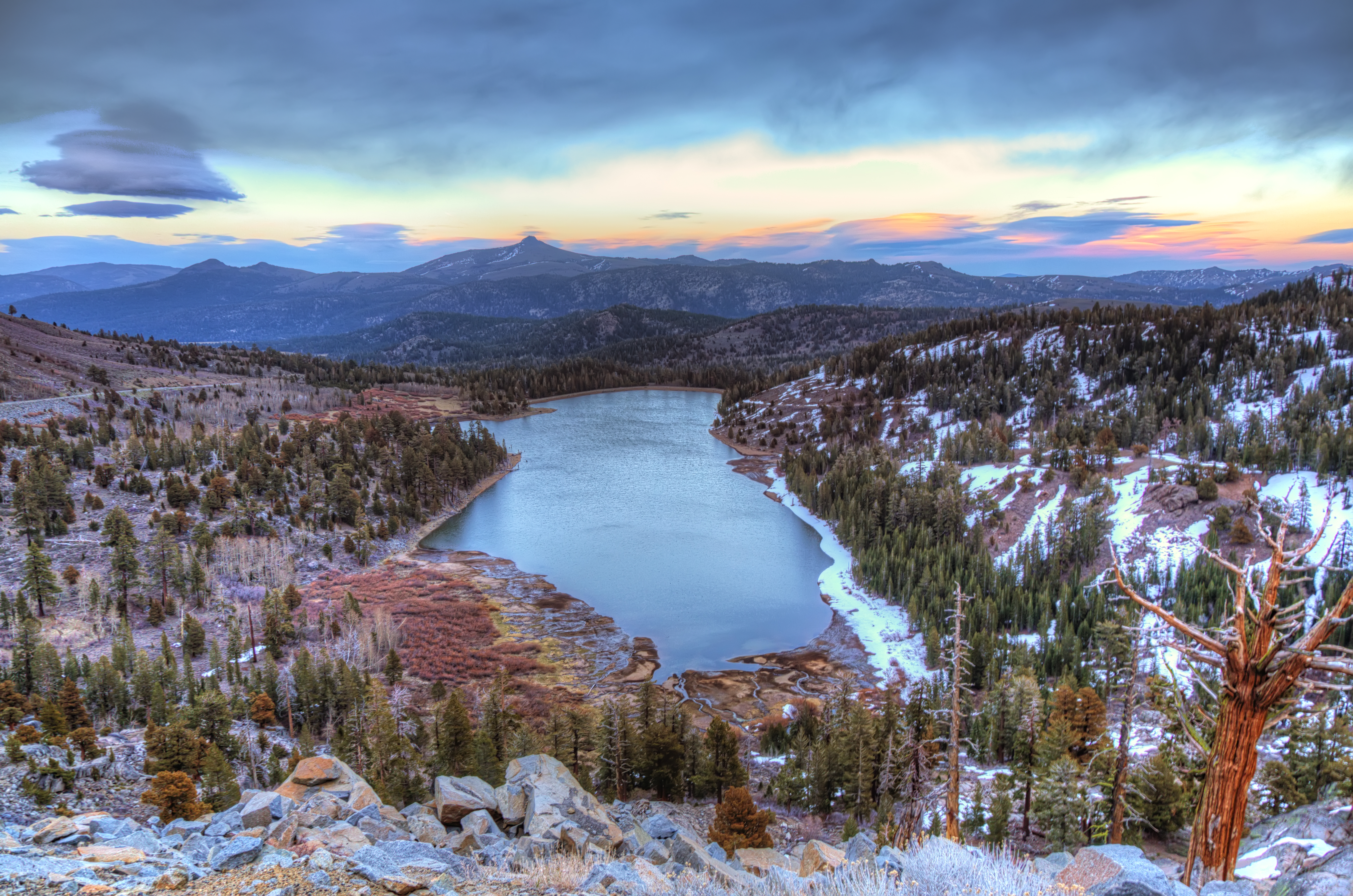
SIERRA SKY
Hope Valley, California_1

Red Lake
Woods Lake before sunrise
Topographic Map of Thornburg Peak, Markleeville, CA, USA
Find elevation by address:

Places near Thornburg Peak, Markleeville, CA, USA:
Shay Creek Rd, Markleeville, CA, USA
Raymond Peak
Markleeville Peak
Alpine County
66 Pleasant Valley Rd, Markleeville, CA, USA
Reynolds Peak
Markleeville
The Nipple
Hawkins Peak
Ebbetts Pass
Crystal Springs Road
214 Crystal Springs Rd
Pickett Peak
1937 Alpine State Hwy
Blue Camas Road
95 Woodfords Ln
Alpine Village
2 Sage Ave, Markleeville, CA, USA
Hope Valley
CA-88, Markleeville, CA, USA
Recent Searches:
- Elevation of Corso Fratelli Cairoli, 35, Macerata MC, Italy
- Elevation of Tallevast Rd, Sarasota, FL, USA
- Elevation of 4th St E, Sonoma, CA, USA
- Elevation of Black Hollow Rd, Pennsdale, PA, USA
- Elevation of Oakland Ave, Williamsport, PA, USA
- Elevation of Pedrógão Grande, Portugal
- Elevation of Klee Dr, Martinsburg, WV, USA
- Elevation of Via Roma, Pieranica CR, Italy
- Elevation of Tavkvetili Mountain, Georgia
- Elevation of Hartfords Bluff Cir, Mt Pleasant, SC, USA