Elevation of Thompson St, Sheffield, IA, USA
Location: United States > Iowa > Franklin County > Sheffield >
Longitude: -93.219755
Latitude: 42.89397
Elevation: 330m / 1083feet
Barometric Pressure: 97KPa
Elevation Map:
Satellite Map:
Related Photos:

Big sky

Change of scenery.

Welcome to Iowa

up 4937chapin

Last home game

Last home game daaayyy

I-35 Northern Iowa
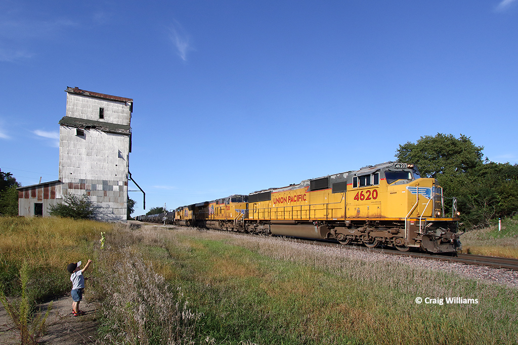
UP 4620 Southbound MSSDM at Chapin IA
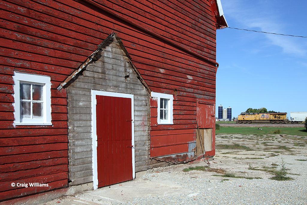
UP 7613 Northbound MKCCN North of Chapin IA

CSXT 255378
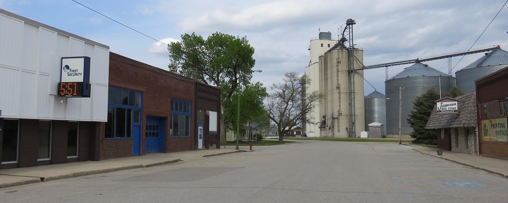
Downtown Thornton, Iowa
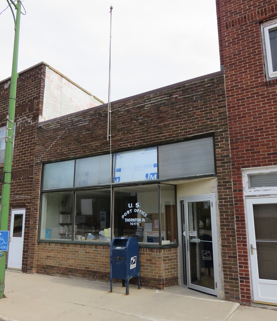
Post Office 50479 (Thornton, Iowa)
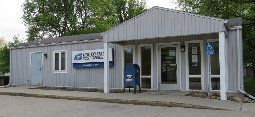
Post Office 50477 (Swaledale, Iowa)
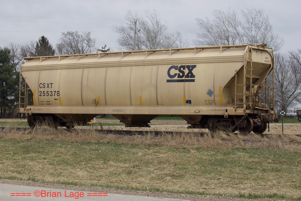
CSXT 255378

Beed's Lake State Park

Beed's Lake State Park

4 Years

Beed's Lake State Park
Rockwell Ag Center, kinda
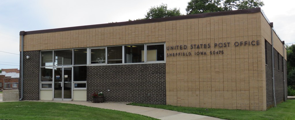
Post Office 50475 (Sheffield, Iowa)

Besökare Samtidigt
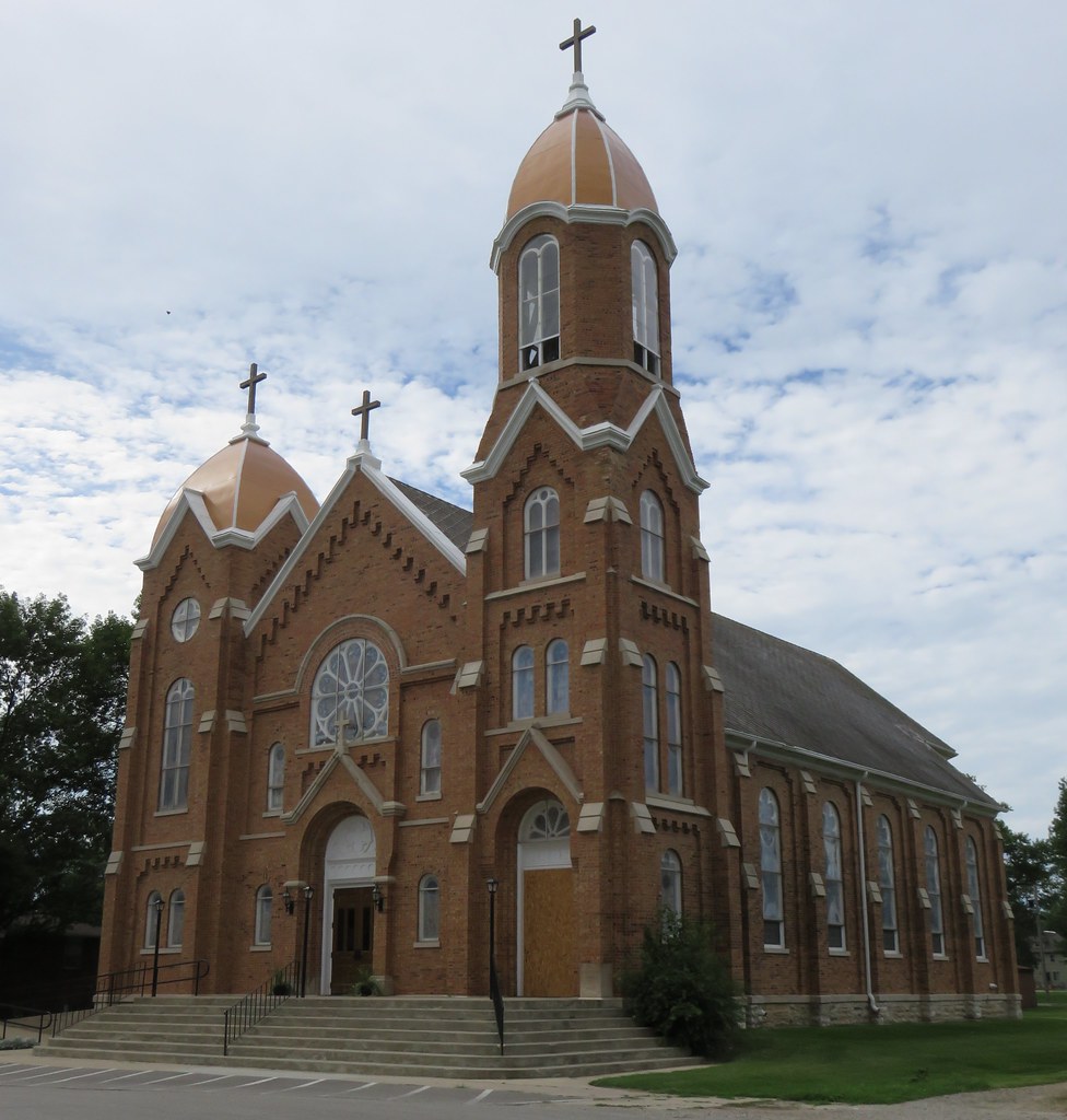
Sacred Heart Catholic Church (Rockwell, Iowa)
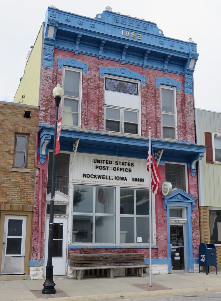
Post Office 50469 (Rockwell, Iowa)
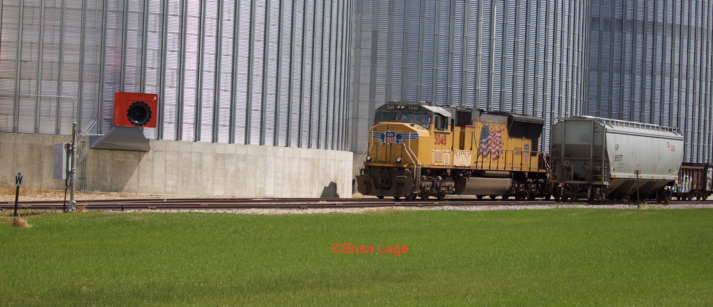
UP 5048 Chapin

Last home game

Last home game

Last home game
Topographic Map of Thompson St, Sheffield, IA, USA
Find elevation by address:

Places near Thompson St, Sheffield, IA, USA:
N 3rd St, Sheffield, IA, USA
Sheffield
Geneseo
Rockwell
1st St N, Rockwell, IA, USA
Pleasant Valley
Swaledale
Main St, Swaledale, IA, USA
16954 200th St
Marion
Main Street
Larch St, Thornton, IA, USA
Thornton
Spruce Ave, Mason City, IA, USA
Franklin County
N Akir St, Latimer, IA, USA
Latimer
Owen
Mason
34 Main, Latimer, IA, USA
Recent Searches:
- Elevation of 6 Rue Jules Ferry, Beausoleil, France
- Elevation of Sattva Horizon, 4JC6+G9P, Vinayak Nagar, Kattigenahalli, Bengaluru, Karnataka, India
- Elevation of Great Brook Sports, Gold Star Hwy, Groton, CT, USA
- Elevation of 10 Mountain Laurels Dr, Nashua, NH, USA
- Elevation of 16 Gilboa Ln, Nashua, NH, USA
- Elevation of Laurel Rd, Townsend, TN, USA
- Elevation of 3 Nestling Wood Dr, Long Valley, NJ, USA
- Elevation of Ilungu, Tanzania
- Elevation of Yellow Springs Road, Yellow Springs Rd, Chester Springs, PA, USA
- Elevation of Rēzekne Municipality, Latvia