Elevation of Thompson Rd, Dickson, TN, USA
Location: United States > Tennessee > Dickson County > Dickson >
Longitude: -87.531488
Latitude: 36.149231
Elevation: 229m / 751feet
Barometric Pressure: 99KPa
Elevation Map:
Satellite Map:
Related Photos:

the view from down here
future home

Walker toy from Grandma & Grandpa
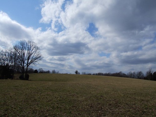
The War of Summer and Winter

HDR Sunset - Dickson, TN

Altrd Perspectv

HDR Sunset - Dickson, TN
rainy day

HDR Sunset - Dickson, TN

HDR Sunset - Dickson, TN
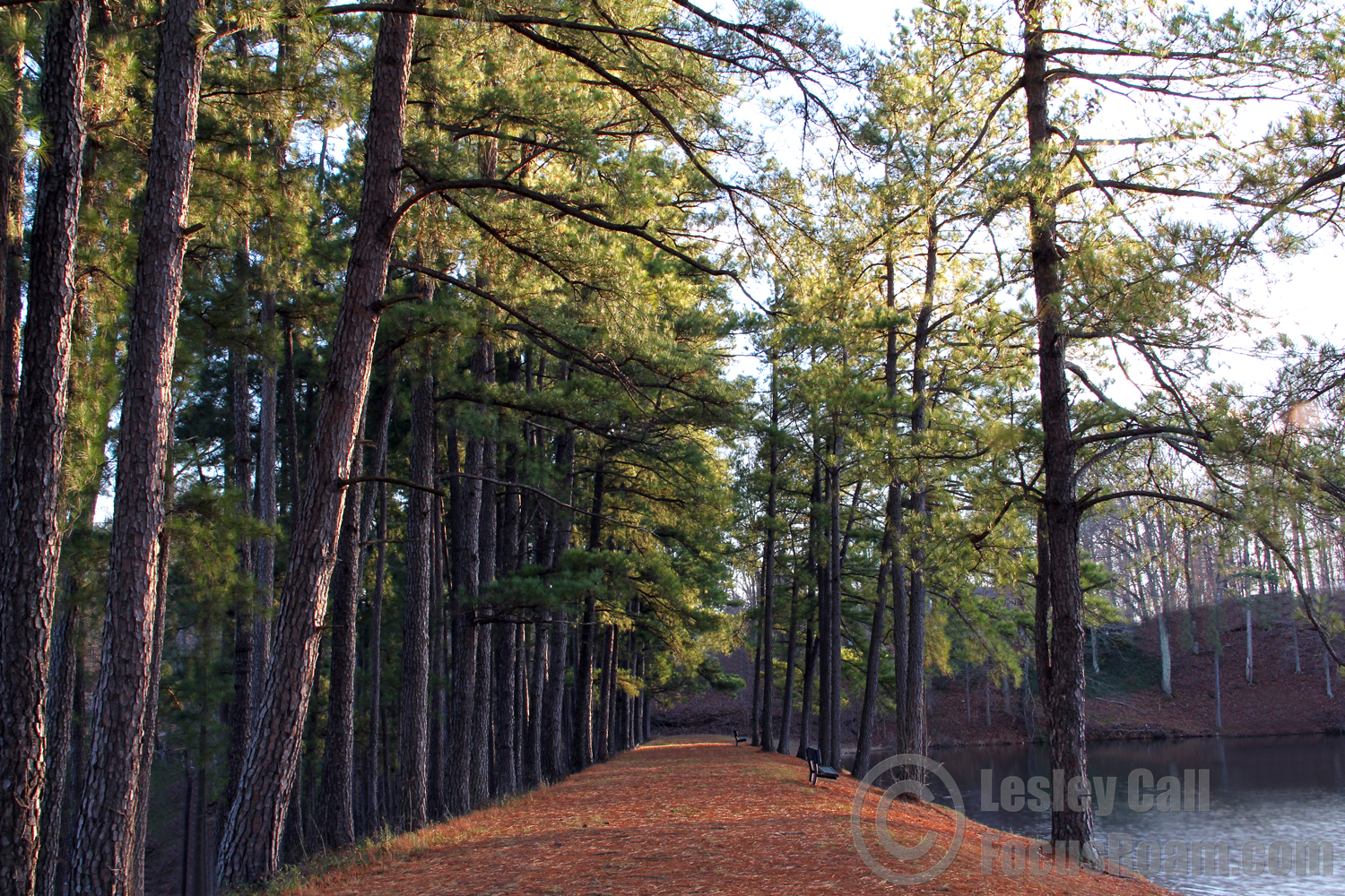
Tree Lined Path
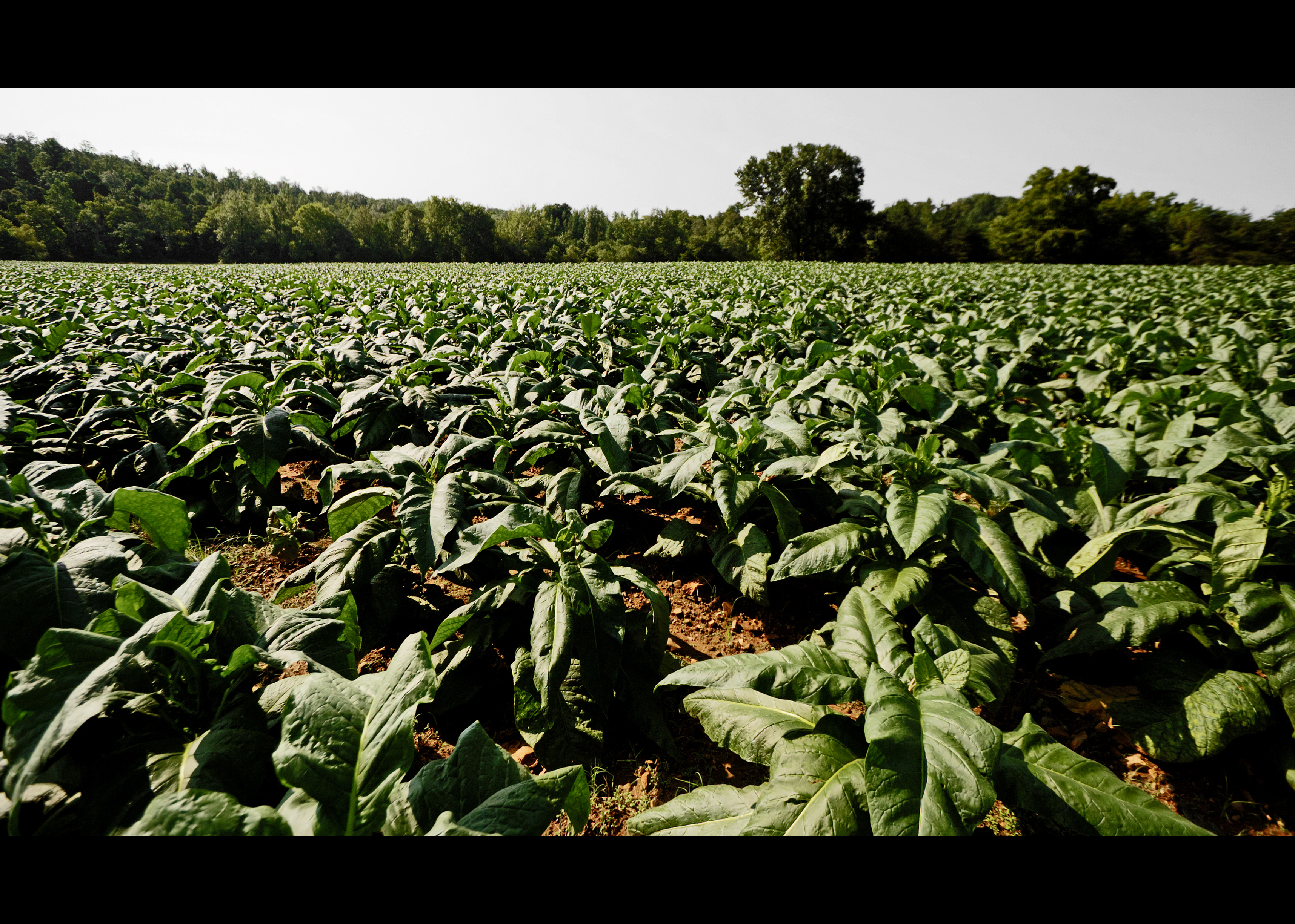
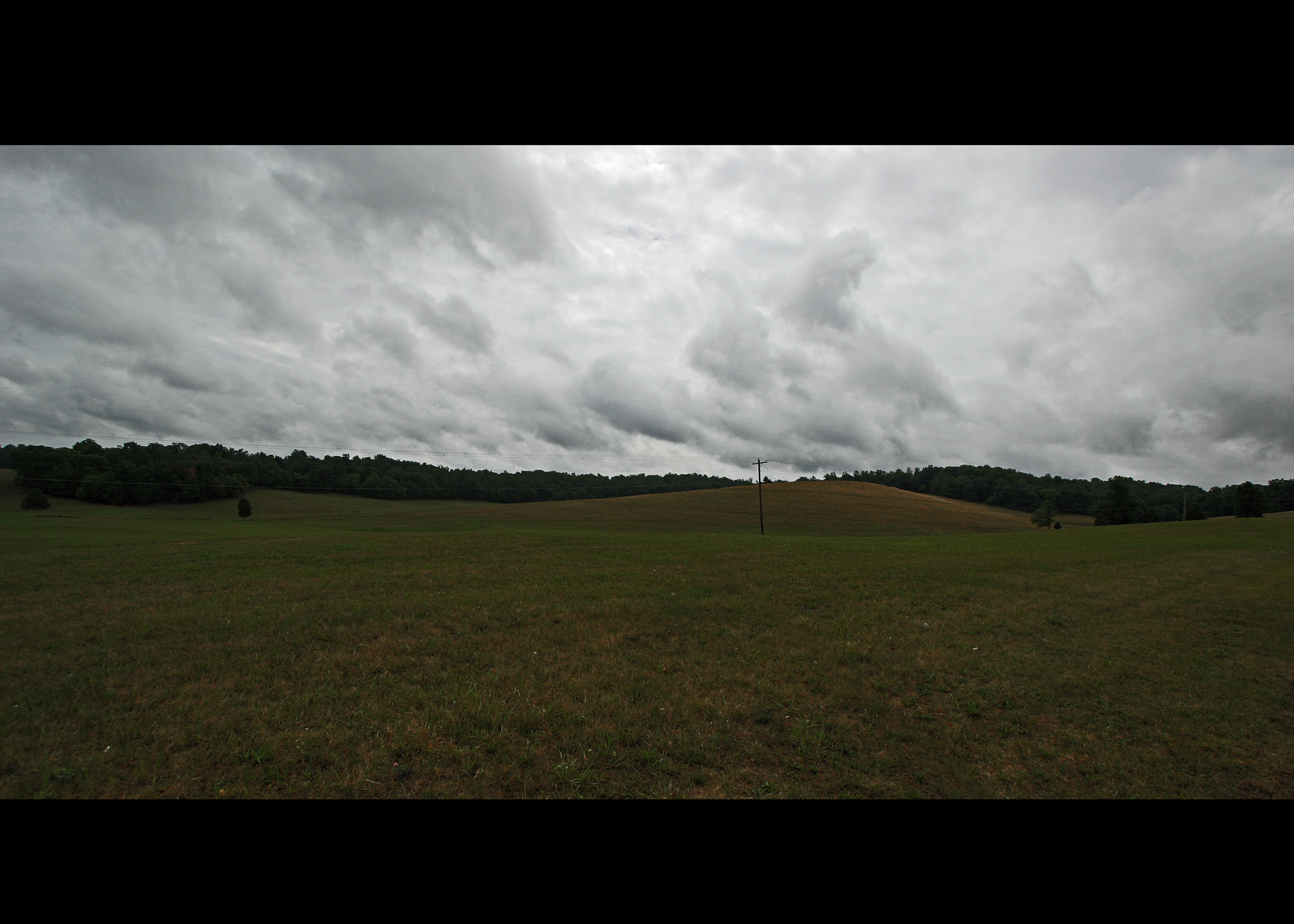
Tobacco Field
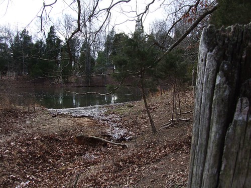
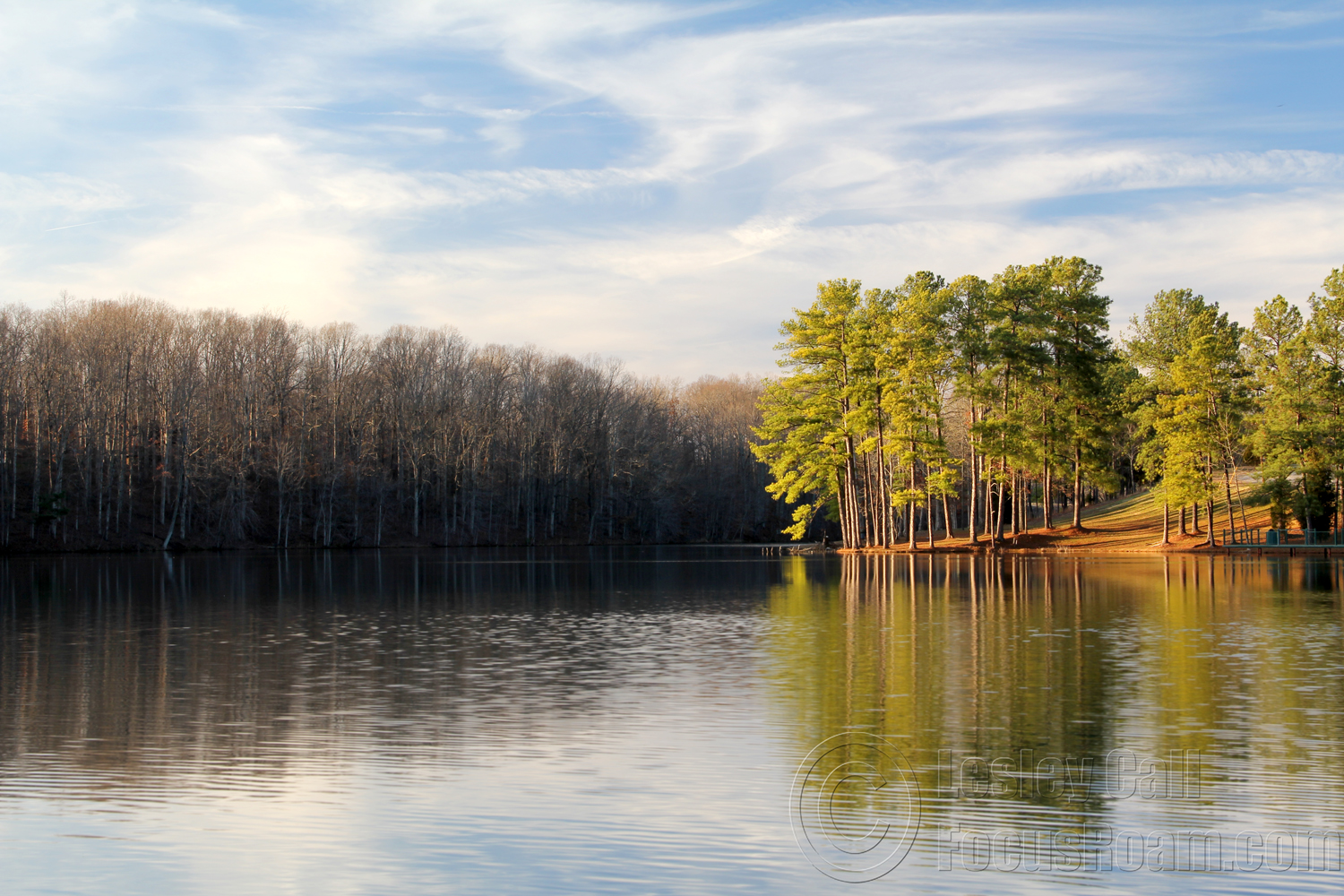
the pond
Topographic Map of Thompson Rd, Dickson, TN, USA
Find elevation by address:

Places near Thompson Rd, Dickson, TN, USA:
Union Rd, Dickson, TN, USA
Hortense Rd, Dickson, TN, USA
1200 Eno Rd
Baker Cemetery Rd, Dickson, TN, USA
1062 Westfield Rd
Dickson
Radioshack
Sulphur Fork Road
565 Fussell Rd
Charlotte
1675 Columbia Rd
214 Old Columbia Rd
239 Old Columbia Rd
Bishop Ln, Burns, TN, USA
Larkins Cemetery Road
1074 Rock Church Rd
Dickson County
Burns
1221 Hardwood Trail
312 Beechwood Dr
Recent Searches:
- Elevation of Felindre, Swansea SA5 7LU, UK
- Elevation of Leyte Industrial Development Estate, Isabel, Leyte, Philippines
- Elevation of W Granada St, Tampa, FL, USA
- Elevation of Pykes Down, Ivybridge PL21 0BY, UK
- Elevation of Jalan Senandin, Lutong, Miri, Sarawak, Malaysia
- Elevation of Bilohirs'k
- Elevation of 30 Oak Lawn Dr, Barkhamsted, CT, USA
- Elevation of Luther Road, Luther Rd, Auburn, CA, USA
- Elevation of Unnamed Road, Respublika Severnaya Osetiya — Alaniya, Russia
- Elevation of Verkhny Fiagdon, North Ossetia–Alania Republic, Russia