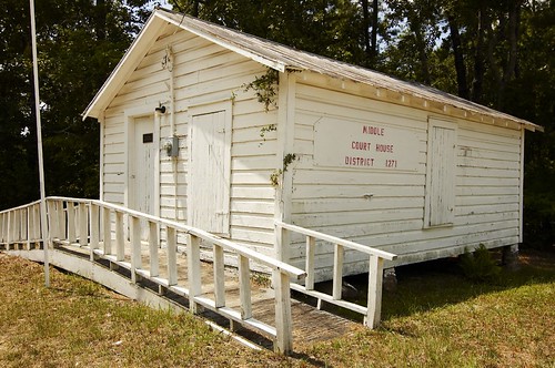
Elevation of Thomas Dorsey Dr, Villa Rica, GA, USA
Location: United States > Georgia > Carroll County > Villa Rica >
Longitude: -84.925999
Latitude: 33.7236277
Elevation: 387m / 1270feet
Barometric Pressure: 97KPa
Related Photos:
Topographic Map of Thomas Dorsey Dr, Villa Rica, GA, USA
Find elevation by address:

Places near Thomas Dorsey Dr, Villa Rica, GA, USA:
106 Ashbury Dr
221 Maple St
Villa Rica
Rockmart Rd, Villa Rica, GA, USA
9725 Lakemoore Cove
2405 Ridgelake Dr
Lake Dr, Villa Rica, GA, USA
US-78, Villa Rica, GA, USA
1788 Daniel Rd
3325 Lakeview Pkwy
349 Lakeridge Dr
Red Bud Dr, Villa Rica, GA, USA
3692 Post Rd
740 Sandhill Hickory Level Rd
Post Rd, Winston, GA, USA
Winston
Temple
Banks Mill Rd, Douglasville, GA, USA
Red Oak Dr, Winston, GA, USA
Post Rd, Douglasville, GA, USA
Recent Searches:
- Elevation of 15th Ave SE, St. Petersburg, FL, USA
- Elevation of Beall Road, Beall Rd, Florida, USA
- Elevation of Leguwa, Nepal
- Elevation of County Rd, Enterprise, AL, USA
- Elevation of Kolchuginsky District, Vladimir Oblast, Russia
- Elevation of Shustino, Vladimir Oblast, Russia
- Elevation of Lampiasi St, Sarasota, FL, USA
- Elevation of Elwyn Dr, Roanoke Rapids, NC, USA
- Elevation of Congressional Dr, Stevensville, MD, USA
- Elevation of Bellview Rd, McLean, VA, USA


