Elevation of Thomas County, KS, USA
Location: United States > Kansas >
Longitude: -101.07117
Latitude: 39.3702882
Elevation: 969m / 3179feet
Barometric Pressure: 90KPa
Elevation Map:
Satellite Map:
Related Photos:

Quick night stop

SAN-NYC (377)
SAN-NYC (379)
SAN-NYC (380)
SAN-NYC (378)

Double rainbow!

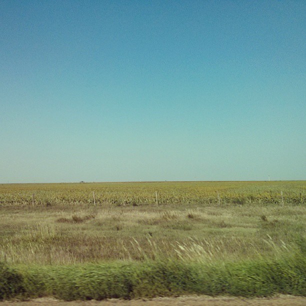
Kansas Corn
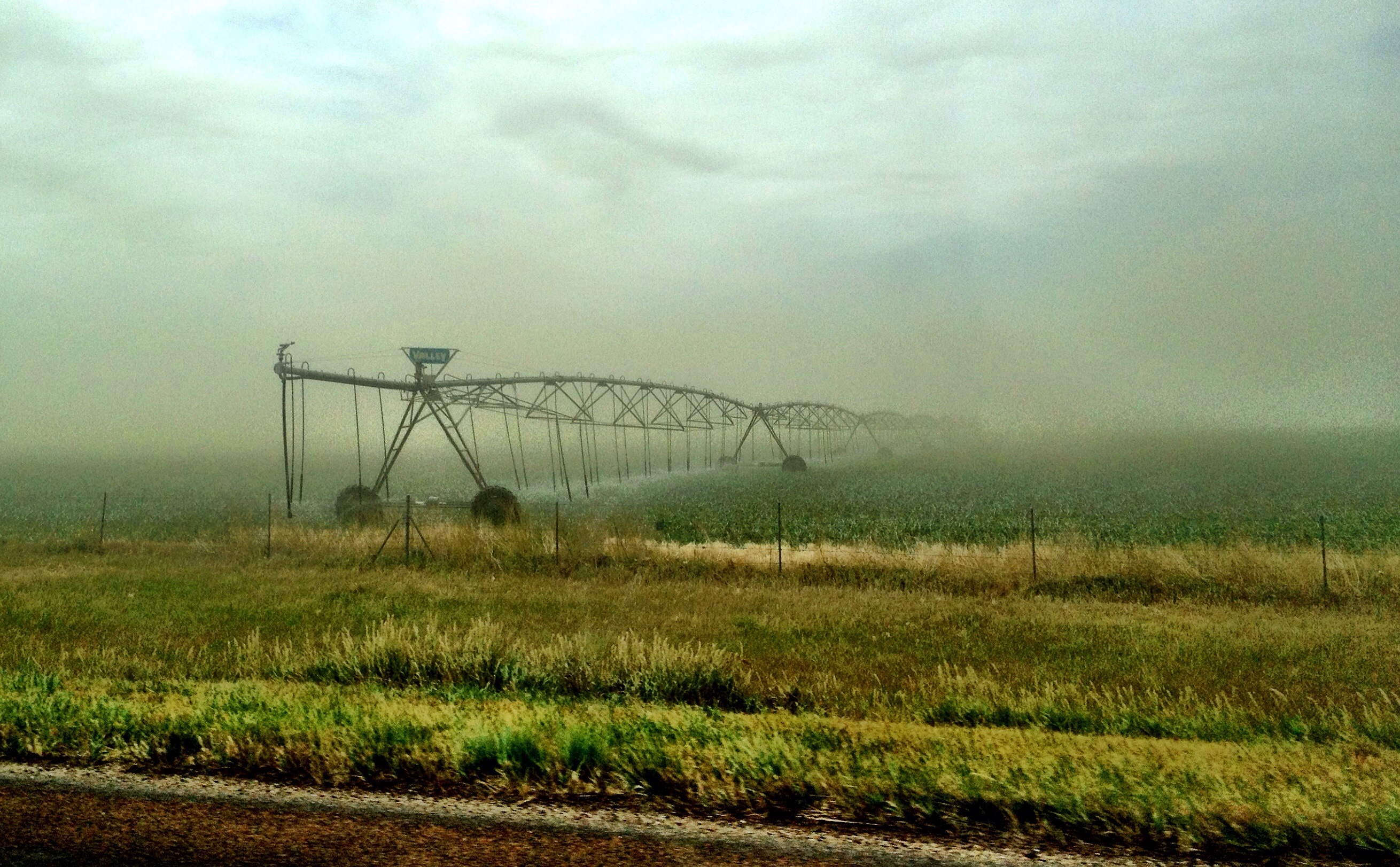
Windy Fields of Kansas

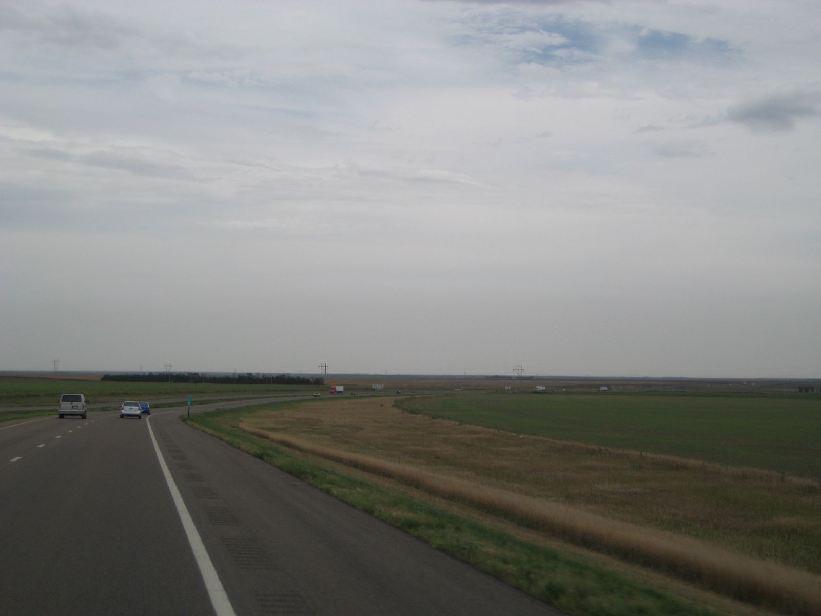
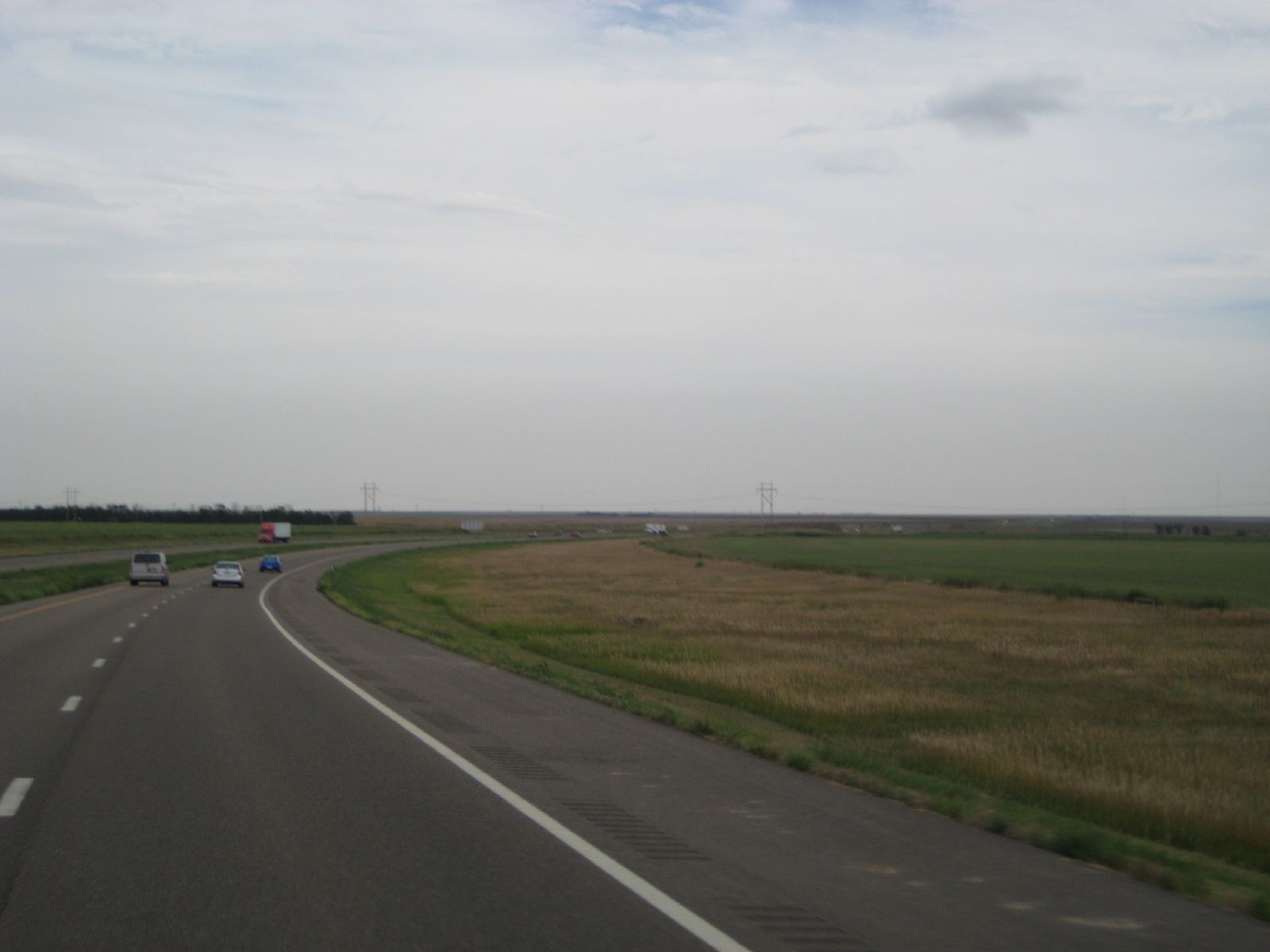
Western Kansas in a nut shell, Kansas
"Go West, young man, go West and grow up with the country. "
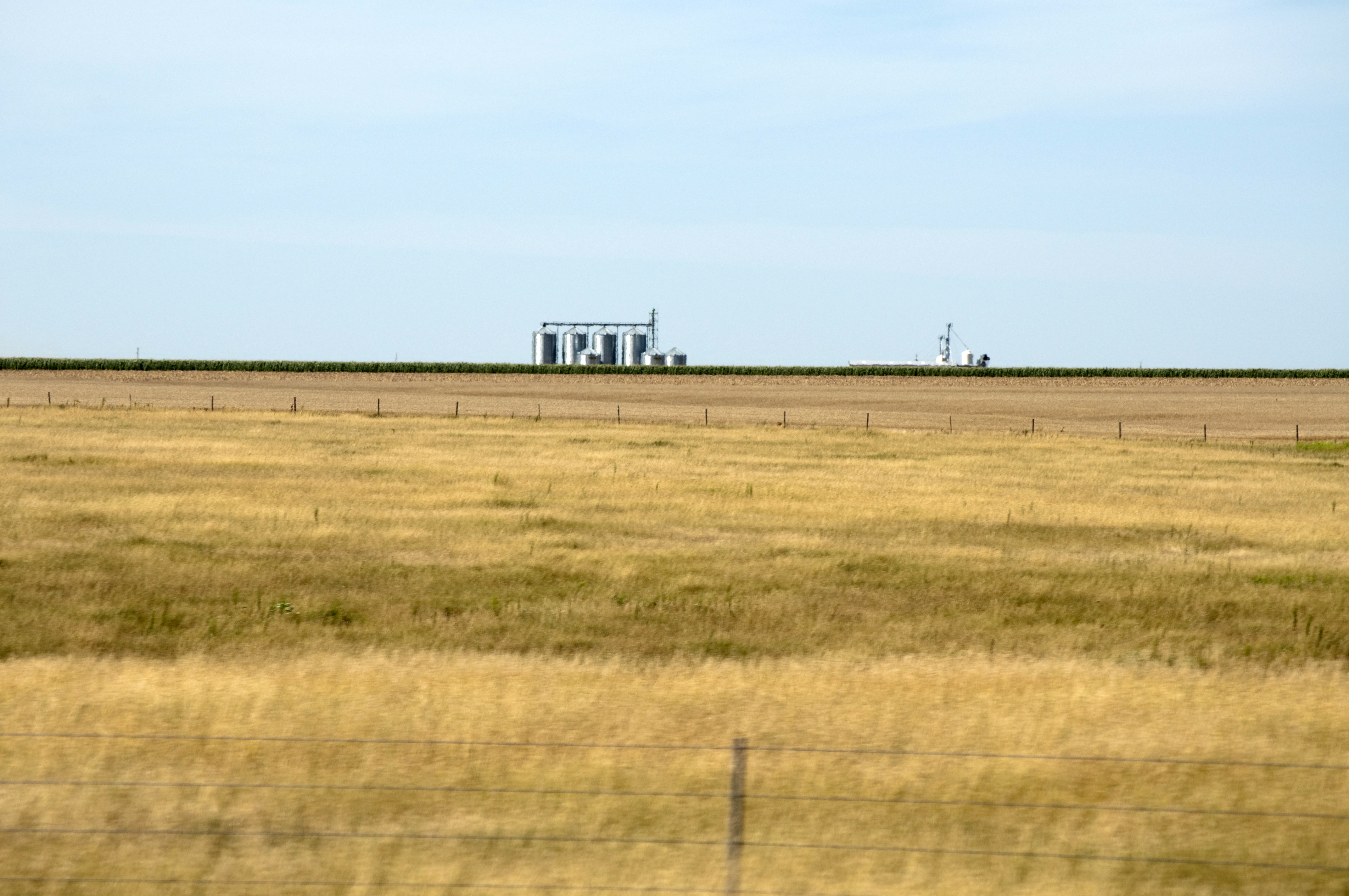
Endless Corn

Day 3 #nofilter
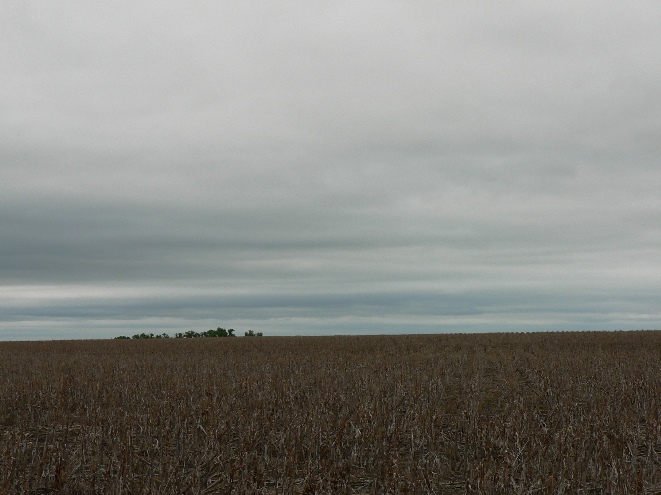
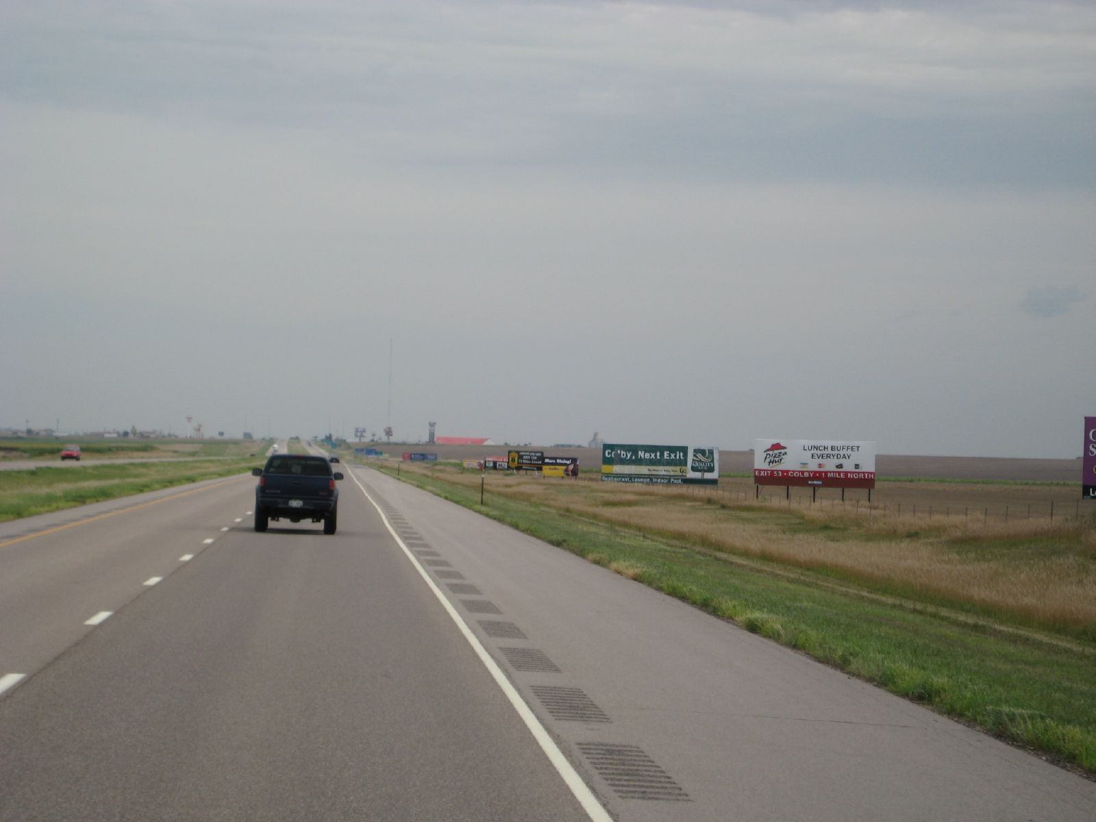
Rest Stops

Sun Dogs
Topographic Map of Thomas County, KS, USA
Find elevation by address:

Places in Thomas County, KS, USA:
Places near Thomas County, KS, USA:
Monument
US-40, Winona, KS, USA
2502 Zest
Winona
Oakley
Winona
Oakley
Logan County
Grainfield
Gove County
Gove City
W Rd, Scott City, KS, USA
11260 W Rd 240
Beaver
Scott County
Quinter
Scott City
911 Myrtle St
River Rd, Hill City, KS, USA
Collyer
Recent Searches:
- Elevation of Fern Rd, Whitmore, CA, USA
- Elevation of 62 Abbey St, Marshfield, MA, USA
- Elevation of Fernwood, Bradenton, FL, USA
- Elevation of Felindre, Swansea SA5 7LU, UK
- Elevation of Leyte Industrial Development Estate, Isabel, Leyte, Philippines
- Elevation of W Granada St, Tampa, FL, USA
- Elevation of Pykes Down, Ivybridge PL21 0BY, UK
- Elevation of Jalan Senandin, Lutong, Miri, Sarawak, Malaysia
- Elevation of Bilohirs'k
- Elevation of 30 Oak Lawn Dr, Barkhamsted, CT, USA