Elevation of Theresa, NY, USA
Location: United States > New York > Jefferson County > Theresa >
Longitude: -75.797165
Latitude: 44.2153329
Elevation: 124m / 407feet
Barometric Pressure: 100KPa
Elevation Map:
Satellite Map:
Related Photos:

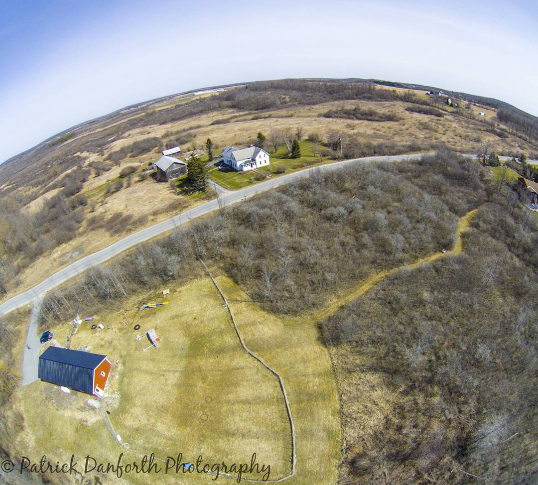
Aerial Shot Aerial View Dronephotography Drone Flight Aerial Photography Birds Eye View at Patrick Danforth Photography

Beautiful and amazing Trees Fall Beauty at patrick danforth photography

Forest taking a break #dog #woods #fall #treesandleaves
Just out flying around #drone #aerial

Brooding Sky - New York State

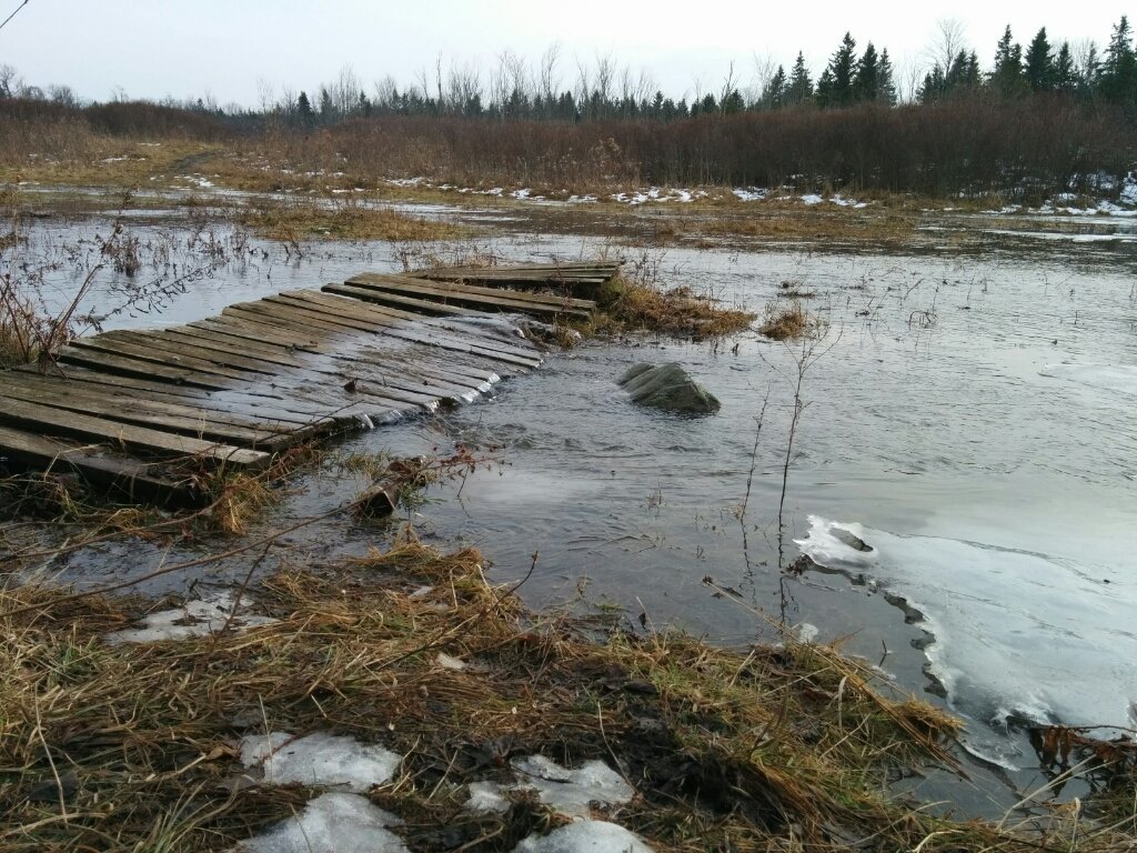
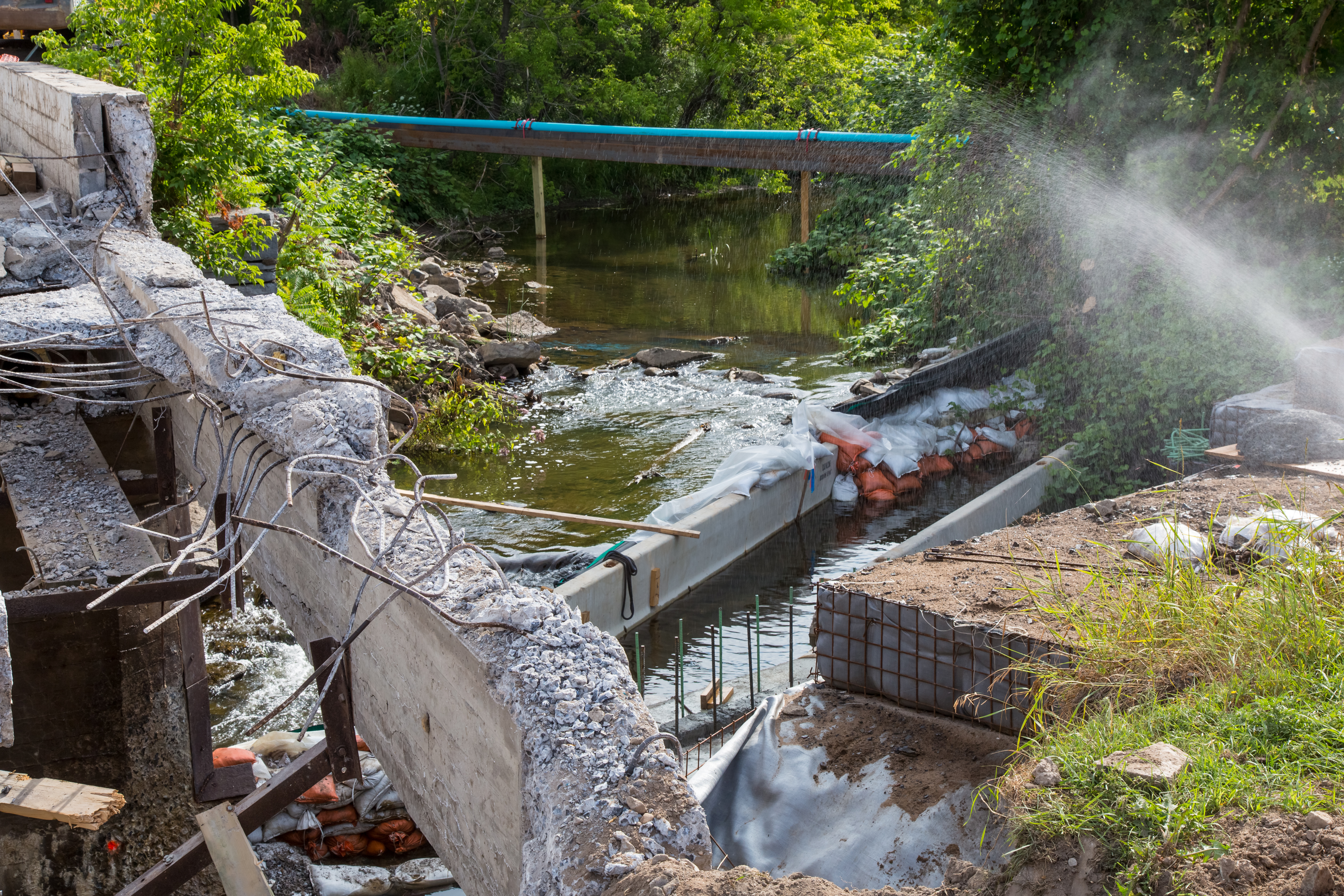
Bridge Pallet Crossing Outdoors Water Take A walk at Patrick Danforth Photography
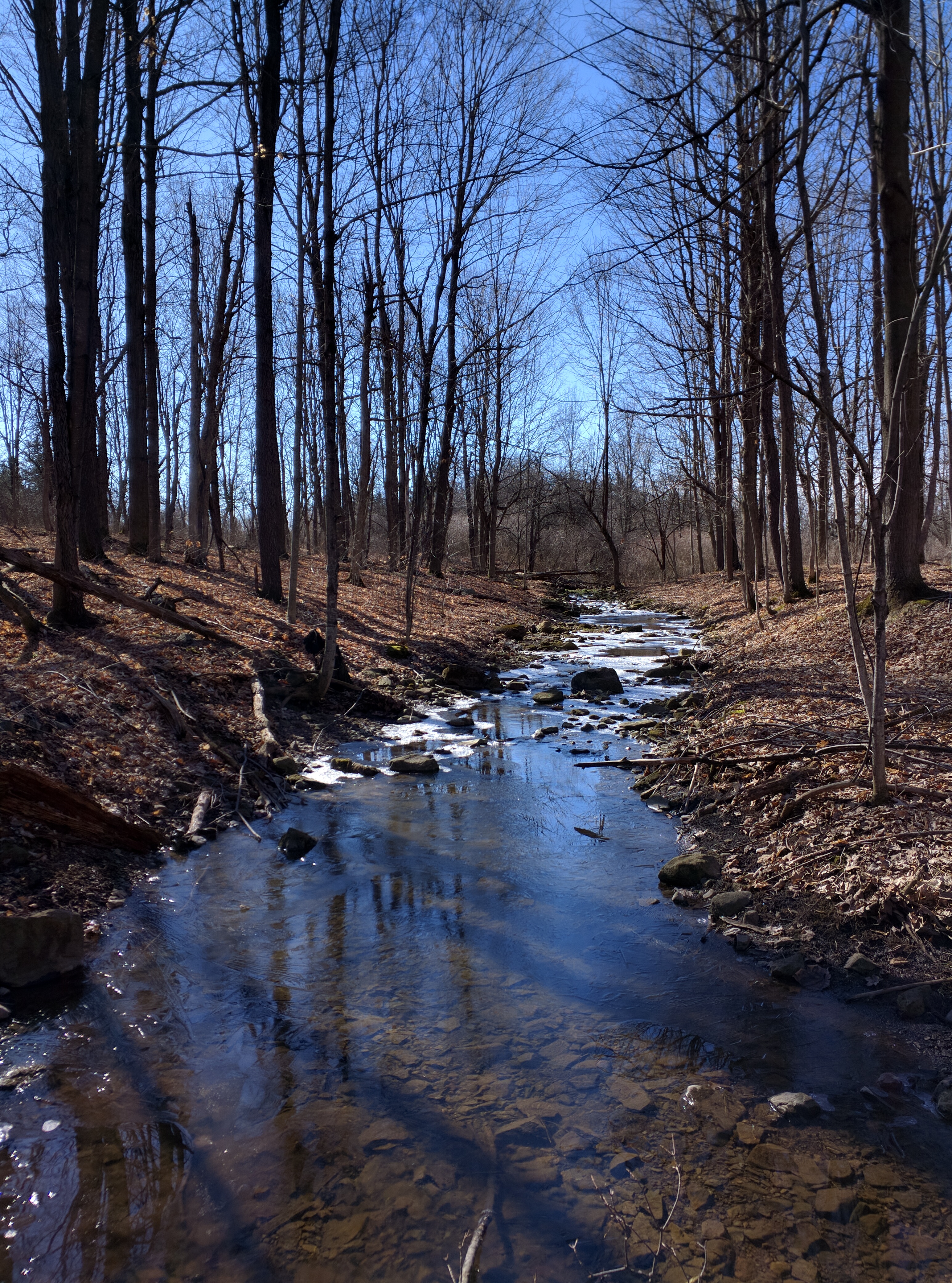
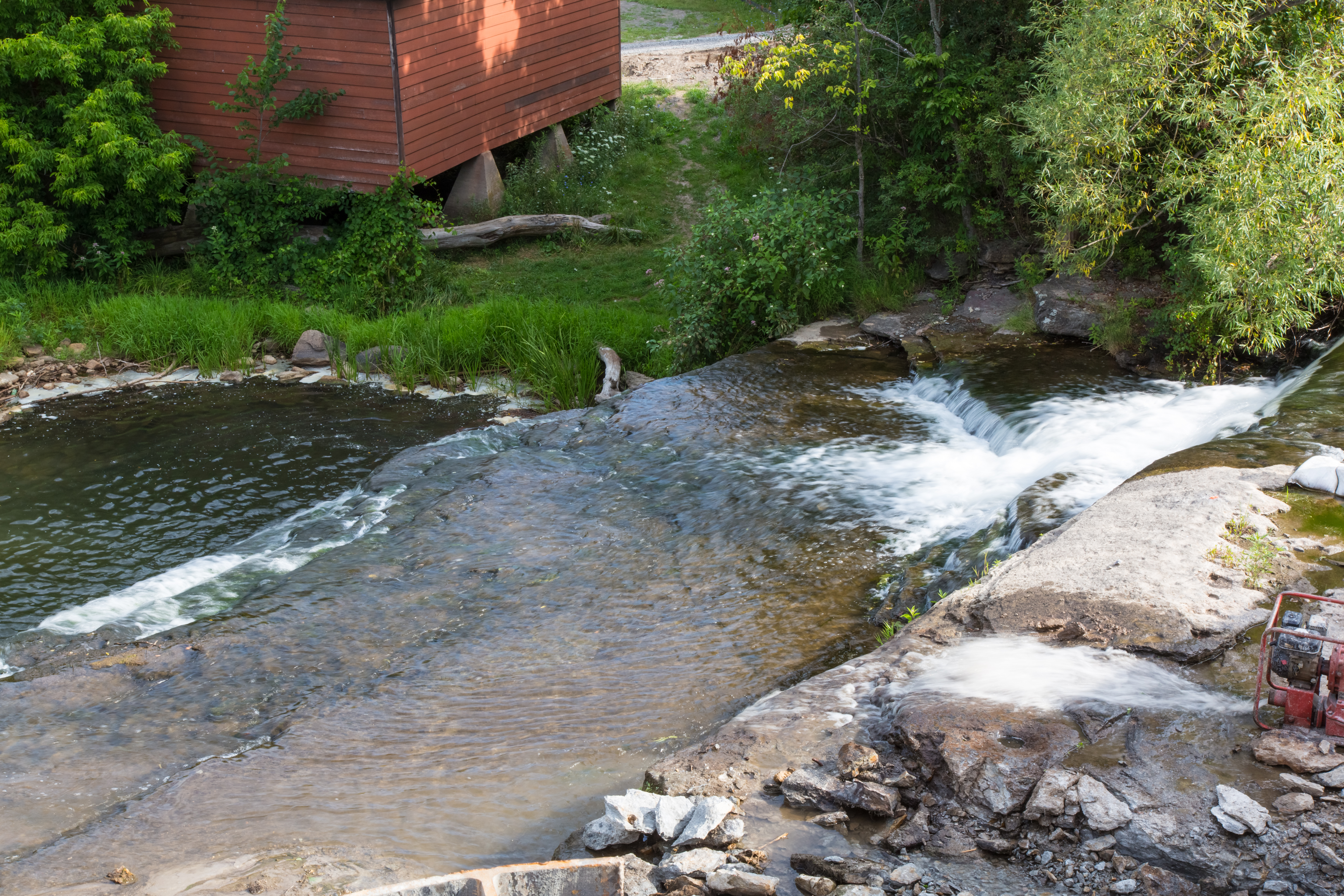
A fine day at the Stream Water Outdoors Woods Trees HDR at Patrick Danforth Photography

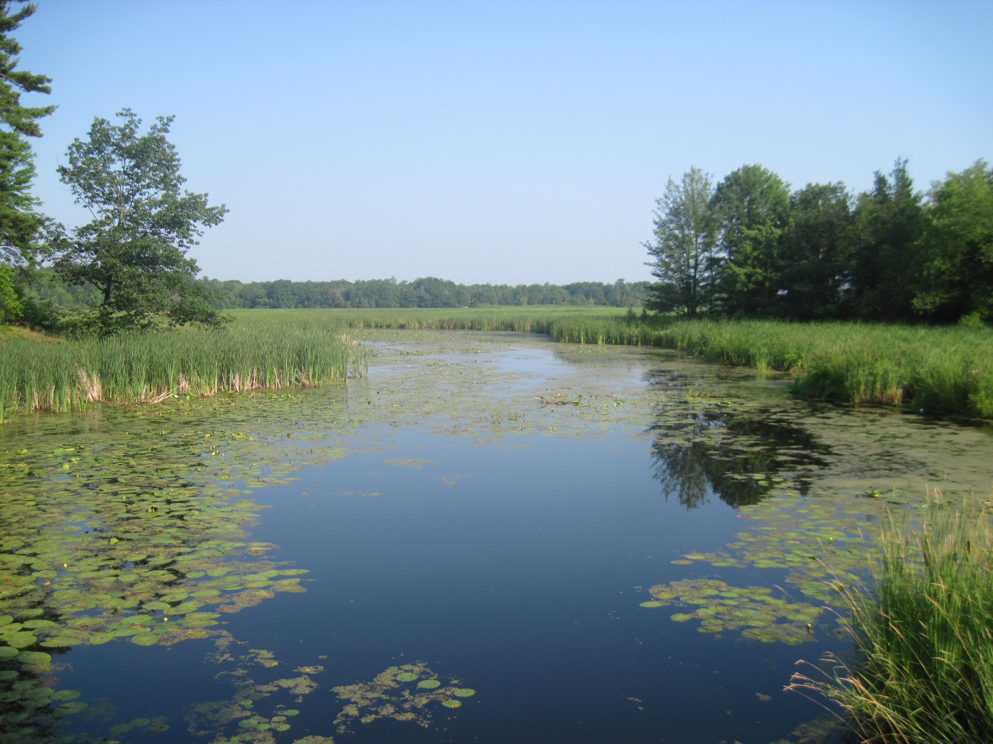
Let me tell you a tail Cat Tails at Evans Mills, NY
No stopping
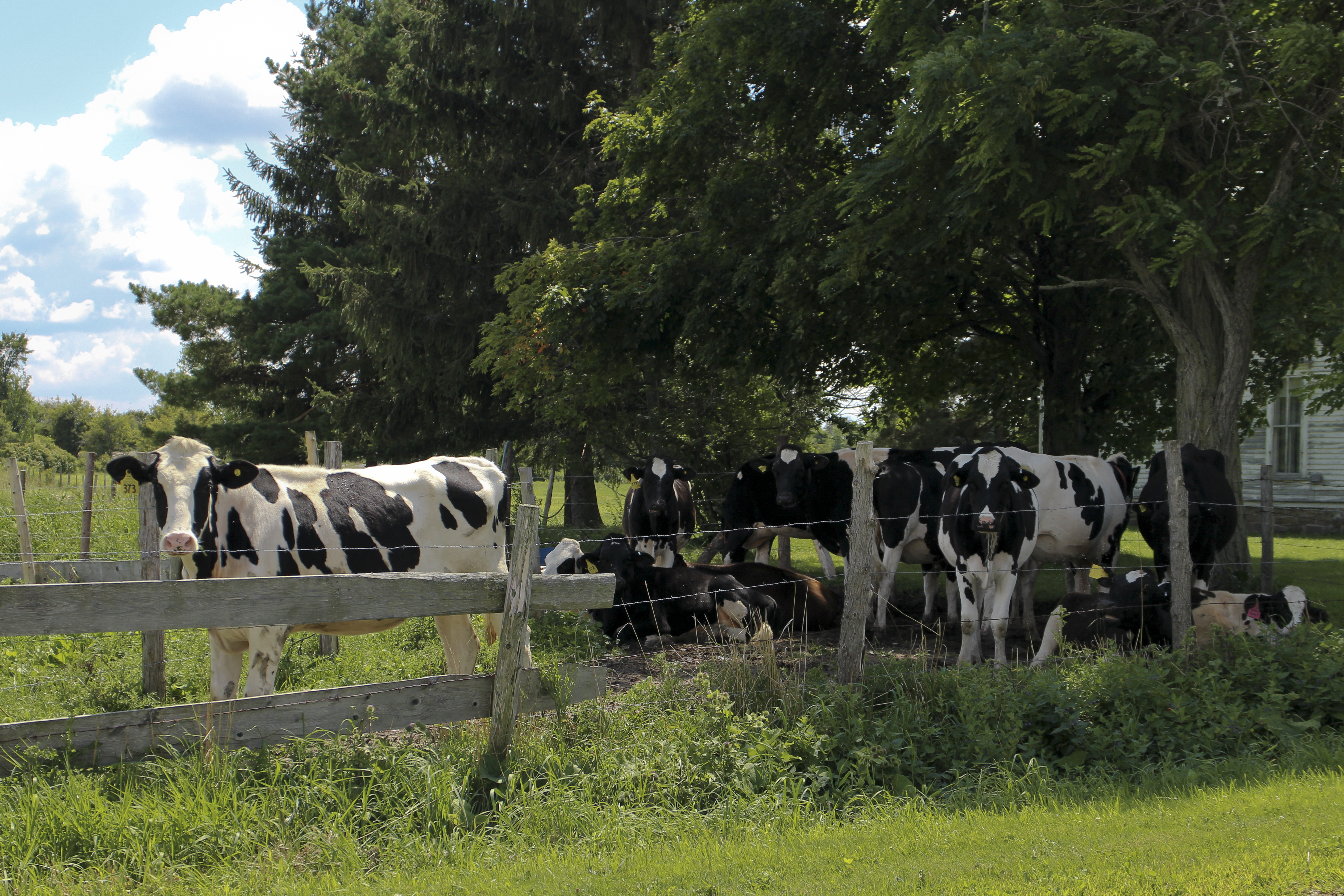
Cow Country
EvansMills-20120719-14.jpg

field of Hope Field Green
EvansMills-20120719-16.jpg
Route 12 Bike Ride (1)
Topographic Map of Theresa, NY, USA
Find elevation by address:

Places in Theresa, NY, USA:
Places near Theresa, NY, USA:
38146 Ny-37
County Rd 46, Theresa, NY, USA
Theresa
NY-, Theresa, NY, USA
29787 Sears Rd
County Rd 3, La Fargeville, NY, USA
Redwood
Philadelphia
33498 Shimel Rd
Spies Rd, Redwood, NY, USA
Evans Mills, NY, USA
Evans Mills
Barnes Settlement Road
Alexandria
Bay Drive-in Theatre
Magrath Sports Complex And Pool
Fort Drum
47401 Dingman Point Rd
Alexandria Bay
Kring Point State Park, Alexandria Bay, NY, USA
Recent Searches:
- Elevation of Corso Fratelli Cairoli, 35, Macerata MC, Italy
- Elevation of Tallevast Rd, Sarasota, FL, USA
- Elevation of 4th St E, Sonoma, CA, USA
- Elevation of Black Hollow Rd, Pennsdale, PA, USA
- Elevation of Oakland Ave, Williamsport, PA, USA
- Elevation of Pedrógão Grande, Portugal
- Elevation of Klee Dr, Martinsburg, WV, USA
- Elevation of Via Roma, Pieranica CR, Italy
- Elevation of Tavkvetili Mountain, Georgia
- Elevation of Hartfords Bluff Cir, Mt Pleasant, SC, USA