Elevation of The Tool House, Hwith, Ravenstonedale, Kirkby Stephen CA17 4LL, UK
Location: United Kingdom > Cumbria >
Longitude: -2.3971355
Latitude: 54.4107373
Elevation: 293m / 961feet
Barometric Pressure: 98KPa
Elevation Map:
Satellite Map:
Related Photos:
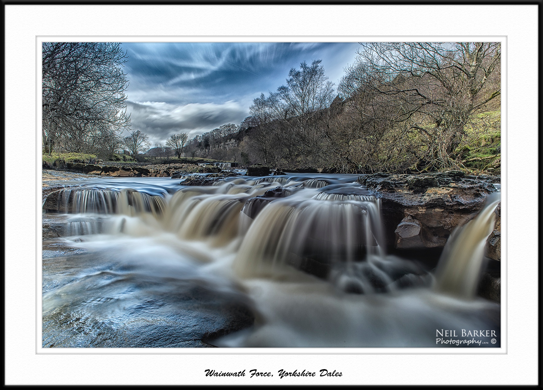
Wainwath Force in the Dales
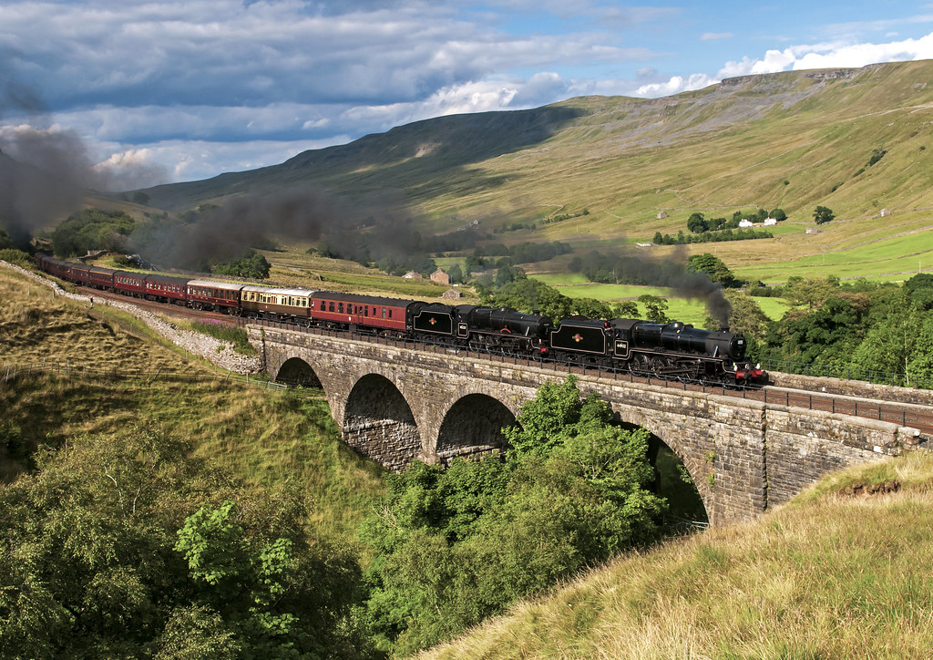
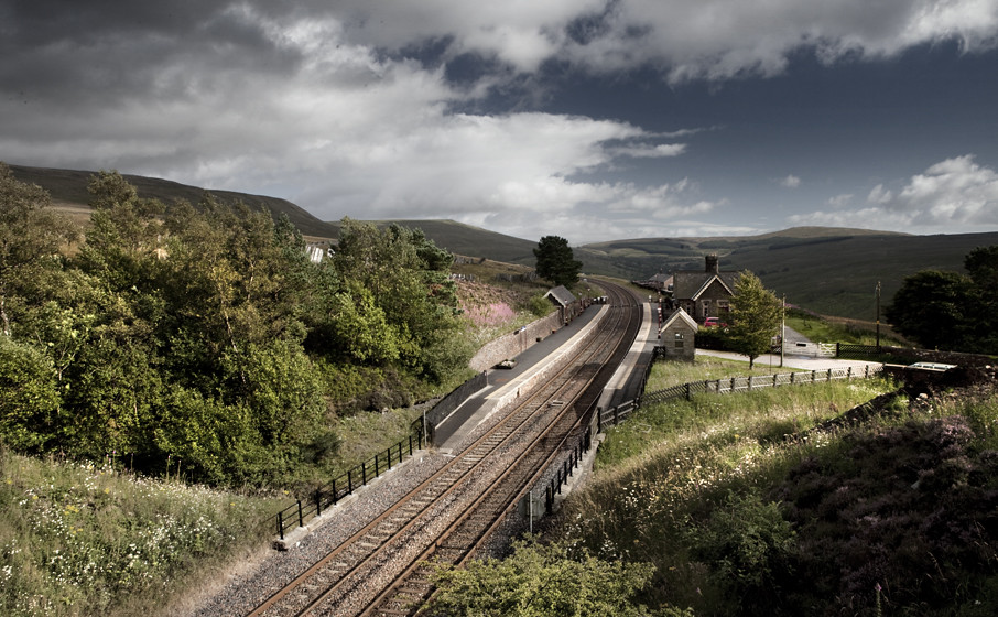
15 Guinea Fellsman at Ais Gill Viaduct

Over the summit, Ais Gill, Cumbria/Yorkshire border, England
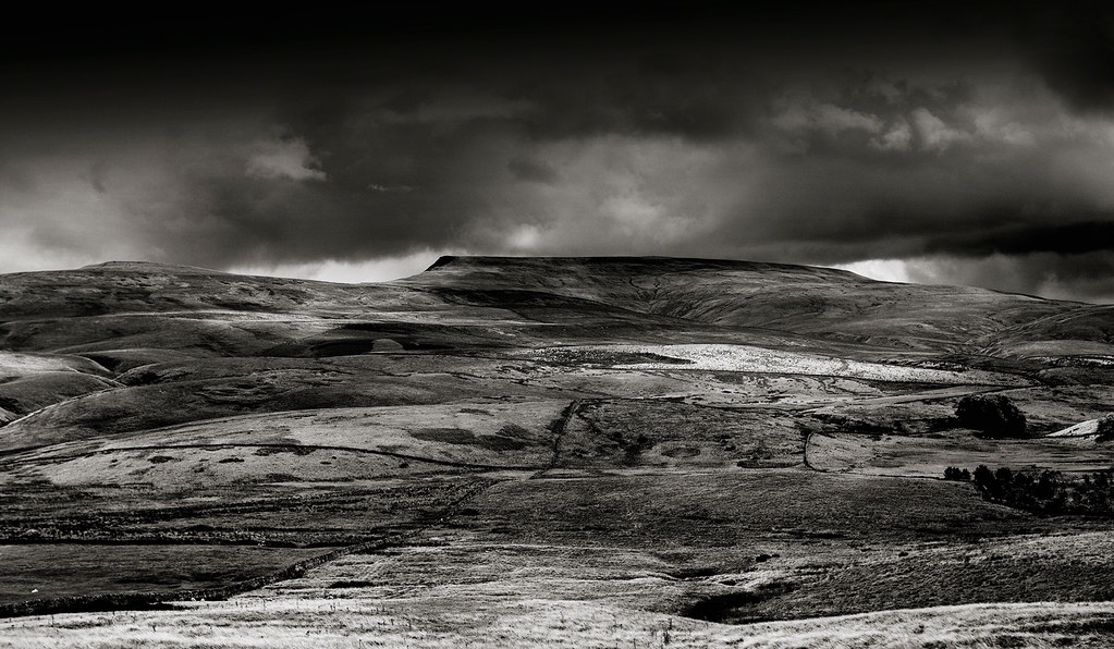
Wild Boar Fell tones & textures, Yorkshire Dales, England.
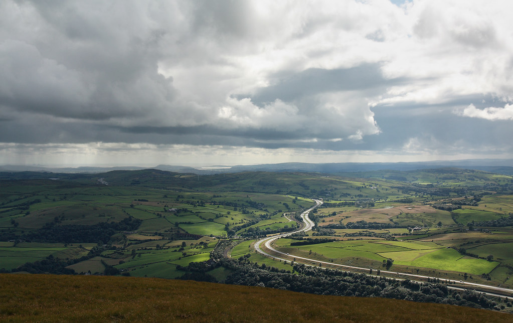
M6 motorway seen from the Howgill Fells near Sedbergh, Cumbria, UK

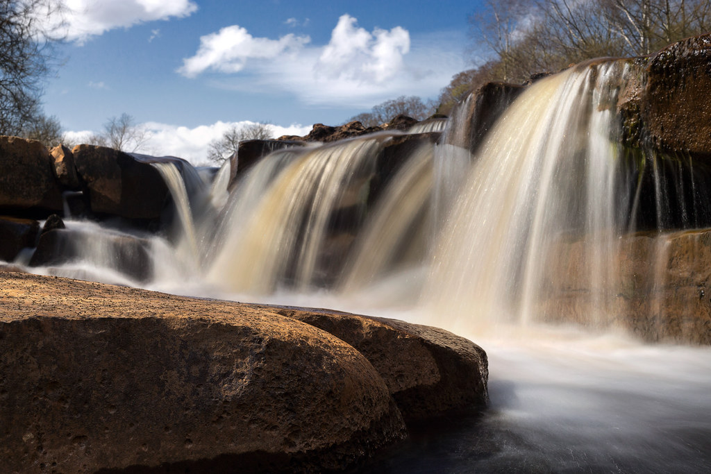
5286-90SE The Main Falls

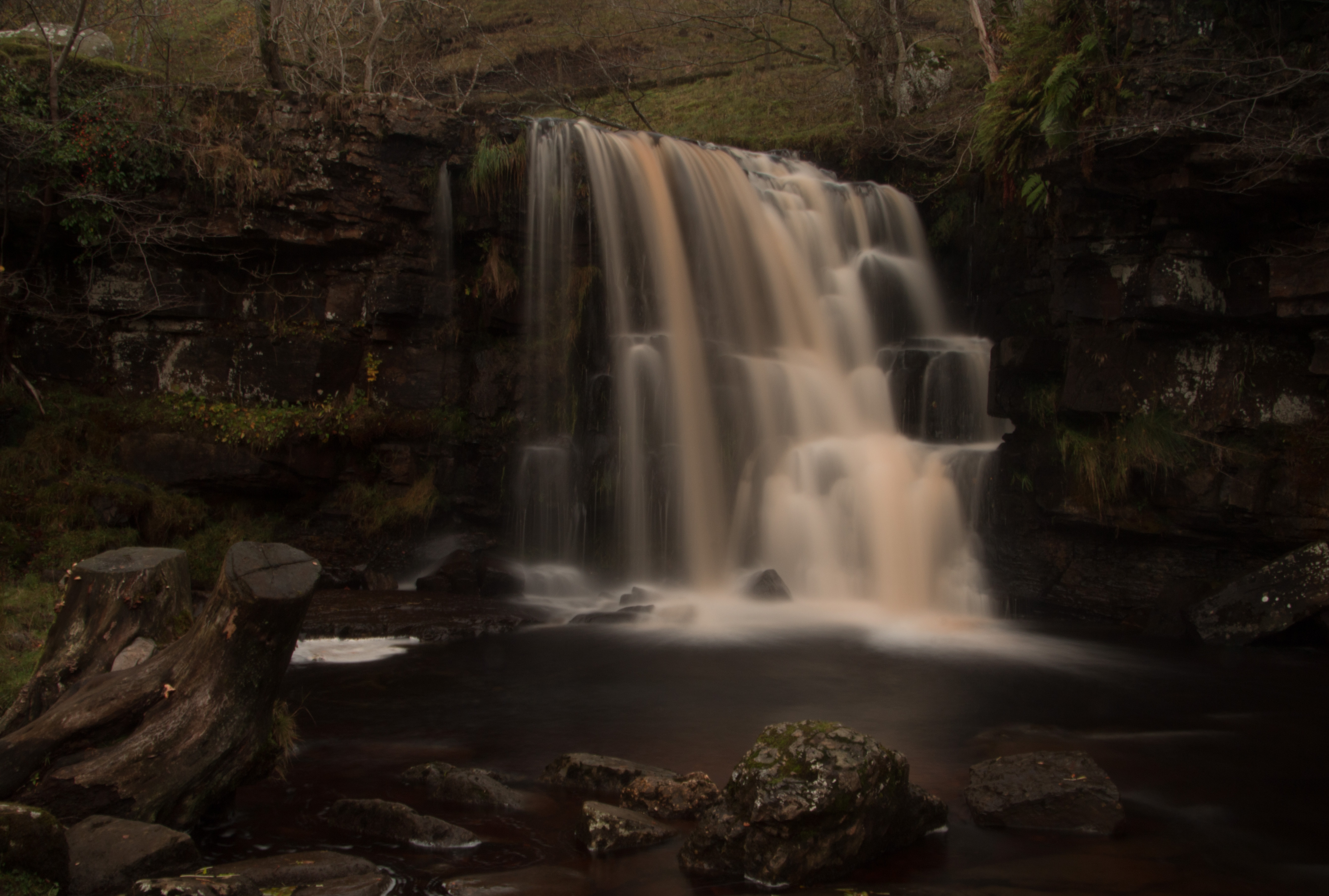
5212L Dark Waters
Uldale Force, River Rawthey, Yorkshire Dales National Park, Cumbria, UK

Looking north-east from Great Dummacks, Howgill Fells near Sedbergh, Yorkshire Dales National Park, Cumbria, UK
In miniature...
Rawthey Valley from Great Dummacks, Howgill Fells near Sedbergh, Yorkshire Dales National Park, Cumbria, UK
Lake District
Rawthey Valley from Great Dummacks, Howgill Fells near Sedbergh, Yorkshire Dales National Park, Cumbria, UK
Cautley Holme Beck and the Rawthey Valley, Howgill Fells near Sedbergh, Yorkshire Dales National Park, Cumbria, UK
Dinner view.
47440 Dent
Carlin Gill, Howgill Fells near Tebay, Yorkshire Dales National Park, Cumbria, UK

Cautley Holme Beck and the Rawthey Valley, Howgill Fells near Sedbergh, Yorkshire Dales National Park, Cumbria, UK

Wild Boar fell, Cumbria, England.

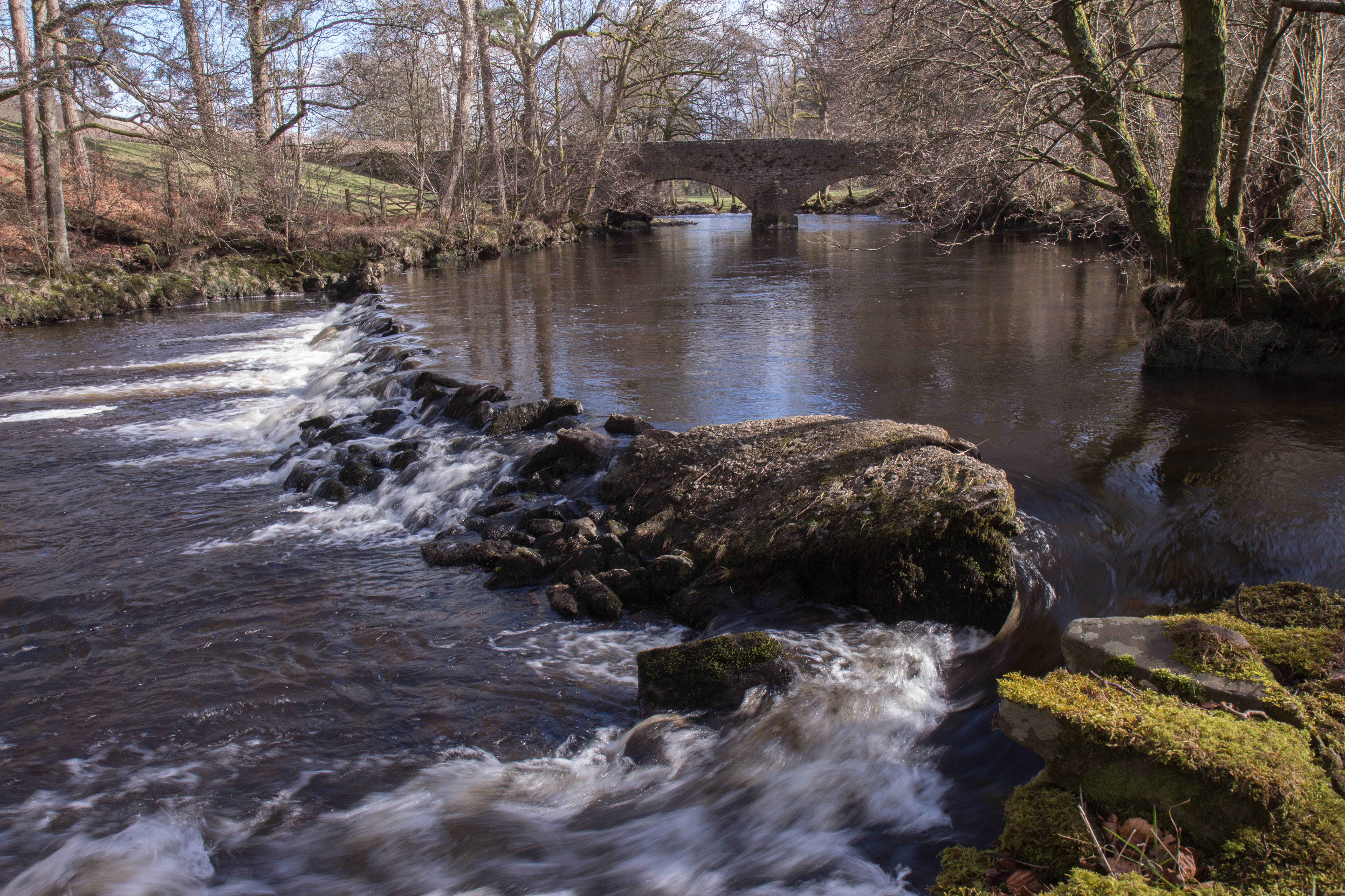
It's just water under the bridge. HDR
Mount Zion Chapel, Dandry Mire
66848. Angerholme.
5043. A Southerner up north! ……..

10160N January at East Gill
Wain Wath Force, Keld, Yorkshire Dales

Wain Wath Force (lower)
stand tall

5261b The Upper Falls

Garsdale Waterfall...IMG_0220.jpg

5283 Watching The River Flow

East Gill Waterfall Keld Yorkshire Dales

Catrake Force Waterfall - Keld, North Yorkshire
Rash bridge

8044 Morning in Swaledale
East Gill Force
Dent Station, Cumbria, England

The Winter Cumbrian Mountain Express - 25th Jan 2014

5212a Golden Flow
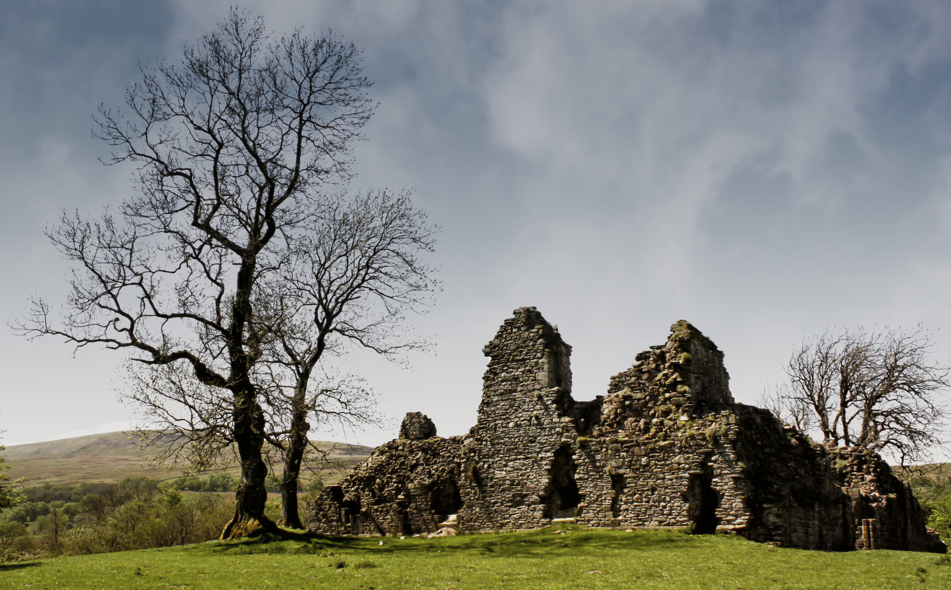
Pendragon castle
Topographic Map of The Tool House, Hwith, Ravenstonedale, Kirkby Stephen CA17 4LL, UK
Find elevation by address:

Places near The Tool House, Hwith, Ravenstonedale, Kirkby Stephen CA17 4LL, UK:
Ravenstonedale
Ravenstonedale
Aisgill
Newbiggin-on-lune
Ca17 4sn
Kirkby Stephen
Lunds
Cautley Spout
La10 5ly
Garsdale
Cautley
Garsdale (gsd)
Warcop
La10 5rj
Cowgill
Brough
Dent
Dent
Gawthrop
La10 5qh
Recent Searches:
- Elevation of Congressional Dr, Stevensville, MD, USA
- Elevation of Bellview Rd, McLean, VA, USA
- Elevation of Stage Island Rd, Chatham, MA, USA
- Elevation of Shibuya Scramble Crossing, 21 Udagawacho, Shibuya City, Tokyo -, Japan
- Elevation of Jadagoniai, Kaunas District Municipality, Lithuania
- Elevation of Pagonija rock, Kranto 7-oji g. 8"N, Kaunas, Lithuania
- Elevation of Co Rd 87, Jamestown, CO, USA
- Elevation of Tenjo, Cundinamarca, Colombia
- Elevation of Côte-des-Neiges, Montreal, QC H4A 3J6, Canada
- Elevation of Bobcat Dr, Helena, MT, USA