Elevation of The Shore Rd, Castine, ME, USA
Location: United States > Maine > Hancock County > Castine >
Longitude: -68.786960
Latitude: 44.4437373
Elevation: 34m / 112feet
Barometric Pressure: 101KPa
Elevation Map:
Satellite Map:
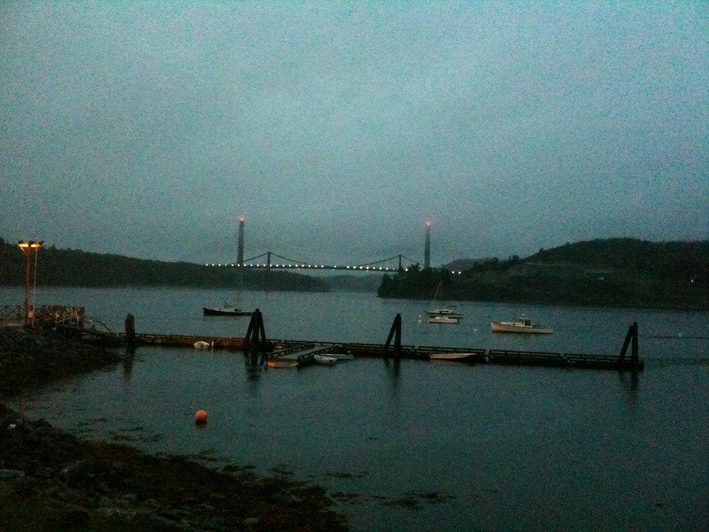
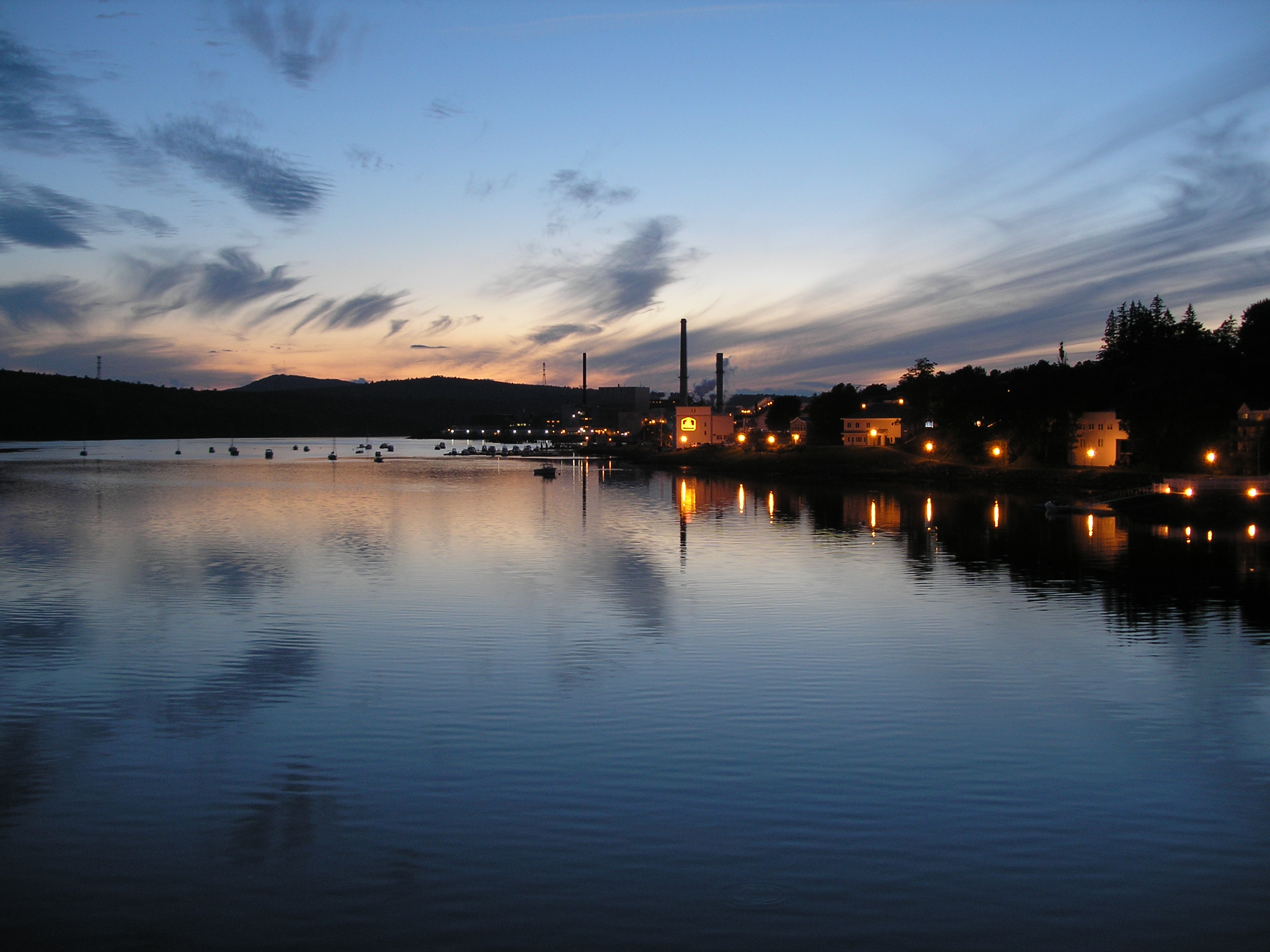
Related Photos:

Penobscot Observatory

R_20090831181356_162-Edit
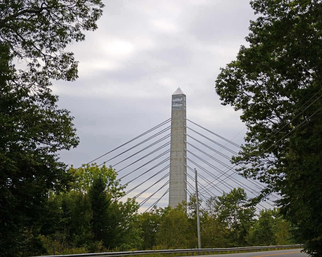
Penobscot Narrows Observatory
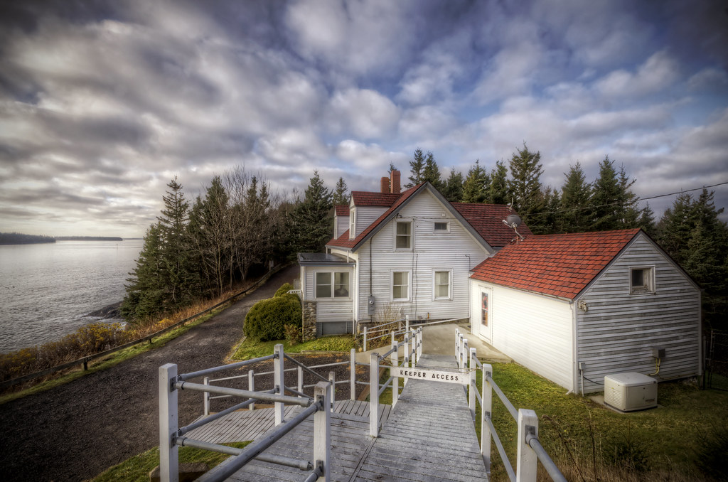
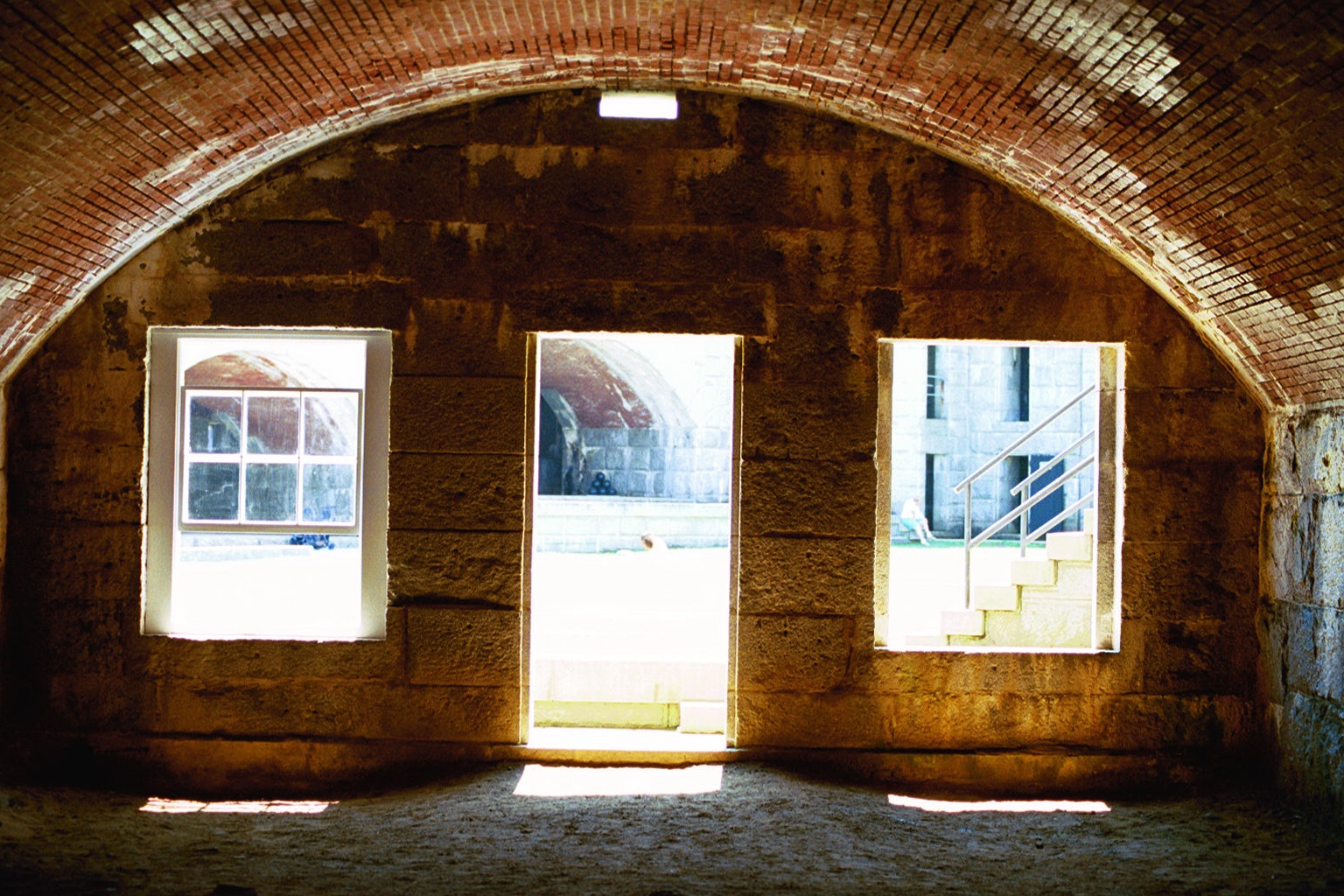
Keeper's Access
Rust Can Be Beautiful
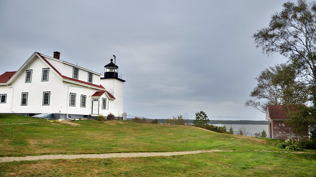
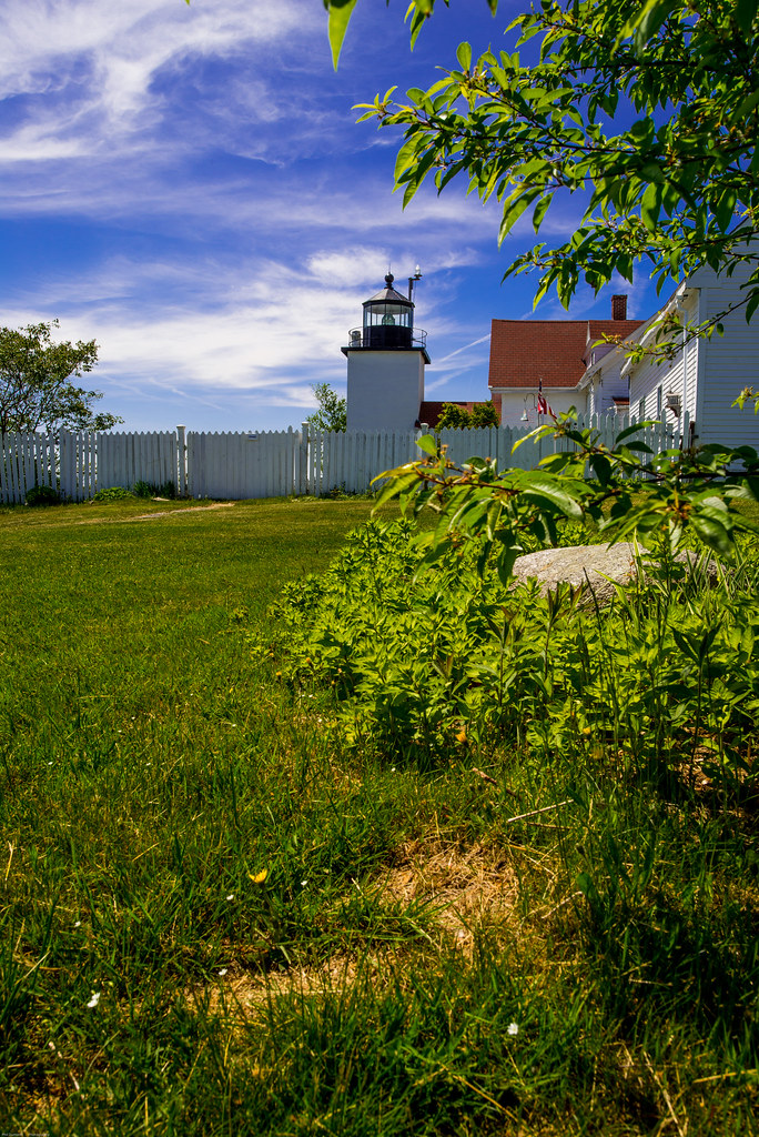
Fort Point Lighthouse, Maine
Room with a View

Magnifier View
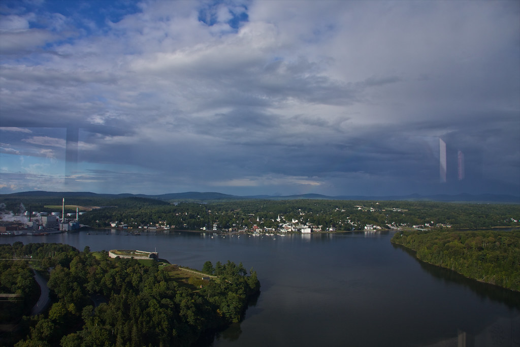
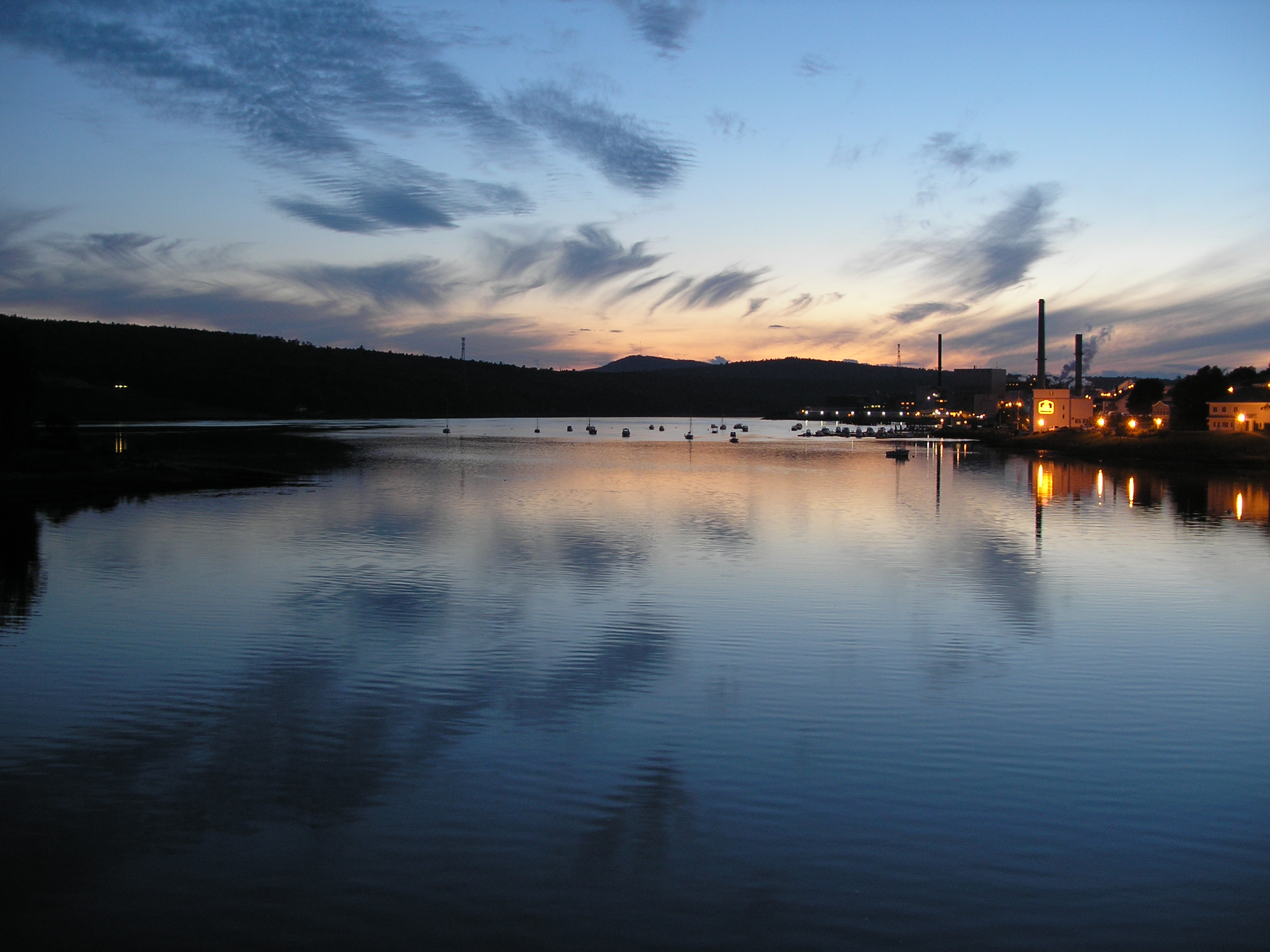
View of Bucksport
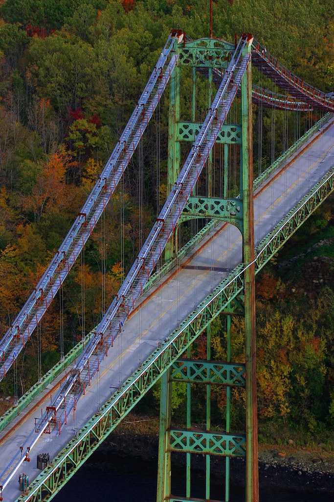
View from the Bucksport Bridge
Observatory - 1
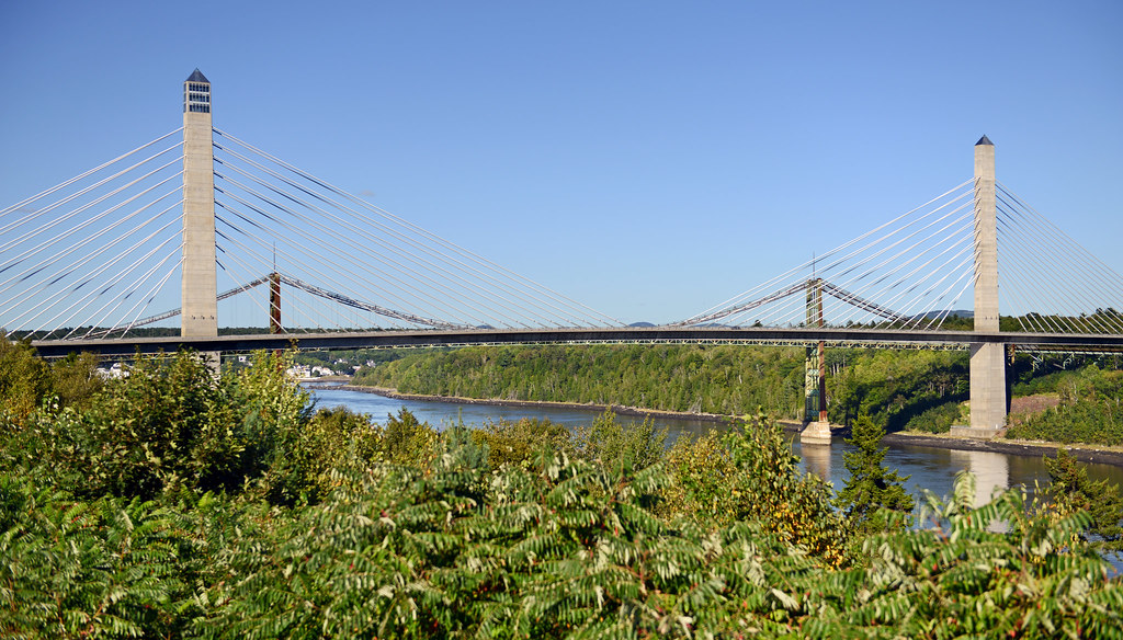
Penobscot Narrows Bridge and Observatory, Maine
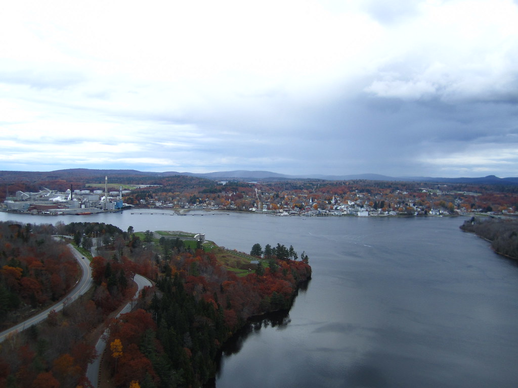
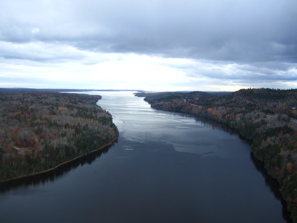
View from the Bucksport Bridge

The viewing tower
Ft.Knox Maine-7
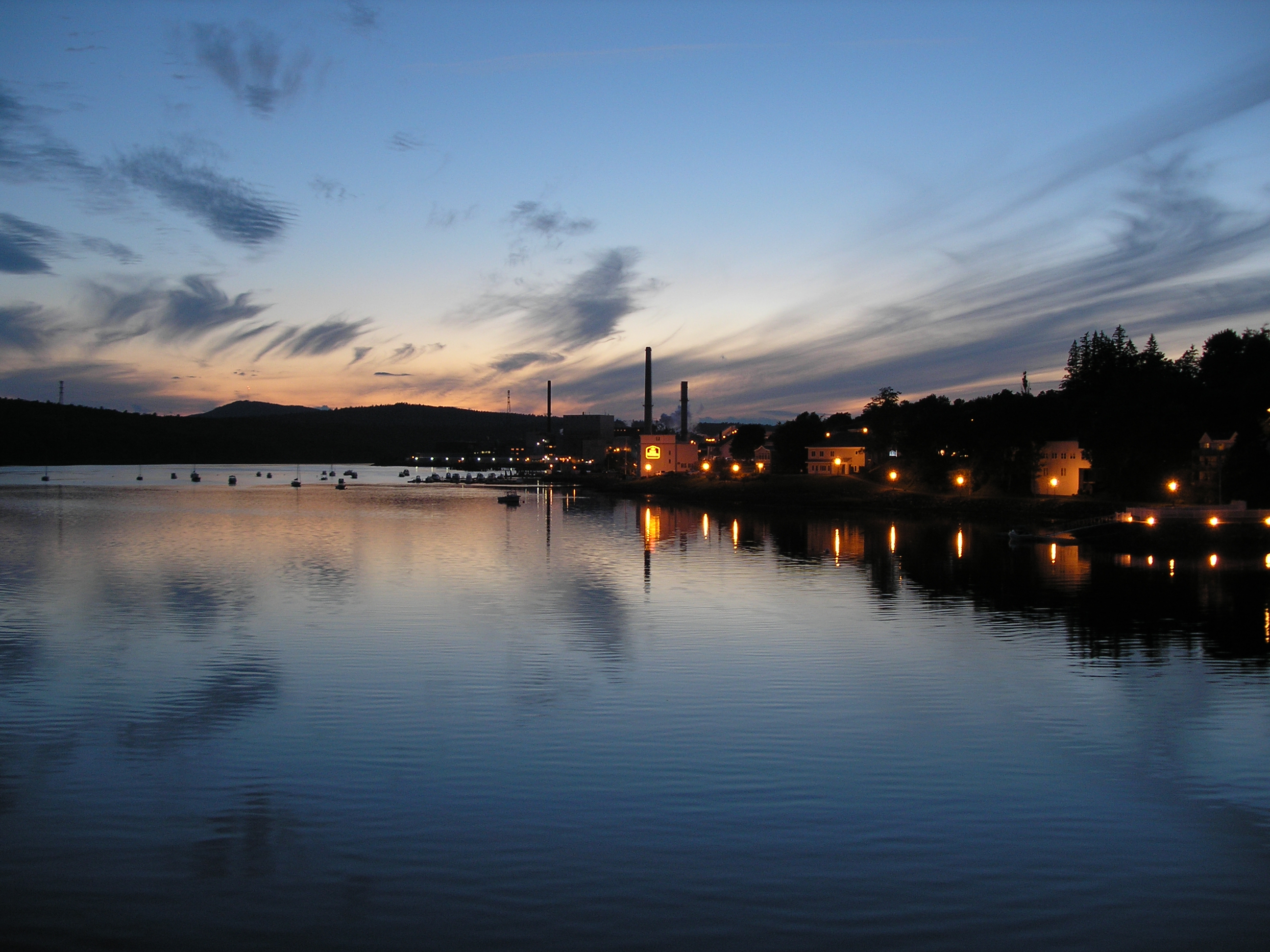
View from the Bucksport Bridge
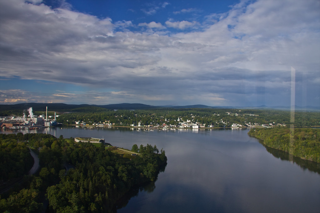
View of Bucksport
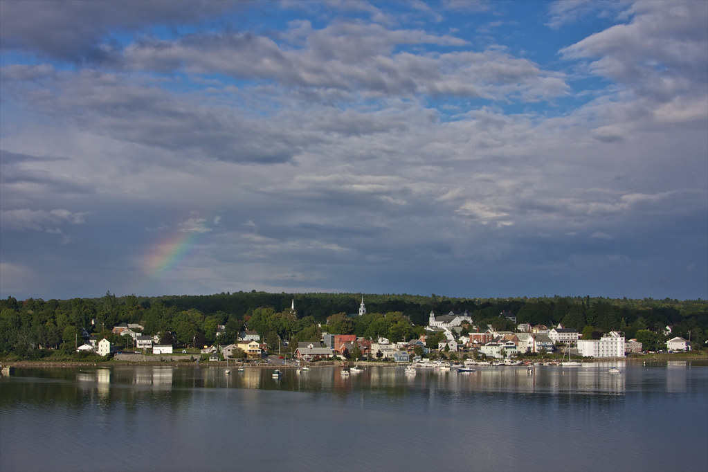
View of Bucksport
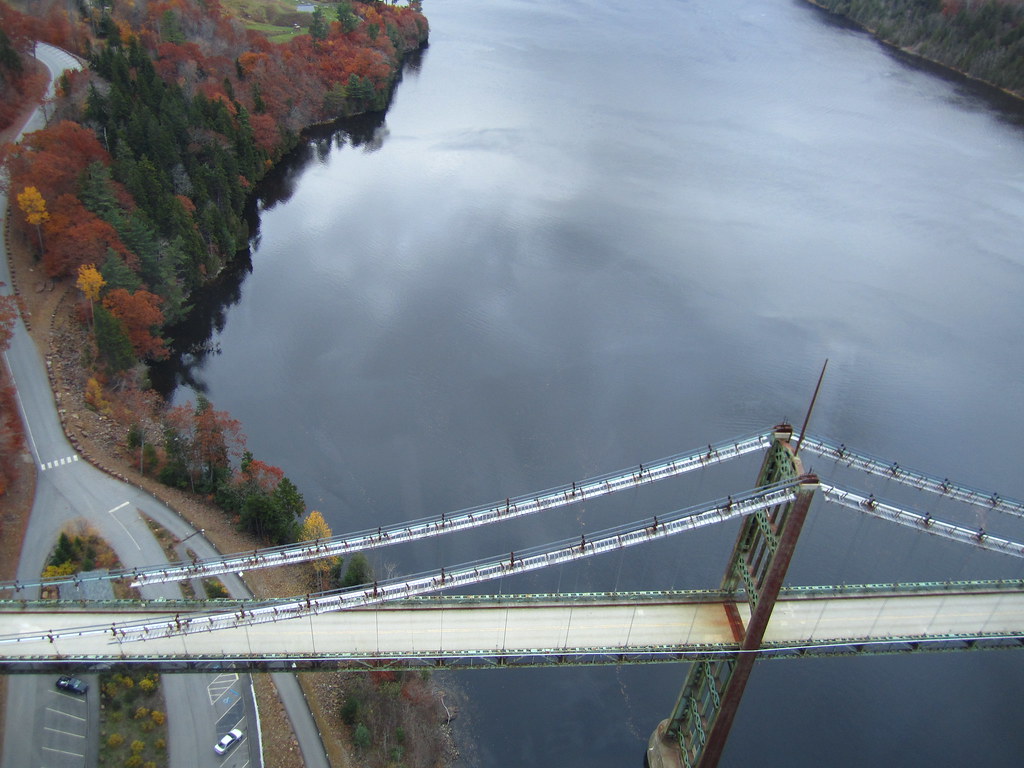
View from the Bucksport Bridge
View from the Bucksport Bridge
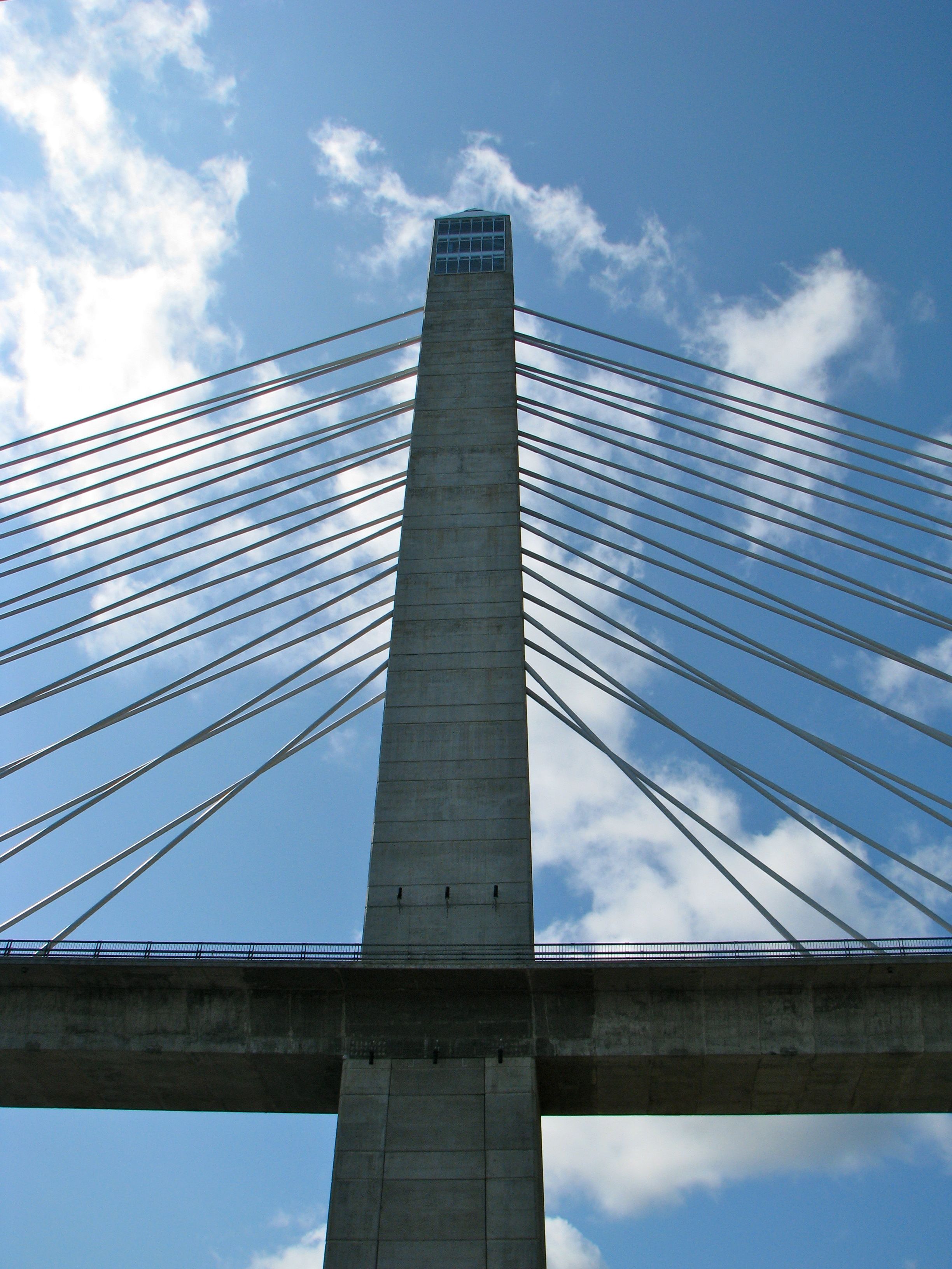
Penobscot Narrows Bridge
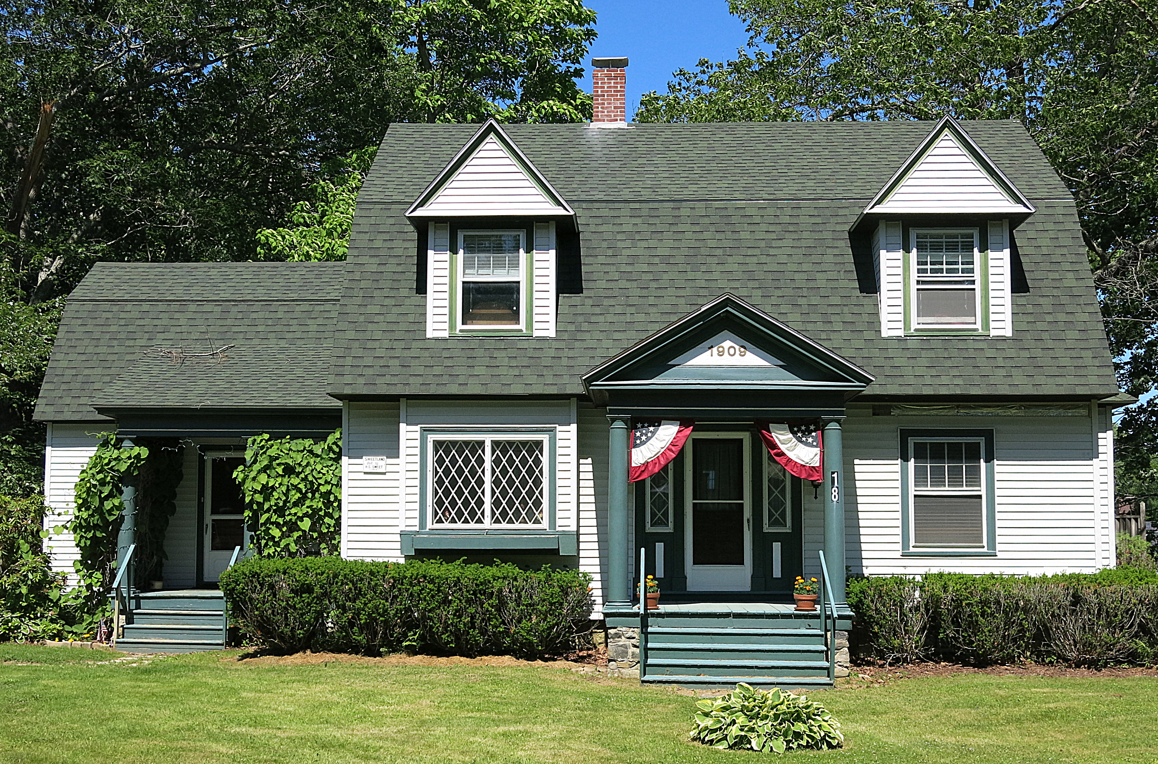
1909: A house in Blue Hill, Maine, USA

Camden Hills From Catapiller Hill
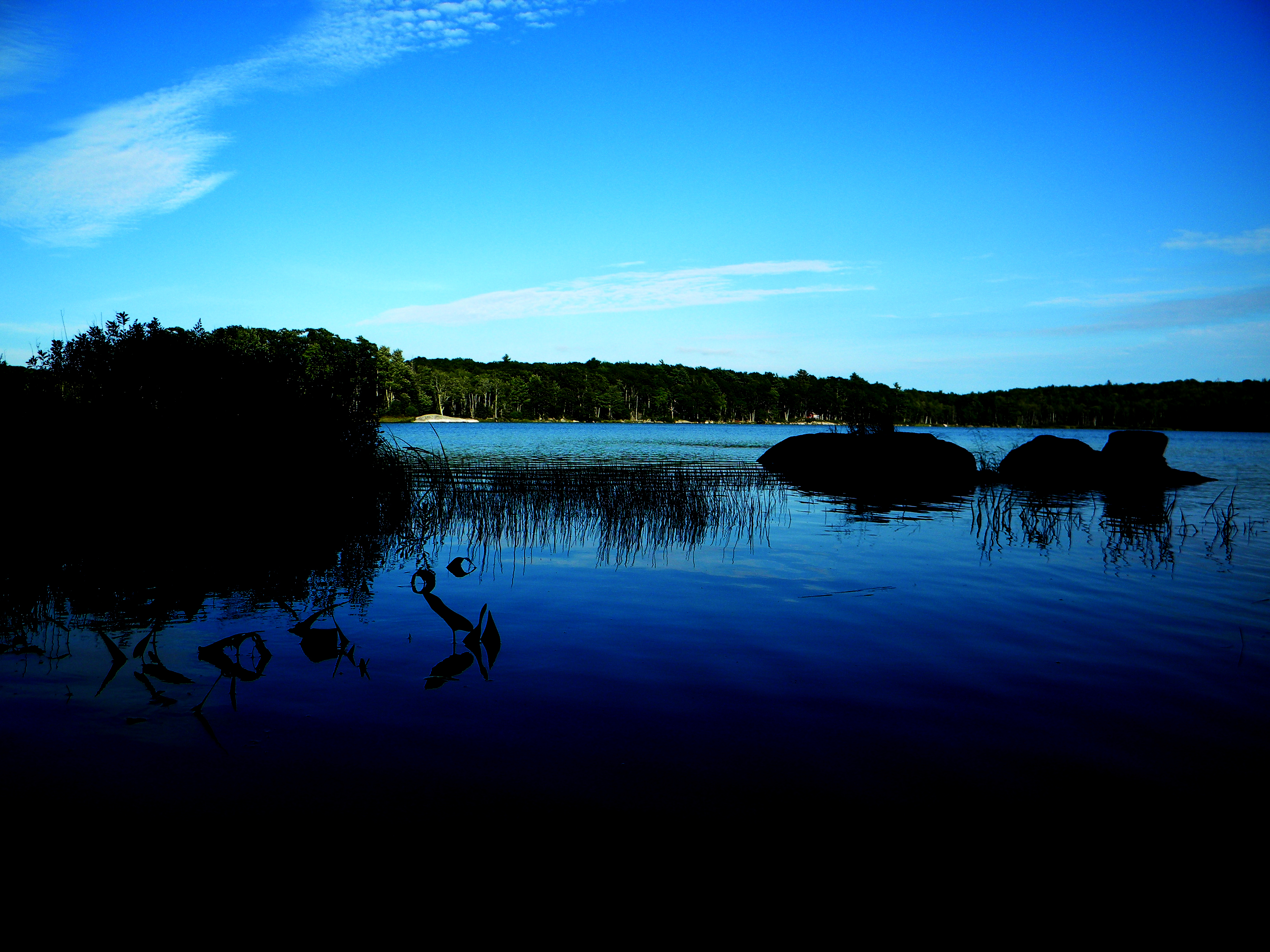
Parkers Pond, Maine
Rural Maine
2006Jul Acadia part1 (28)
2006Jul Acadia part1 (26)
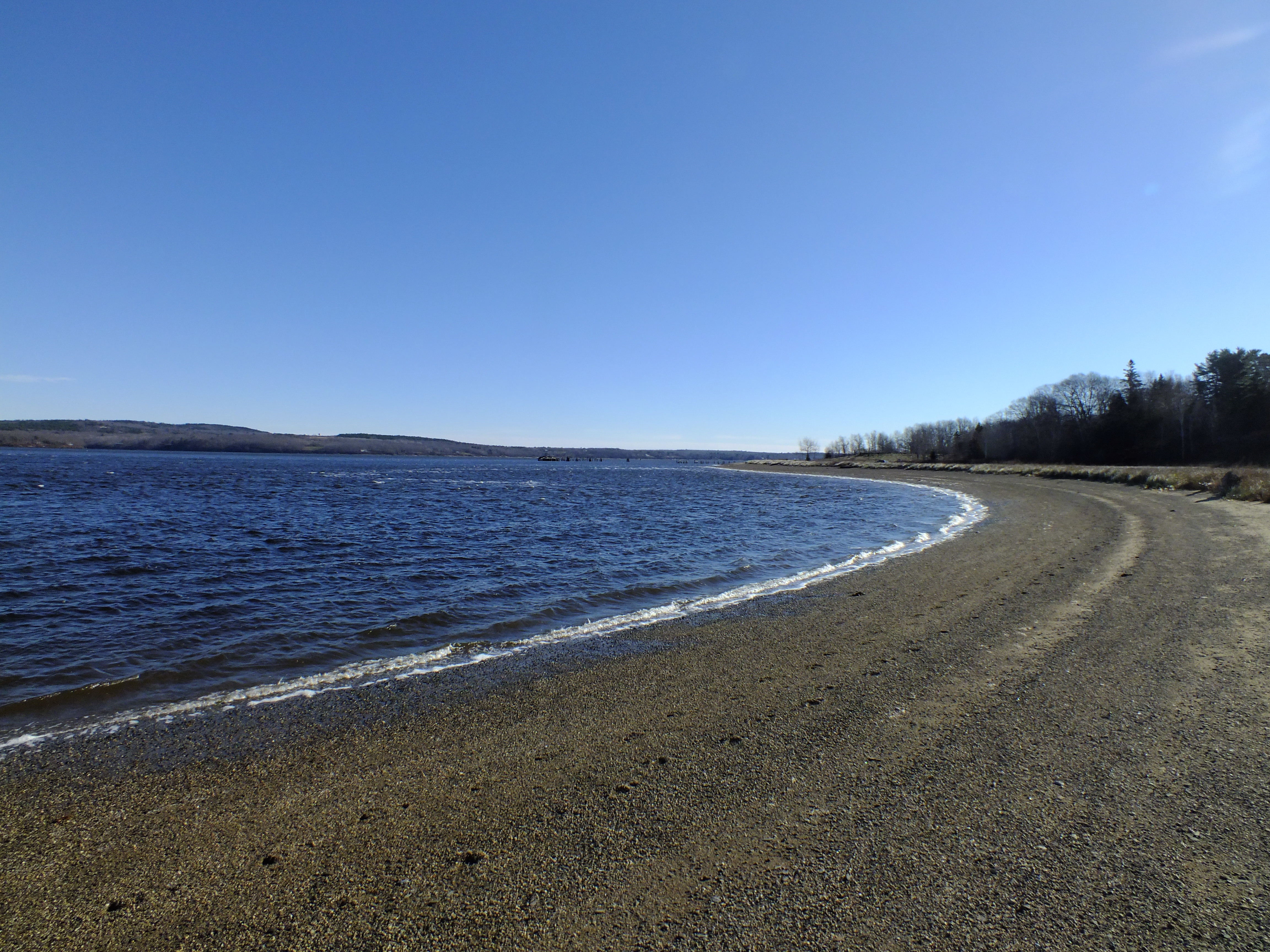
Sandy Point Beach
Fort Point Light House.
Rainy sunrise
2006Jul Acadia part1 (27)

Roadside Rock

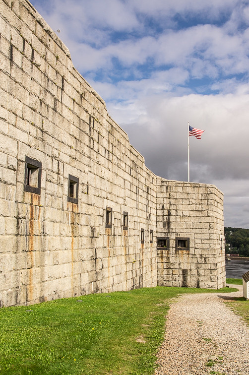
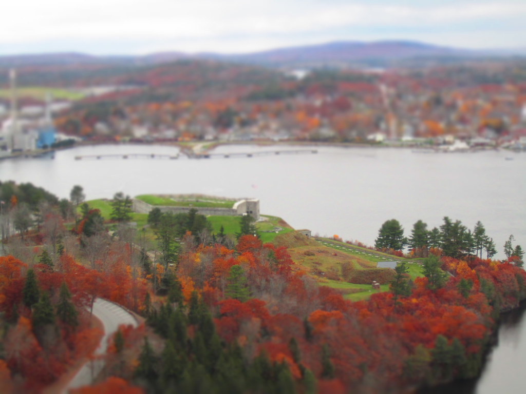
Hardened embankment below Fort Knox near Battery A
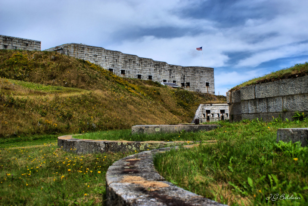
Fort Knox
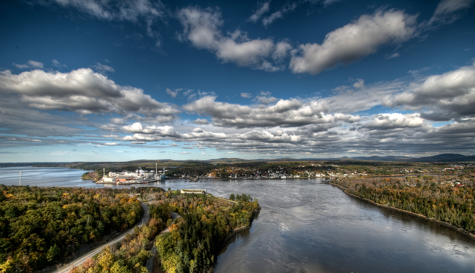
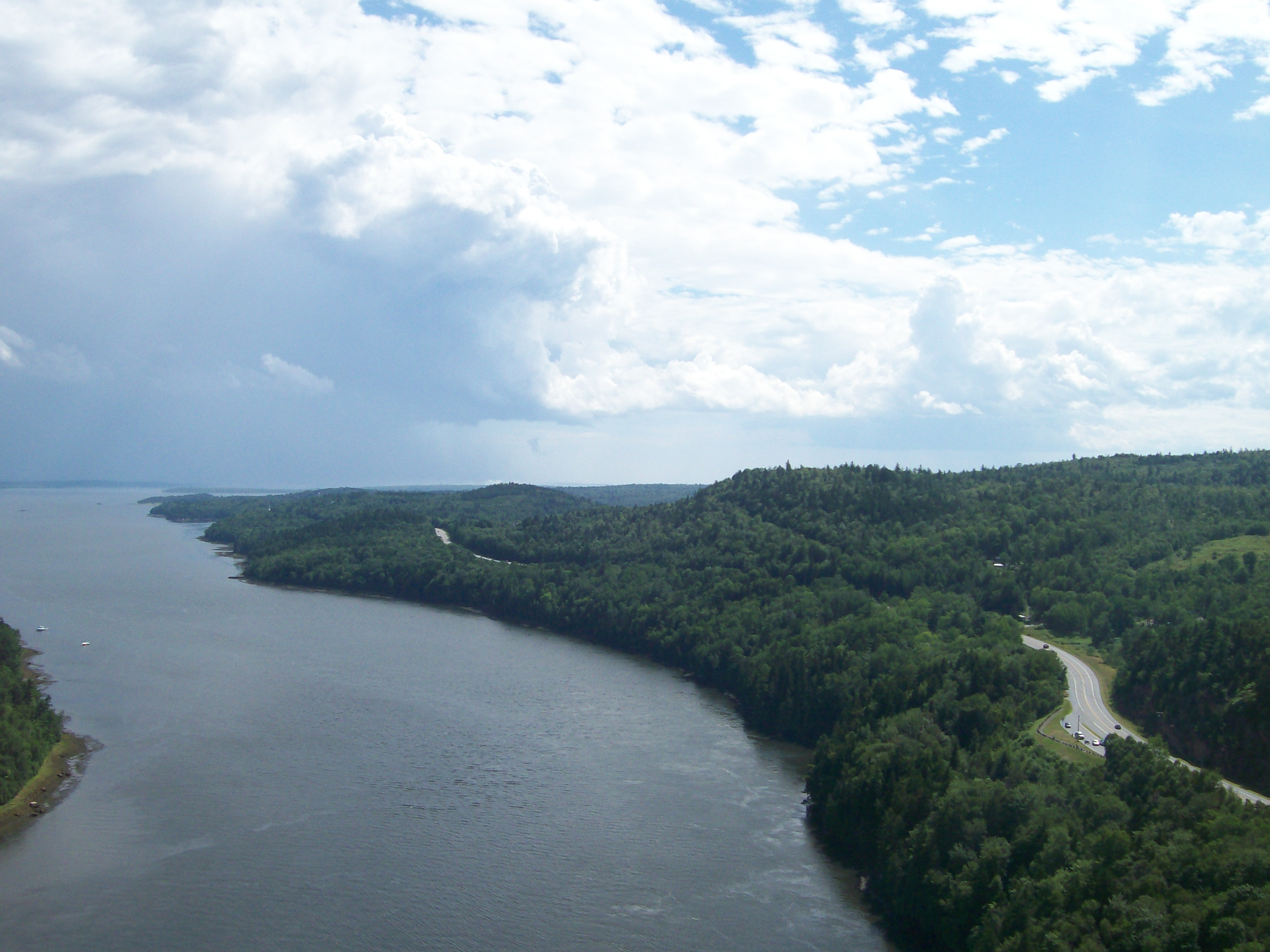
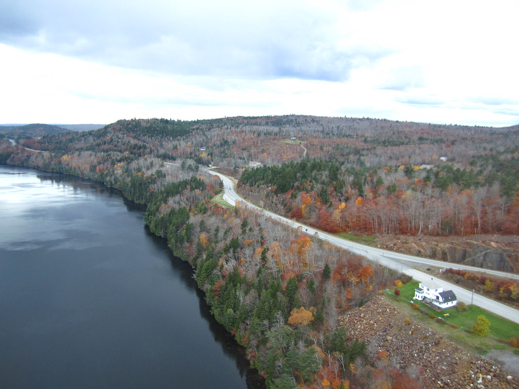
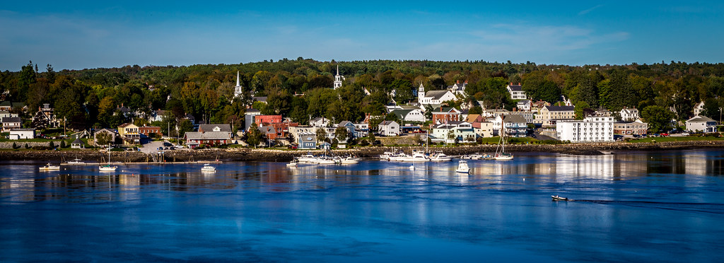
Bucksport from Penobscott Narrows Bridge Tower
Topographic Map of The Shore Rd, Castine, ME, USA
Find elevation by address:

Places near The Shore Rd, Castine, ME, USA:
543 The Shore Rd
543 The Shore Rd
543 The Shore Rd
543 The Shore Rd
Cottage Lane
43 Ribame Shores Rd W
43 Ribame Shores Rd W
89 Moontide
339 Castine Rd
80 Moontide
7 Mill Ln
68 Reynolds Rd
86 Wharf Rd
86 Wharf Rd
86 Wharf Rd
86 Wharf Rd
Castine
5 Perkins St
5 Perkins St
Wardwell Point Rd, Penobscot, ME, USA
Recent Searches:
- Elevation of Slanický ostrov, 01 Námestovo, Slovakia
- Elevation of Spaceport America, Co Rd A, Truth or Consequences, NM, USA
- Elevation of Warwick, RI, USA
- Elevation of Fern Rd, Whitmore, CA, USA
- Elevation of 62 Abbey St, Marshfield, MA, USA
- Elevation of Fernwood, Bradenton, FL, USA
- Elevation of Felindre, Swansea SA5 7LU, UK
- Elevation of Leyte Industrial Development Estate, Isabel, Leyte, Philippines
- Elevation of W Granada St, Tampa, FL, USA
- Elevation of Pykes Down, Ivybridge PL21 0BY, UK