Elevation of The Greenbrier Golf Club, West Main Street, White Sulphur Springs, WV, USA
Location: United States > West Virginia > Greenbrier County > Eastern > White Sulphur Springs >
Longitude: -80.314048
Latitude: 37.7867377
Elevation: 565m / 1854feet
Barometric Pressure: 95KPa
Elevation Map:
Satellite Map:
Related Photos:
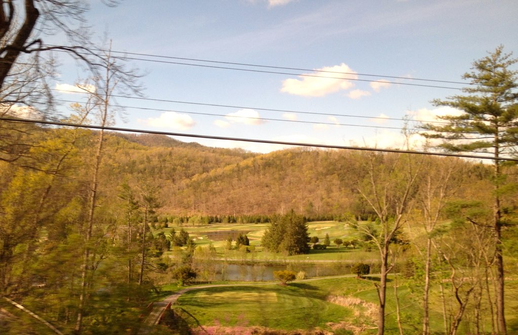
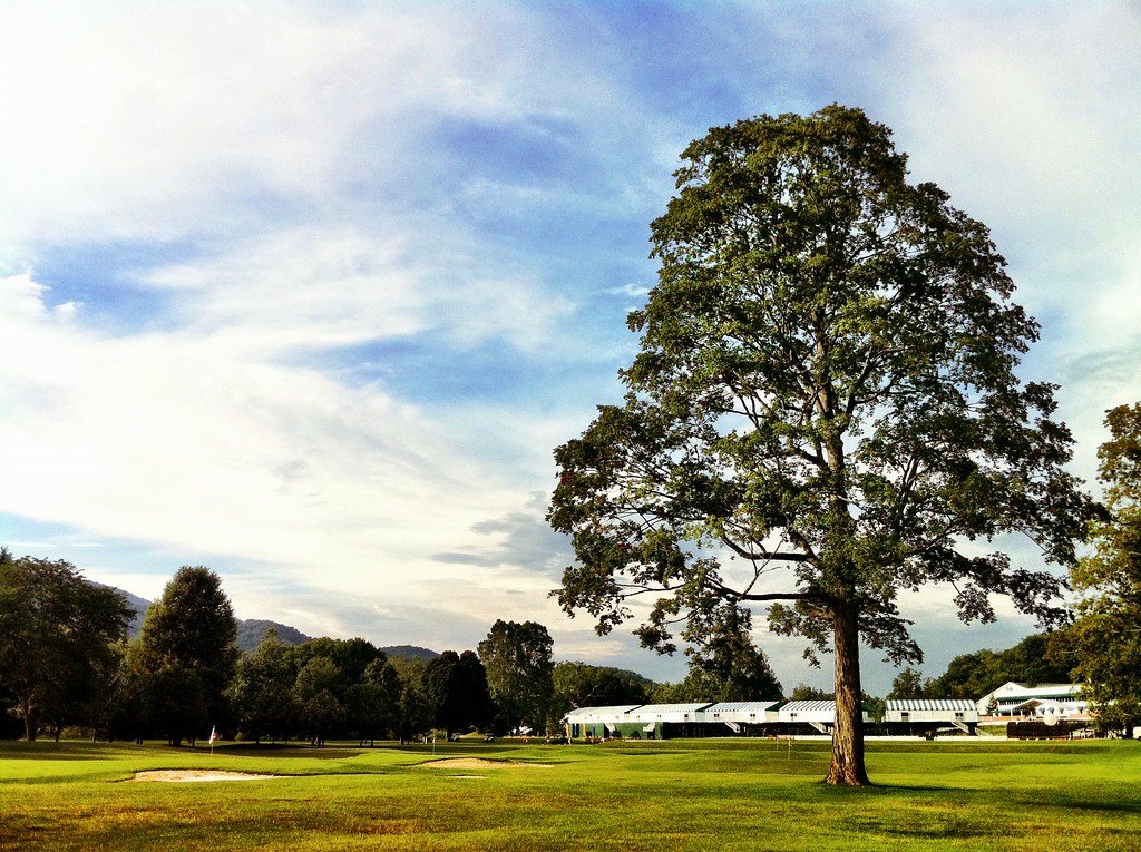
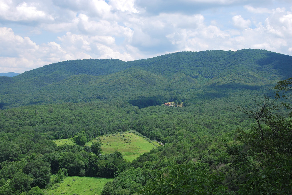
Greenbrier view

Panoramic View from Kate's Mountain Lodge at The Greenbrier

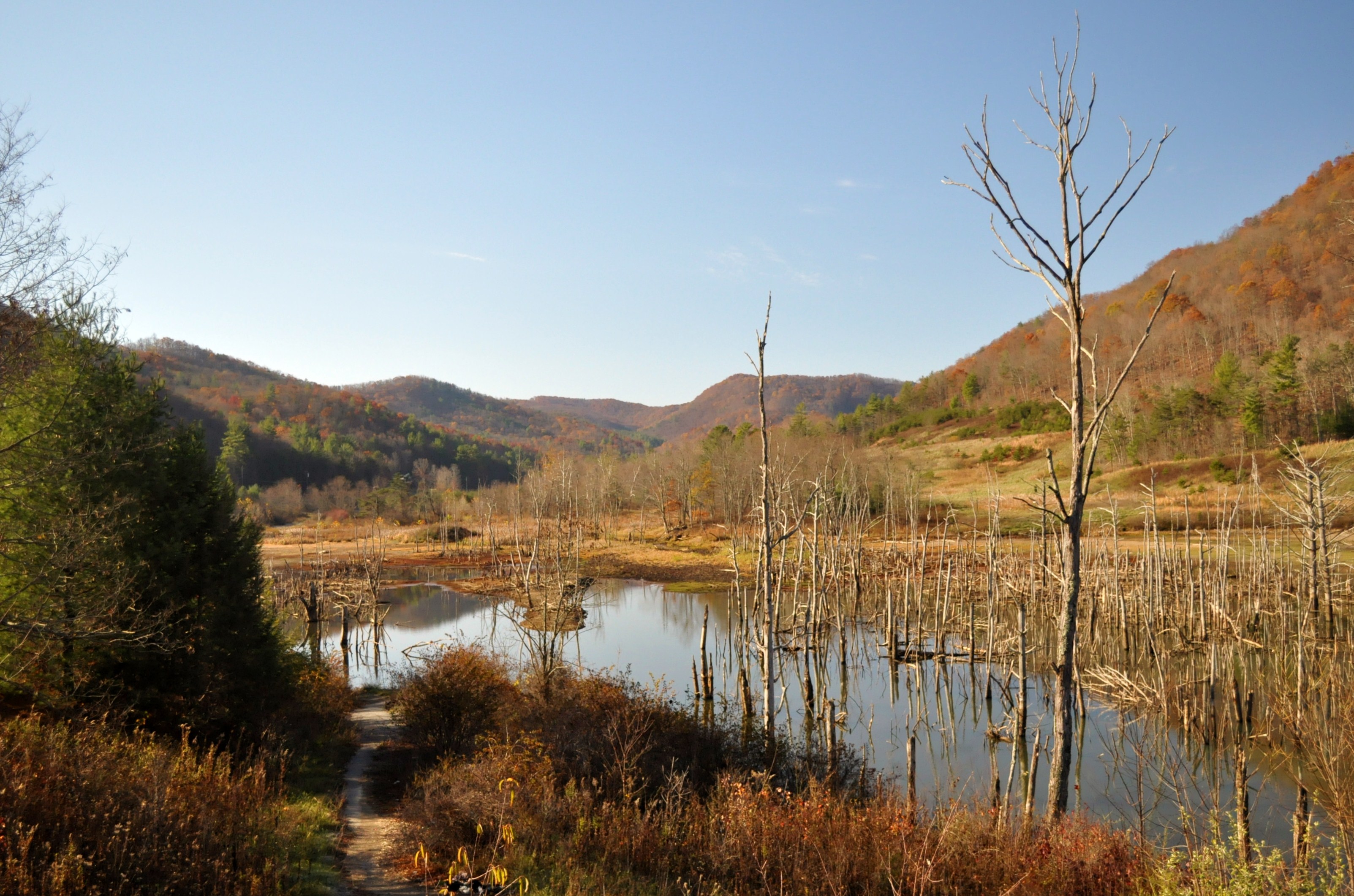
Reflecting on Autumn
West Virginia: Greenbrier: coming down from Alleghany Tunnel
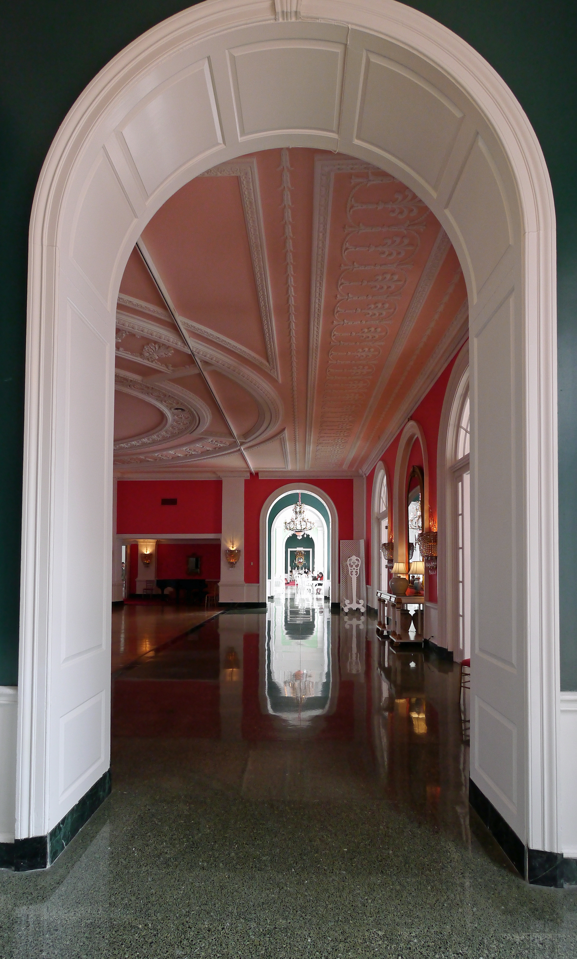
West Virginia: Greenbrier: The Greenbrier
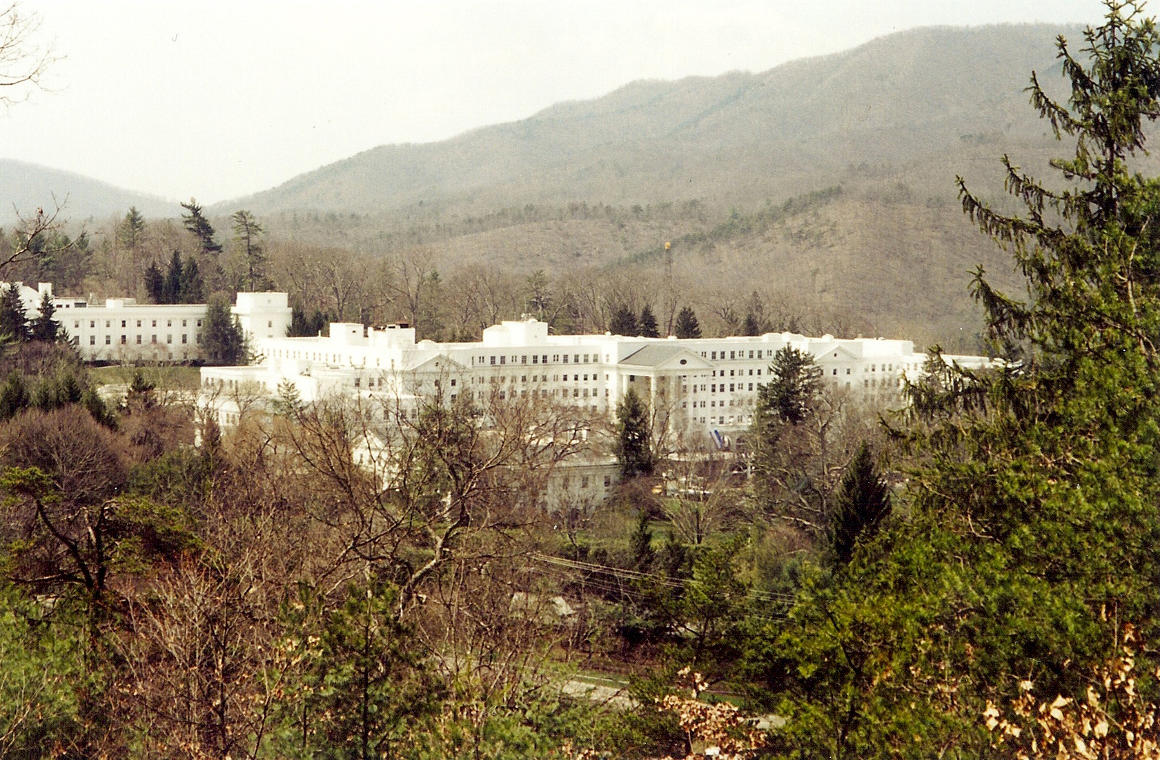
White Sulphur Springs WV: Greenbrier County: The Greenbrier Resort
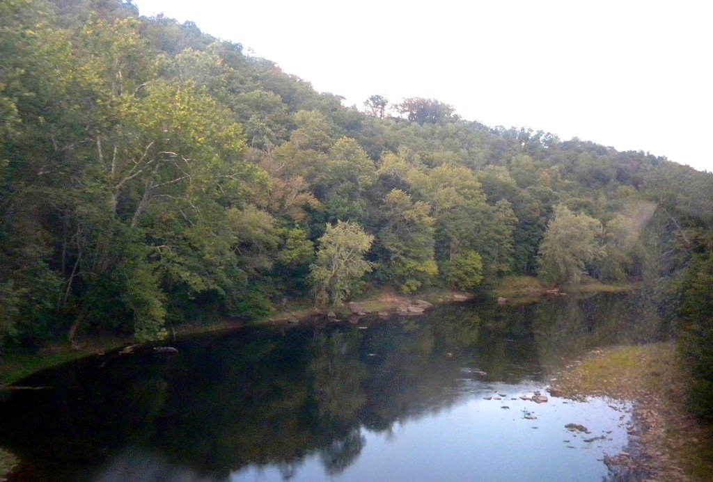
West Virginia: Crossing the Greenbrier River at Caldwell
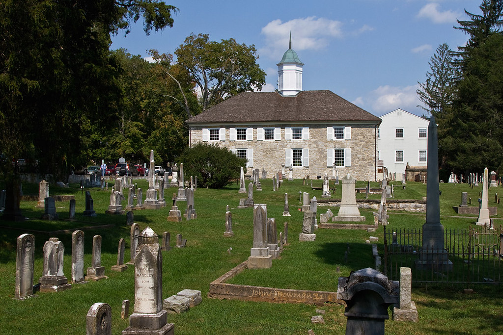
1796 Presbyterian Stone Church
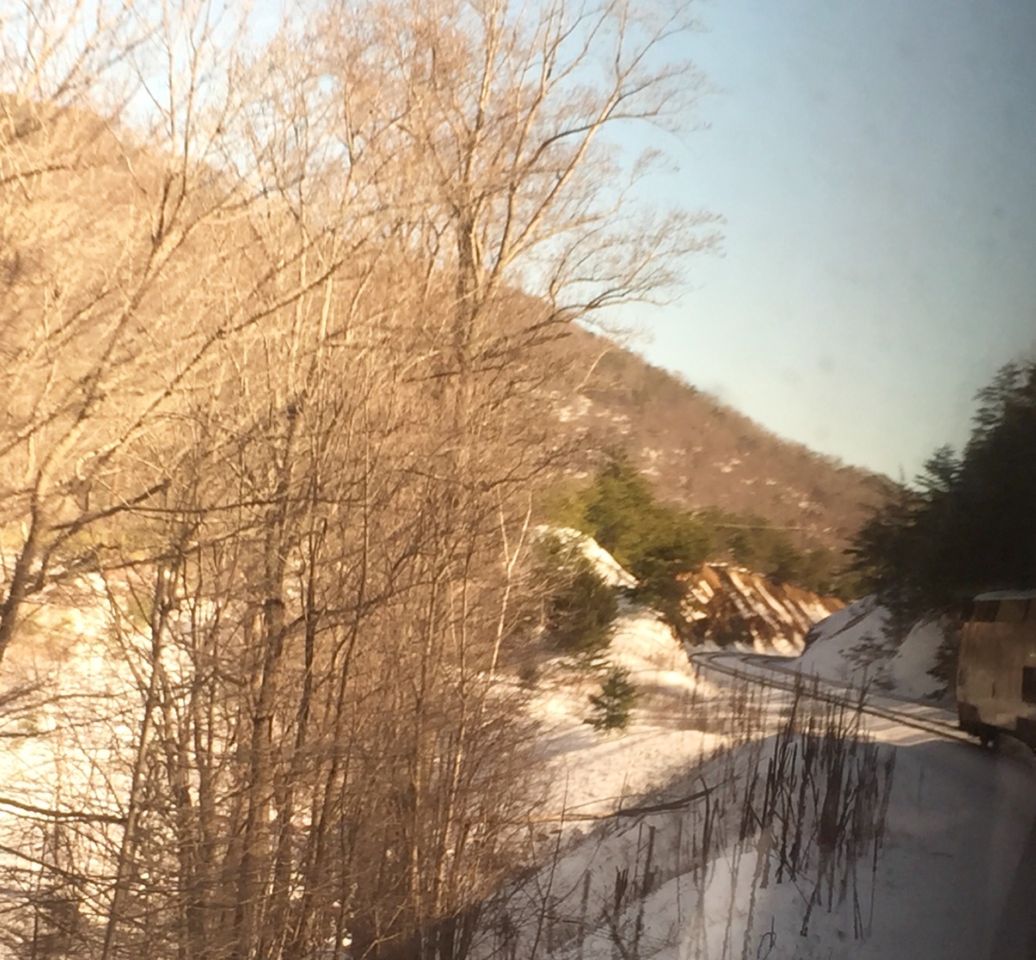
The Cardinal heads into Cut #28 in Greenbrier County near Caldwell WV.
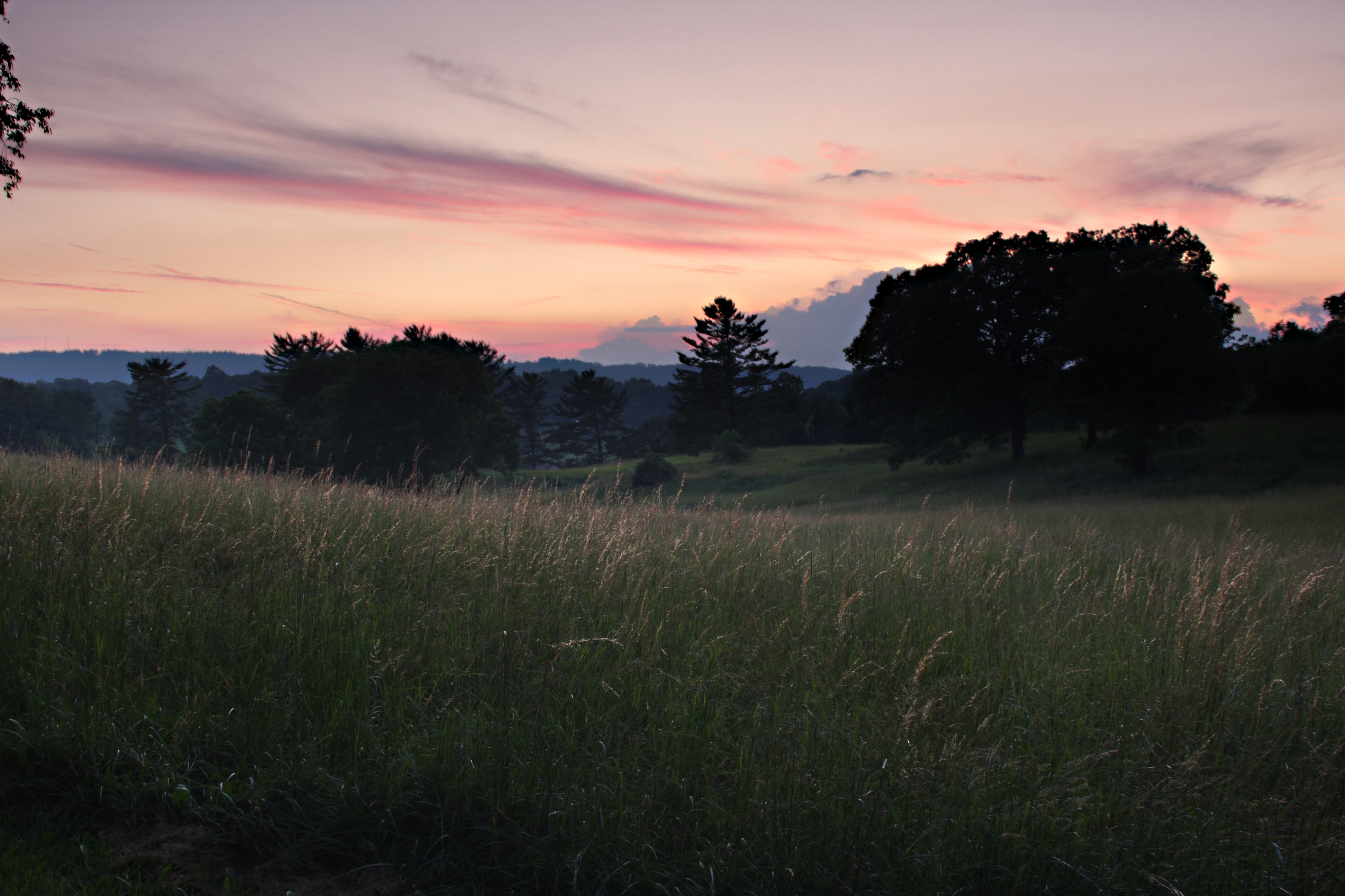
Lewisburg Sunset (Week 1)

Ronceverte, West Virginia train station & tracks
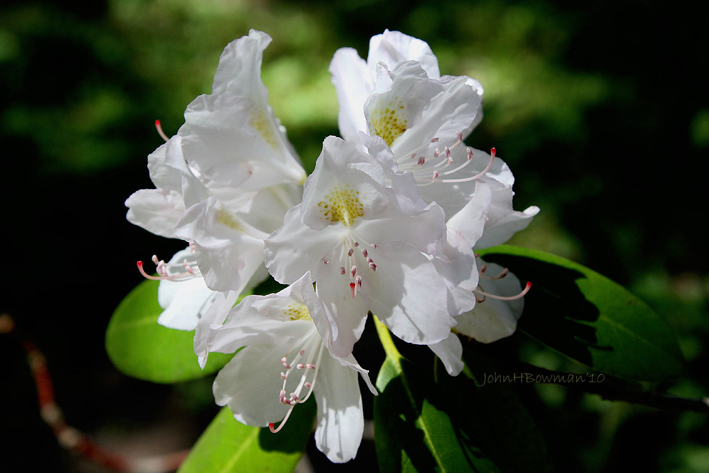
Second Spring - Rhododendron

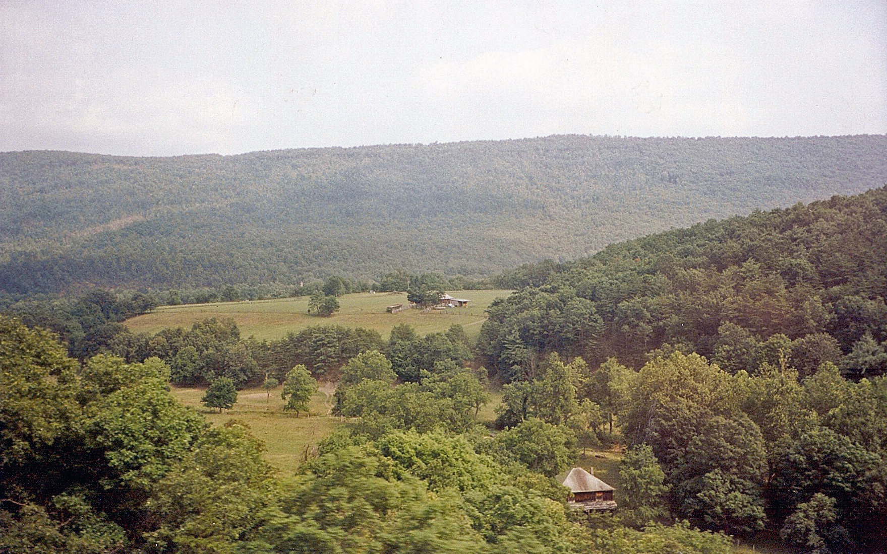
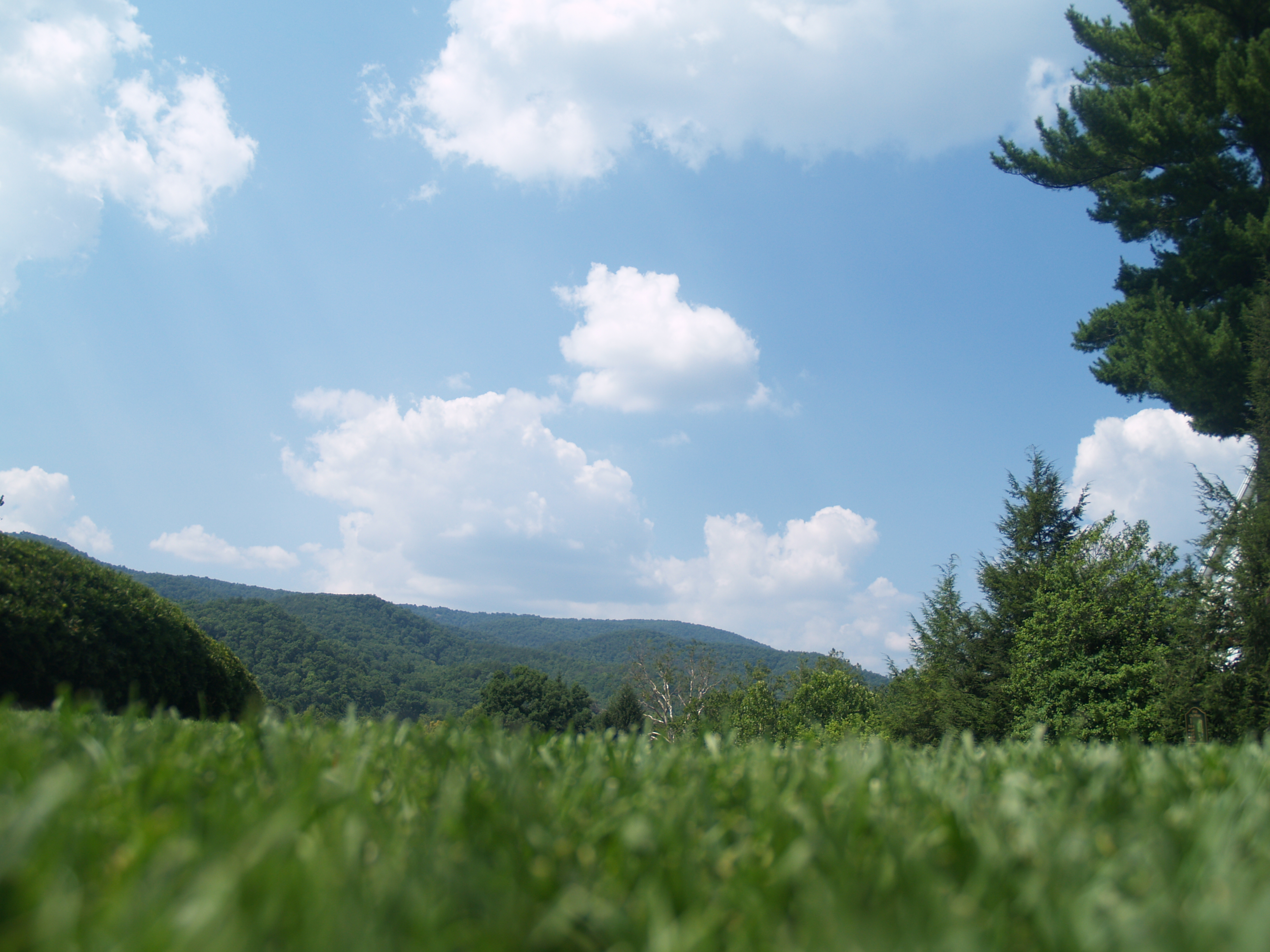
Long view 2
Near Hematite Virginia
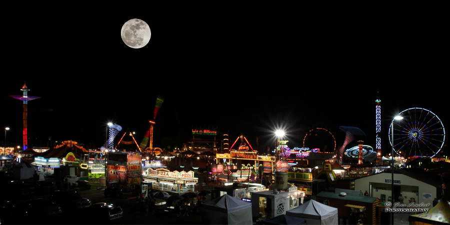
Full Moon Fever

Blue Bend
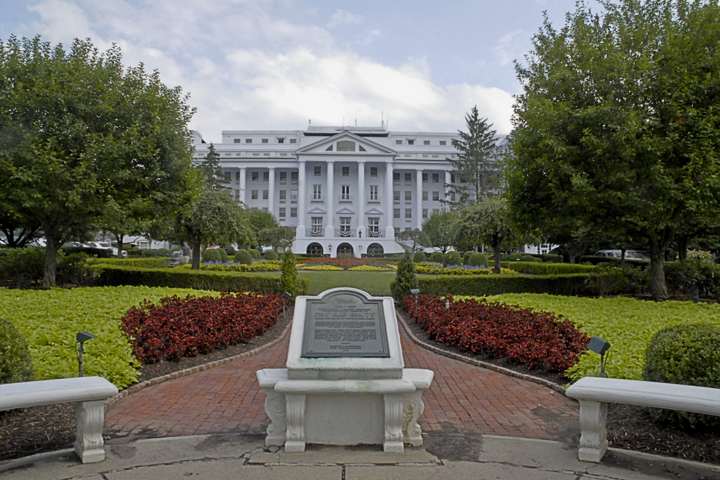
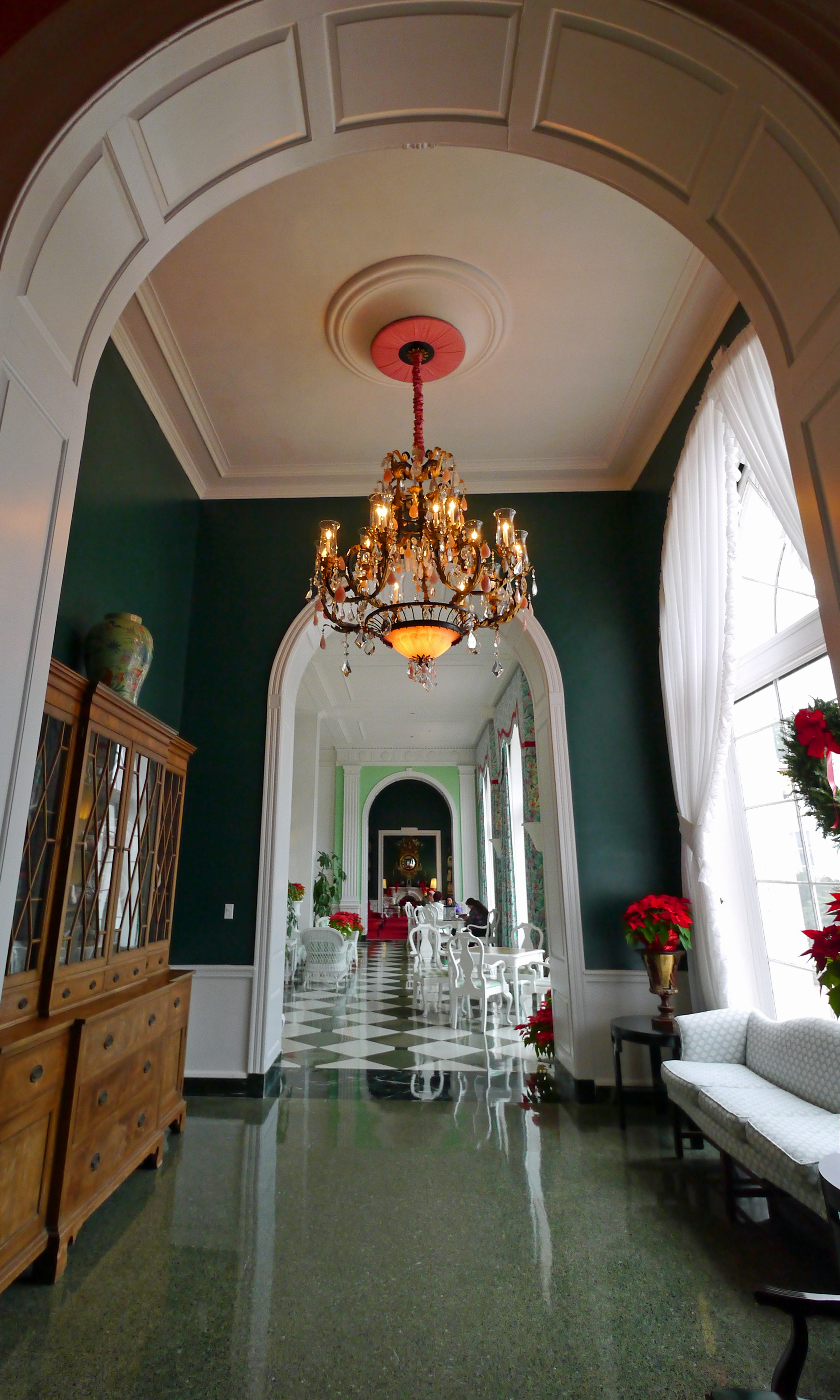
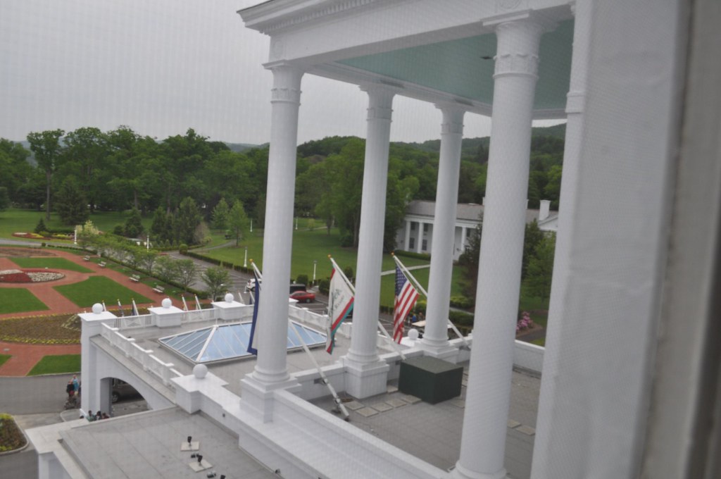
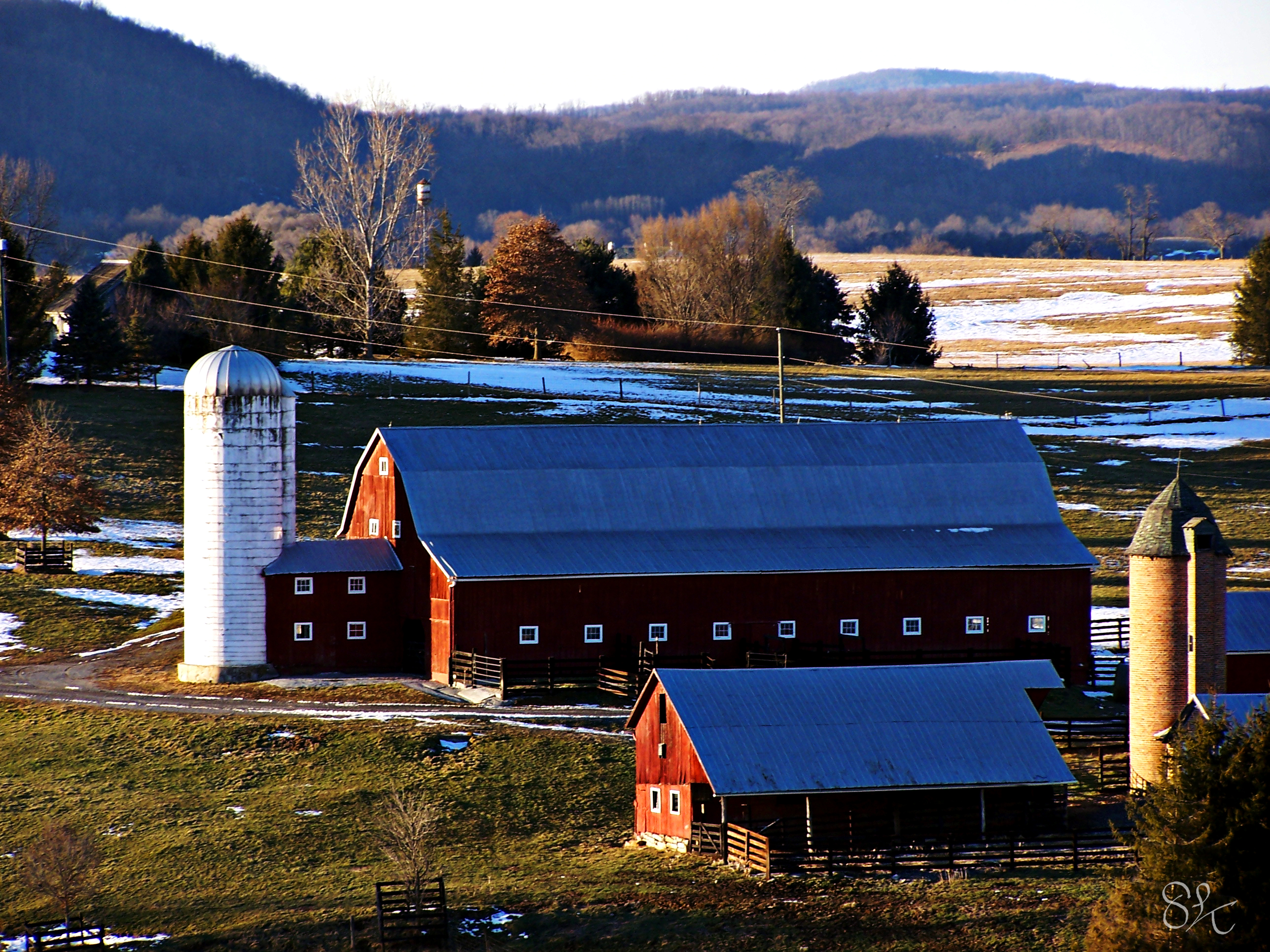
Greenbrier Hotel

Blue Bend
The View
Long view
August's Second Best: An Ant's View
Big oak
Blue Bend

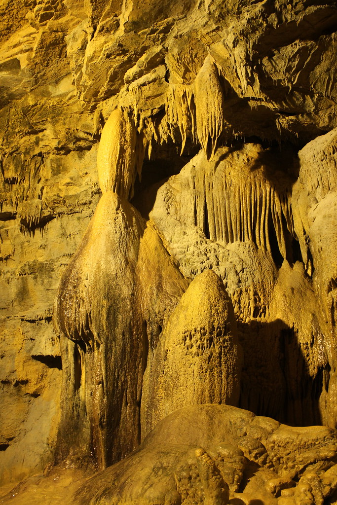
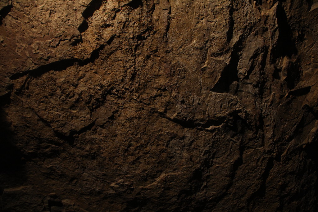
Lost World Caverns - "Ice Cream Wall"
Lost World Caverns

Lost World Caverns
Tuckahoe Lake
Organ Cave

Lost World Caverns
Organ Cave
Day 3 of the trip 053

Anthony Creek, Monongahela NF, West Virgina

Anthony Creek, Monongahela NF, West Virgina
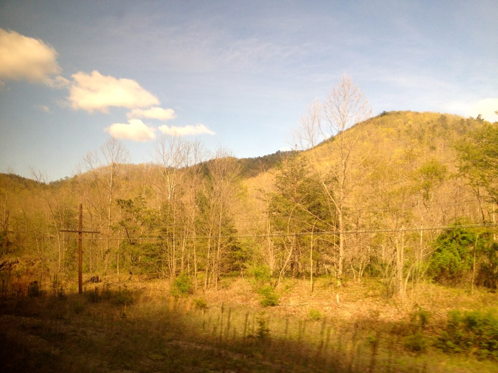
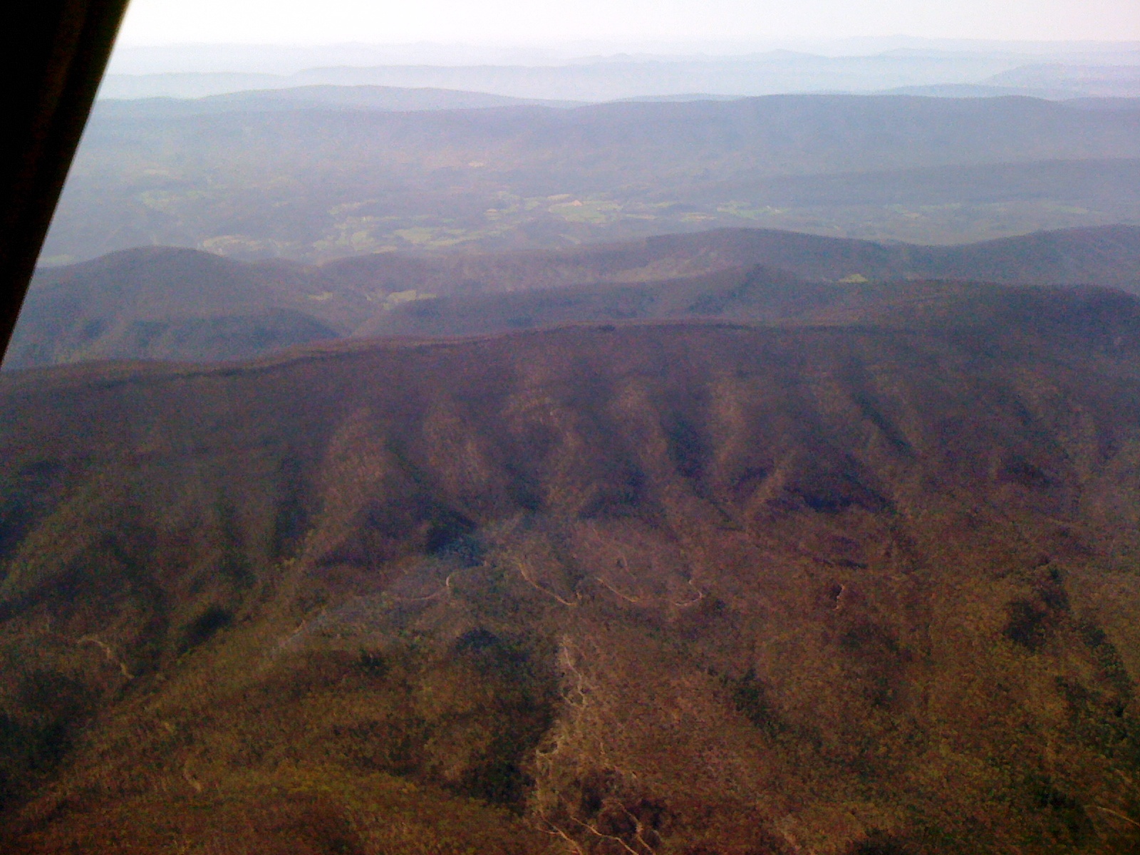
The Hills of West Virginia

Upper Hillsdale Limestone
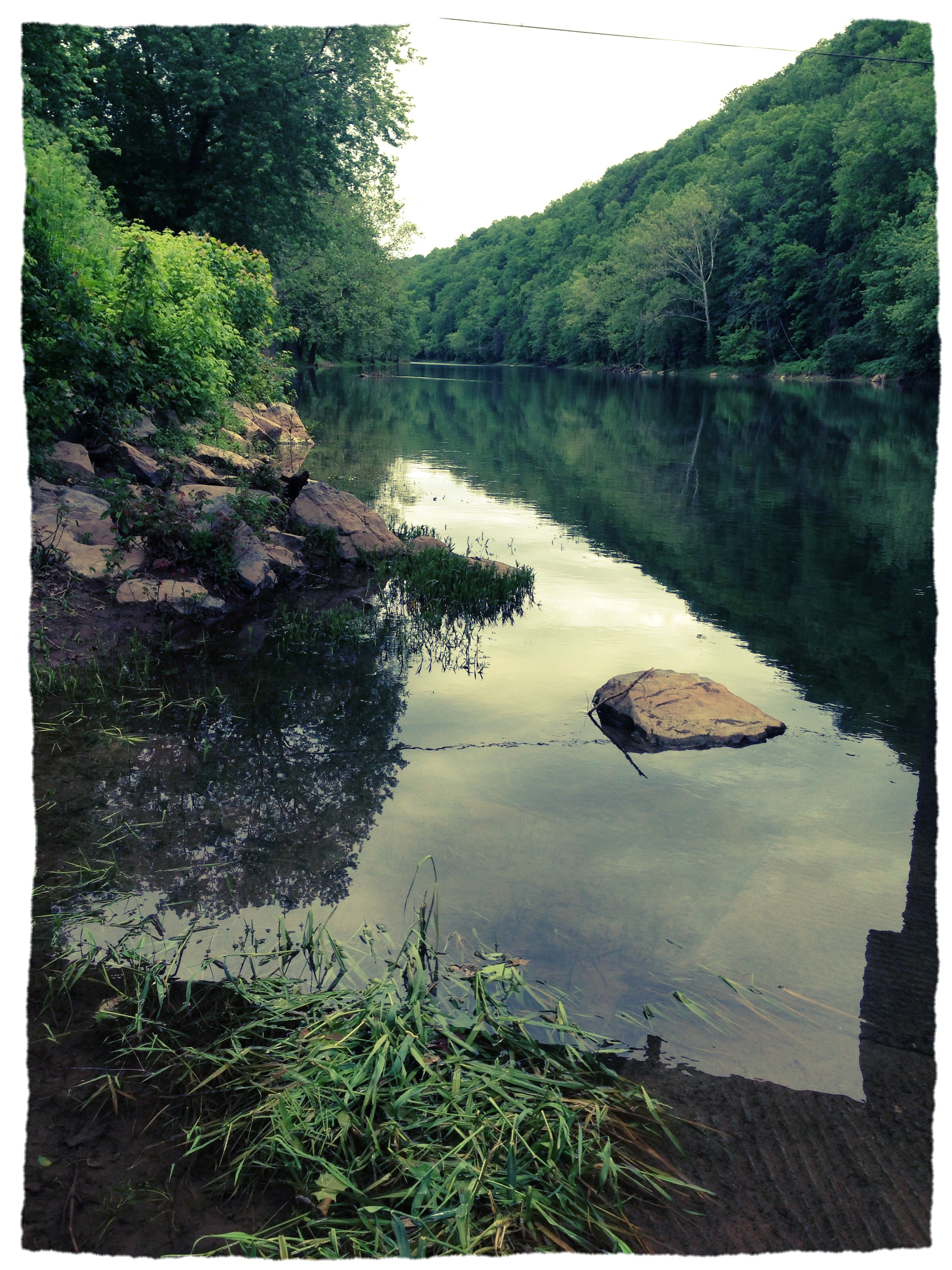
Greenbrier river trail
Topographic Map of The Greenbrier Golf Club, West Main Street, White Sulphur Springs, WV, USA
Find elevation by address:

Places near The Greenbrier Golf Club, West Main Street, White Sulphur Springs, WV, USA:
The Greenbrier
1562 Village Run Rd
The Old White Tpc Course
White Sulphur Springs Amtrak
White Sulphur Springs
WHT SPHR SPGS, WV, USA
942 Sherwood Lake Rd
Harper Rd, Lewisburg, WV, USA
818 Highland Dr
315 Oak Branch Ln
Caldwell
Keister
319 Broken Star Acres Rd
North Caldwell
Greenbrier Vista
Pocahontas Trail
Benedict Lane
Vago Rd, Frankford, WV, USA
2518 N Jefferson St
473 Mclaughlin Rd
Recent Searches:
- Elevation of Hercules Dr, Colorado Springs, CO, USA
- Elevation of Szlak pieszy czarny, Poland
- Elevation of Griffing Blvd, Biscayne Park, FL, USA
- Elevation of Kreuzburger Weg 13, Düsseldorf, Germany
- Elevation of Gateway Blvd SE, Canton, OH, USA
- Elevation of East W.T. Harris Boulevard, E W.T. Harris Blvd, Charlotte, NC, USA
- Elevation of West Sugar Creek, Charlotte, NC, USA
- Elevation of Wayland, NY, USA
- Elevation of Steadfast Ct, Daphne, AL, USA
- Elevation of Lagasgasan, X+CQH, Tiaong, Quezon, Philippines