Elevation of The Church of Jesus Christ of Latter-day Saints, SW Range Dr, Waldport, OR, USA
Location: United States > Oregon > Lincoln County > Waldport >
Longitude: -124.07787
Latitude: 44.4162794
Elevation: 21m / 69feet
Barometric Pressure: 101KPa
Elevation Map:
Satellite Map:
Related Photos:
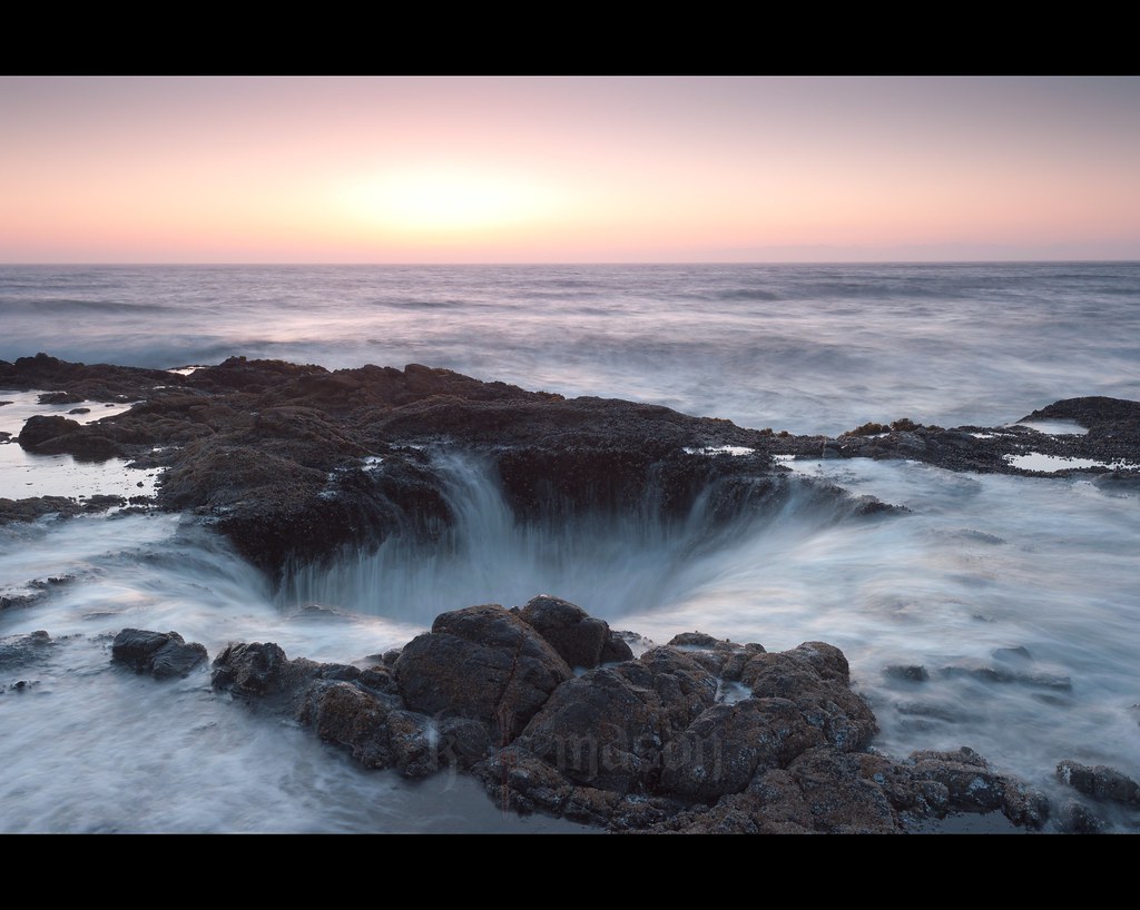
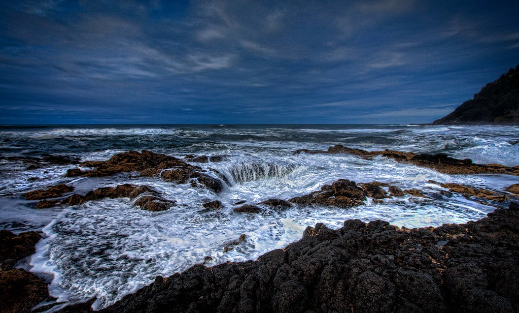
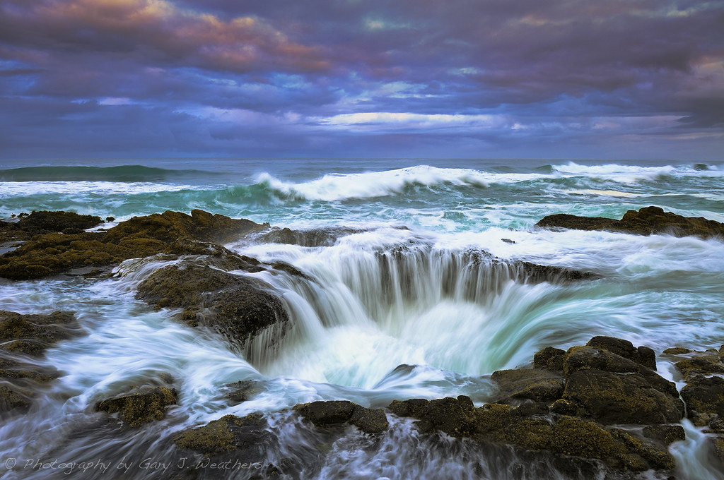
Thors Well
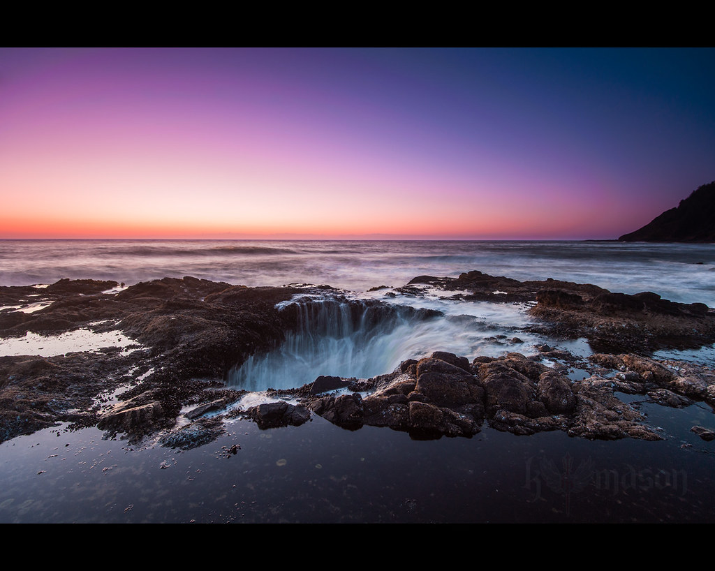
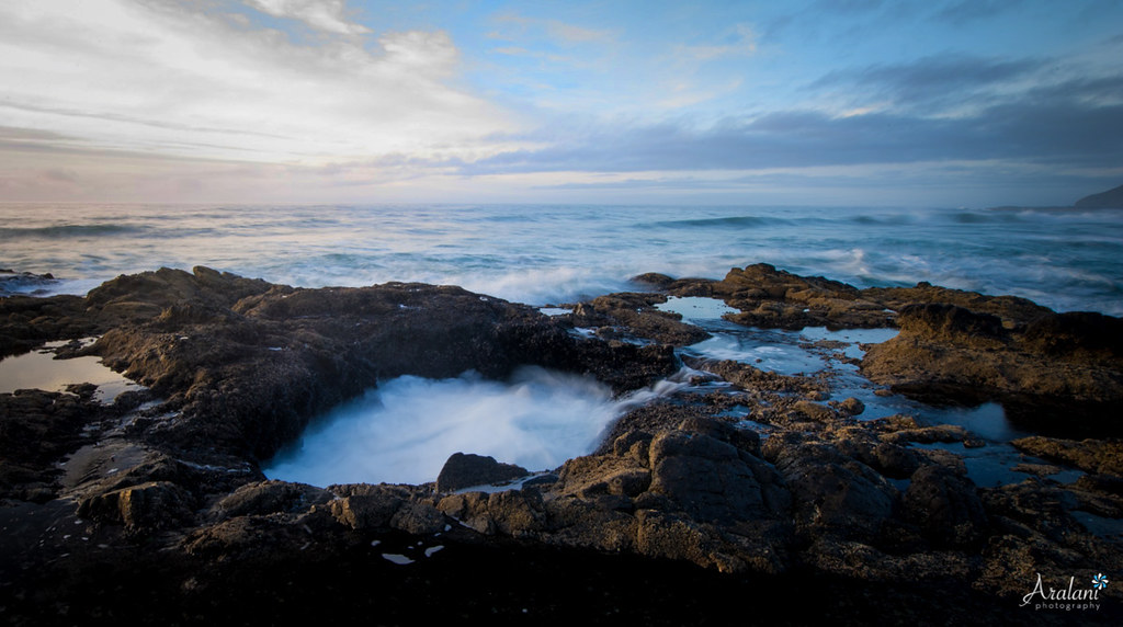
thors well part three

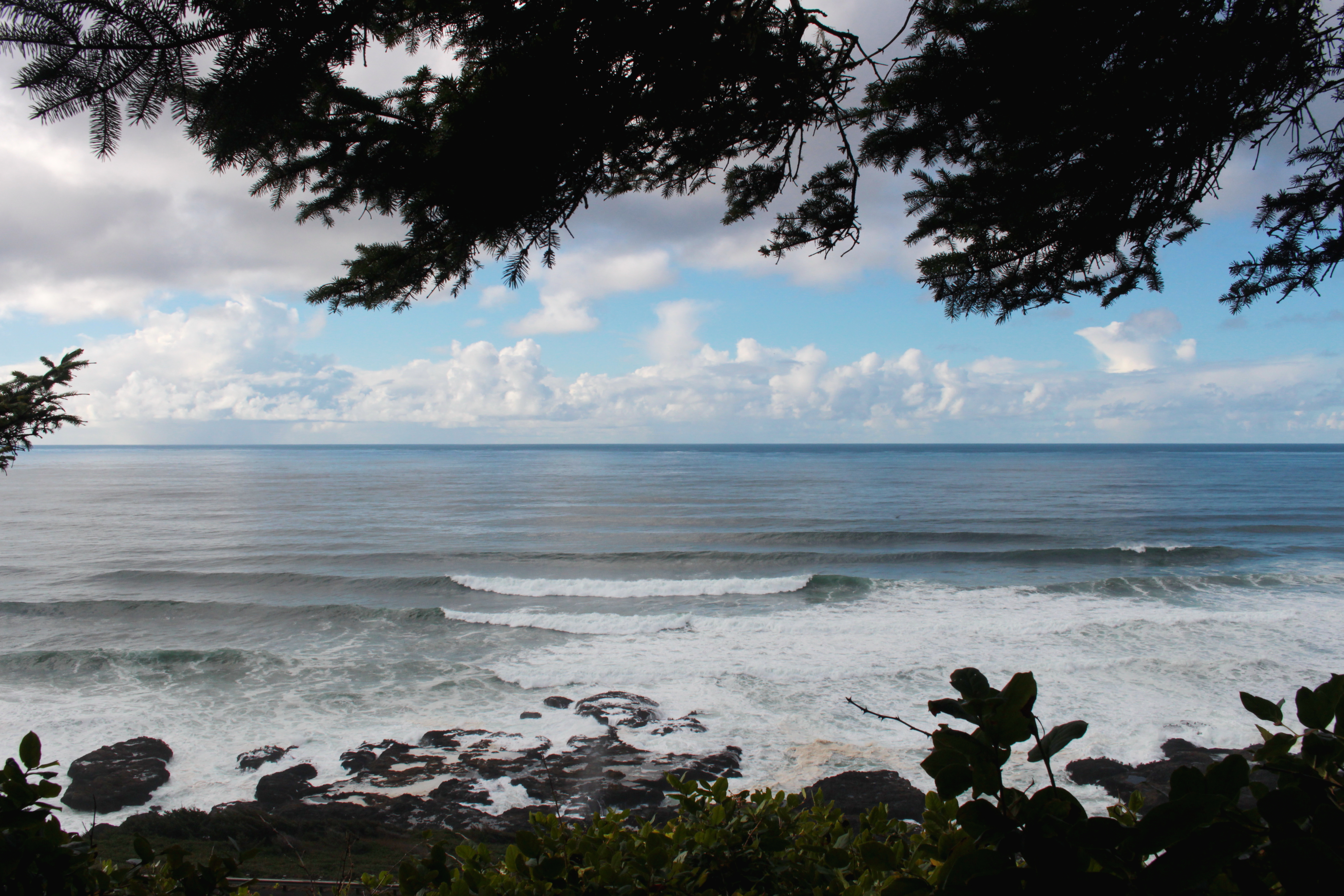
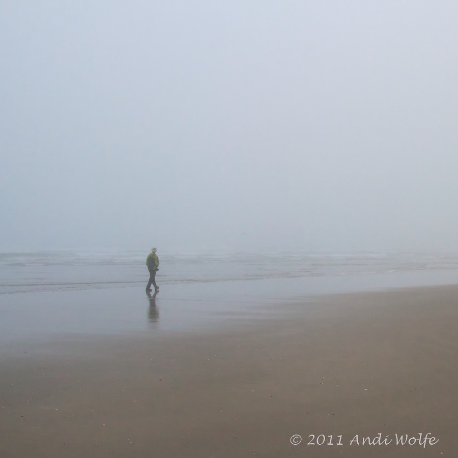
Beach View
starfish alley
cape perpetua view 2
cape perpetua view 1
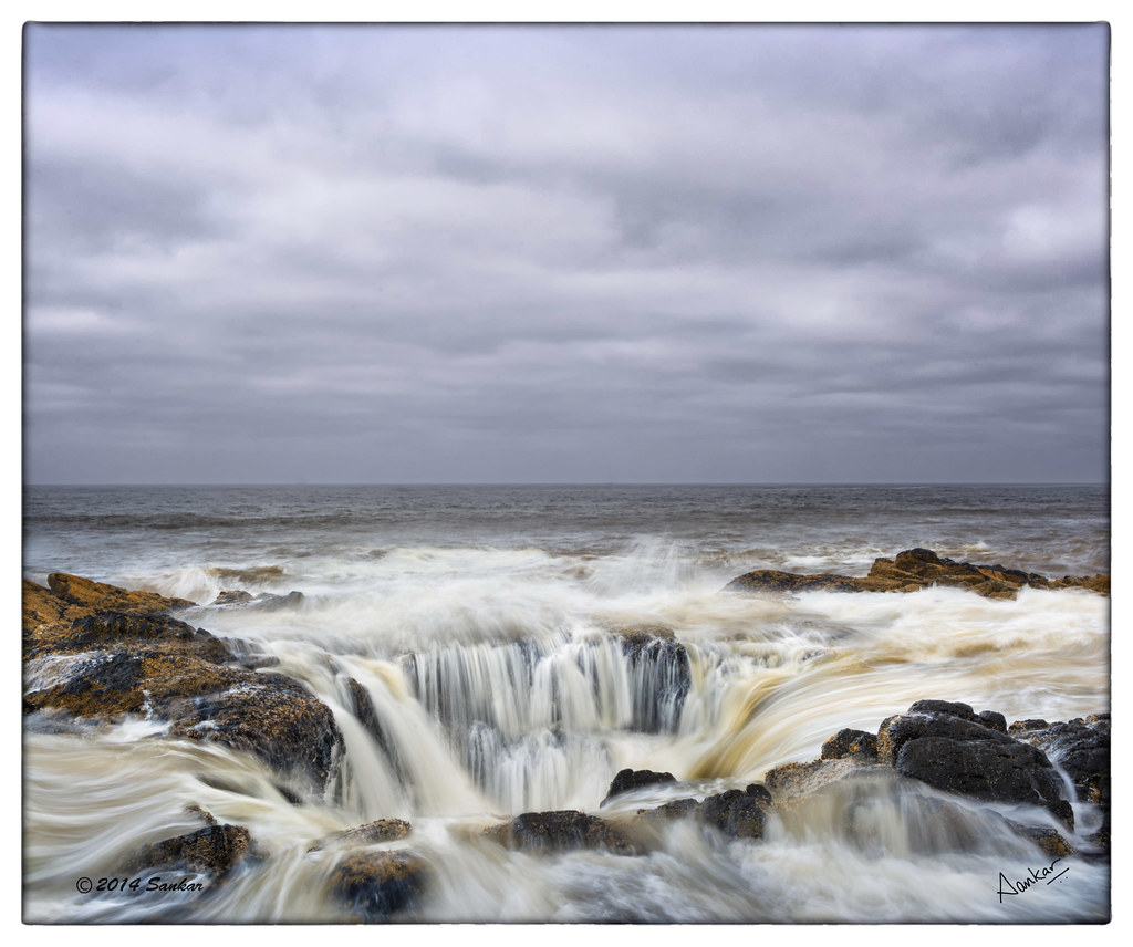
Thor's Well at Cape Perpetua HDR
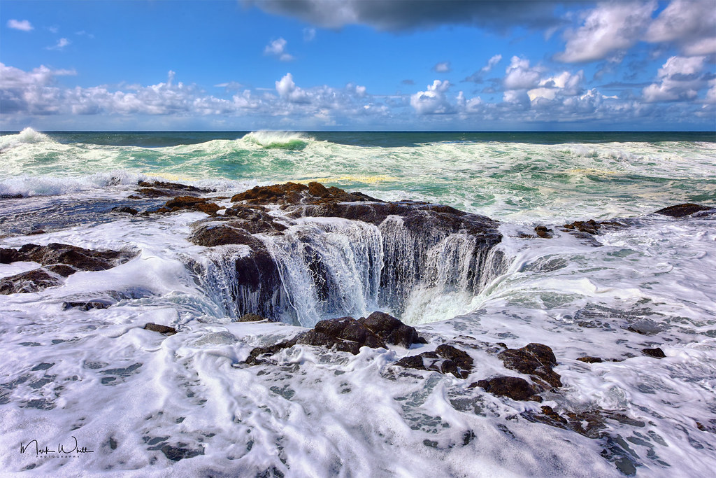
Thor's Well
View from The Landmark
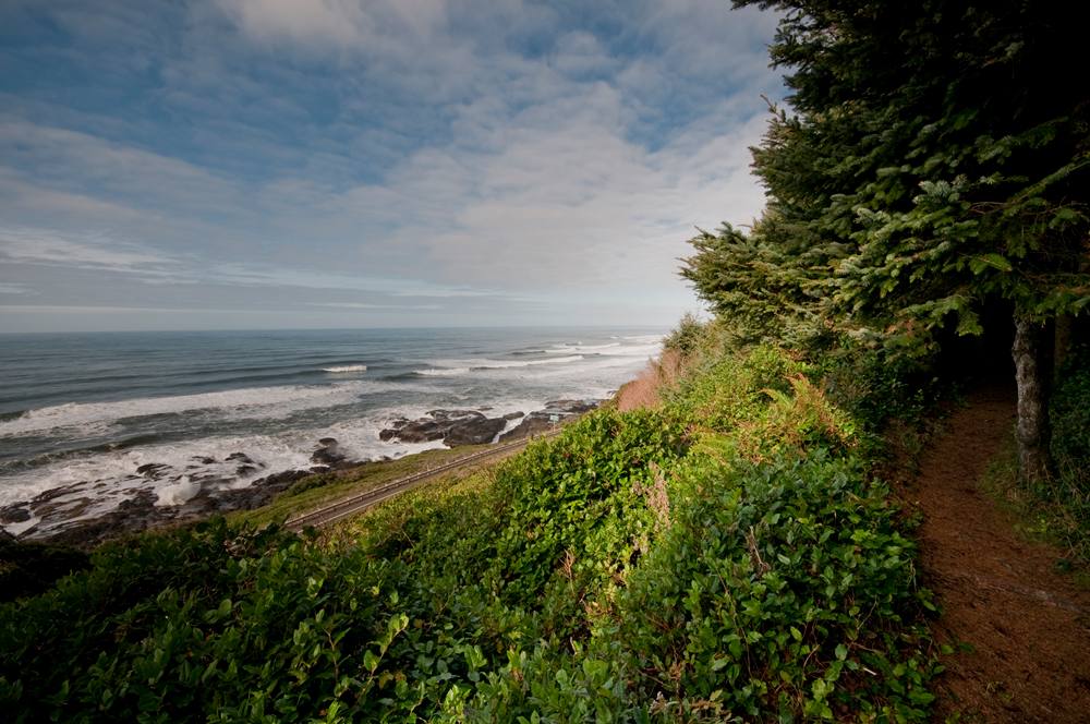
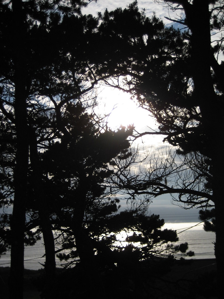
Trailside "windows" provided ocean views
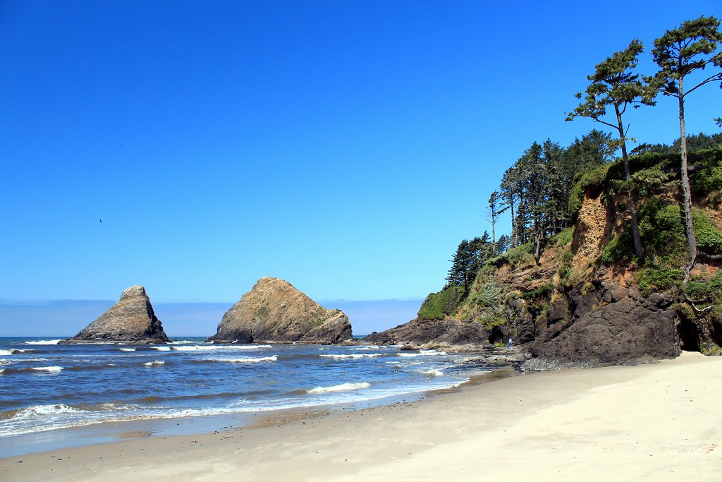
Heceta Head Hideaway
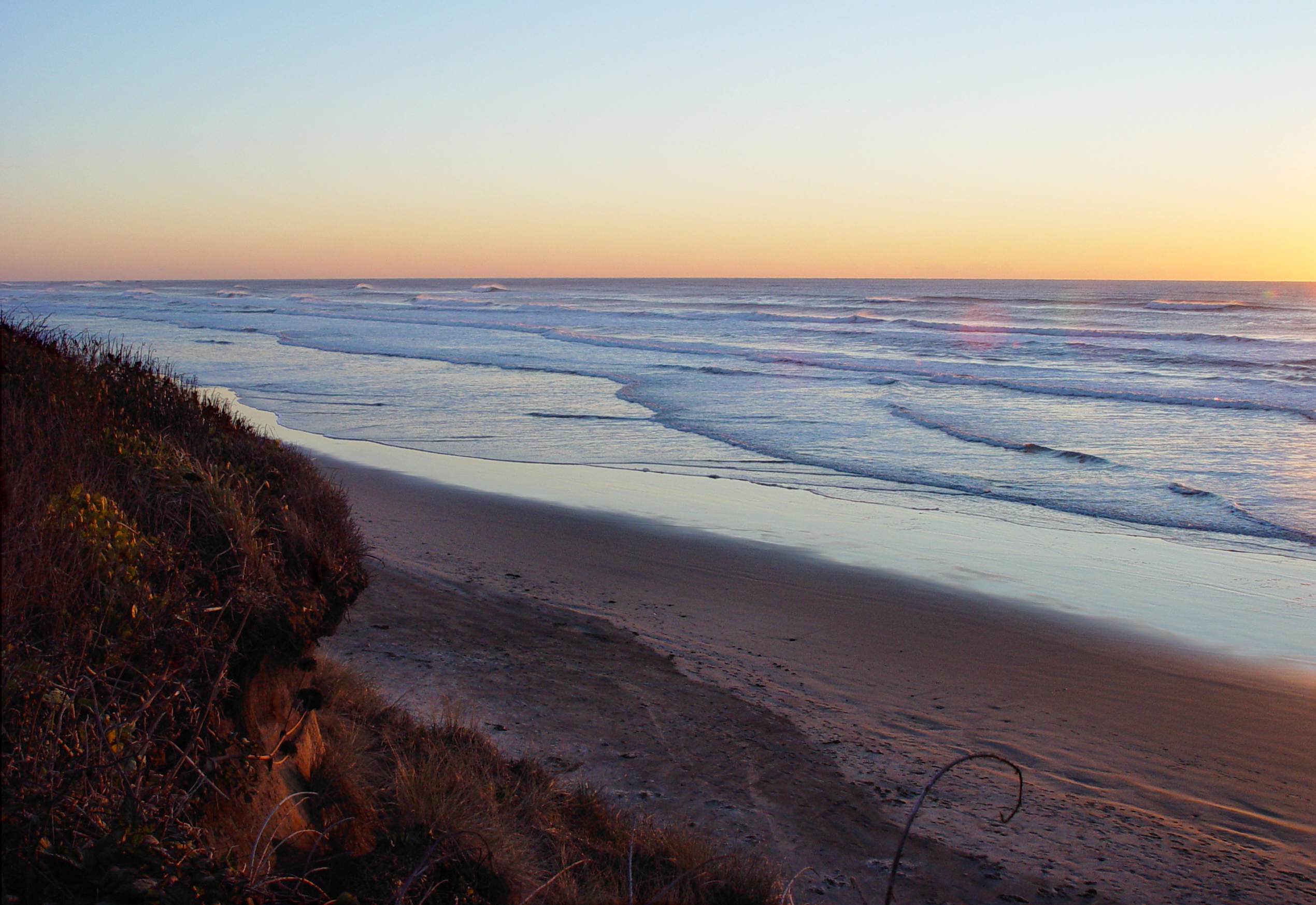
Beach & Waves at Sunset
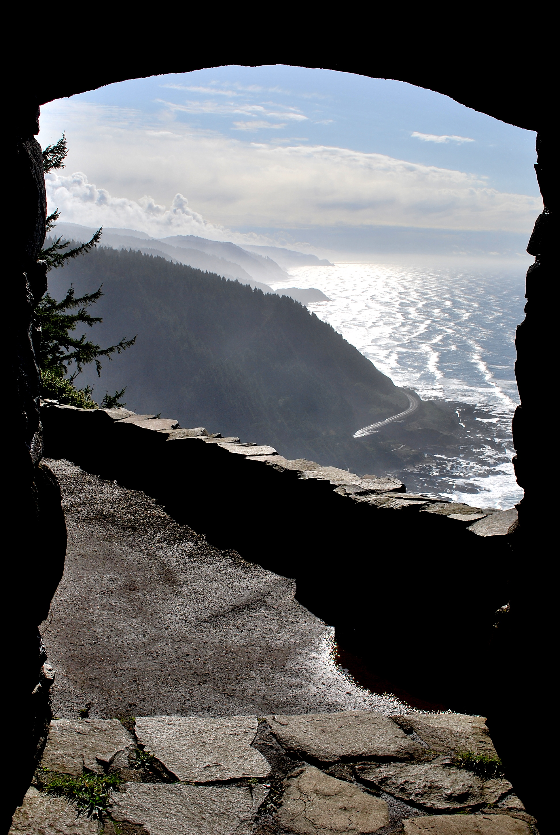
View South from Cape Perpetua Stone Shelter

Lights on the Harbor

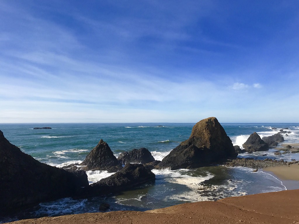
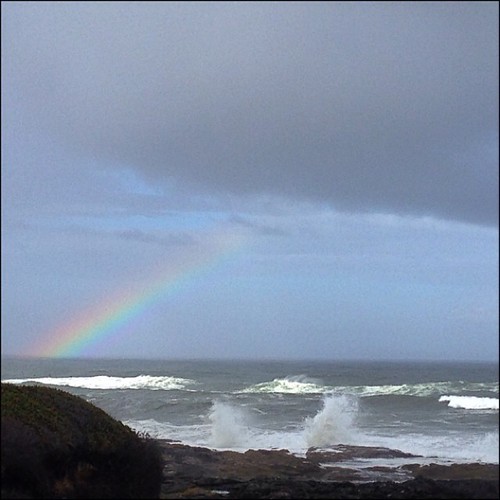
Sunset at the Seal Rock Sea Stacks
Gwynn Creek Trail
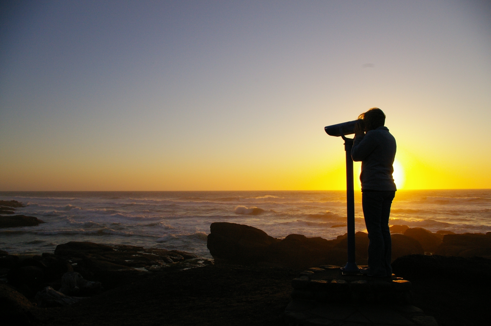
Sunset Viewing

What a view!
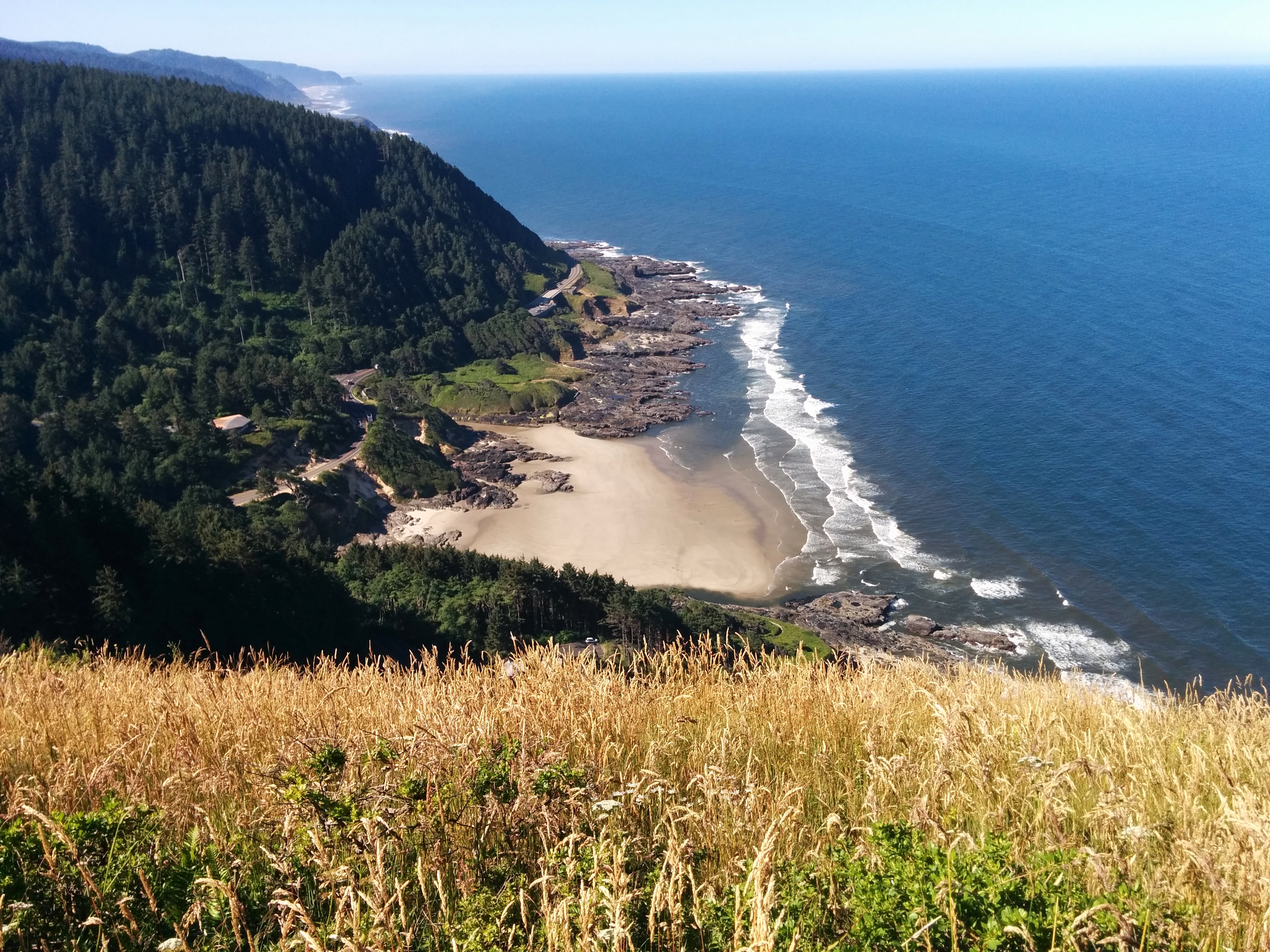
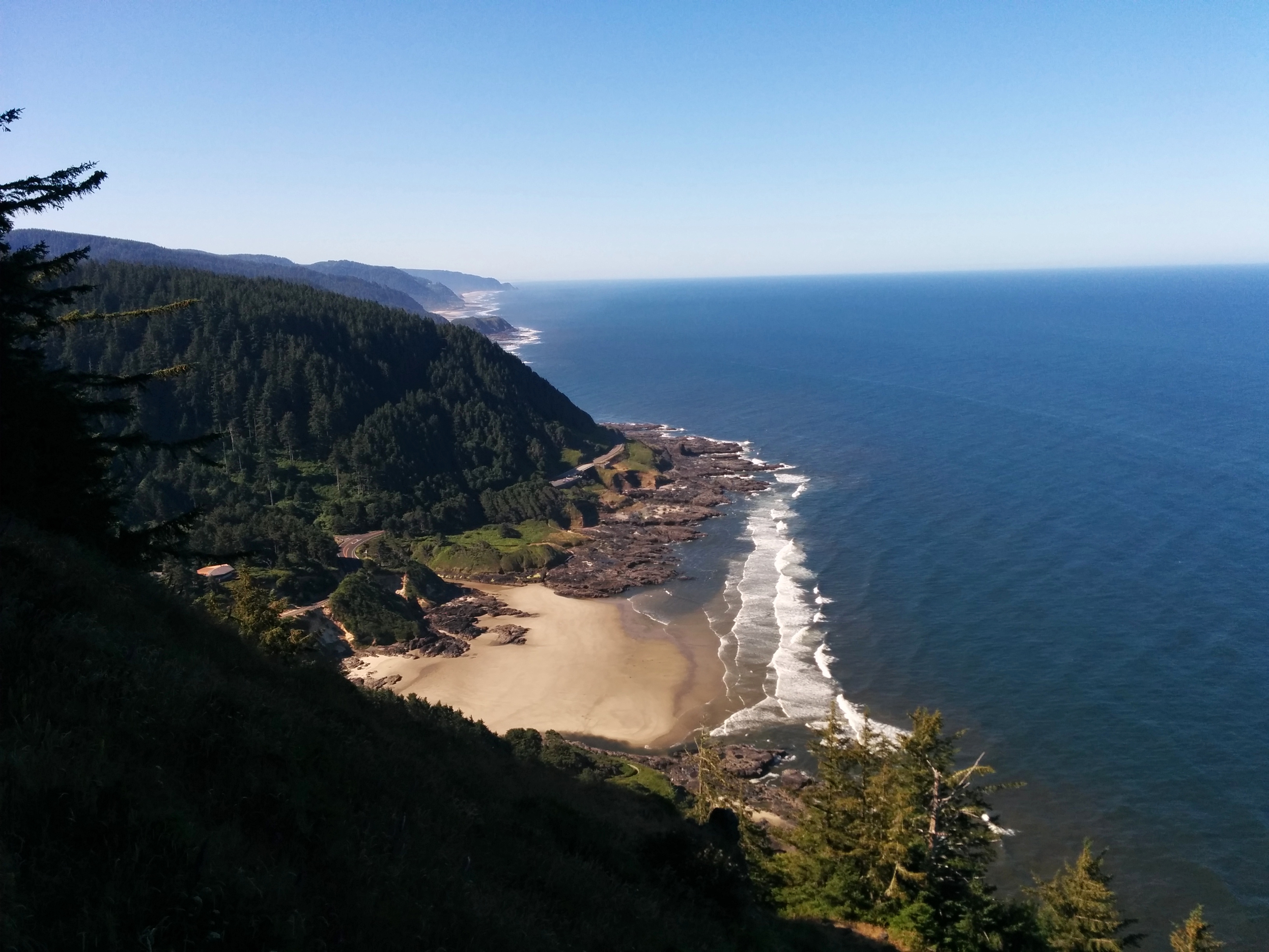
Cape Perpetua
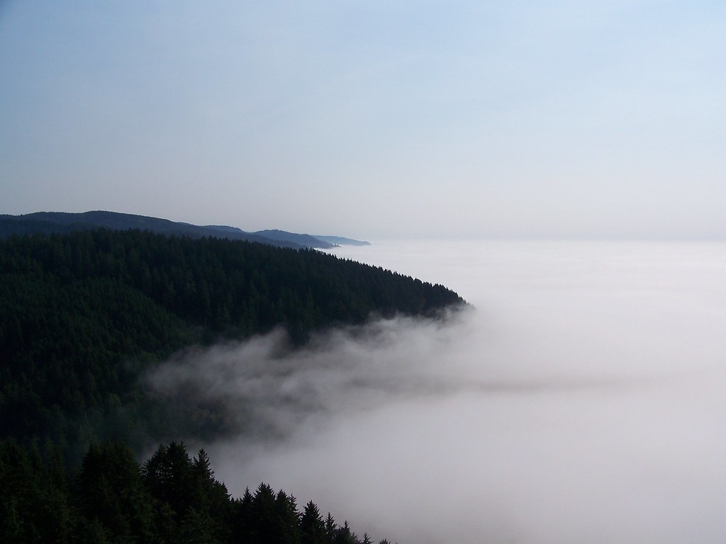
Sunset Fog
"Sunset"
Thor's Well 2
This is My Kingdom Come
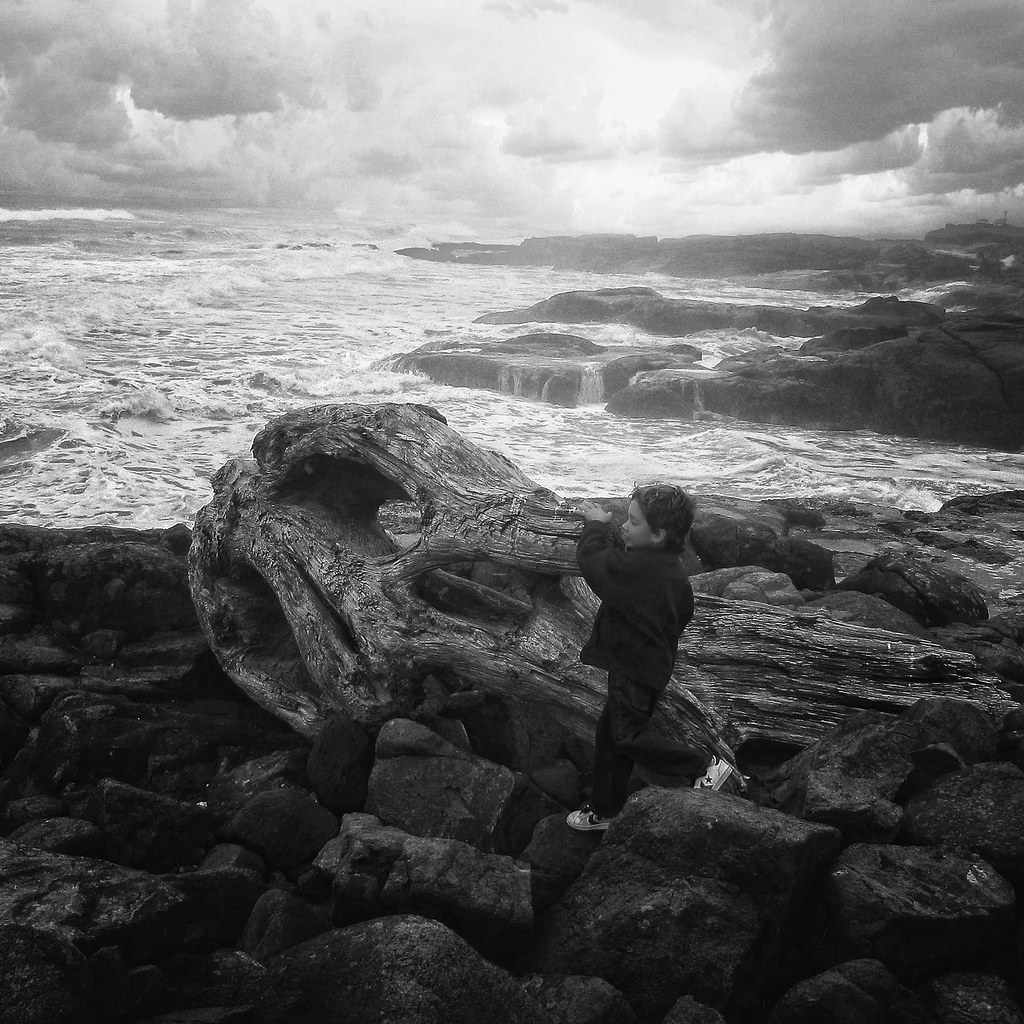
Urgent business

Beach Time Exposure
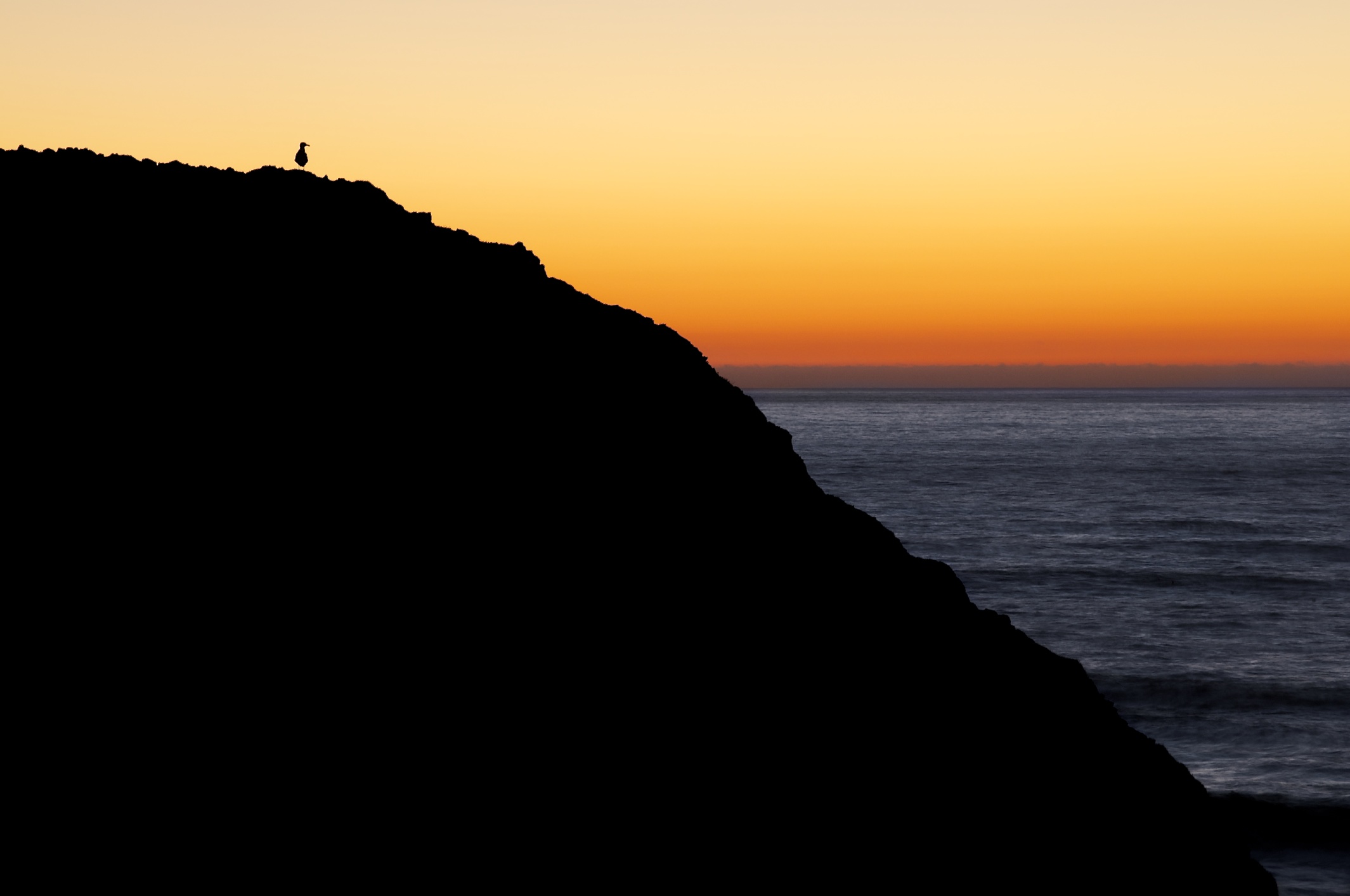
Alone at Sunset
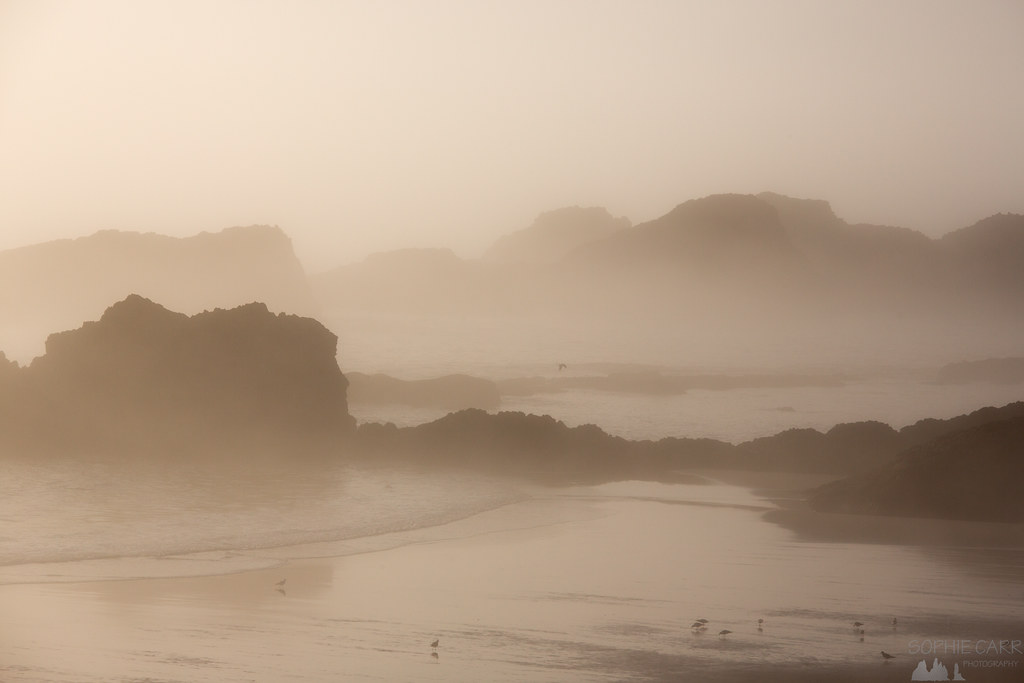
A Misty Cauldron
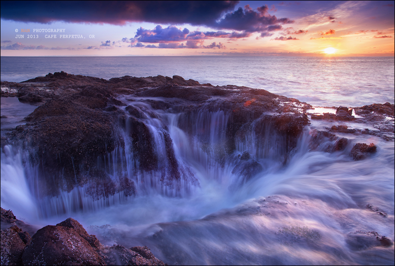
Thor’s Well

Thor's Well. Published in @natgeo book "Rarely Seen: Photographs of the Extraordinary", although based on the number of people there these days, it's a little hard to think of this place as "rarely seen". ????. But Cape Perpetua is still one of my
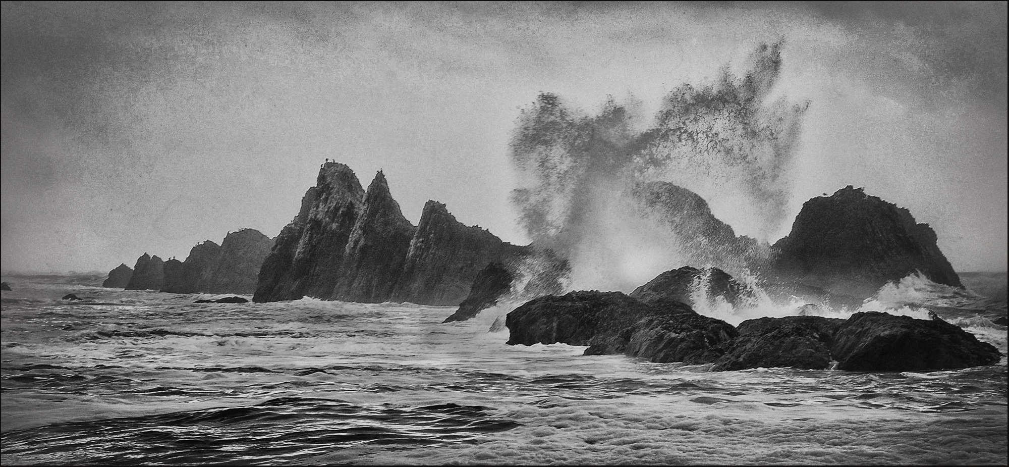
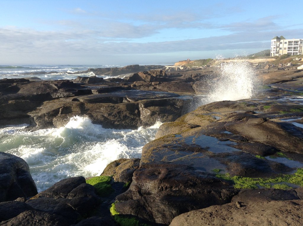
Seal Rocks, Rockport Oregon / An Explosive Day At Seal Rocks January 2009

Thor's Well

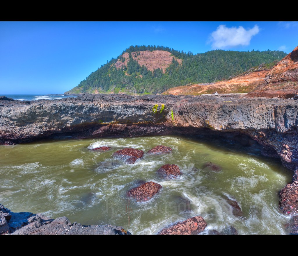
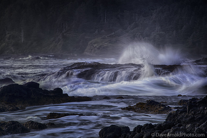
Spouting Horn, Cape Perpetua, Oregon
Sanctuary String
King Tide. Cape Perpetua
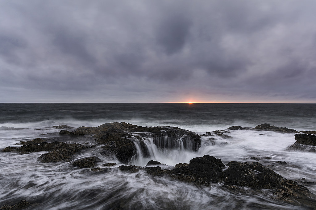
Sunset Thor's Well
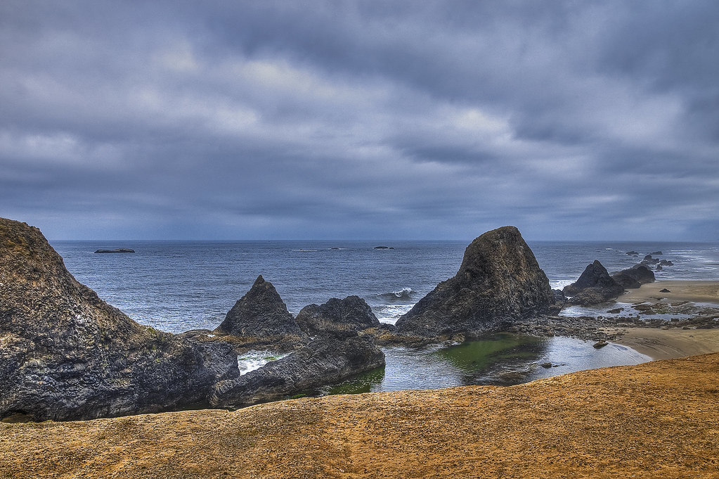
Seal Rock near Waldport, OR
Foggy morning series
Good morning

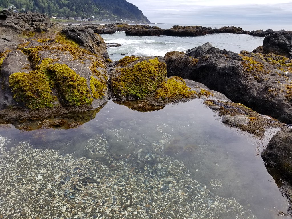
Seal Rock State Park
2014-08-31 18.38.27
Beach at Yachats, OR
verge of drifting
Topographic Map of The Church of Jesus Christ of Latter-day Saints, SW Range Dr, Waldport, OR, USA
Find elevation by address:

Places near The Church of Jesus Christ of Latter-day Saints, SW Range Dr, Waldport, OR, USA:
1060 Tara Ln
1060 Tara Ln
1060 Tara Ln
1188 Sw Seabrook Ln
1409 Sw Adahi Ave
645 Sw Range Dr
126 Nw Oceania Dr
Waldport
125 Sw Brentwood Dr
230 Nw Oceania Dr
1913 Nw Marineview Dr
2005 Nw Marineview Dr
125 Oregon Coast Hwy
3385 Sw Pacific Coast Hwy
3505 Sw Pacific Coast Hwy
Southwest Fernwood Drive
1313 Nw Bayshore Dr
1302 Nw Oceania Dr
1510 Nw Parker Ave
1617 Nw Bayshore Dr
Recent Searches:
- Elevation of Jalan Senandin, Lutong, Miri, Sarawak, Malaysia
- Elevation of Bilohirs'k
- Elevation of 30 Oak Lawn Dr, Barkhamsted, CT, USA
- Elevation of Luther Road, Luther Rd, Auburn, CA, USA
- Elevation of Unnamed Road, Respublika Severnaya Osetiya — Alaniya, Russia
- Elevation of Verkhny Fiagdon, North Ossetia–Alania Republic, Russia
- Elevation of F. Viola Hiway, San Rafael, Bulacan, Philippines
- Elevation of Herbage Dr, Gulfport, MS, USA
- Elevation of Lilac Cir, Haldimand, ON N3W 2G9, Canada
- Elevation of Harrod Branch Road, Harrod Branch Rd, Kentucky, USA