Elevation of The Aursjøvegen, Sunndal, Norway
Location: Norway > Møre Og Romsdal > Sunndal >
Longitude: 8.5514831
Latitude: 62.6646856
Elevation: 40m / 131feet
Barometric Pressure: 101KPa
Elevation Map:
Satellite Map:
Related Photos:
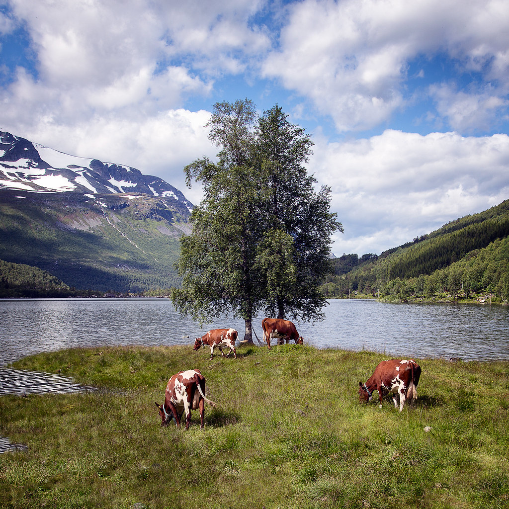
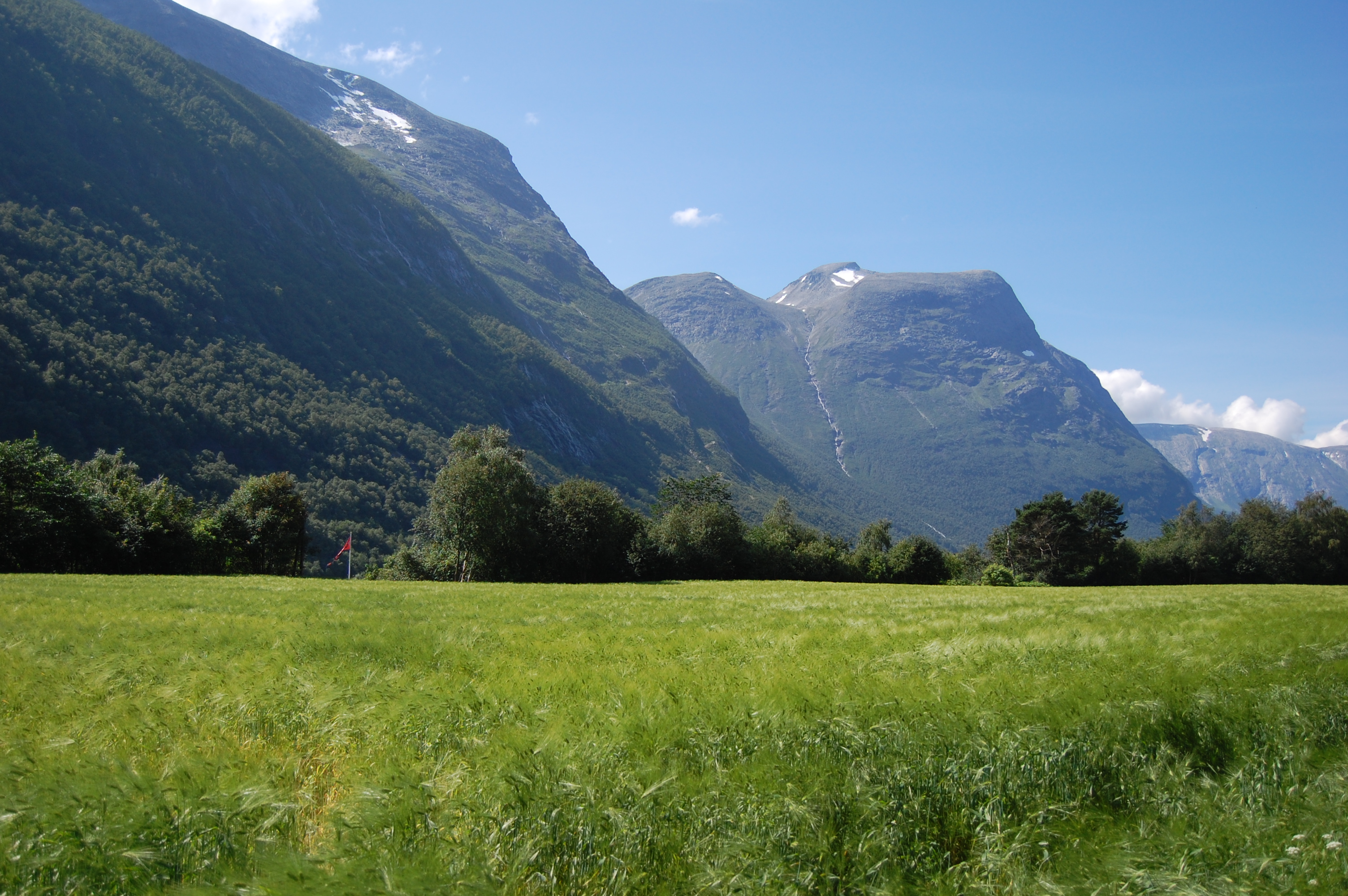
Litledalen valley
The Party
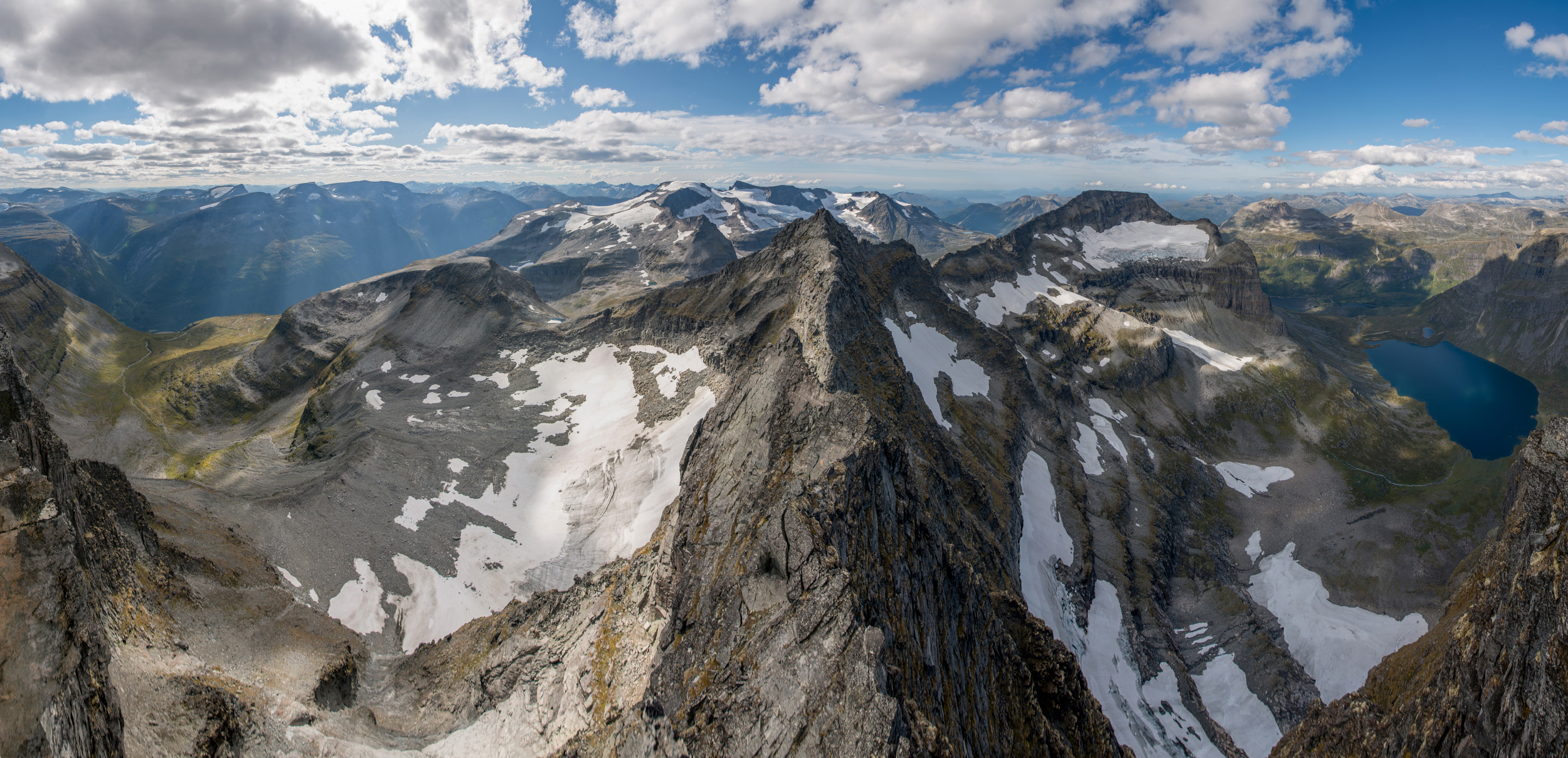
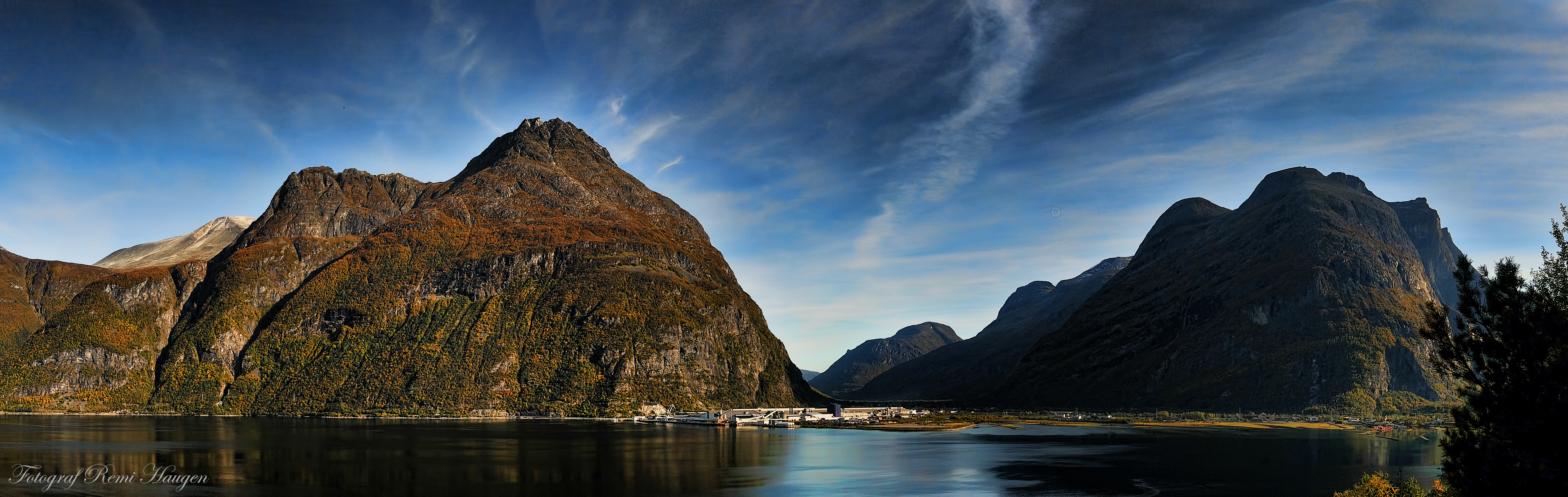
Store Trolla Panorama
The Party
Fjord BBQ
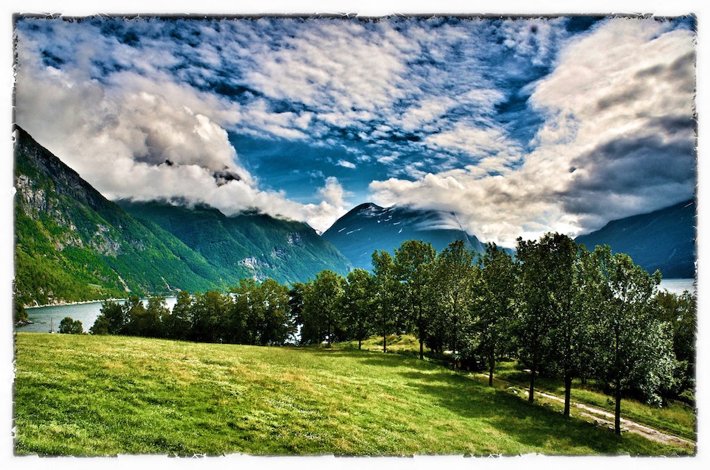
Panoramic view towards Innerdalen, for some, the most beautiful valley in Norway
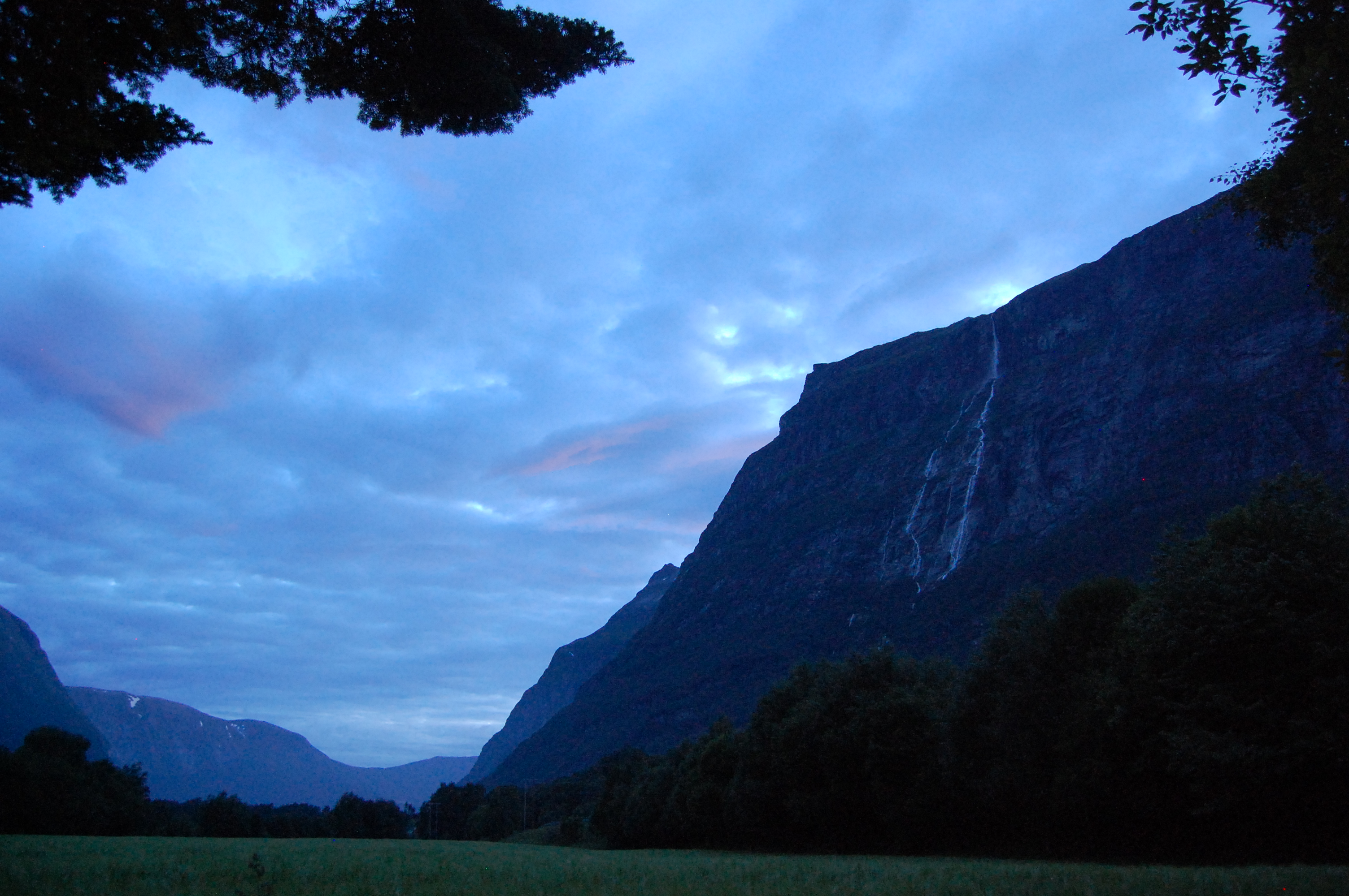
Kveld i Litldalen
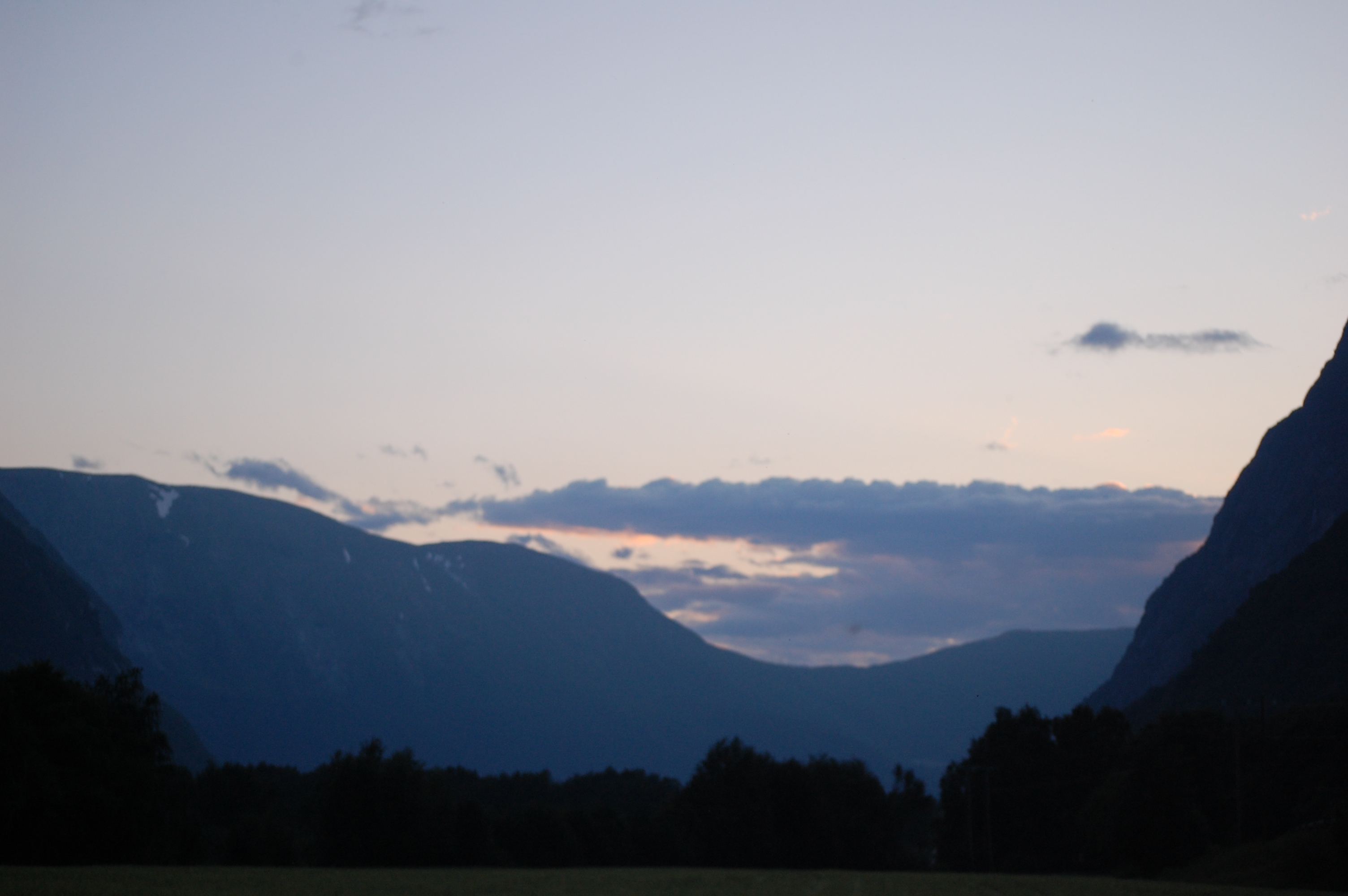
Sunset 2

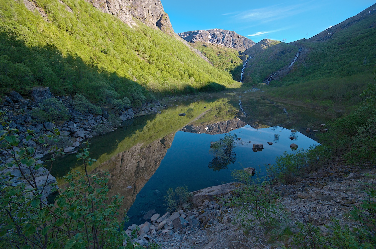
Sunrise Reflection
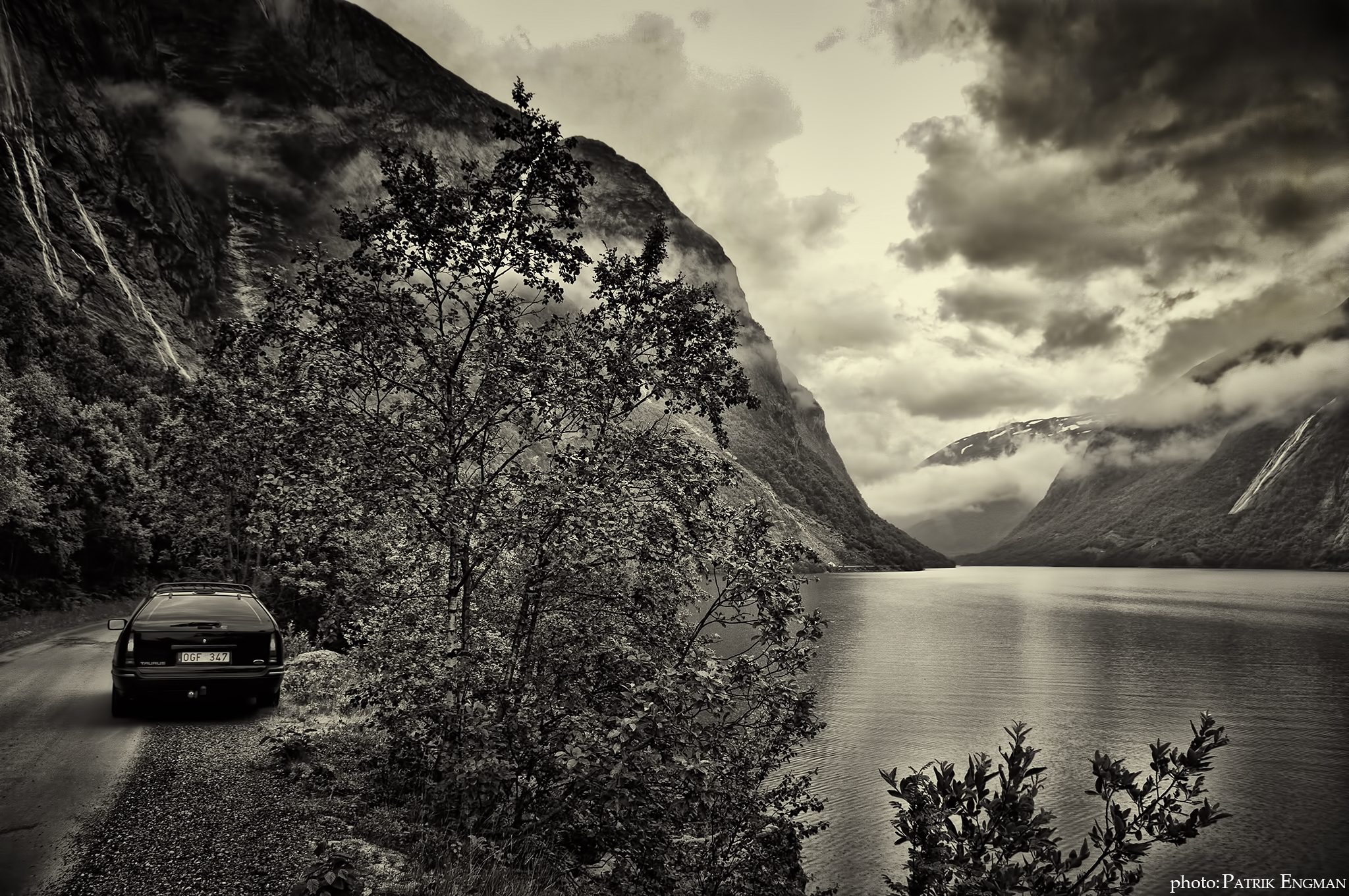
Norway B&W
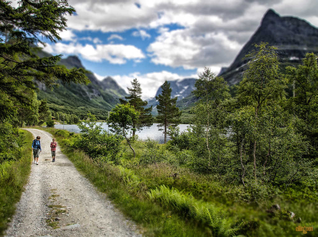
Road to Innerdalen
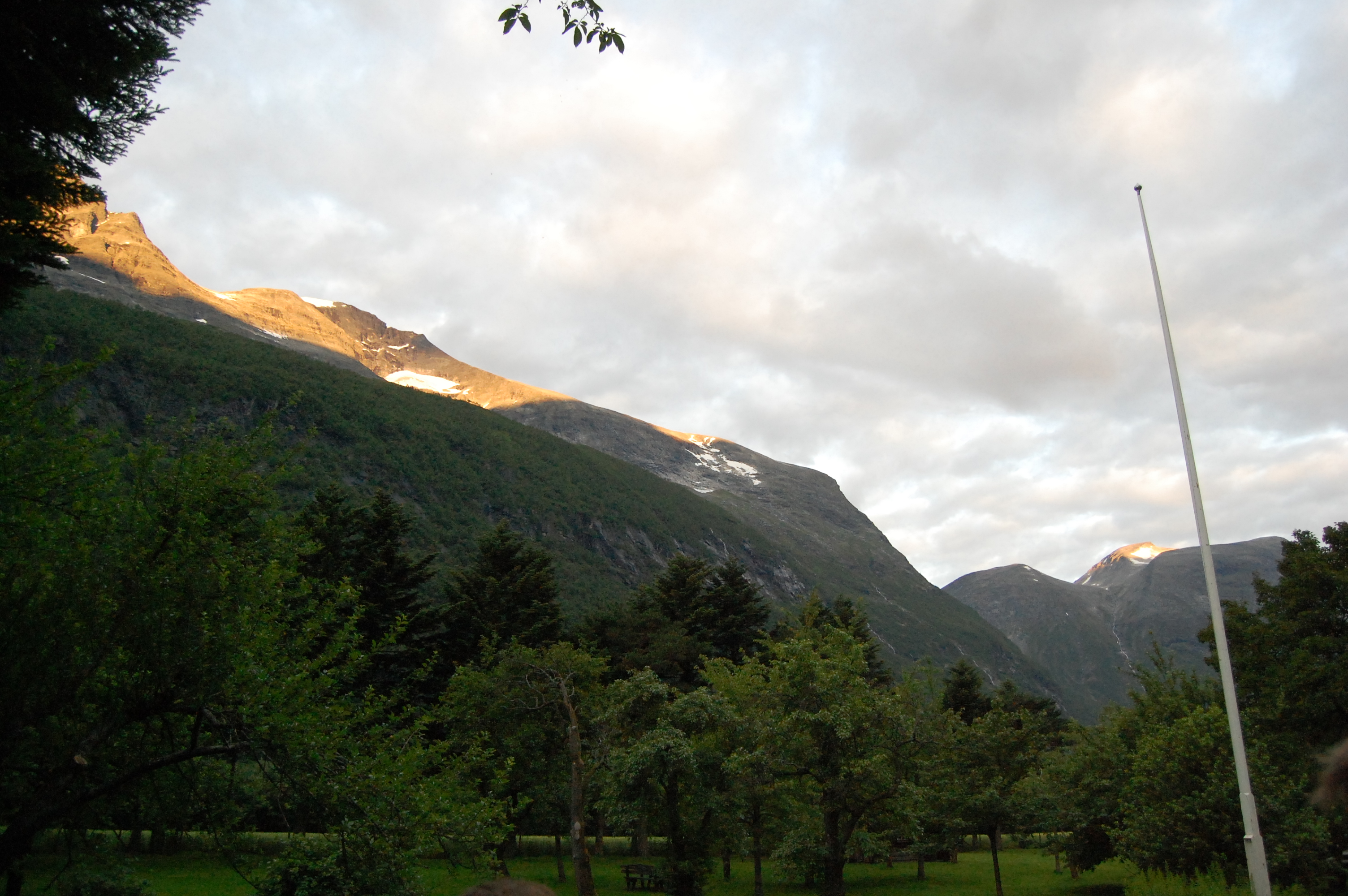
Autumn in Sunndal.
Fra / From Sunndalen #1
Renndølsetra

My Photo Stream-632

My Photo Stream-631

My Photo Stream-630
The Party
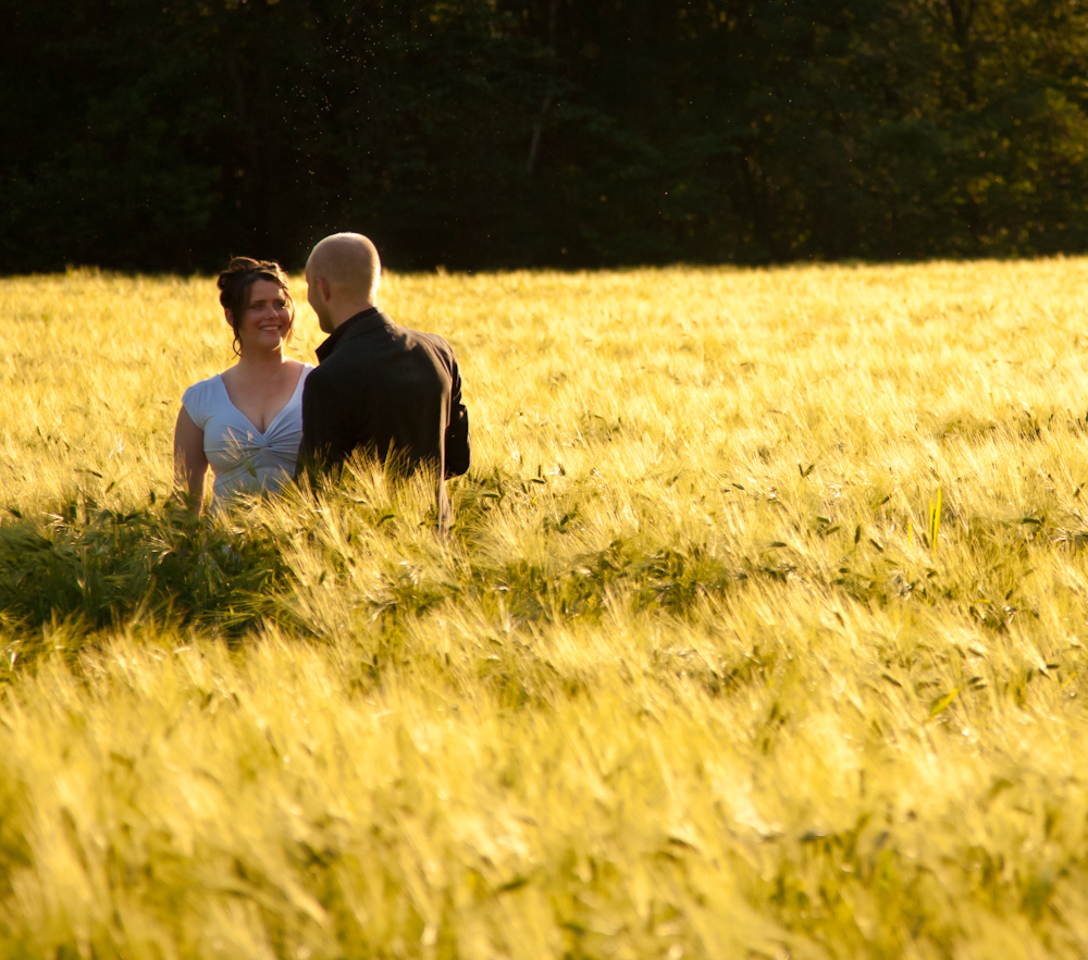
Just Married
The Convoy North
The Ceremony
Oppdølsstranda, Norway

My Photo Stream-670
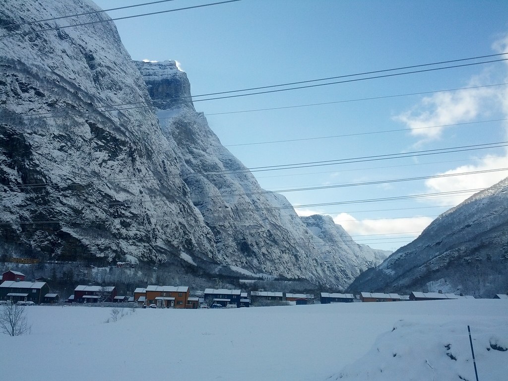
Sunndalsøra, Møre og Romsdal, Norway
The Party
Topographic Map of The Aursjøvegen, Sunndal, Norway
Find elevation by address:

Places near The Aursjøvegen, Sunndal, Norway:
Sunndalsøra
Ålvundeidet
Sunndal
Innerdalen
Aursjøen
Surnadal
Fv 10, Surnadal, Norway
Lesja
Trollheimen
Dovrefjell–sunndalsfjella National Park
Vinjeøra
E39, Vinjeøra, Norway
Hemne
Dombås
Fv 10, Dovre, Norway
Viewpoint Snøhetta
Oppdal, Norway
Hjerkinn
Oppdal Ski Center
Stenan 50
Recent Searches:
- Elevation of Unnamed Road, Respublika Severnaya Osetiya — Alaniya, Russia
- Elevation of Verkhny Fiagdon, North Ossetia–Alania Republic, Russia
- Elevation of F. Viola Hiway, San Rafael, Bulacan, Philippines
- Elevation of Herbage Dr, Gulfport, MS, USA
- Elevation of Lilac Cir, Haldimand, ON N3W 2G9, Canada
- Elevation of Harrod Branch Road, Harrod Branch Rd, Kentucky, USA
- Elevation of Wyndham Grand Barbados Sam Lords Castle All Inclusive Resort, End of Belair Road, Long Bay, Bridgetown Barbados
- Elevation of Iga Trl, Maggie Valley, NC, USA
- Elevation of N Co Rd 31D, Loveland, CO, USA
- Elevation of Lindever Ln, Palmetto, FL, USA