Elevation of Thathe Vondo Dam View Point, Thohoyandou, South Africa
Location: South Africa > Limpopo > Far North >
Longitude: 30.3351362
Latitude: -22.920065
Elevation: 1229m / 4032feet
Barometric Pressure: 87KPa
Elevation Map:
Satellite Map:
Related Photos:

Pink-throated Twinspot

Not one, not two, but four
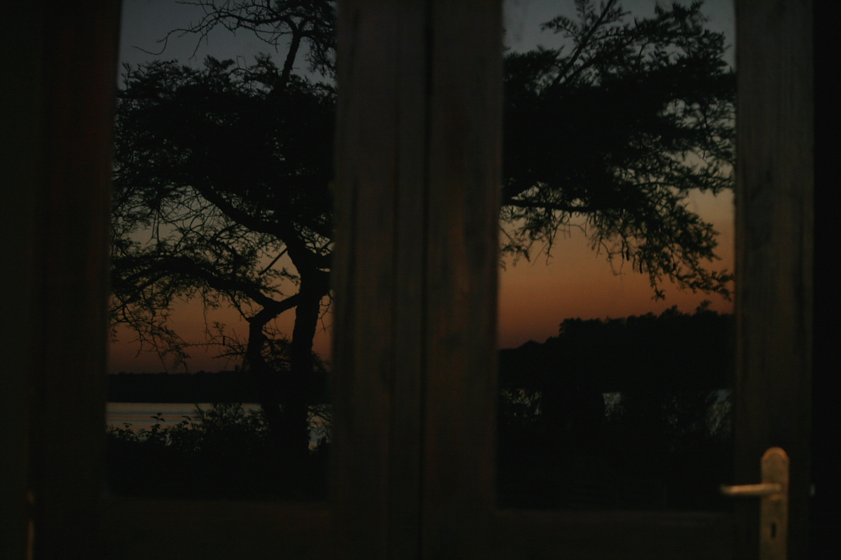
guten morgen Afrika!
Topographic Map of Thathe Vondo Dam View Point, Thohoyandou, South Africa
Find elevation by address:

Places near Thathe Vondo Dam View Point, Thohoyandou, South Africa:
Lake Fundudzi
Thohoyandou
Mbhokota
Far North
Makhado Local Municipality
Wimpy
Mopani
Muila
Soutpansberg
Maphophe
Tzaneen
Recent Searches:
- Elevation of Estates Loop, Priest River, ID, USA
- Elevation of Woodland Oak Pl, Thousand Oaks, CA, USA
- Elevation of Brownsdale Rd, Renfrew, PA, USA
- Elevation of Corcoran Ln, Suffolk, VA, USA
- Elevation of Mamala II, Sariaya, Quezon, Philippines
- Elevation of Sarangdanda, Nepal
- Elevation of 7 Waterfall Way, Tomball, TX, USA
- Elevation of SW 57th Ave, Portland, OR, USA
- Elevation of Crocker Dr, Vacaville, CA, USA
- Elevation of Pu Ngaol Community Meeting Hall, HWHM+3X7, Krong Saen Monourom, Cambodia