Elevation of Thakurdwara, Uttar Pradesh, India
Location: India > Uttar Pradesh > Moradabad >
Longitude: 78.8607099
Latitude: 29.1911483
Elevation: 229m / 751feet
Barometric Pressure: 99KPa
Elevation Map:
Satellite Map:
Related Photos:
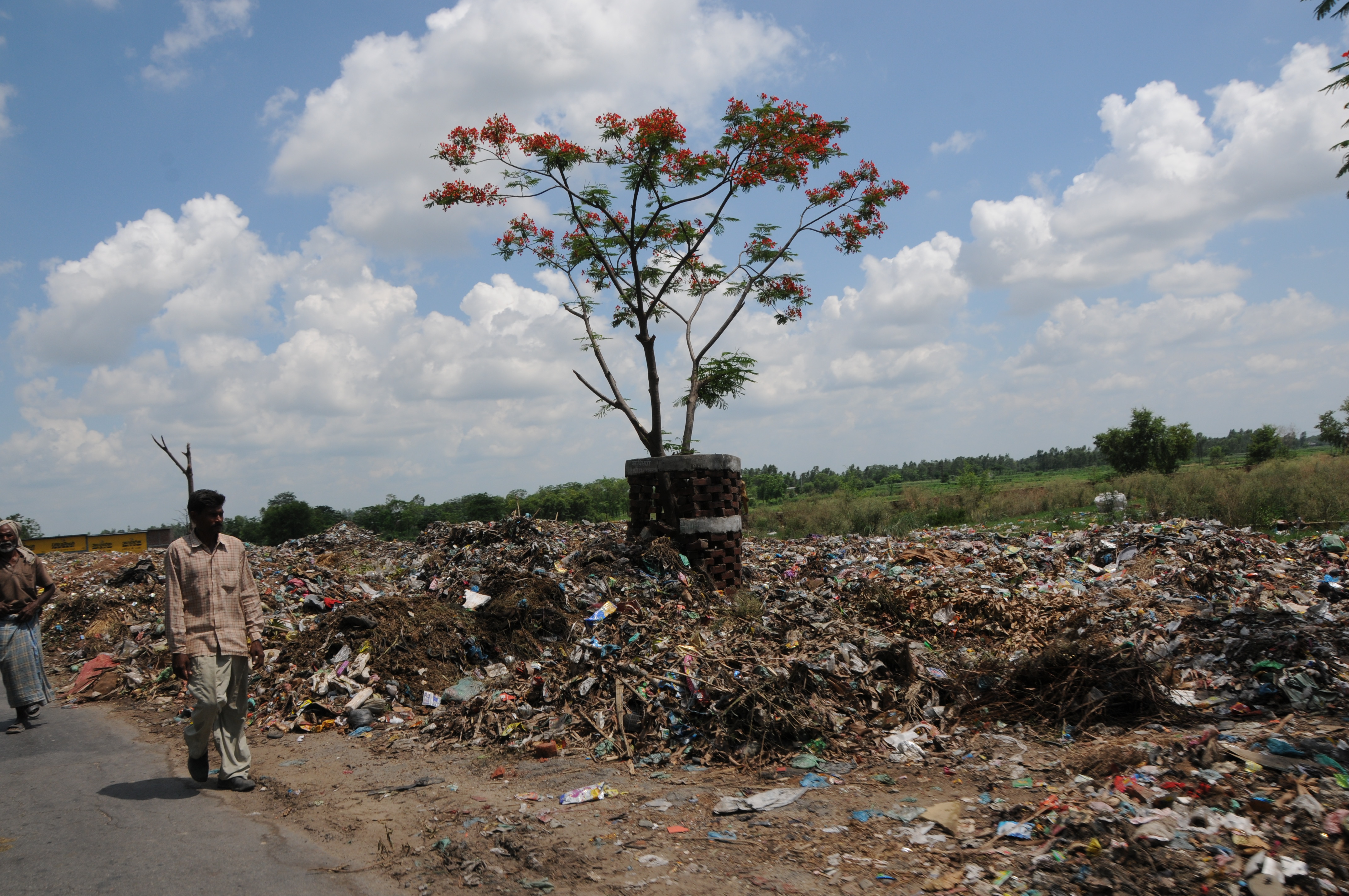
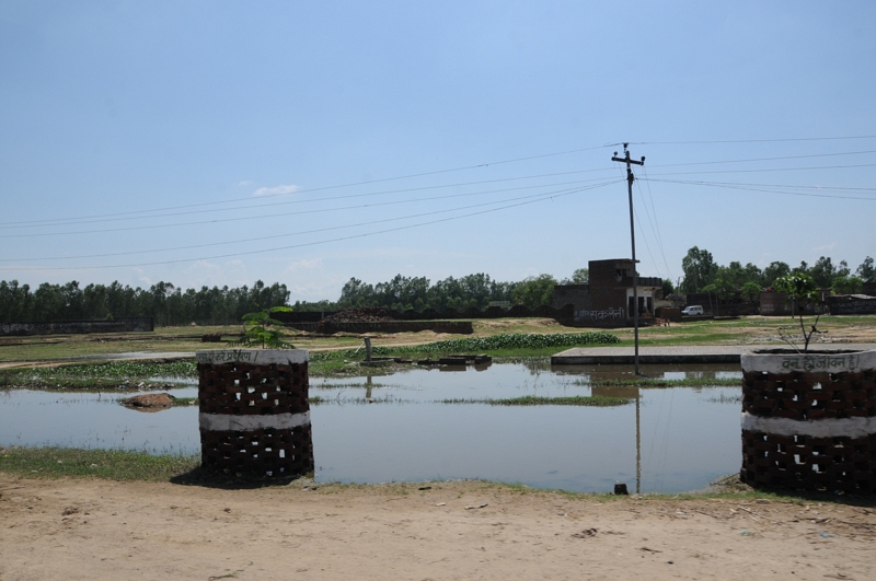
CSP_3132.JPG
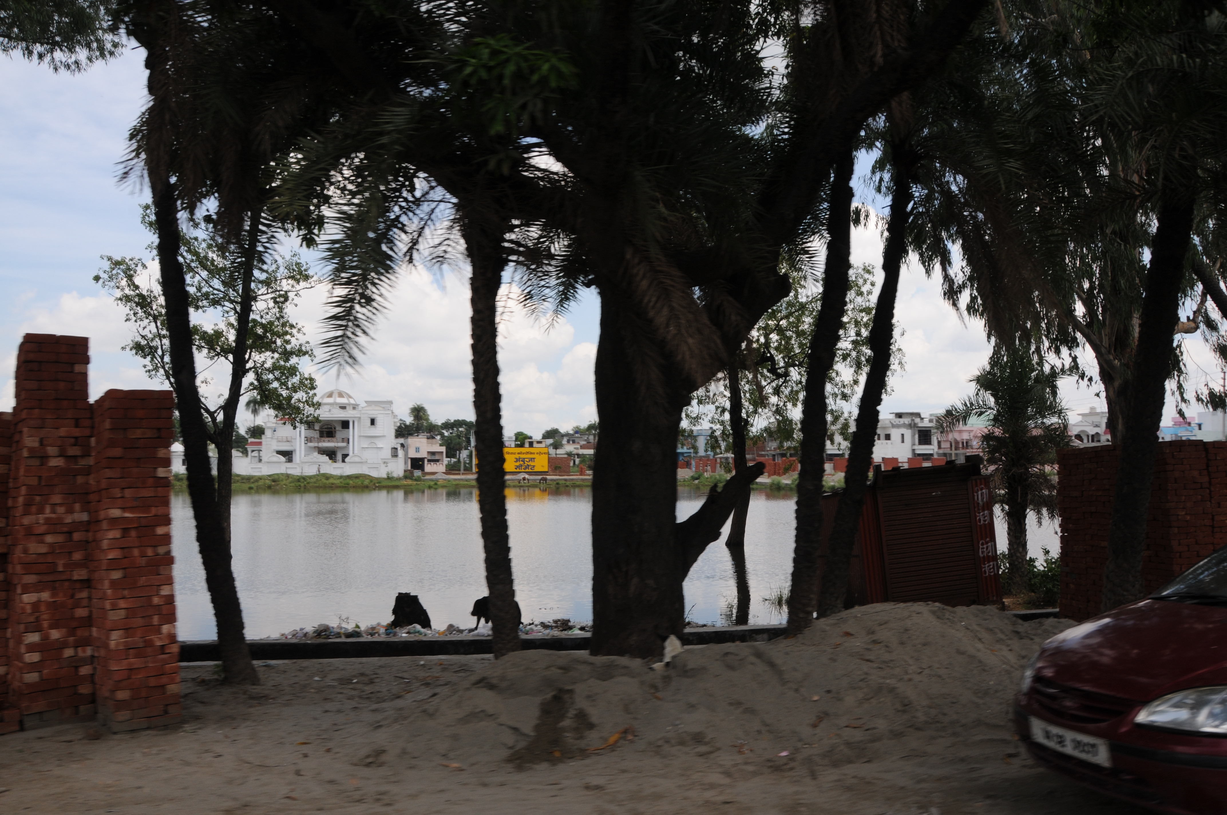
CSP_3129.JPG
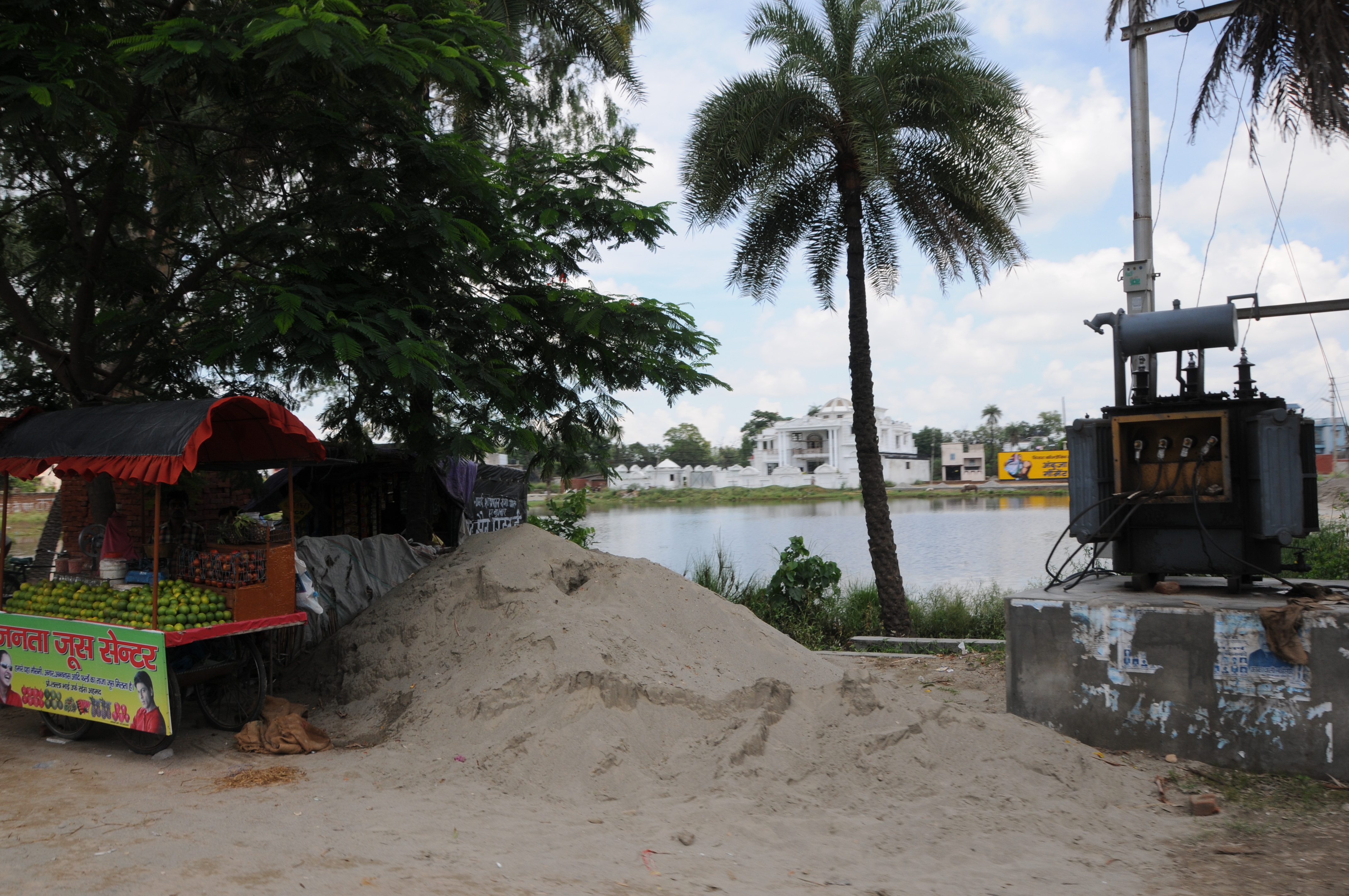
Jatpura, Uttar Pradesh
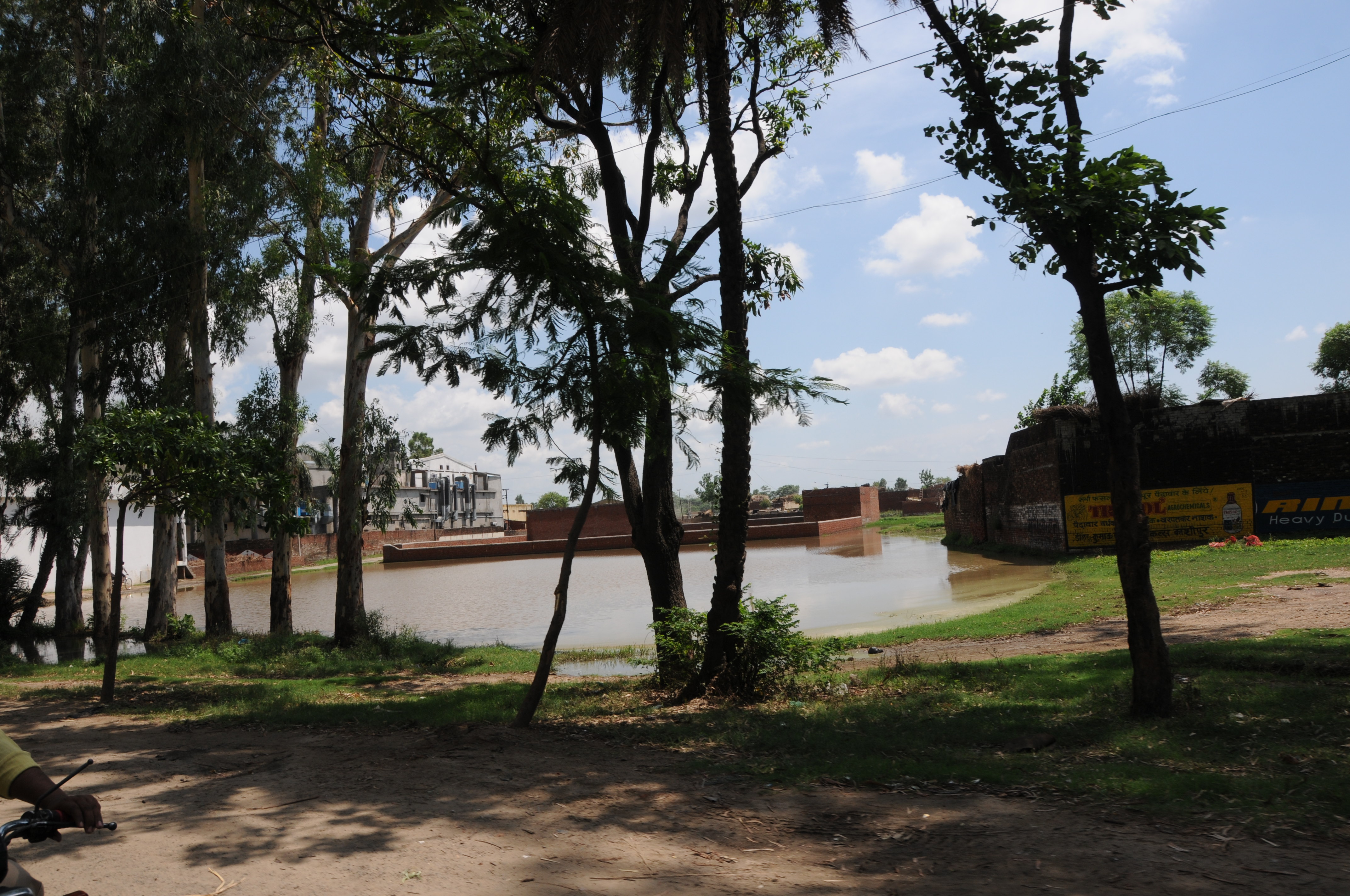
CSP_3133.JPG

CSP_3135.JPG
CSP_3130.JPG
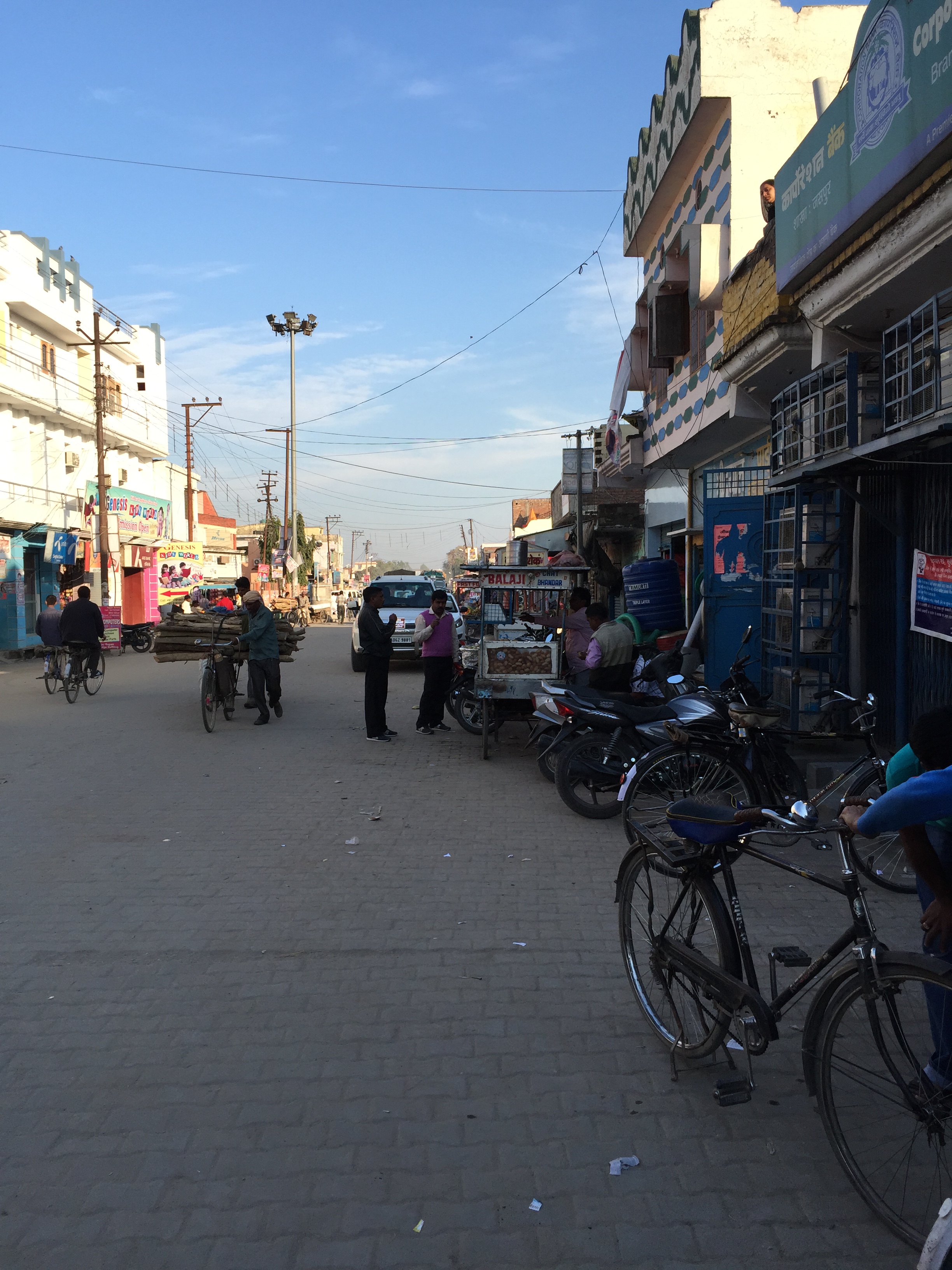
main street of Jaspur
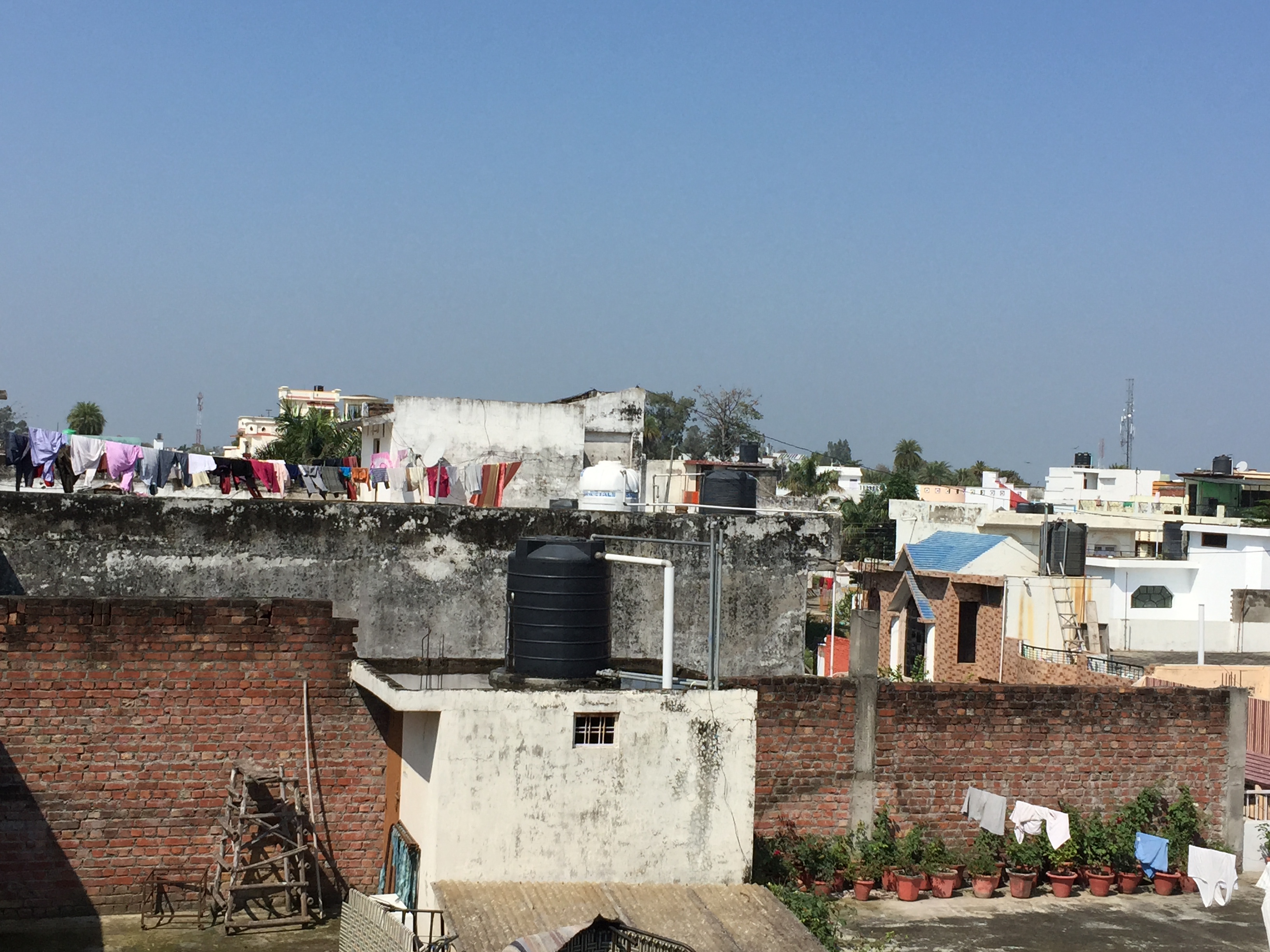
View from top of roof

A Beautiful view from the hotel, Nature at it's best. #nanital #ranikhet #uttrakhand #trip #tourist #traveling #traveldiaries #hills #mountains #lake #himalayas #indiapictures #_oye #_soi #incredibleindia #nature #naturelovers #naturephotography #scenery
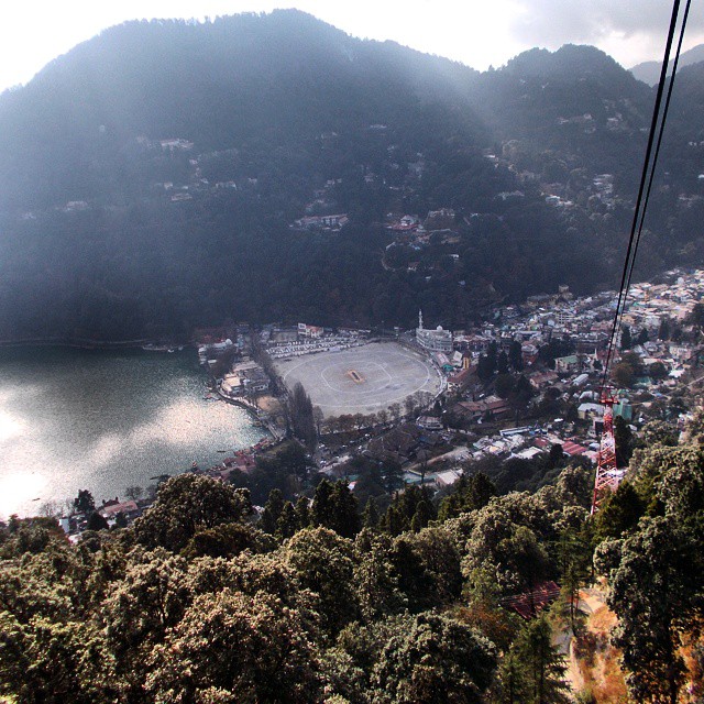
Top to bottom view of Nani lake. Throwback Nanital 2013 #nanital #uttrakhand #traveling #tourist #india #incredibleindia #indiapictures #lake #mountains #hills #nature #naturephotography #naturelovers #nature_perfection #traveldiaries #wanderlust #sunshin
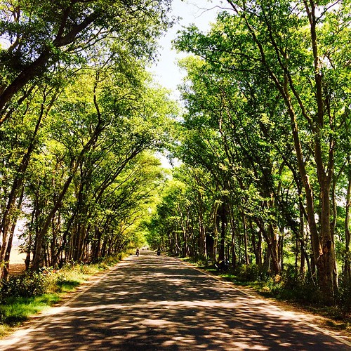
#Green start to the #weekend. #roadtrip #travel #uttrakhand #JimCorbett #india #kashipur
Topographic Map of Thakurdwara, Uttar Pradesh, India
Find elevation by address:

Places near Thakurdwara, Uttar Pradesh, India:
Ramnagar
Moradabad
Oyo 15756 Kyari Corbett
Hitesh Copy House
Kiari Kham
Nadiya Parao Resort
Dhikuli
Rampur
Rampur
Chilkiya Range
Gularbhoj
Kaladhungi
Kundarki
Bilari
Bohra Gaon
Rudrapur
Devidhura
Naina Range
Nainital
Naini Peak
Recent Searches:
- Elevation of Elwyn Dr, Roanoke Rapids, NC, USA
- Elevation of Congressional Dr, Stevensville, MD, USA
- Elevation of Bellview Rd, McLean, VA, USA
- Elevation of Stage Island Rd, Chatham, MA, USA
- Elevation of Shibuya Scramble Crossing, 21 Udagawacho, Shibuya City, Tokyo -, Japan
- Elevation of Jadagoniai, Kaunas District Municipality, Lithuania
- Elevation of Pagonija rock, Kranto 7-oji g. 8"N, Kaunas, Lithuania
- Elevation of Co Rd 87, Jamestown, CO, USA
- Elevation of Tenjo, Cundinamarca, Colombia
- Elevation of Côte-des-Neiges, Montreal, QC H4A 3J6, Canada