Elevation of th St W, Taylor Ridge, IL, USA
Location: United States > Illinois > Rock Island County > Edgington Township > Taylor Ridge >
Longitude: -90.763375
Latitude: 41.386629
Elevation: 238m / 781feet
Barometric Pressure: 98KPa
Elevation Map:
Satellite Map:
Related Photos:
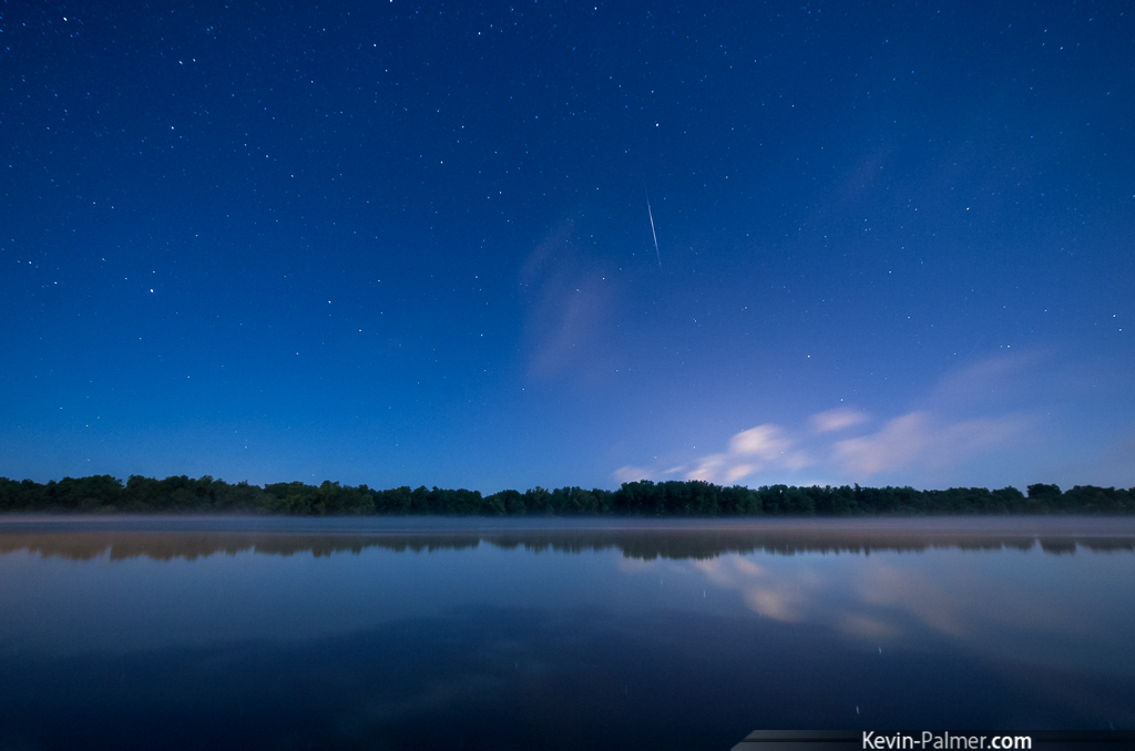
Aurora No-Show
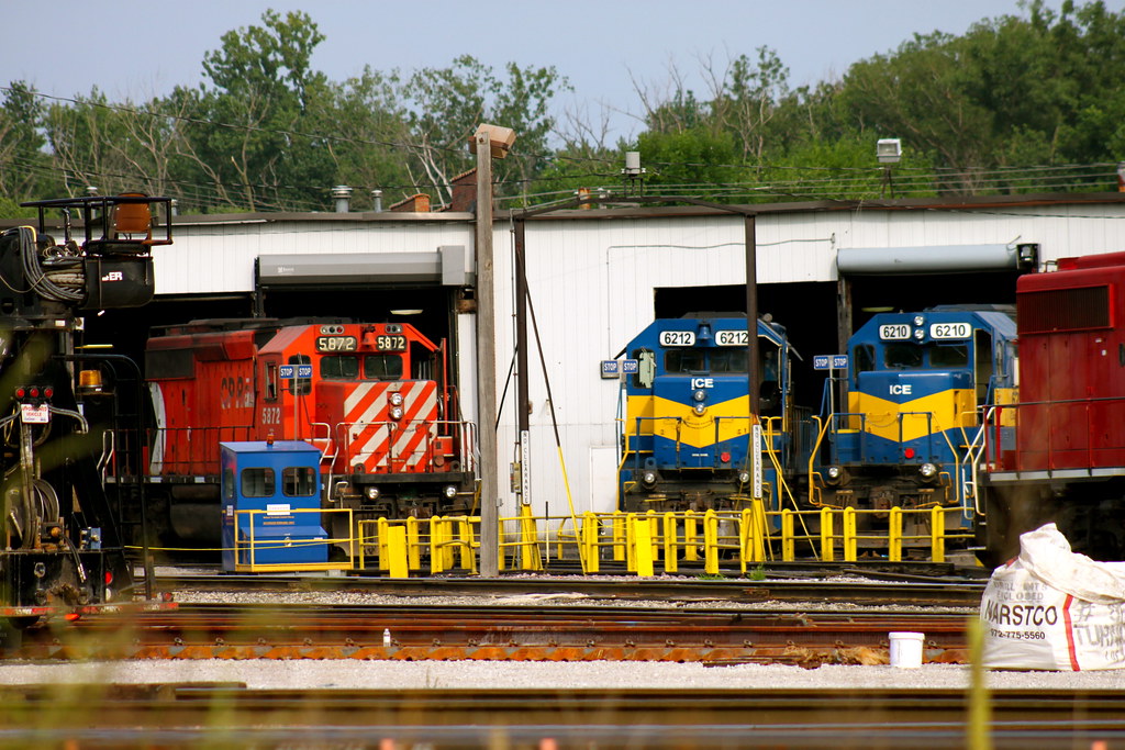
ICE and Pac Man

MP15DC Duo

Franklin's Gull
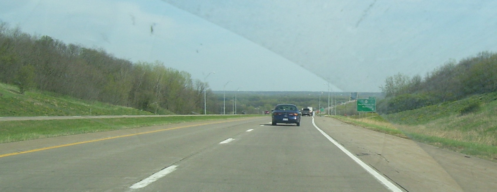
Valley Approach

American Wigeon

A diferent view.
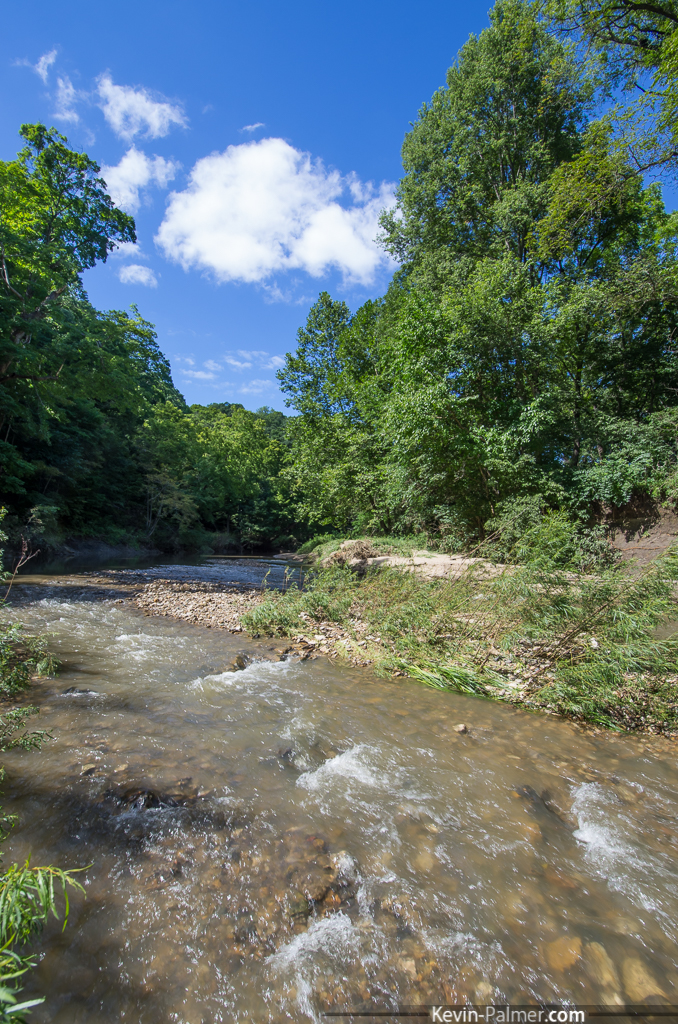
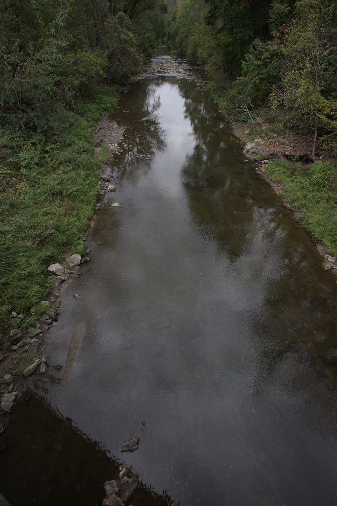
Pine Creek

St. Mary Monastery | Rock Island, IL | John Van Dyke - SSV
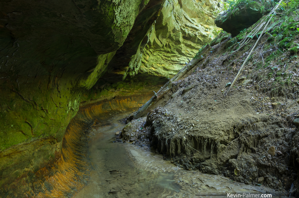
Iowa's Subway

Series IV-25B

IMG_12367.JPG
IMG_12385.JPG
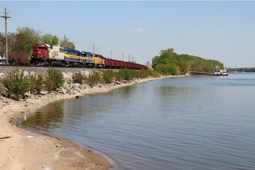
The Hunt For SOO 2
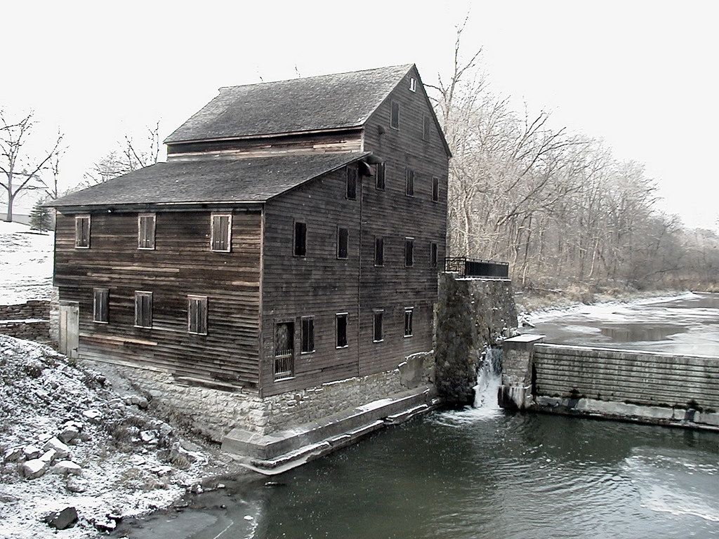
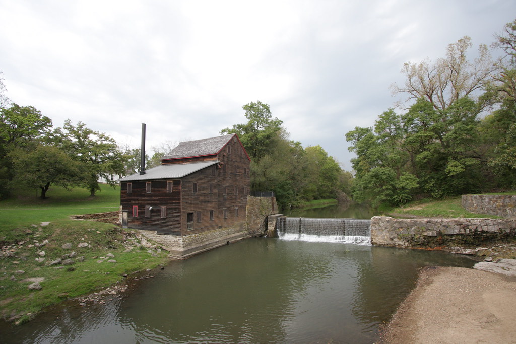
Pine Creek Mill, 1850, Muscatine, Iowa
Series IV-25B
IMG_12368.JPG
IMG_12384.JPG
IMG_12386.JPG
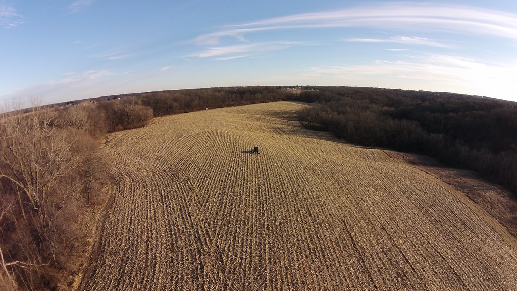
The back eighty
IMG_12417.JPG

Potatohead Travels
Nahant Marsh

IMG_12366.JPG
IMG_12398.JPG

Day 14: Evening at Black Walnut Camp

Cross-Country Road Trip
Topographic Map of th St W, Taylor Ridge, IL, USA
Find elevation by address:

Places near th St W, Taylor Ridge, IL, USA:
Edgington Township
Andalusia Township
Andalusia
6th Ave E, Andalusia, IL, USA
2nd St, Buffalo, IA, USA
123 Main St
Buffalo
Zachary Ave, Montpelier, IA, USA
Montpelier
Buffalo Prairie Township
11510 61st Ave
11700 61st Ave Pl
Midway Beach Rd, Muscatine, IA, USA
th St W, Joy, IL, USA
rd Ave W, Illinois City, IL, USA
Illinois City
IA-22, Muscatine, IA, USA
New Era Rd, Muscatine, IA, USA
Muscatine, IA, USA
Sweetland
Recent Searches:
- Elevation of Elwyn Dr, Roanoke Rapids, NC, USA
- Elevation of Congressional Dr, Stevensville, MD, USA
- Elevation of Bellview Rd, McLean, VA, USA
- Elevation of Stage Island Rd, Chatham, MA, USA
- Elevation of Shibuya Scramble Crossing, 21 Udagawacho, Shibuya City, Tokyo -, Japan
- Elevation of Jadagoniai, Kaunas District Municipality, Lithuania
- Elevation of Pagonija rock, Kranto 7-oji g. 8"N, Kaunas, Lithuania
- Elevation of Co Rd 87, Jamestown, CO, USA
- Elevation of Tenjo, Cundinamarca, Colombia
- Elevation of Côte-des-Neiges, Montreal, QC H4A 3J6, Canada