Elevation of th St SW, Pillager, MN, USA
Location: United States > Minnesota > Cass County > May Township >
Longitude: -94.578026
Latitude: 46.3855689
Elevation: 395m / 1296feet
Barometric Pressure: 97KPa
Elevation Map:
Satellite Map:
Related Photos:

Sunset with Boat on Lake Shamineau

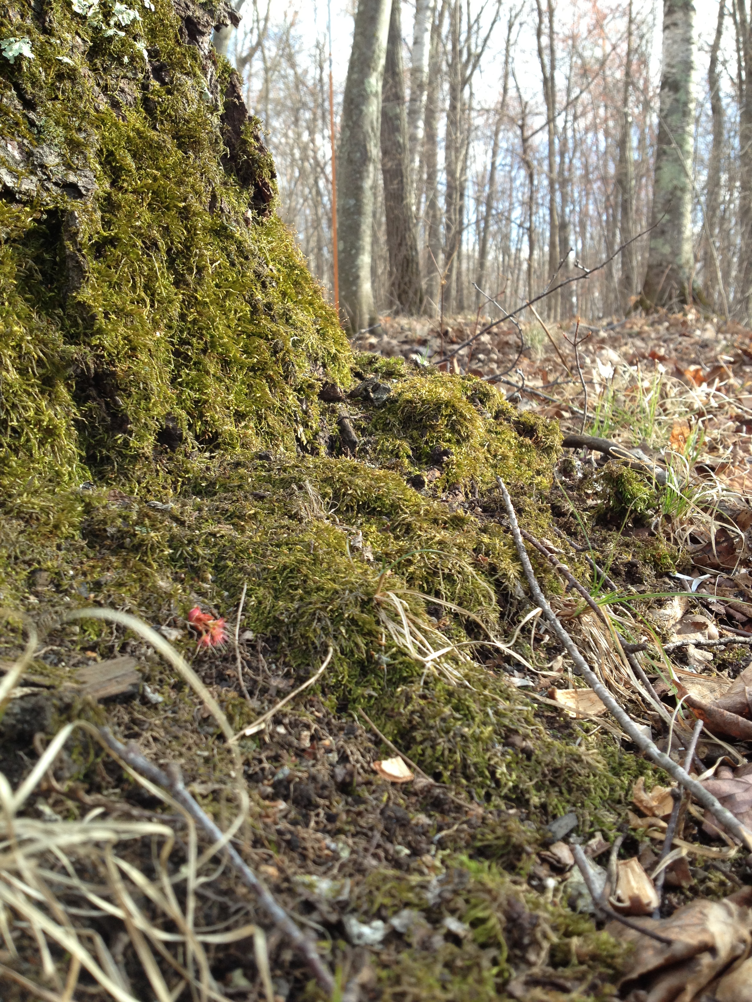
Disappointing view

Morning View

Autumn Drive

Sweet Dreams Are Coming

Purple Finch
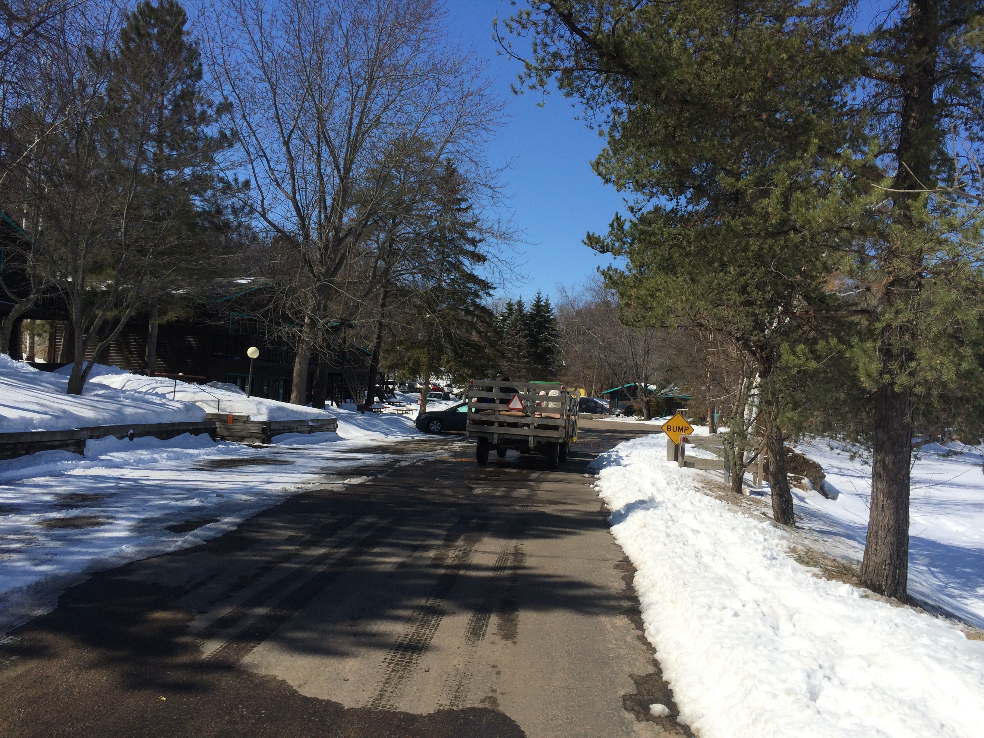
Cragun's Trip

Blue Hour with the RX10

Sony RX10 Low Light

Steamboat Bay, Gull Lake

Sony RX10

Leader, MN 2
Leader, MN 13
Topographic Map of th St SW, Pillager, MN, USA
Find elevation by address:

Places near th St SW, Pillager, MN, USA:
May Township
91 Beaulieu St E, Motley, MN, USA
Stanchfield Lake
Birch St, Pillager, MN, USA
Shamineau Lake
33297 Bugle Rd
Scandia Valley Township
30851 Fishtrap Lake Dr
11657 Fairway Rd Sw
County 7
Staples
Cushing
State Hwy, Brainerd, MN, USA
Highland Scenic Rd, Baxter, MN, USA
50th Ave, Brainerd, MN, USA
Baxter
14468 Inglewood Dr N
17540 Johnson Rd N
22202 124th St
6095 Wetherbee Rd
Recent Searches:
- Elevation of Falling Spring Rd, Clyde, NC, USA
- Elevation of Kingsfield St, Castle Rock, CO, USA
- Elevation of AMELIA CT HSE, VA, USA
- Elevation of Abbey Dr, Virginia Beach, VA, USA
- Elevation of Brooks Lp, Spearfish, SD, USA
- Elevation of Panther Dr, Maggie Valley, NC, USA
- Elevation of Jais St - Wadi Shehah - Ras al Khaimah - United Arab Emirates
- Elevation of Shawnee Avenue, Shawnee Ave, Easton, PA, USA
- Elevation of Scenic Shore Dr, Kingwood Area, TX, USA
- Elevation of W Prive Cir, Delray Beach, FL, USA