Elevation of th St, Russell, IA, USA
Location: United States > Iowa > Lucas County > Pleasant >
Longitude: -93.173058
Latitude: 41.0812529
Elevation: 260m / 853feet
Barometric Pressure: 98KPa
Elevation Map:
Satellite Map:
Related Photos:
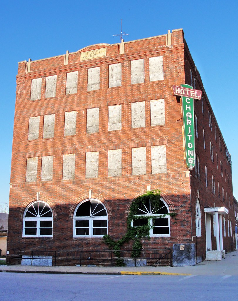
Hotel Charitone
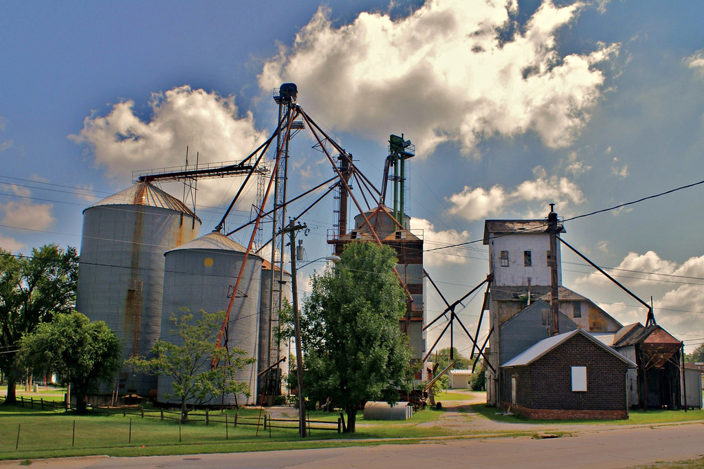
Farmer's Cooperative - 2
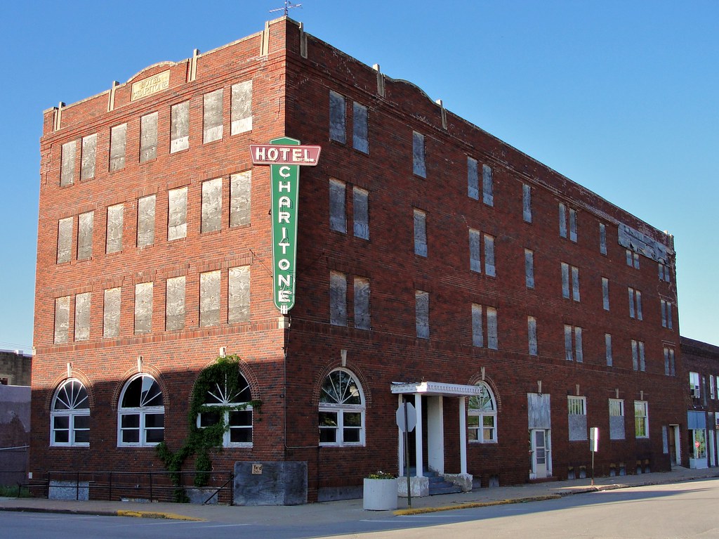
Hotel Charitone

.

Hay there!

All lined up

Round things

2016:08:28 17:47:54 Flickr-034

Travel buddy in Orlando
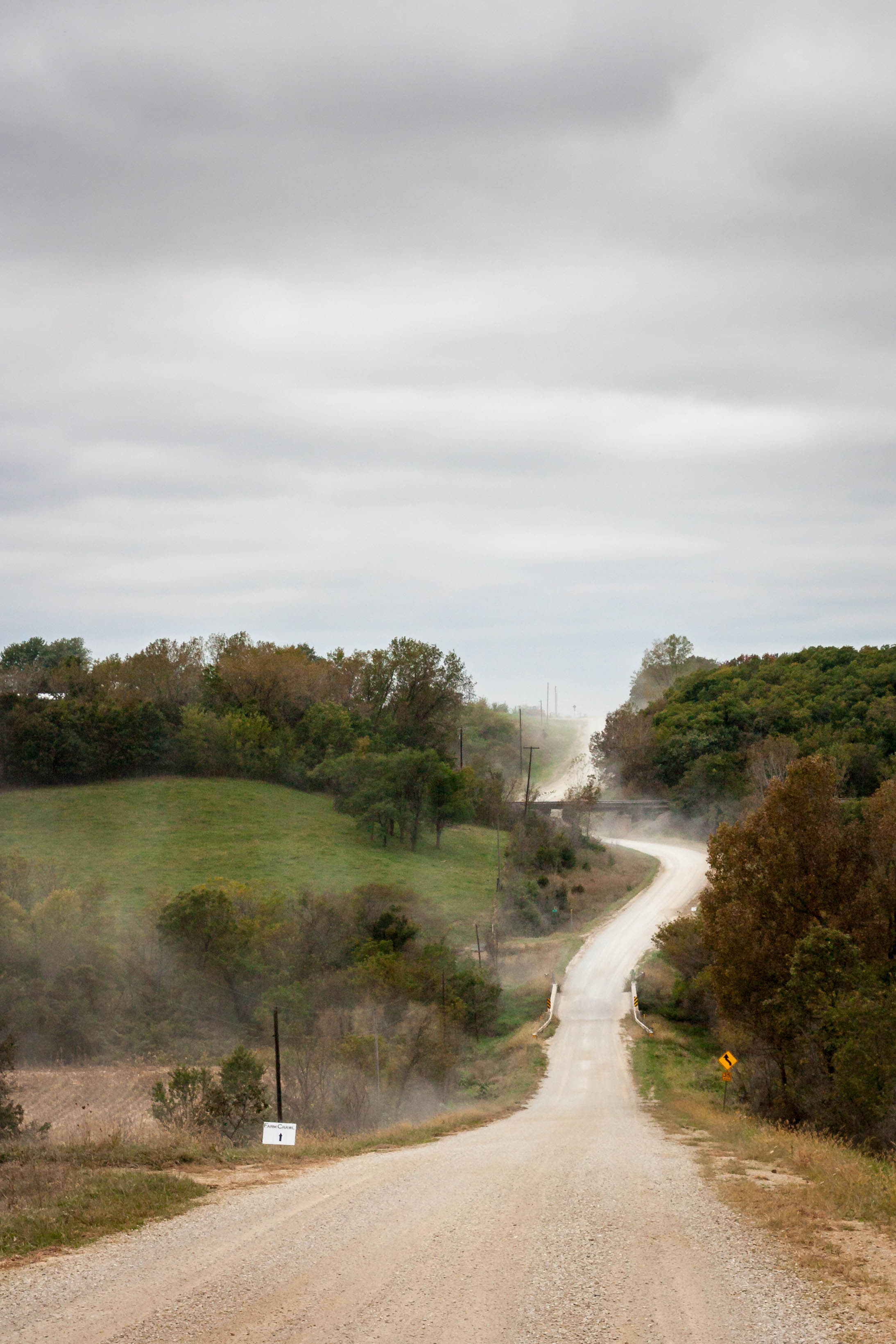
Iowa gravel road

Some where's in Iowa

2014 Farm Crawl

2014 Farm Crawl

Fixer Upper

.

.

.
RI038165.JPG
RI038162.JPG

RI038163.JPG
RI038164.JPG
RI038161.JPG
RI038160.JPG
RI038159.JPG

RI038158.JPG
Topographic Map of th St, Russell, IA, USA
Find elevation by address:

Places near th St, Russell, IA, USA:
53208 310th Ave
53208 310th Ave
Pleasant
IA-14, Chariton, IA, USA
Wyoming St, Chariton, IA, USA
24550 Us-34
7-29a
Chariton
Melcher-dallas
Melcher-dallas
Melcher-dallas
Melcher-dallas
Melcher-dallas
Melcher-dallas
Melcher-dallas
Melcher-dallas
Melcher-dallas
Melcher-dallas
Melcher-dallas
Melcher-dallas
Recent Searches:
- Elevation of Elwyn Dr, Roanoke Rapids, NC, USA
- Elevation of Congressional Dr, Stevensville, MD, USA
- Elevation of Bellview Rd, McLean, VA, USA
- Elevation of Stage Island Rd, Chatham, MA, USA
- Elevation of Shibuya Scramble Crossing, 21 Udagawacho, Shibuya City, Tokyo -, Japan
- Elevation of Jadagoniai, Kaunas District Municipality, Lithuania
- Elevation of Pagonija rock, Kranto 7-oji g. 8"N, Kaunas, Lithuania
- Elevation of Co Rd 87, Jamestown, CO, USA
- Elevation of Tenjo, Cundinamarca, Colombia
- Elevation of Côte-des-Neiges, Montreal, QC H4A 3J6, Canada