Elevation of th St NW, Stanwood, WA, USA
Location: United States > Washington > Snohomish County > Stanwood >
Longitude: -122.26808
Latitude: 48.189107
Elevation: 82m / 269feet
Barometric Pressure: 100KPa
Elevation Map:
Satellite Map:
Related Photos:
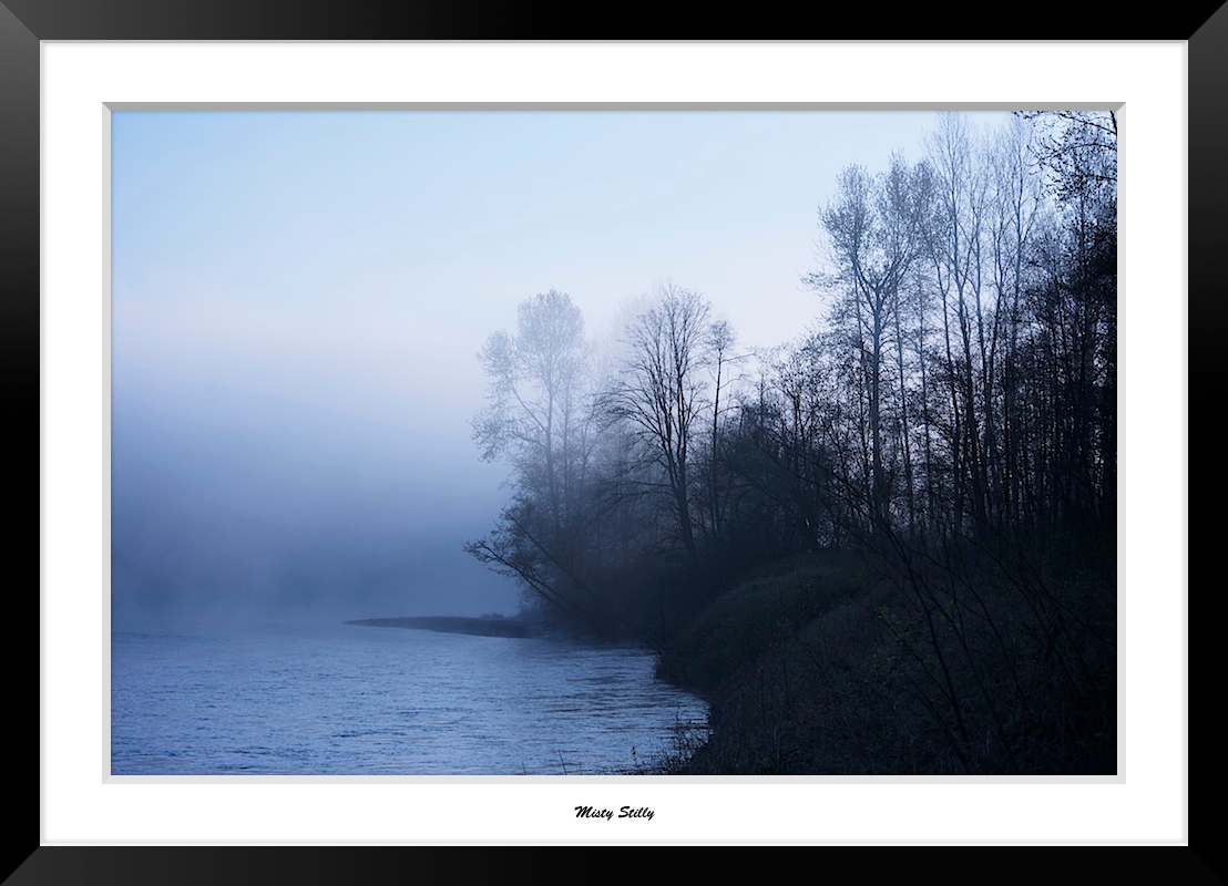
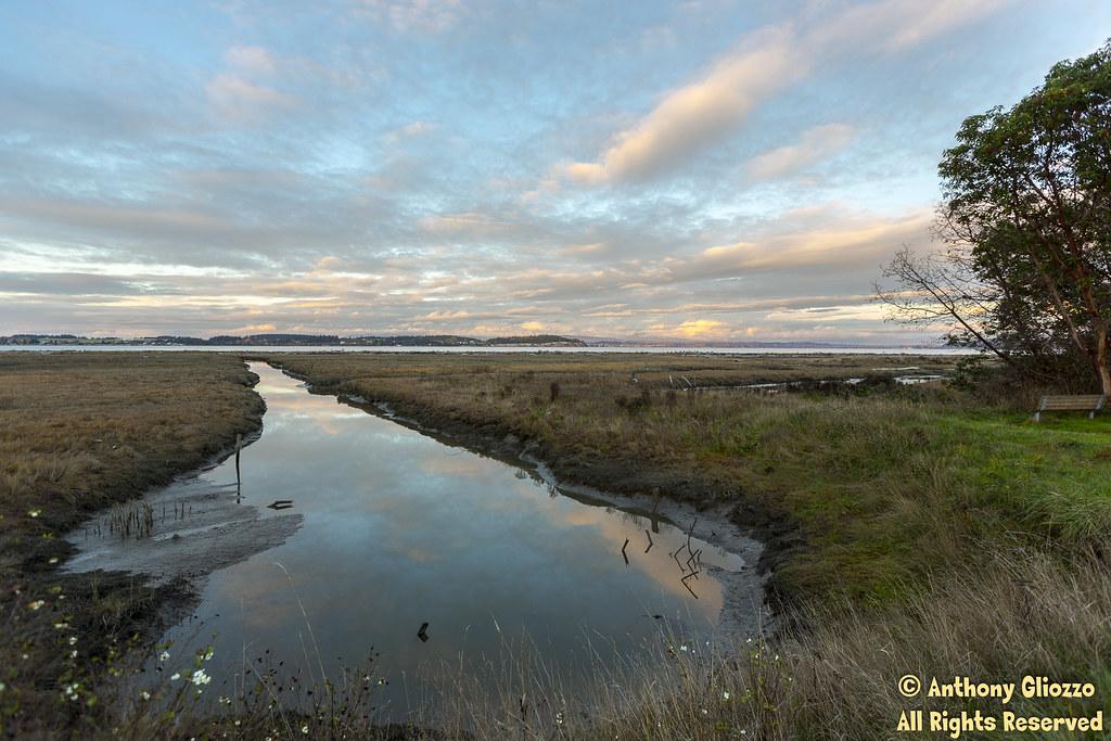
Misty Stilly
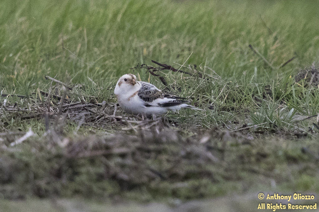
Snow Bunting (5167)

Exploring the Trails Around Baker Lake

Vesper Sparrow (3210) (eBird Rarity)

Dog's Eye View.
LV1293DSC00676.JPG
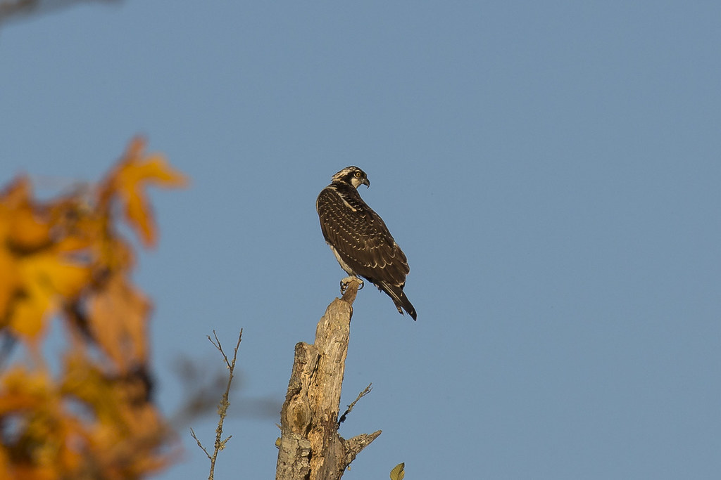
Osprey (3793) (eBird Rarity)
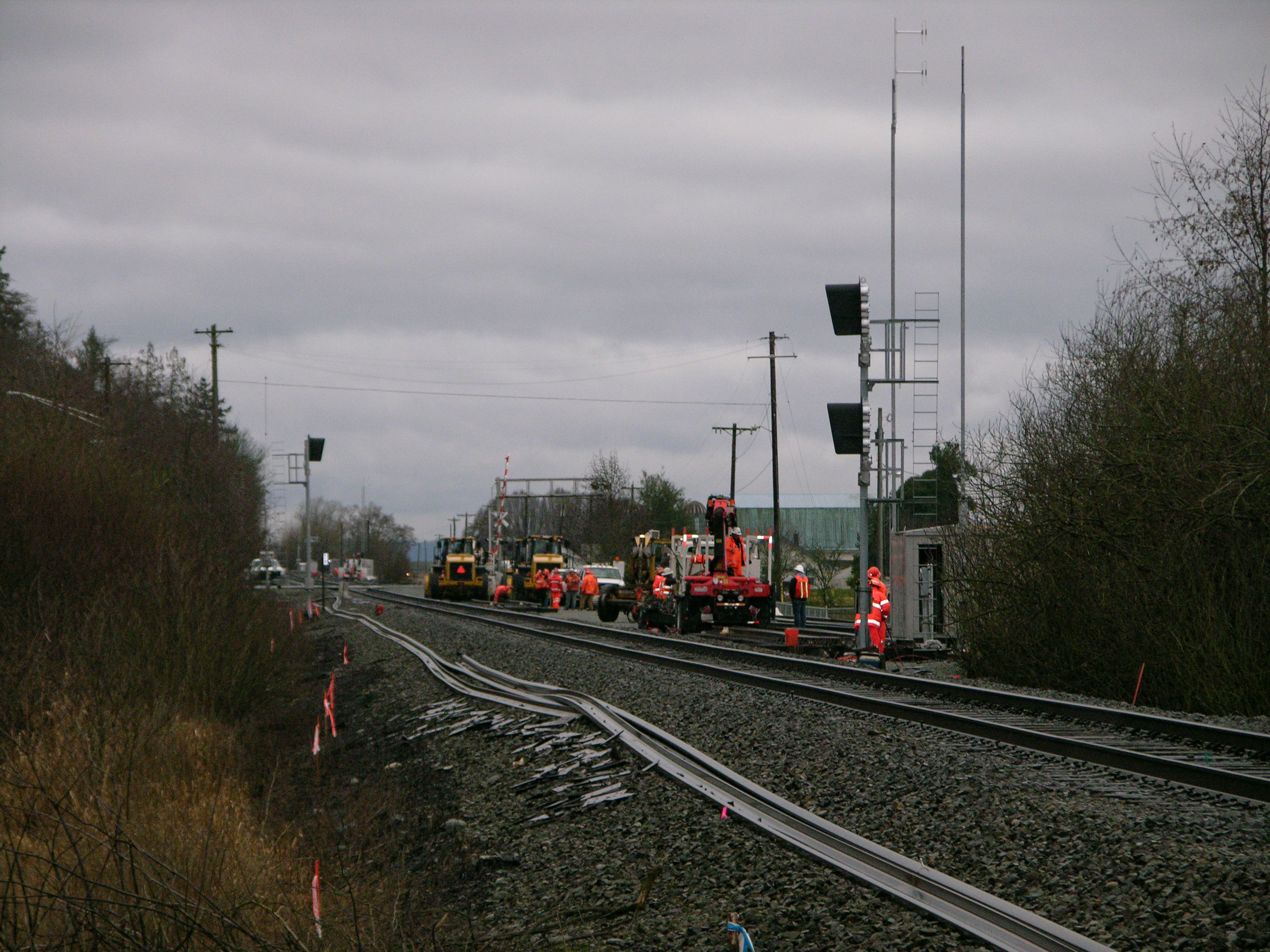
BNSF MOW-

Sunset through the trees
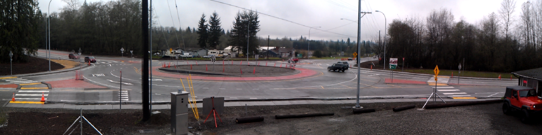
Panoramic view of new SR 9 roundabout in Arlington

Morning Time
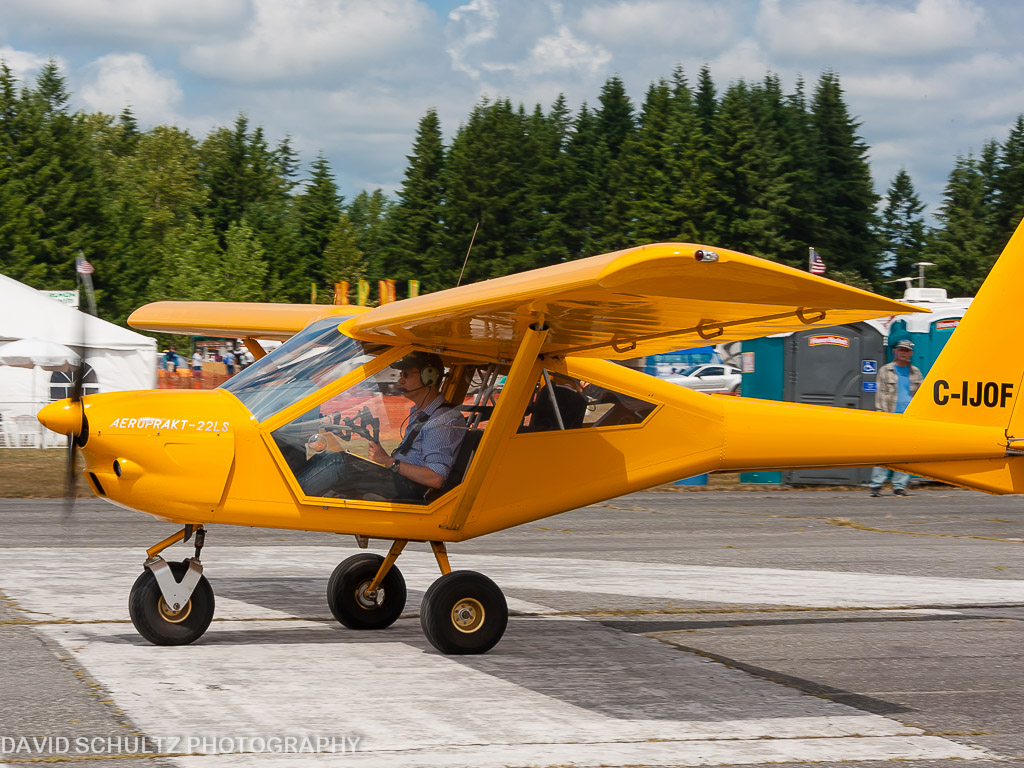
2011 KGA Foxbat A22 C-IJOF
DSC06272.JPG
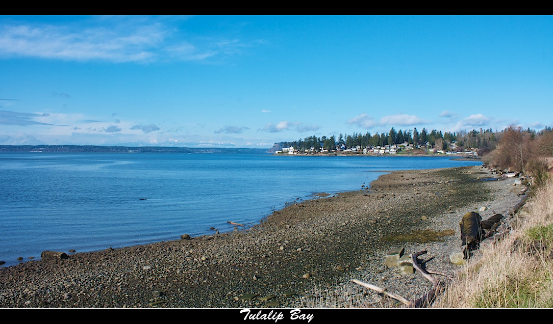
Tulalip Bay
LV1290DSC00673.JPG
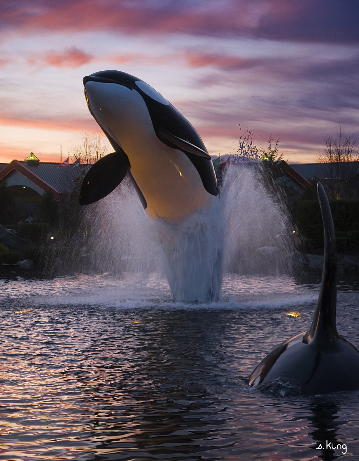
Tulalip Whale

Sunset in Arlington
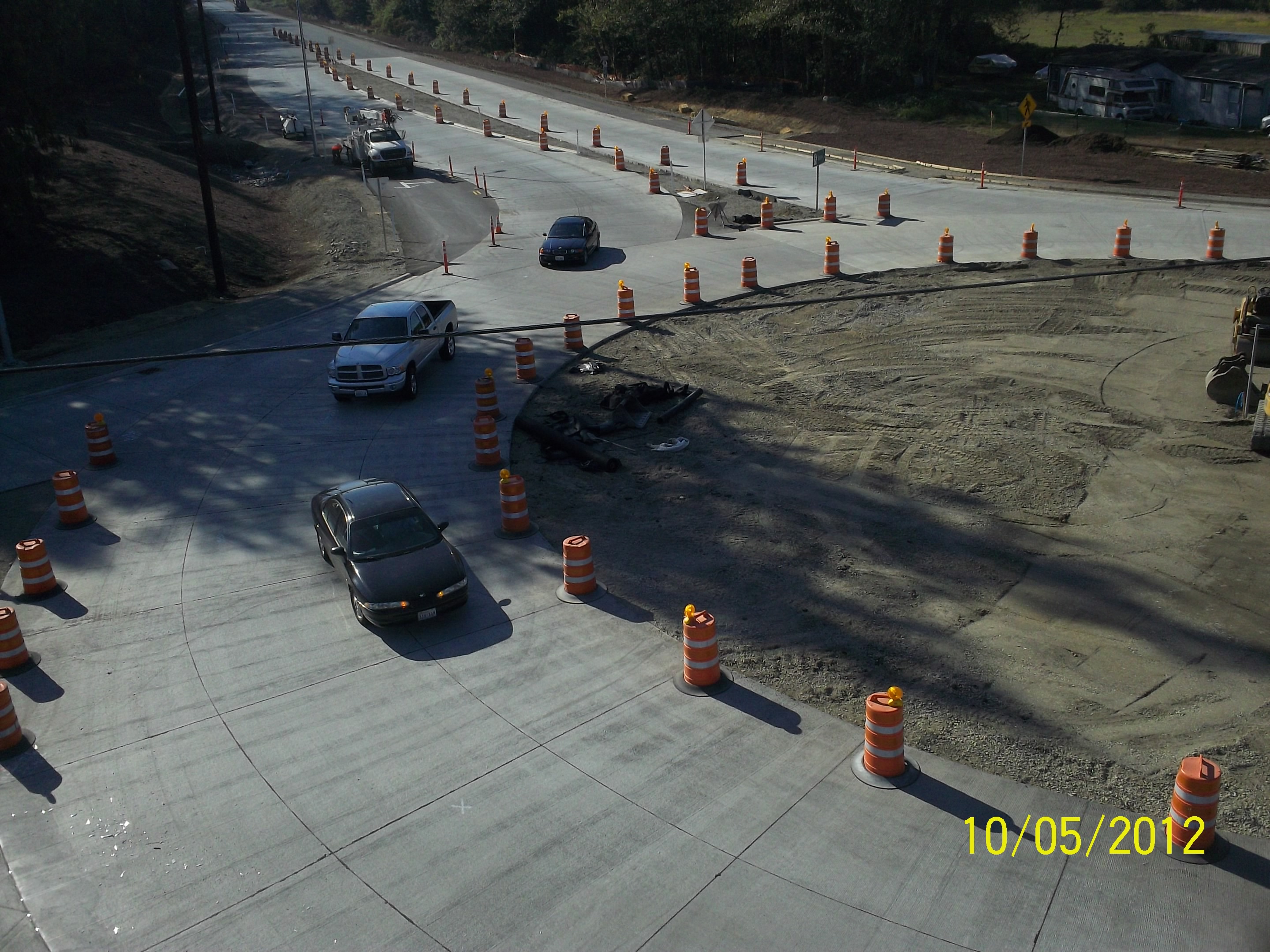
Aerial view: Traffic drives through new SR 9 roundabout

Aerial view: Roundabout open but construction continues
LV0148DSC09823.JPG
LV1291DSC00674.JPG

Good Morning, Mountain

Shells on the Shore
There's a storm a brewin'

#camanoisland #beachhouse #juniperbeach #driftwood #samsungnote4
Quilceda Creek at high tide

Under the pier, Kayak Point, WA

Arlington field in the morning
Iverson Point-Camano Island Iverson Point-Camano Island (8519)
Iverson Point-Camano Island (8521)
misty walk
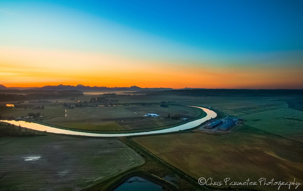
Stillaguamish Valley Sunrise

Calm Stilly

Eide Road 2-8-2015-2828

Sunset at Kayak

Nakashima Barn Star Trail

Slow Sunset
winter wonderland

Cold but sunny!!

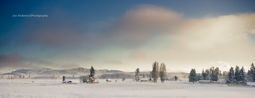
Farmland & Mountains
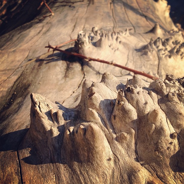
Amazing natural wood formations / texture
Topographic Map of th St NW, Stanwood, WA, USA
Find elevation by address:

Places near th St NW, Stanwood, WA, USA:
21120 Happy Valley Rd
21121 Happy Valley Rd
20911 Happy Valley Rd
29th Avenue Northwest
4828 212th St Nw
4418 188th St Nw
2121 254th St Nw
2110 256th St Nw
6415 Silvana Terrace Rd
6810 Silvana Terrace Rd
7316 222nd St Nw
26221 5th Ave Ne
7315 Silvana Terrace Rd
7231 184th St Nw
Florence Rd, Stanwood, WA, USA
1905 252nd St Ne
3438 Stoluckquamish Ln
6905 287th Pl Nw
7623 Stauffer Rd
28448 71st Dr Nw
Recent Searches:
- Elevation of 6 Rue Jules Ferry, Beausoleil, France
- Elevation of Sattva Horizon, 4JC6+G9P, Vinayak Nagar, Kattigenahalli, Bengaluru, Karnataka, India
- Elevation of Great Brook Sports, Gold Star Hwy, Groton, CT, USA
- Elevation of 10 Mountain Laurels Dr, Nashua, NH, USA
- Elevation of 16 Gilboa Ln, Nashua, NH, USA
- Elevation of Laurel Rd, Townsend, TN, USA
- Elevation of 3 Nestling Wood Dr, Long Valley, NJ, USA
- Elevation of Ilungu, Tanzania
- Elevation of Yellow Springs Road, Yellow Springs Rd, Chester Springs, PA, USA
- Elevation of Rēzekne Municipality, Latvia