Elevation of th St, McGregor, MN, USA
Location: United States > Minnesota > Aitkin County > Spalding Township > Mcgregor >
Longitude: -93.235886
Latitude: 46.5644177
Elevation: 395m / 1296feet
Barometric Pressure: 97KPa
Elevation Map:
Satellite Map:
Related Photos:

An all time Favorite of mine a 1950 Chevy Bel Air hardtop

From the Rope Swing
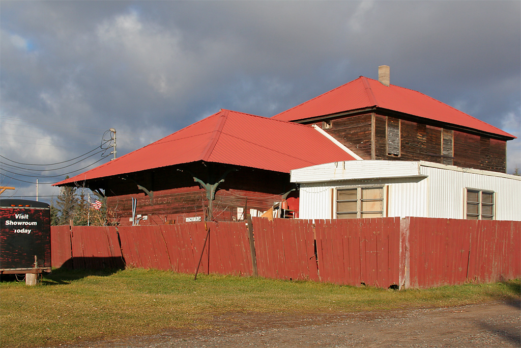
Soo Line Depot - McGregor, Minnesota

Triple Point

Symmetry at Sunset
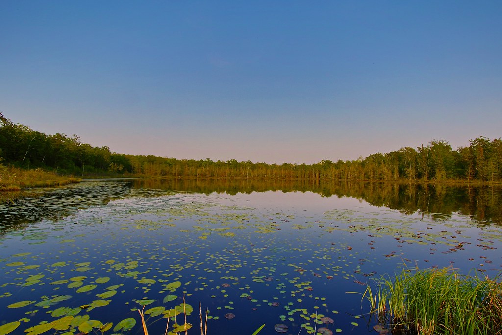
Boreal Lake
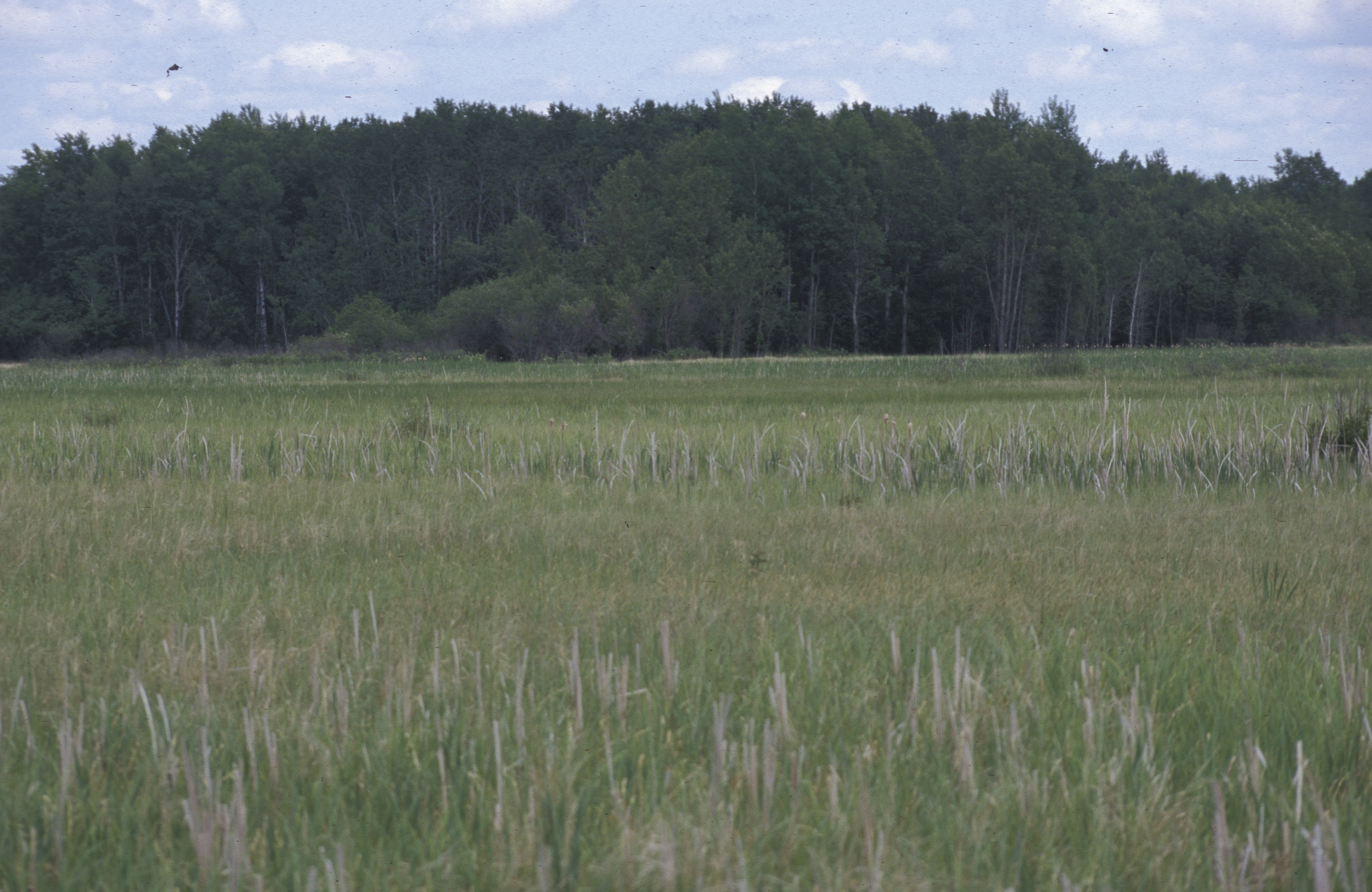
McGregor Marsh, yellow rail and nelson's sharp-tailed sparrow habitat, Sax Zim Bog, MN, 1998_06_13.jpg
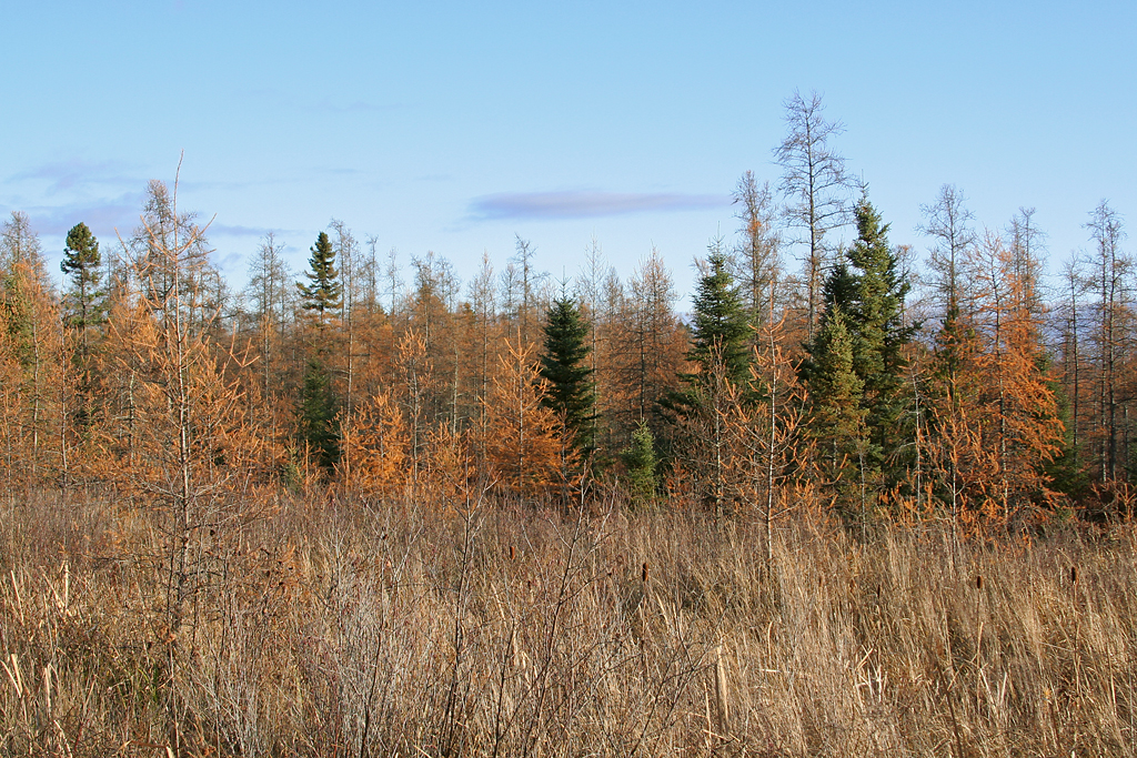
In a Tamarack Bog
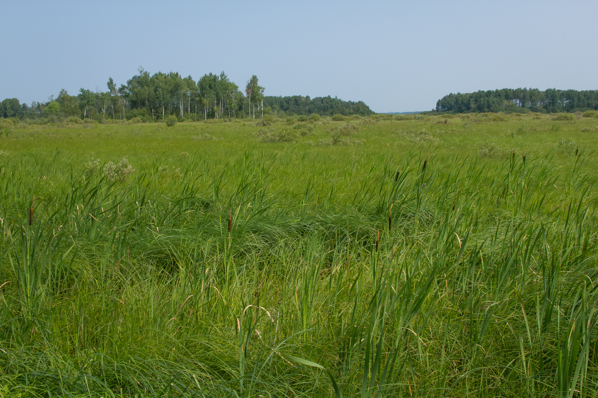
Mcgregor Marsh SNA

Honor the Earth - LoveWaterNotOil

Honor the Earth
Honor the Earth

Honor the Earth

Honor the Earth
McGregor, MN

Sunset #cpbc #covenantpines #sunset #lake #upnorth #exploremn #exploreminnesota #mnstagram #minnstagram
Topographic Map of th St, McGregor, MN, USA
Find elevation by address:

Places near th St, McGregor, MN, USA:
Spalding Township
21377 380th Ln
Mcgregor
Aitkin County
33490 310th Pl
Glen Township
Palisade
Cook St, Palisade, MN, USA
3624 Wilson Rd
Fine Lakes Township
24 2nd St Ne
21 1st St NW, Aitkin, MN, USA
Aitkin
US-2, Floodwood, MN, USA
Waters Edge Dr, Duluth, MN, USA
US-2, Floodwood, MN, USA
Floodwood
US-2, Floodwood, MN, USA
42287 432nd Ln
NW Ione Ave, Hill City, MN, USA
Recent Searches:
- Elevation of Kreuzburger Weg 13, Düsseldorf, Germany
- Elevation of Gateway Blvd SE, Canton, OH, USA
- Elevation of East W.T. Harris Boulevard, E W.T. Harris Blvd, Charlotte, NC, USA
- Elevation of West Sugar Creek, Charlotte, NC, USA
- Elevation of Wayland, NY, USA
- Elevation of Steadfast Ct, Daphne, AL, USA
- Elevation of Lagasgasan, X+CQH, Tiaong, Quezon, Philippines
- Elevation of Rojo Ct, Atascadero, CA, USA
- Elevation of Flagstaff Drive, Flagstaff Dr, North Carolina, USA
- Elevation of Avery Ln, Lakeland, FL, USA