Elevation of th St, Hammond, IN, USA
Location: United States > Indiana > Lake County > North Township > Hammond >
Longitude: -87.505034
Latitude: 41.5774218
Elevation: -10000m / -32808feet
Barometric Pressure: 295KPa
Elevation Map:
Satellite Map:
Related Photos:

803 at Lunch

Absence of Faith

City Methodist Church

Student Lounge
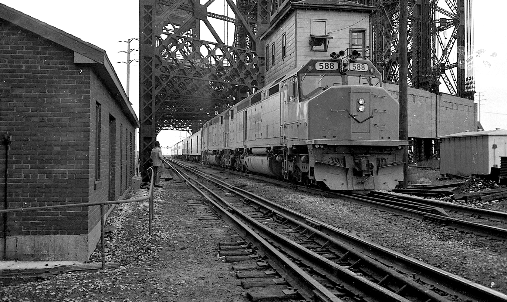
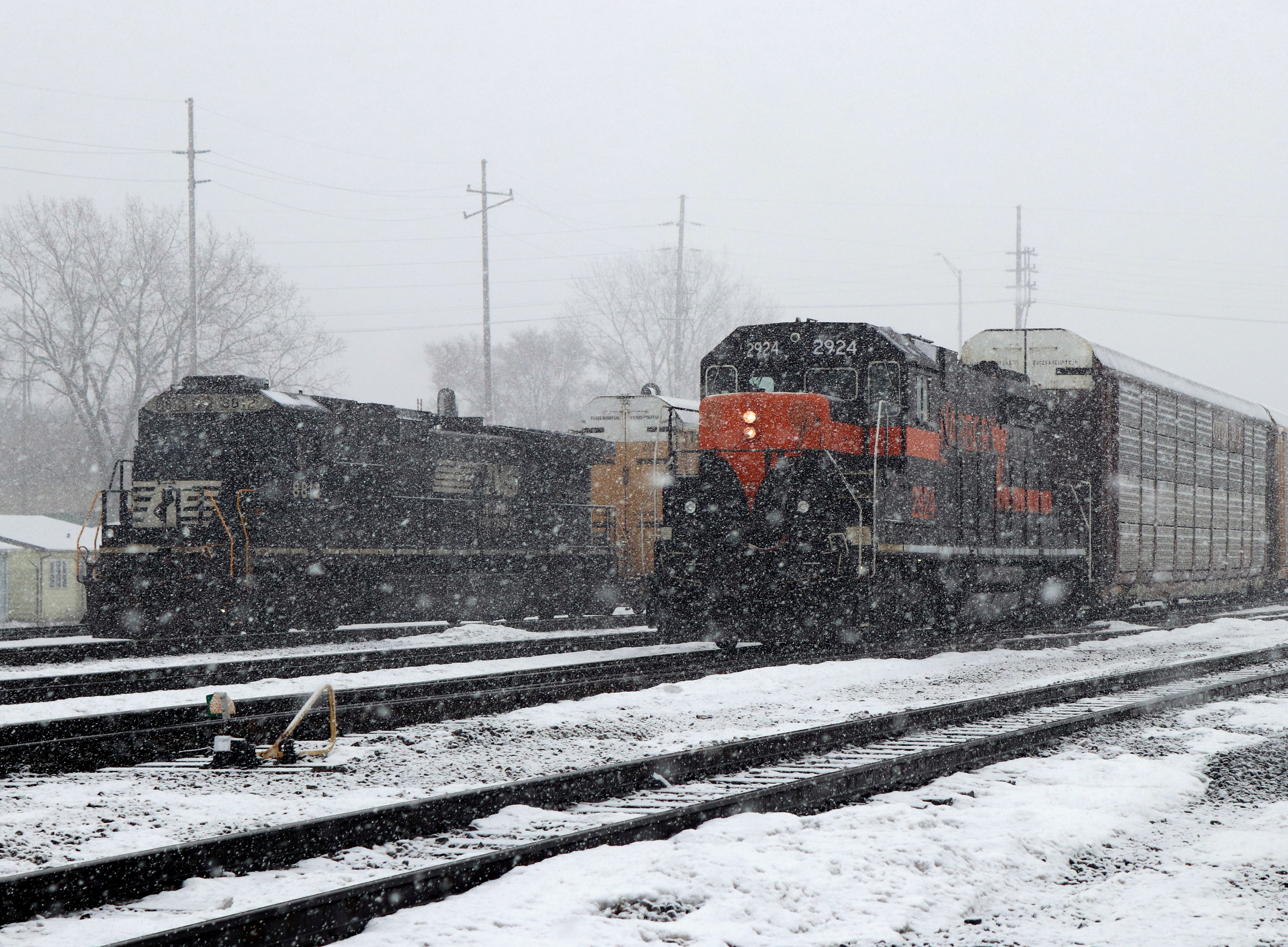
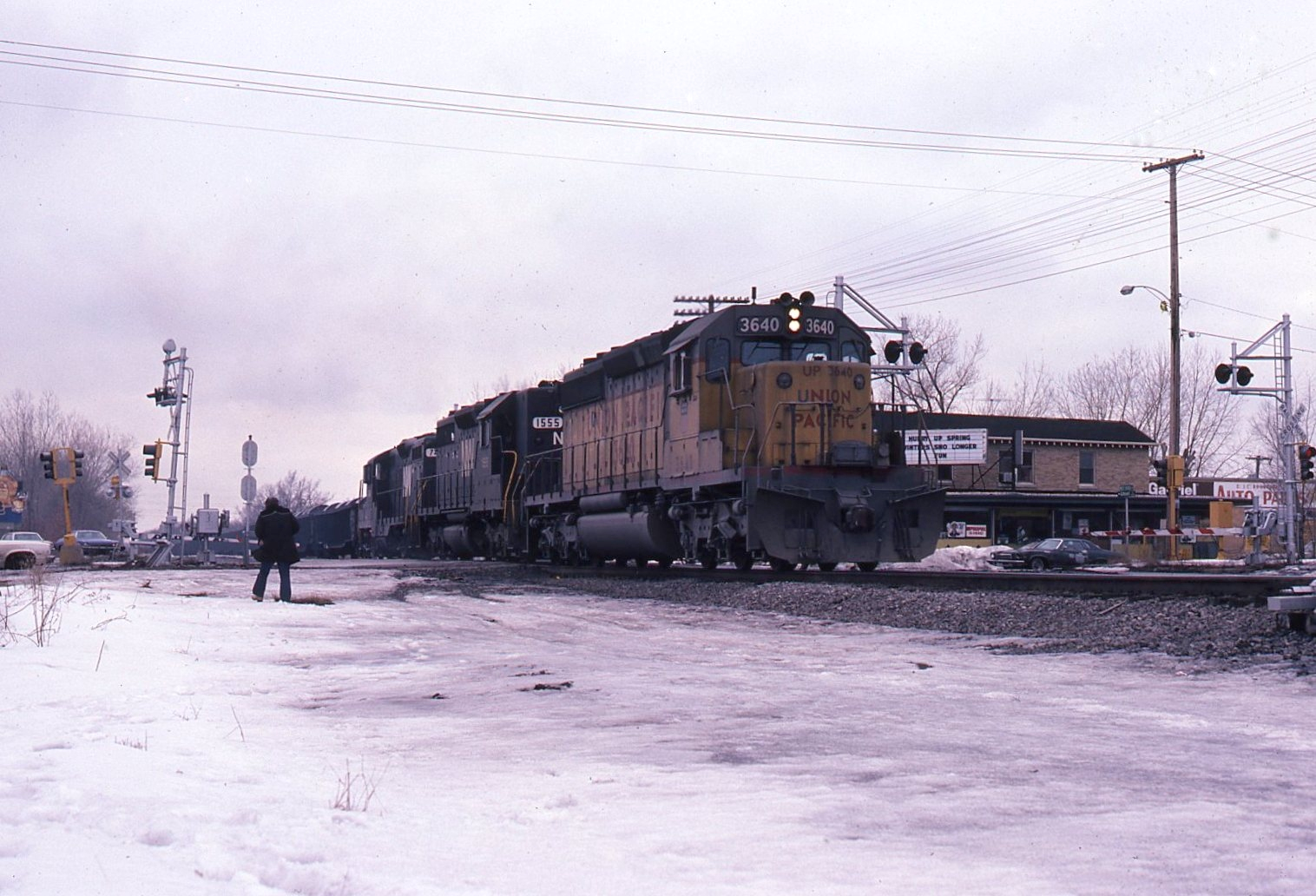
Rail photography in different times

The Making of Steel

former Jewel/Osco near Exit Zero

The Sanctuary (the other side)

Blue Cross

RGB 11

State line reflections

City Methodist Church

SDP-40F trouble? Call up the Big Cat!

(323/358)

Van Loon: end of the line
IHB Gibson

City Methodist
Nickel Plate Pacific
Bustin Plow Lines

City Methodist Church

City Methodist Church

get out the vote ("Calumet Incinerator")

Entering Lake Calumet

Whihala-Week 19
Whihala- Week 20

Golden Sunset over a frozen pond

Golden Deathstars

Whihala-Week 29

Painted Sky at Sunset

Whihala -Week 5

She's gone

Sunset on the Harbor

08/22/2007

Sunset to Twilight

Whihala- week 15

it's quiet now

Dandelions Going to Seed
Whihala -week 16

across from the strip club (Calumet twilight)

Whihala -week 4

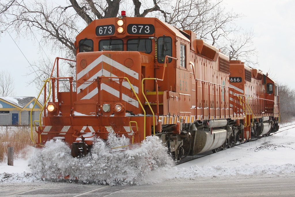
cold steel

Over & Under
Topographic Map of th St, Hammond, IN, USA
Find elevation by address:

Places near th St, Hammond, IN, USA:
1000 173rd St
1000 173rd St
1000 River Dr
900 River Dr
Hammond
1027 Spruce St
1027 Mulberry St
Monroe Ave, Munster, IN, USA
Munster
17657 Maple St
537 Highland St
North Township
Lansing
Ridge Rd, Lansing, IL, USA
7220 Kennedy Ave
Wentworth Ave, Calumet City, IL, USA
Calumet City
412 154th Pl
4828 Chestnut Ave
4807 Walsh Ave
Recent Searches:
- Elevation of Shibuya Scramble Crossing, 21 Udagawacho, Shibuya City, Tokyo -, Japan
- Elevation of Jadagoniai, Kaunas District Municipality, Lithuania
- Elevation of Pagonija rock, Kranto 7-oji g. 8"N, Kaunas, Lithuania
- Elevation of Co Rd 87, Jamestown, CO, USA
- Elevation of Tenjo, Cundinamarca, Colombia
- Elevation of Côte-des-Neiges, Montreal, QC H4A 3J6, Canada
- Elevation of Bobcat Dr, Helena, MT, USA
- Elevation of Zu den Ihlowbergen, Althüttendorf, Germany
- Elevation of Badaber, Peshawar, Khyber Pakhtunkhwa, Pakistan
- Elevation of SE Heron Loop, Lincoln City, OR, USA