Elevation of th St, Colome, SD, USA
Location: United States > South Dakota > Tripp County > Stewart Township >
Longitude: -99.740568
Latitude: 43.1110476
Elevation: 707m / 2320feet
Barometric Pressure: 93KPa
Elevation Map:
Satellite Map:
Related Photos:
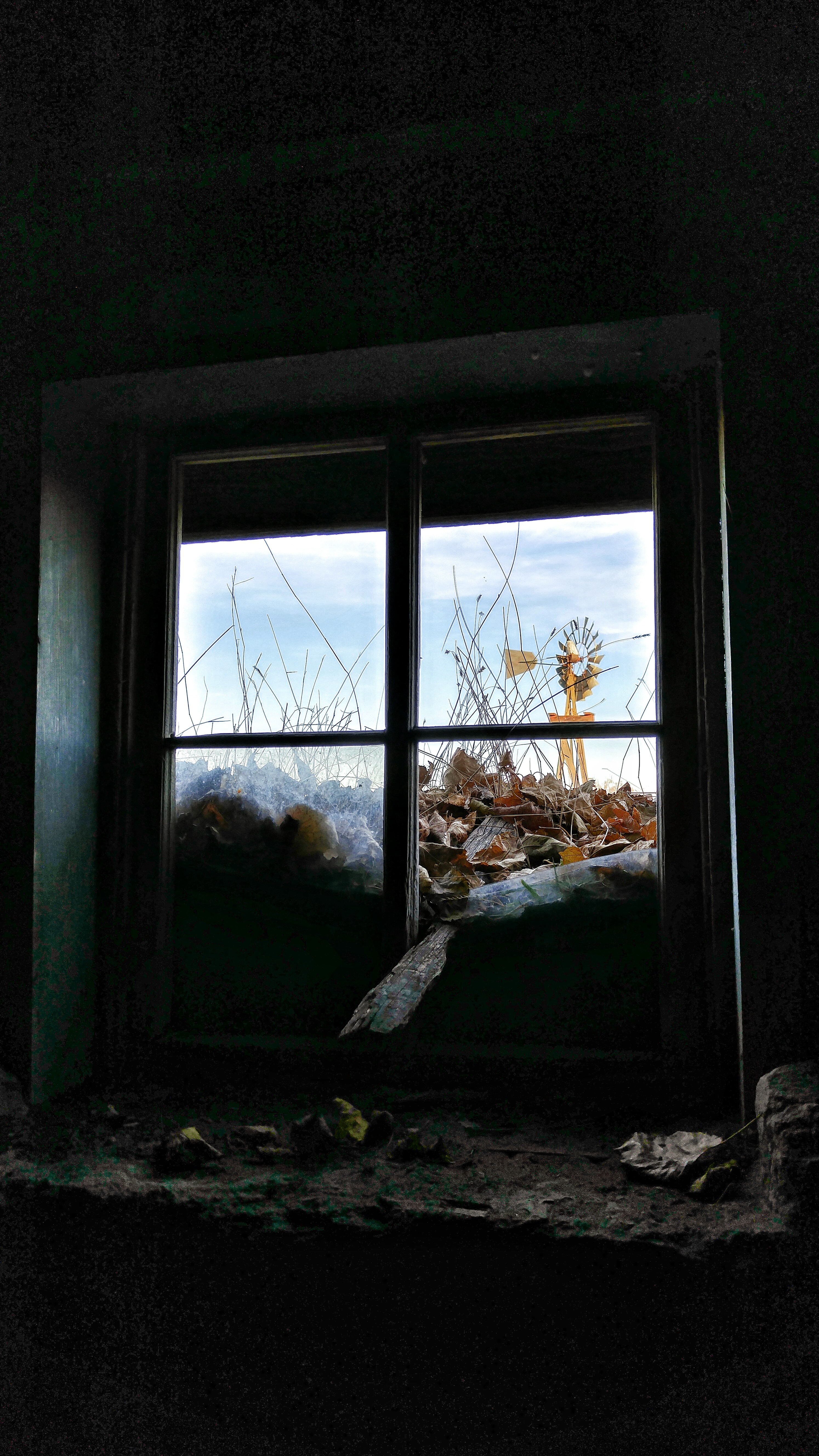
view from the past
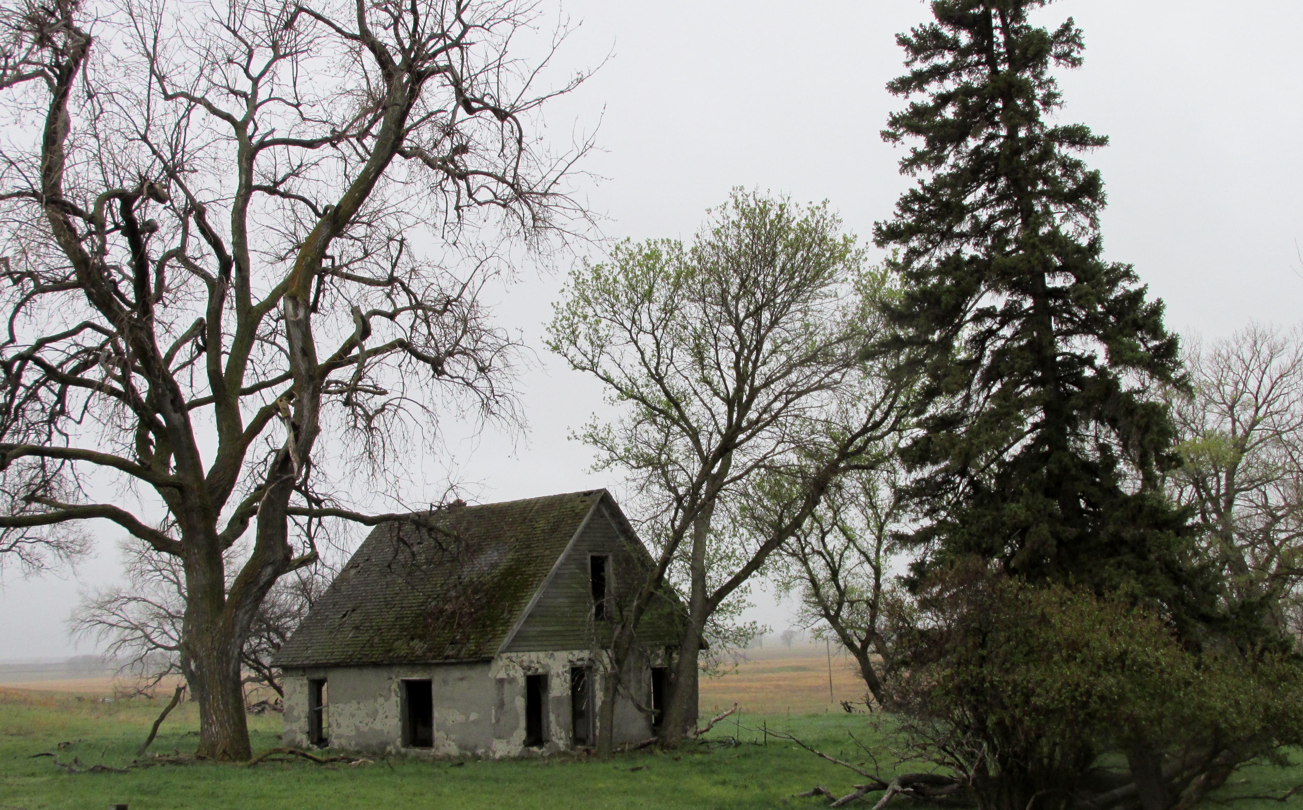
Abandoned South Dakota Farmhouse
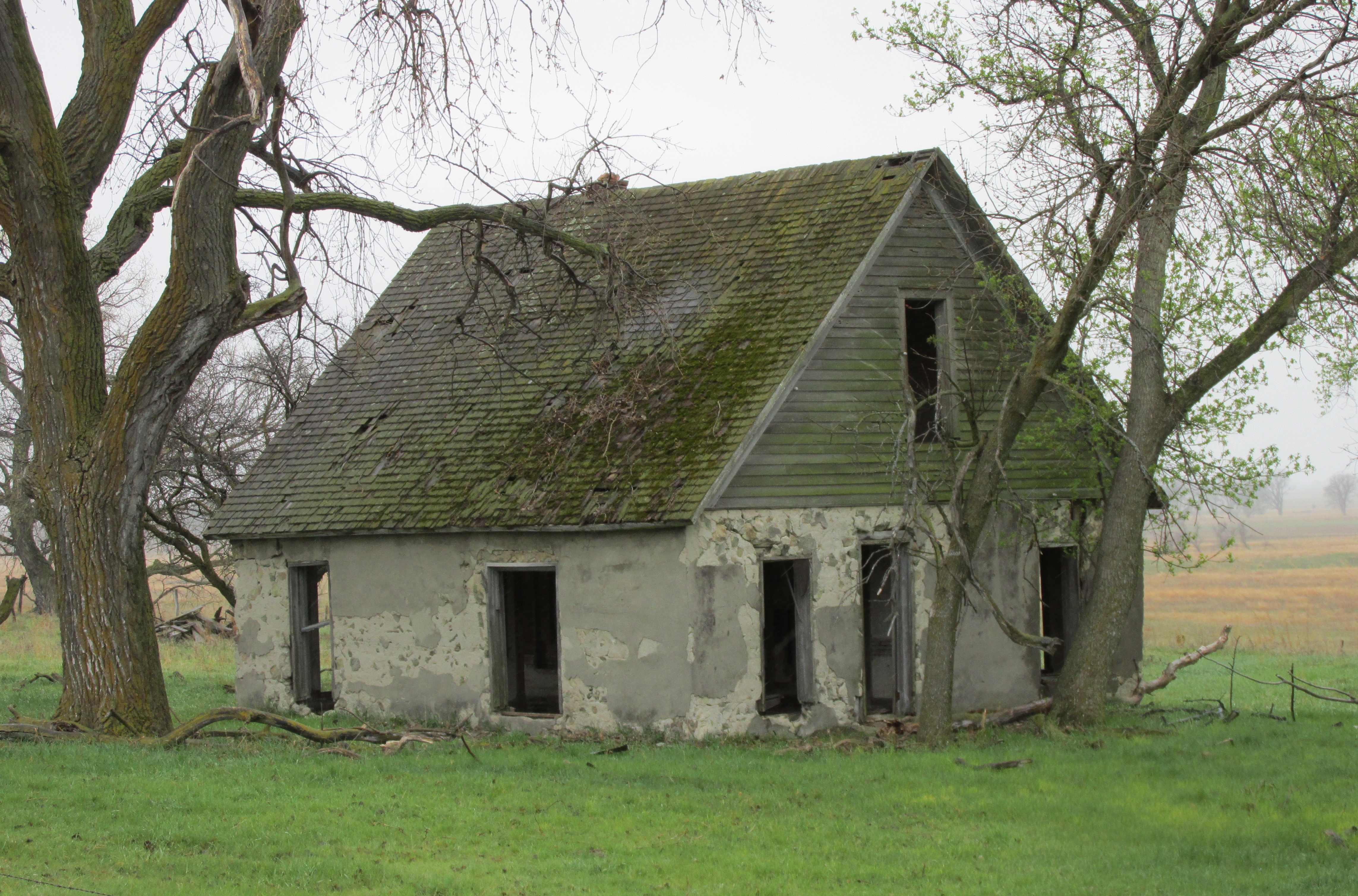
Abandoned South Dakota Farmhouse
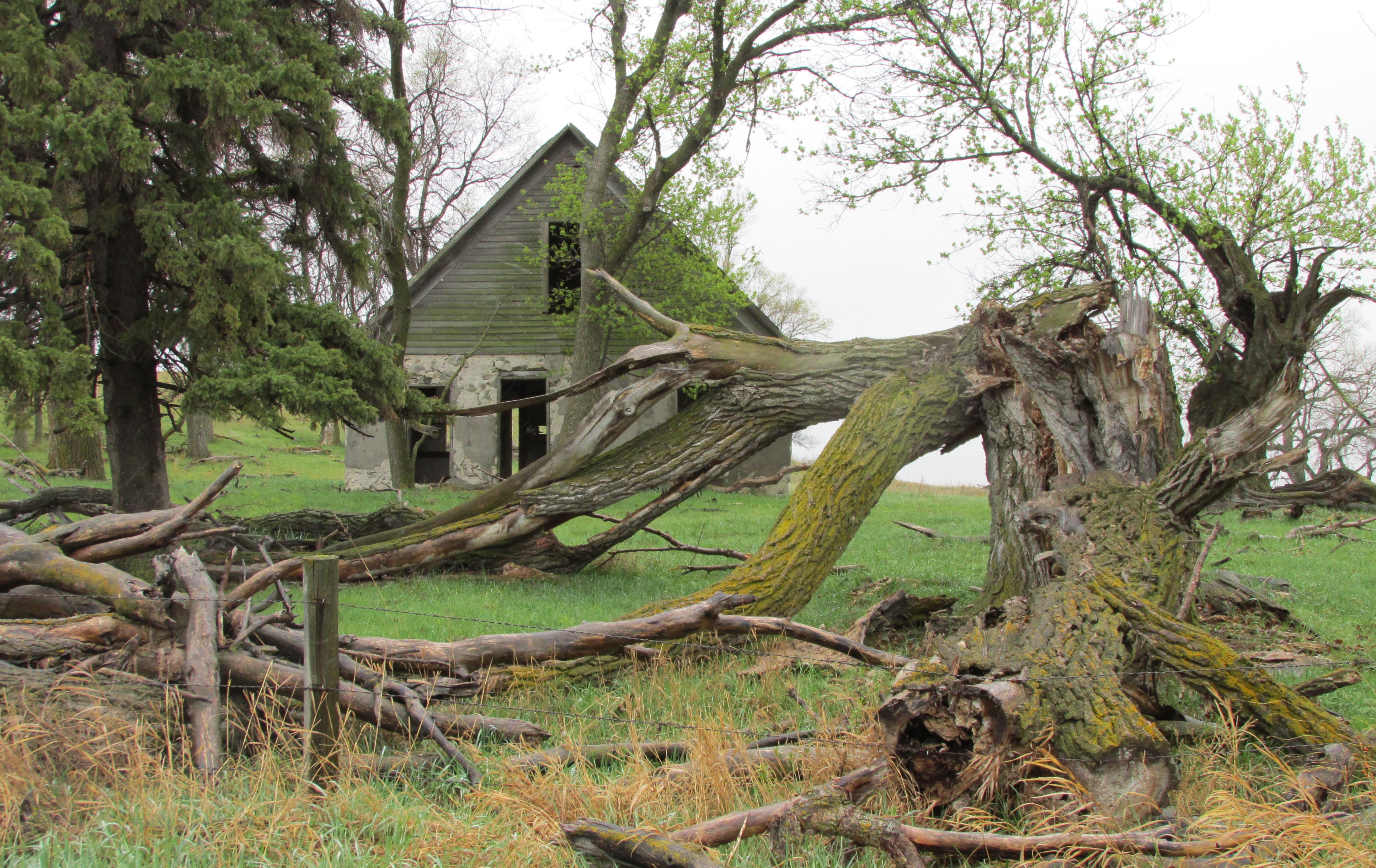
Abandoned South Dakota Farmhouse

Michael ng
Pelican Cove

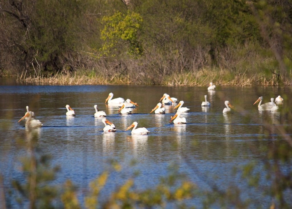
American White Pelicans

American White Pelican

Pelicans on the Prairie
Topographic Map of th St, Colome, SD, USA
Find elevation by address:

Places near th St, Colome, SD, USA:
Stewart Township
29307 320th Ave
29307 320th Ave
28954 321st Ave
Lake Township
Tripp County
408 W 6th St
409 Main St
Main St, Colome, SD, USA
Colome
Colome High School
Elliston Township
32949 292nd St
32949 292nd St
32951 290th St
28346 321st Ave
28324 320th Ave
Dallas
Lamro Township
Main St, Gregory, SD, USA
Recent Searches:
- Elevation of W Granada St, Tampa, FL, USA
- Elevation of Pykes Down, Ivybridge PL21 0BY, UK
- Elevation of Jalan Senandin, Lutong, Miri, Sarawak, Malaysia
- Elevation of Bilohirs'k
- Elevation of 30 Oak Lawn Dr, Barkhamsted, CT, USA
- Elevation of Luther Road, Luther Rd, Auburn, CA, USA
- Elevation of Unnamed Road, Respublika Severnaya Osetiya — Alaniya, Russia
- Elevation of Verkhny Fiagdon, North Ossetia–Alania Republic, Russia
- Elevation of F. Viola Hiway, San Rafael, Bulacan, Philippines
- Elevation of Herbage Dr, Gulfport, MS, USA