Elevation of th St, Adair, IA, USA
Location: United States > Iowa > Guthrie County > Bear Grove >
Longitude: -94.710237
Latitude: 41.6457184
Elevation: 404m / 1325feet
Barometric Pressure: 97KPa
Elevation Map:
Satellite Map:
Related Photos:
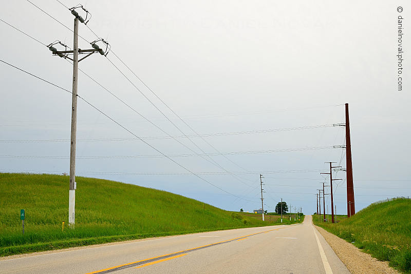
White Pole Road in Rural Iowa (DTA_4611)
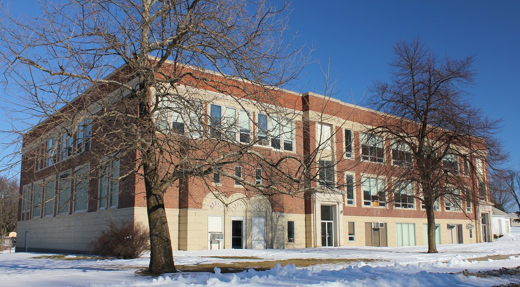
Public School - Exira, IA
Topographic Map of th St, Adair, IA, USA
Find elevation by address:

Places near th St, Adair, IA, USA:
Bear Grove
Adair
Exira
W Washington St, Exira, IA, USA
Exira
2682 Maple Ave
Thompson
Grant
Main St, Anita, IA, USA
Anita
Guthrie Center
State St, Guthrie Center, IA, USA
902 N 5th St
1000 Hillcrest Dr
710 N 12th St
Lake Anita State Park
Coon Rapids
Audubon
Brayton
Mc Pherson St, Casey, IA, USA
Recent Searches:
- Elevation of Gateway Blvd SE, Canton, OH, USA
- Elevation of East W.T. Harris Boulevard, E W.T. Harris Blvd, Charlotte, NC, USA
- Elevation of West Sugar Creek, Charlotte, NC, USA
- Elevation of Wayland, NY, USA
- Elevation of Steadfast Ct, Daphne, AL, USA
- Elevation of Lagasgasan, X+CQH, Tiaong, Quezon, Philippines
- Elevation of Rojo Ct, Atascadero, CA, USA
- Elevation of Flagstaff Drive, Flagstaff Dr, North Carolina, USA
- Elevation of Avery Ln, Lakeland, FL, USA
- Elevation of Woolwine, VA, USA