Elevation of th Pl, Minburn, IA, USA
Location: United States > Iowa > Dallas County > Sugar Grove > Minburn >
Longitude: -94.034764
Latitude: 41.734521
Elevation: 310m / 1017feet
Barometric Pressure: 98KPa
Elevation Map:
Satellite Map:
Related Photos:

DIY Reflector

Doorway Dance

Chive Chevre

Adel Water Tower

Cattle Chores
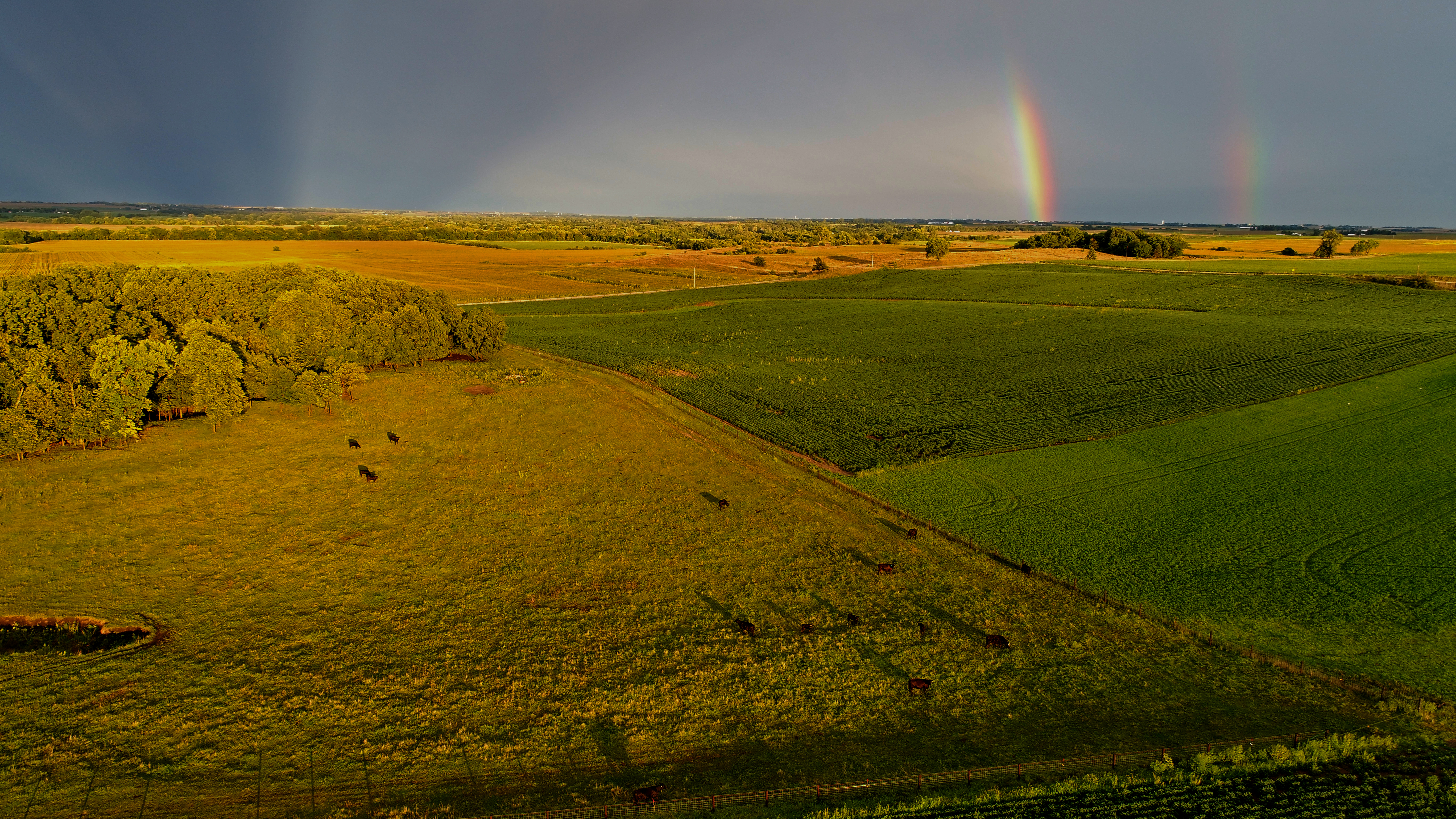
double rainbow
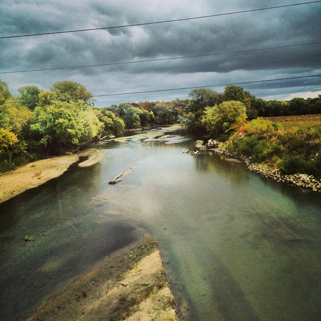
Beaver Creek

????

300 husker
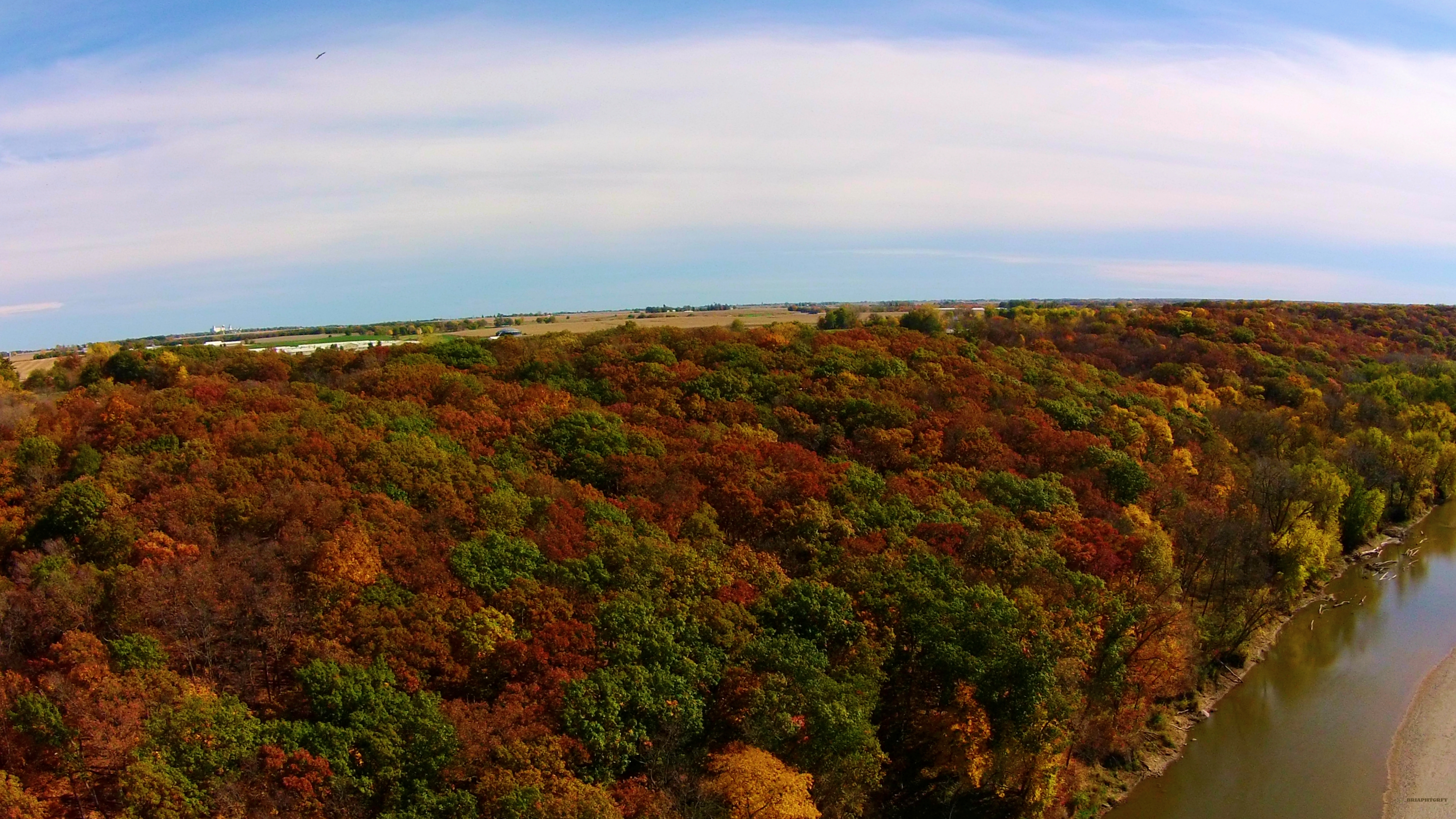
Fall Above

Texture striping yarn. Newest #obsession. #yarn #handspun #handmade #green #fiber #felt #fibershed #fiberart #fibergeek #stripes #gradient #fairtrade #mohair #maker #lincolnwool #wool #weaver #weaveweird #artyarn #artisan #etsy #girlwithasword #buymyyarn
Spending the night in small town Iowa. This journey is constantly teaching me to enjoy life wherever I find myself. Beauty is everywhere!

Sunset Farmstead

Brenton arboretum 2
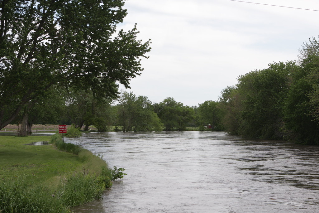
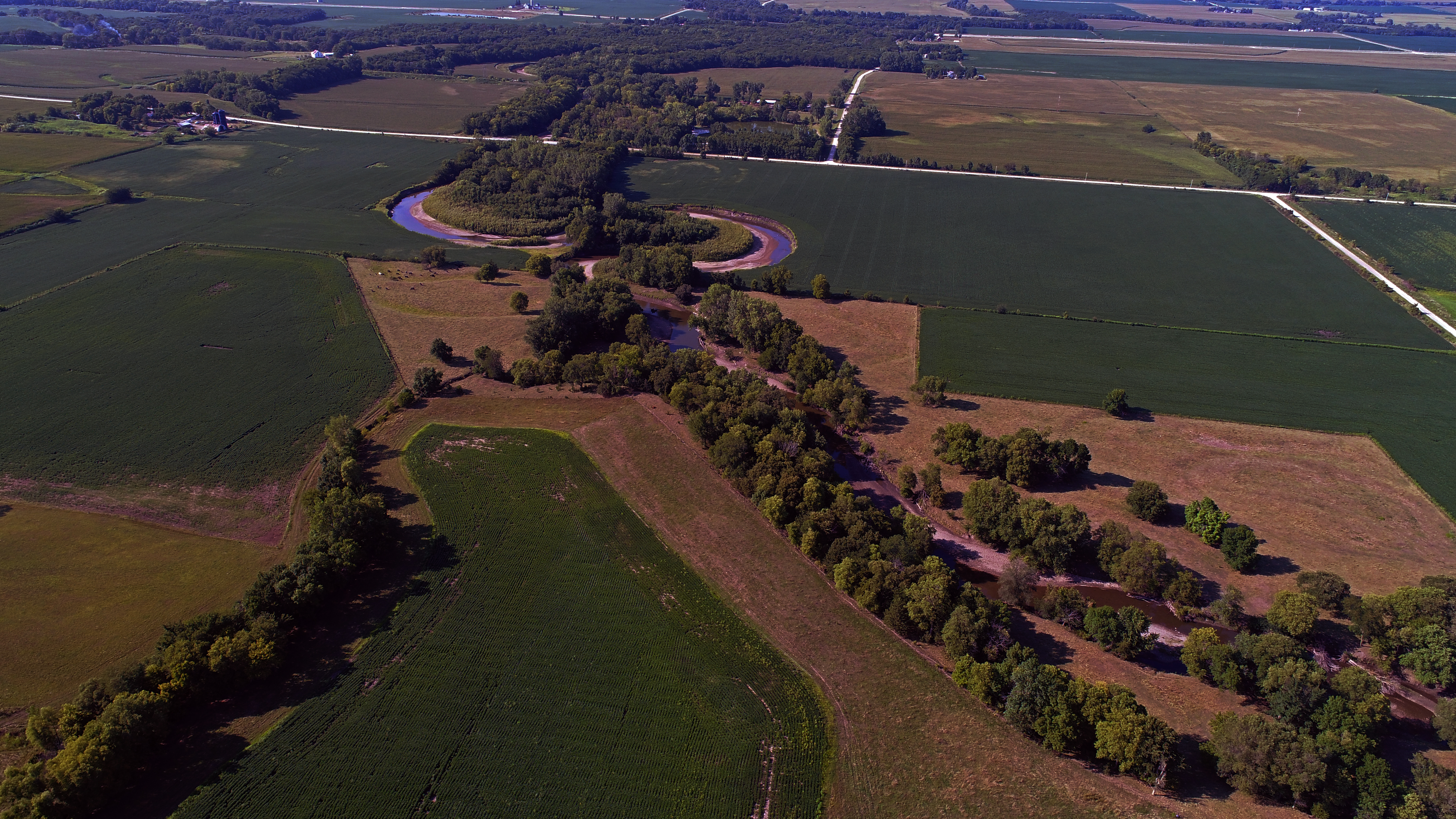
North Raccoon River

Brenton arboretum

Brenton arboretum walking trail
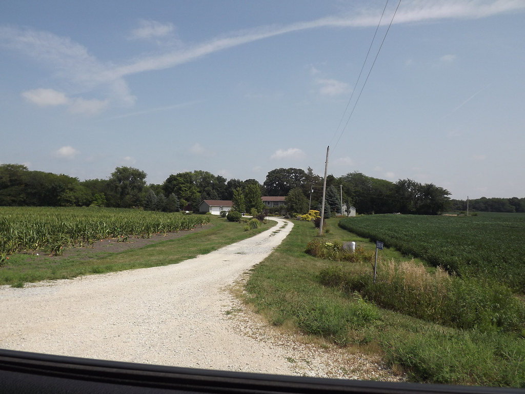
2013 August - Iowa
Topographic Map of th Pl, Minburn, IA, USA
Find elevation by address:

Places near th Pl, Minburn, IA, USA:
Walnut St, Minburn, IA, USA
N Avenue
Minburn
16180 N Avenue
Sugar Grove
U.s Highway 169
th St, Dallas Center, IA, USA
Walnut St, Dallas Center, IA, USA
Dallas Center
Beaver
Adel
Bouton
S Beaver Ave, Bouton, IA, USA
Adel
Dallas County
Dallas County
1900 S 15th St
Diagonal, Woodward, IA, USA
Woodward
Grant
Recent Searches:
- Elevation of Congressional Dr, Stevensville, MD, USA
- Elevation of Bellview Rd, McLean, VA, USA
- Elevation of Stage Island Rd, Chatham, MA, USA
- Elevation of Shibuya Scramble Crossing, 21 Udagawacho, Shibuya City, Tokyo -, Japan
- Elevation of Jadagoniai, Kaunas District Municipality, Lithuania
- Elevation of Pagonija rock, Kranto 7-oji g. 8"N, Kaunas, Lithuania
- Elevation of Co Rd 87, Jamestown, CO, USA
- Elevation of Tenjo, Cundinamarca, Colombia
- Elevation of Côte-des-Neiges, Montreal, QC H4A 3J6, Canada
- Elevation of Bobcat Dr, Helena, MT, USA