Elevation of th Ave, Thompson, IA, USA
Location: United States > Iowa > Winnebago County > Eden >
Longitude: -93.755012
Latitude: 43.4818237
Elevation: -10000m / -32808feet
Barometric Pressure: 295KPa
Elevation Map:
Satellite Map:
Related Photos:

Sunset Pond . . .

Immanuel Lutheran Church - Scarville, IA

Meyers & Hafermanns

Meyer cousins

Meyer cousins

Me, Sheldon, Dad, Nathan, & Clinton

Neil, Darryl, & Pam

Sheldon, Carey, & Erin

Kara, Audra, & Marilyn

Doyle, Margaret, Carrie, Kara, & Dad

Clinton & Dale

Judi, Neil, and Pam

Marilyn & Carey

Sonia, Bela, and Kirsten

Rob & Erin

Herb & Dad

Nathan & Gary

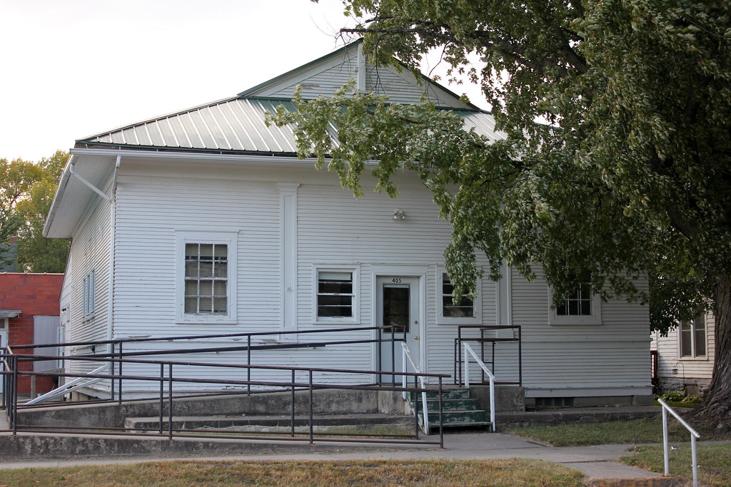
Zion Evangelical Lutheran Church - Thompson, IA
Bricelyn Senior Center - Bricelyn, MN

Speltz Grain & Coal Co. Elevator - Walters, MN

Speltz Grain & Coal Co. Elevator - Walters, MN
Topographic Map of th Ave, Thompson, IA, USA
Find elevation by address:

Places near th Ave, Thompson, IA, USA:
Eden
Winnebago County
Grace St, Buffalo Center, IA, USA
Rake
Lincoln
W Broadway, Leland, IA, USA
Leland
Buffalo
Forest
Buffalo Center
N Main St, Buffalo Center, IA, USA
14611 660th Ave
Center
W Main St, Lake Mills, IA, USA
Lake Mills
120 Cathedral Oaks Rd
Mount Valley
21270 Ia-9
21270 Ia-9
21270 Ia-9
Recent Searches:
- Elevation of Orchard Road, Orchard Rd, Marlborough, NY, USA
- Elevation of 12 Hutchinson Woods Dr, Fletcher, NC, USA
- Elevation of Holloway Ave, San Francisco, CA, USA
- Elevation of Norfolk, NY, USA
- Elevation of - San Marcos Pass Rd, Santa Barbara, CA, USA
- Elevation of th Pl SE, Issaquah, WA, USA
- Elevation of 82- D Rd, Captain Cook, HI, USA
- Elevation of Harlow CM20 2PR, UK
- Elevation of Shenyang Agricultural University, Dong Ling Lu, Shen He Qu, Shen Yang Shi, Liao Ning Sheng, China
- Elevation of Alpha Dr, Melbourne, FL, USA