Elevation of th Ave SE, Kent, WA, USA
Location: United States > Washington > King County > Kent >
Longitude: -122.17293
Latitude: 47.3738772
Elevation: 154m / 505feet
Barometric Pressure: 99KPa
Elevation Map:
Satellite Map:
Related Photos:

embracing the sun...

this much i know to be true
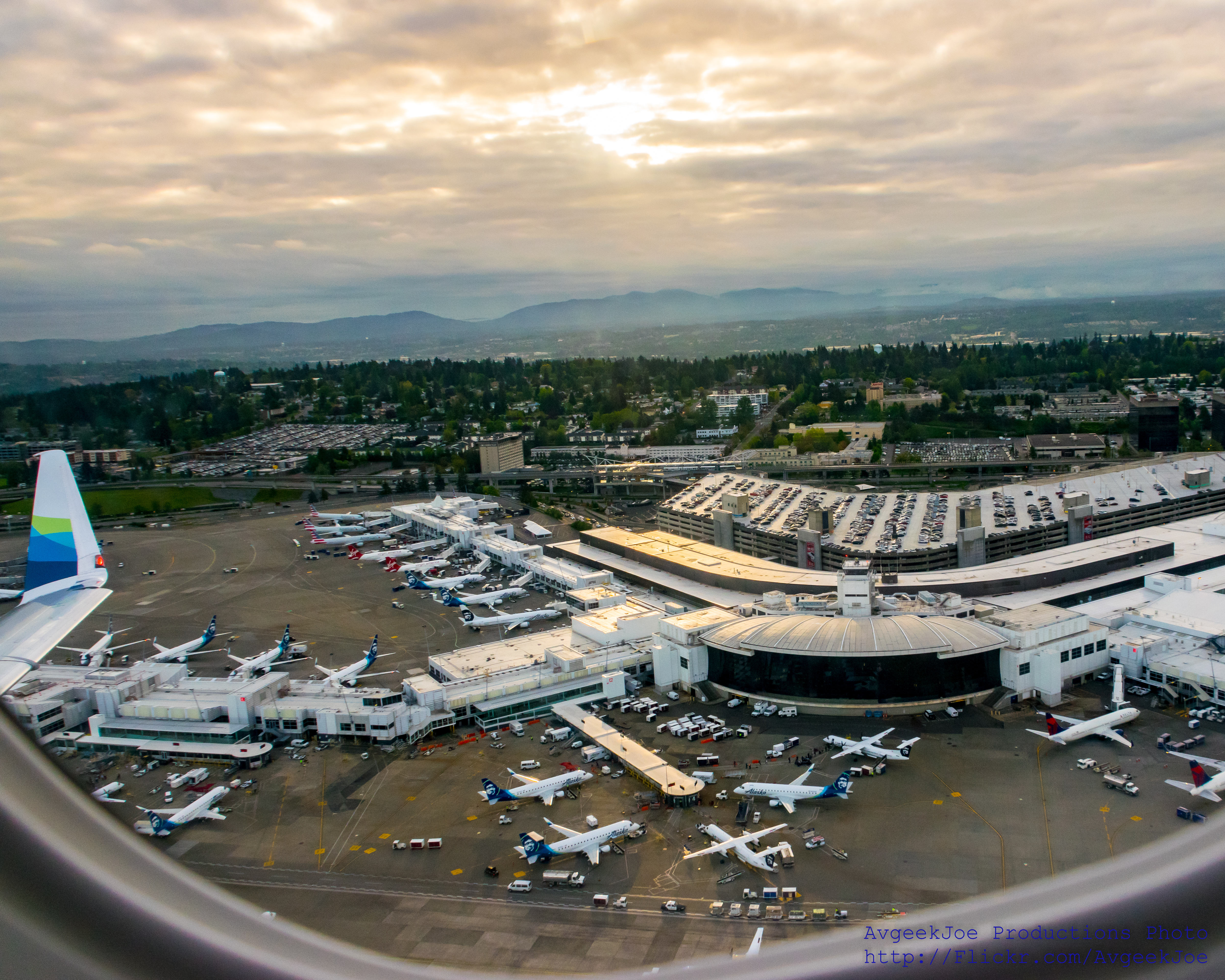
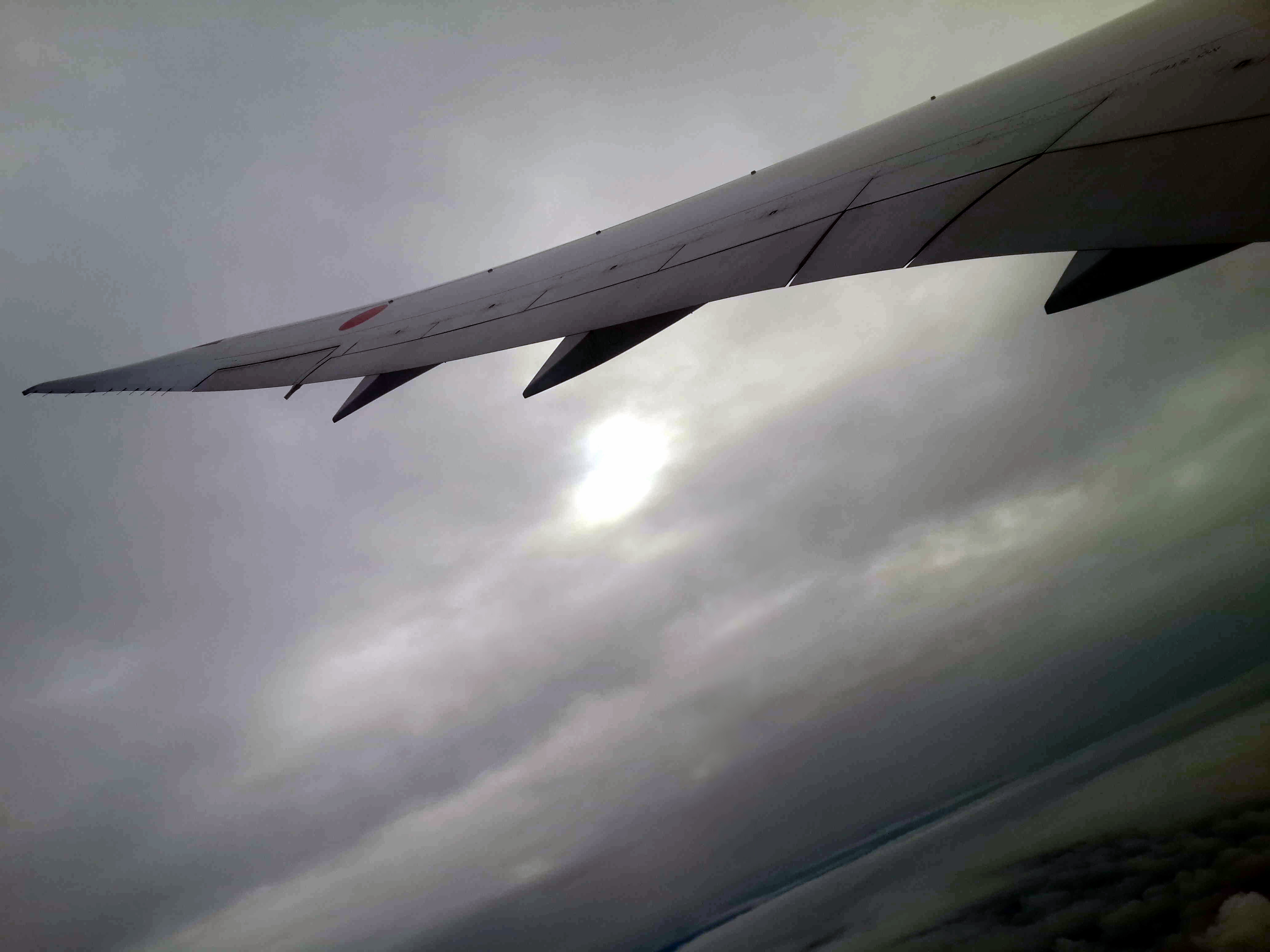
SEA-TAC (KSEA) UNDER THE WING... #IFlyAlaska
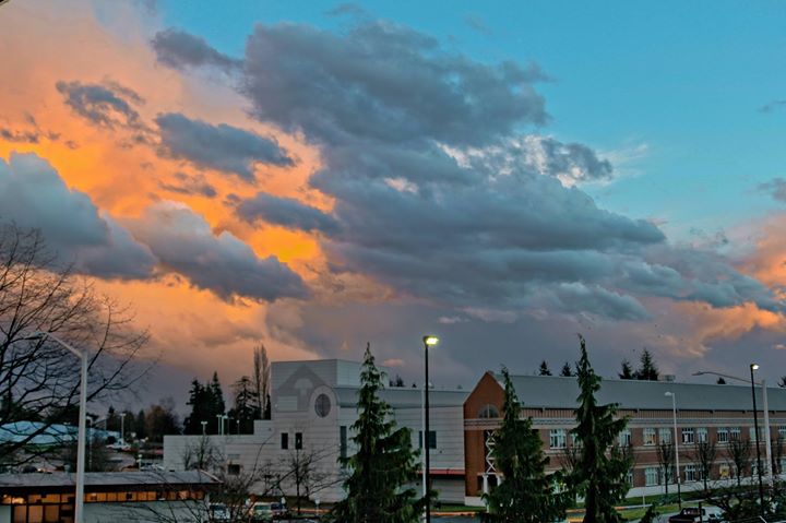
Spring is in the Air
Abridged View

Fiery Sky

Swept Away

Is It Still Autumn?
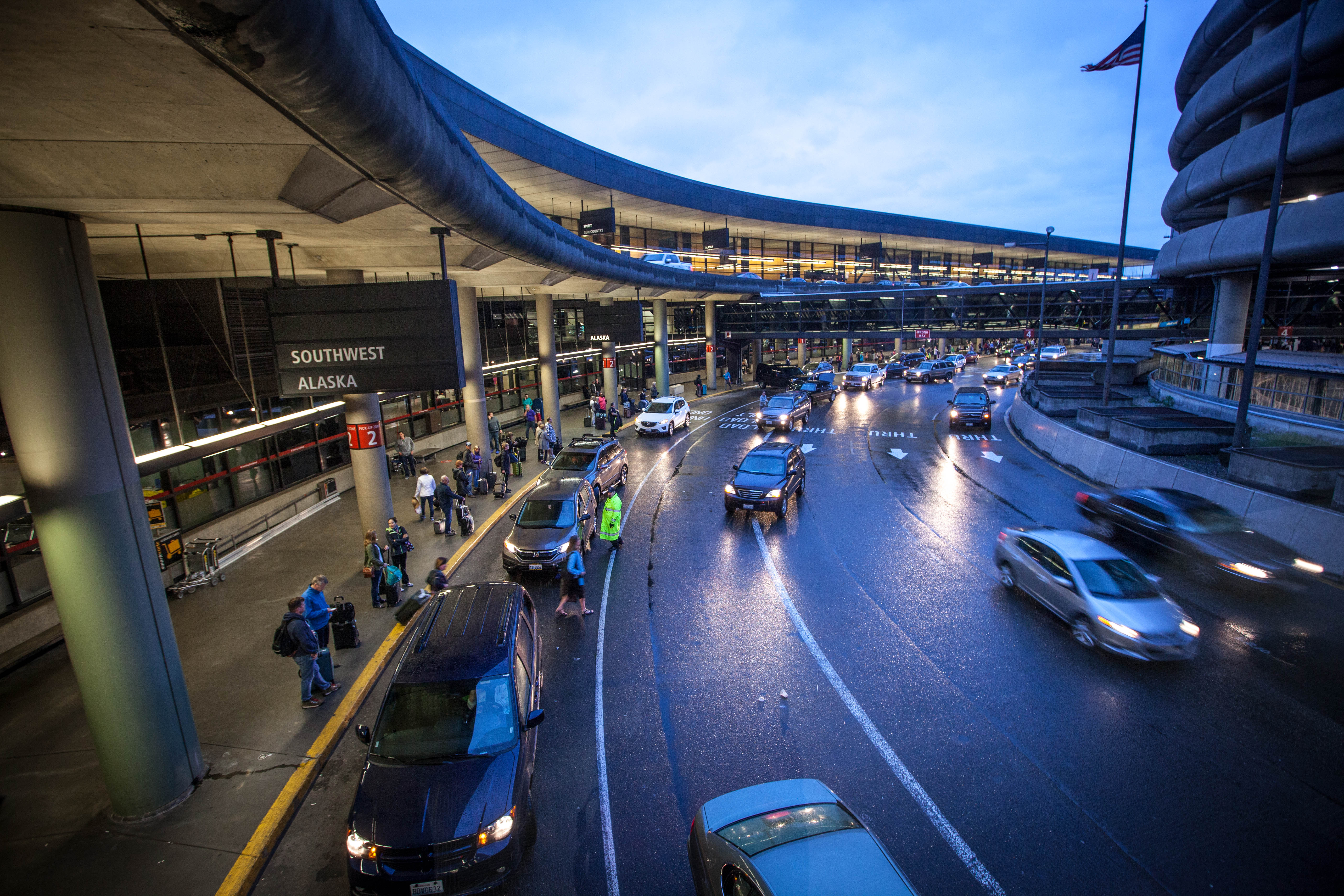
SeaTac skybridge view

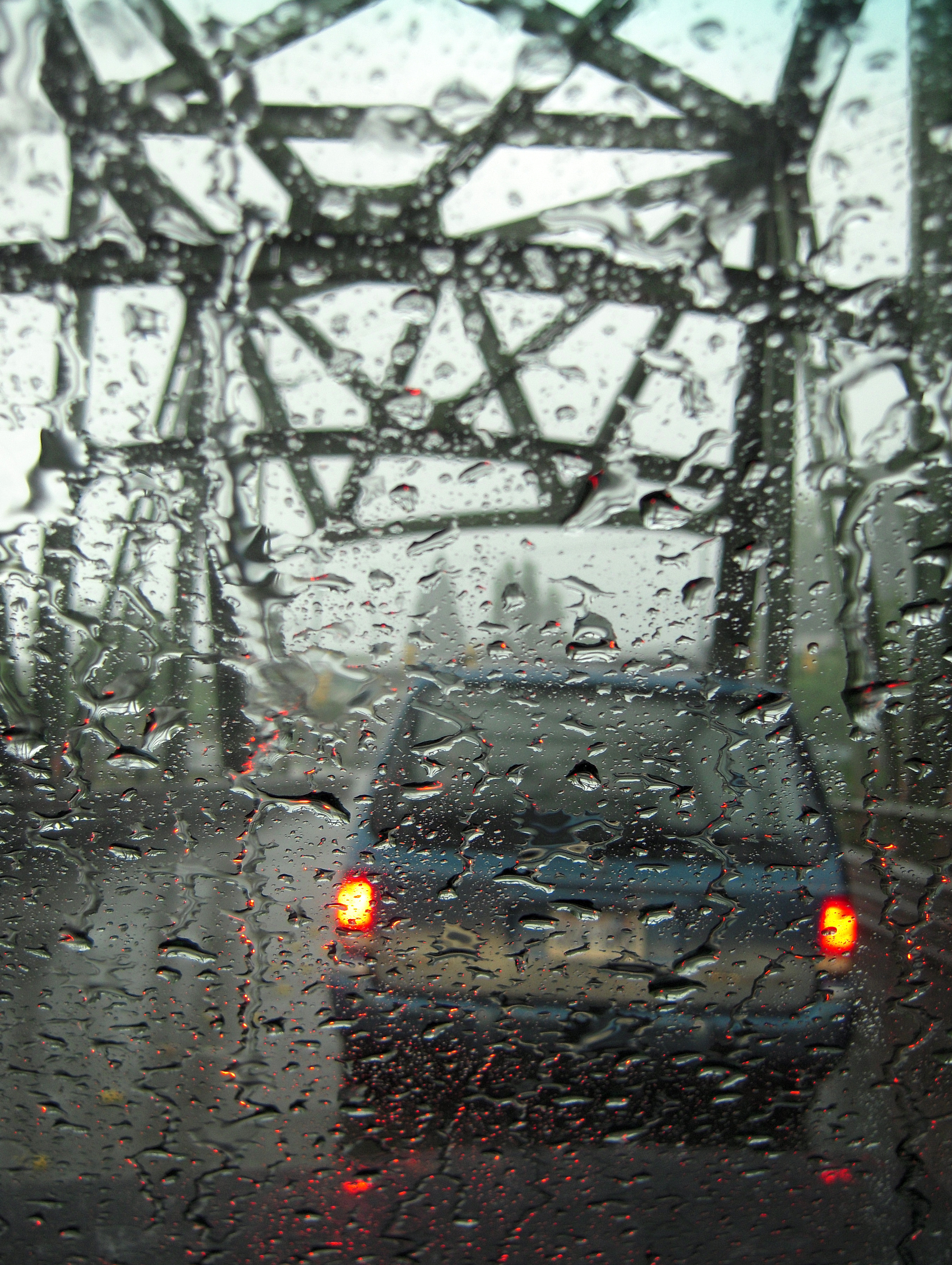
My View // Driving To Work

Pieces of Autumn
Morning clouds

Northwest DC-10 at SEA
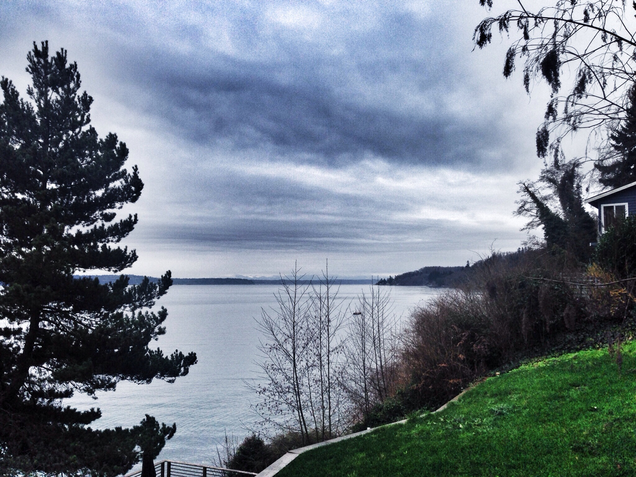
Our New View (54/365)

May Valley Horses
Top view of Seattle! Sun rising ,clouds,fog!

Midnight Sun

I was flying home from Denver last night, and this was the view over Seattle just before we landed at SeaTac. Photo credit: the person sitting next to me (unfortunately, I didn't get his name- he just shot the photo ????). #nofilter #seattle

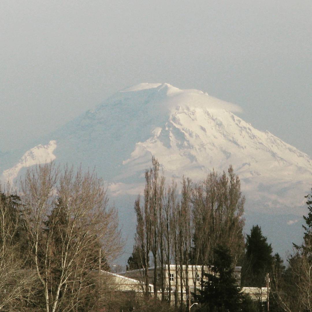
Mount Rainier View from Discovery Park

Monitor Cleaner
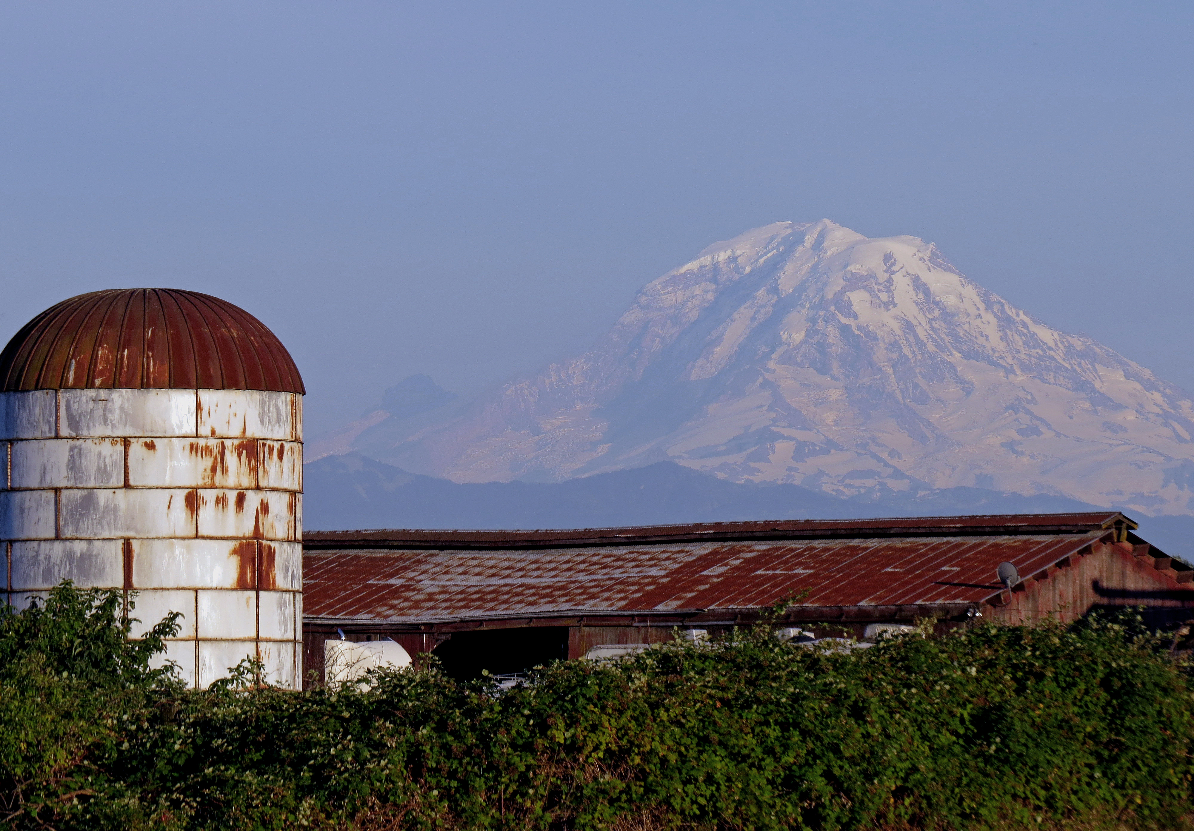
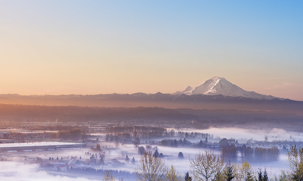
Mt. Rainier

Almost Touching The Sky
Last evening on the west coast and this guy finally makes an appearance. #mtrainier

I am sailing, I am sailing, home again 'cross the sea. I am sailing, stormy waters, to be near you, to be free.
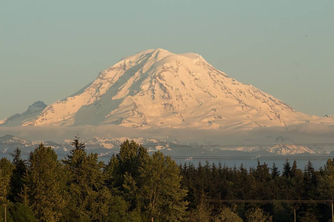
Mount Rainier as seen from my hotel room near Seattle, Washington. At 14,411 feet, (4,392 meters) Rainier is the tallest mountain in the state of Washington and the entire Cascade range of the Pacific Northwest. If you're going to start a new job, it does
Mt. Rainier

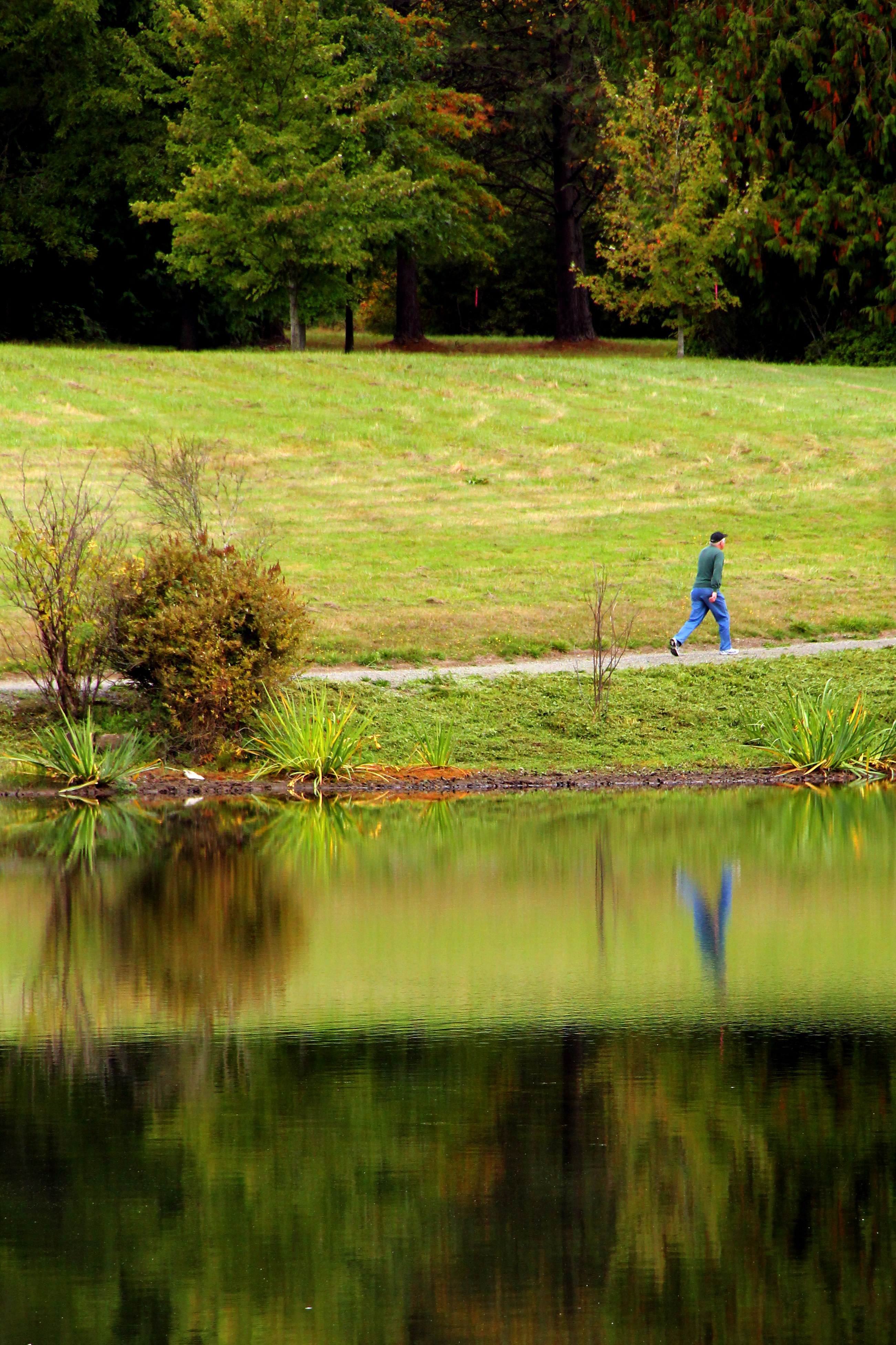
Tree Reflection

I <3 Puget Sound
Mt. Rainier in the distance...

Beach Sunset

Morning Calm
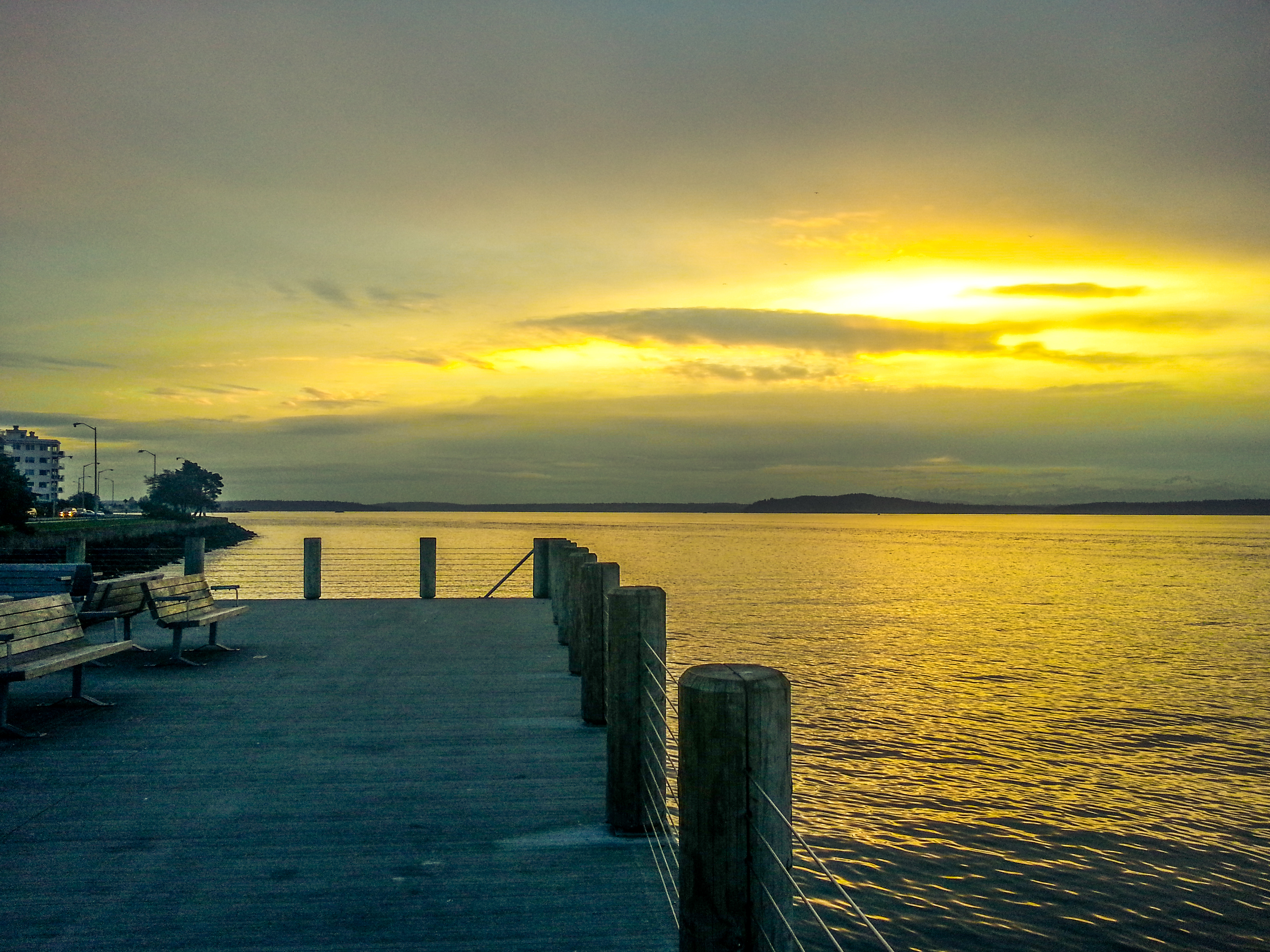
Sunset Glow
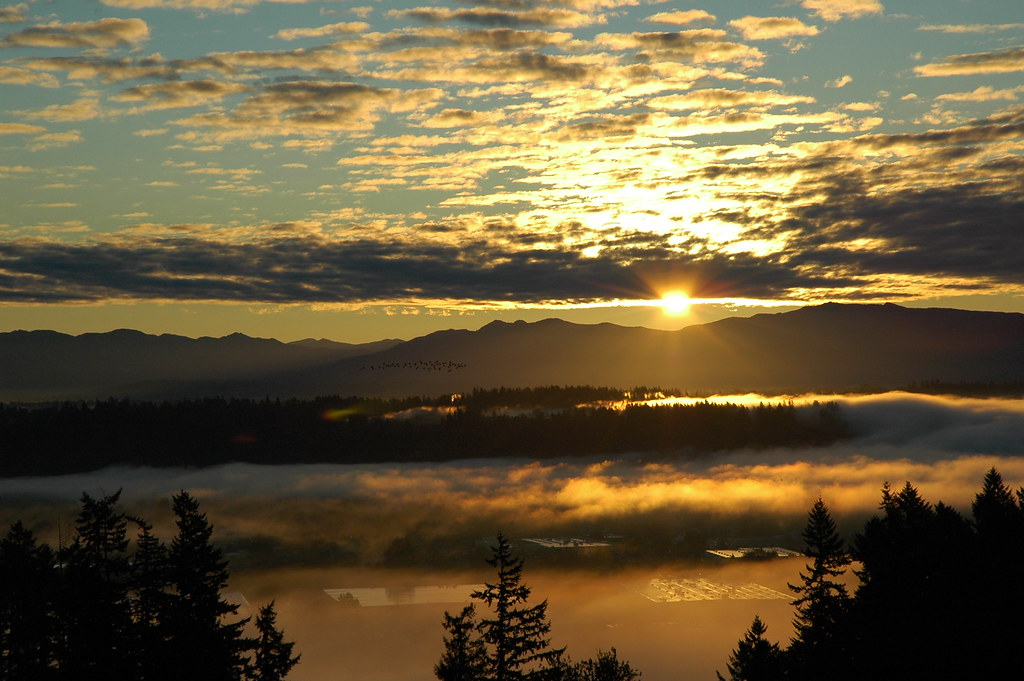
October Sunrise

Baby boo.

Beauty Untouched
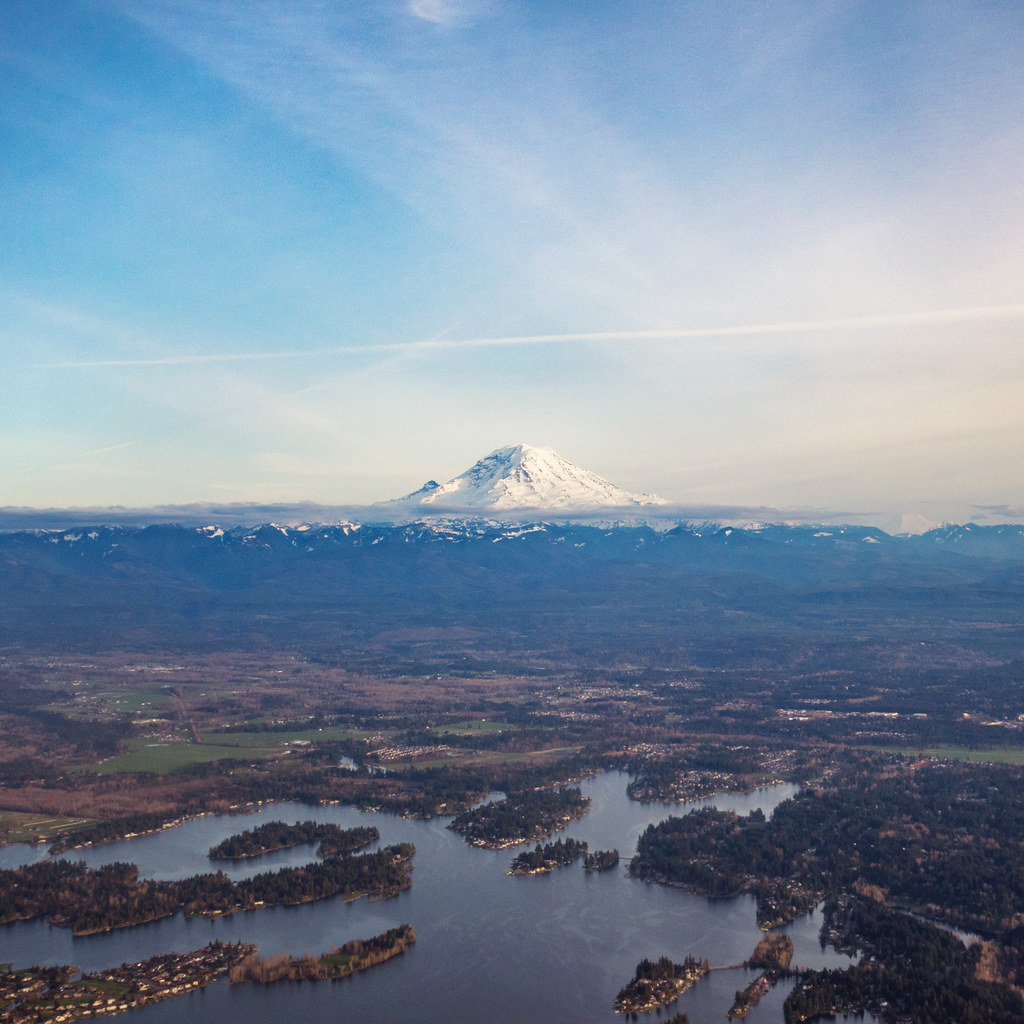
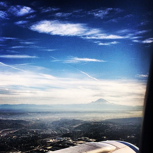
Mount Rainier before touching down in Seattle

Man Was Obiously Here (Explored 2/3/13)

Flooded Track

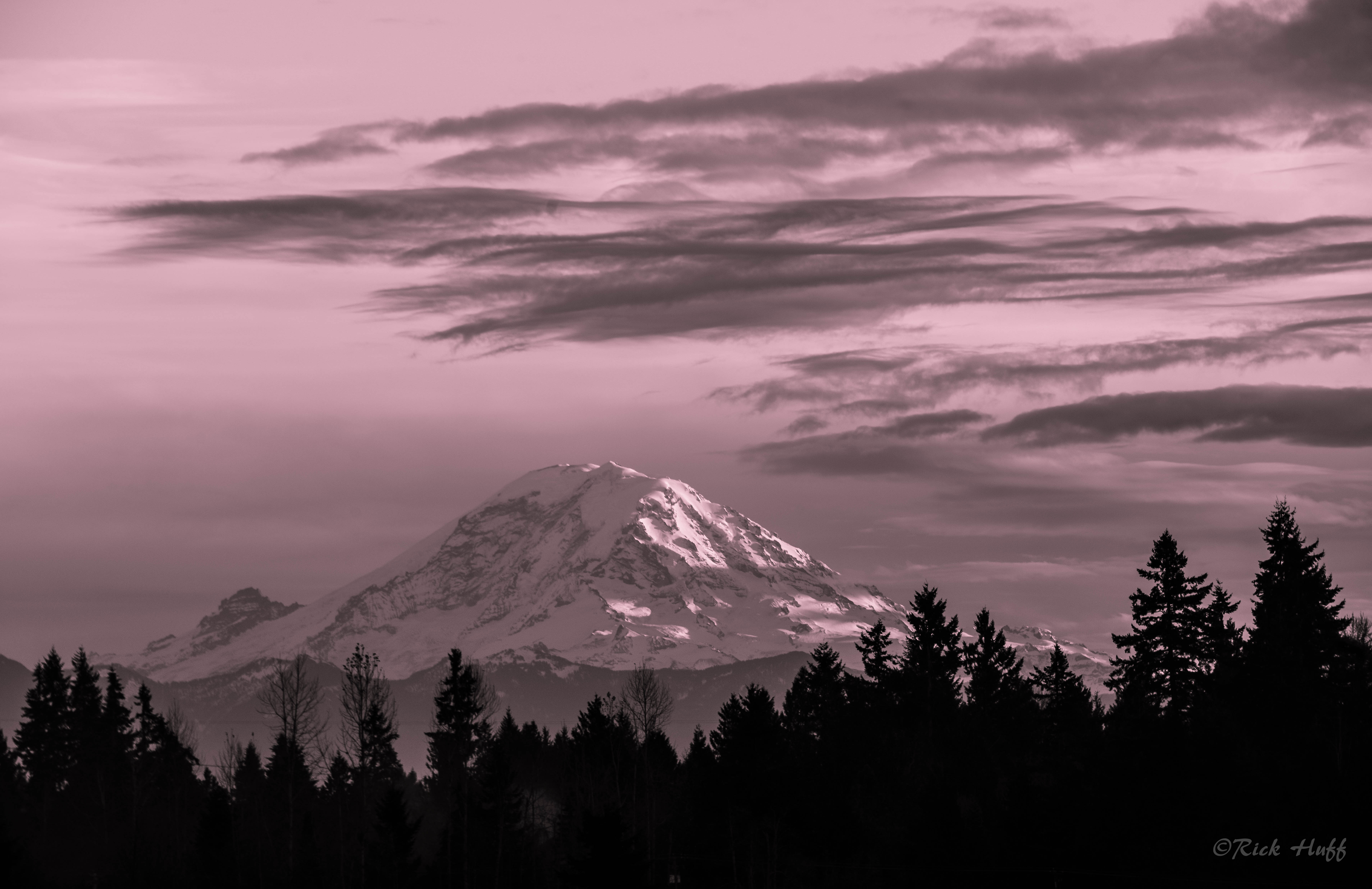
Pretty in Pink
Alone?
It's All Around
Topographic Map of th Ave SE, Kent, WA, USA
Find elevation by address:

Places near th Ave SE, Kent, WA, USA:
25413 127th Ave Se
25413 127th Ave Se
25417 127th Ave Se
25315 126th Ave Se
12710 Se 252 Pl
12933 Se 246th St
12910 Se 240th St
23800 127th Pl Se
25113 116th Ave Se
25441 114th Ave Se
23026 128th Pl Se
23629 112th Ave Se
10812 Se 239th Pl
12619 Se 223rd Dr
th Ave SE, Kent, WA, USA
Mclendon Hardware
11604 Se 221st St
Kent-meridian High School
12620 Se 216th St
10541 Se 228th St
Recent Searches:
- Elevation of Dog Leg Dr, Minden, NV, USA
- Elevation of Dog Leg Dr, Minden, NV, USA
- Elevation of Kambingan Sa Pansol Atbp., Purok 7 Pansol, Candaba, Pampanga, Philippines
- Elevation of Pinewood Dr, New Bern, NC, USA
- Elevation of Mountain View, CA, USA
- Elevation of Foligno, Province of Perugia, Italy
- Elevation of Blauwestad, Netherlands
- Elevation of Bella Terra Blvd, Estero, FL, USA
- Elevation of Estates Loop, Priest River, ID, USA
- Elevation of Woodland Oak Pl, Thousand Oaks, CA, USA