Elevation of th Ave, Grove City, MN, USA
Location: United States > Minnesota > Meeker County > Acton Township >
Longitude: -94.67597
Latitude: 45.087218
Elevation: 366m / 1201feet
Barometric Pressure: 97KPa
Elevation Map:
Satellite Map:
Related Photos:

87 Plymouth Gran Fury

The Starlight Drive-in

Nature in Litchfield

30 Day Flash Photo Challenge: Hosta Leaf [3401]

Beckville, Minnesota
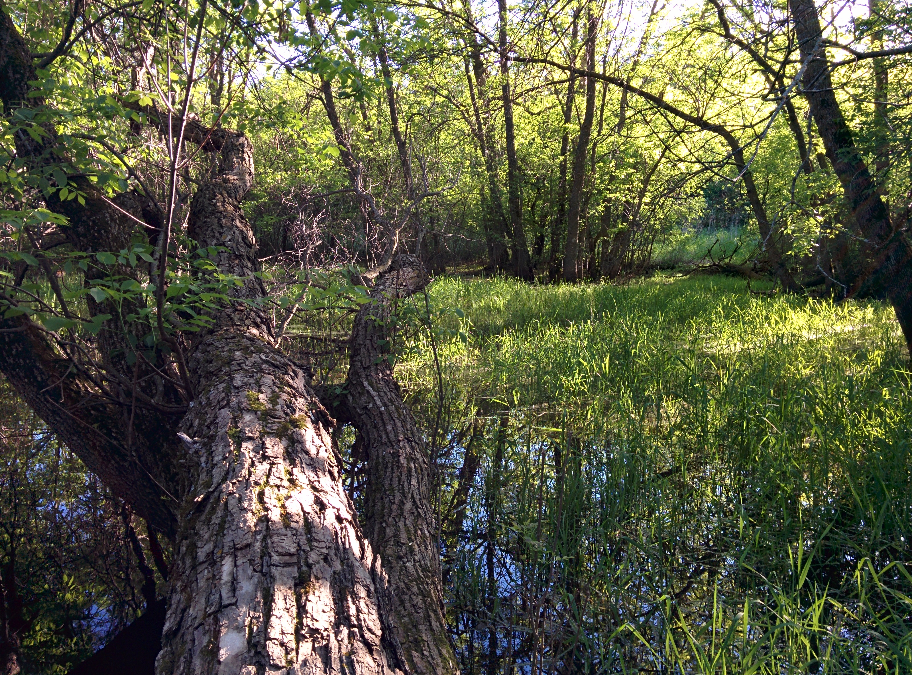
Nature in Litchfield

Field of Red Tulips [2038]
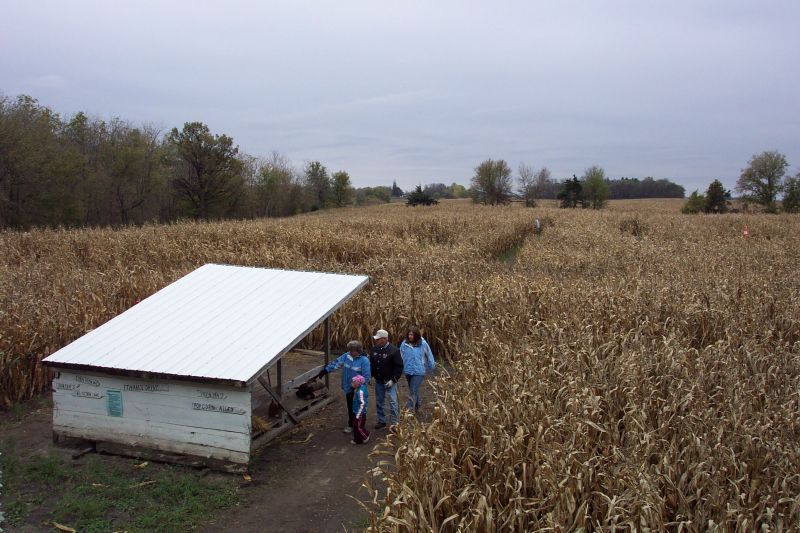
Corn Maze
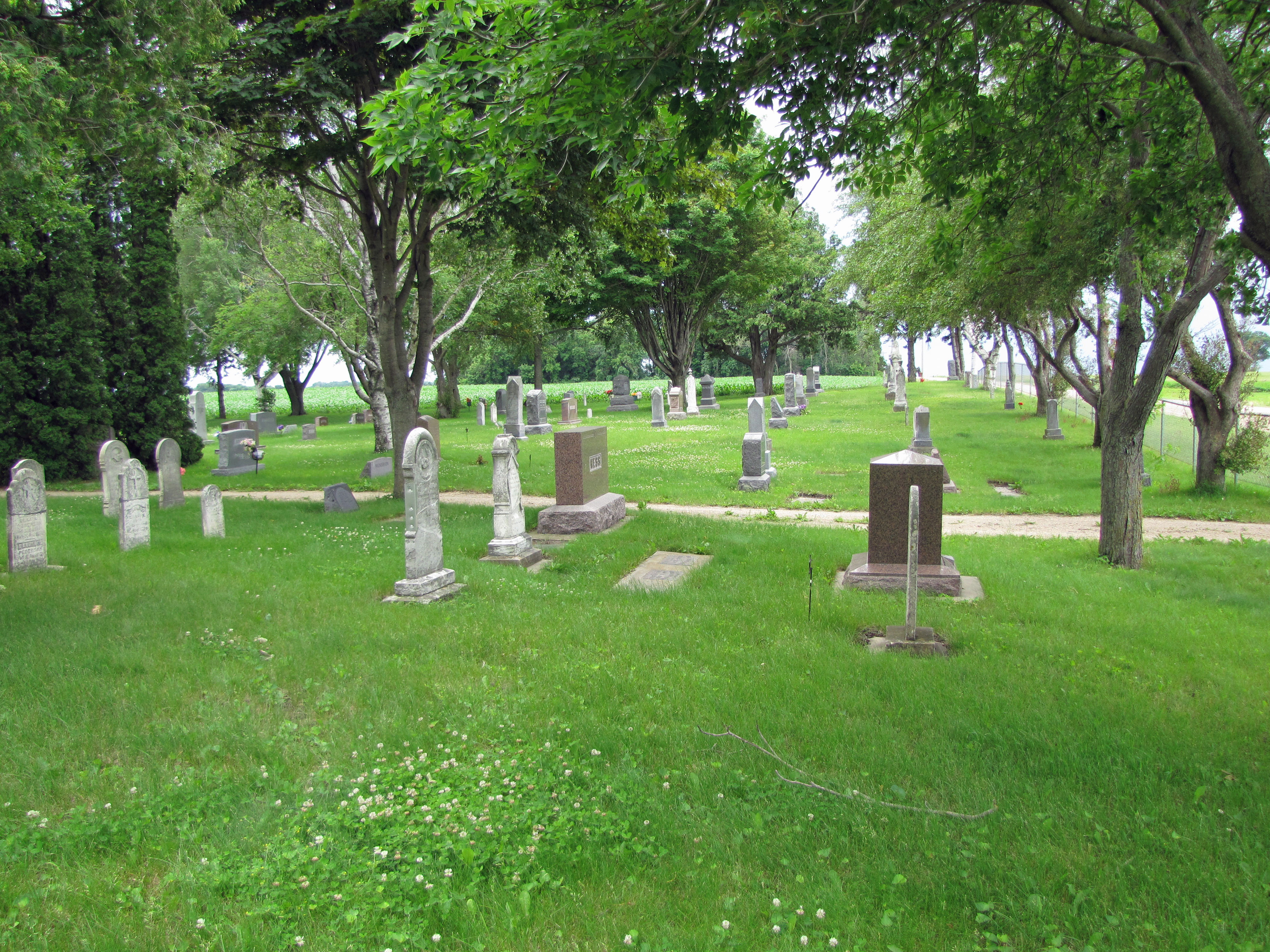
Ness Cemetery (2)

Along the Drive
Topographic Map of th Ave, Grove City, MN, USA
Find elevation by address:

Places near th Ave, Grove City, MN, USA:
Acton Township
55992 248th St
Litchfield Township
55992 245th St
55992 245th St
Atwater
Litchfield, MN, USA
17308 1st Ave E
17298 1st Ave E
Gennessee Township
619 N Holcombe Ave
MN-22, Litchfield, MN, USA
47 E Weisel St, Litchfield, MN, USA
Meeker County
th Ave, Grove City, MN, USA
Union Grove Township
CSAH 9, Darwin, MN, USA
Ellsworth Township
Lake Erie
Darwin
Recent Searches:
- Elevation of 30 Oak Lawn Dr, Barkhamsted, CT, USA
- Elevation of Luther Road, Luther Rd, Auburn, CA, USA
- Elevation of Unnamed Road, Respublika Severnaya Osetiya — Alaniya, Russia
- Elevation of Verkhny Fiagdon, North Ossetia–Alania Republic, Russia
- Elevation of F. Viola Hiway, San Rafael, Bulacan, Philippines
- Elevation of Herbage Dr, Gulfport, MS, USA
- Elevation of Lilac Cir, Haldimand, ON N3W 2G9, Canada
- Elevation of Harrod Branch Road, Harrod Branch Rd, Kentucky, USA
- Elevation of Wyndham Grand Barbados Sam Lords Castle All Inclusive Resort, End of Belair Road, Long Bay, Bridgetown Barbados
- Elevation of Iga Trl, Maggie Valley, NC, USA