Elevation of th Ave E, Eatonville, WA, USA
Location: United States > Washington > Eatonville >
Longitude: -122.26207
Latitude: 46.8590477
Elevation: 246m / 807feet
Barometric Pressure: 98KPa
Elevation Map:
Satellite Map:
Related Photos:

Let It Be
What a view..

Tonight's View

The Dominant View

Alder Cutoff Road

Day 047/365 - Clear Lake

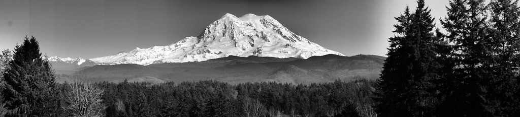
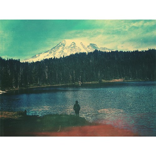
Mt. Rainier 4

Truncated Glen

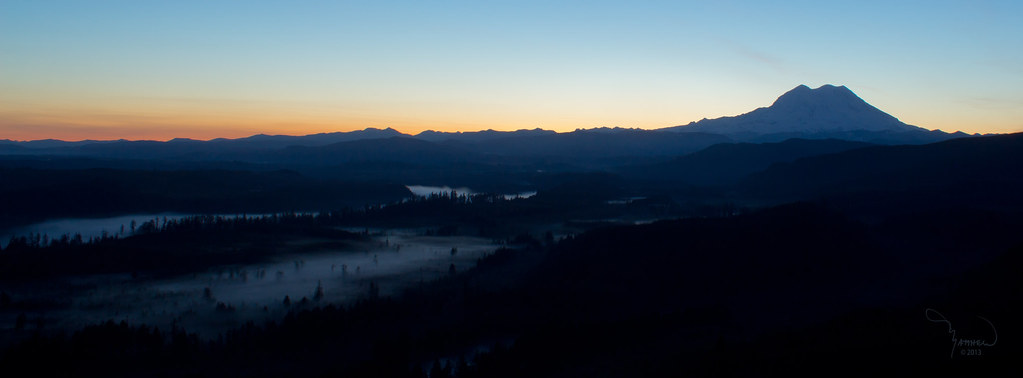
Mount Rainier Sunset
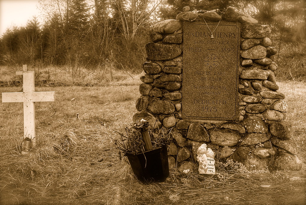
Grave of Indian Henry

Mt. Rainier first view in BW

Mt. Rainier National Park-First view

23.1 view to the south

Mt. Rainier 3

A Roadside View to Mount Rainier

Mt. Rainier 2

Cougar (Mountain Lion)

Aerial View of Mt Rainier
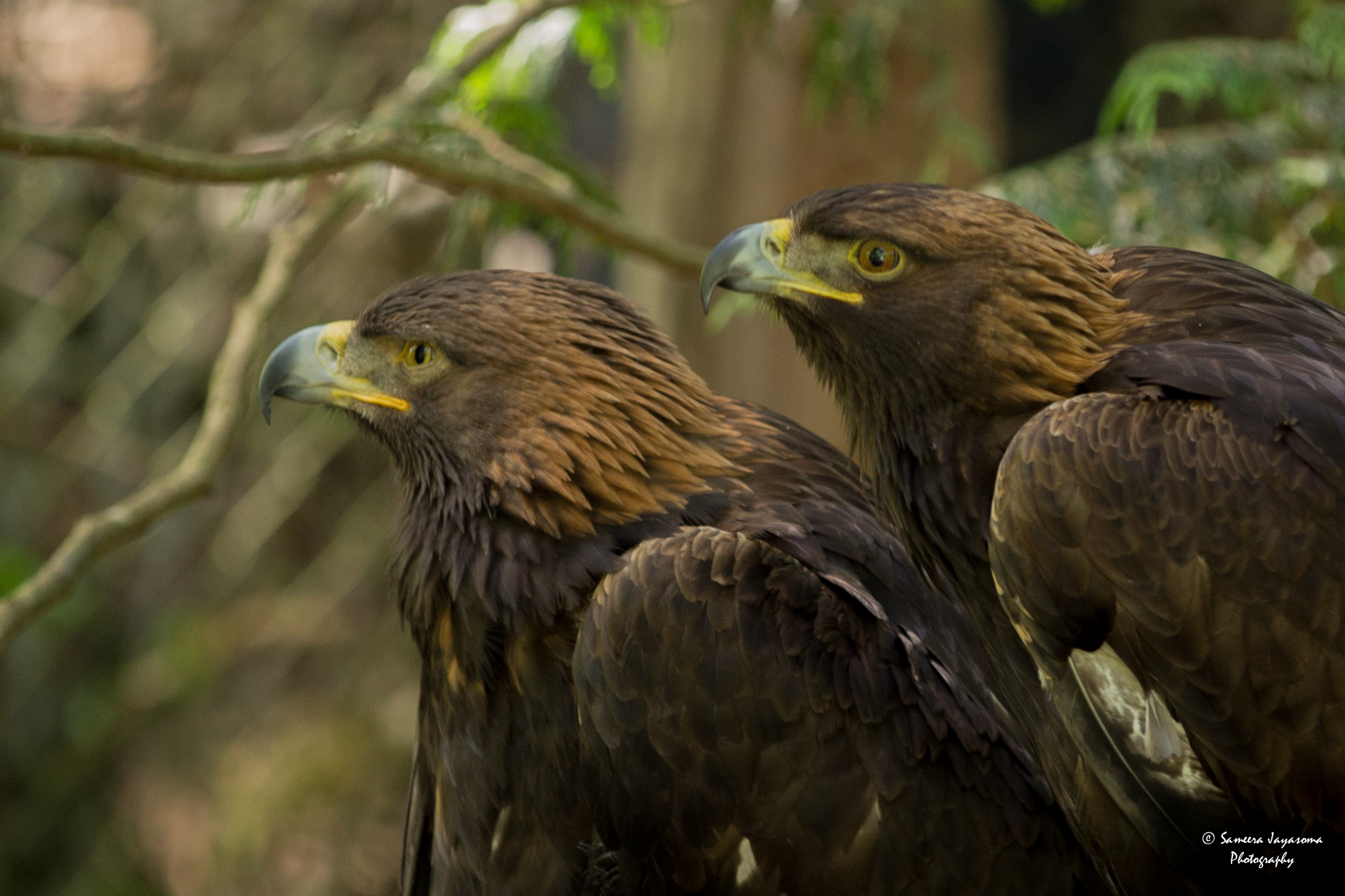
Golden Eagle

IMG_1209 Lower Falls - Deschutes Falls

Moment of victory

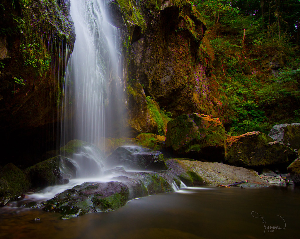
Deschutes Falls

Little Mashel Middle Falls

Alder Lake, Drained ['Splored!]

180520_Little Mashel Falls_002
Nisqaully river valley and Mt Rainier

Middle Falls reflected
Mount Rainier, WA ∞ ↟↟↟↟↟↟ /// #vsco #mextures #vscomextures #vscolove #vsconature #vscogrid #wa #washington #mtrainier #iheartmextures2 #westcoast #liveauthentic
Little Mashel Middle Falls

Middle Mashel

Deschutes Falls Park in snow

Middle Child
Topographic Map of th Ave E, Eatonville, WA, USA
Find elevation by address:

Places near th Ave E, Eatonville, WA, USA:
300 Center St E
201 Center St E
Eatonville
United States Postal Service
449 Cessna Ct E
778 Gracie Ln W
183 Dow Ridge Dr N
Campbell Lane East
9320 Ohop Valley-extension Rd E
9107 Ohop Valley Rd E
9010 453rd St E
49706 146th Ave E
49708 146th Ave E
49816 146th Ave E
La Grande
Jensen Road East
Cemetery Rd E, Eatonville, WA, USA
Ohop Valley Rd E, Eatonville, WA, USA
9811 362nd St E
37805 80th Ave E
Recent Searches:
- Elevation of Lampiasi St, Sarasota, FL, USA
- Elevation of Elwyn Dr, Roanoke Rapids, NC, USA
- Elevation of Congressional Dr, Stevensville, MD, USA
- Elevation of Bellview Rd, McLean, VA, USA
- Elevation of Stage Island Rd, Chatham, MA, USA
- Elevation of Shibuya Scramble Crossing, 21 Udagawacho, Shibuya City, Tokyo -, Japan
- Elevation of Jadagoniai, Kaunas District Municipality, Lithuania
- Elevation of Pagonija rock, Kranto 7-oji g. 8"N, Kaunas, Lithuania
- Elevation of Co Rd 87, Jamestown, CO, USA
- Elevation of Tenjo, Cundinamarca, Colombia