Elevation of Teuva, Finland
Location: Finland >
Longitude: 21.7392081
Latitude: 62.4800375
Elevation: 49m / 161feet
Barometric Pressure: 101KPa
Elevation Map:
Satellite Map:
Related Photos:
MUS 1921

Kaily Teedla

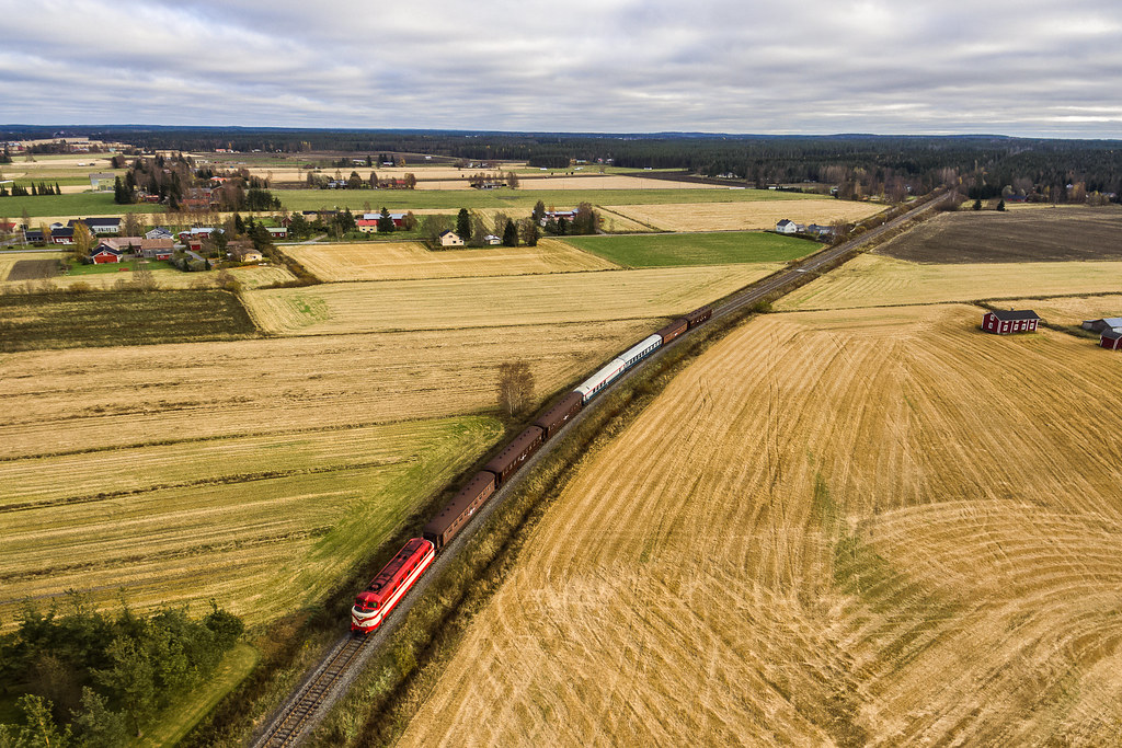
78-365 Clouds are comming
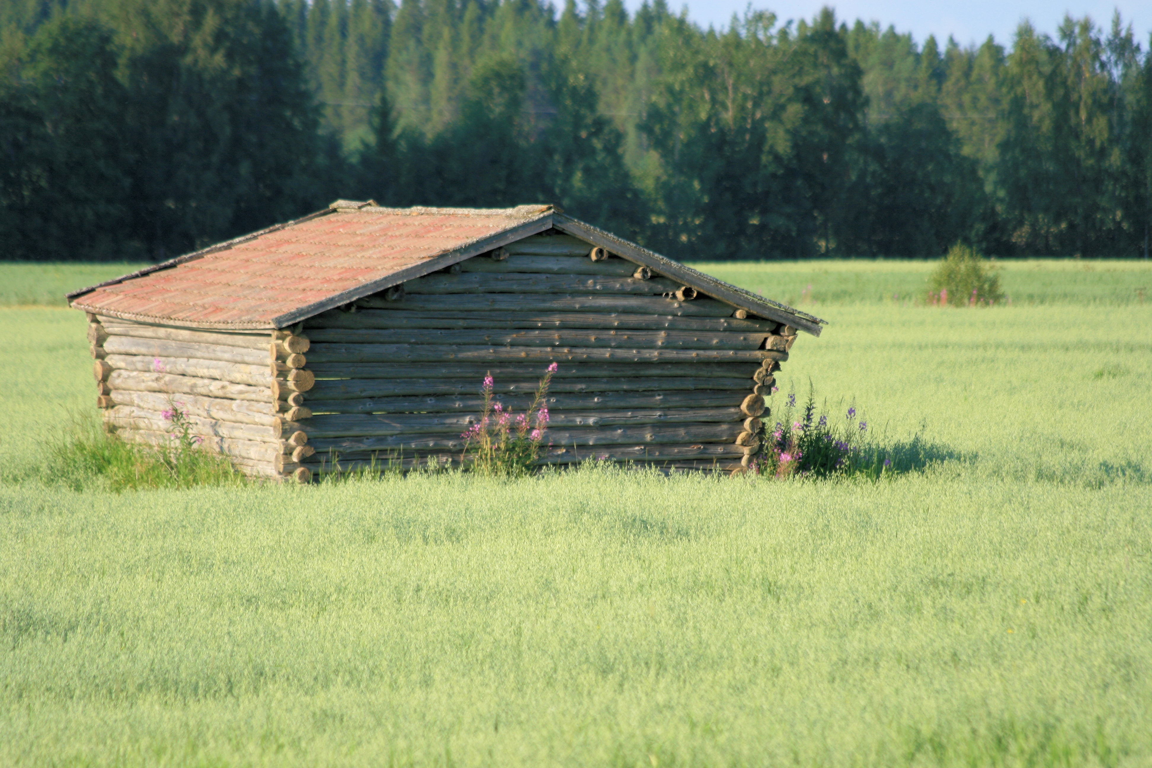
Old barn
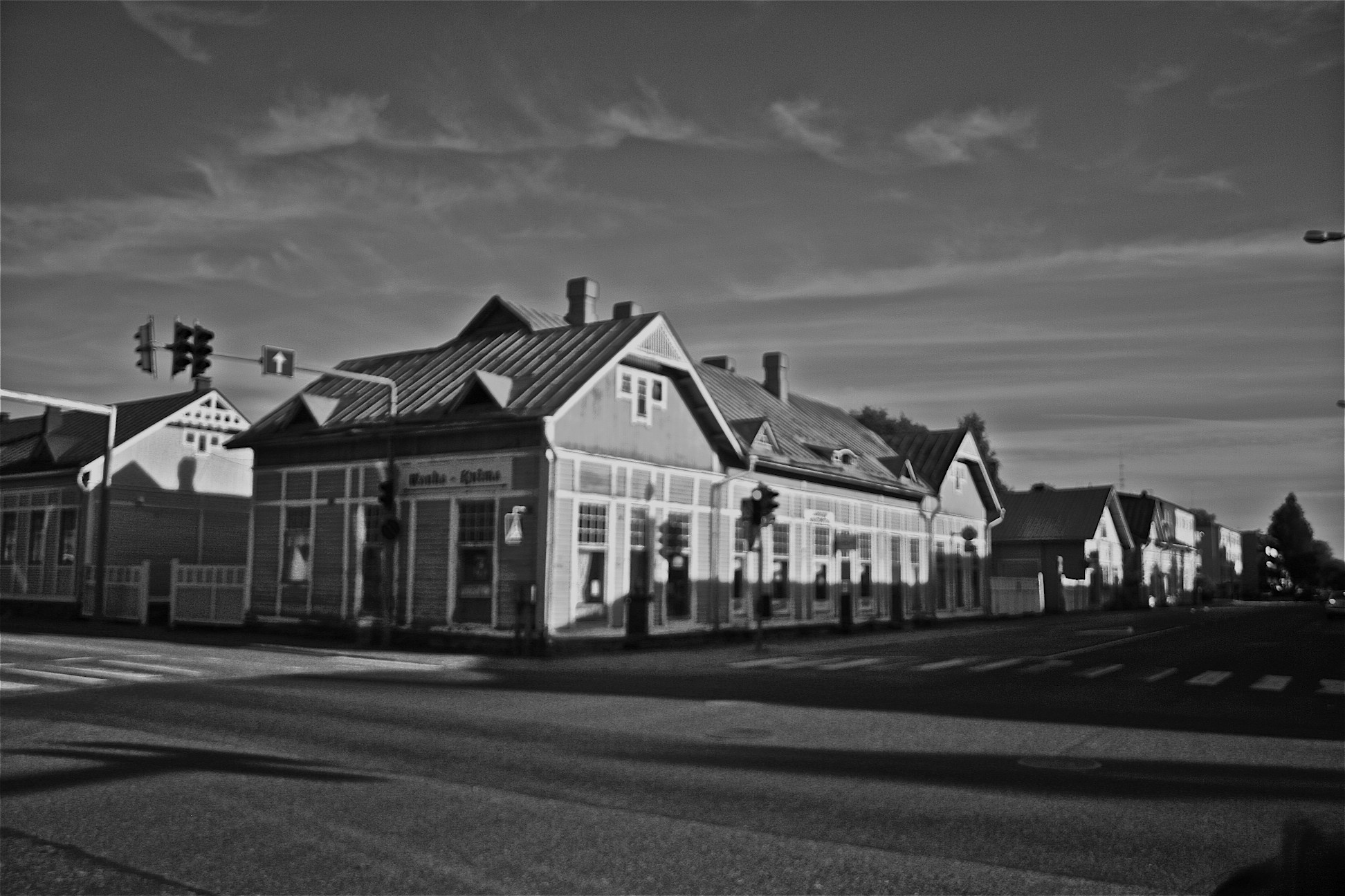
Wooden house.
Topographic Map of Teuva, Finland
Find elevation by address:

Places in Teuva, Finland:
Places near Teuva, Finland:
Joentaustantie, Teuva, Finland
Poolantie, Laihia, Finland
Isojoki
Isojoki
Malax
Malax
Malax
Laihia
Tuvaksentie, Malax, Finland
Tulisaarentie 7, Laihia, Finland
Farmarevägen 2, Vasa, Finland
Öjberget
Konnonperäntie 10, Laihia, Finland
Sandviksgatan 2, Vasa, Finland
Vaasa
Vaasa
Korsholm
Kruunantie 36
Ympyrätie 28, Vaasa, Finland
Vatajantie 95, Honkajoki, Finland
Recent Searches:
- Elevation of Congressional Dr, Stevensville, MD, USA
- Elevation of Bellview Rd, McLean, VA, USA
- Elevation of Stage Island Rd, Chatham, MA, USA
- Elevation of Shibuya Scramble Crossing, 21 Udagawacho, Shibuya City, Tokyo -, Japan
- Elevation of Jadagoniai, Kaunas District Municipality, Lithuania
- Elevation of Pagonija rock, Kranto 7-oji g. 8"N, Kaunas, Lithuania
- Elevation of Co Rd 87, Jamestown, CO, USA
- Elevation of Tenjo, Cundinamarca, Colombia
- Elevation of Côte-des-Neiges, Montreal, QC H4A 3J6, Canada
- Elevation of Bobcat Dr, Helena, MT, USA